The best hiking routes in Plovdiv
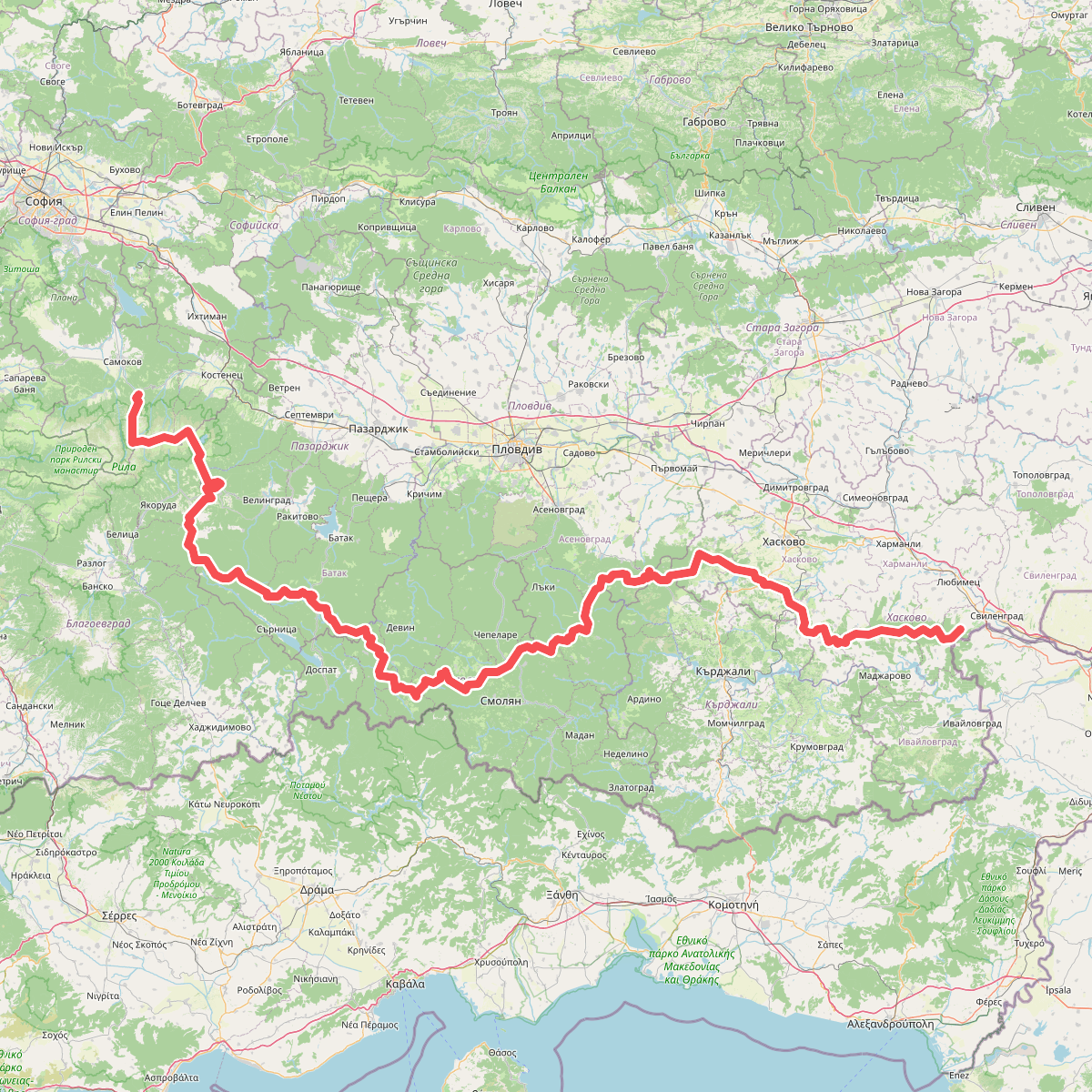
Discover the best walks in Plovdiv. 1 routes on the map, with descriptions, photos and GPX.
About Plovdiv
Пловдив sits in a flat river basin, but walkers looking for distinct terrain must choose between the high, steep slopes of the Balkan Mountains to the north and the low, riparian wetlands along the Maritsa River. These two environments demand different preparation. The high-altitude terrain of Централен Балкан consists of steep, rocky paths and open mountain meadows where the underfoot is dominated by stone and hard-packed dirt. In contrast, the lowlands of Марица - Първомай offer flat, alluvial terrain where the paths are mostly dirt tracks and sandy riverbanks.
Read more
About Plovdiv
Пловдив sits in a flat river basin, but walkers looking for distinct terrain must choose between the high, steep slopes of the Balkan Mountains to the north and the low, riparian wetlands along the Maritsa River. These two environments demand different preparation. The high-altitude terrain of Централен Балкан consists of steep, rocky paths and open mountain meadows where the underfoot is dominated by stone and hard-packed dirt. In contrast, the lowlands of Марица - Първомай offer flat, alluvial terrain where the paths are mostly dirt tracks and sandy riverbanks.
Read moreПловдив sits in a flat river basin, but walkers looking for distinct terrain must choose between the high, steep slopes of the Balkan Mountains to the north and the low, riparian wetlands along the Maritsa River. These two environments demand different preparation. The high-altitude terrain of Централен Балкан consists of steep, rocky paths and open mountain meadows where the underfoot is dominated by stone and hard-packed dirt. In contrast, the lowlands of Марица - Първомай offer flat, alluvial terrain where the paths are mostly dirt tracks and sandy riverbanks.
In Централен Балкан, the landscape is defined by sheer cliffs and deep gorges, a result of tectonic uplift that created dramatic elevation changes. Walkers here will face strenuous climbs but no permanent snowfields or glacier crossings. In the low-lying Марица - Първомай, the landscape is shaped by seasonal river flooding, leaving behind dense willow forests and gravel beds. This river area is flat and lacks any significant climbs, making it suitable for gentle, horizontal walking.
Underfoot conditions vary by elevation. The mountain trails in Централен Балкан can be rough with loose scree, particularly during the late spring snowmelt in May. The river paths of Марица - Първомай are softer, though they can become muddy after heavy inland rains. While the mountain routes are popular with hikers seeking panoramic views of the ridge, the riverbanks are generally quieter, attracting those interested in birdwatching rather than physical climbs.
Nature areas in Plovdiv
Zoom or pan for more routes