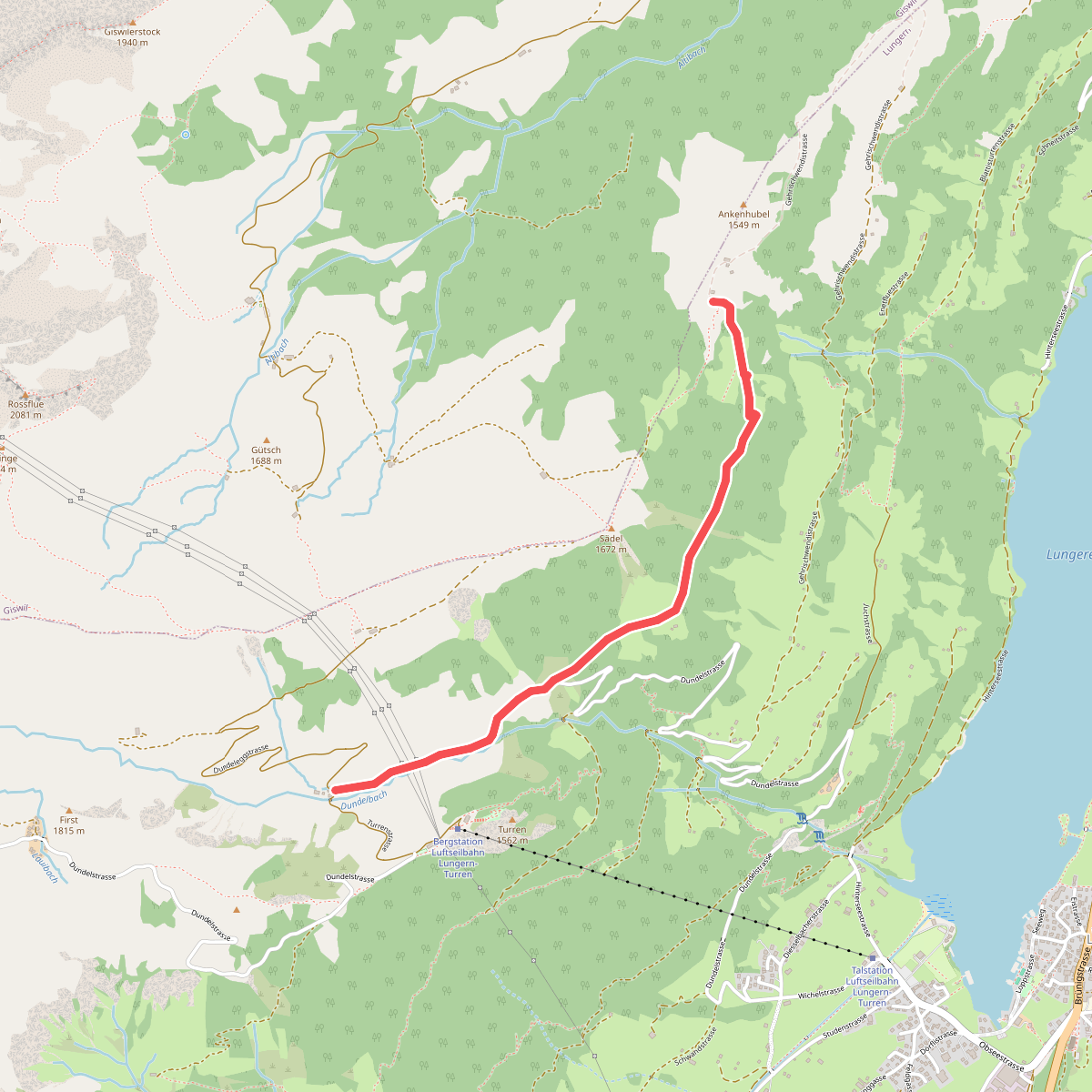
The best hiking routes in Obwalden
Discover the best walks in Obwalden. 57 routes on the map, with descriptions, photos and GPX.
About Obwalden
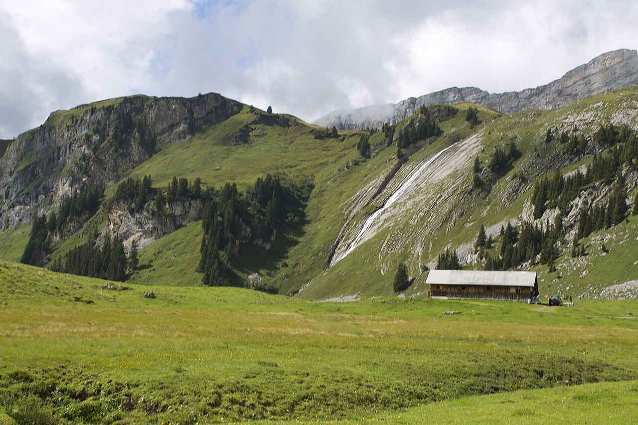
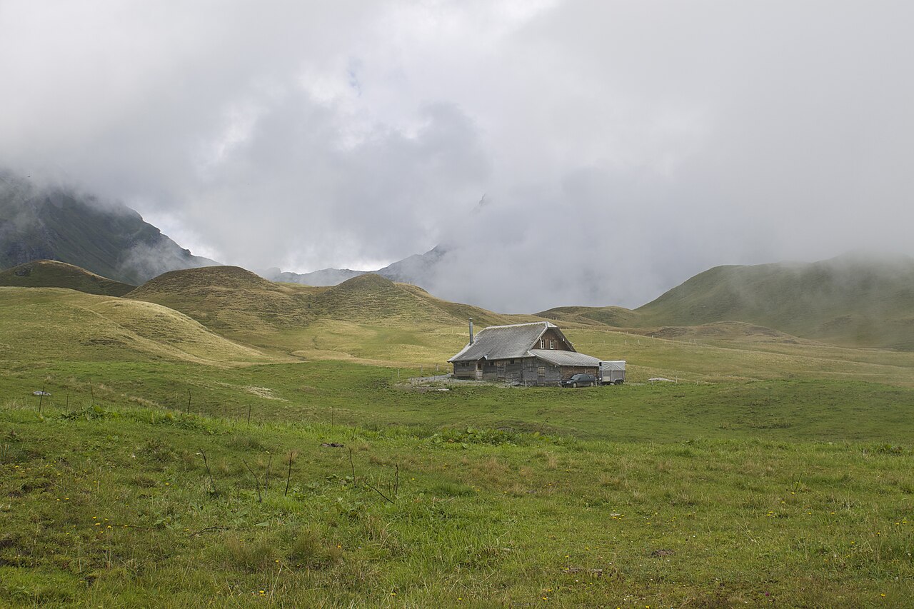
Obwalden is a region of sharp vertical contrasts, split between the low-lying lake basins in the north and the high limestone ridges of the south. If you prefer gentle, steady walking, the paths around Lake Sarnersee offer flat gravel underfoot, bordered by orchards and small farms. This is a working landscape where you will hear the constant chime of cowbells and pass active timber yards, rather than a wilderness. The walking here is straightforward, avoiding the steep climbs found deeper in the canton.
Read more
About Obwalden
Obwalden is a region of sharp vertical contrasts, split between the low-lying lake basins in the north and the high limestone ridges of the south. If you prefer gentle, steady walking, the paths around Lake Sarnersee offer flat gravel underfoot, bordered by orchards and small farms. This is a working landscape where you will hear the constant chime of cowbells and pass active timber yards, rather than a wilderness. The walking here is straightforward, avoiding the steep climbs found deeper in the canton.
Read moreObwalden is a region of sharp vertical contrasts, split between the low-lying lake basins in the north and the high limestone ridges of the south. If you prefer gentle, steady walking, the paths around Lake Sarnersee offer flat gravel underfoot, bordered by orchards and small farms. This is a working landscape where you will hear the constant chime of cowbells and pass active timber yards, rather than a wilderness. The walking here is straightforward, avoiding the steep climbs found deeper in the canton.
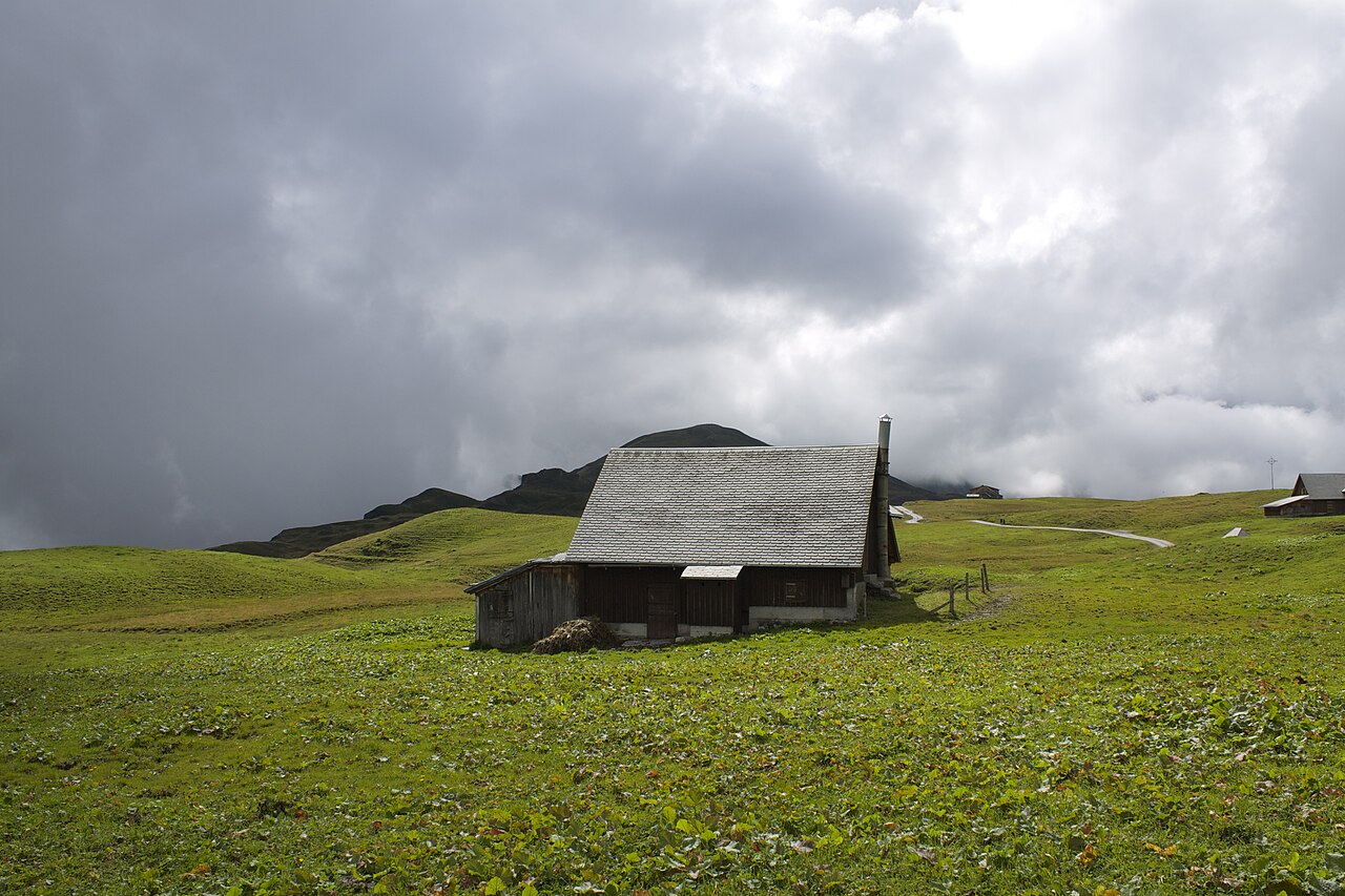
For those seeking rugged terrain, the Melchsee-Frutt alpine plateau presents a completely different character. Accessible by cable car, this upper shelf features karst rock formations, cold mountain lakes, and rough, stony paths that require sturdy footwear. In June, the melting snow reveals damp alpine meadows thick with wildflowers, while by October, the landscape turns a dry, rusty brown. The terrain is exposed, with low-growing shrubs instead of trees, meaning there is little shelter from the elements.
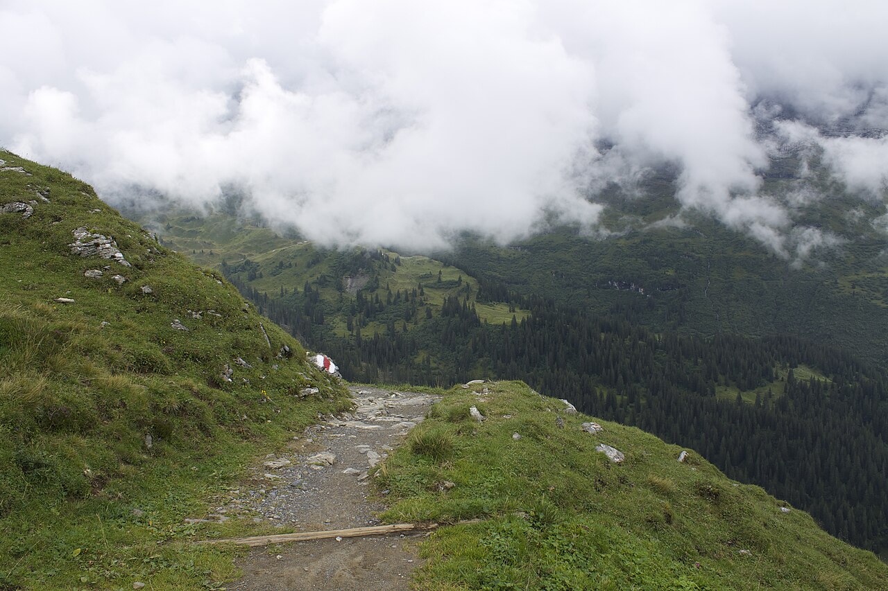
This is not a region of vast, empty plains or deep, forested gorges. Instead, the landscape is defined by its steepness, where a single valley floor quickly gives way to sheer rock faces. You will frequently encounter wooden steps carved into the hillsides and narrow paths cut directly into the cliffside to negotiate the sudden changes in elevation. While the lakeside paths are often busier with local families, the higher mountain trails attract those looking for a more demanding physical climb.
Zoom or pan for more routes
Hiking routes in Obwalden (57)
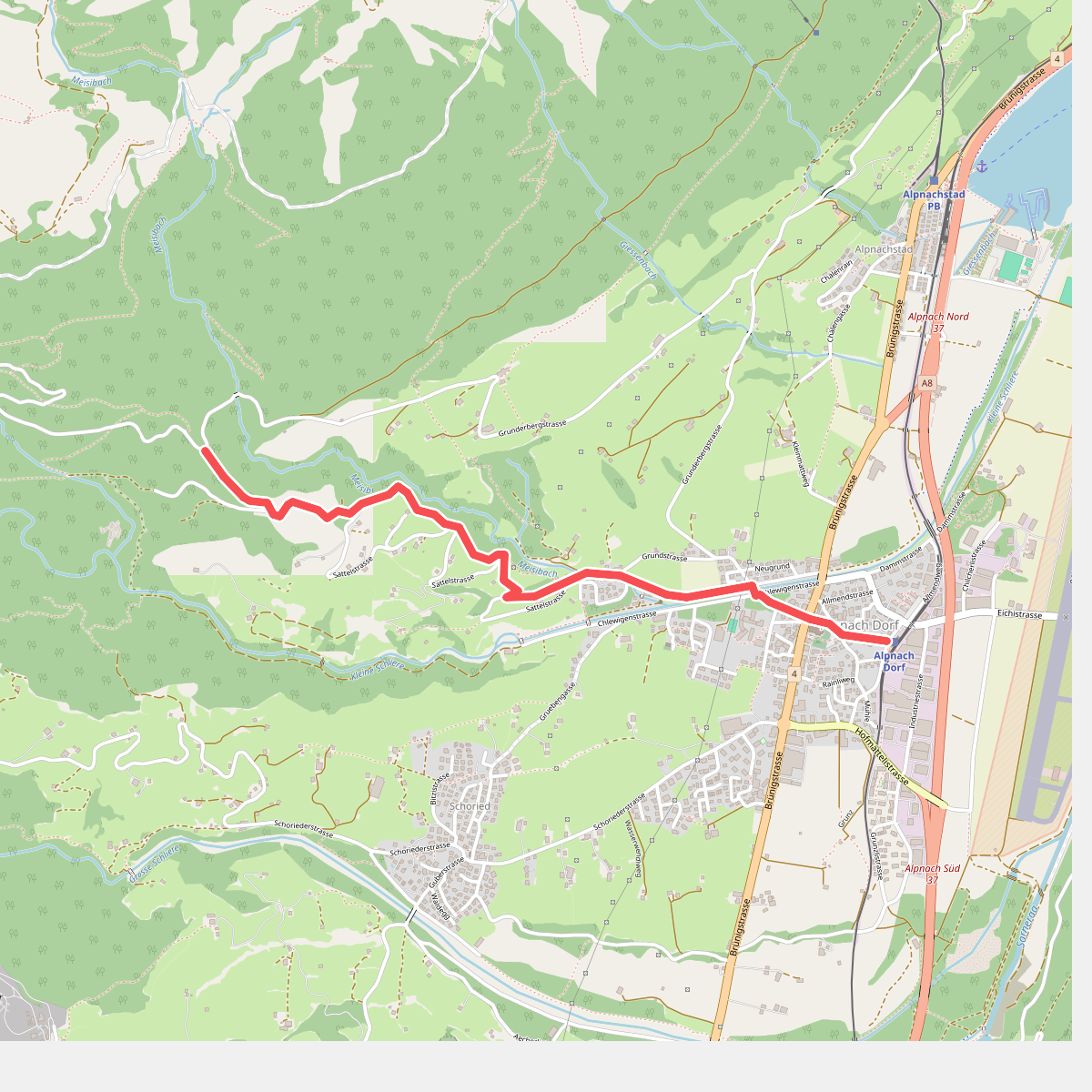
#1. Alpnach Dorf - Winterhalten
Alpnach
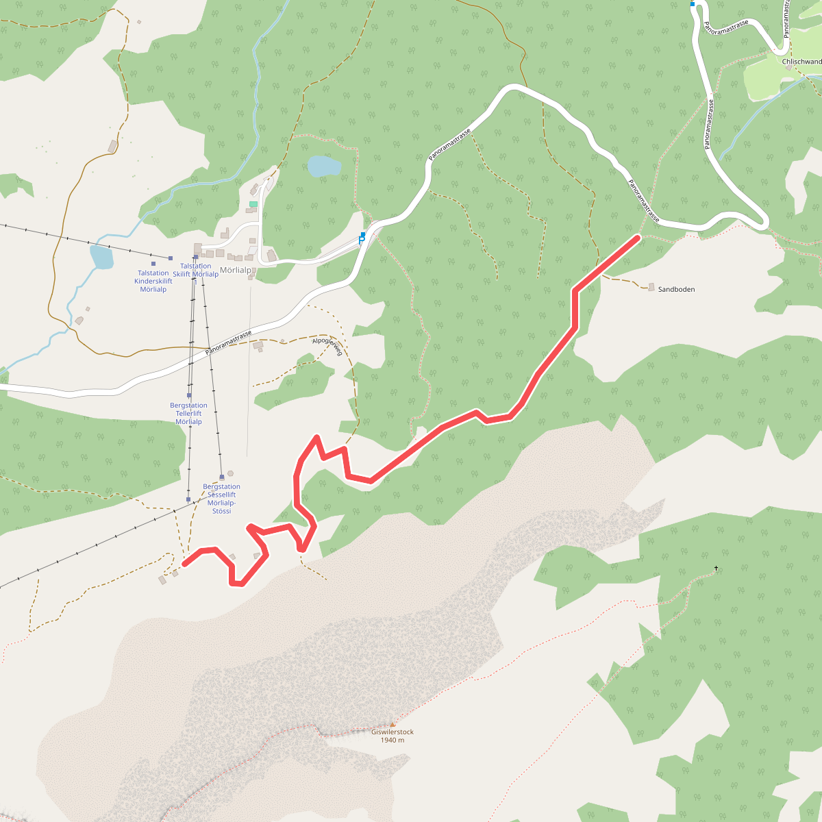
#2. Alpoglen - Sandboden
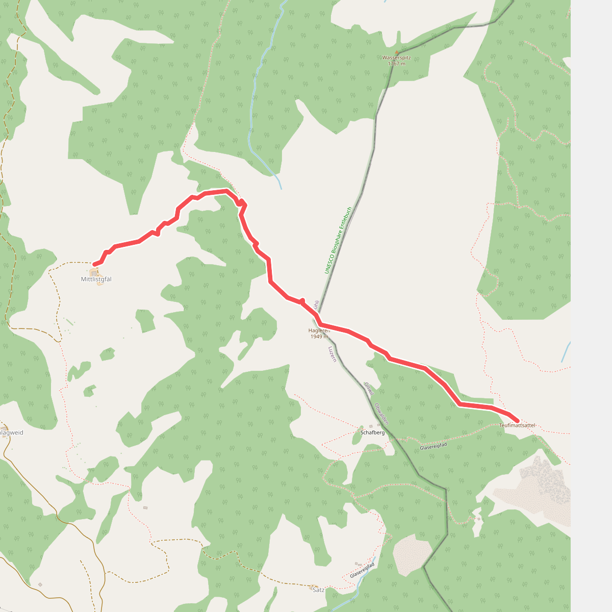
#3. Alpweid
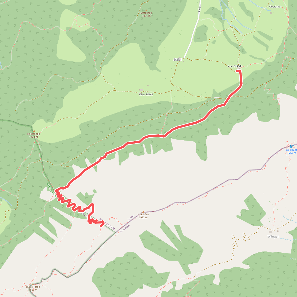
#4. Änerstäfeli - Kanapee
Entlebuch,Schwarzenberg
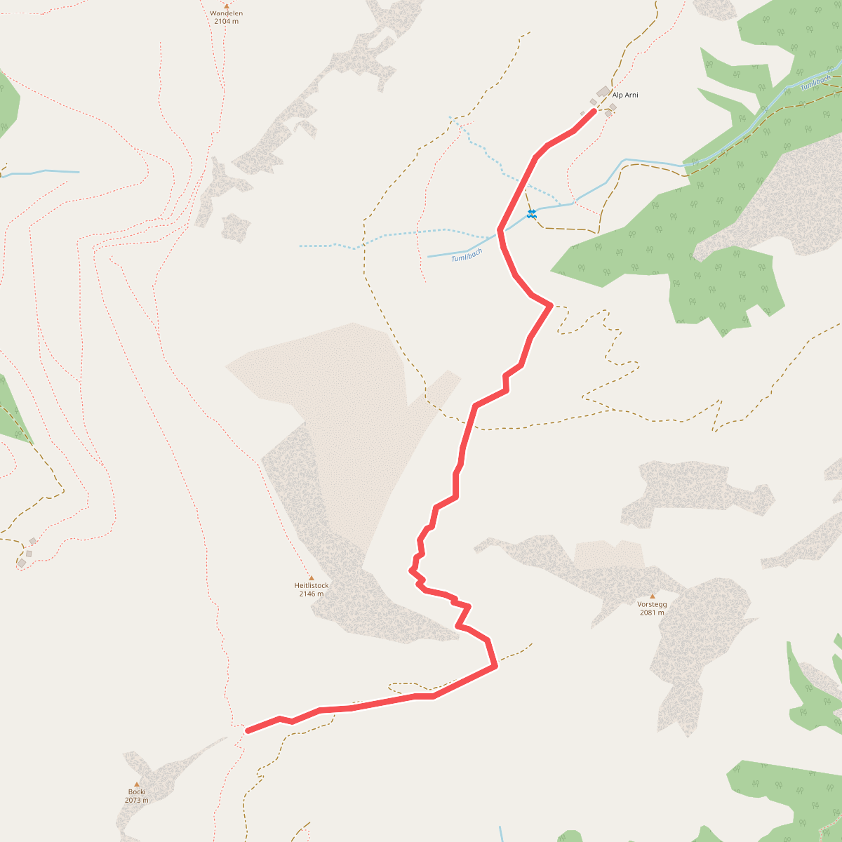
#5. Arni - Frutt
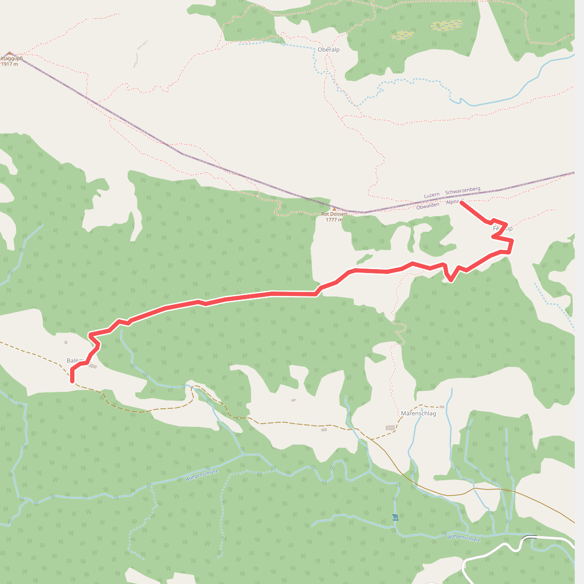
#6. Balismatt - Felli
Alpnach
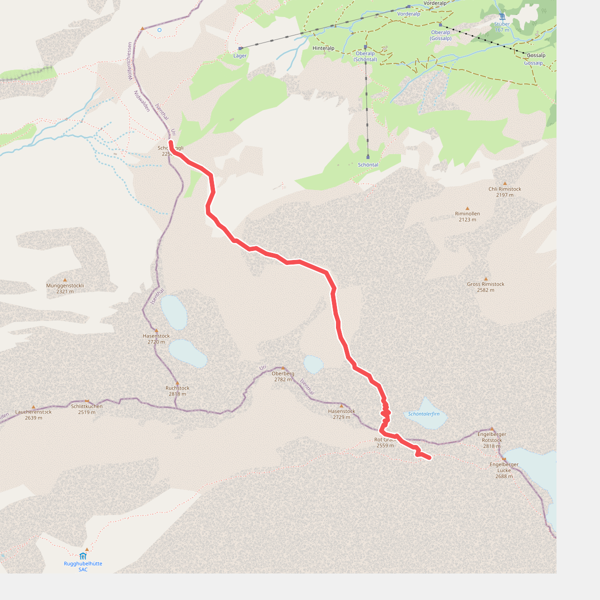
#7. Bannalper Schonegg - Rot Grätli
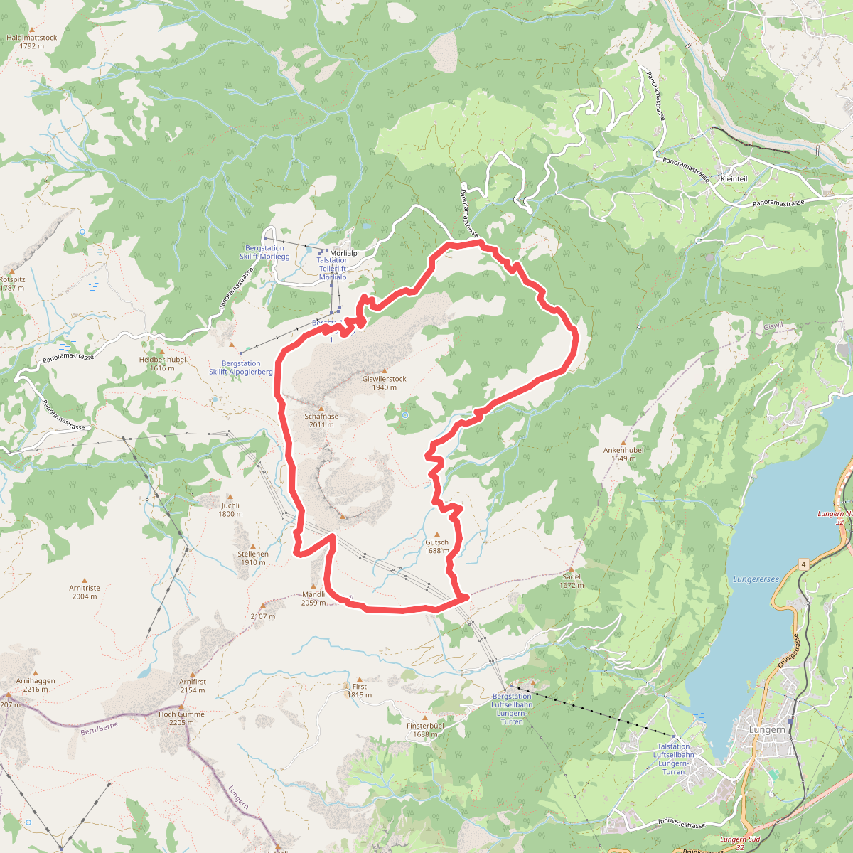
#8. Bärgmandlipfad Giswil
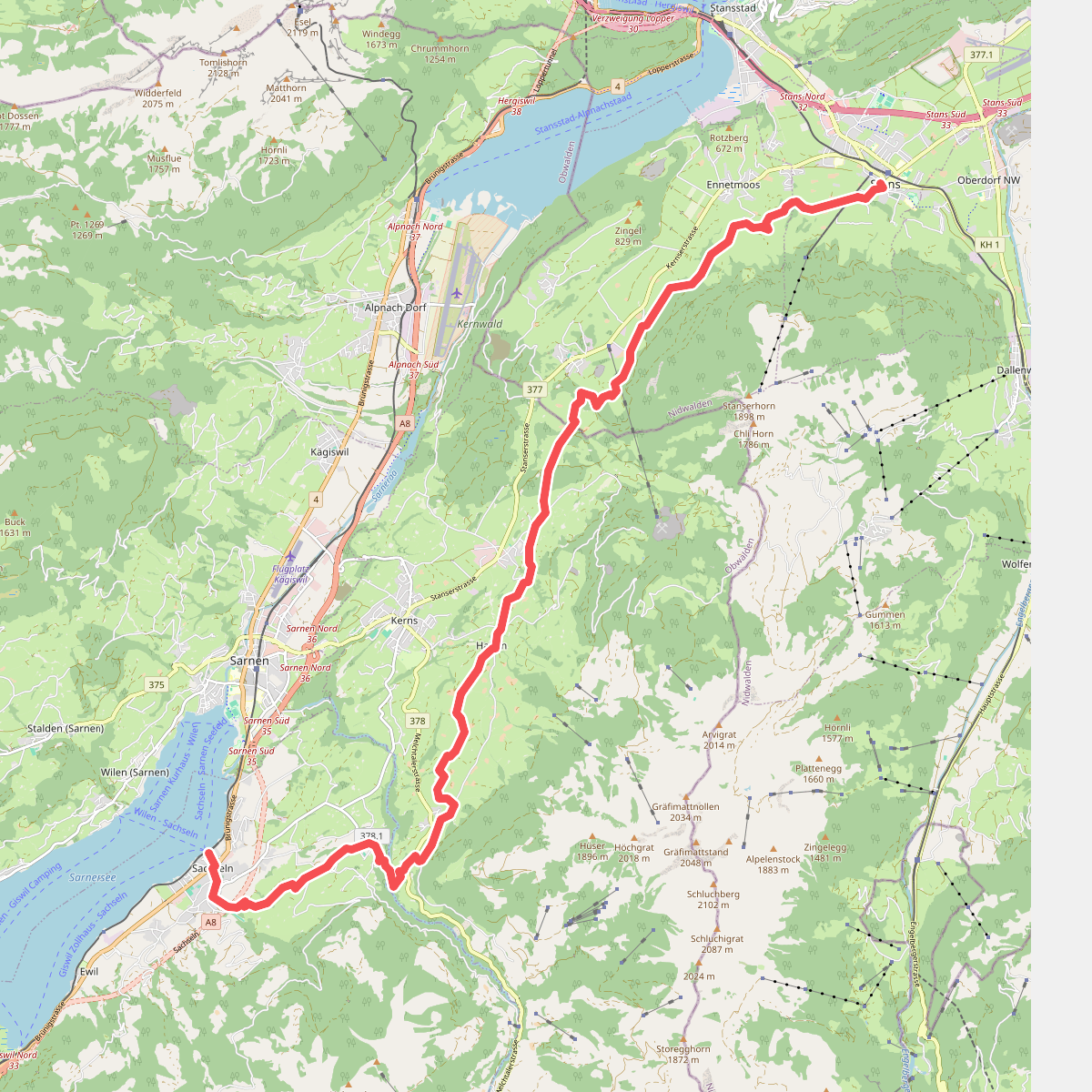
#9. Bruder-Klausen-Weg
Stans,Ennetmoos,Kerns,Sachseln
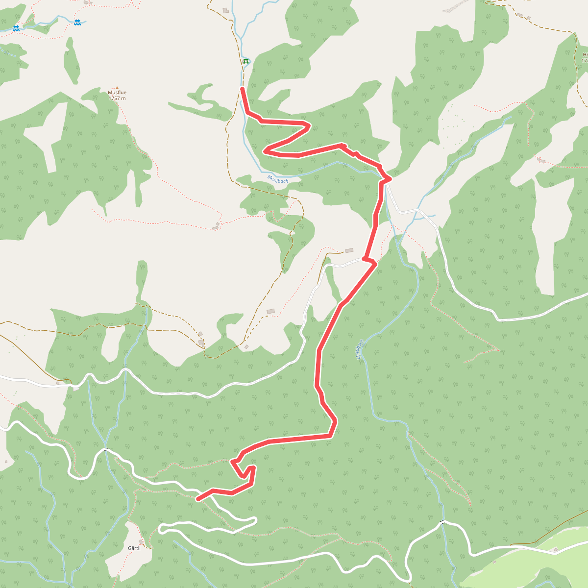
#10. Deneten- Skiaufstieg
Alpnach
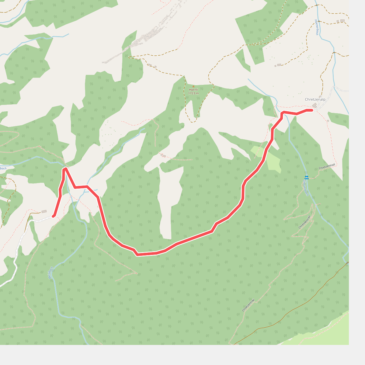
#11. Deneten - Under Chretzen
Alpnach