

The best hiking routes in North Rhine-Westphalia
Discover the best walks in North Rhine-Westphalia. 3702 routes on the map, with descriptions, photos and GPX.
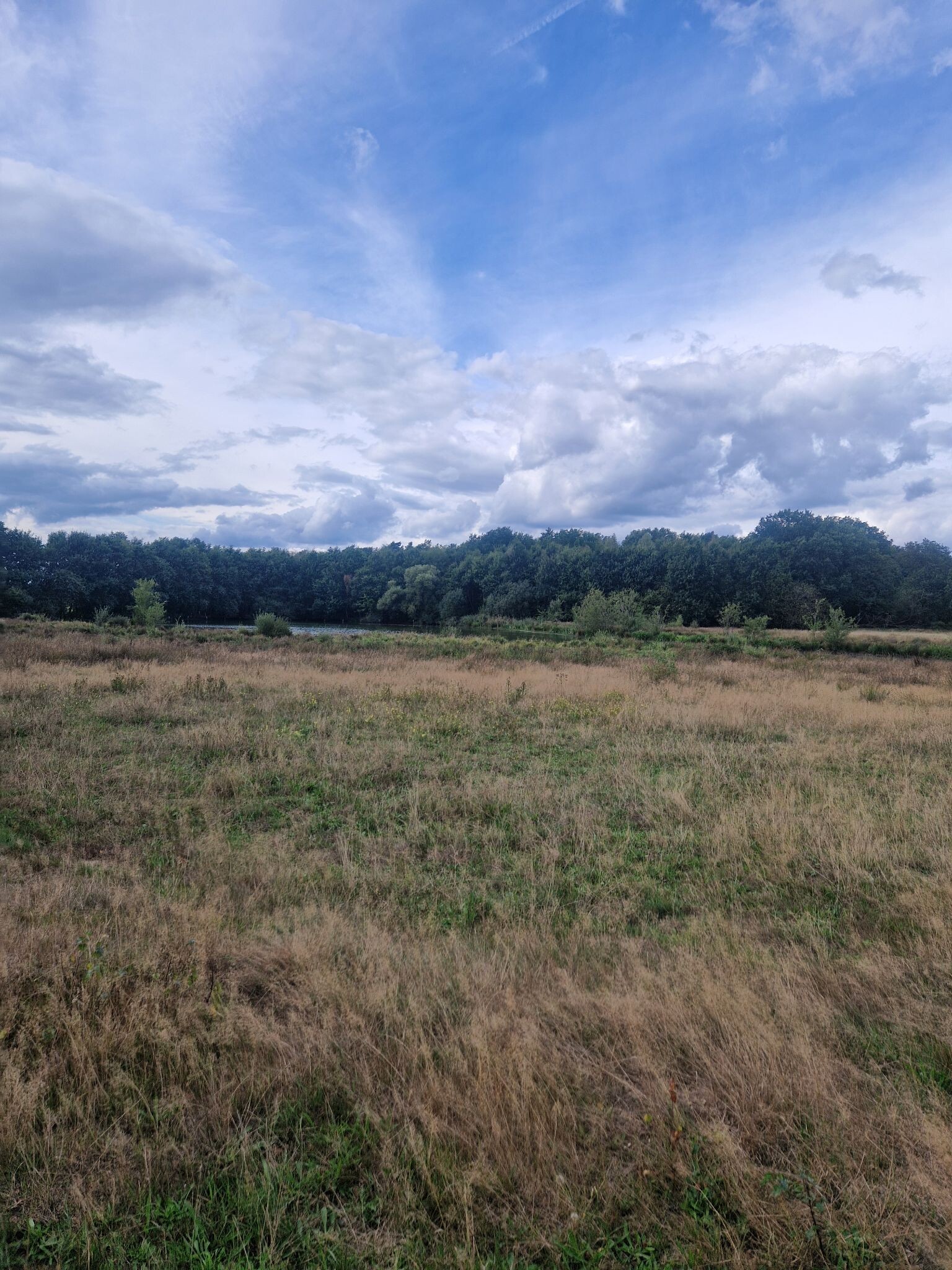
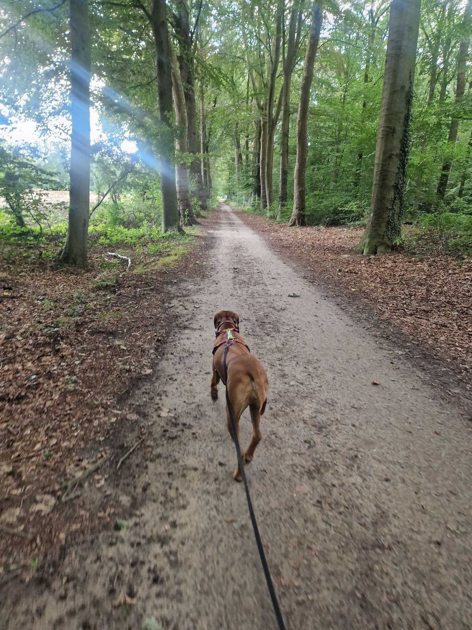
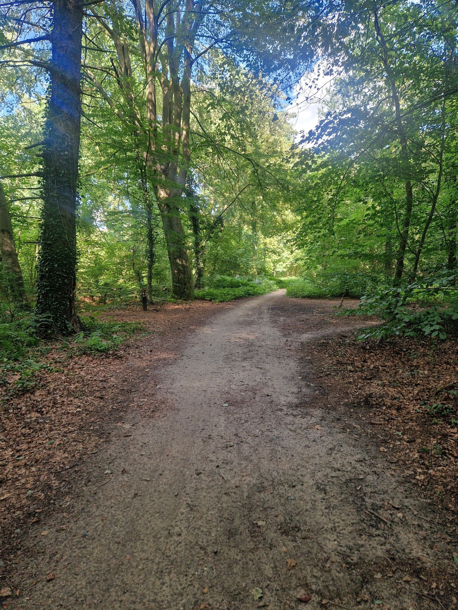
About North Rhine-Westphalia
North Rhine-Westphalia offers a choice between dense, forested uplands and flat, sandy borderlands. In the south and east, the landscape rises into significant hills. Naturpark Sauerland-Rothaargebirge features steep valleys and vast spruce and beech forests, where the paths are often hard-packed gravel forestry tracks. Further north, Naturpark Teutoburger Wald / Eggegebirge forms a narrow, rocky limestone ridge that cuts through the plains, offering walkers defined ridge trails with frequent sandstone outcrops underfoot.
Read more
About North Rhine-Westphalia
North Rhine-Westphalia offers a choice between dense, forested uplands and flat, sandy borderlands. In the south and east, the landscape rises into significant hills. Naturpark Sauerland-Rothaargebirge features steep valleys and vast spruce and beech forests, where the paths are often hard-packed gravel forestry tracks. Further north, Naturpark Teutoburger Wald / Eggegebirge forms a narrow, rocky limestone ridge that cuts through the plains, offering walkers defined ridge trails with frequent sandstone outcrops underfoot.
Read moreNorth Rhine-Westphalia offers a choice between dense, forested uplands and flat, sandy borderlands. In the south and east, the landscape rises into significant hills. Naturpark Sauerland-Rothaargebirge features steep valleys and vast spruce and beech forests, where the paths are often hard-packed gravel forestry tracks. Further north, Naturpark Teutoburger Wald / Eggegebirge forms a narrow, rocky limestone ridge that cuts through the plains, offering walkers defined ridge trails with frequent sandstone outcrops underfoot.
For those who prefer gentler terrain, the western border areas present a different landscape shaped by water and wind. In De Meinweg, the terrain is defined by a terrace landscape formed by the Maas river, where you walk on sandy tracks through a mix of heather and birch forests. Nearby, De Maasduinen consists of long, low inland dunes where the soil is loose sand, requiring more physical effort despite the lack of elevation. These areas do not offer deep valleys or high peaks, but rather a quiet, horizontal landscape of heath and pine.
In the southwest, Nationalpark Eifel and the adjacent Naturpark Hohes Venn-Eifel showcase the transition from volcanic hills to high moors. Here, walkers encounter damp peat soils and wooden boardwalks designed to protect the fragile bog environment. In contrast, Naturpark Bergisches Land is characterized by numerous drinking water reservoirs, where paths contour around wide bays of water through rolling agricultural land and deciduous woods. Walking here means navigating a patchwork of small-scale farming and damp valleys rather than wilderness.
Nature areas in North Rhine-Westphalia
Zoom or pan for more routes
Hiking routes in North Rhine-Westphalia (3,702)
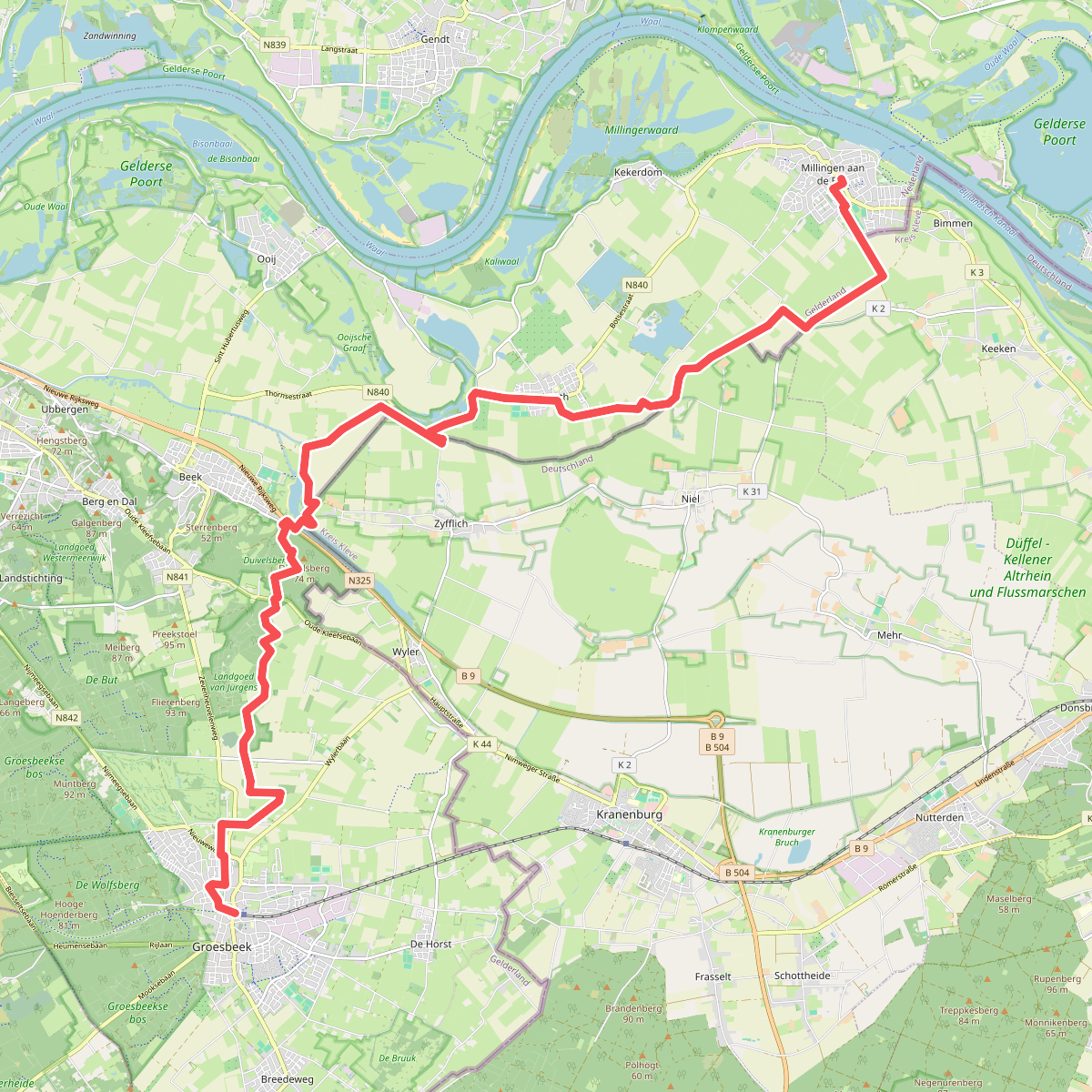
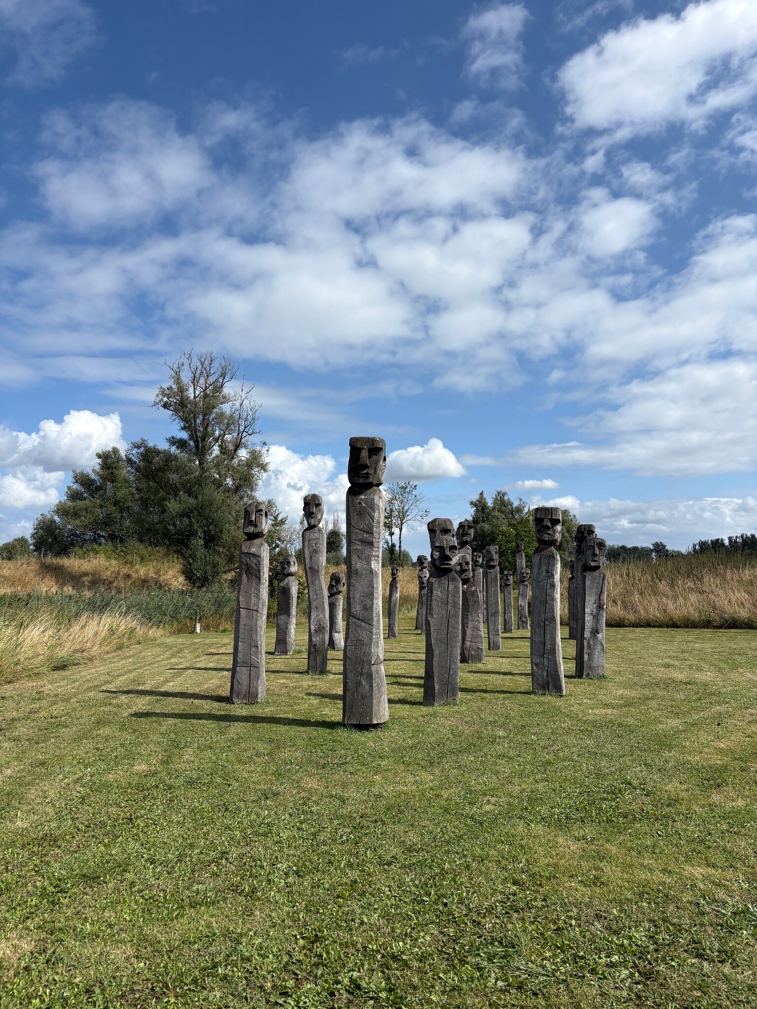
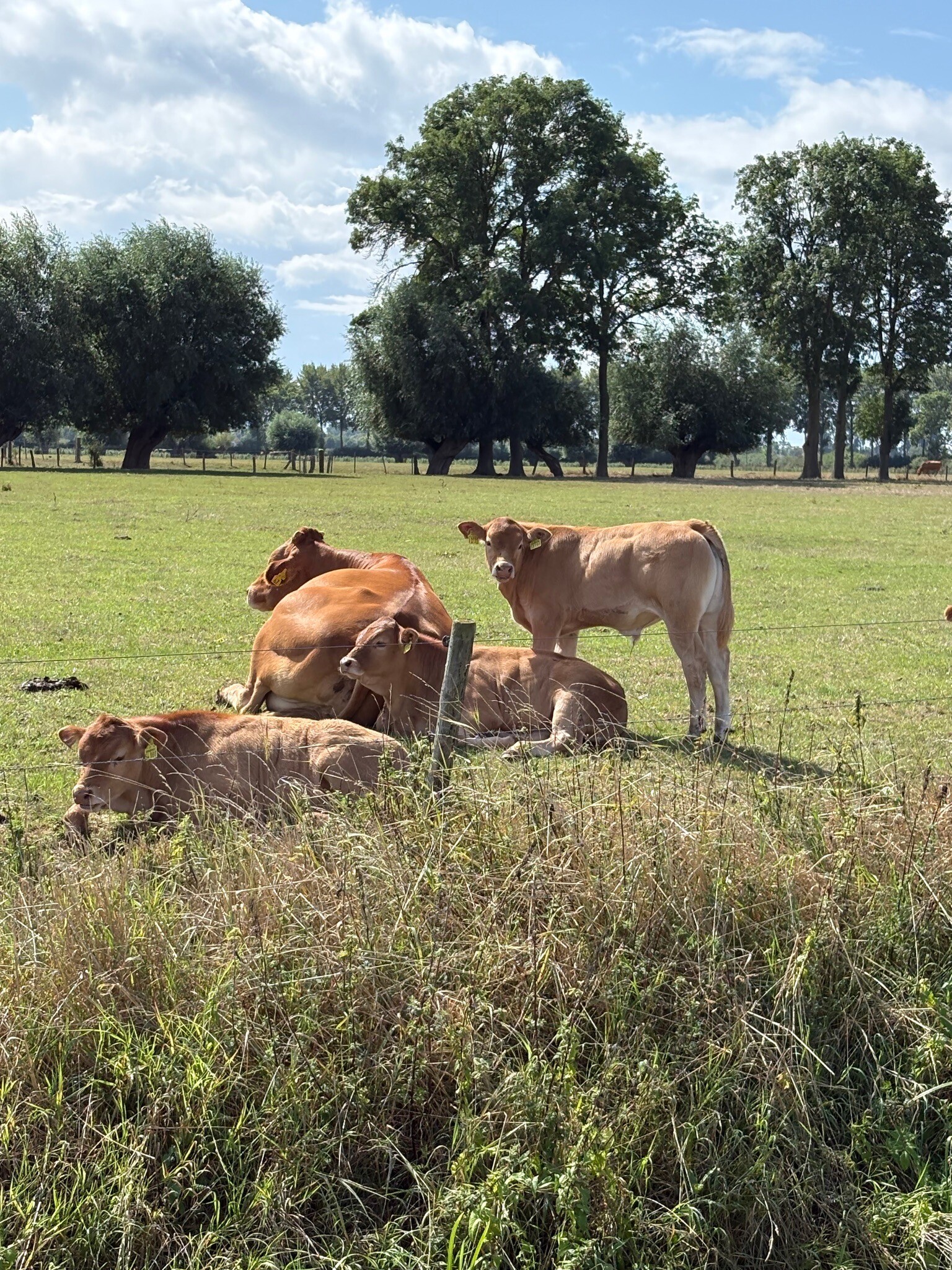
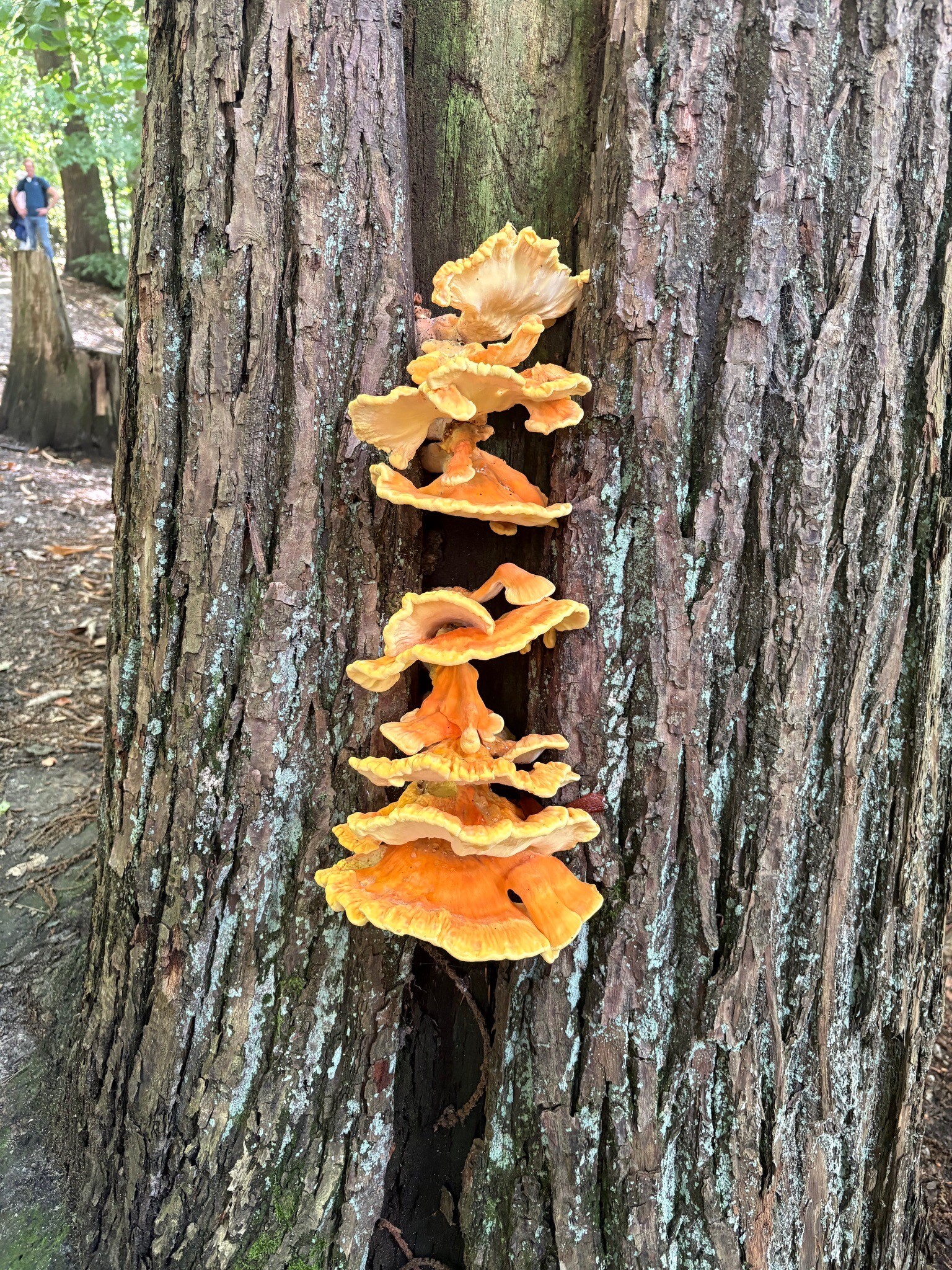
#1. Millingen - Groesbeek · Pieterpad etappe 17
Millingen aan de Rijn,Leuth,Beek,Berg en Dal,Groesbeek
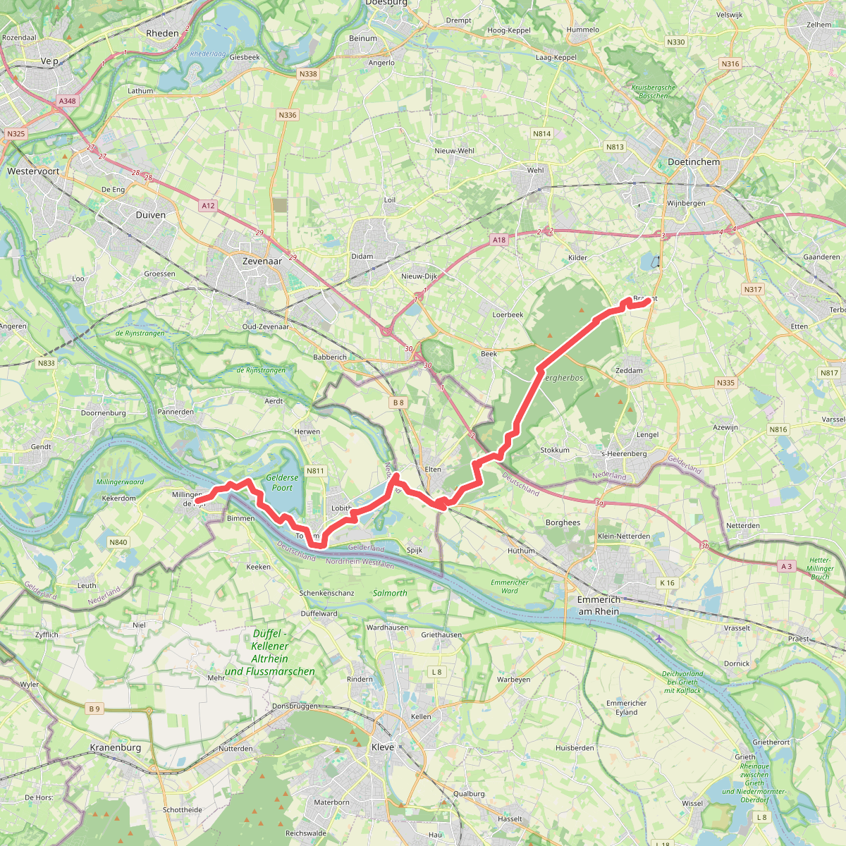
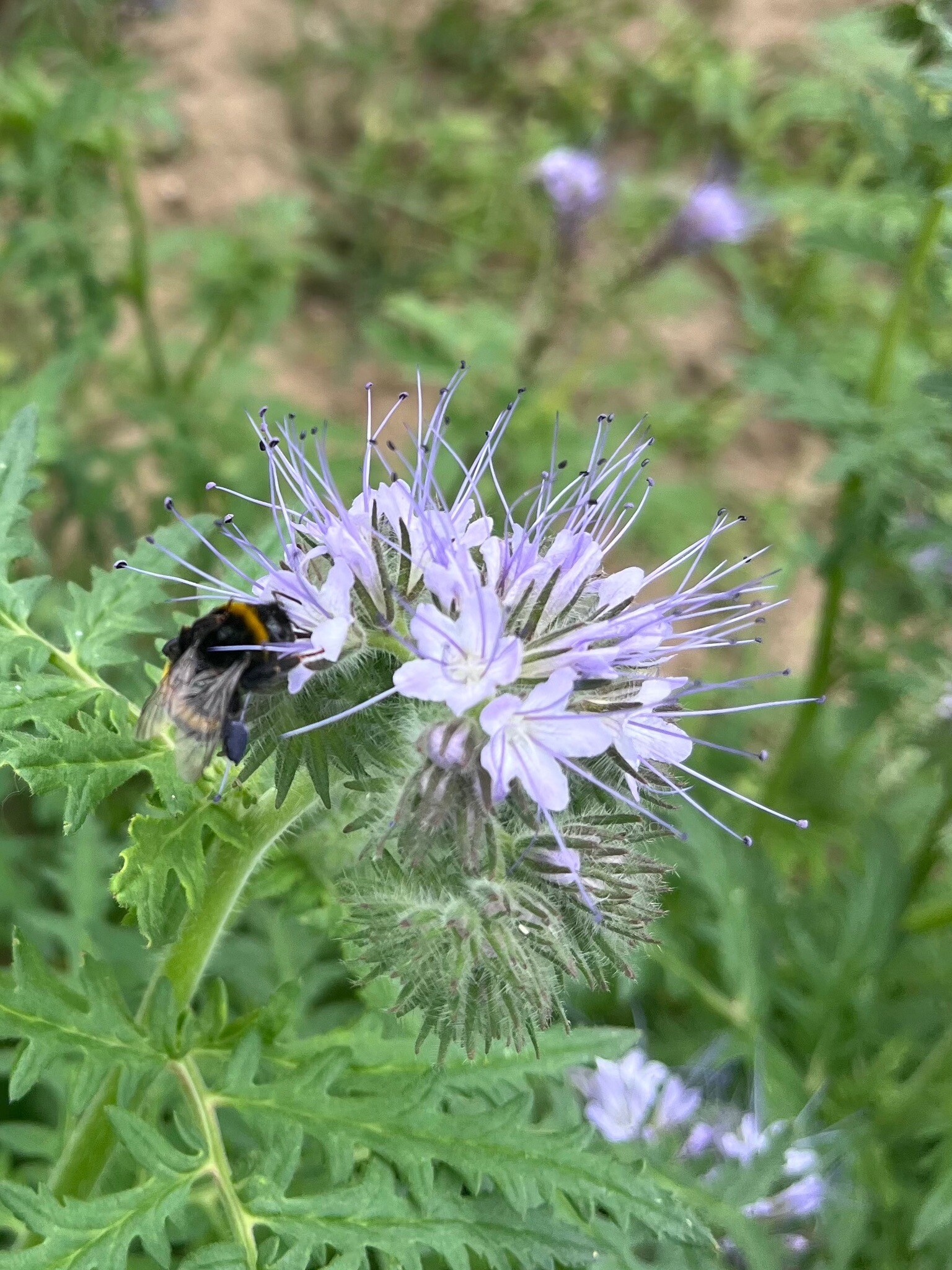
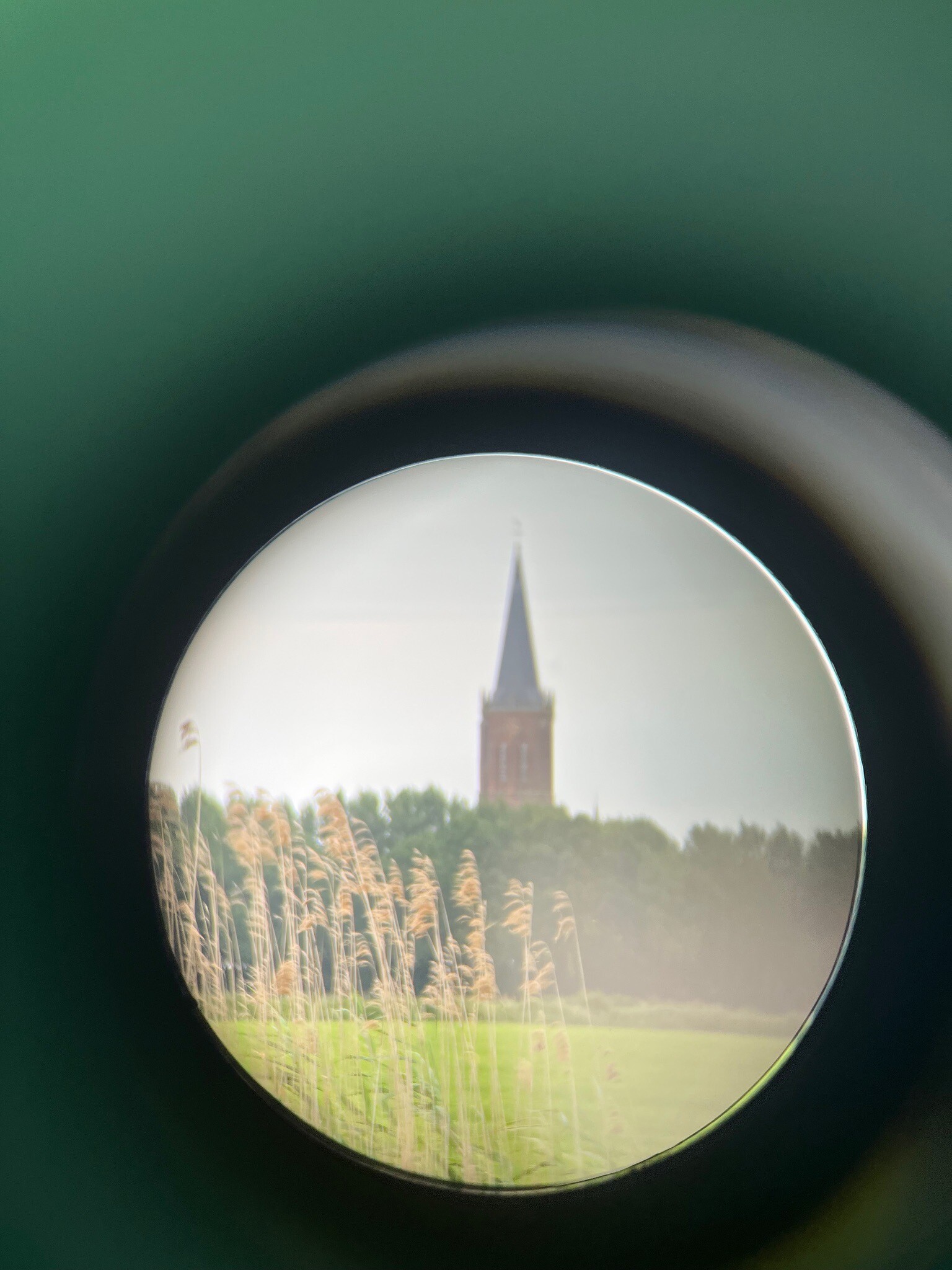
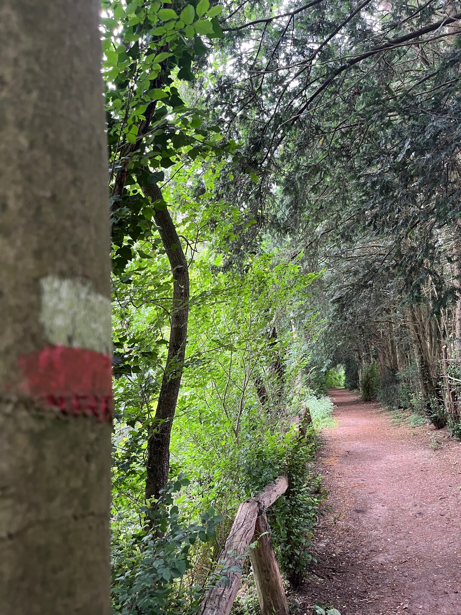
#2. Braamt - Millingen · Pieterpad etappe 16
Braamt,Beek,Stokkum,Spijk,Lobith,Tolkamer,Millingen aan de Rijn
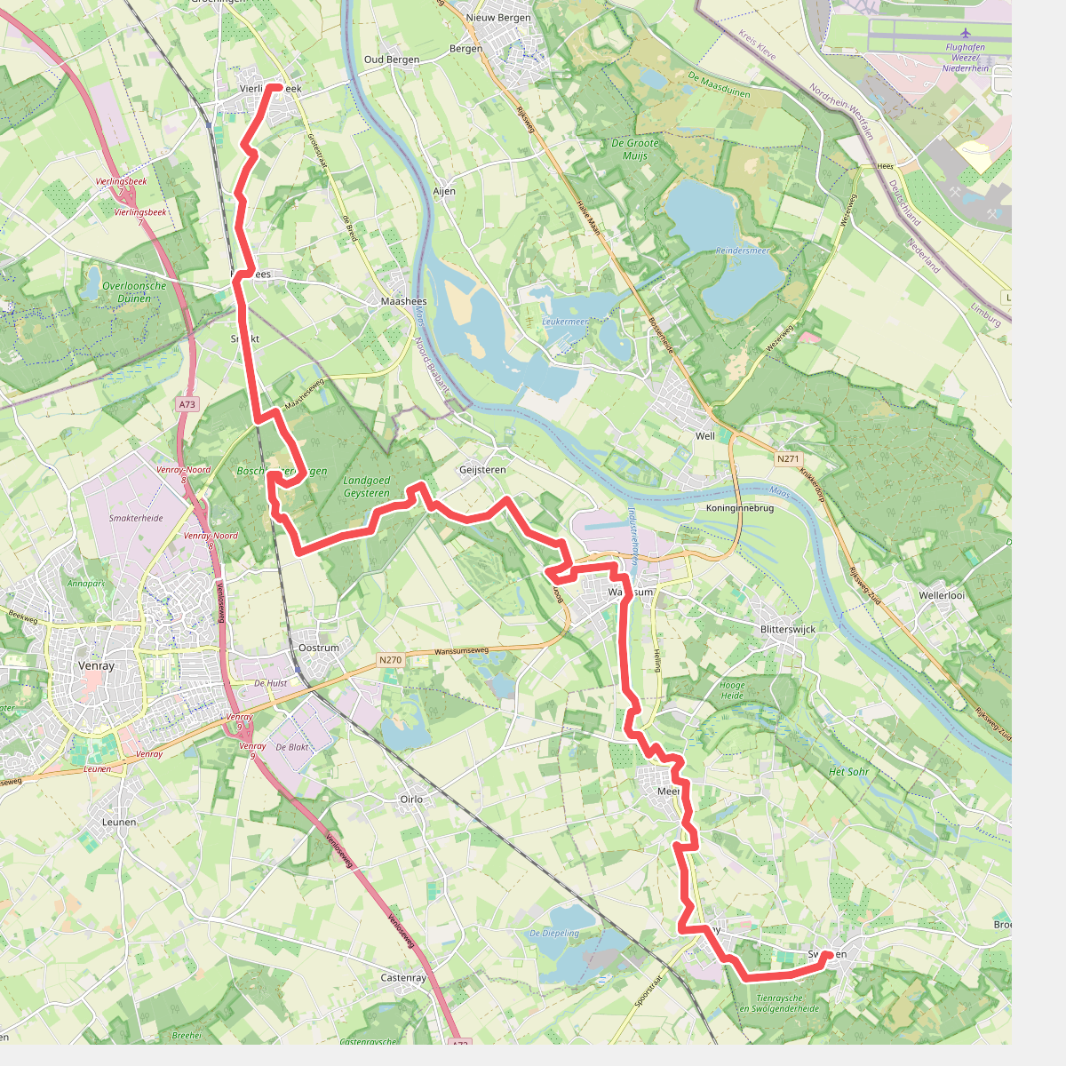
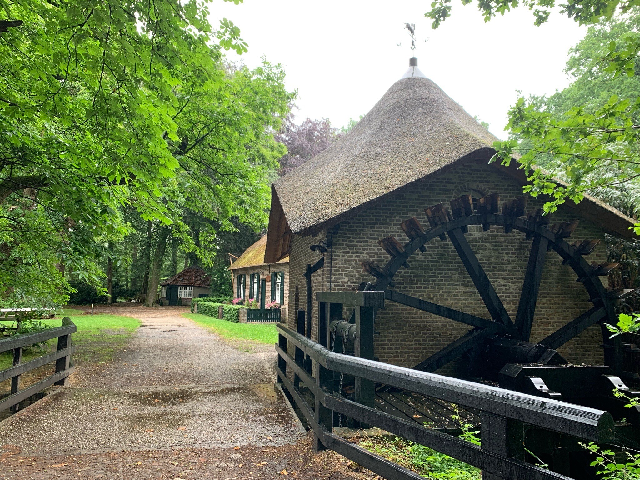
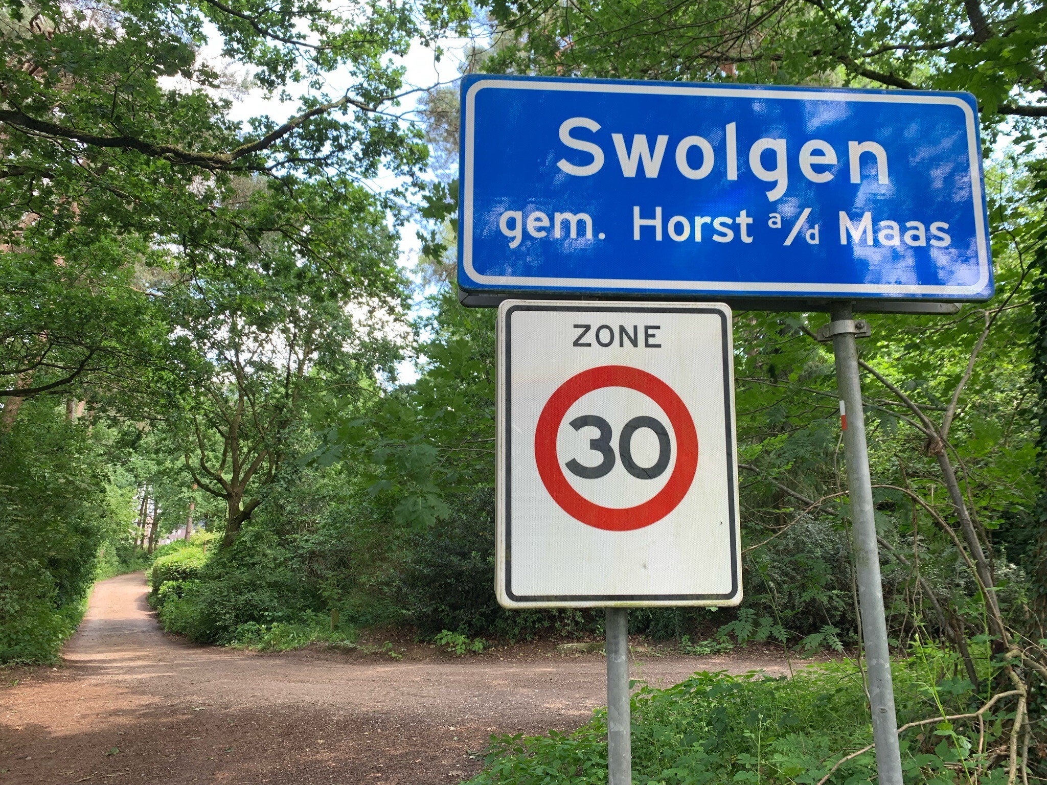
#3. Vierlingsbeek - Swolgen · Pieterpad etappe 20
Vierlingsbeek,Holthees,Smakt,Oostrum,Geijsteren,Wanssum,Meerlo,Tienray,Melderslo,Swolgen
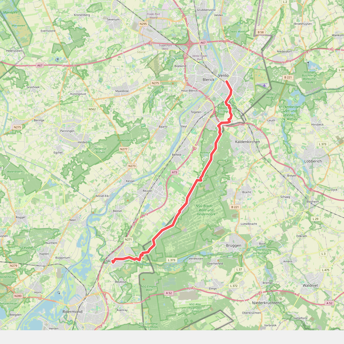
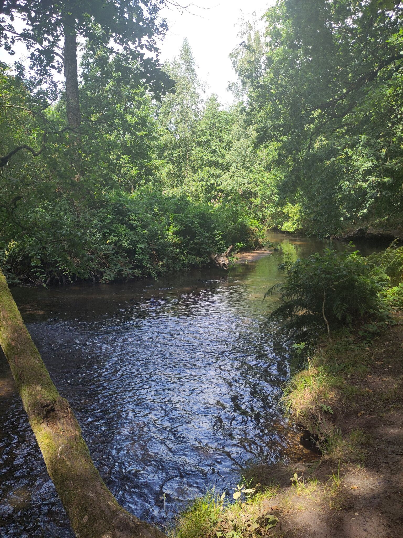
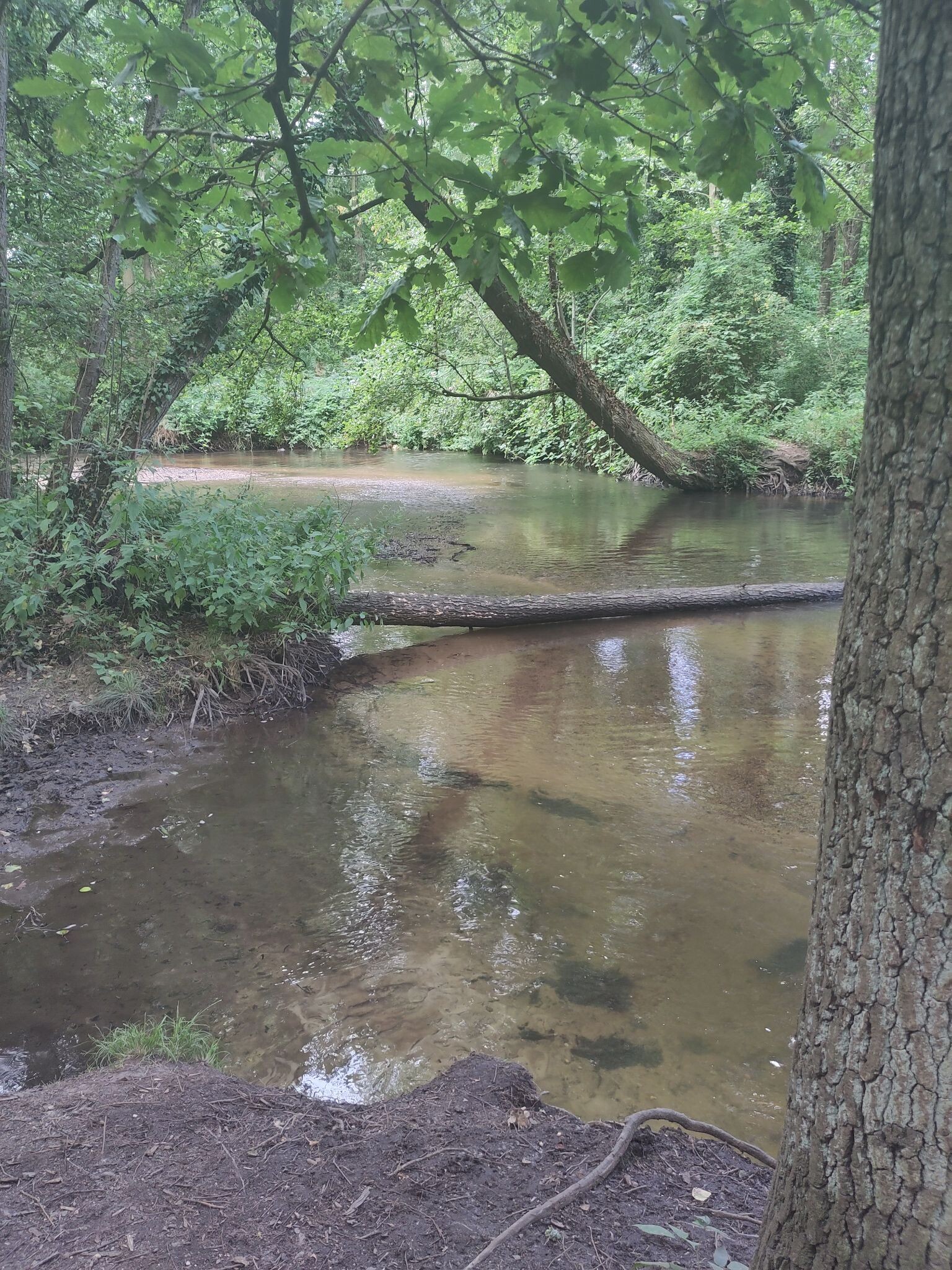
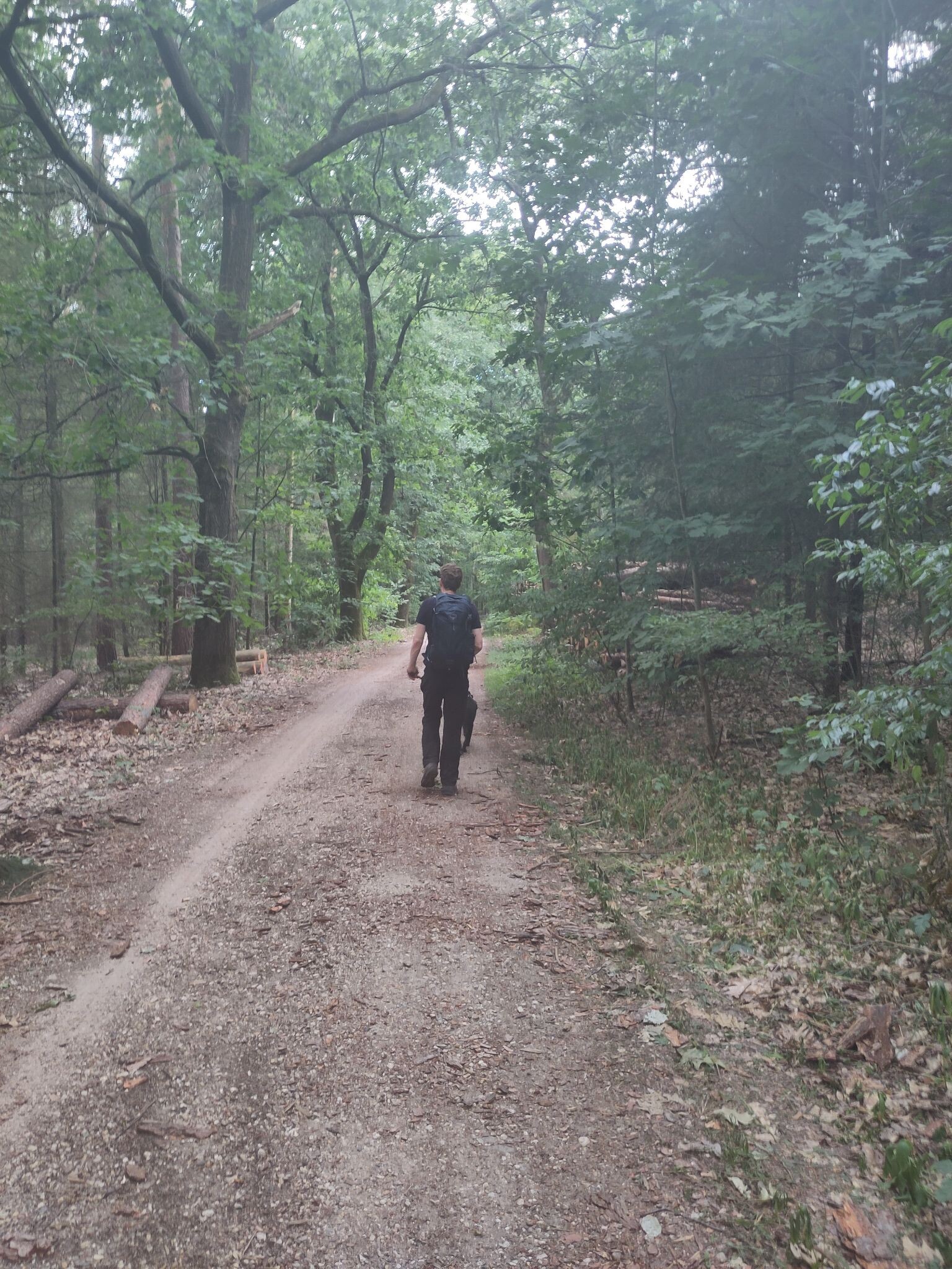
#4. Venlo - Swalmen · Pieterpad etappe 22
Venlo,Tegelen,Belfeld,Reuver,Beesel,Swalmen
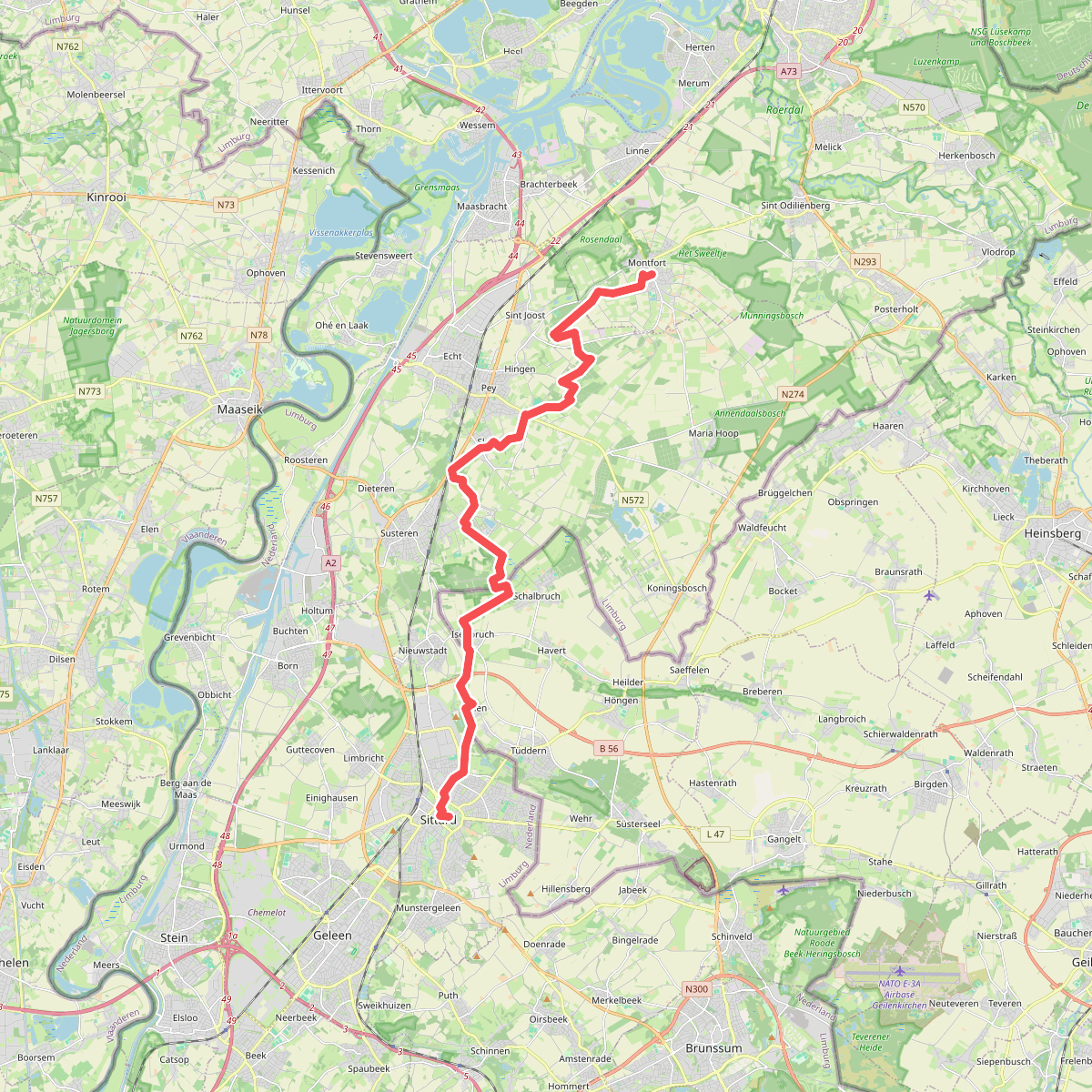
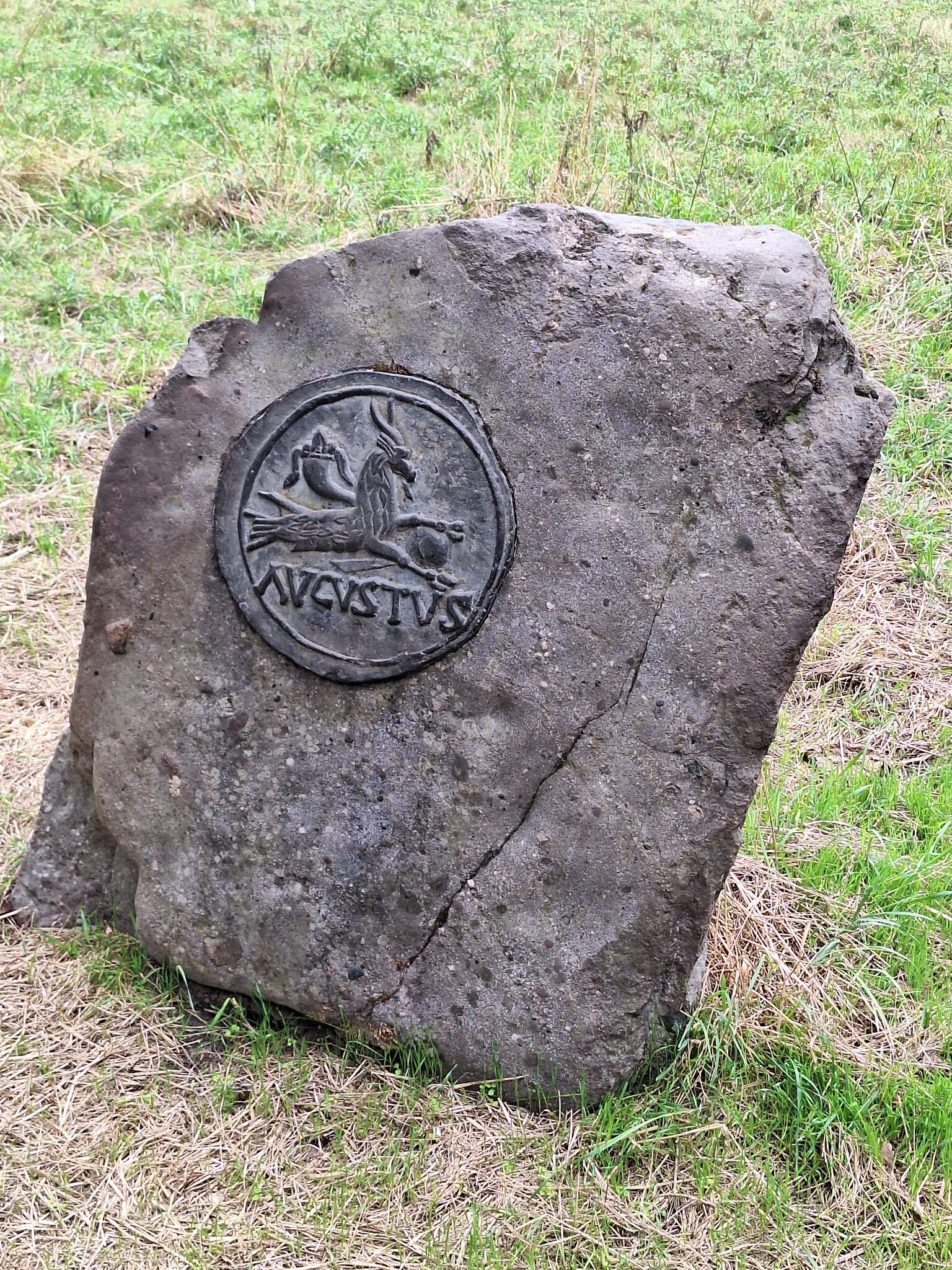
#5. Montfort - Sittard · Pieterpad etappe 24
Montfort,Sint Joost,Echt,Susteren,Nieuwstadt,Sittard
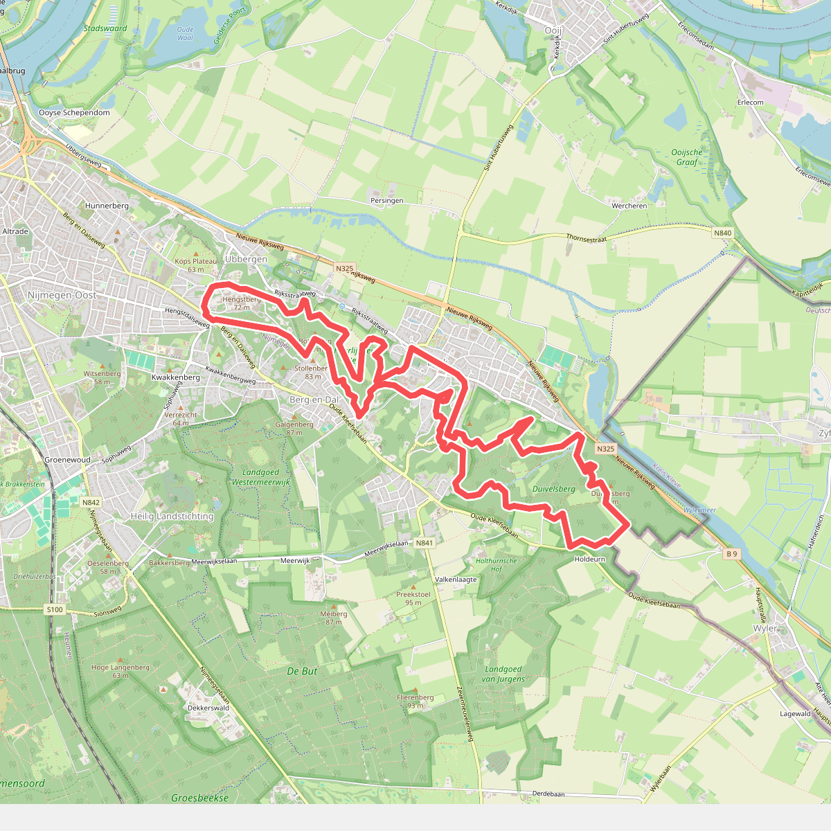
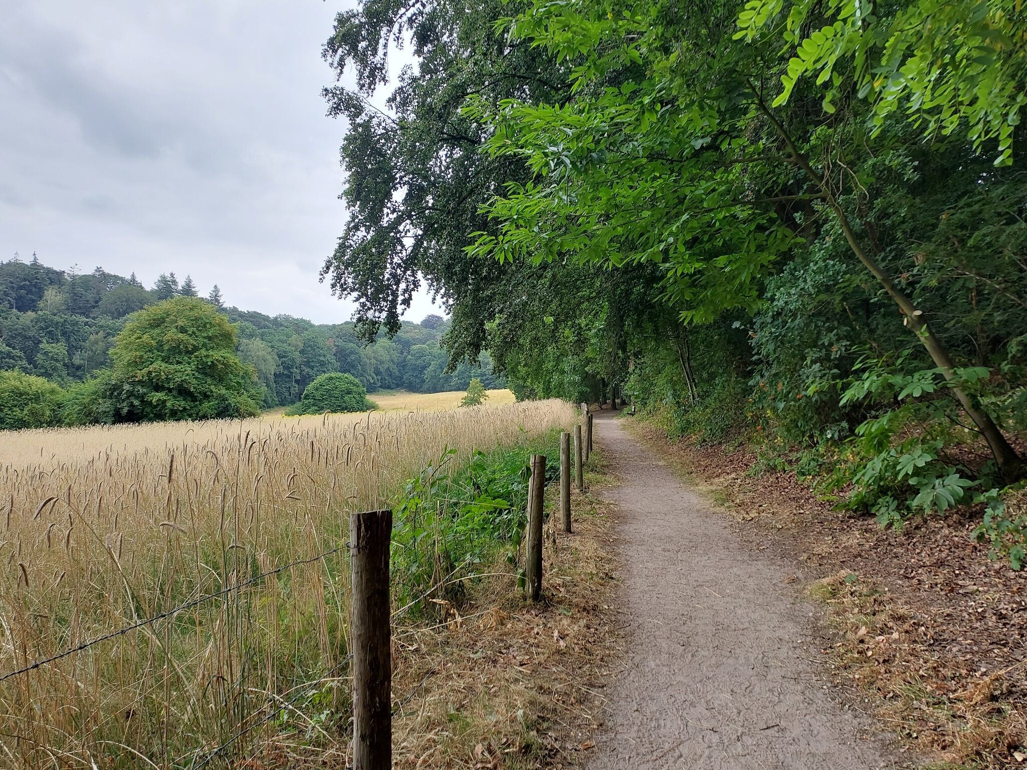
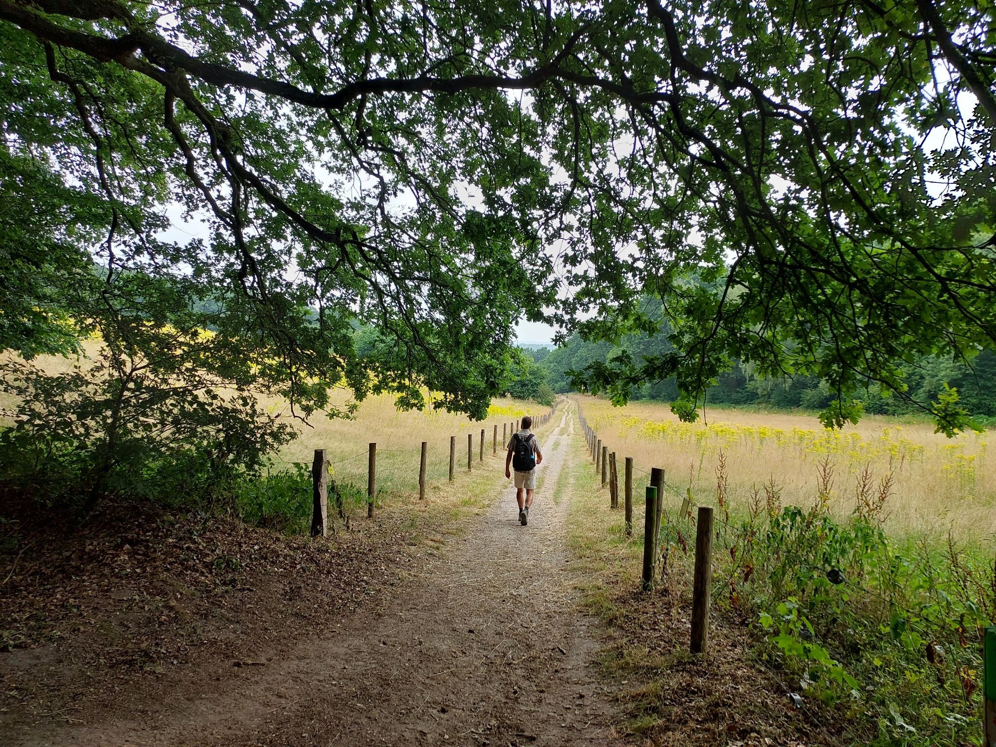
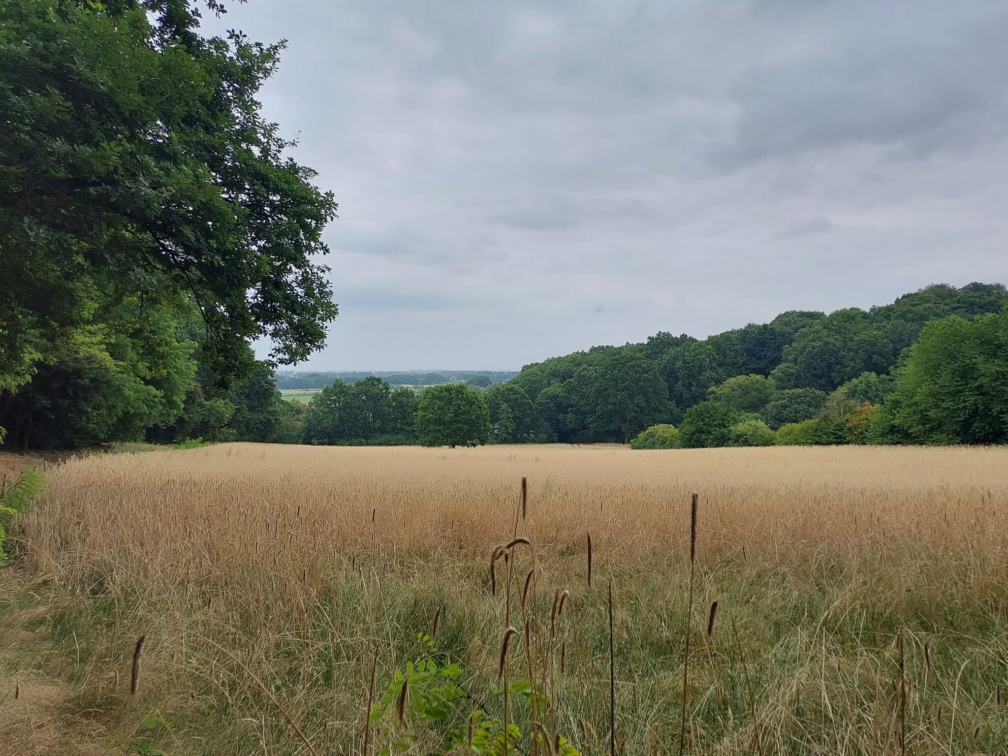
#6. N70 Natuurwandelroute
Berg en Dal,Beek
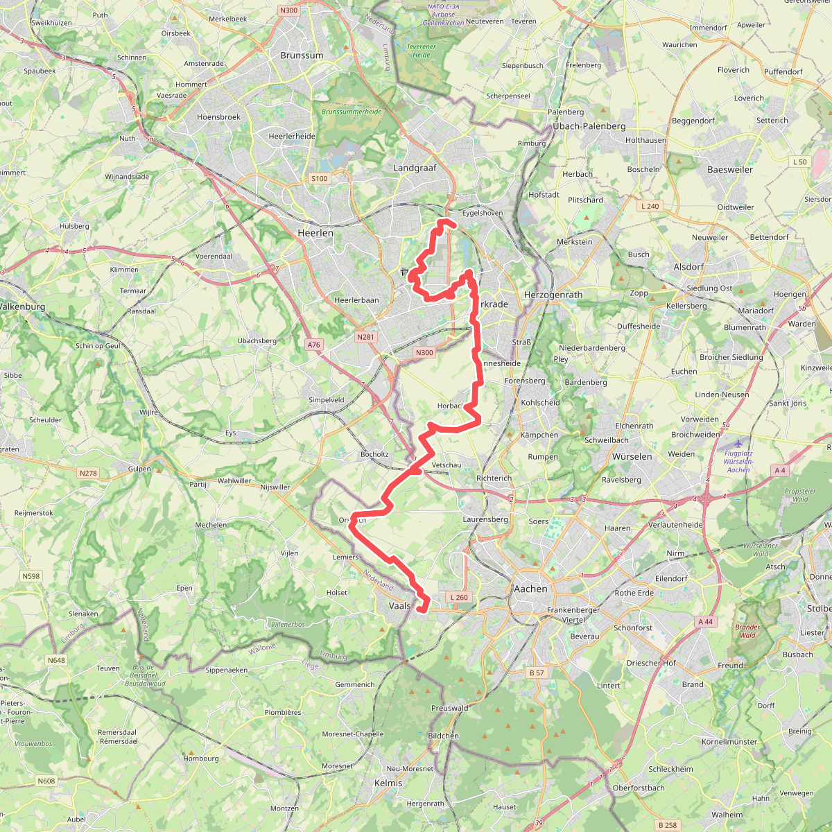
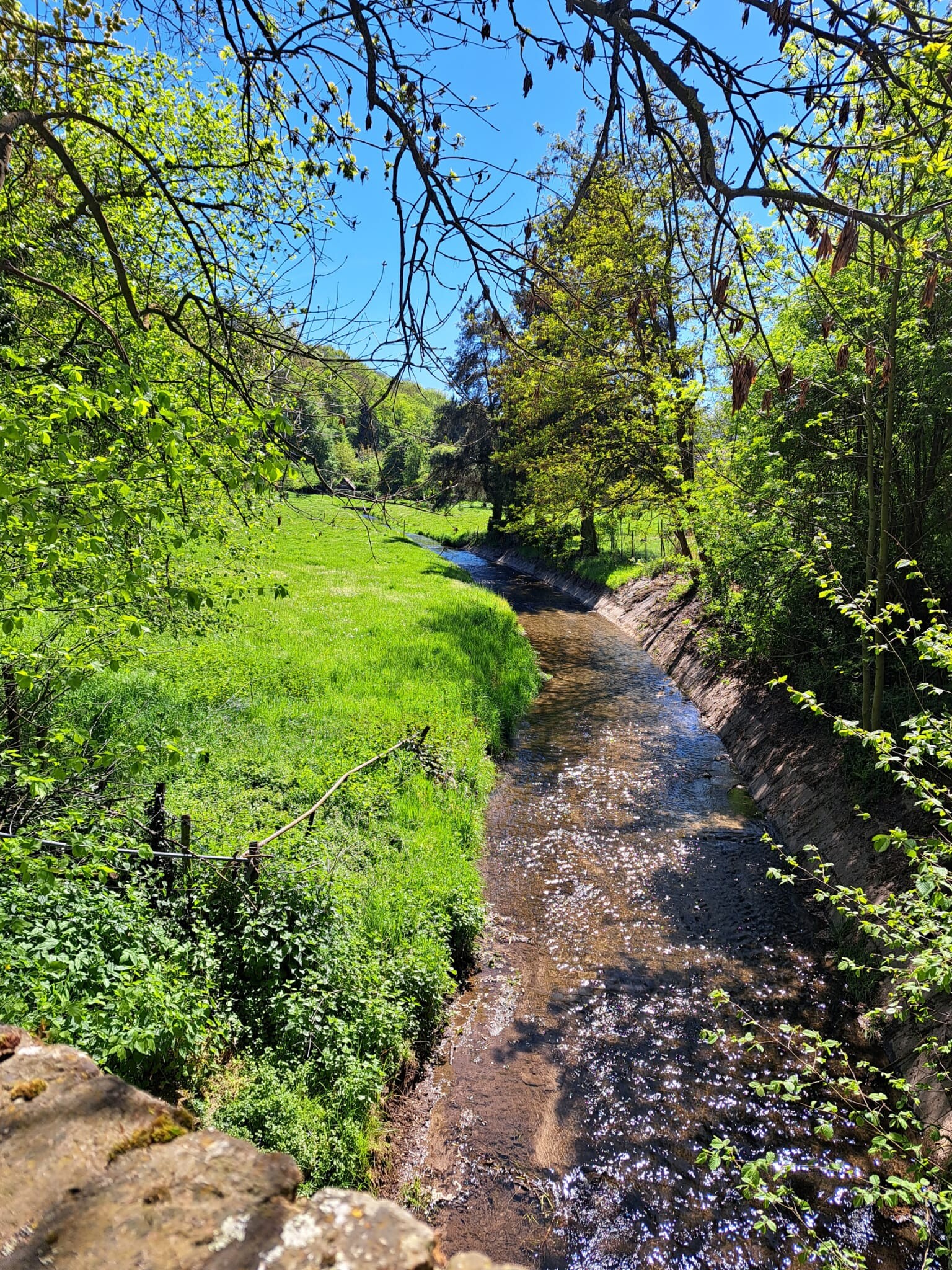
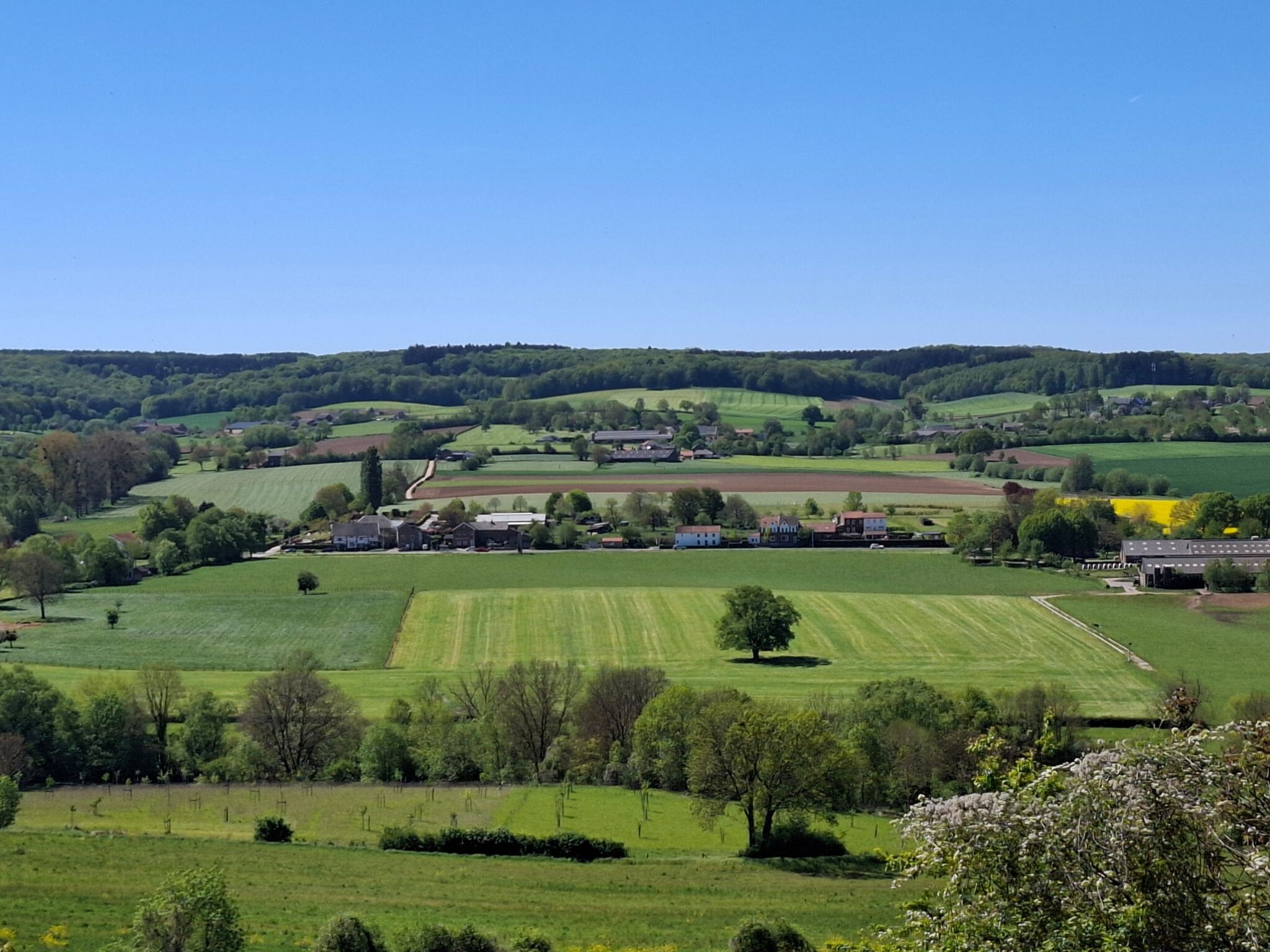
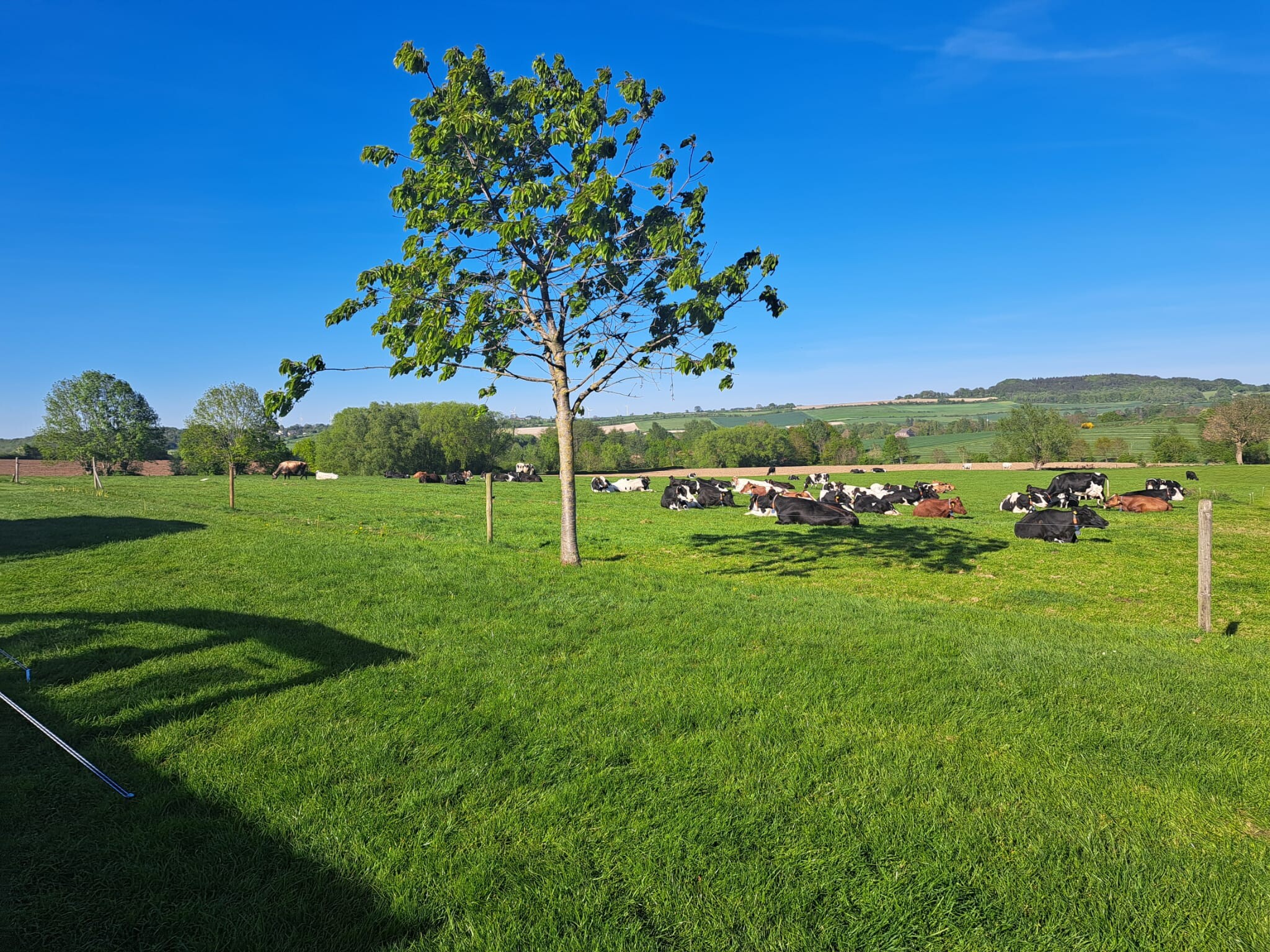
#7. Eygelshoven - Vaals · Dutch Mountain Trail etappe 1
Vaals,Lemiers,Bocholtz,Heerlen,Kerkrade,Landgraaf
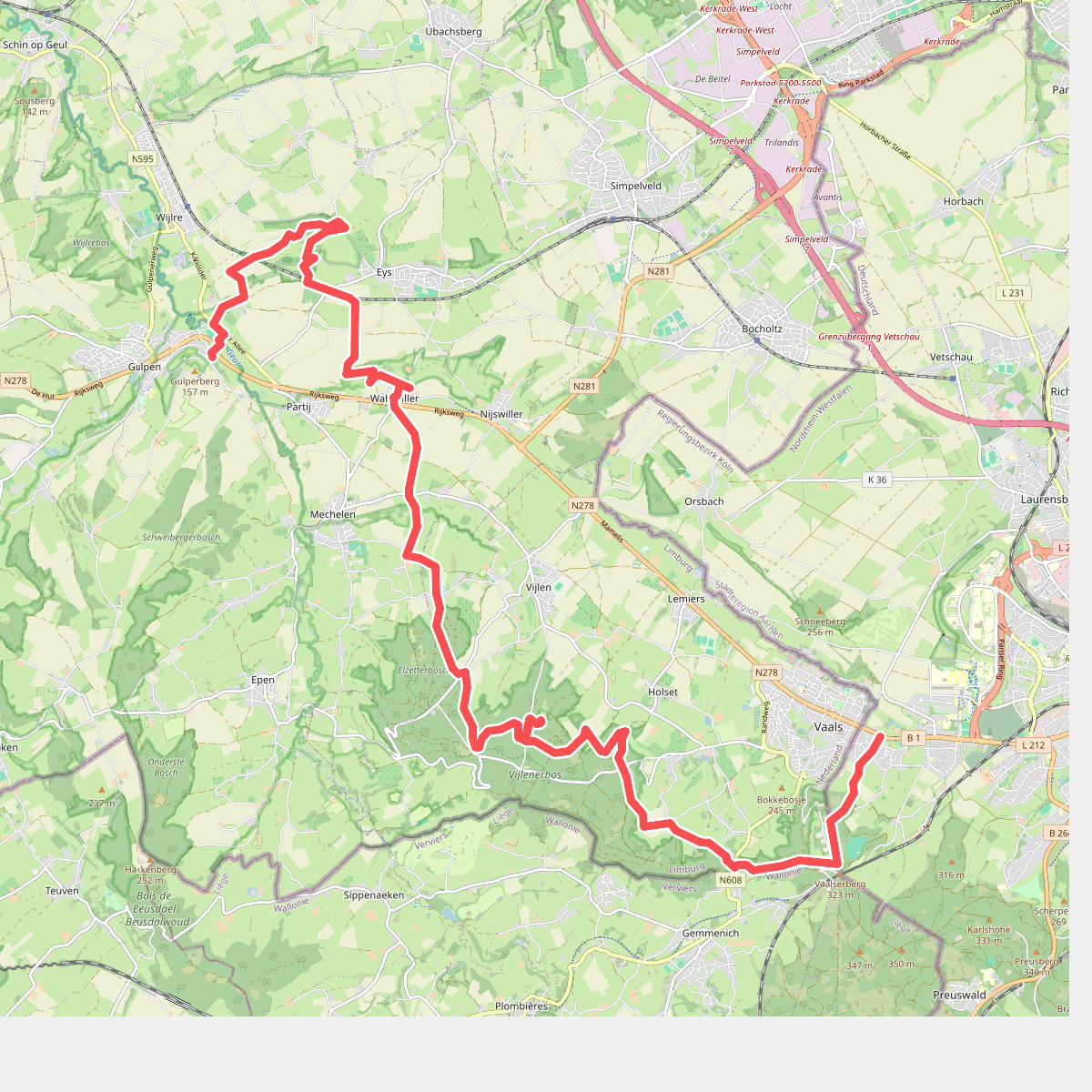
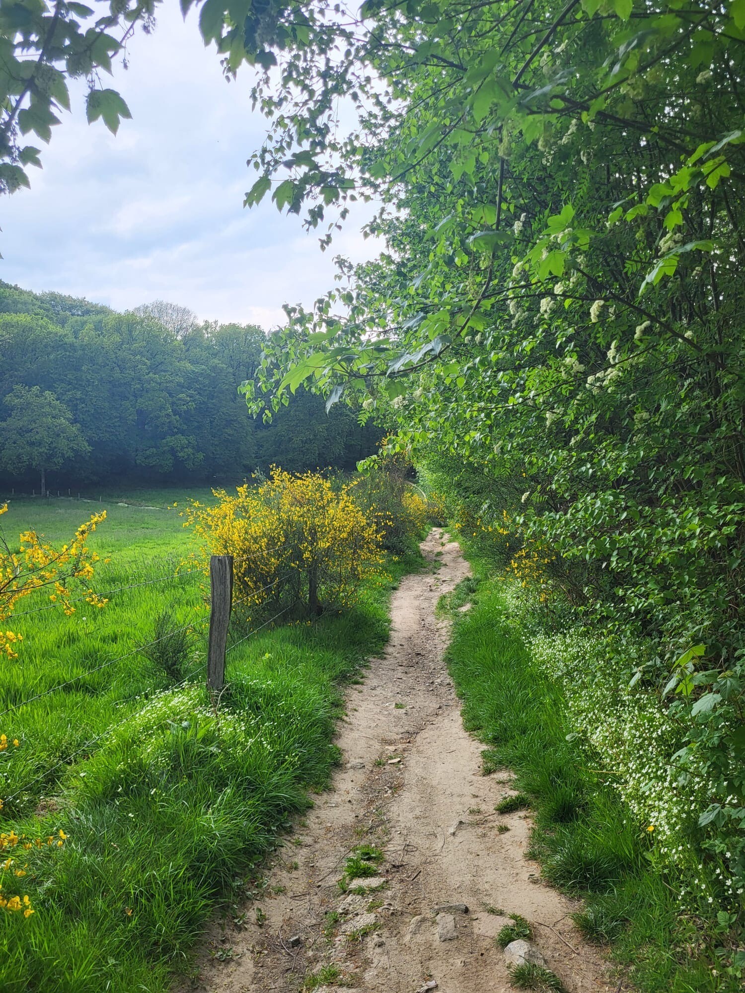
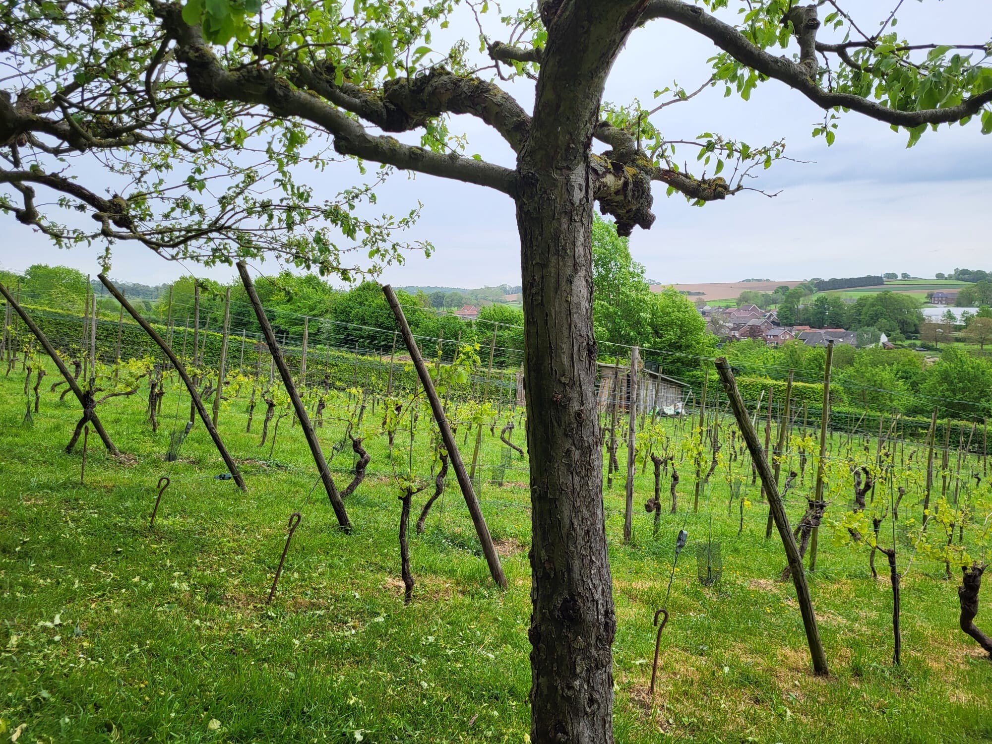
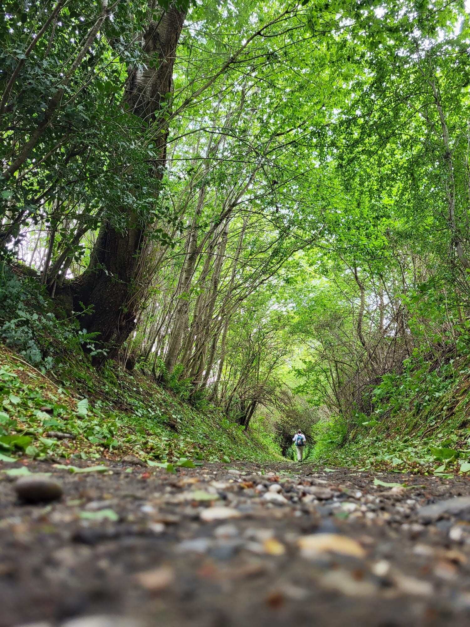
#8. Vaals - Gulpen · Dutch Mountain Trail etappe 2
Gulpen,Wijlre,Eys,Wittem,Mechelen,Vijlen,Vaals
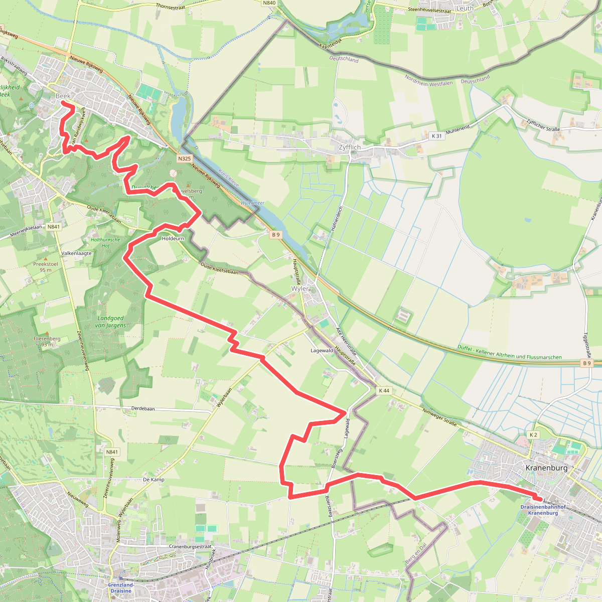
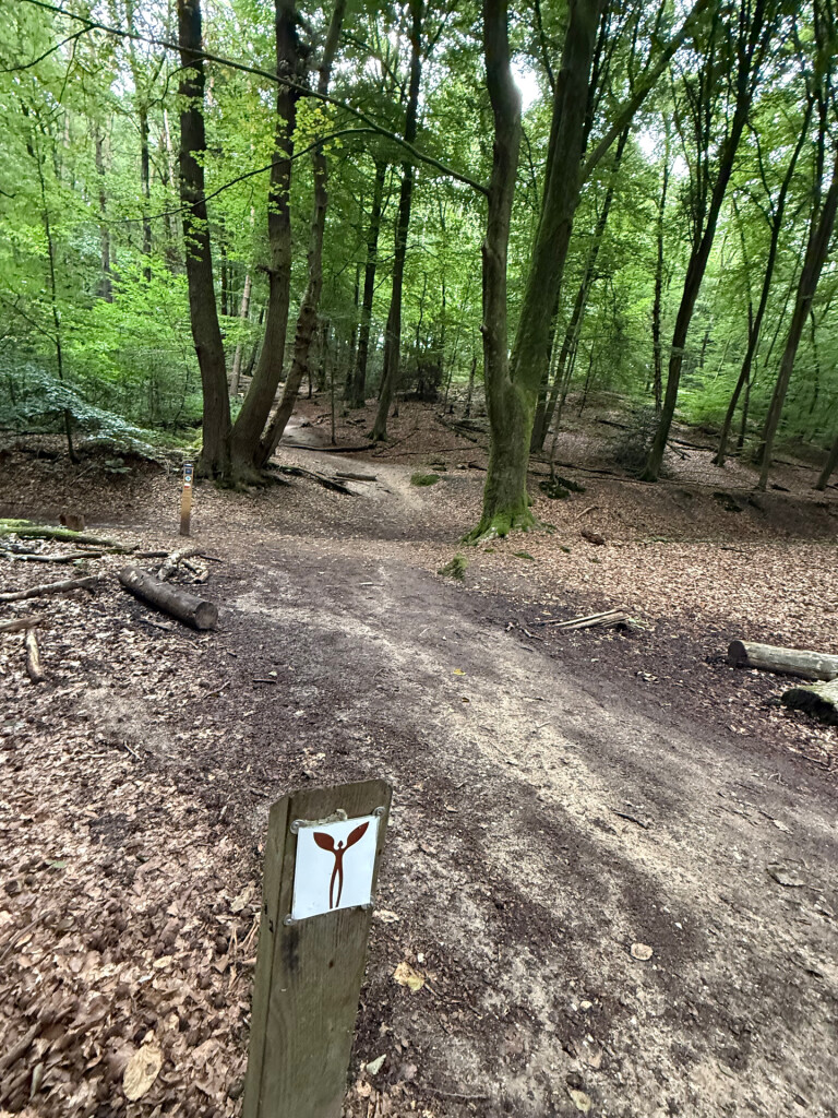
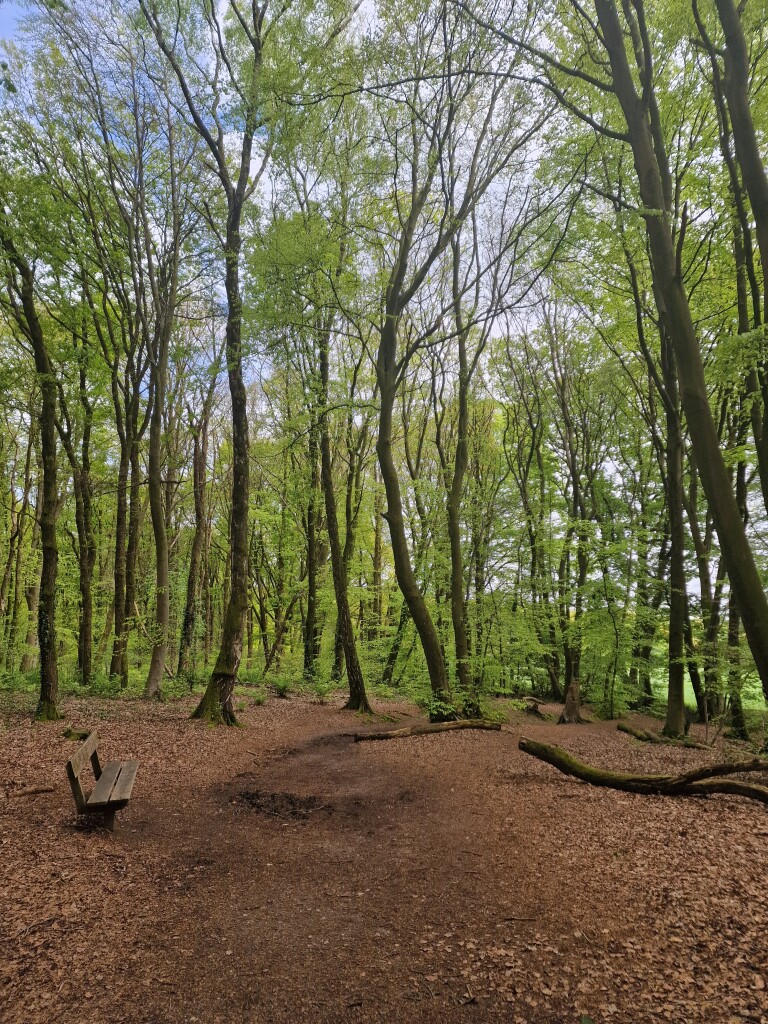
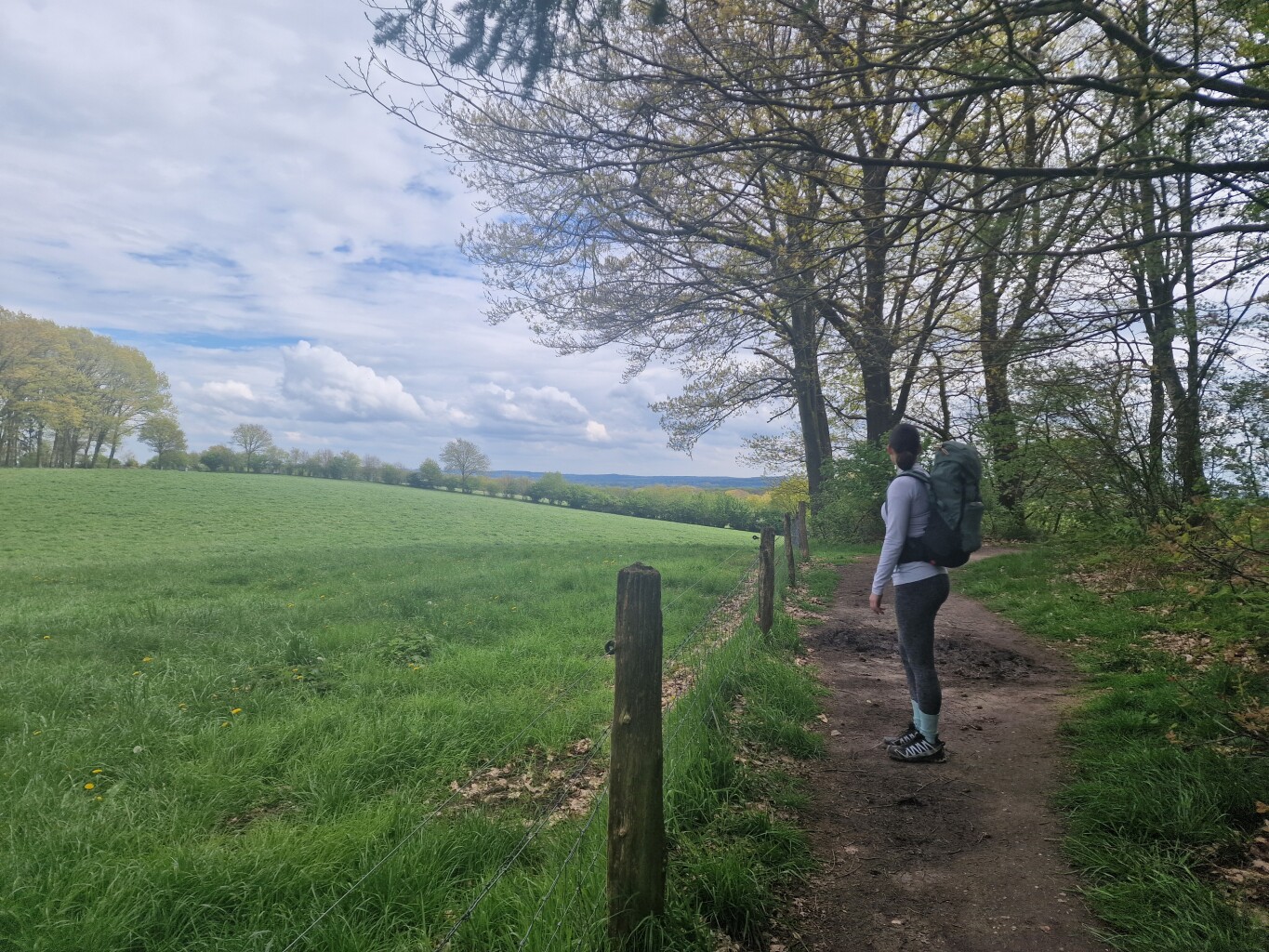
#9. Beek - Kranenburg (D) · Walk of Wisdom etappe 2
Groesbeek,Berg en Dal
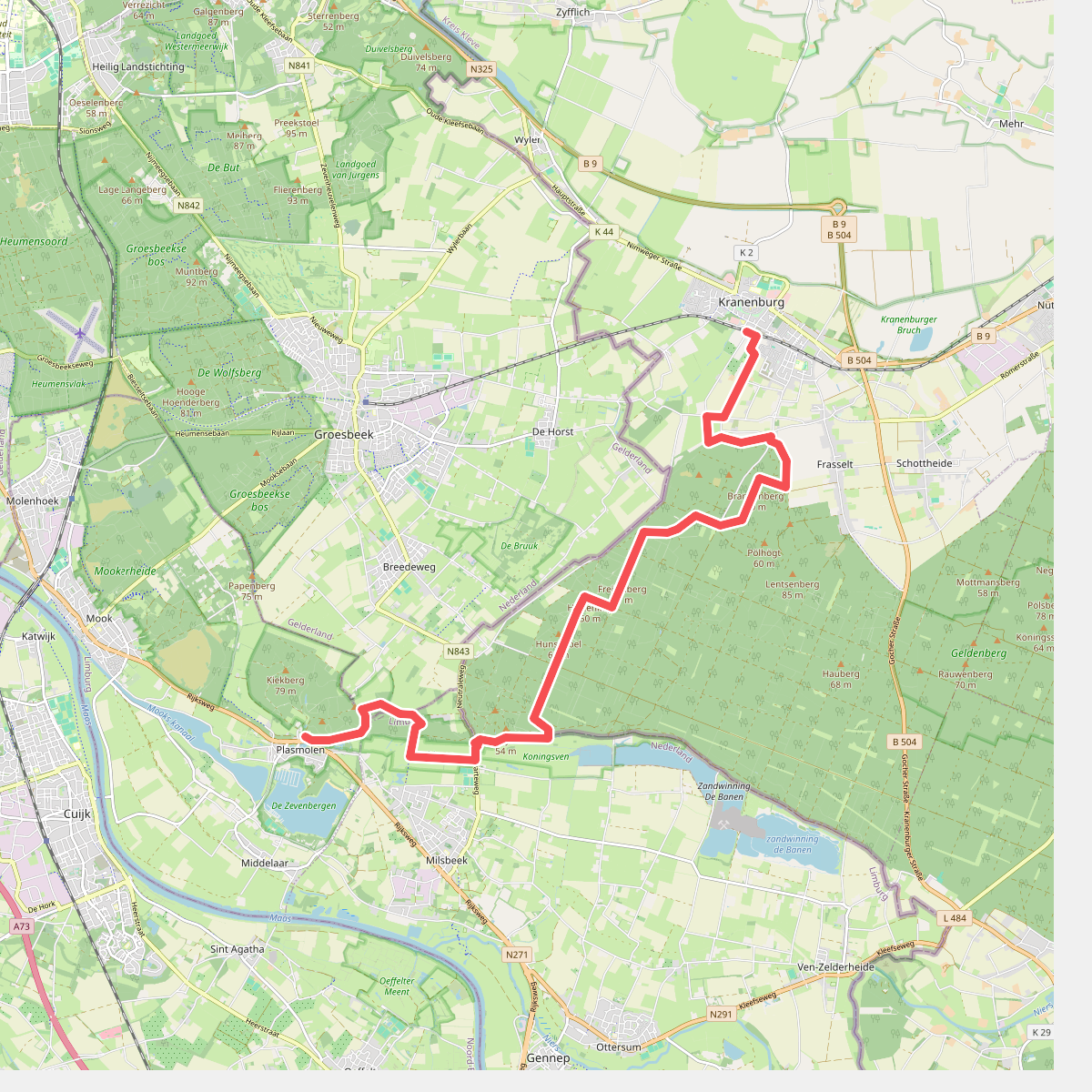
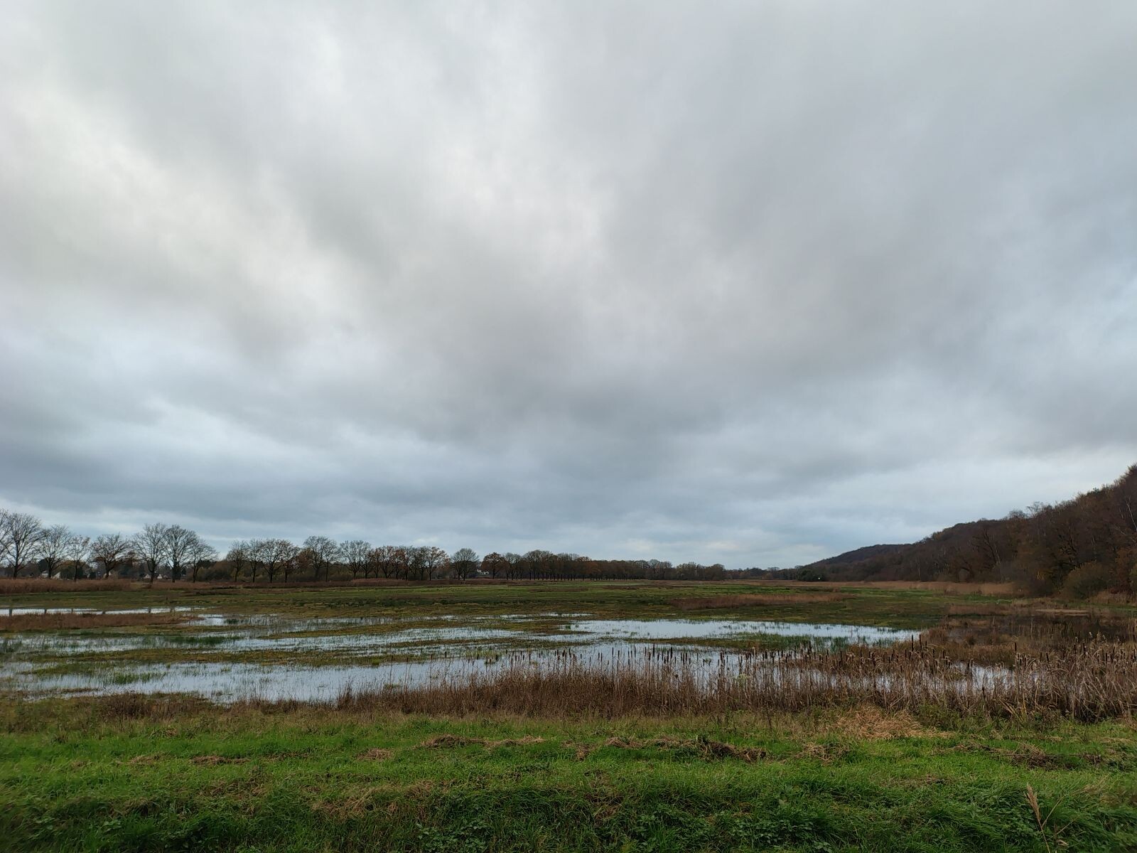
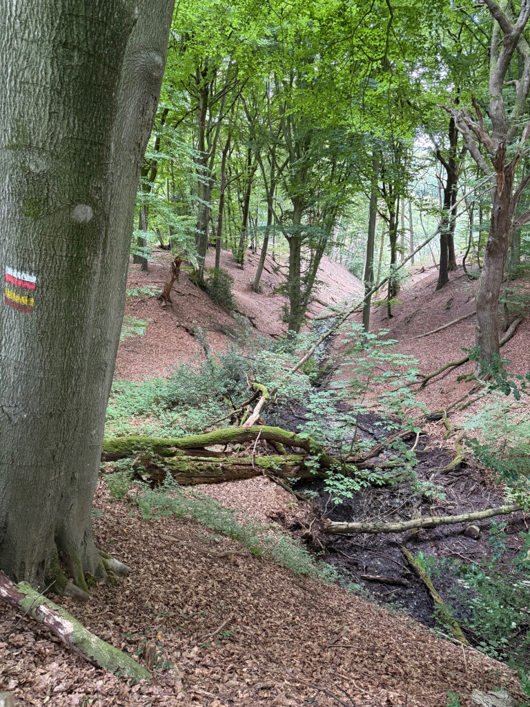
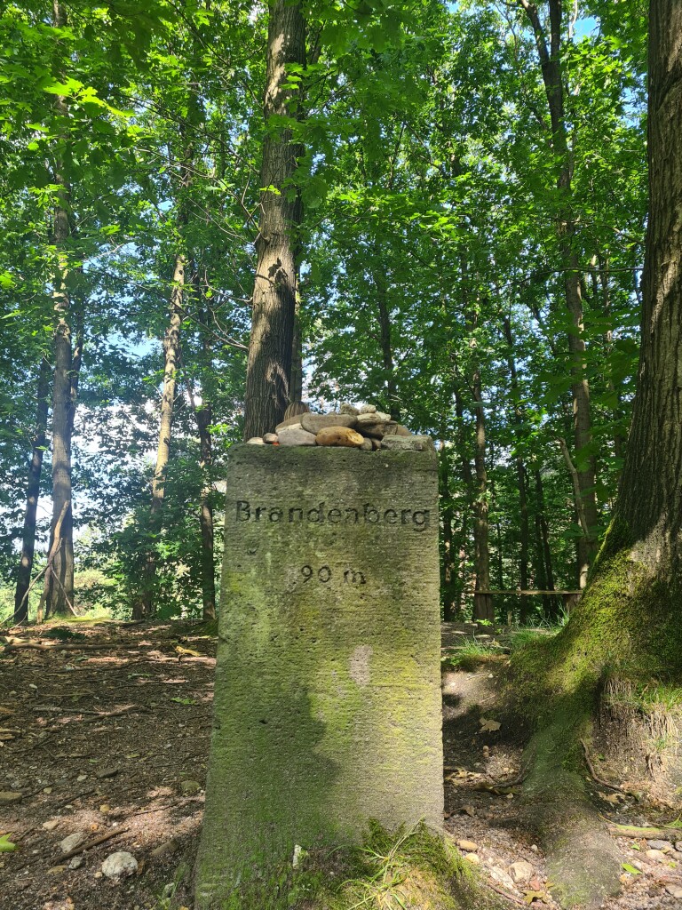
#10. Kranenburg (D) - Plasmolen · Walk of Wisdom etappe 3
Groesbeek,Milsbeek,Ottersum
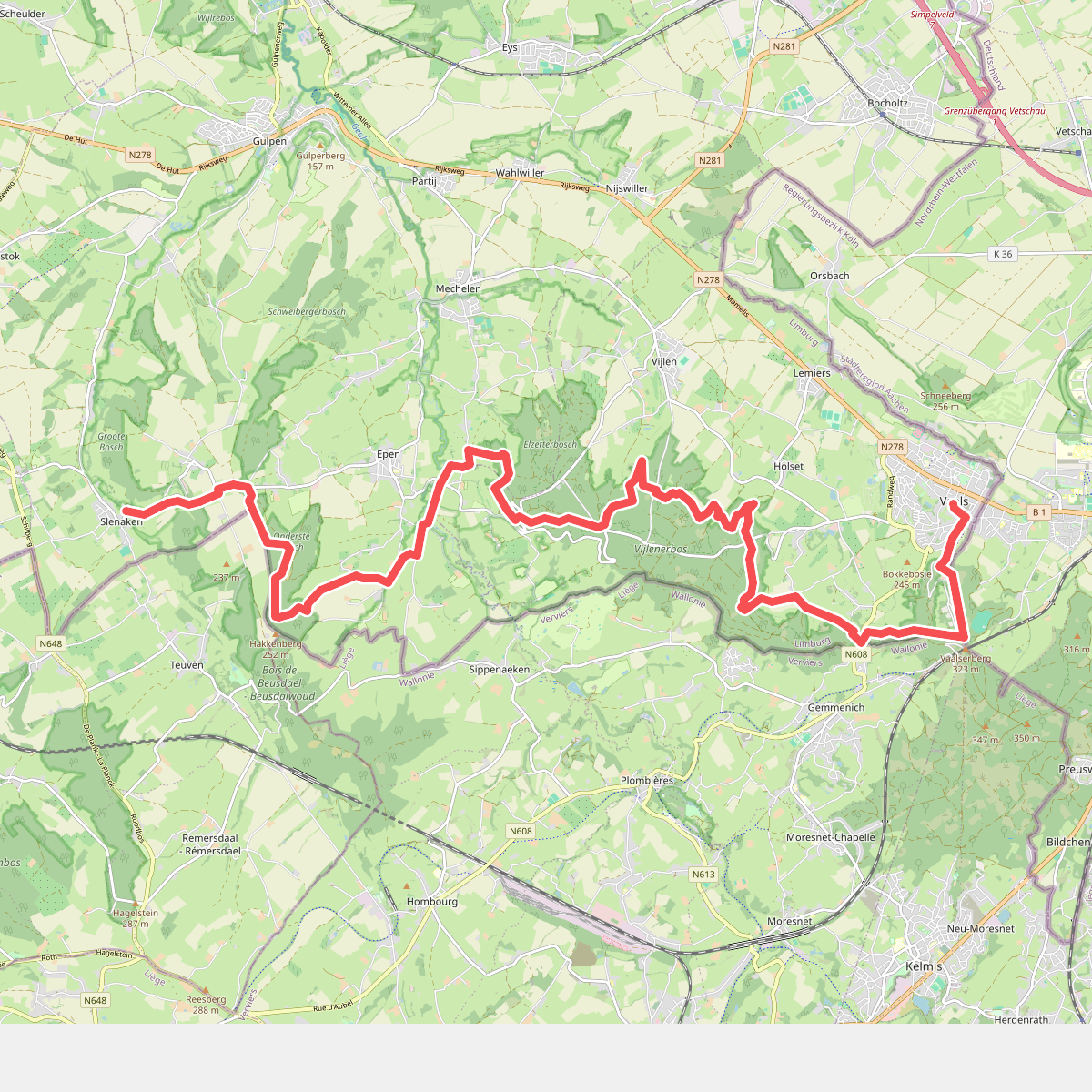
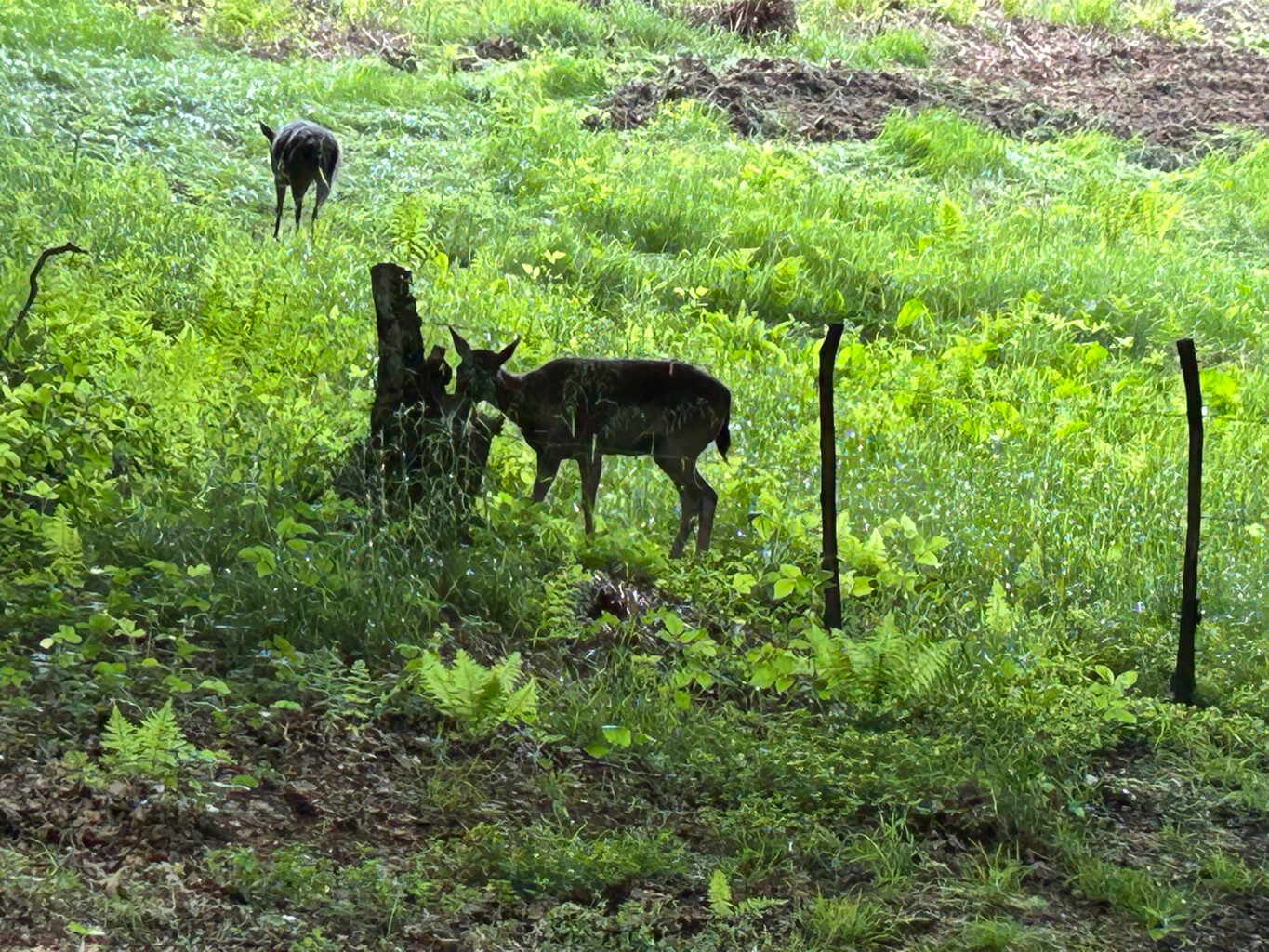
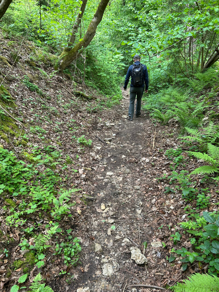
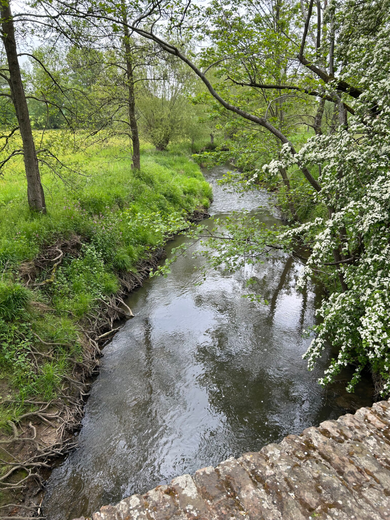
#11. Slenaken - Vaals · Krijtlandpad etappe 3
Vaals,Vijlen,Epen,Mechelen,Heijenrath,Slenaken
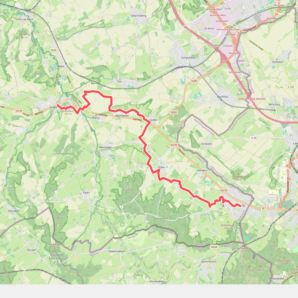
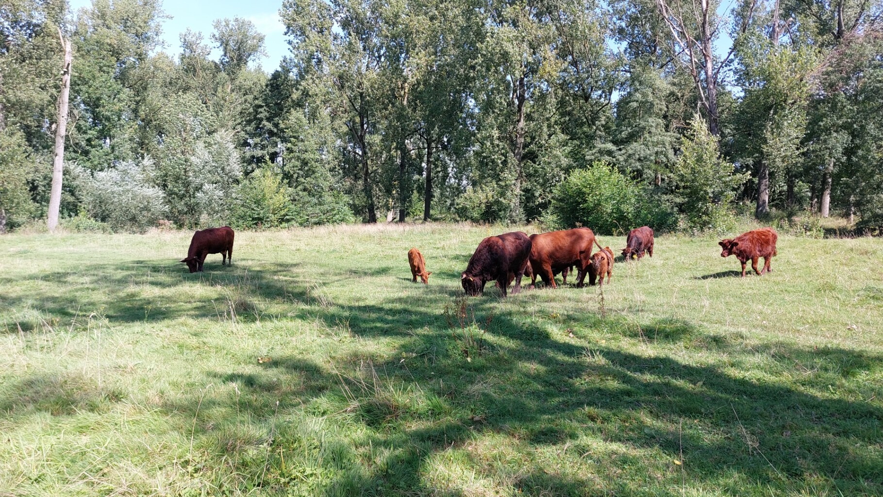
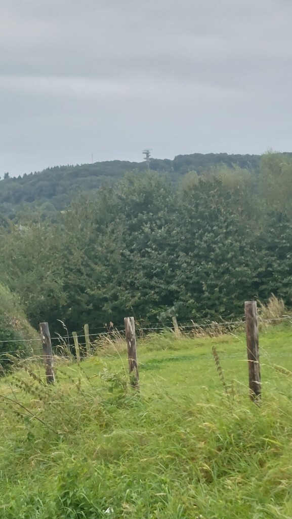
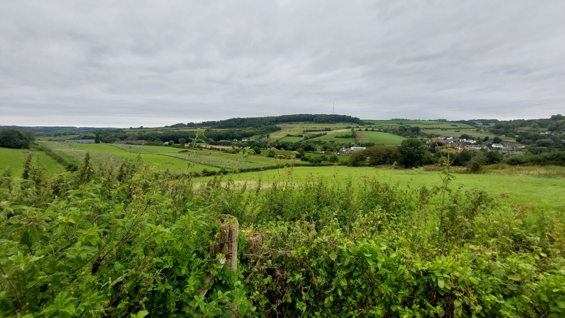
#12. Vaals - Gulpen · Krijtlandpad etappe 4
Gulpen,Eys,Wijlre,Wittem,Mechelen,Vijlen,Vaals



