

The best hiking routes in Nidwalden
Discover the best walks in Nidwalden. 51 routes on the map, with descriptions, photos and GPX.
About Nidwalden
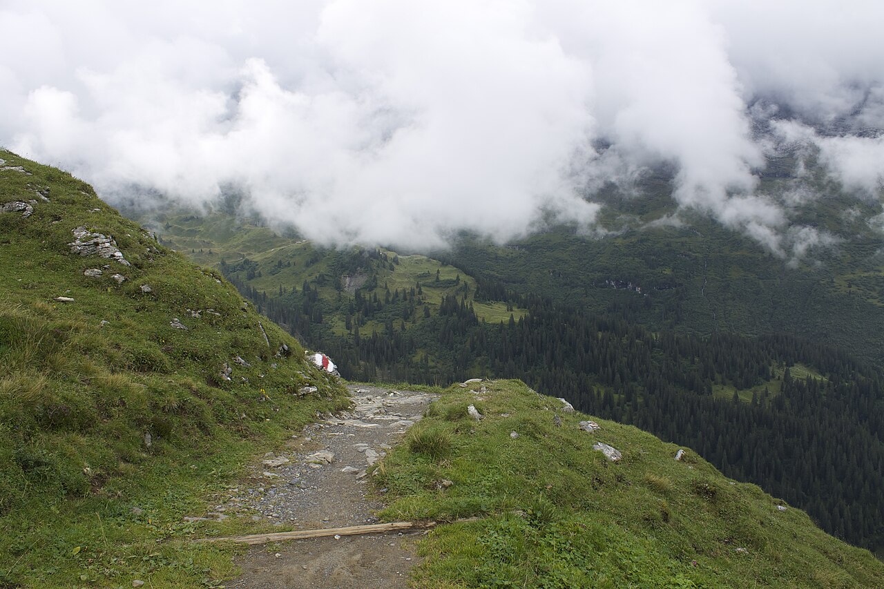
Nidwalden is defined by the dramatic transition from the deep waters of Lake Lucerne to the steep limestone cliffs that rise abruptly from the valley floors. Walkers here must choose between two distinct landscapes: the lower, sun-exposed lakeside terraces with their orchards and paved paths, or the high alpine pastures accessible mainly by small, local cable cars. This is not a region of gentle, rolling hills or vast, flat plains; the terrain is consistently steep, and even the lower forest trails require steady footwork over exposed tree roots and loose gravel.
Read more
About Nidwalden
Nidwalden is defined by the dramatic transition from the deep waters of Lake Lucerne to the steep limestone cliffs that rise abruptly from the valley floors. Walkers here must choose between two distinct landscapes: the lower, sun-exposed lakeside terraces with their orchards and paved paths, or the high alpine pastures accessible mainly by small, local cable cars. This is not a region of gentle, rolling hills or vast, flat plains; the terrain is consistently steep, and even the lower forest trails require steady footwork over exposed tree roots and loose gravel.
Read moreNidwalden is defined by the dramatic transition from the deep waters of Lake Lucerne to the steep limestone cliffs that rise abruptly from the valley floors. Walkers here must choose between two distinct landscapes: the lower, sun-exposed lakeside terraces with their orchards and paved paths, or the high alpine pastures accessible mainly by small, local cable cars. This is not a region of gentle, rolling hills or vast, flat plains; the terrain is consistently steep, and even the lower forest trails require steady footwork over exposed tree roots and loose gravel.
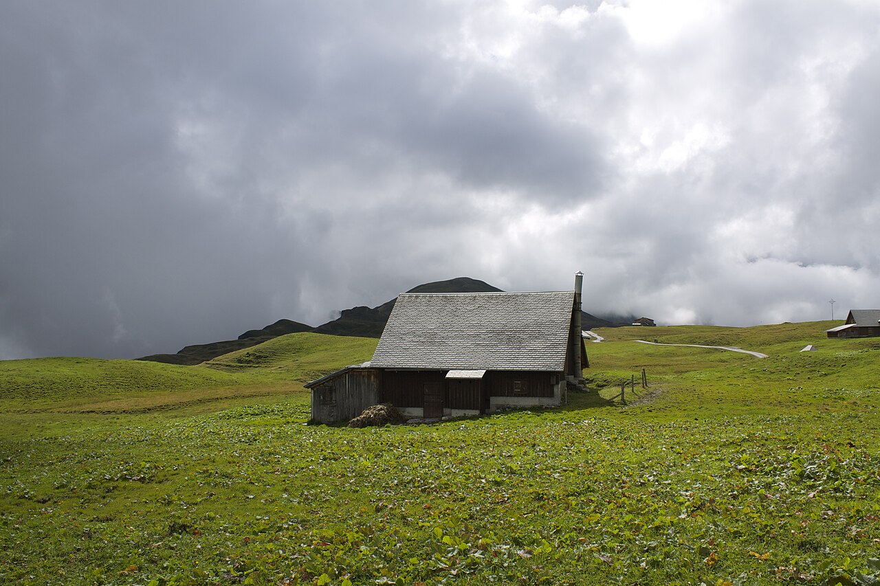
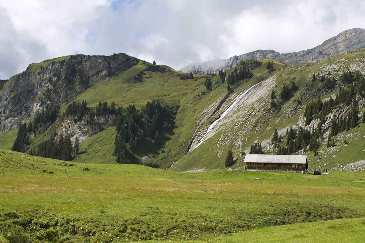
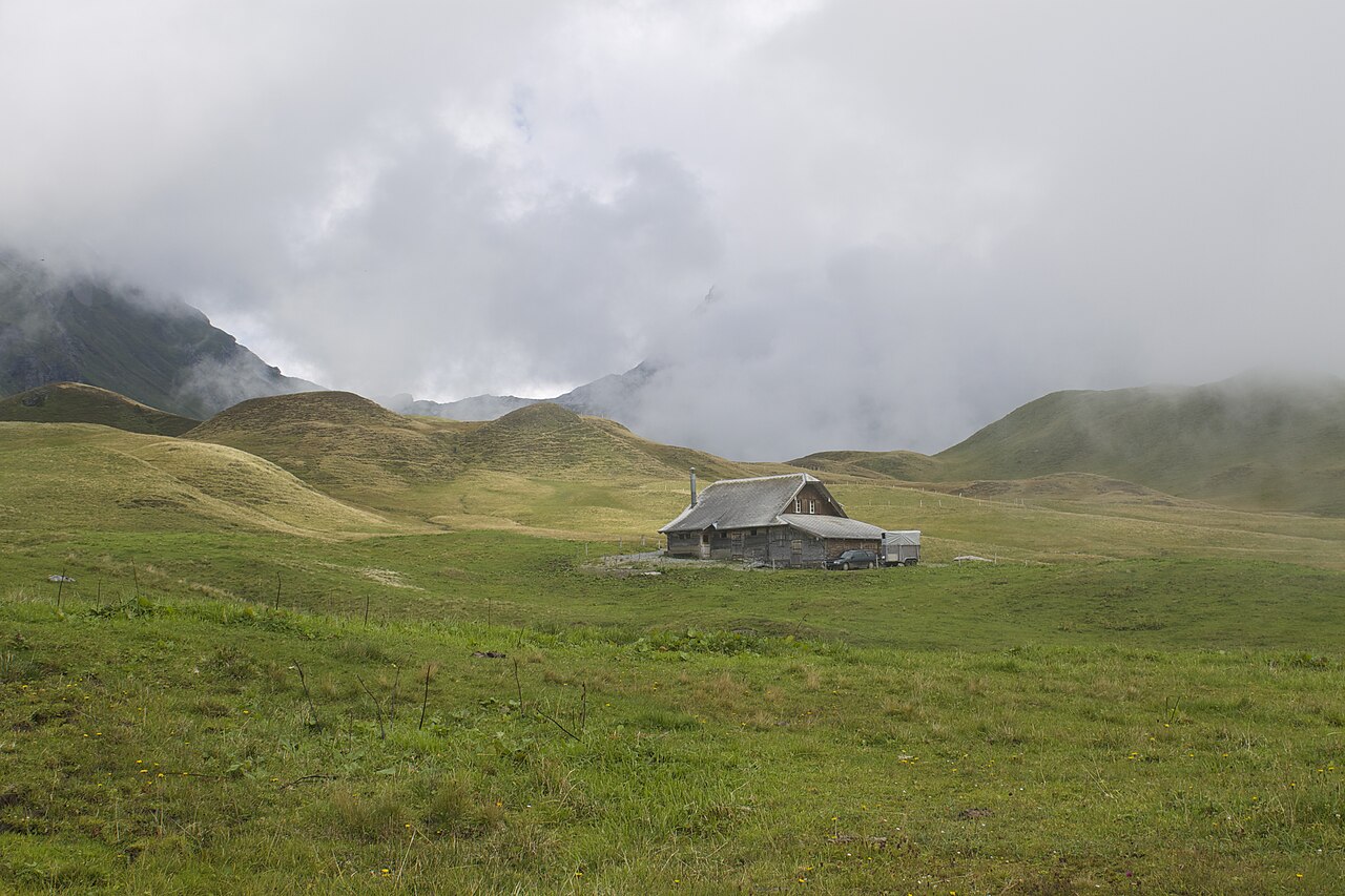
On the higher slopes, the landscape reflects centuries of dairy farming. You will walk on narrow, dirt singletracks worn down by cattle, passing active alpine dairies where the smell of whey is strong. The limestone geology means water disappears quickly underground, leaving dry, rocky ridges above the tree line, while the lower valleys are lush and green. In June, these high meadows are filled with alpine wildflowers, whereas by November, the higher paths are often blocked by early snow, shifting the focus to the lakeside paths.
Choosing where to walk depends on your tolerance for steep climbs. The northern lakeside routes offer paved, reliable surfaces and views across the water, though they run closer to local transport links and villages. In contrast, the southern valleys lead into deep, shaded gorges and rocky ascents where the underfoot conditions are rougher, consisting of stone steps and damp earth. While the well-known lakeside spots and major cable car stations can be busy with day-trippers, the higher, less connected alp pastures remain quiet and agricultural.
Zoom or pan for more routes
Hiking routes in Nidwalden (51)
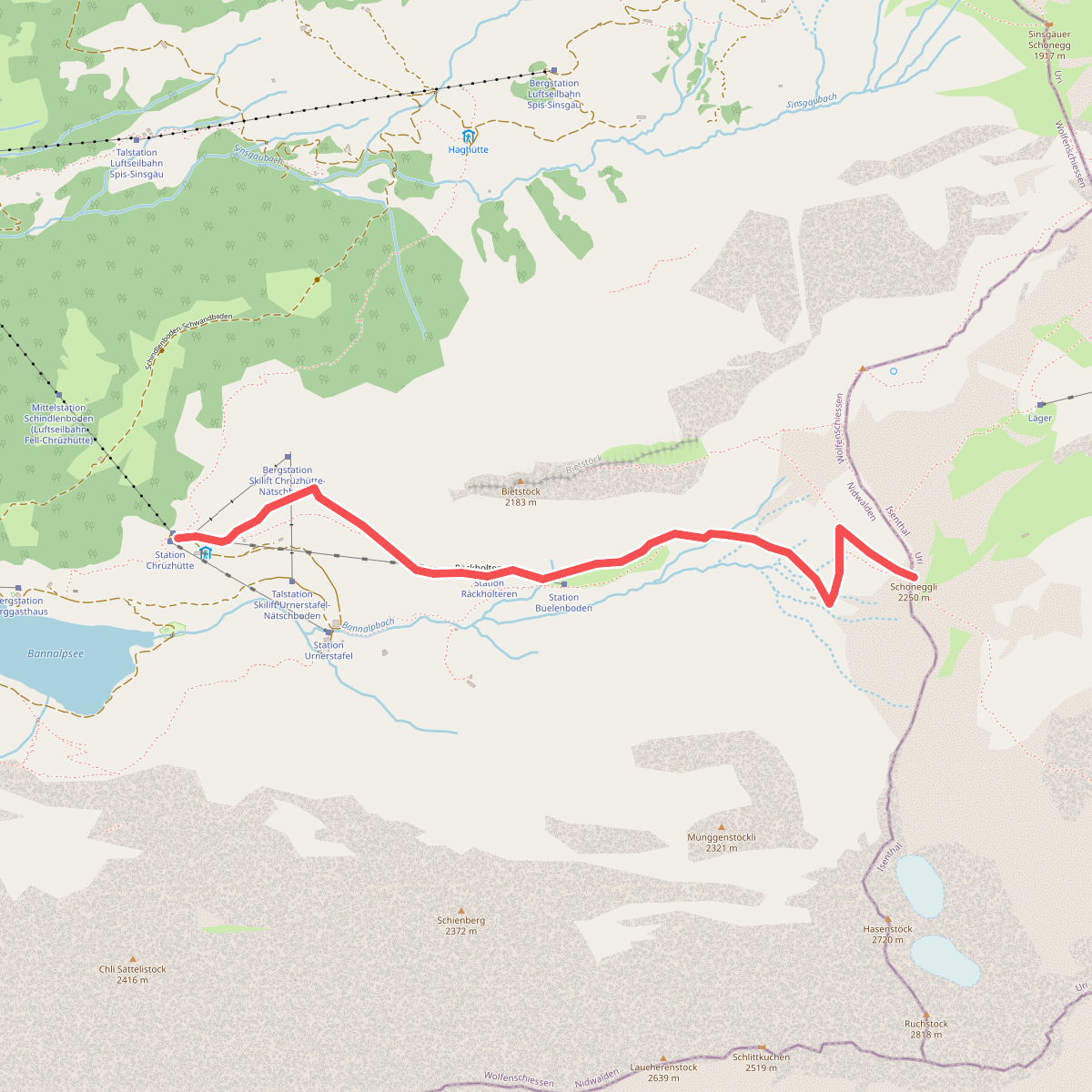
#1. Banalp / Chrüzhütte - Bannalper Schonegg
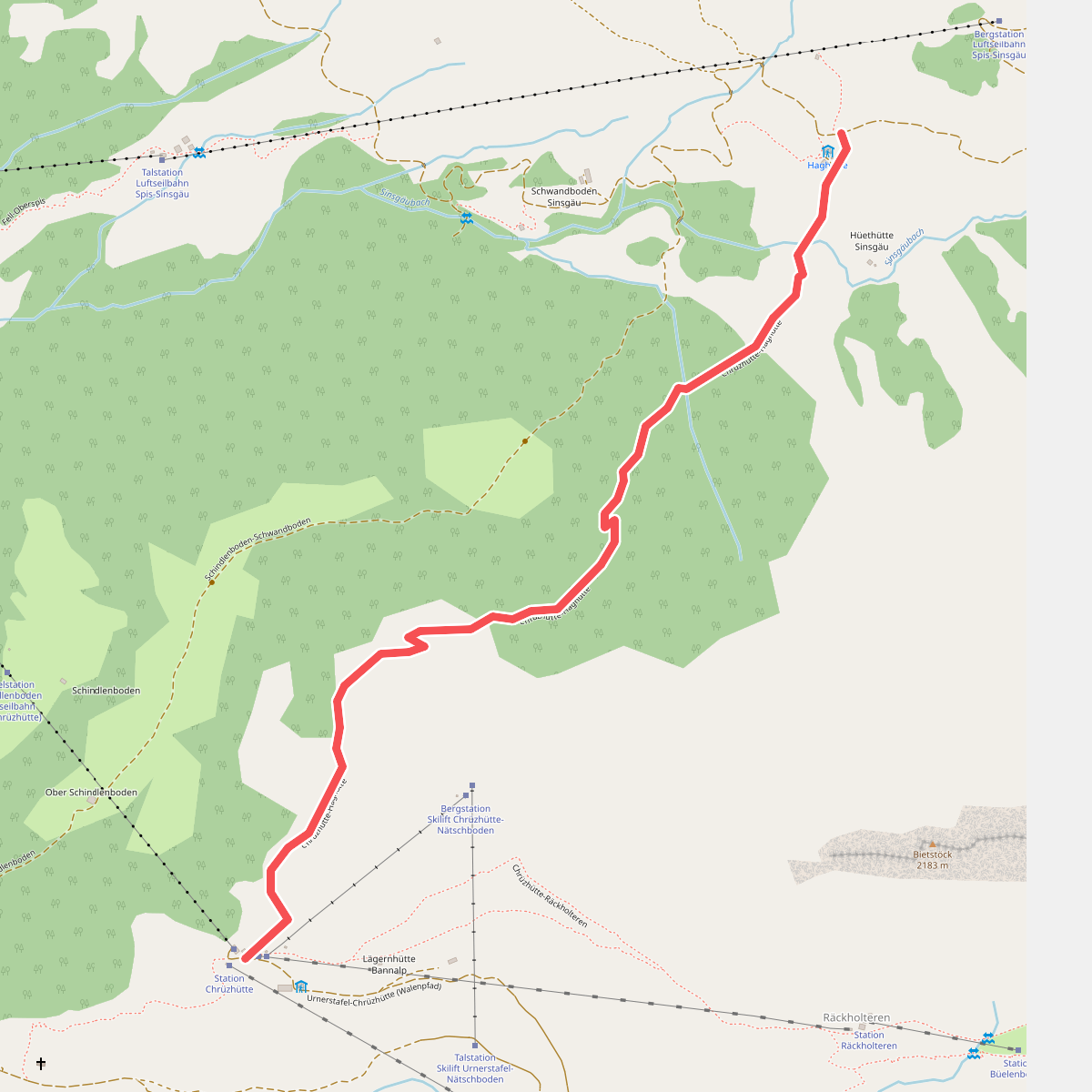
#2. Banalp / Chrüzhütte - Haghütte
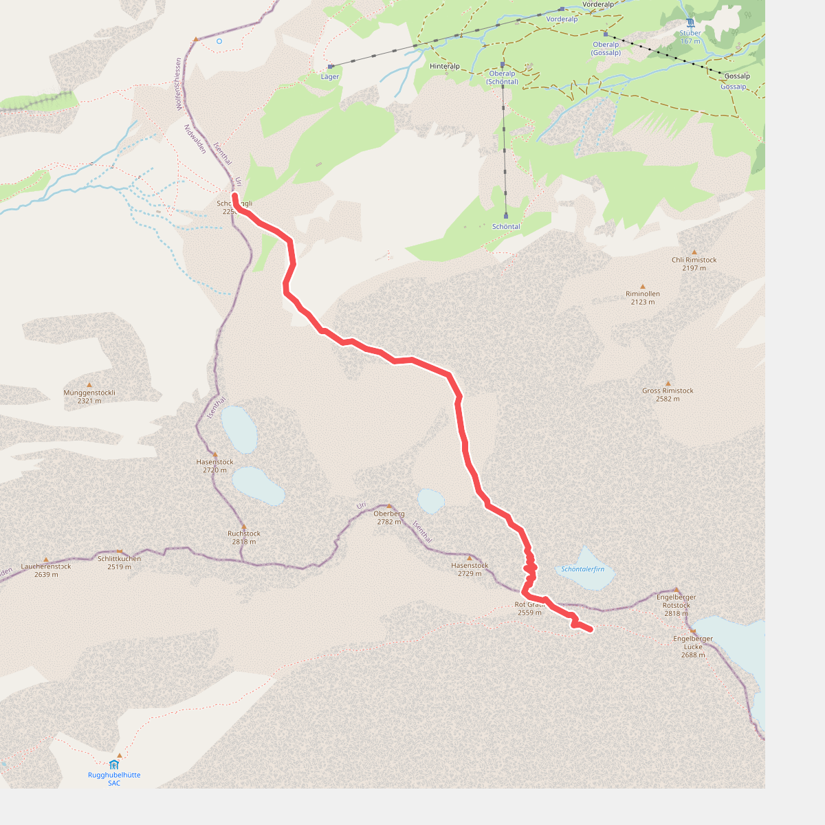
#3. Bannalper Schonegg - Rot Grätli
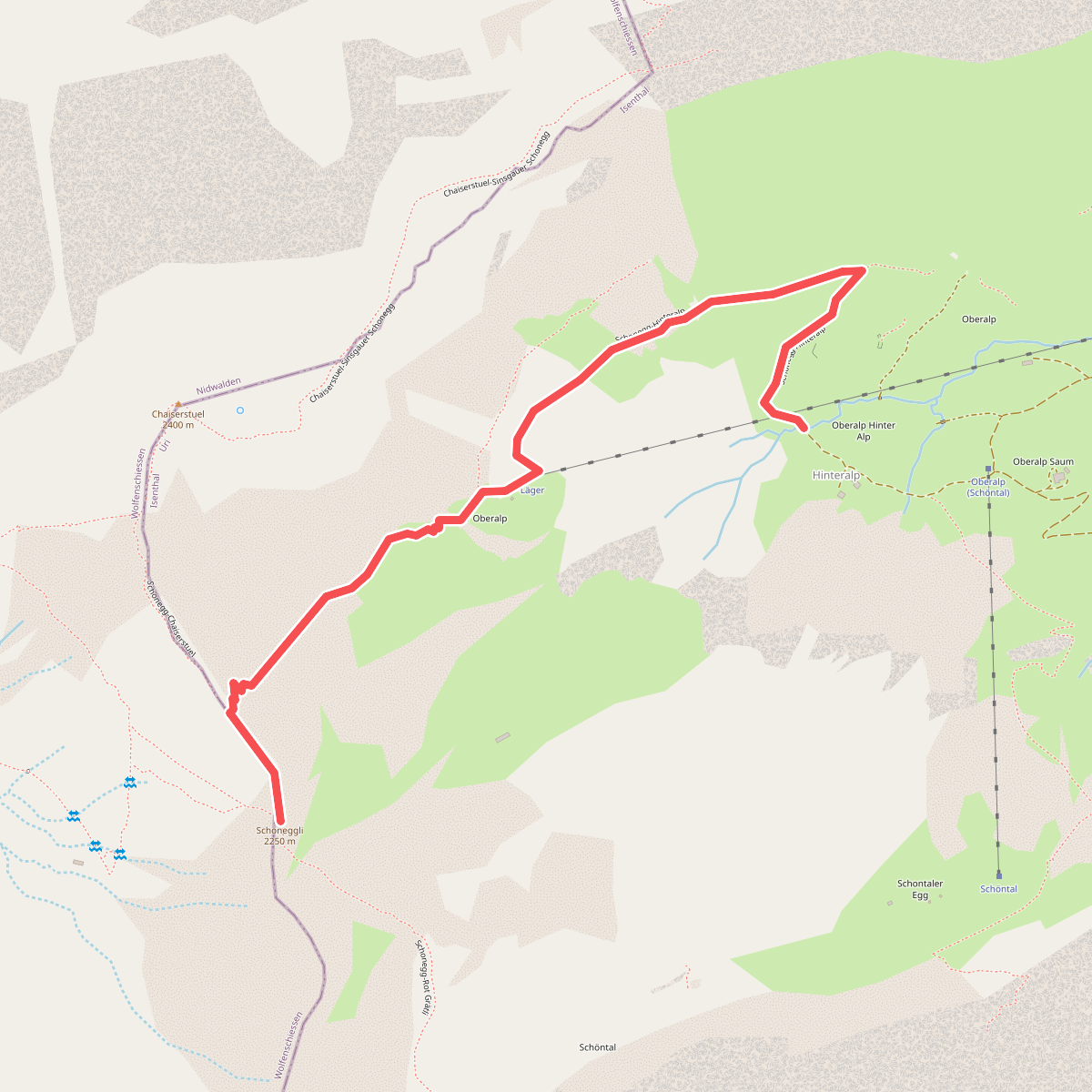
#4. Bannalper Schonegg - Sankt Jakob
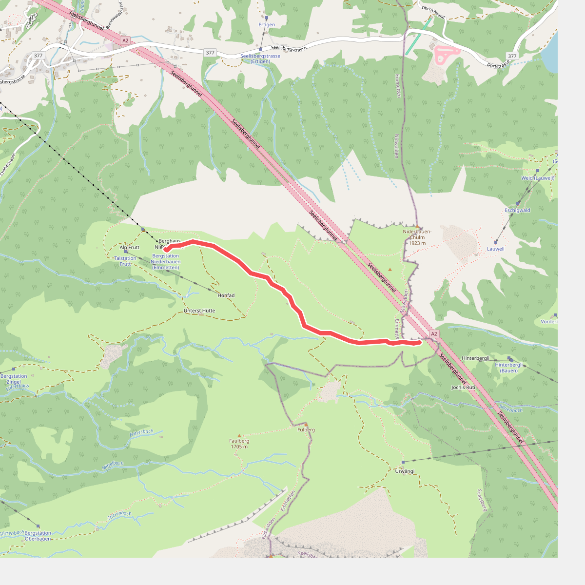
#5. Bergstation Niderbawen - Hundschopf
Emmetten
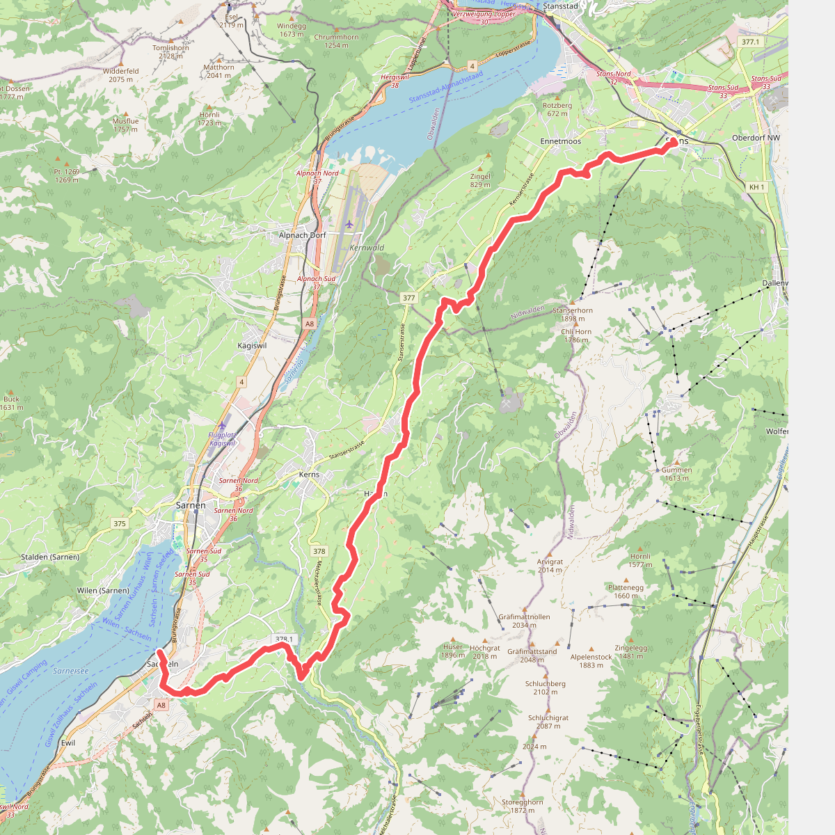
#6. Bruder-Klausen-Weg
Stans,Ennetmoos,Kerns,Sachseln
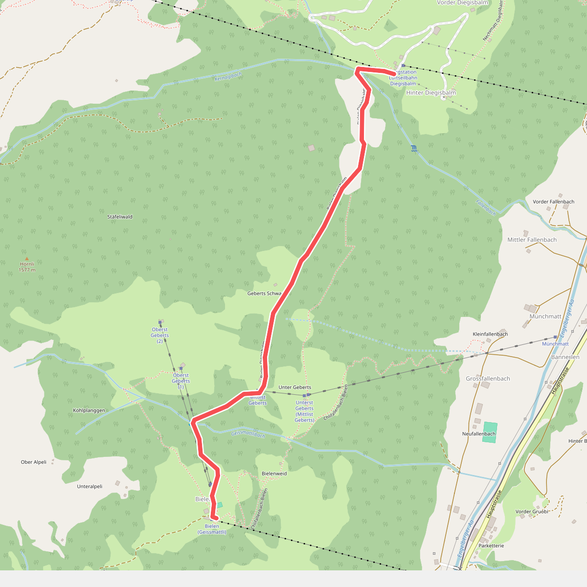
#7. Büelen - Diegischbalm
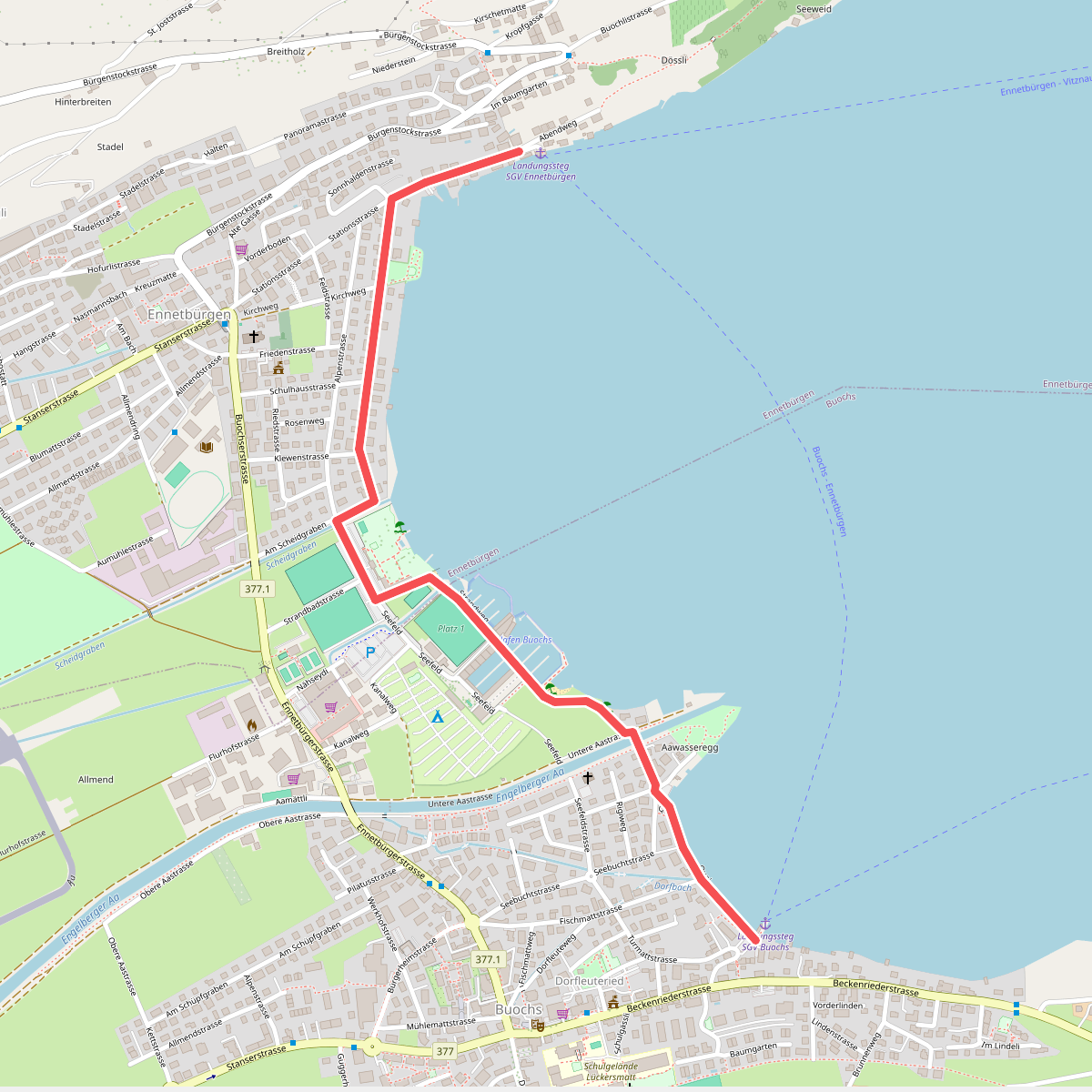
#8. Buochs Schiffländi - Ennetbürgen Schiffländi
Buochs,Ennetbürgen
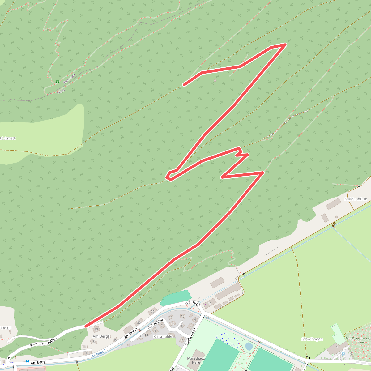
#9. Bürgenberg - fixme
Stans
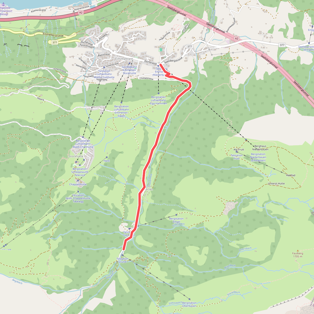
#10. Cholstrasse - Emmetten
Emmetten
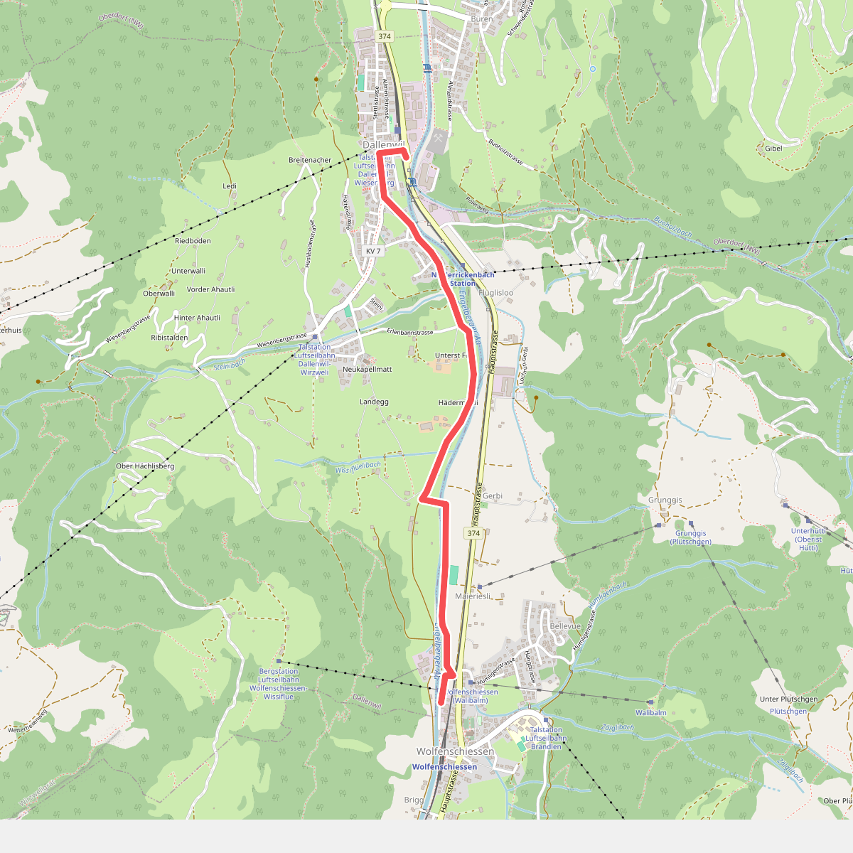
#11. Dallenwil - Wolfenschiessen
Dallenwil,Wolfenschiessen
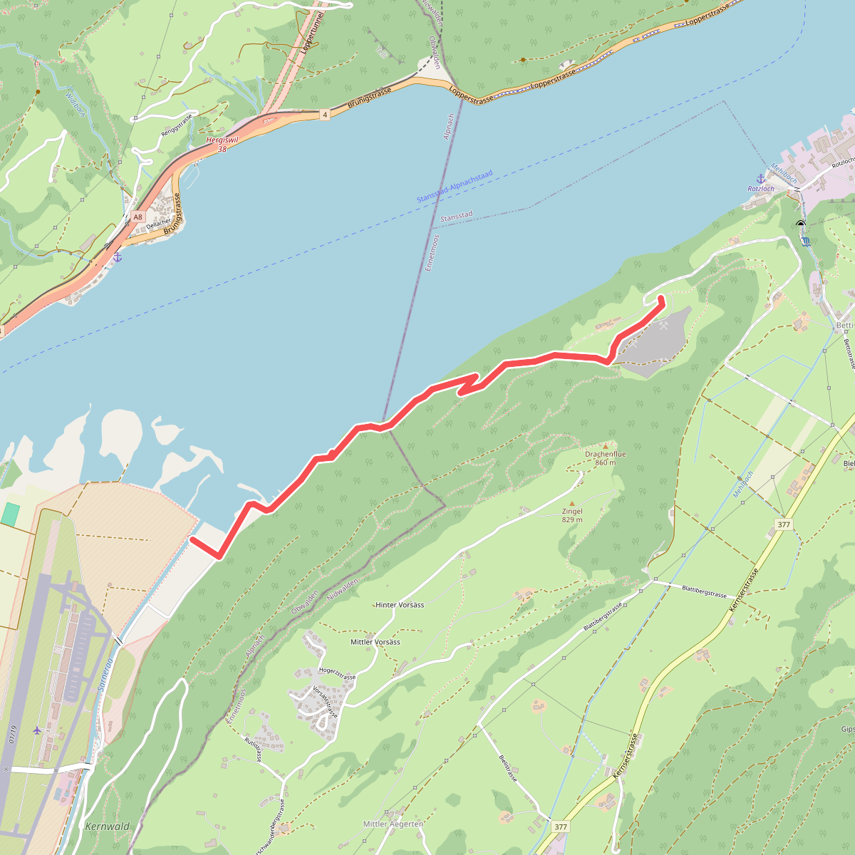
#12. Eichiried - Oberrüti
Alpnach,Ennetmoos



