

The best hiking routes in Lower Austria
Discover the best walks in Lower Austria. 35 routes on the map, with descriptions, photos and GPX.
About Lower Austria
Lower Austria offers walkers a transition between flat river plains and steep, forested river valleys. If you prefer walking on flat, soft ground under a canopy of deciduous trees, the Nationalpark Donau-Auen preserves one of Europe's last remaining large wetlands along the Danube. Here, the paths are mostly level dirt tracks and gravel dikes where you will notice the constant presence of standing water, side channels, and fallen logs rotting in the damp soil.
Read more
About Lower Austria
Lower Austria offers walkers a transition between flat river plains and steep, forested river valleys. If you prefer walking on flat, soft ground under a canopy of deciduous trees, the Nationalpark Donau-Auen preserves one of Europe's last remaining large wetlands along the Danube. Here, the paths are mostly level dirt tracks and gravel dikes where you will notice the constant presence of standing water, side channels, and fallen logs rotting in the damp soil.
Read moreLower Austria offers walkers a transition between flat river plains and steep, forested river valleys. If you prefer walking on flat, soft ground under a canopy of deciduous trees, the Nationalpark Donau-Auen preserves one of Europe's last remaining large wetlands along the Danube. Here, the paths are mostly level dirt tracks and gravel dikes where you will notice the constant presence of standing water, side channels, and fallen logs rotting in the damp soil.
For those who prefer deep valleys and rocky terrain, the northern border region offers a completely different experience. In the Nationalpark Thayatal and the adjacent Národní park Podyjí, the Thaya river has carved deep loops into the granite bedrock. Walking here means navigating steep, narrow paths on forest soil, often mixed with loose stones and exposed tree roots, leading to rocky outcrops that overlook the river bend below. These valleys are densely wooded with beech and oak, keeping the paths shaded and cool even in the middle of summer.
This region does not have high alpine peaks or dramatic mountain passes, but rather a quiet contrast between wide river floodplains and steep, forested river cuts. The well-known viewpoints in the river loops can attract more visitors on weekends, while the deeper forest trails remain much quieter. Your choice depends on whether you want a flat, watery walk along the Danube or a hilly, rocky hike through the dense forests of the northern border.
Nature areas in Lower Austria
Zoom or pan for more routes
Hiking routes in Lower Austria (35)
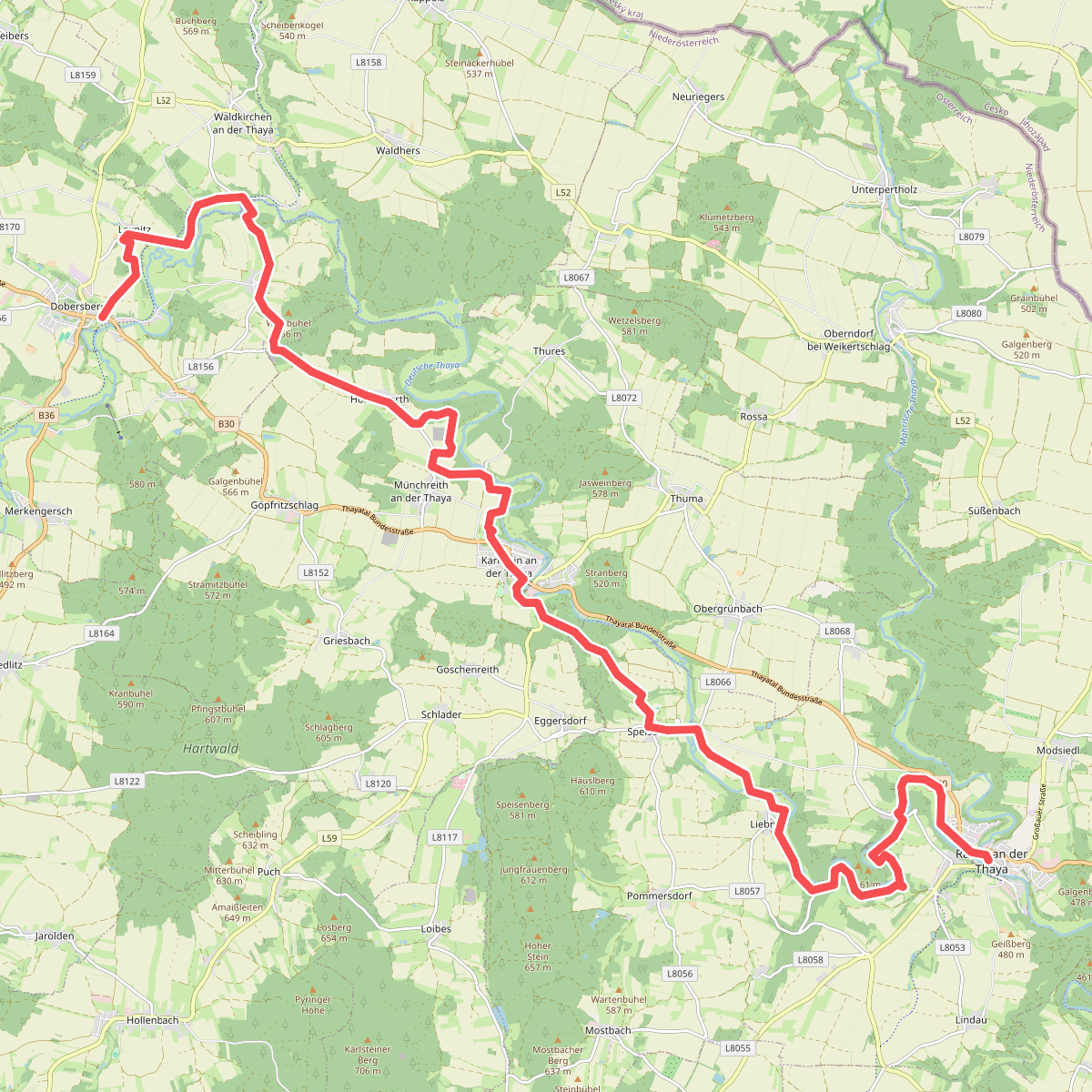
#1. Dobersberg - Raabs an der Thaya
Dobersberg,Waldkirchen an der Thaya,Karlstein an der Thaya,Raabs an der Thaya
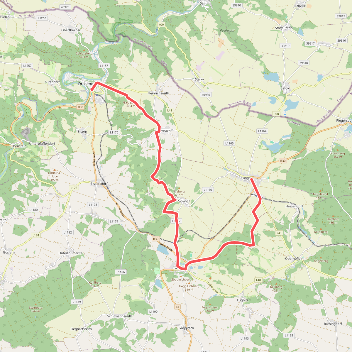
#2. Drosendorf - Langau
Drosendorf-Zissersdorf,Geras,Langau
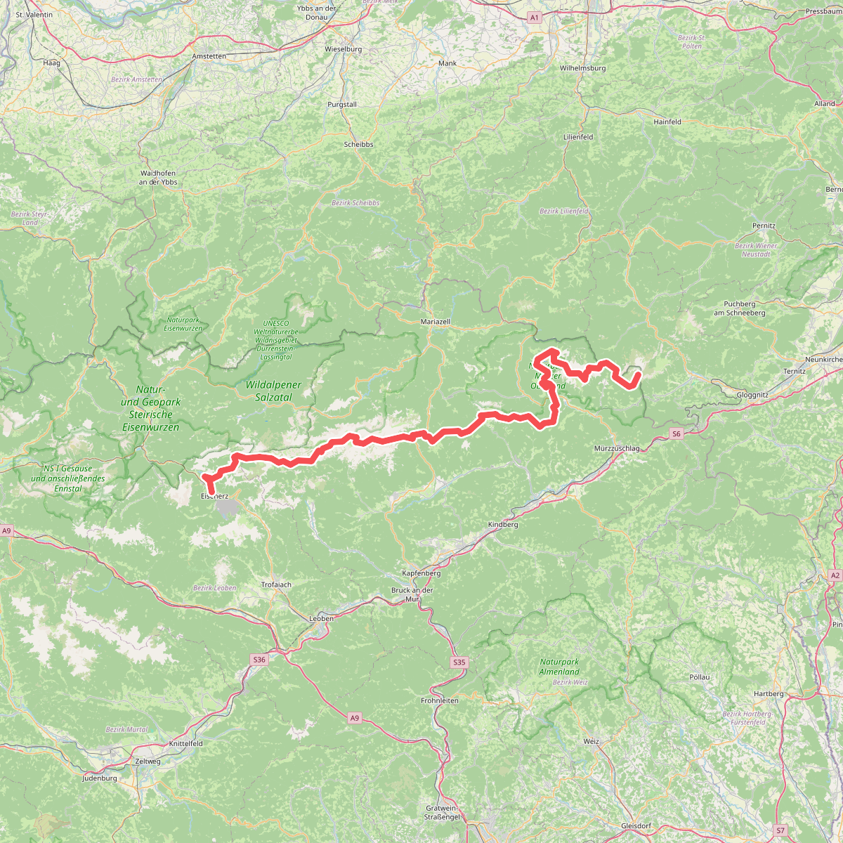
#3. Europäischer Fernwanderweg E4 alpin (Eisenerz - Rax)
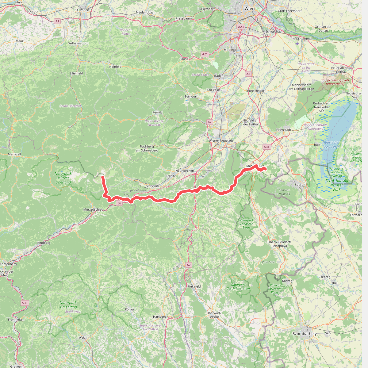
#4. Europäischer Fernwanderweg E4 alpin (Rax -Mattersburg)
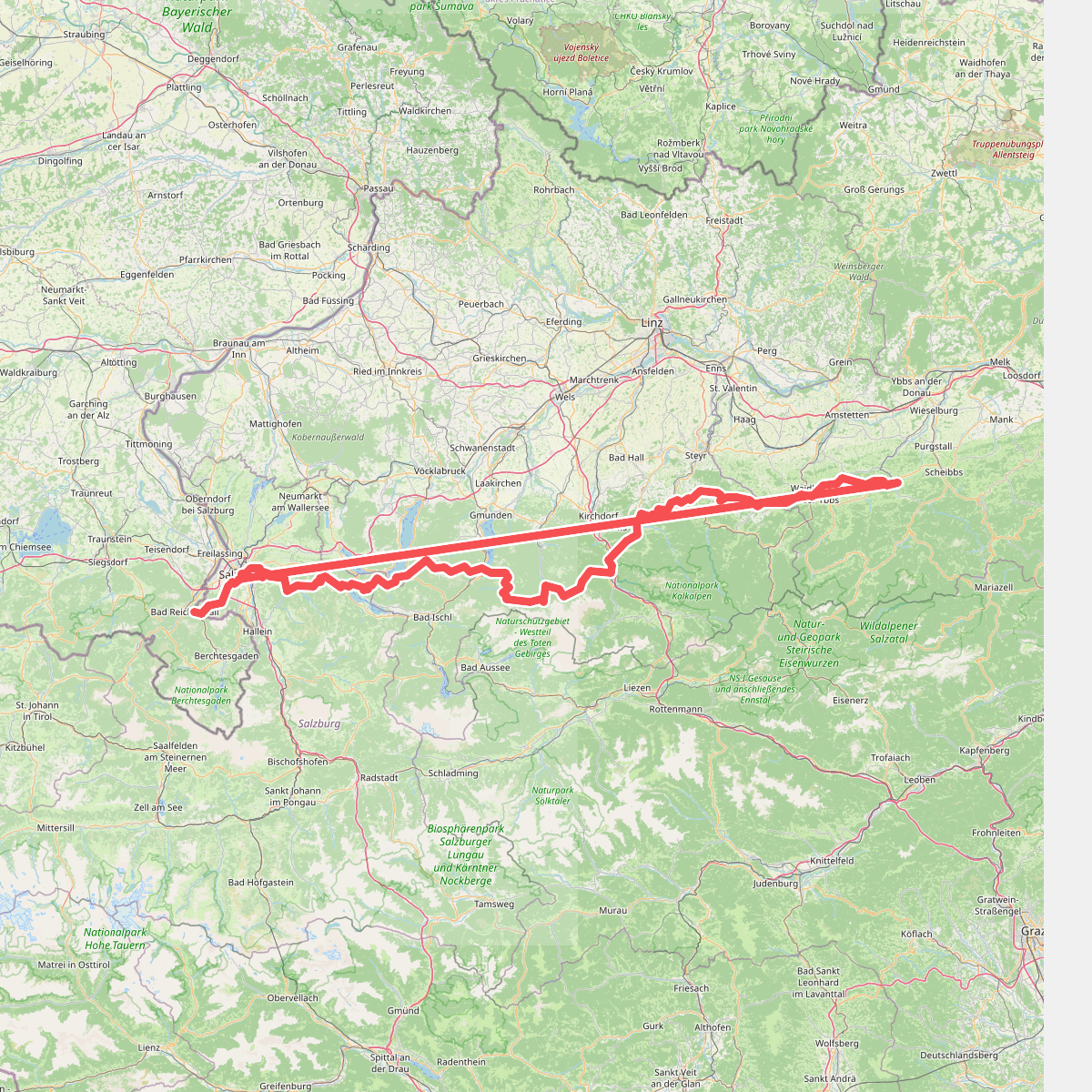
#5. Europäischer Fernwanderweg E4 (von Salzburg nach Gresten)
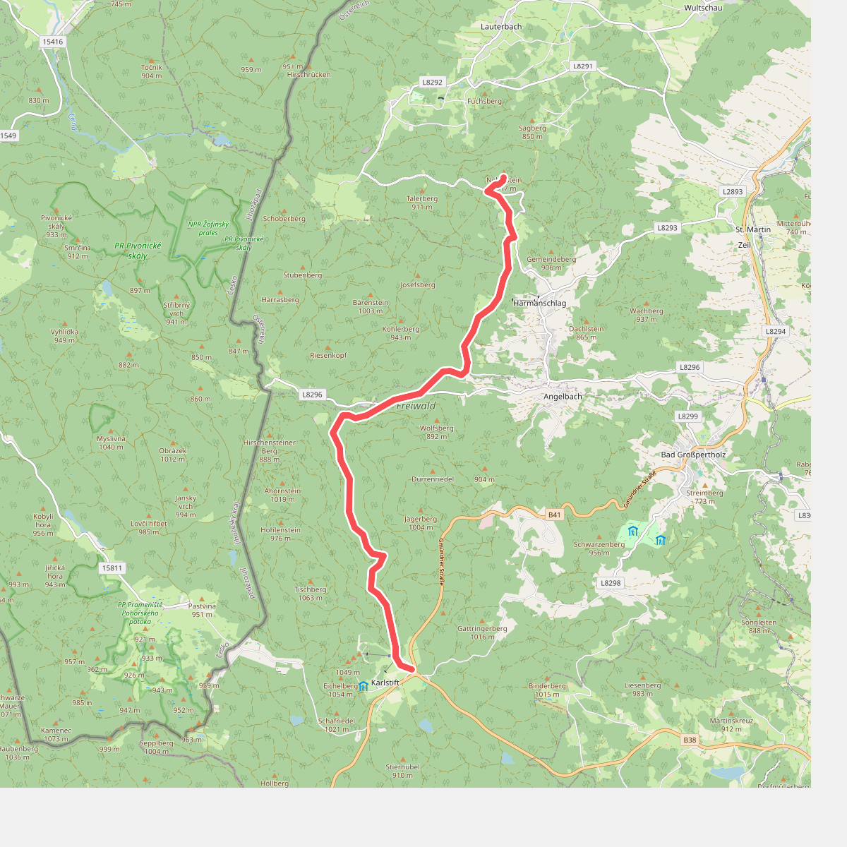
#6. Europäischer Fernwanderweg E6, Abstecher zum Nebelstein
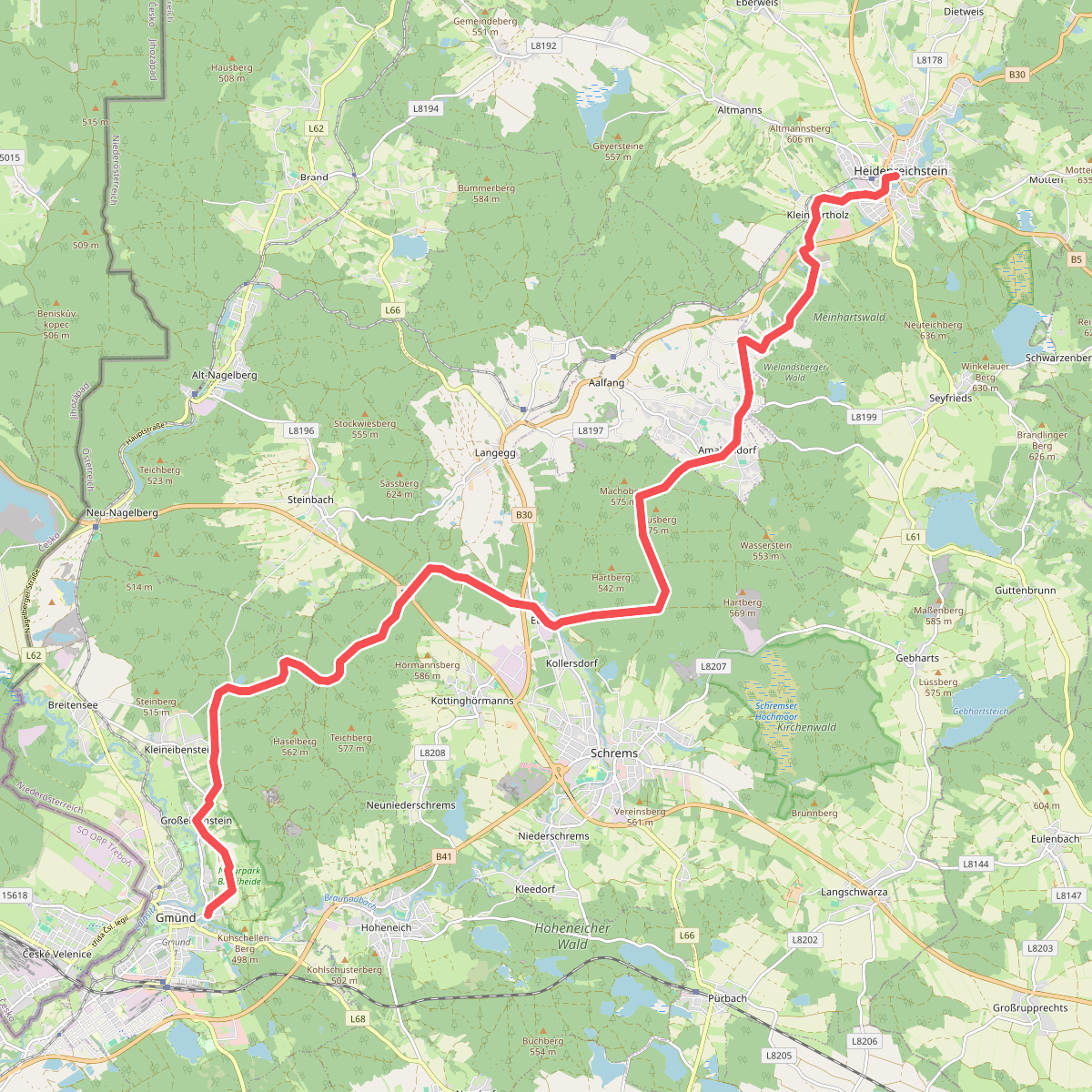
#7. Gemund - Heidenreichstein
Gmünd,Schrems,Amaliendorf-Aalfang,Heidenreichstein
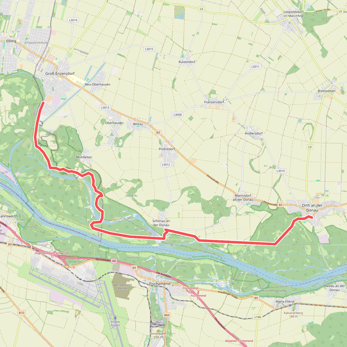
#8. Gross-Enzersdorf - Orth an der Donau
Groß-Enzersdorf,Wien,Orth an der Donau
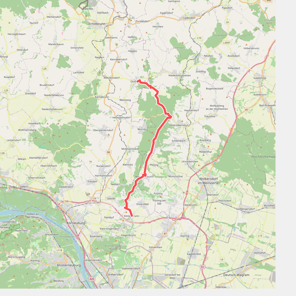
#9. Grossrussbach - Koenigsbrunn
Großrußbach,Kreuttal,Ulrichskirchen-Schleinbach,Harmannsdorf,Großebersdorf,Stetten,Enzersfeld im Weinviertel
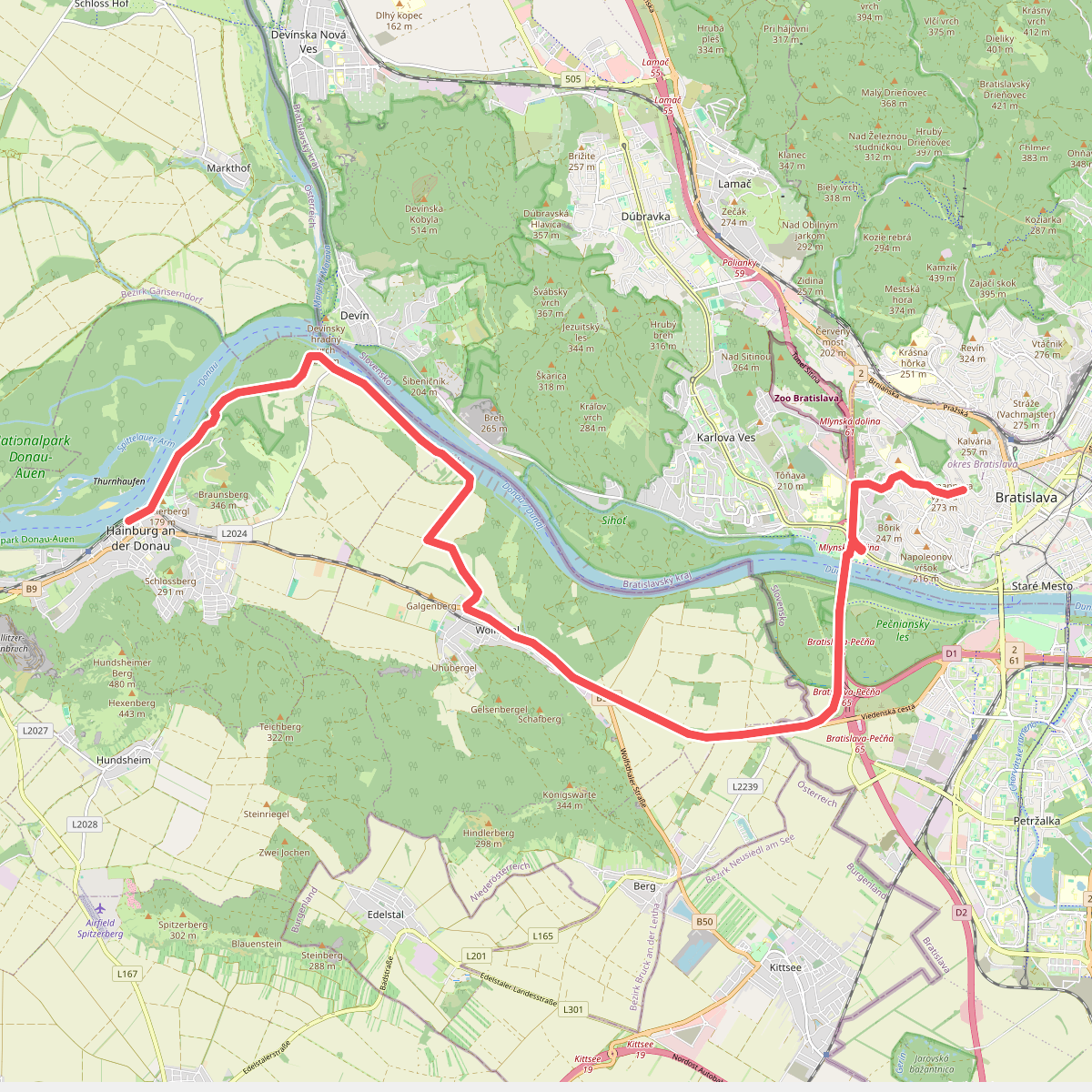
#10. Hainburg an der Donau - Bratislava
Hainburg an der Donau,Wolfsthal,Berg,Bratislava
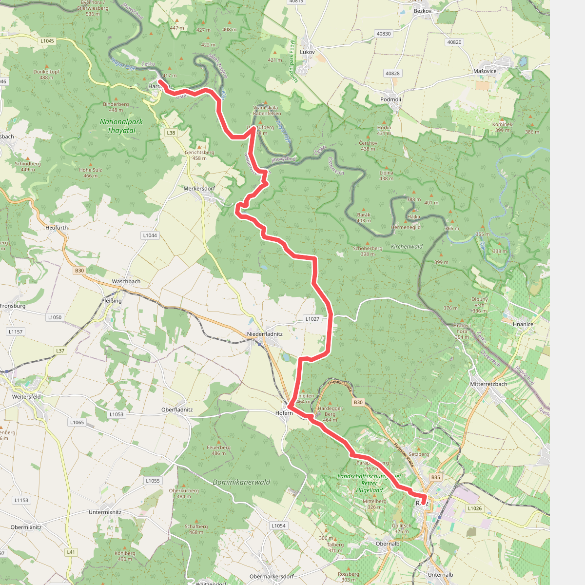
#11. Hardegg - Retz
Hardegg,Retz
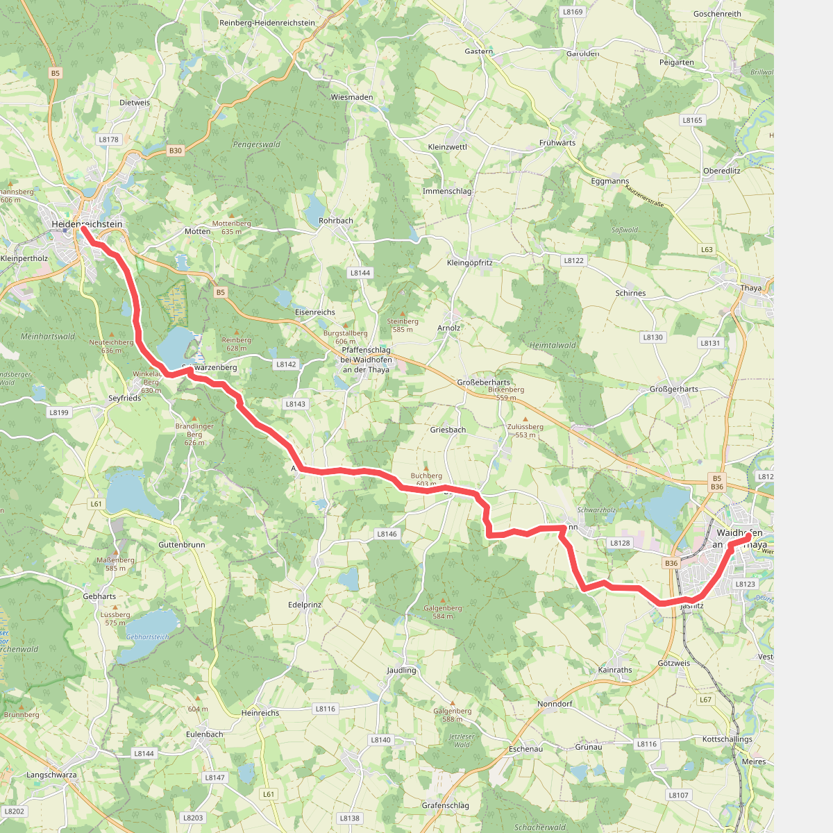
#12. Heidenreichstein - Waidhofen an der Thaya
Heidenreichstein,Pfaffenschlag bei Waidhofen an der Thaya,Waidhofen an der Thaya-Land,Waidhofen an der Thaya



