The best hiking routes in Kardzhali
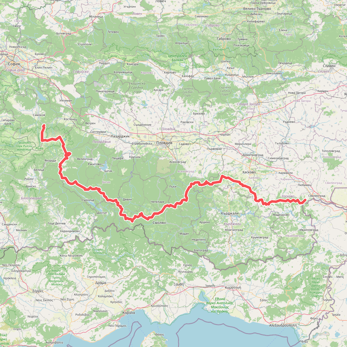
Discover the best walks in Kardzhali. 1 routes on the map, with descriptions, photos and GPX.
About Kardzhali
Kardzhali sits in a landscape shaped by the damming of the Arda River, creating a terrain of steep, clay-heavy hillsides and artificial reservoirs. Walkers will find a sharp contrast between the concrete-paved promenades near the water level and the rough, stony tracks that climb into the surrounding scrubland. The soil underfoot changes quickly from hard-packed dirt to loose shale, requiring sturdy footwear even on short detours from the town edge.
Read more
About Kardzhali
Kardzhali sits in a landscape shaped by the damming of the Arda River, creating a terrain of steep, clay-heavy hillsides and artificial reservoirs. Walkers will find a sharp contrast between the concrete-paved promenades near the water level and the rough, stony tracks that climb into the surrounding scrubland. The soil underfoot changes quickly from hard-packed dirt to loose shale, requiring sturdy footwear even on short detours from the town edge.
Read moreKardzhali sits in a landscape shaped by the damming of the Arda River, creating a terrain of steep, clay-heavy hillsides and artificial reservoirs. Walkers will find a sharp contrast between the concrete-paved promenades near the water level and the rough, stony tracks that climb into the surrounding scrubland. The soil underfoot changes quickly from hard-packed dirt to loose shale, requiring sturdy footwear even on short detours from the town edge.
Because of the massive water engineering projects, the immediate area lacks high mountain peaks or deep, natural alpine valleys. Instead, you will walk through a series of low, dry ridges covered in oak brush and pine plantations. In November, these hillsides turn a dull rust-brown, and the water levels in the reservoirs drop, exposing wide bands of grey silt and gravel along the shoreline.
While the lakeside paths near the town center are often busy with local strollers, the higher dirt tracks remain quiet. These upland paths are characterized by erosion gullies and exposed volcanic rock formations rather than manicured trails. It is a functional, rugged landscape where goat tracks double as walking paths, offering a direct look at how the local sheep farming and forestry shape the vegetation.
Zoom or pan for more routes