The best hiking routes in Grisons
Discover the best walks in Grisons. 538 routes on the map, with descriptions, photos and GPX.
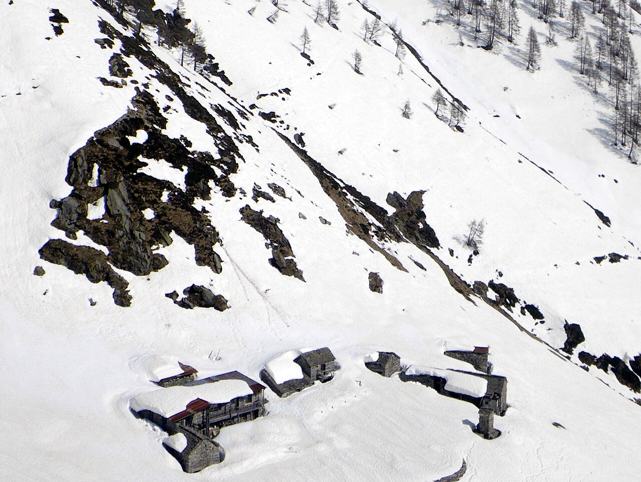
About Grisons
Grisons is defined by its extreme elevation changes and distinct linguistic valleys. If you prefer strict nature conservation where you must stay on the designated paths, the Schweizerischer Nationalpark in the Engadin valley offers dense larch forests and limestone scree slopes. In contrast, crossing the border into the Parco Nazionale dello Stelvio - Nationalpark Stilfser Joch reveals a more managed alpine landscape where high-altitude military tracks from past conflicts provide wide, gravelly footing underfoot.
Read more
About Grisons
Grisons is defined by its extreme elevation changes and distinct linguistic valleys. If you prefer strict nature conservation where you must stay on the designated paths, the Schweizerischer Nationalpark in the Engadin valley offers dense larch forests and limestone scree slopes. In contrast, crossing the border into the Parco Nazionale dello Stelvio - Nationalpark Stilfser Joch reveals a more managed alpine landscape where high-altitude military tracks from past conflicts provide wide, gravelly footing underfoot.
Read moreGrisons is defined by its extreme elevation changes and distinct linguistic valleys. If you prefer strict nature conservation where you must stay on the designated paths, the Schweizerischer Nationalpark in the Engadin valley offers dense larch forests and limestone scree slopes. In contrast, crossing the border into the Parco Nazionale dello Stelvio - Nationalpark Stilfser Joch reveals a more managed alpine landscape where high-altitude military tracks from past conflicts provide wide, gravelly footing underfoot.
To understand this landscape, look at the timberline. Around October, the golden needles of the larches in the Schweizerischer Nationalpark contrast sharply with the grey rock, showing exactly where the harsh winter climate prevents tree growth. The paths here are often rough with exposed tree roots and loose stones, requiring steady footwork.
This region does not offer gentle, flat lakeside strolls or soft grassy meadows. The terrain is steep and demanding, meaning you will spend much of your time climbing or descending on hard, rocky ground. While the well-known trailheads near the main roads can be busy, the higher passes remain quiet and demanding.
Nature areas in Grisons
Zoom or pan for more routes
Hiking routes in Grisons (538)
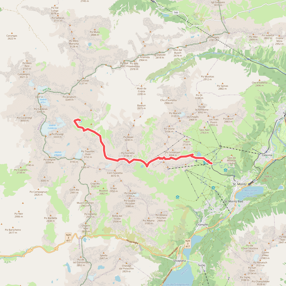
#1. 01-Alpenpässe-Weg
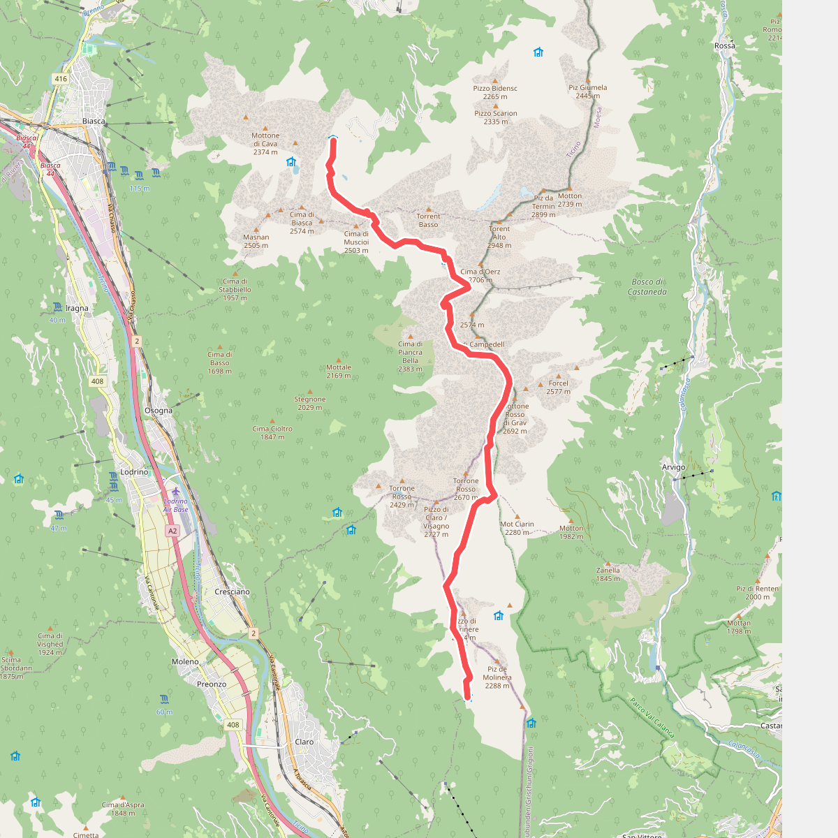
#2. 01-Via Alta Crio
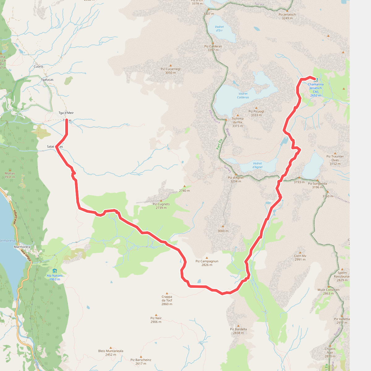
#3. 02-Alpenpässe-Weg
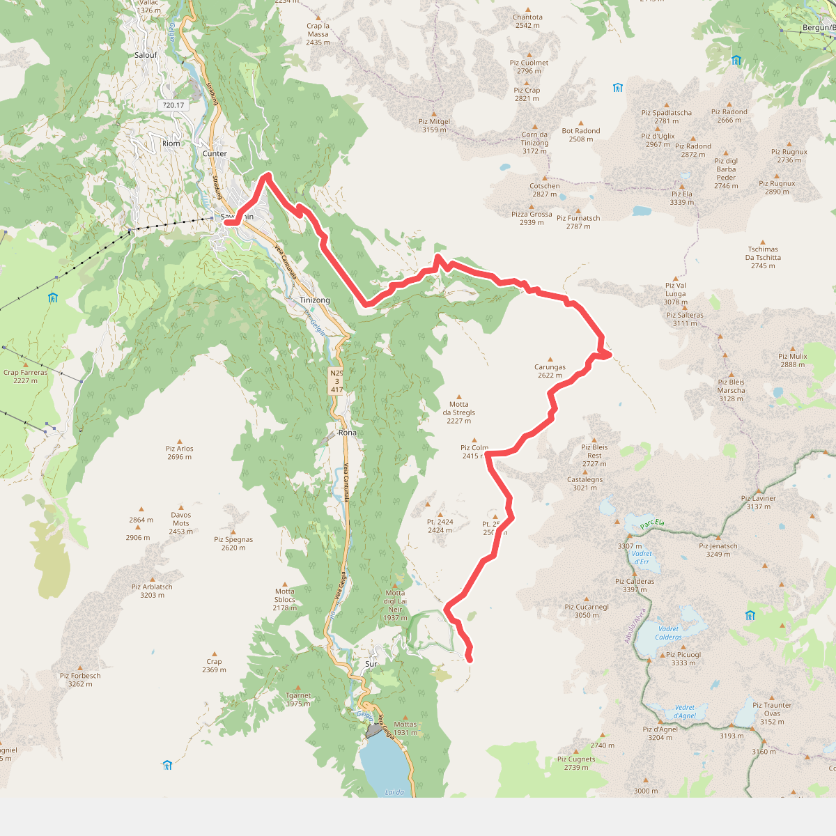
#4. 03-Alpenpässe-Weg
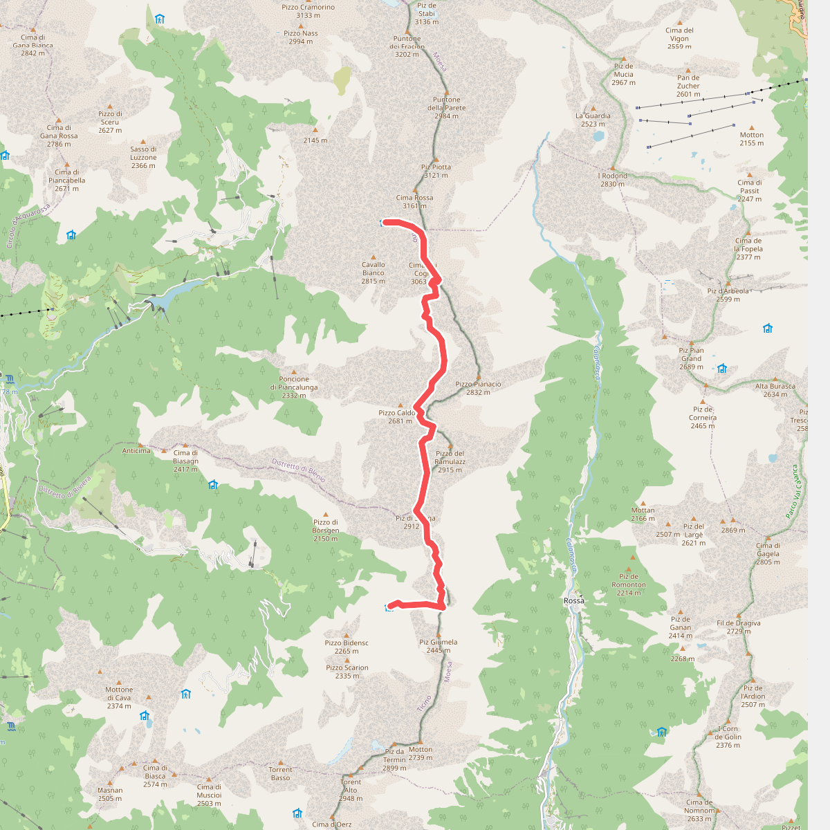
#5. 03-Via Alta Crio
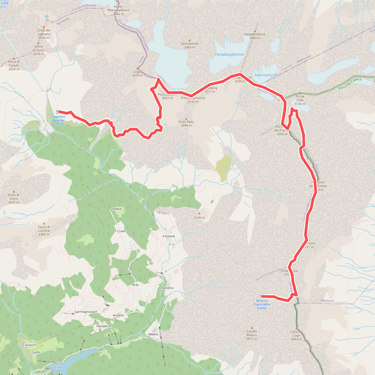
#6. 04-Via Alta Crio
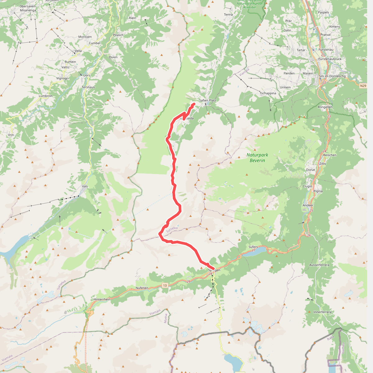
#7. 06-Alpenpässe-Weg
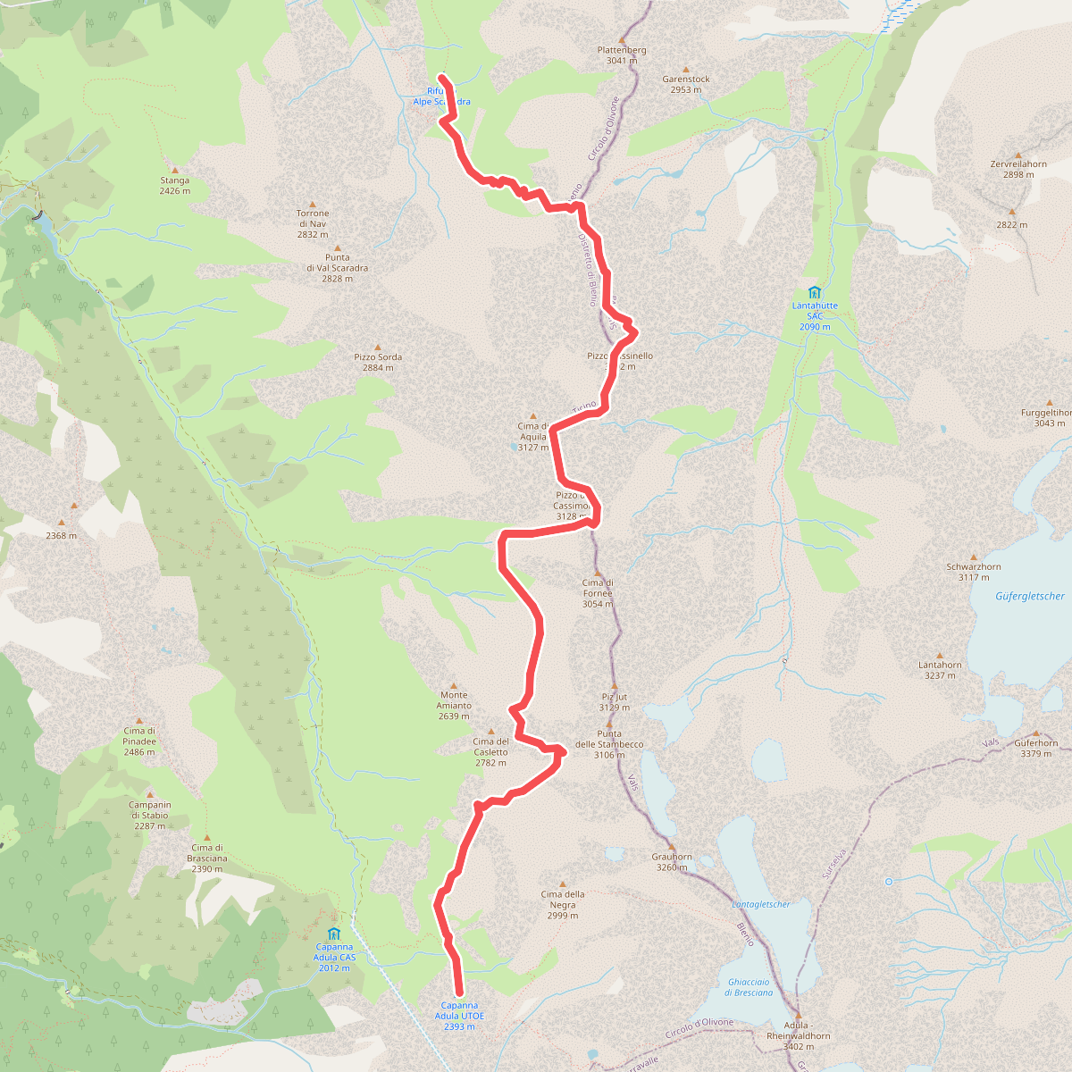
#8. 06-Via Alta Crio
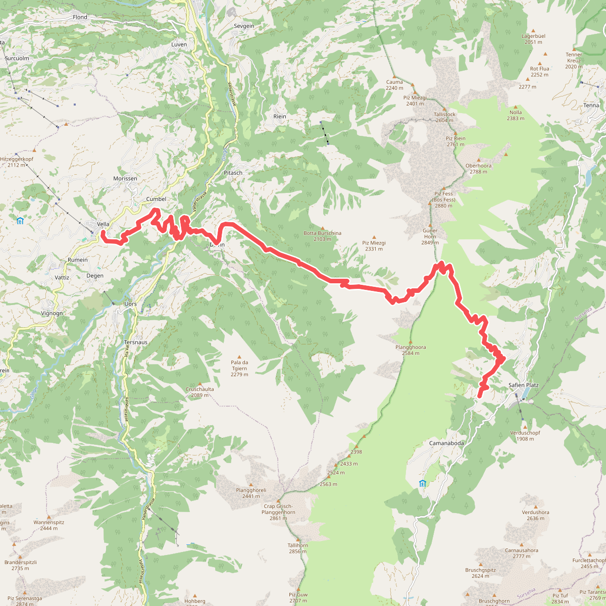
#9. 07-Alpenpässe-Weg
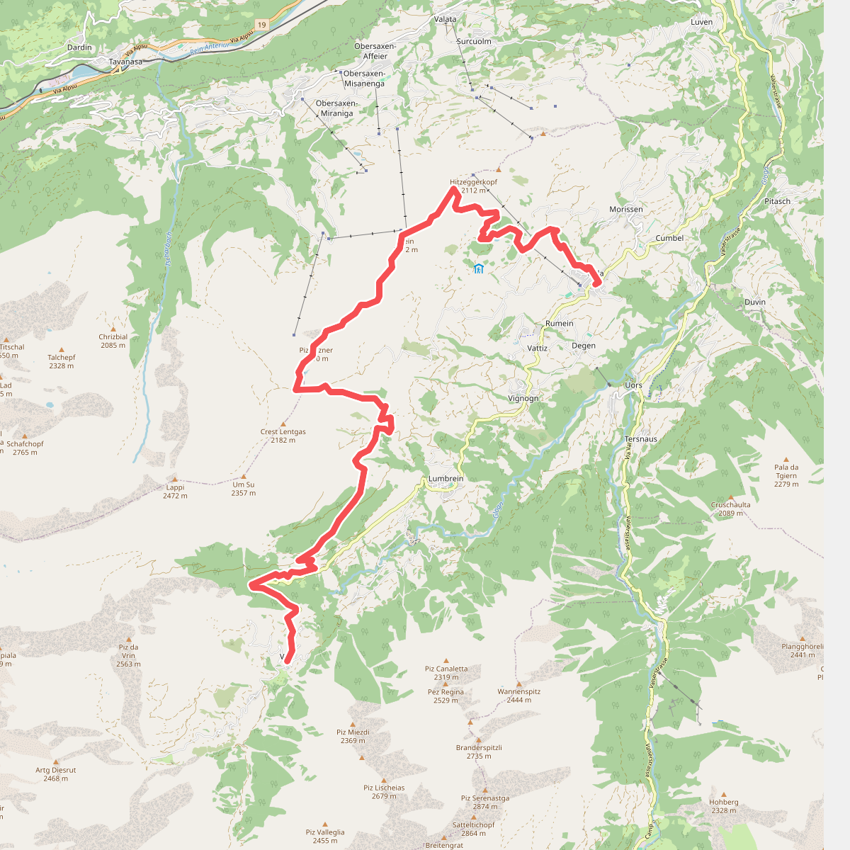
#10. 08-Alpenpässe-Weg
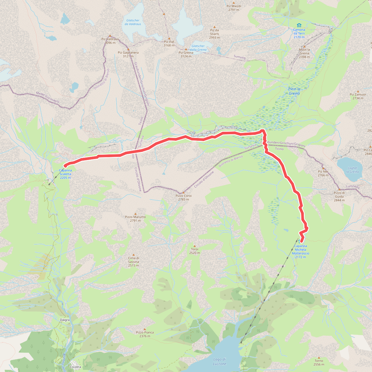
#11. 08-Via Alta Crio