

The best hiking routes in Glarus
Discover the best walks in Glarus. 54 routes on the map, with descriptions, photos and GPX.
About Glarus
Glarus is a deeply carved, mountainous canton in eastern Switzerland defined by dramatic elevation changes. If you prefer flat, rolling meadows, this region is not for you; the terrain here is steep, rocky, and dominated by sheer limestone cliffs. Walkers must choose between the deep, shadowed valley floor of the Linth river and the high-altitude alpine pastures that sit abruptly above the vertical rock walls.
Read more
About Glarus
Glarus is a deeply carved, mountainous canton in eastern Switzerland defined by dramatic elevation changes. If you prefer flat, rolling meadows, this region is not for you; the terrain here is steep, rocky, and dominated by sheer limestone cliffs. Walkers must choose between the deep, shadowed valley floor of the Linth river and the high-altitude alpine pastures that sit abruptly above the vertical rock walls.
Read moreGlarus is a deeply carved, mountainous canton in eastern Switzerland defined by dramatic elevation changes. If you prefer flat, rolling meadows, this region is not for you; the terrain here is steep, rocky, and dominated by sheer limestone cliffs. Walkers must choose between the deep, shadowed valley floor of the Linth river and the high-altitude alpine pastures that sit abruptly above the vertical rock walls.
On the trail, you will notice how the geology shapes your route. The famous Glarus Thrust is visible as a distinct horizontal line where older rock sits on top of younger stone, creating sharp, angular peaks and scree slopes underfoot. In July, the high pastures around the Limmernsee reservoir offer rugged paths over limestone pavement, while the lower valleys feature hard-packed gravel forestry roads through dense pine woods.
Choosing where to walk depends on your comfort with steep climbs. The northern part of the canton near the Walensee lake has wetter, greener slopes and views of the jagged Churfirsten range across the water. In contrast, the southern head of the valley feels much more enclosed and industrial, where narrow gorges lead toward massive hydroelectric infrastructure and high alpine glaciers.
Zoom or pan for more routes
Hiking routes in Glarus (54)
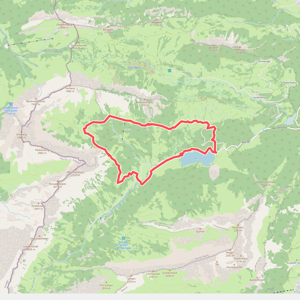
#1. Ahornen-Rundweg
Glarus Nord
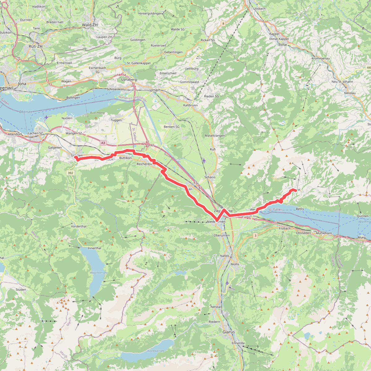
#2. Alpenpanorama-Weg
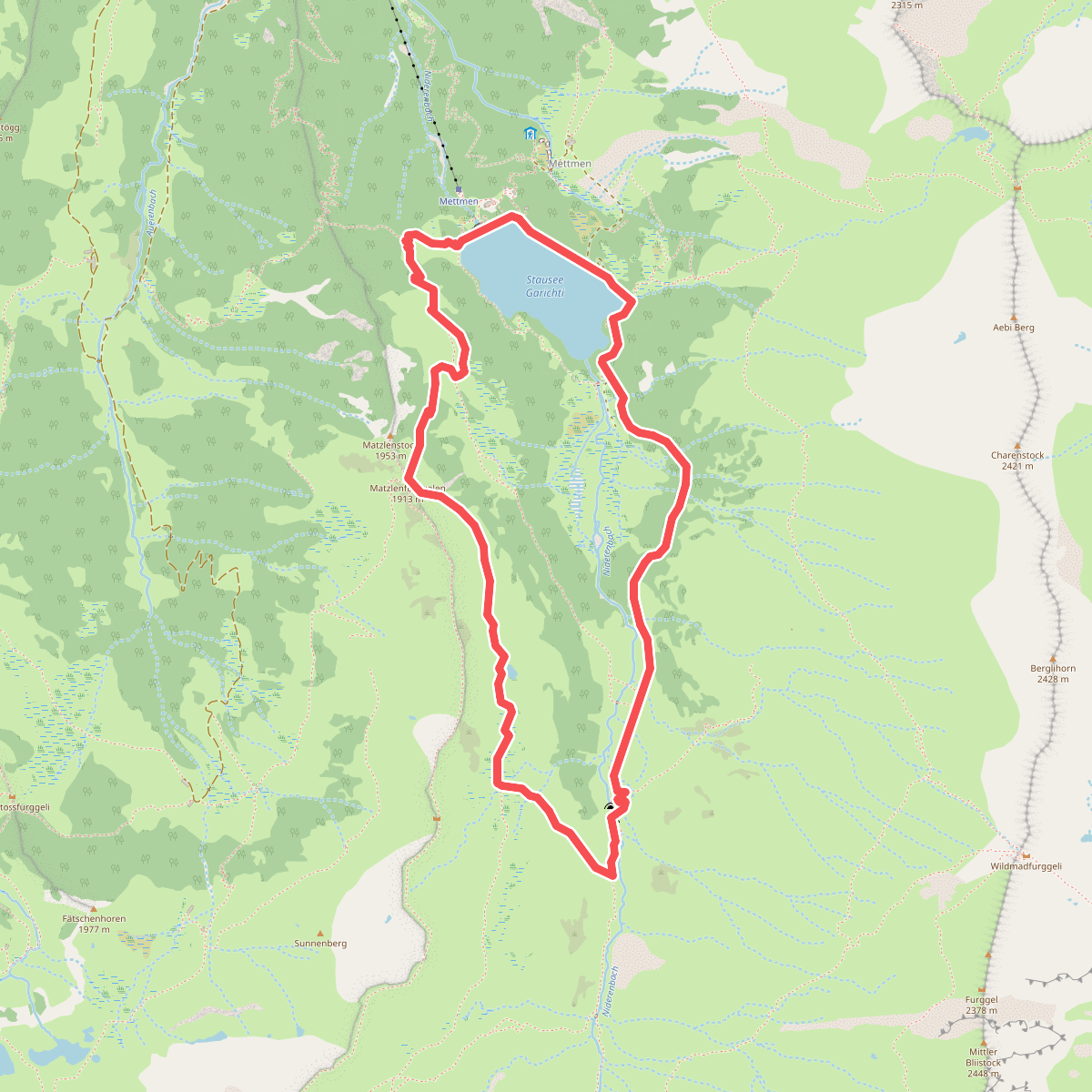
#3. Chärpfbrugg Rundweg
Glarus Süd
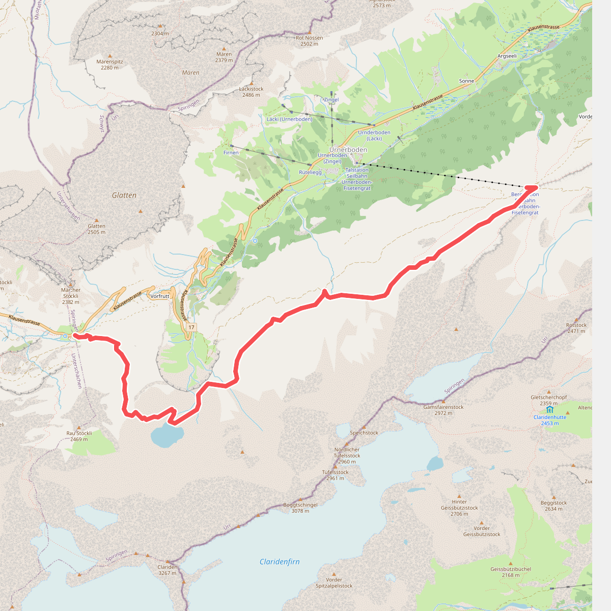
#4. Clariden Höhenweg
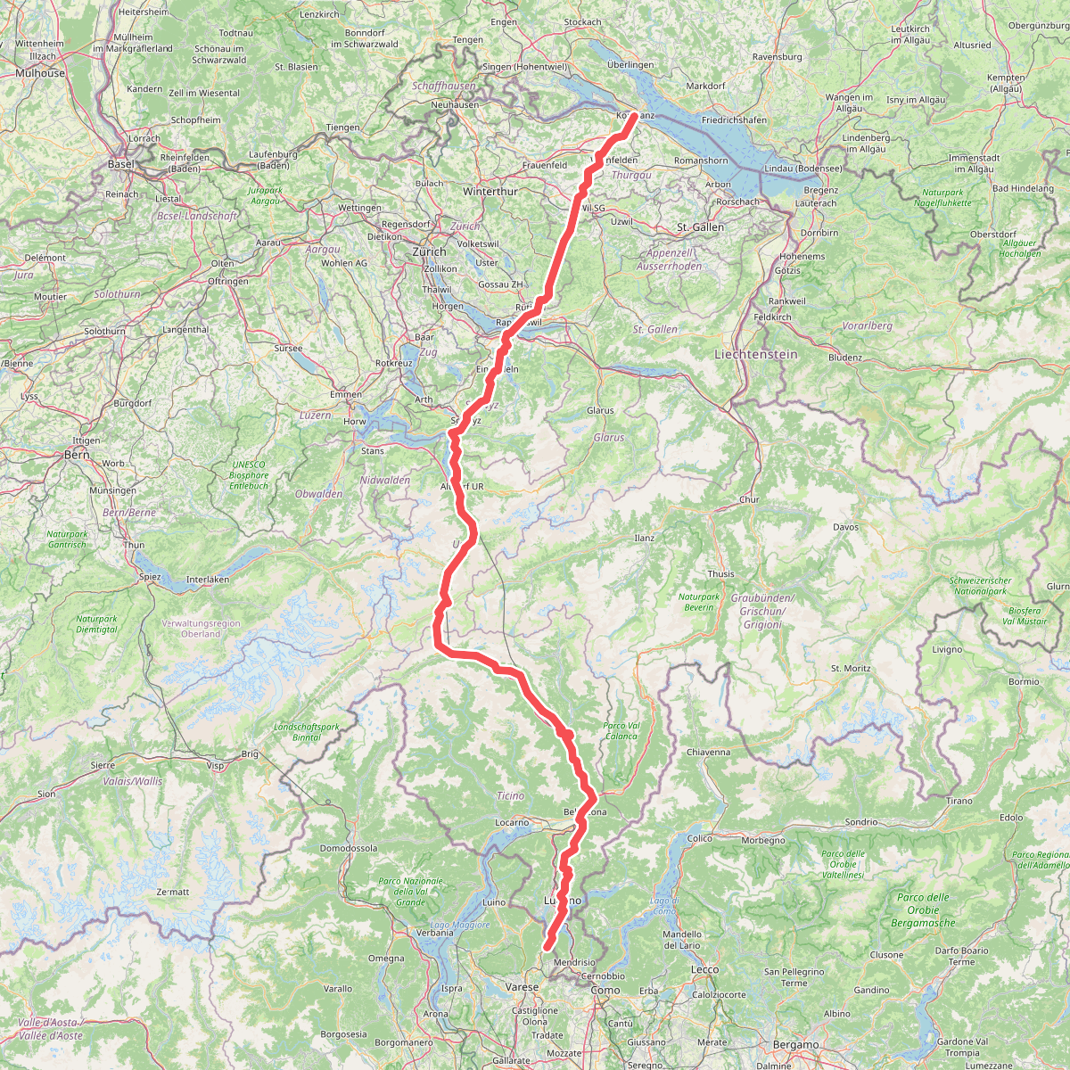
#5. European Long distance path E1 - part Switzerland
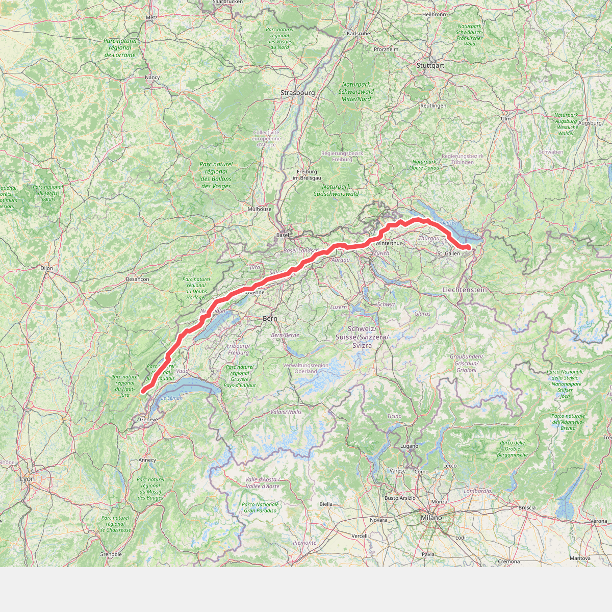
#6. European long distance path E4 - part Switzerland
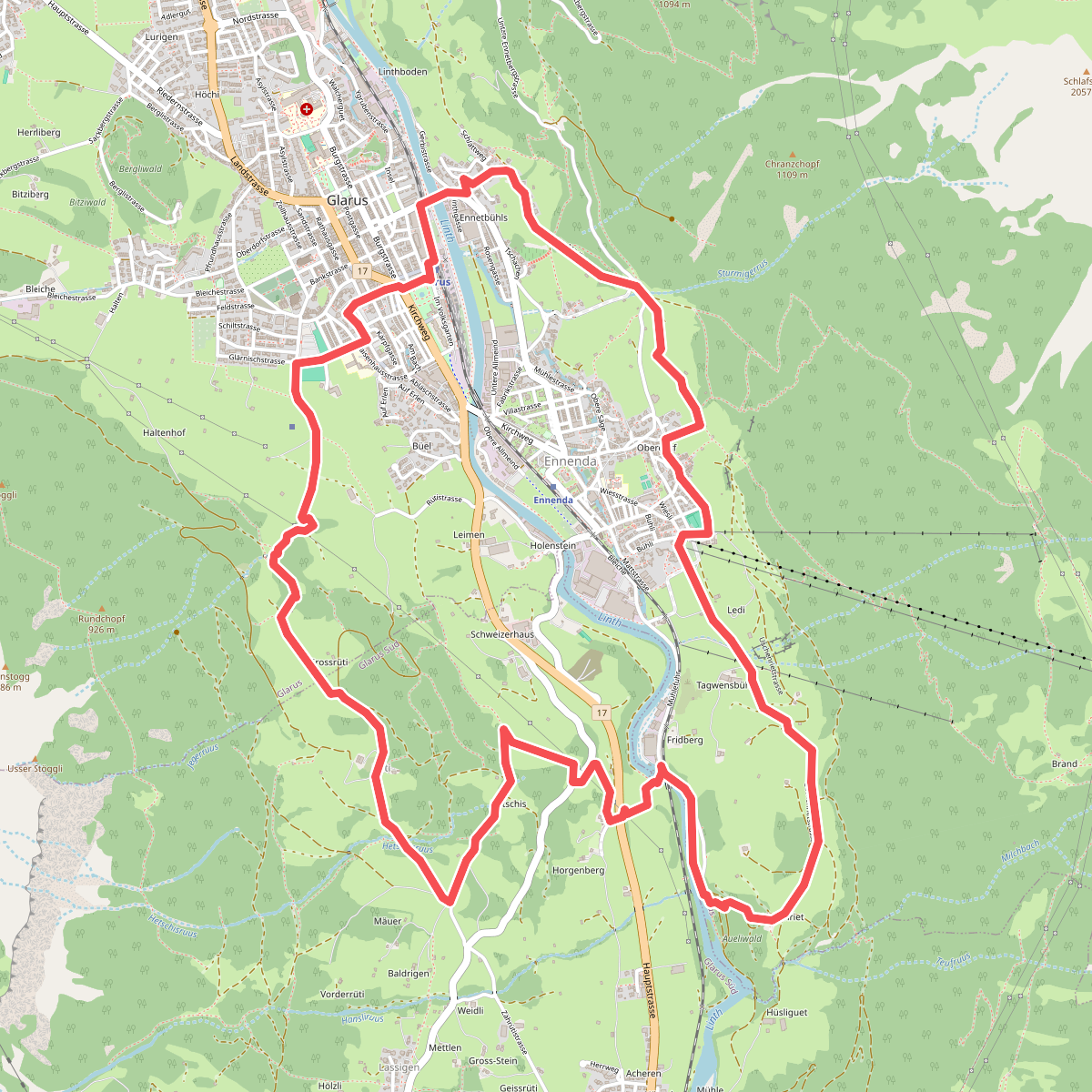
#7. Glarus-Rundweg
Glarus,Glarus Süd
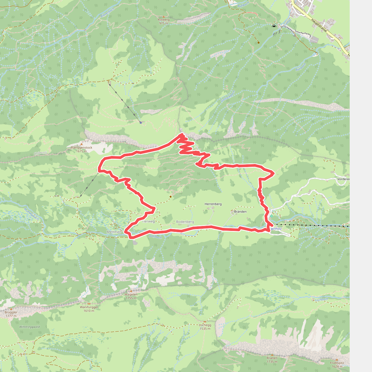
#8. Hirzli-Rundweg
Glarus Nord
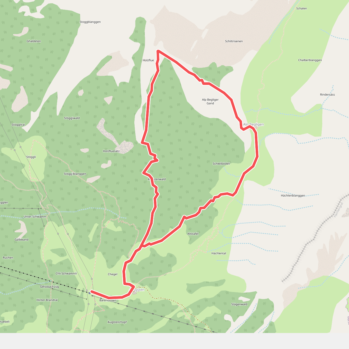
#9. Holzflue-Rundweg
Glarus
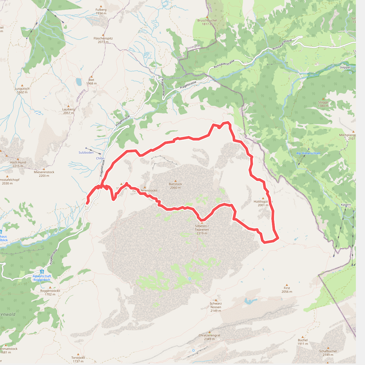
#10. Karstspur Silberen
Muotathal
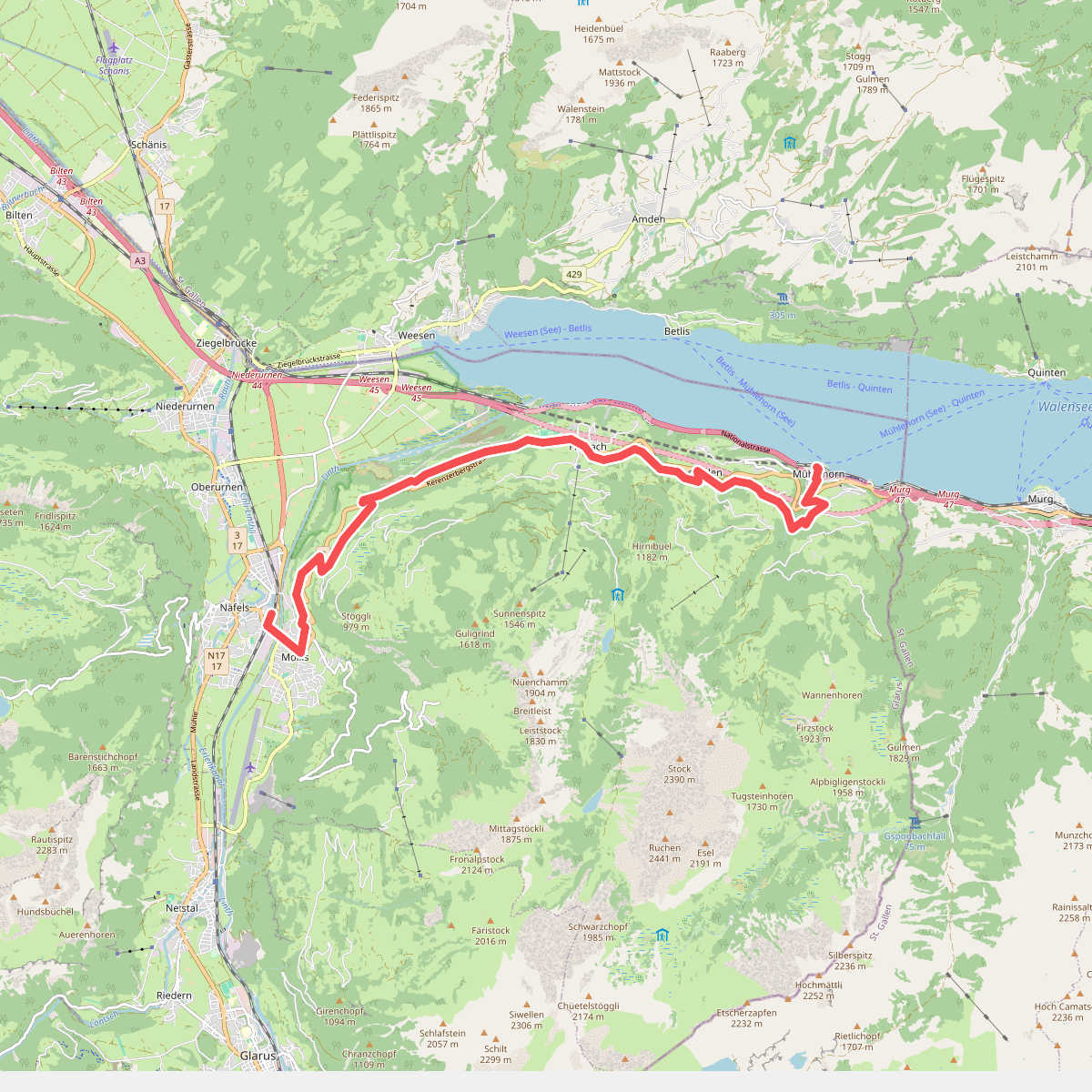
#11. Kerenzerberg Römerweg
Glarus Nord
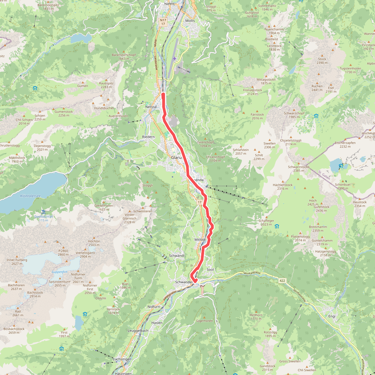
#12. Linth-Uferweg
Glarus Süd,Glarus



