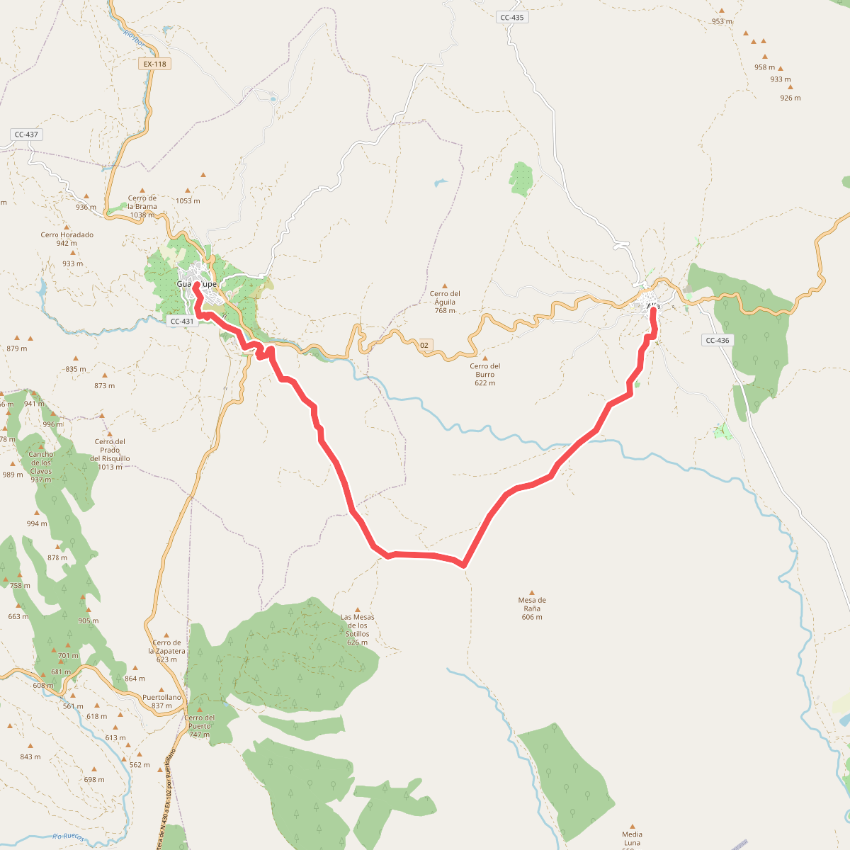
The best hiking routes in Extremadura
Discover the best walks in Extremadura. 202 routes on the map, with descriptions, photos and GPX.
About Extremadura
Extremadura offers a walking landscape shaped by centuries of extensive grazing rather than dramatic mountain climbs. You will find no high alpine peaks or deep glacial valleys here. Instead, the terrain consists of gently rolling pastures dotted with holm and cork oaks, known locally as dehesas. Underfoot, the paths are mostly hard-packed dirt tracks and gravel lanes that can turn to sticky clay after autumn rains. It is a working agricultural landscape where stone walls and livestock gates are constant features on your route.
Read more
About Extremadura
Extremadura offers a walking landscape shaped by centuries of extensive grazing rather than dramatic mountain climbs. You will find no high alpine peaks or deep glacial valleys here. Instead, the terrain consists of gently rolling pastures dotted with holm and cork oaks, known locally as dehesas. Underfoot, the paths are mostly hard-packed dirt tracks and gravel lanes that can turn to sticky clay after autumn rains. It is a working agricultural landscape where stone walls and livestock gates are constant features on your route.
Read moreExtremadura offers a walking landscape shaped by centuries of extensive grazing rather than dramatic mountain climbs. You will find no high alpine peaks or deep glacial valleys here. Instead, the terrain consists of gently rolling pastures dotted with holm and cork oaks, known locally as dehesas. Underfoot, the paths are mostly hard-packed dirt tracks and gravel lanes that can turn to sticky clay after autumn rains. It is a working agricultural landscape where stone walls and livestock gates are constant features on your route.
For those seeking rugged river canyons and vertical rock faces, Parque Nacional de Monfragüe in the north is the focal point. Here, quartzite cliffs rise abruptly above the Tagus river, providing nesting sites for large colonies of vultures that you can observe from established trail viewpoints. The walking here is concentrated along marked paths with some steep, stony ascents. In contrast, the southern borderlands offer a softer, more wooded experience where the dehesa dominates, characterized by undulating hills and wide tracks that connect old agricultural villages.
In April, the pastures are covered in wildflowers, making spring the most visually distinct time to visit before the summer heat dries the vegetation to a uniform brown. While well-known spots near the main viewpoints in Parque Nacional de Monfragüe can be busier with birdwatchers, the vast majority of the regional tracks remain quiet, shared only with local farmers and livestock.
Nature areas in Extremadura
Zoom or pan for more routes
Hiking routes in Extremadura (202)
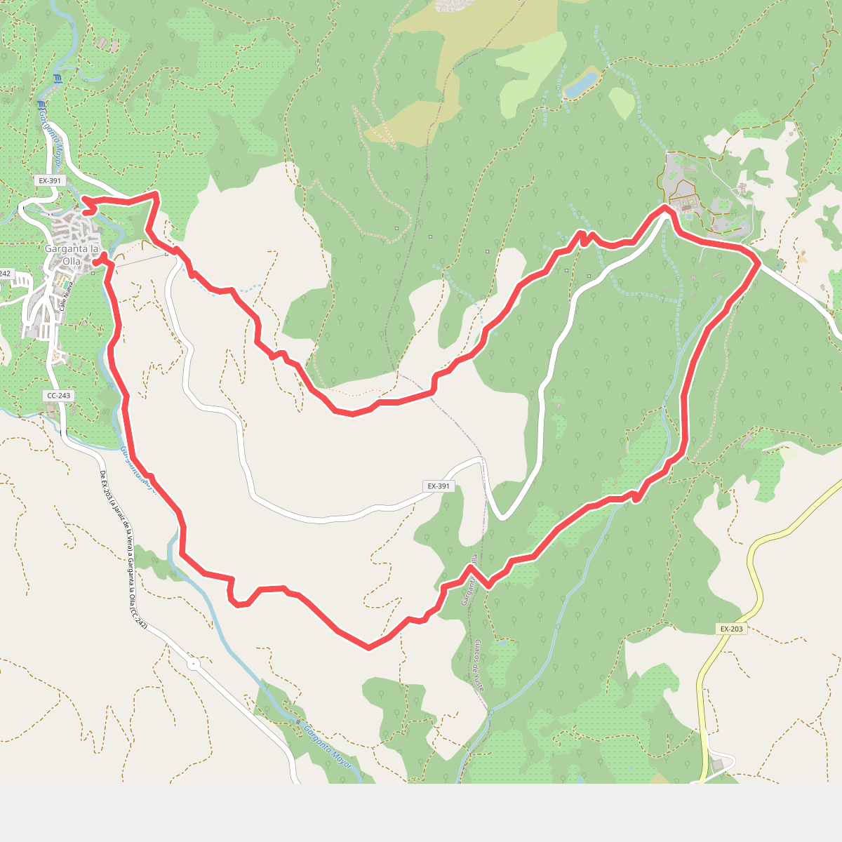
#1. Antiguo Camino a Yuste
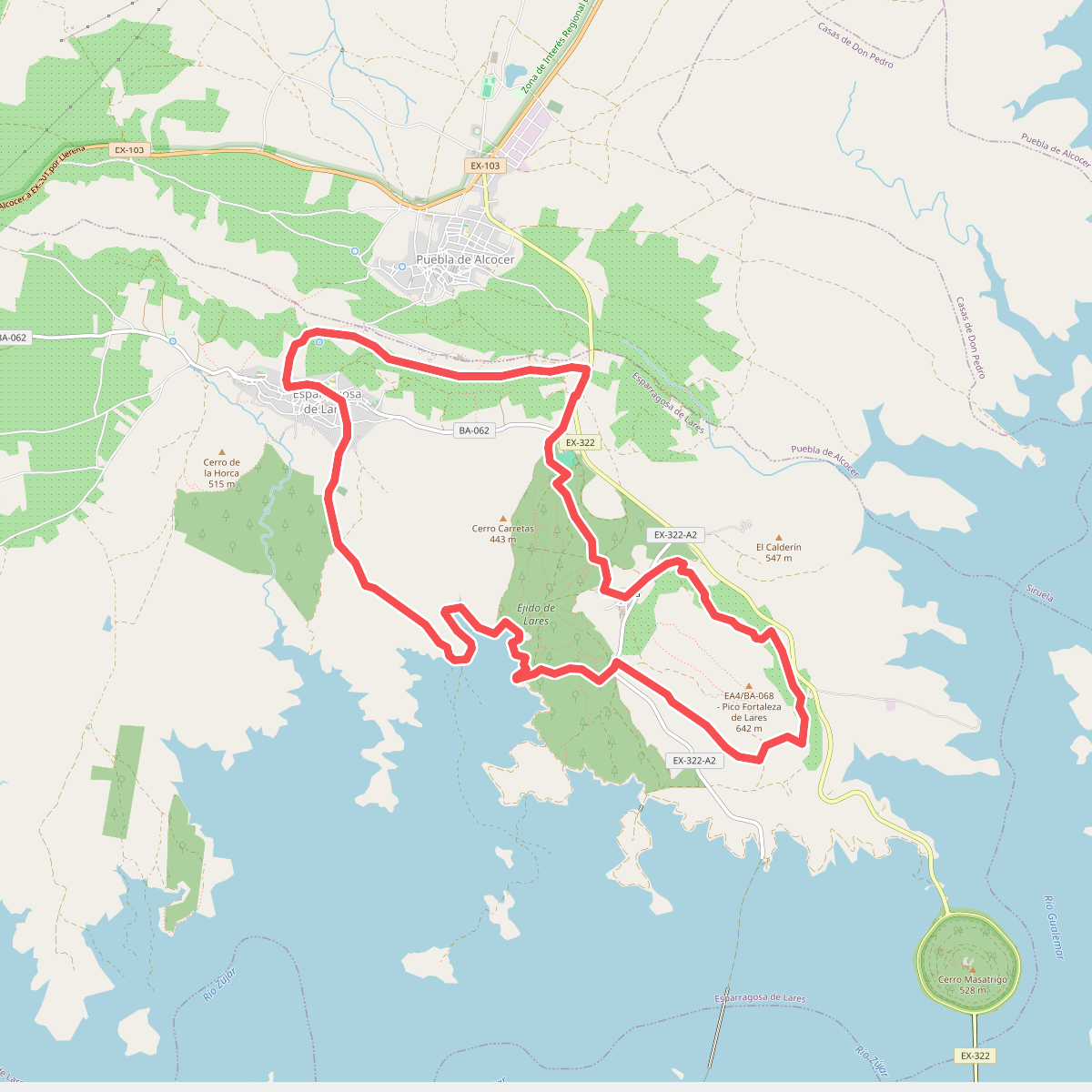
#2. Balcones de la Siberia - Serena
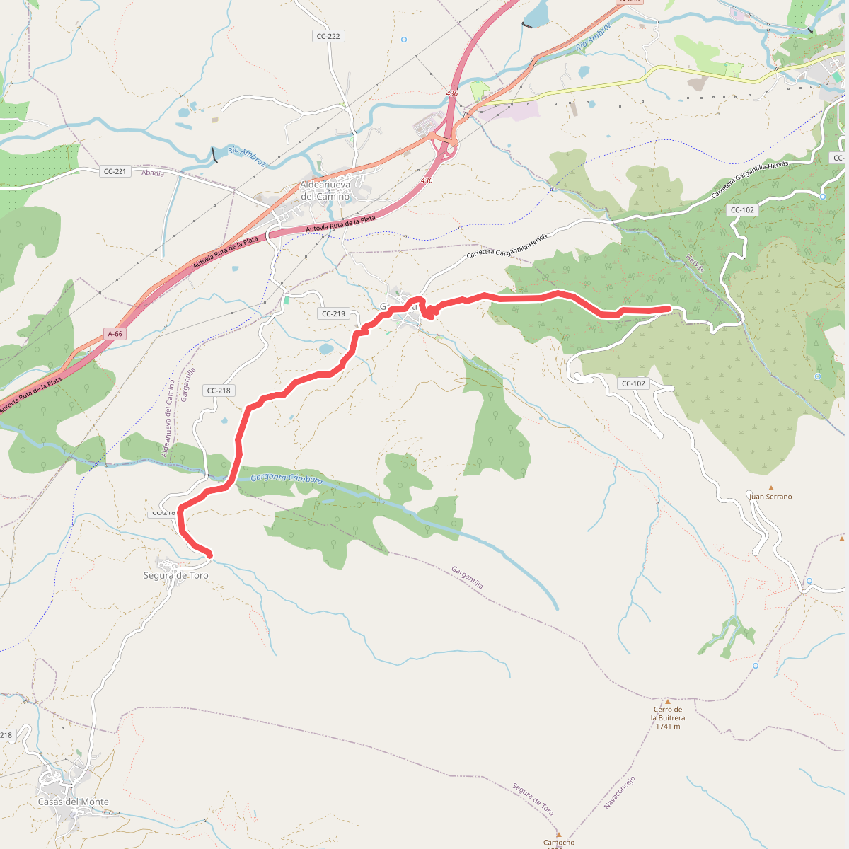
#3. Bosques del Ambroz
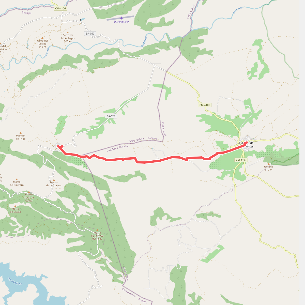
#4. Camino de Cabañeros - Etapa 2
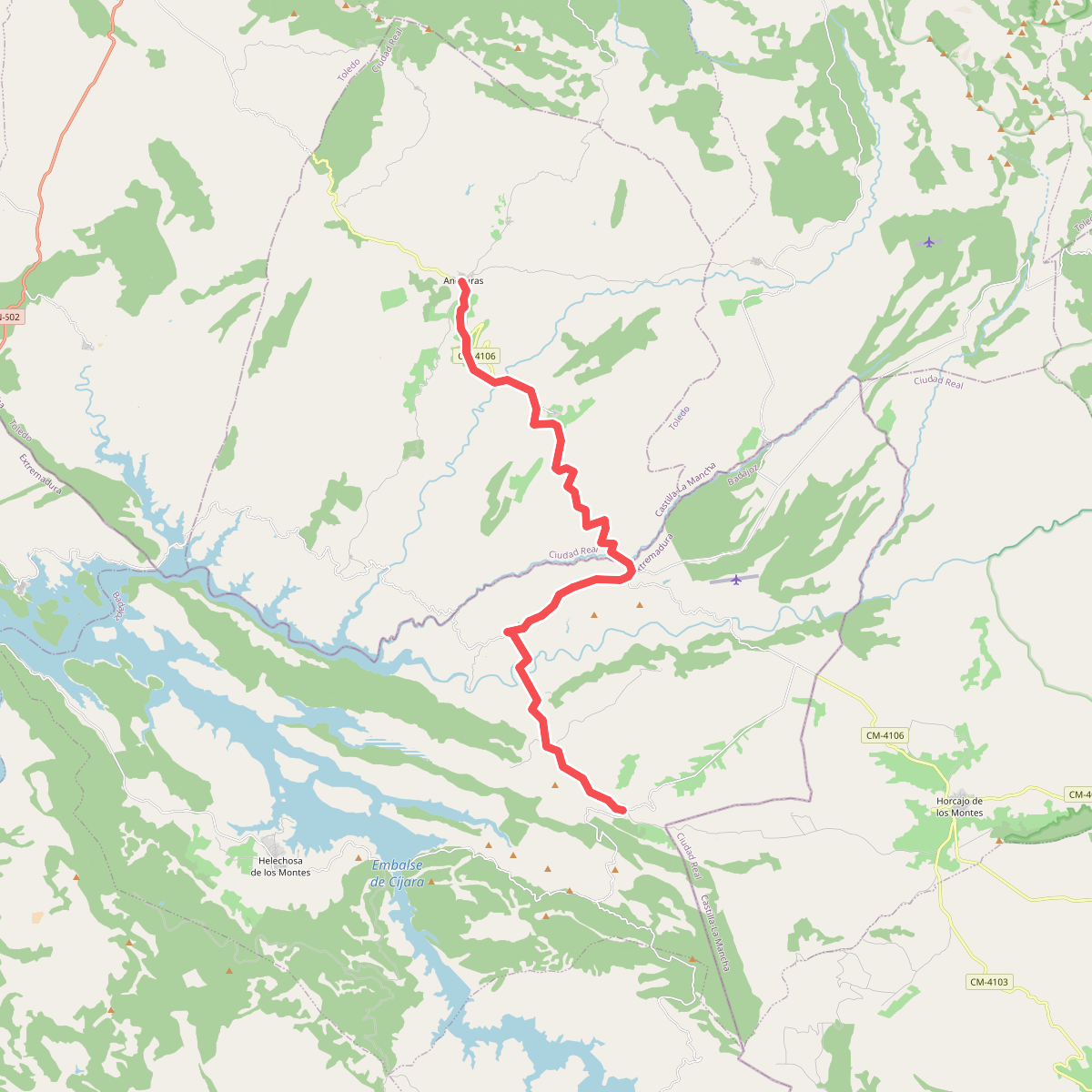
#5. Camino de Cabañeros - Etapa 3
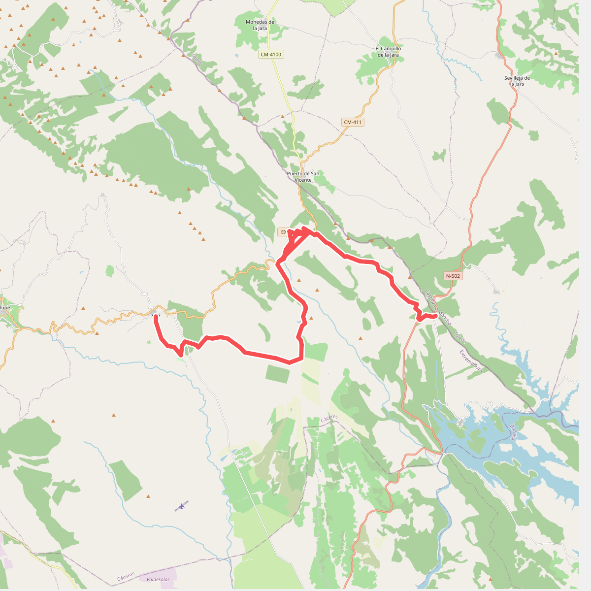
#6. Camino de Cabañeros - Etapa 5
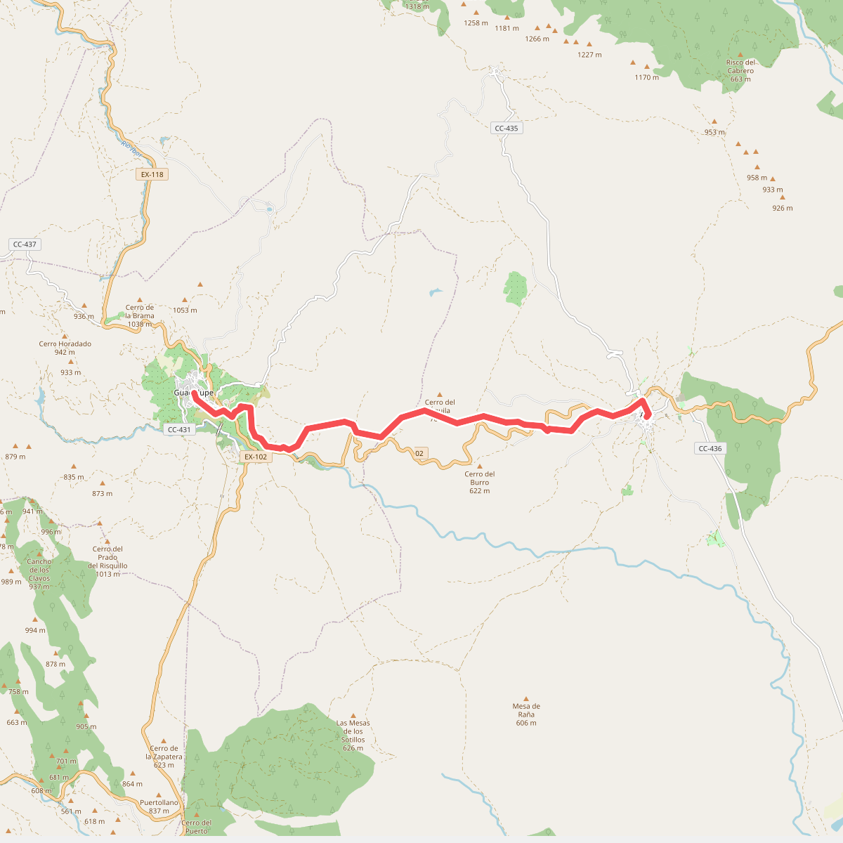
#7. Camino de Cabañeros - Etapa 6
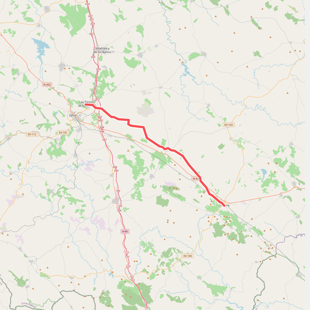
#8. Camino de la Frontera
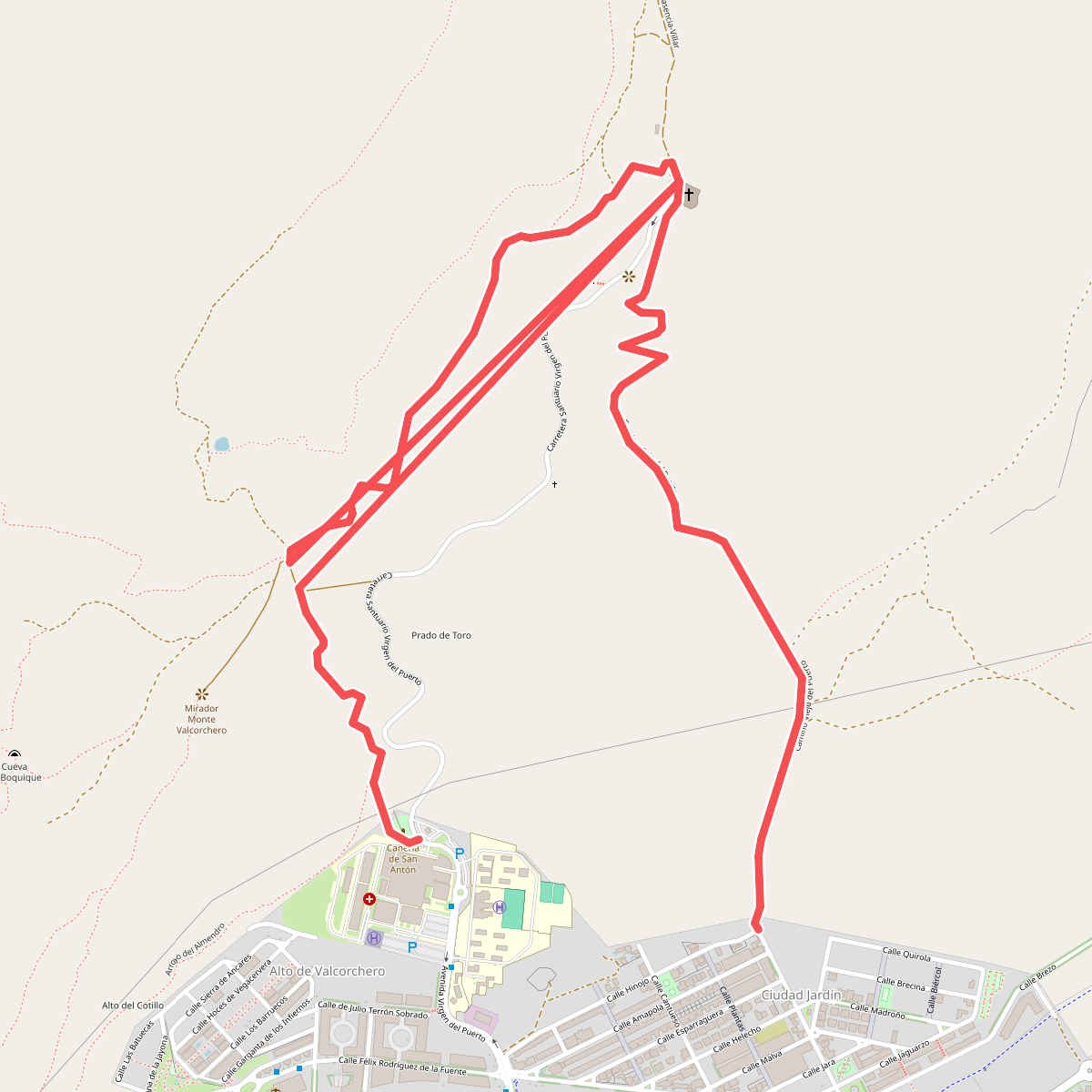
#9. Camino de la Guijosa
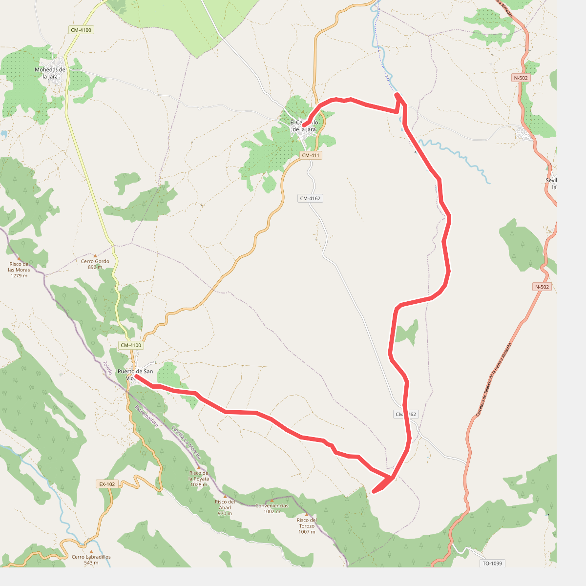
#10. Camino de la Jara - Etapa 3
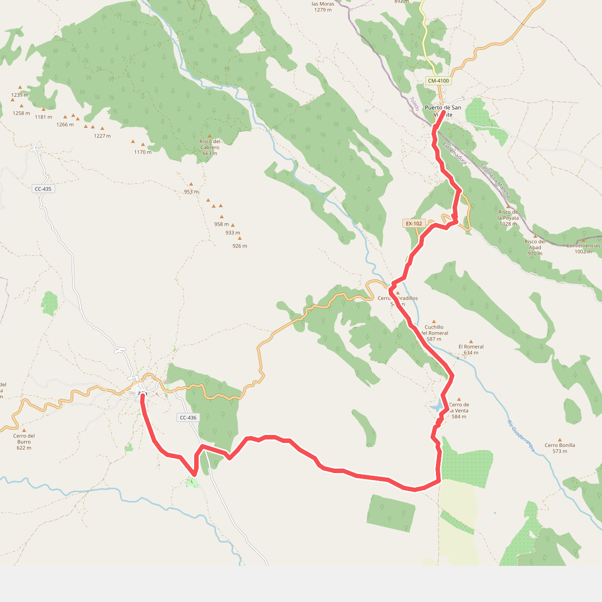
#11. Camino de la Jara - Etapa 4