The best hiking routes in Dalarna County
Discover the best walks in Dalarna County. 9 routes on the map, with descriptions, photos and GPX.
About Dalarna County
Dalarna County spans a transition from the flat, water-dominated landscapes of the south to the rocky, low-alpine plateaus of the northwest. In the southern reaches, Färnebofjärden national park consists of a wide river basin where seasonal flooding shapes the shoreline forests. Walking here means navigating flat, often damp forest paths and wooden boardwalks over inlets. Further south, Malingsbo-Klotens naturvårdsområde offers a denser, hilly forest terrain dominated by spruce, pine, and quiet lakes, where the underfoot is mostly soft pine needles and dirt tracks.
Read more
About Dalarna County
Dalarna County spans a transition from the flat, water-dominated landscapes of the south to the rocky, low-alpine plateaus of the northwest. In the southern reaches, Färnebofjärden national park consists of a wide river basin where seasonal flooding shapes the shoreline forests. Walking here means navigating flat, often damp forest paths and wooden boardwalks over inlets. Further south, Malingsbo-Klotens naturvårdsområde offers a denser, hilly forest terrain dominated by spruce, pine, and quiet lakes, where the underfoot is mostly soft pine needles and dirt tracks.
Read moreDalarna County spans a transition from the flat, water-dominated landscapes of the south to the rocky, low-alpine plateaus of the northwest. In the southern reaches, Färnebofjärden national park consists of a wide river basin where seasonal flooding shapes the shoreline forests. Walking here means navigating flat, often damp forest paths and wooden boardwalks over inlets. Further south, Malingsbo-Klotens naturvårdsområde offers a denser, hilly forest terrain dominated by spruce, pine, and quiet lakes, where the underfoot is mostly soft pine needles and dirt tracks.
Moving northwest toward the Norwegian border, the terrain rises into the barren sandstone plateau of Fulufjället. Here, the landscape is defined by steep canyon walls, blocky boulder fields, and the high-altitude tundra of the plateau, where walkers encounter stony paths and dwarf shrubs. This area lacks the jagged peaks of higher mountain ranges, offering instead wide, flat-topped hills. Nearby, Töfsingdalen national park presents a much rougher, trackless wilderness of ancient pine forest growing directly out of giant boulder fields, making walking slow and demanding.
In these northern parts, the ground is often covered in grey reindeer lichen and low bilberry shrubs, reflecting the nutrient-poor soil and cold climate. The paths in well-known spots like Fulufjället are well-marked and can be busier, whereas the boulder-strewn terrain of Töfsingdalen is often quieter due to its difficult access. September brings autumn colours to the birch trees and dwarf shrubs before the early winter snows arrive.
Nature areas in Dalarna County
Zoom or pan for more routes
Hiking routes in Dalarna County (9)
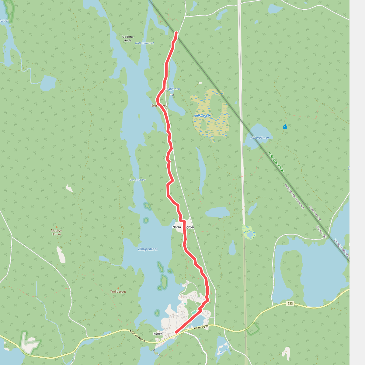
#1. Connector border Örebrö län/Dalarnas län - Bergslagsleden
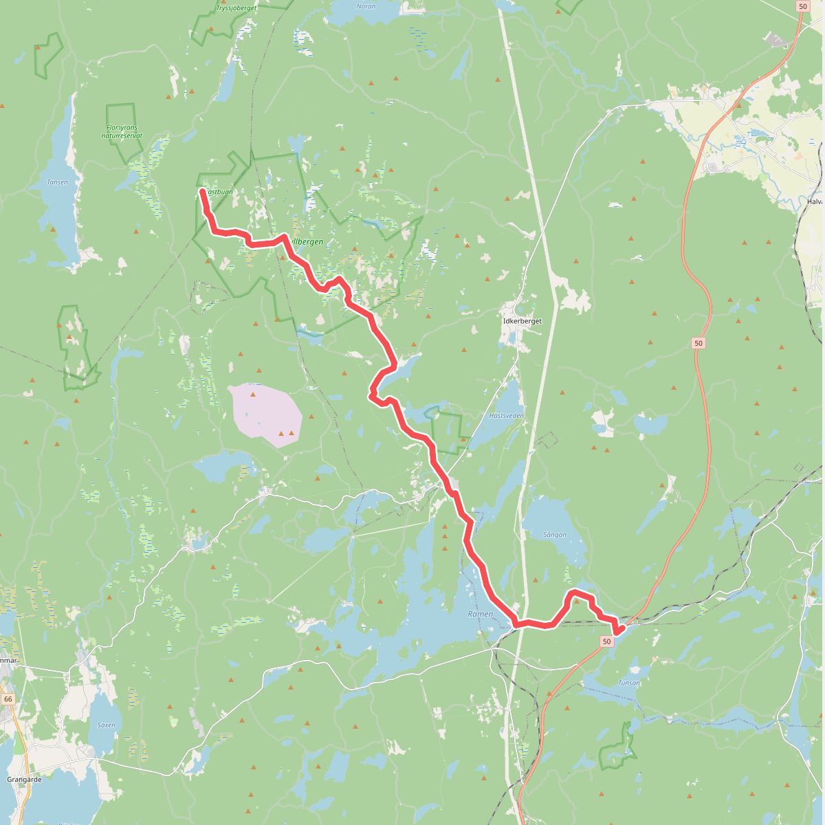
#2. Connector Gagnefs fäbodstigar - Sméleden
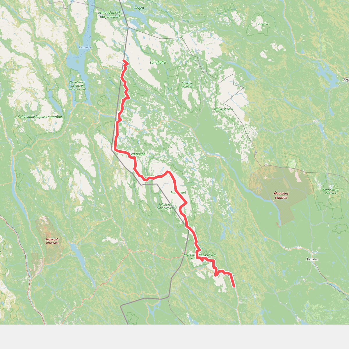
#3. Connector Norwegian/Swedish border - Vasaloppsleden
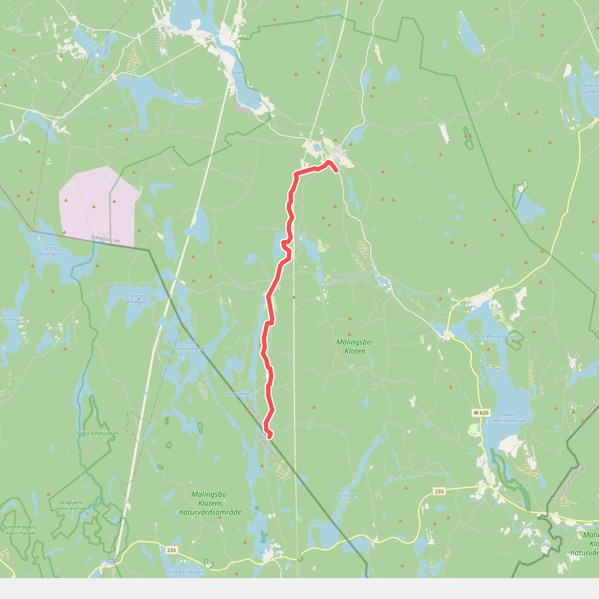
#4. Connector Sméleden - border Dalarnas län/Örebro län
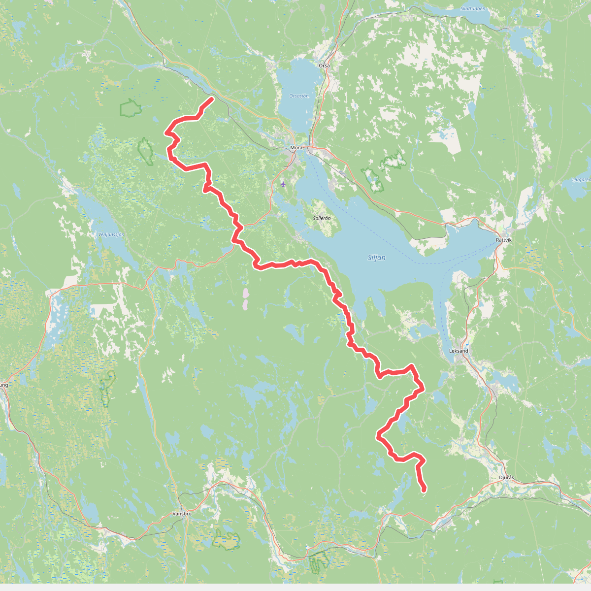
#5. Connector Vasaloppsleden - Gagnefs fäbodstigar
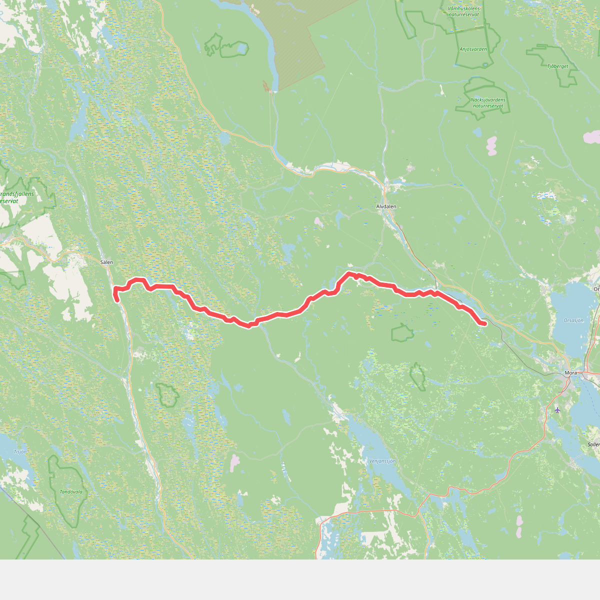
#6. E1 hiking section of Vasaloppsleden
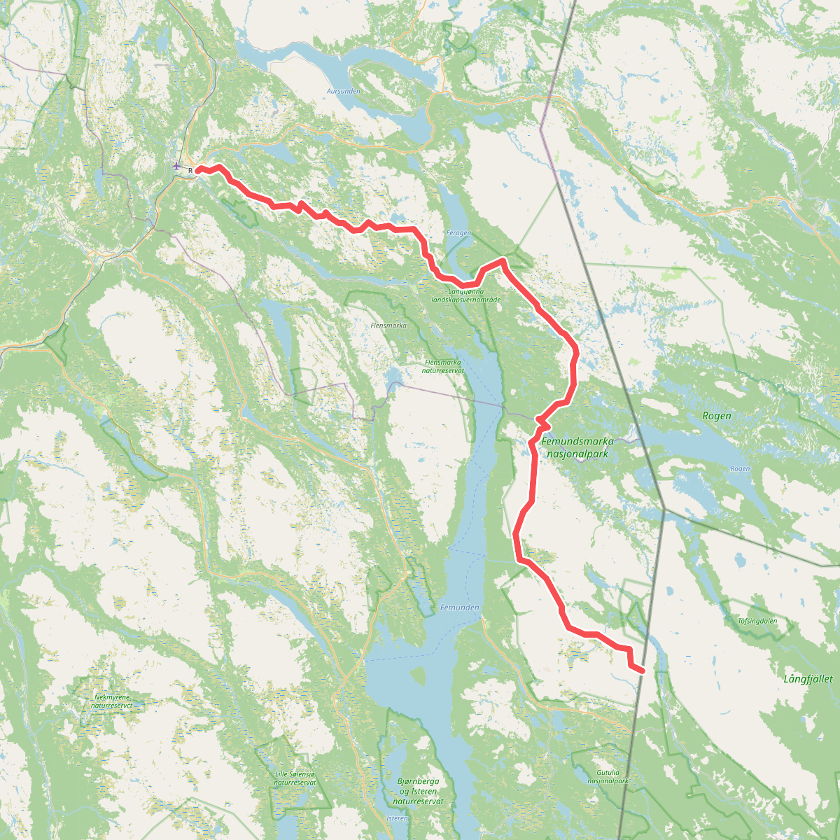
#7. European Long distance path E1 - Norway, Hedmark
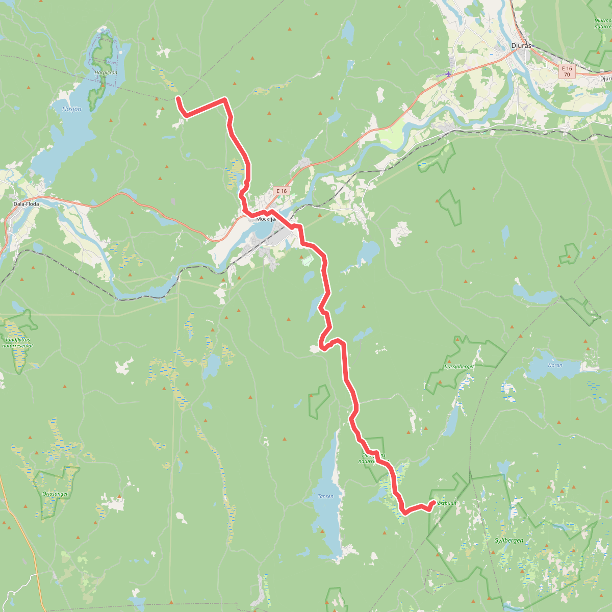
#8. Gagnefs fäbodstigar