The best hiking routes in Csongrád-Csanád
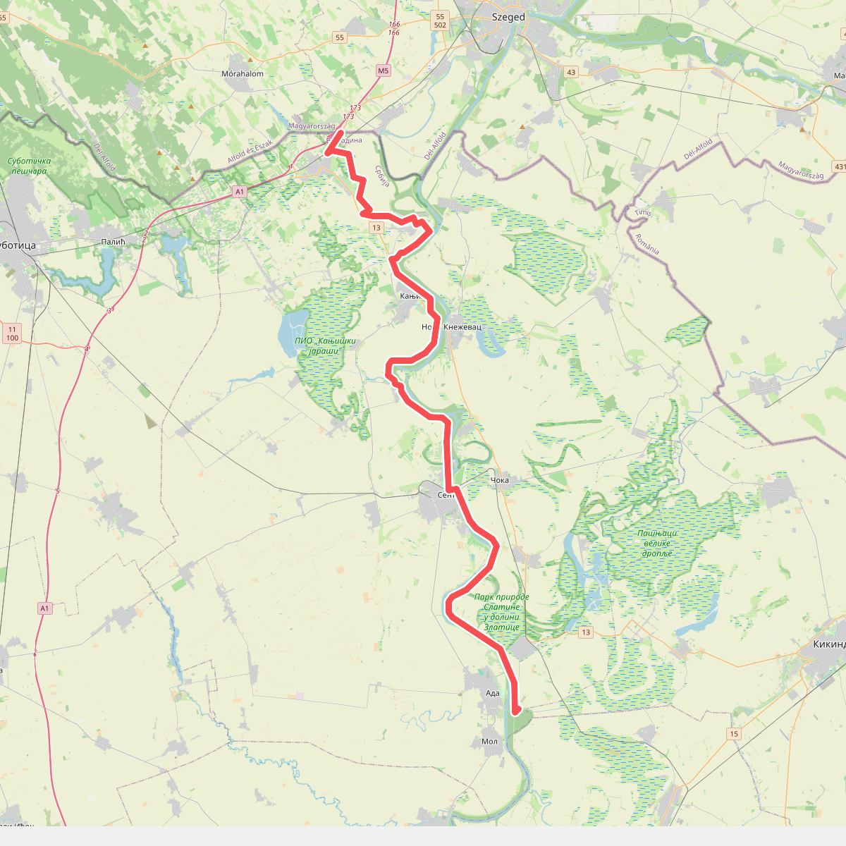
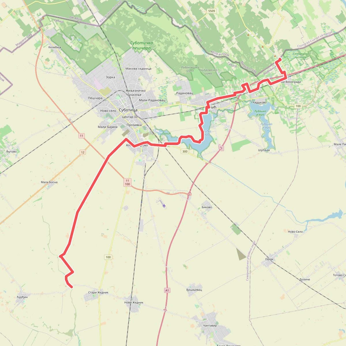
Discover the best walks in Csongrád-Csanád. 2 routes on the map, with descriptions, photos and GPX.
About Csongrád-Csanád
Csongrád-Csanád sits in the flat southern reaches of Hungary, where the landscape is defined by vast agricultural plains, quiet river corridors, and pockets of sandy terrain. You will not find any hills, deep valleys, or rocky ridges here. Instead, walking in this region means navigating a low-lying terrain shaped by the Tisza River and historical land reclamation. The paths underfoot are predominantly soft sand, dirt tracks, and grassy embankments, which can feel soft or uneven depending on the local soil composition.
Read more
About Csongrád-Csanád
Csongrád-Csanád sits in the flat southern reaches of Hungary, where the landscape is defined by vast agricultural plains, quiet river corridors, and pockets of sandy terrain. You will not find any hills, deep valleys, or rocky ridges here. Instead, walking in this region means navigating a low-lying terrain shaped by the Tisza River and historical land reclamation. The paths underfoot are predominantly soft sand, dirt tracks, and grassy embankments, which can feel soft or uneven depending on the local soil composition.
Read moreCsongrád-Csanád sits in the flat southern reaches of Hungary, where the landscape is defined by vast agricultural plains, quiet river corridors, and pockets of sandy terrain. You will not find any hills, deep valleys, or rocky ridges here. Instead, walking in this region means navigating a low-lying terrain shaped by the Tisza River and historical land reclamation. The paths underfoot are predominantly soft sand, dirt tracks, and grassy embankments, which can feel soft or uneven depending on the local soil composition.
For a distinct walking experience, the border region near the protected area of Суботичка пешчара offers a transition into a dry, sandy landscape. This area is characterized by inland dunes, planted pine woods, and remnants of oak forests, contrasting sharply with the wet, fertile floodplains found closer to the Tisza River. In October, the foliage in these sandy woodlands turns a deep rust color, making it a particularly notable time to observe the changing vegetation.
Choosing where to walk depends on your preference for open agricultural tracks or more enclosed woodland paths. The river dikes provide elevated, straightforward walking routes with wide views over the fields, while the sandy stretches of Суботичка пешчара offer more sheltered, winding paths through the trees. Expect a quiet, agricultural landscape where the main variations come from the shift between sandy soils and river clay rather than changes in elevation.
Nature areas in Csongrád-Csanád
Zoom or pan for more routes