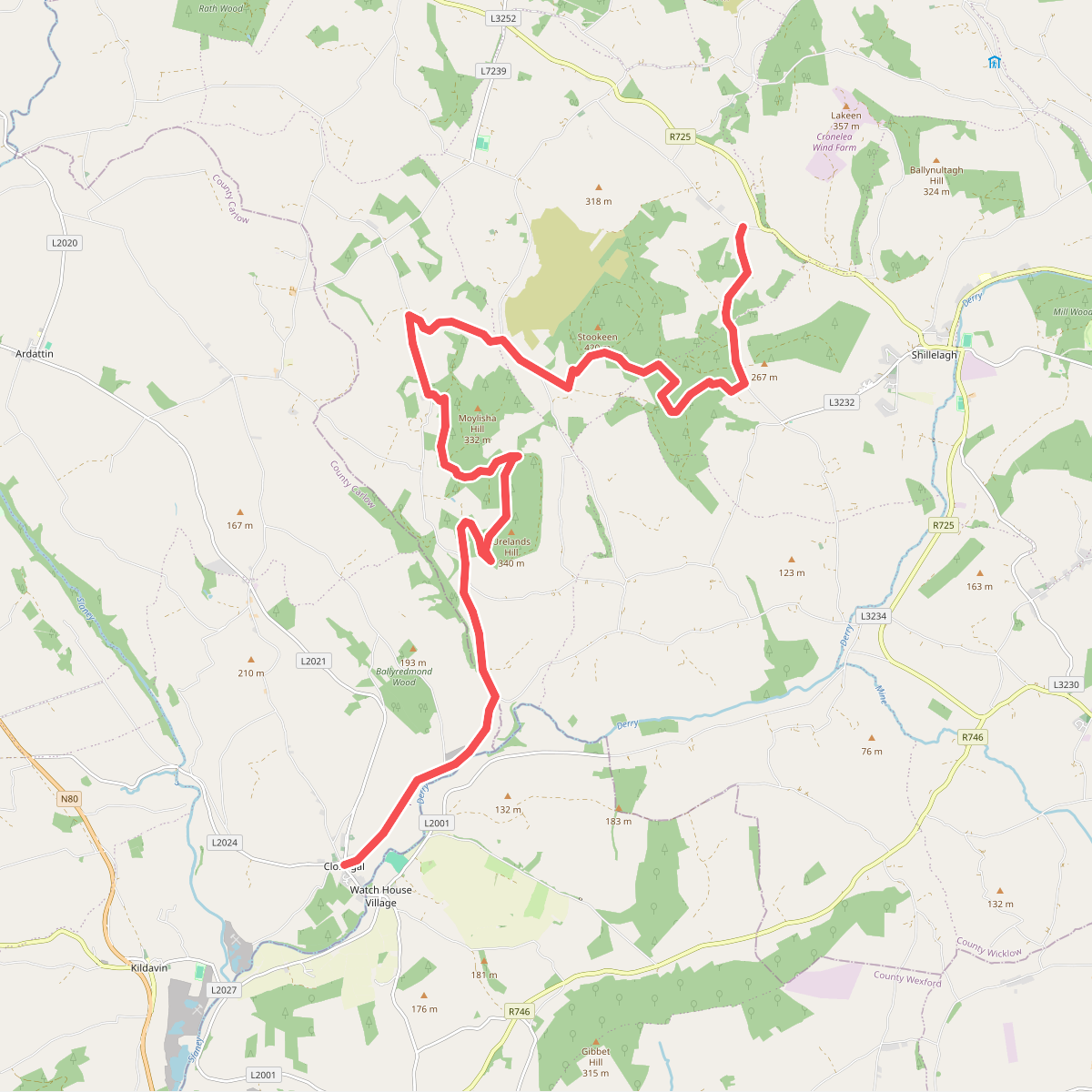
The best hiking routes in County Wicklow
Discover the best walks in County Wicklow. 47 routes on the map, with descriptions, photos and GPX.
About County Wicklow
County Wicklow presents a landscape of stark contrasts, defined by a high granite plateau that has been worn down into broad, rounded ridges. In the interior, Wicklow Mountains National Park dominates with its vast expanses of blanket bog, where the ground underfoot consists of deep peat and heather, often requiring wooden boardwalks to navigate. This open upland lacks the sharp, jagged peaks of younger mountain ranges, offering instead a rolling, exposed terrain where the vegetation is kept low by the acidic soil.
Read more
About County Wicklow
County Wicklow presents a landscape of stark contrasts, defined by a high granite plateau that has been worn down into broad, rounded ridges. In the interior, Wicklow Mountains National Park dominates with its vast expanses of blanket bog, where the ground underfoot consists of deep peat and heather, often requiring wooden boardwalks to navigate. This open upland lacks the sharp, jagged peaks of younger mountain ranges, offering instead a rolling, exposed terrain where the vegetation is kept low by the acidic soil.
Read moreCounty Wicklow presents a landscape of stark contrasts, defined by a high granite plateau that has been worn down into broad, rounded ridges. In the interior, Wicklow Mountains National Park dominates with its vast expanses of blanket bog, where the ground underfoot consists of deep peat and heather, often requiring wooden boardwalks to navigate. This open upland lacks the sharp, jagged peaks of younger mountain ranges, offering instead a rolling, exposed terrain where the vegetation is kept low by the acidic soil.
In contrast to the barren heights, deep glacial valleys cut through the granite. Glendalough, the most famous of these valleys within the national park, features two deep lakes flanked by steep, forested slopes and historic stone ruins. While these valley floors provide firm gravel paths and sheltered walking under oak canopies, they attract the majority of visitors, whereas the surrounding peat hags and high ridges remain much quieter.
Walkers should choose their routes based on these distinct terrains. The lower valley tracks offer straightforward navigation and shelter, while ascending onto the open bog demands navigation skills as the tracks can fade into the heather. In August, the hillsides turn a deep purple as the heather blooms, transforming the otherwise muted brown and green tones of the peatlands.
Nature areas in County Wicklow
Zoom or pan for more routes
Hiking routes in County Wicklow (47)
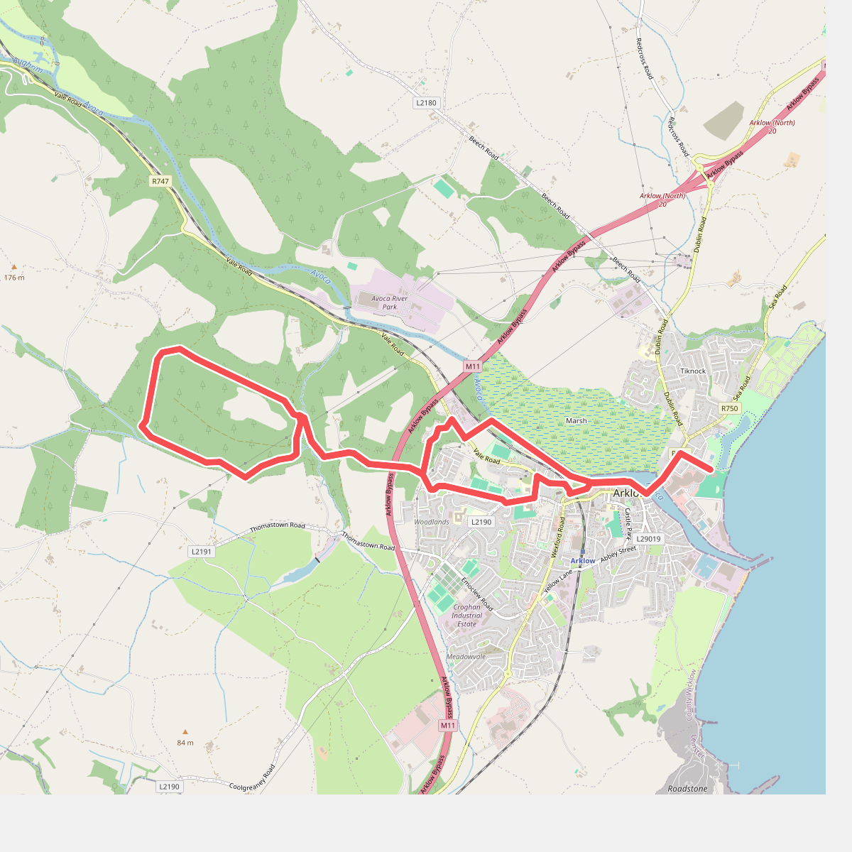
#1. Arklow Loops Glenart Walk
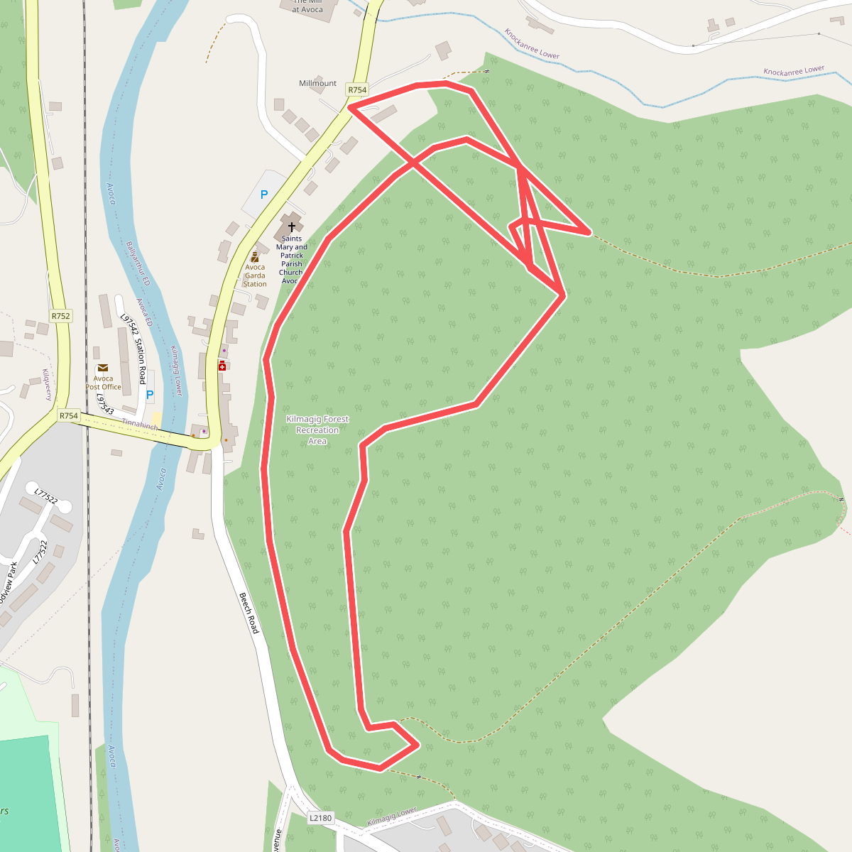
#2. Avoca Red Kite Walk
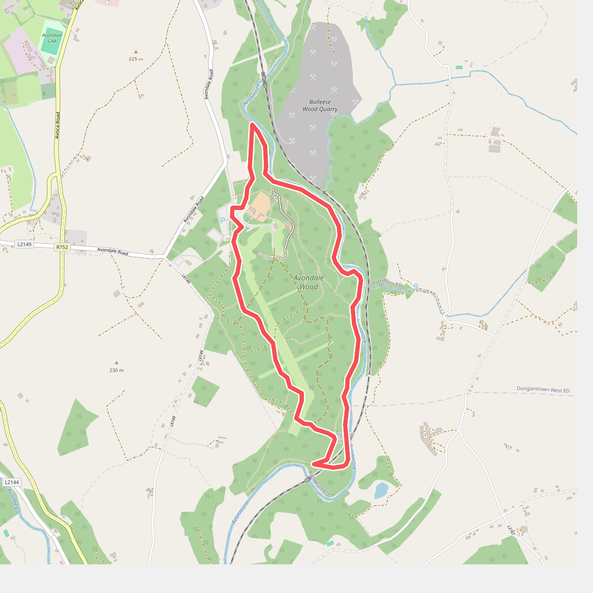
#3. Avondale Forest Park - River Walk
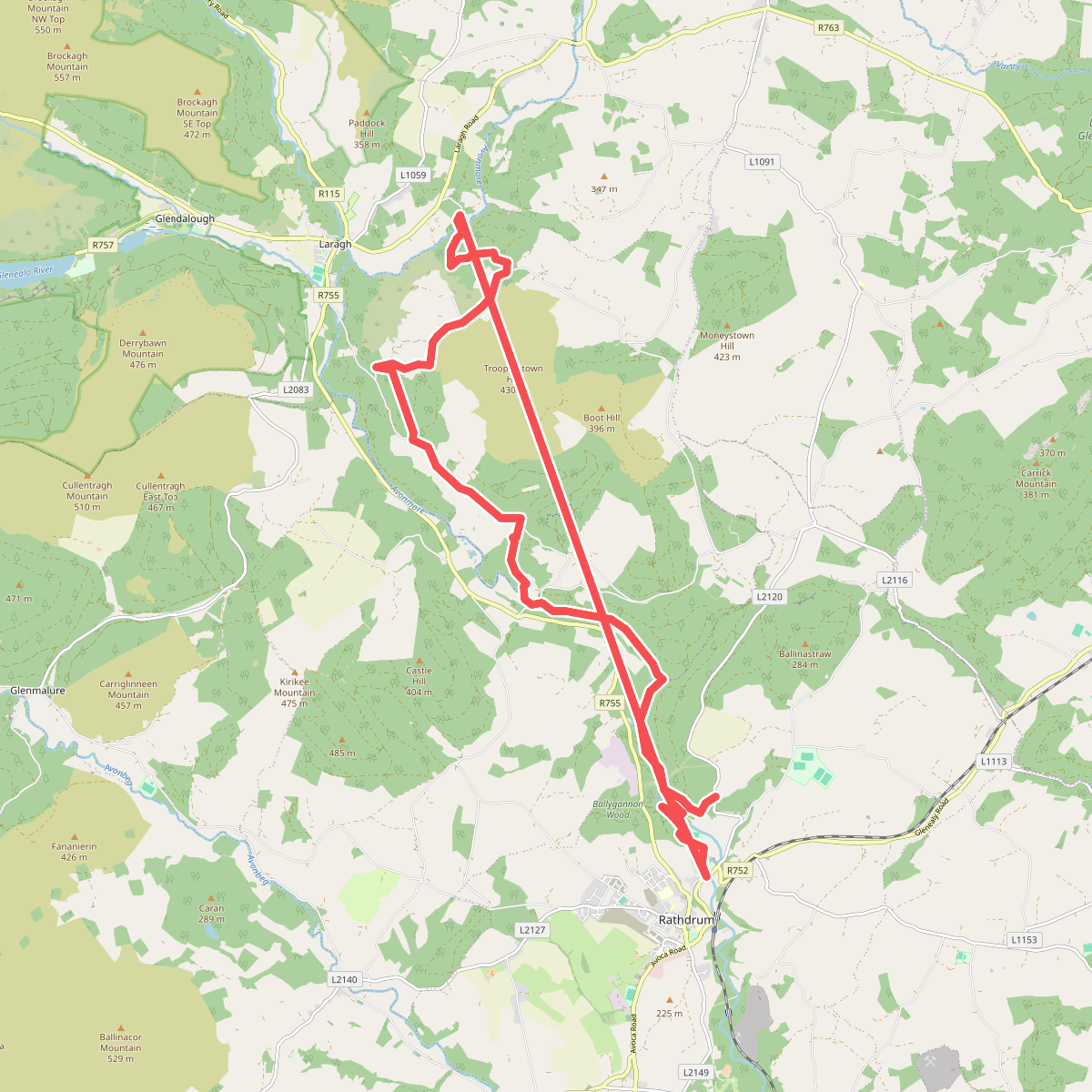
#4. Avonmore Way
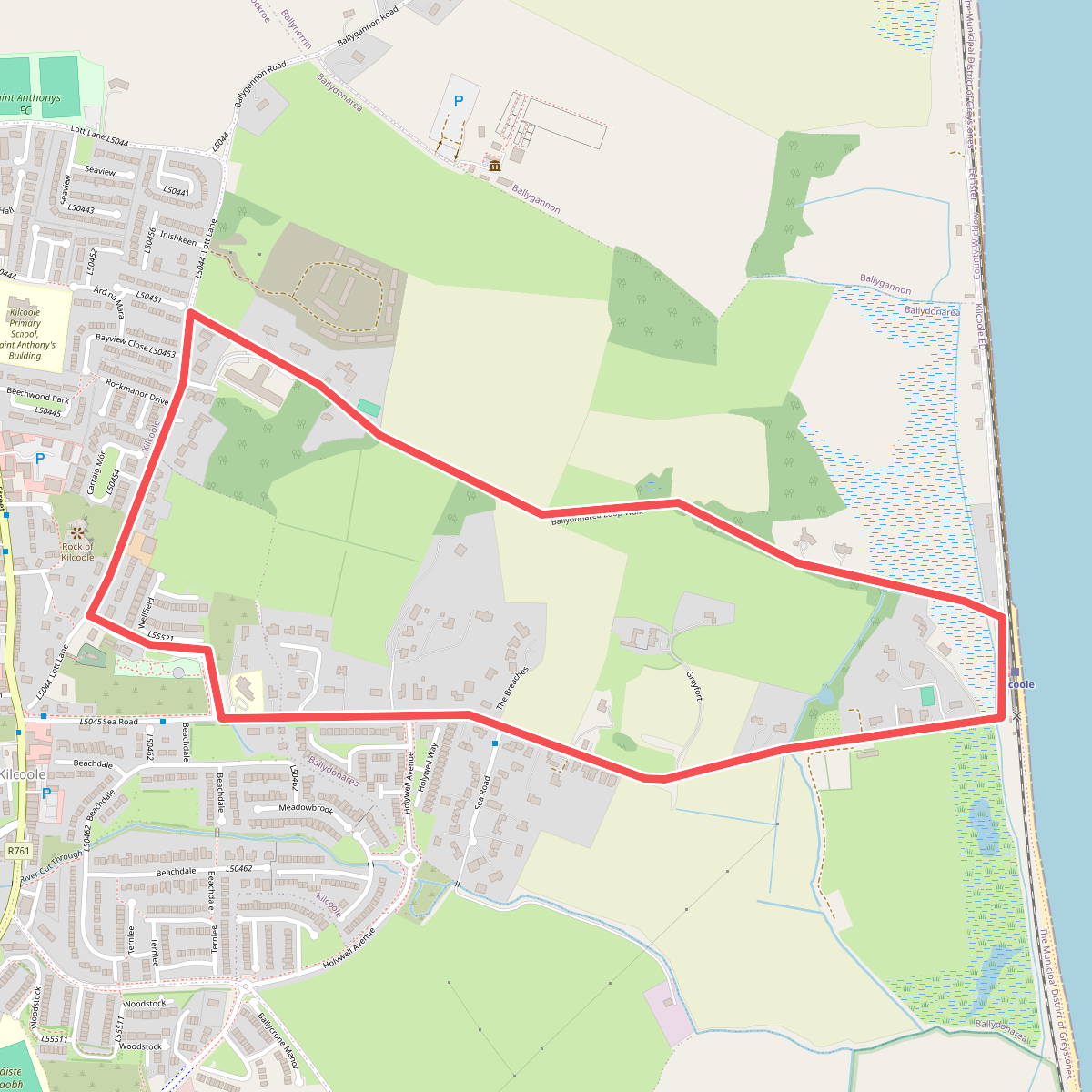
#5. Ballydonarea Loop Walk
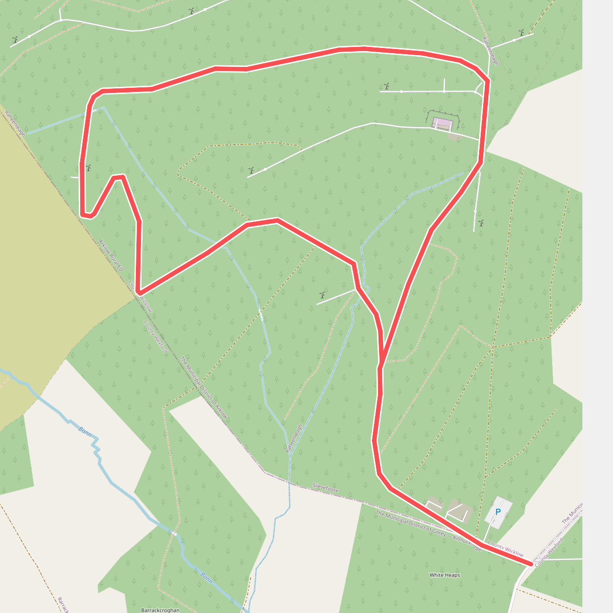
#6. Bann River Trail
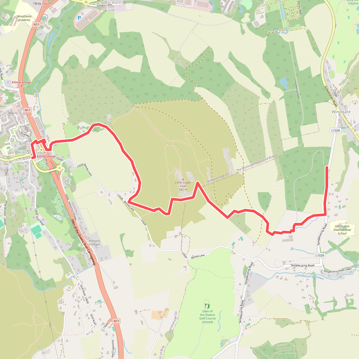
#7. Belmont Way
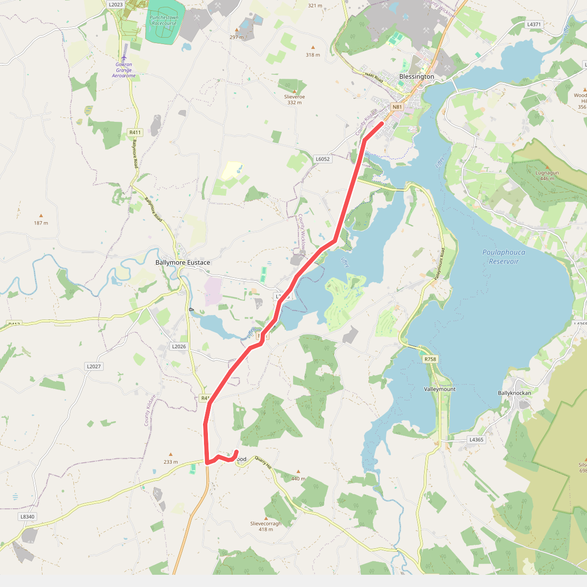
#8. Blessington to Hollywood Village
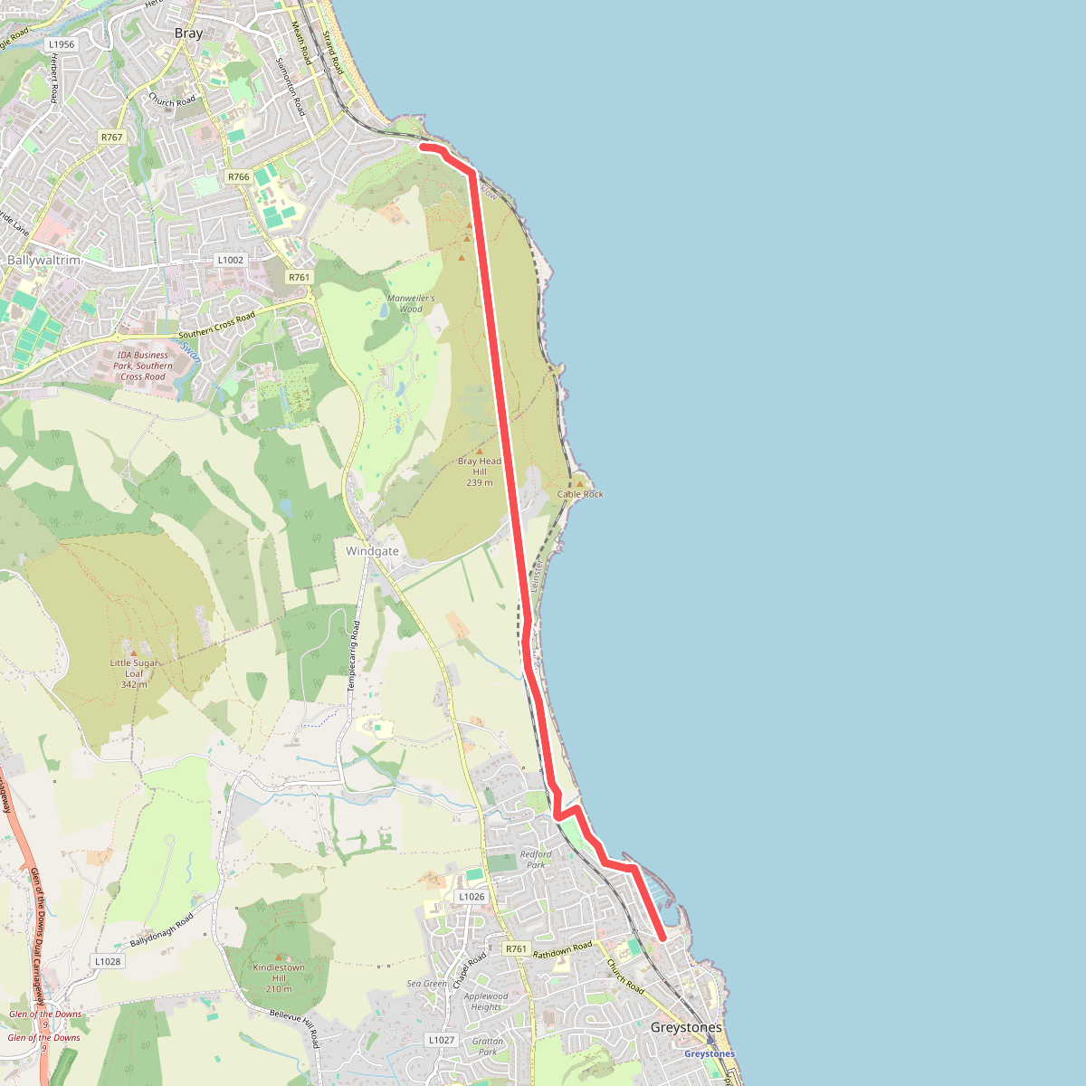
#9. Bray Greystones Cliff Walk
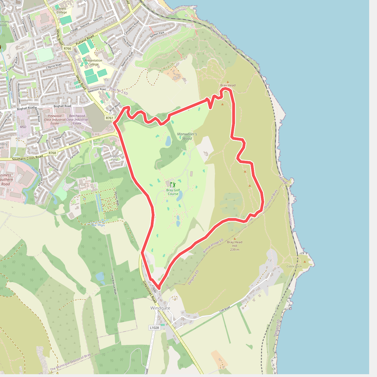
#10. Bray Head Loop
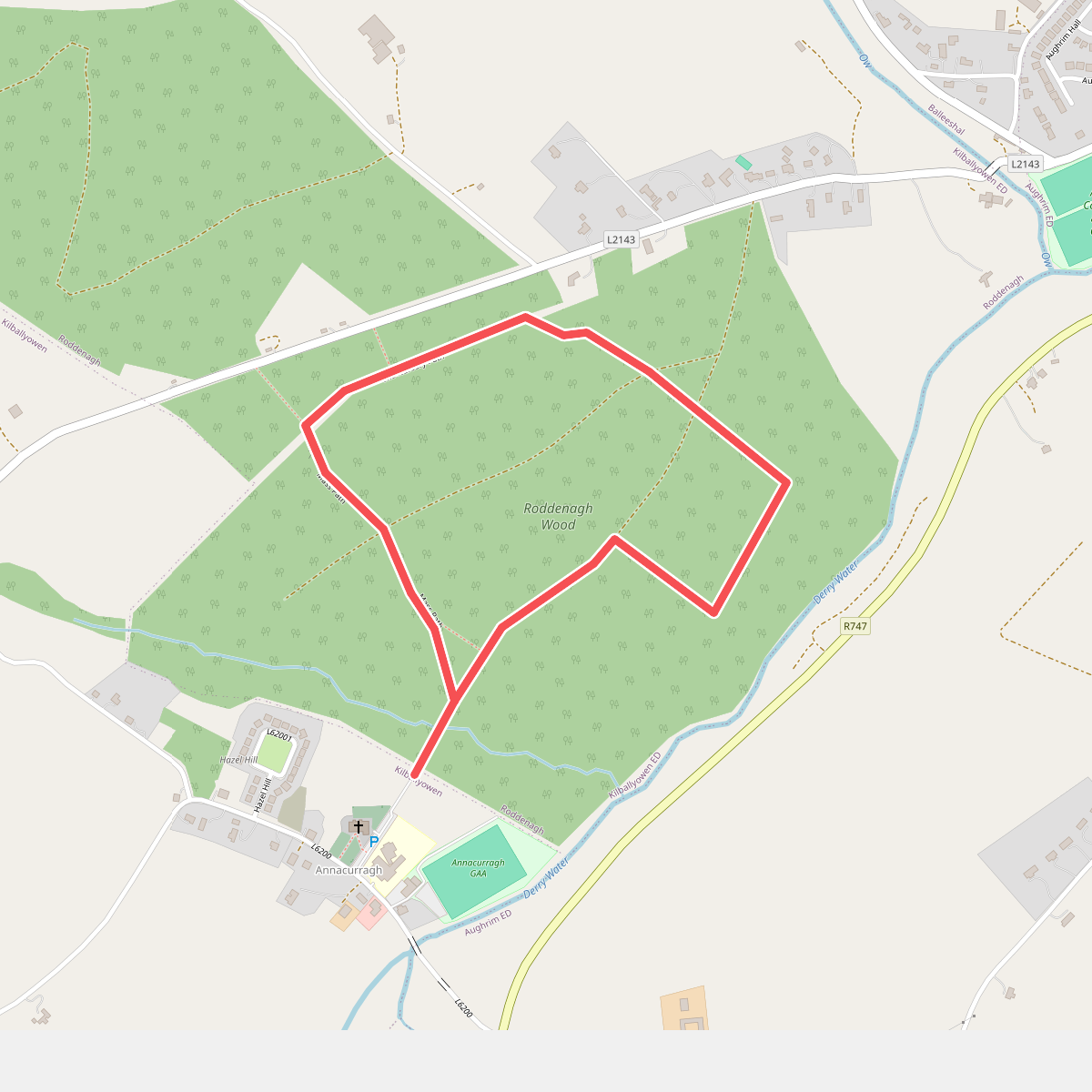
#11. Ciaran Shannon Walk