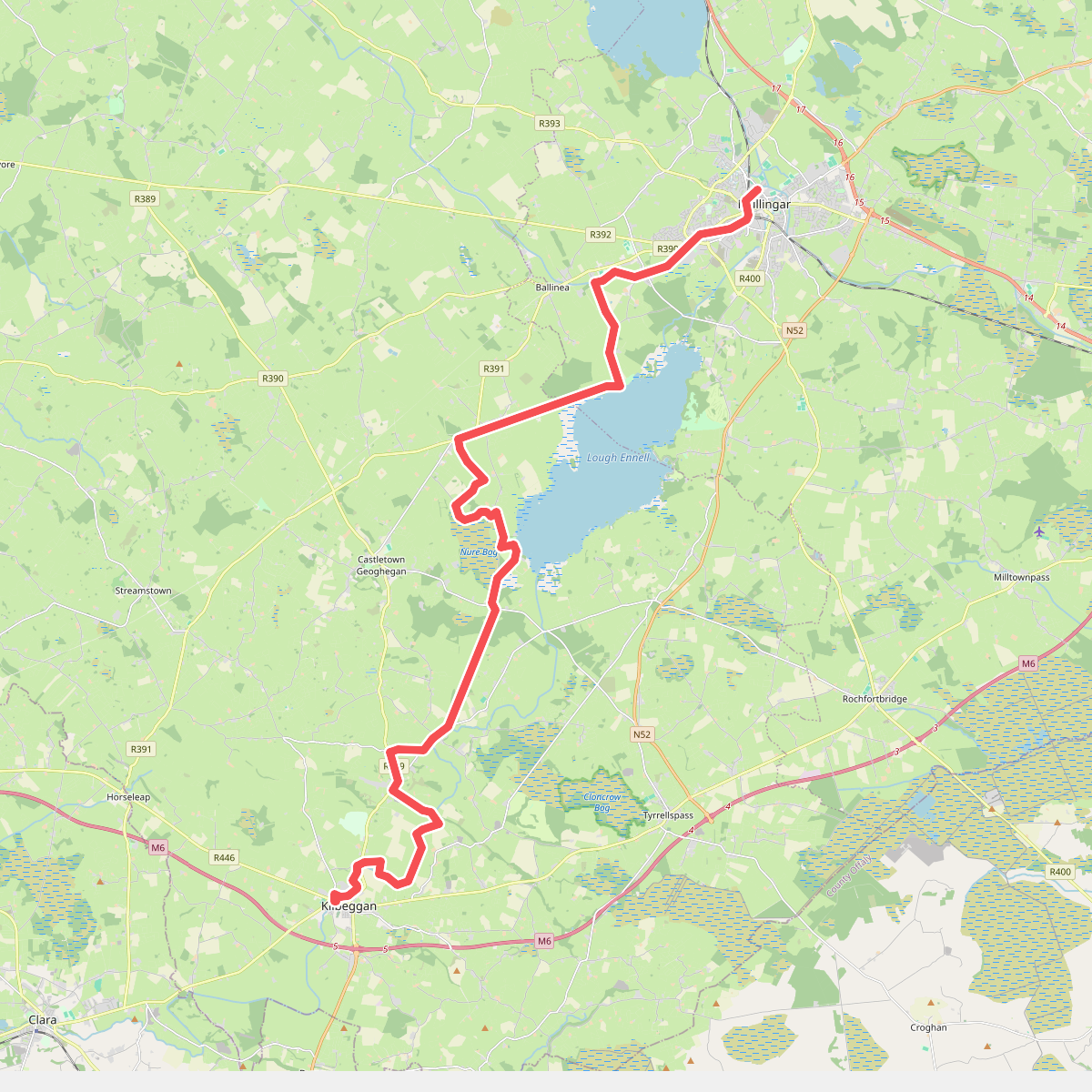
The best hiking routes in County Westmeath
Discover the best walks in County Westmeath. 10 routes on the map, with descriptions, photos and GPX.
About County Westmeath
County Westmeath is not a land of dramatic peaks or deep valleys. Instead, this central Irish county is defined by a gently undulating landscape of limestone pastures, cut through by slow-flowing rivers and expansive lakes. Walkers will find a mix of low-lying terrain where the ground underfoot alternates between tarmac canal paths, gravel forestry tracks, and soft peat. Because of the limestone geology, water is a constant presence, shaping both the wide lake basins and the raised bogs that rise slightly above the surrounding fields.
Read more
About County Westmeath
County Westmeath is not a land of dramatic peaks or deep valleys. Instead, this central Irish county is defined by a gently undulating landscape of limestone pastures, cut through by slow-flowing rivers and expansive lakes. Walkers will find a mix of low-lying terrain where the ground underfoot alternates between tarmac canal paths, gravel forestry tracks, and soft peat. Because of the limestone geology, water is a constant presence, shaping both the wide lake basins and the raised bogs that rise slightly above the surrounding fields.
Read moreCounty Westmeath is not a land of dramatic peaks or deep valleys. Instead, this central Irish county is defined by a gently undulating landscape of limestone pastures, cut through by slow-flowing rivers and expansive lakes. Walkers will find a mix of low-lying terrain where the ground underfoot alternates between tarmac canal paths, gravel forestry tracks, and soft peat. Because of the limestone geology, water is a constant presence, shaping both the wide lake basins and the raised bogs that rise slightly above the surrounding fields.
For those seeking long, flat stretches, the Royal Canal Way offers a continuous, level path on a grassy and gravel towpath, where the engineering of locks and stone bridges structures the walk. In contrast, the shores of Lough Derravaragh and Lough Ennell provide lakeside paths where the terrain is dominated by damp woodland and reed beds. In these lakeside areas, the underfoot conditions transition to earthen paths that can be muddy, requiring sturdy footwear.
In the winter months, particularly around January, the low-lying callows along the River Shannon flood, transforming the fields into temporary wetlands that attract migratory waterfowl. This seasonal flooding defines the walking experience in the west of the county, where paths may be diverted by rising waters. Throughout Westmeath, the walking is generally straightforward and accessible, though the well-known lakeside spots near Mullingar tend to be busier on weekends than the quieter, isolated stretches of the canal.
Zoom or pan for more routes
Hiking routes in County Westmeath (10)
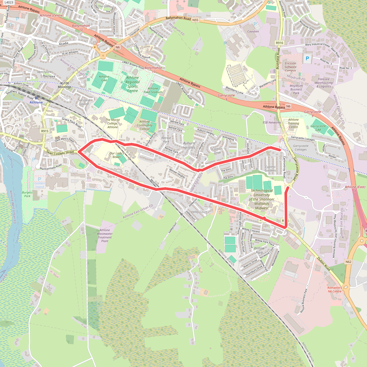
#1. Athlone Sli na Slainte
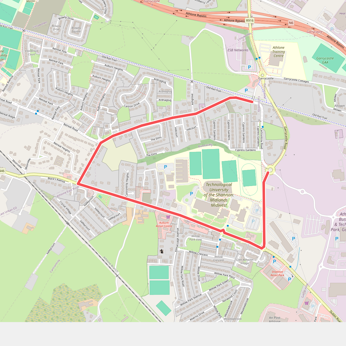
#2. Lunchtime Walk
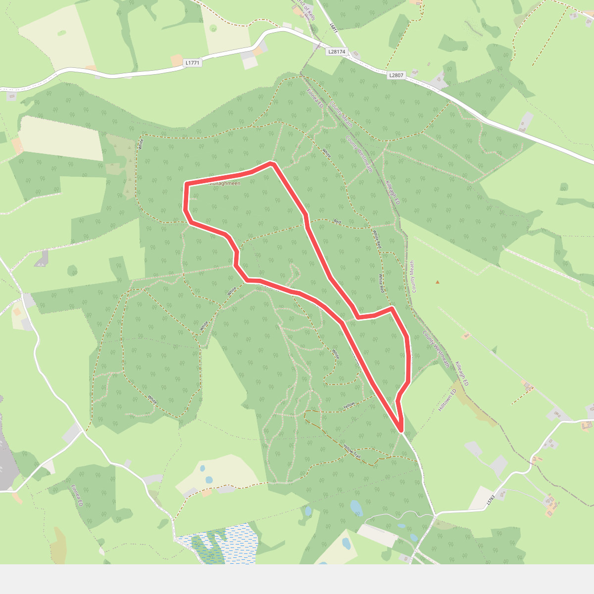
#3. Mullaghmeen Blue Walk
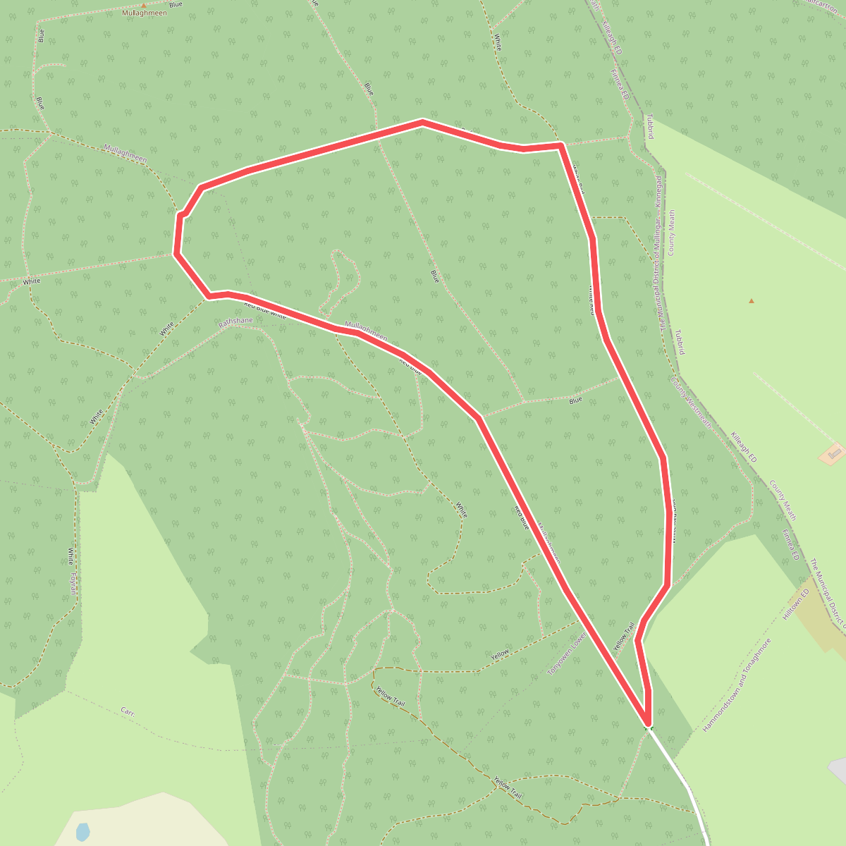
#4. Mullaghmeen Red Walk
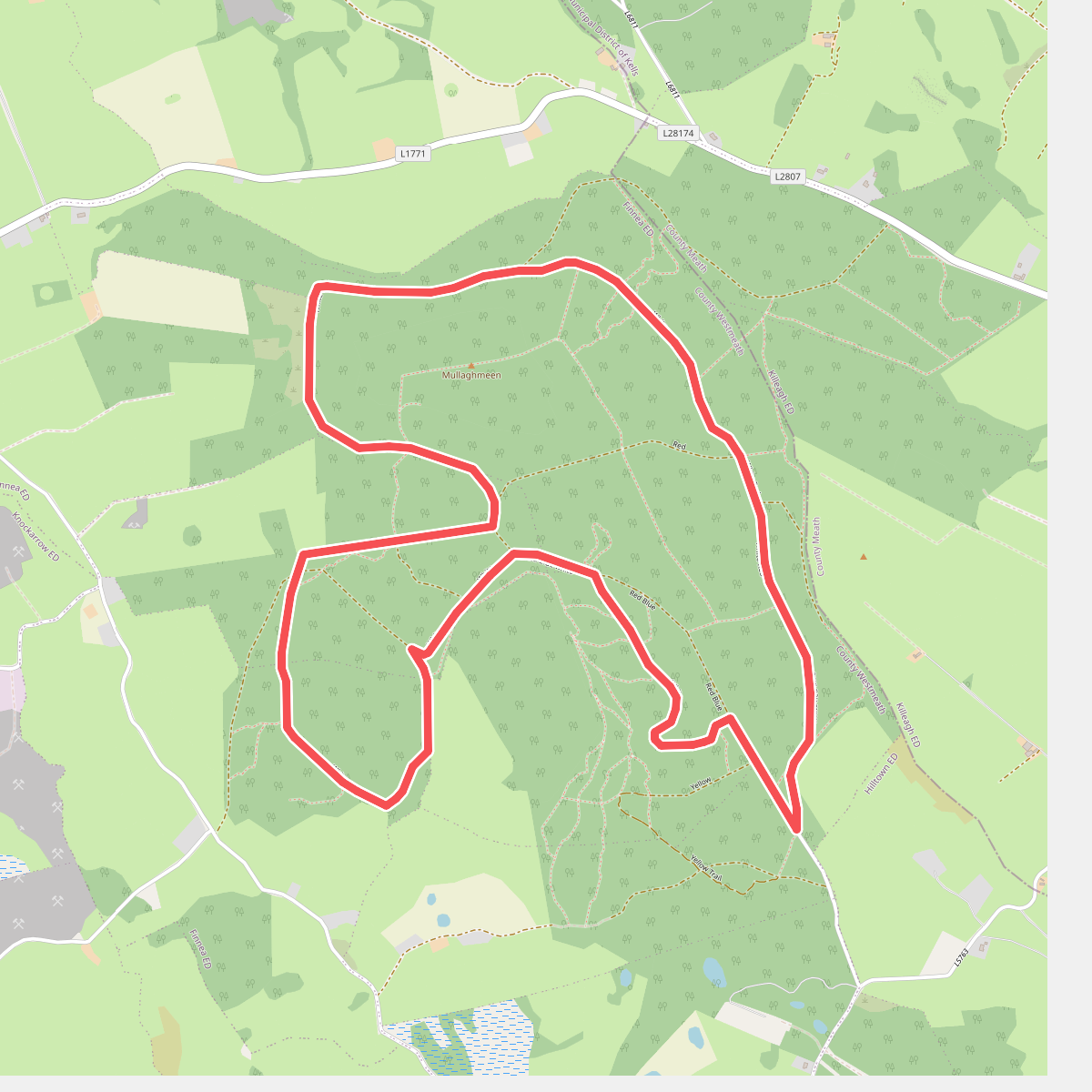
#5. Mullaghmeen White Walk
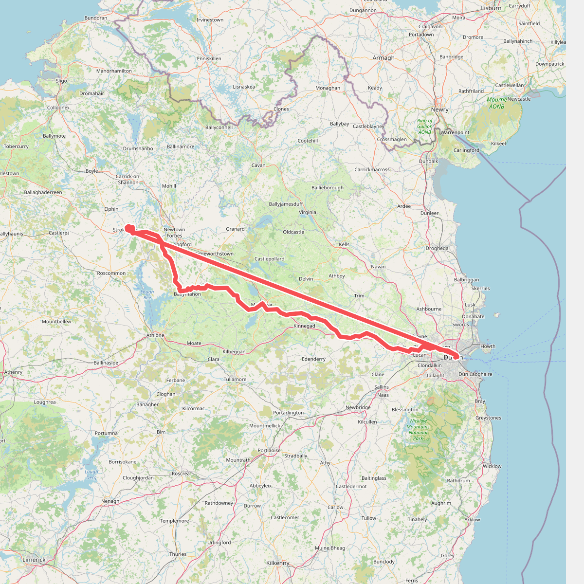
#6. National Famine Way
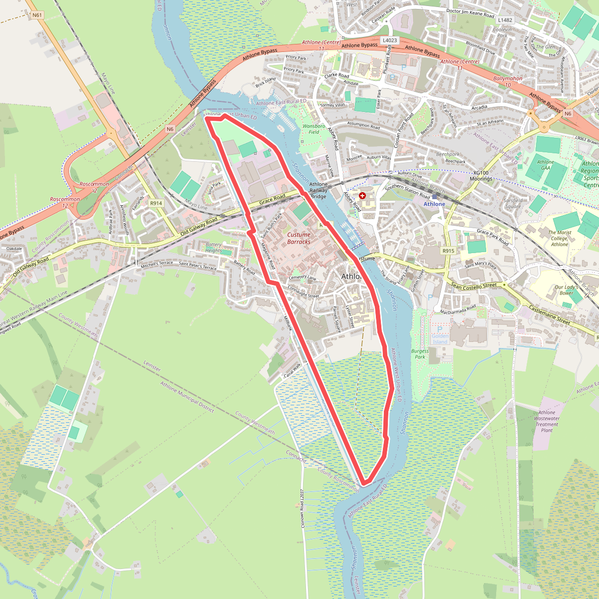
#7. Shannon Banks Nature Trail
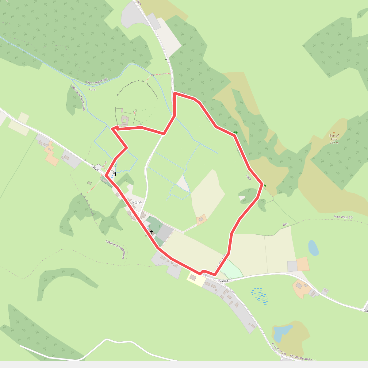
#8. St Feichin's Way
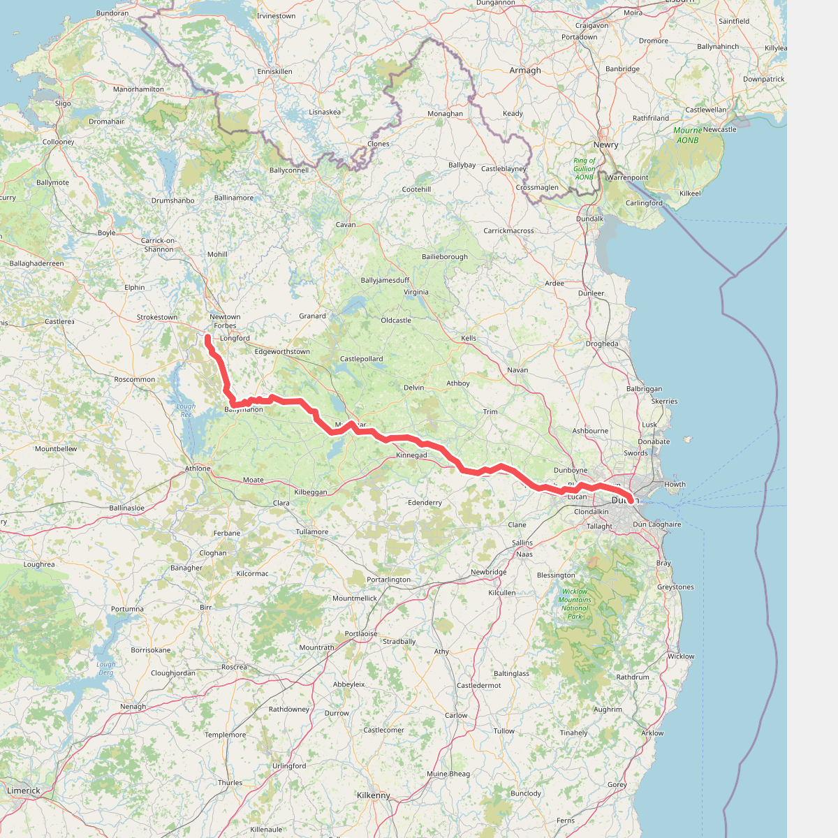
#9. The Royal Canal Way