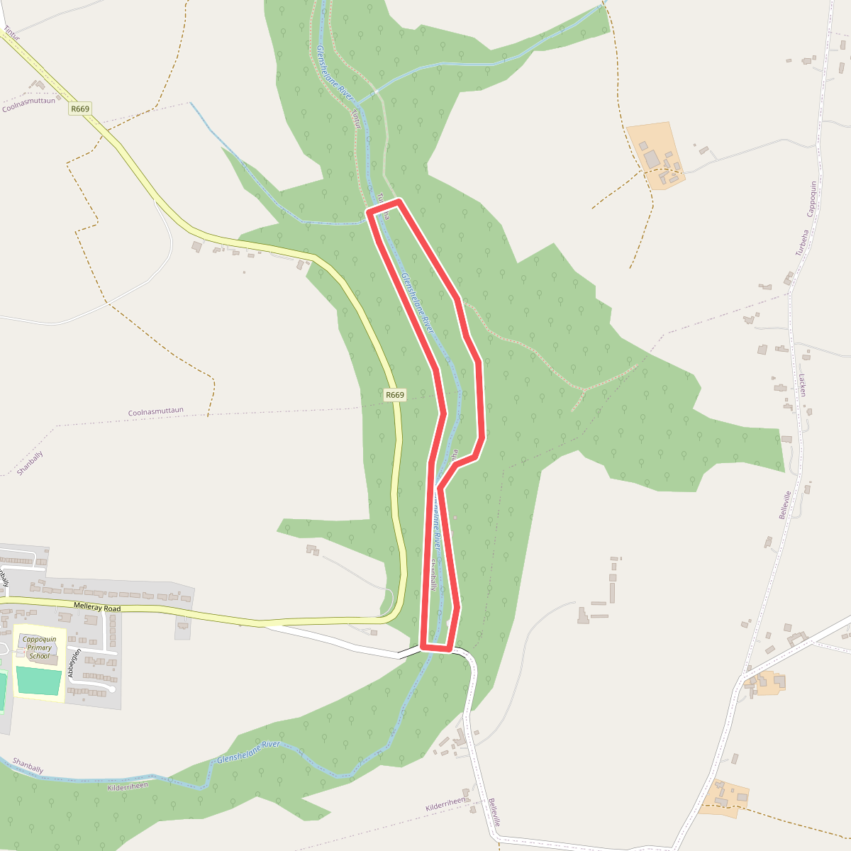
The best hiking routes in County Waterford
Discover the best walks in County Waterford. 25 routes on the map, with descriptions, photos and GPX.
About County Waterford
County Waterford offers a distinct divide between a rugged, sandstone-dominated coastline and the inland mountain ranges. The landscape is shaped by glacial erosion, which carved out deep corrie lakes and left behind steep, scree-covered slopes. Walkers should not expect vast, high-altitude plateaus, but rather compact, sharply defined ridges and coastal paths that follow old railway lines and cliff edges. Underfoot, you will mostly encounter a mix of wet peat, gravel tracks, and sandy beaches.
Read more
About County Waterford
County Waterford offers a distinct divide between a rugged, sandstone-dominated coastline and the inland mountain ranges. The landscape is shaped by glacial erosion, which carved out deep corrie lakes and left behind steep, scree-covered slopes. Walkers should not expect vast, high-altitude plateaus, but rather compact, sharply defined ridges and coastal paths that follow old railway lines and cliff edges. Underfoot, you will mostly encounter a mix of wet peat, gravel tracks, and sandy beaches.
Read moreCounty Waterford offers a distinct divide between a rugged, sandstone-dominated coastline and the inland mountain ranges. The landscape is shaped by glacial erosion, which carved out deep corrie lakes and left behind steep, scree-covered slopes. Walkers should not expect vast, high-altitude plateaus, but rather compact, sharply defined ridges and coastal paths that follow old railway lines and cliff edges. Underfoot, you will mostly encounter a mix of wet peat, gravel tracks, and sandy beaches.
Inland, the Comeragh Mountains dominate the horizon with their sheer rock faces and heather-clad slopes. Here, paths are often rough and trackless, requiring careful navigation over boggy ground and loose stone. In contrast, the coastal trails around Dunmore East and the Copper Coast offer firmer footing on clay paths and grassy clifftops, where the geological history is visible in the red sandstone cliffs and old mining ruins. In August, the purple heather on the slopes of the Monavullagh Mountains creates a striking contrast against the dark stone.
While well-known spots like the Coumshingaun Loop can be busier on weekends, much of the county remains quiet and agricultural. The lower valleys are characterized by quiet boreens, dense hedgerows, and forestry plantations of sitka spruce. It is a working landscape of sheep farming and forestry, where the transition from sheltered river valleys to exposed mountain ridges happens within a few kilometers.
Zoom or pan for more routes
Hiking routes in County Waterford (25)
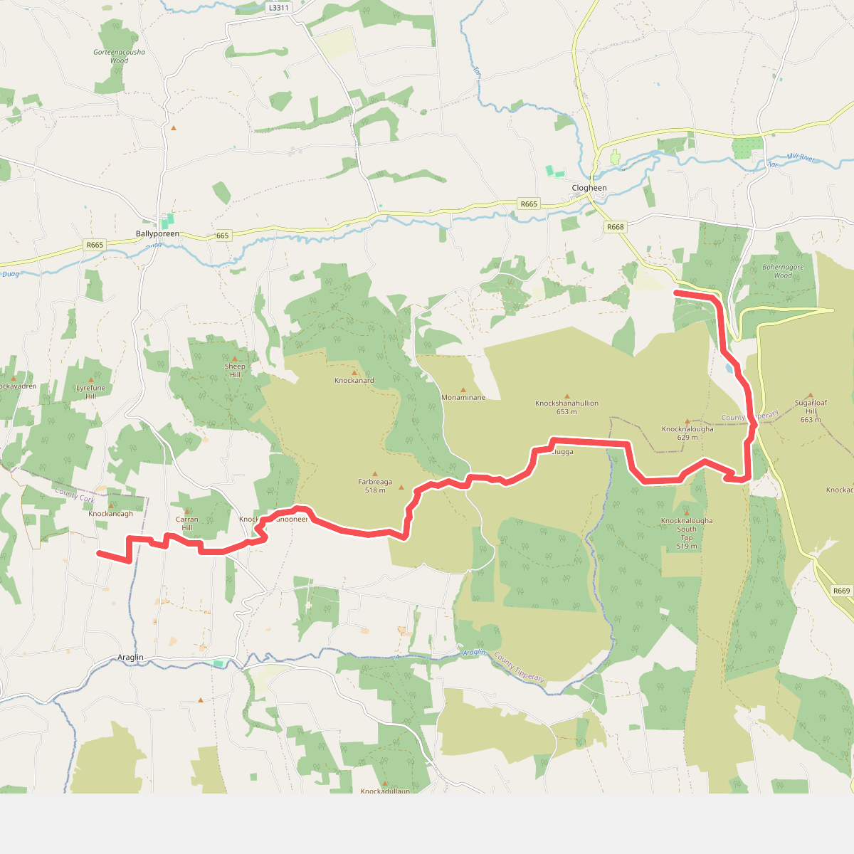
#1. Araglin - Clogheen
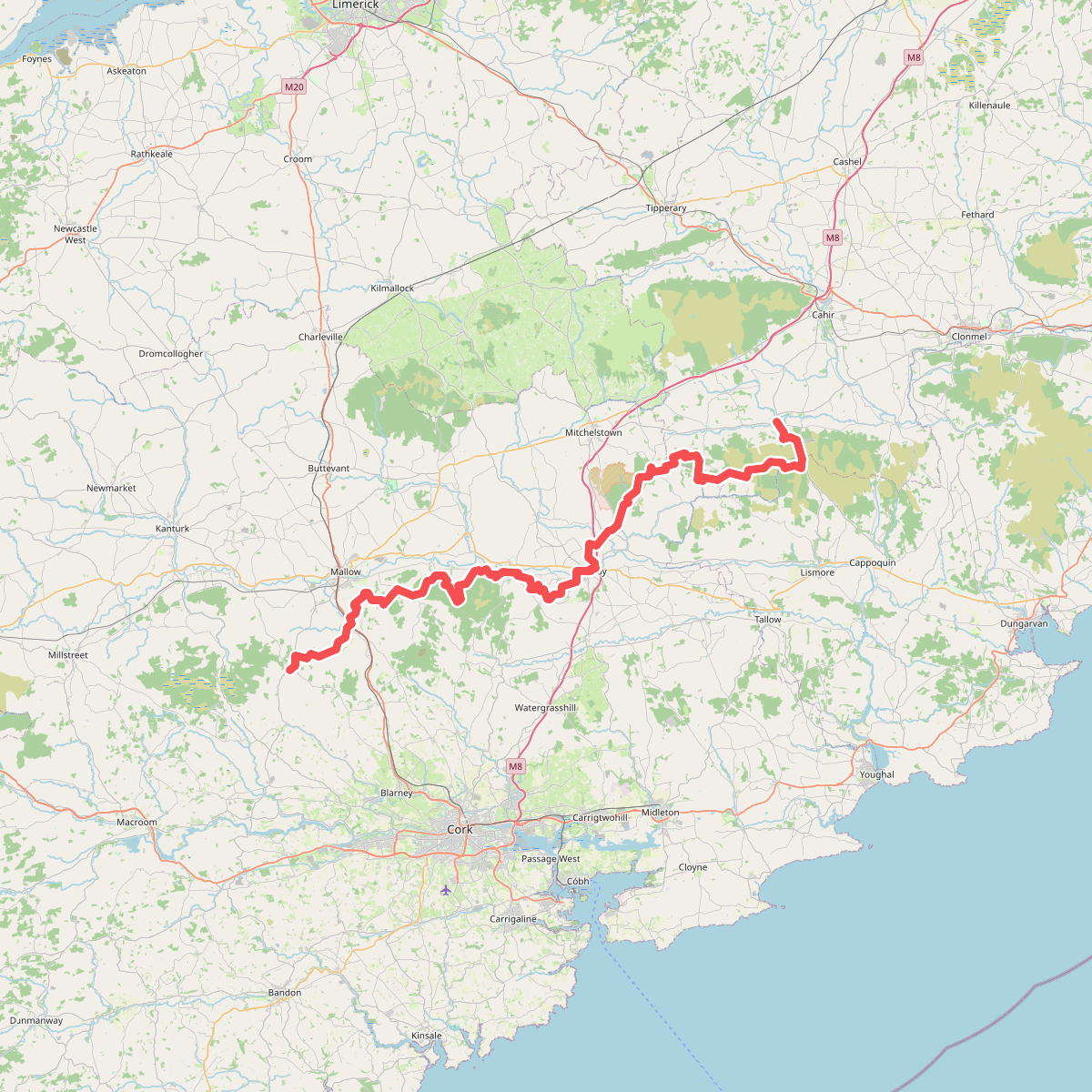
#2. Blackwater (Avondhu) Way
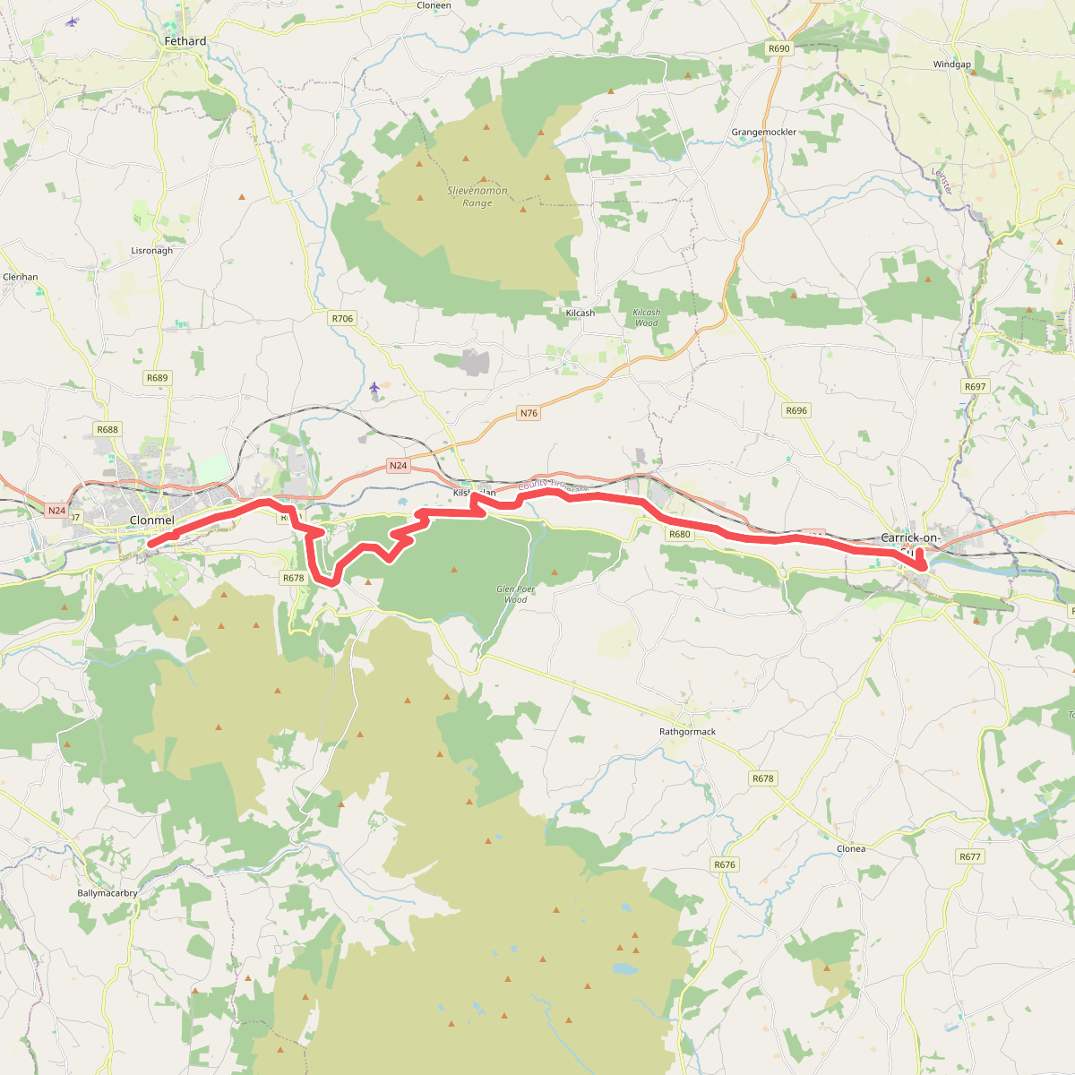
#3. Clonmel - Carrick-on-Suir
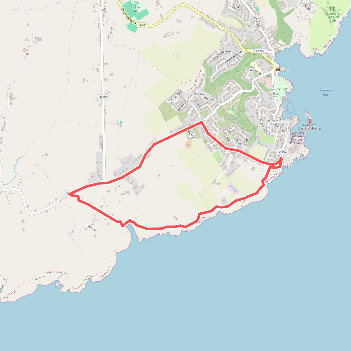
#4. Coast Walk, and road return
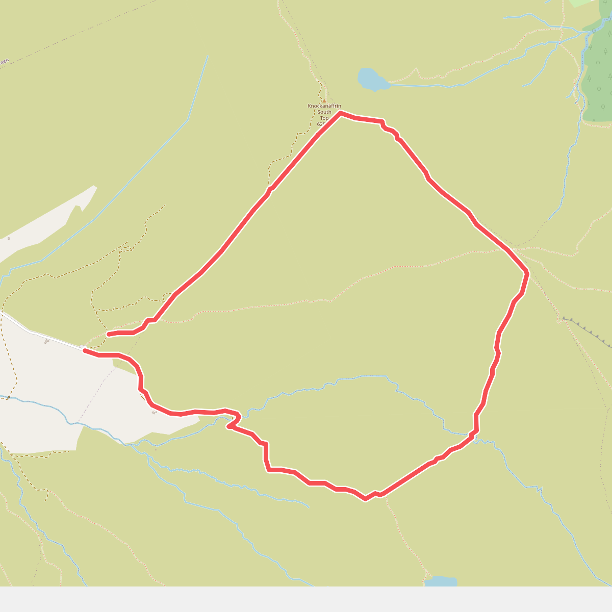
#5. Coumduala Loop
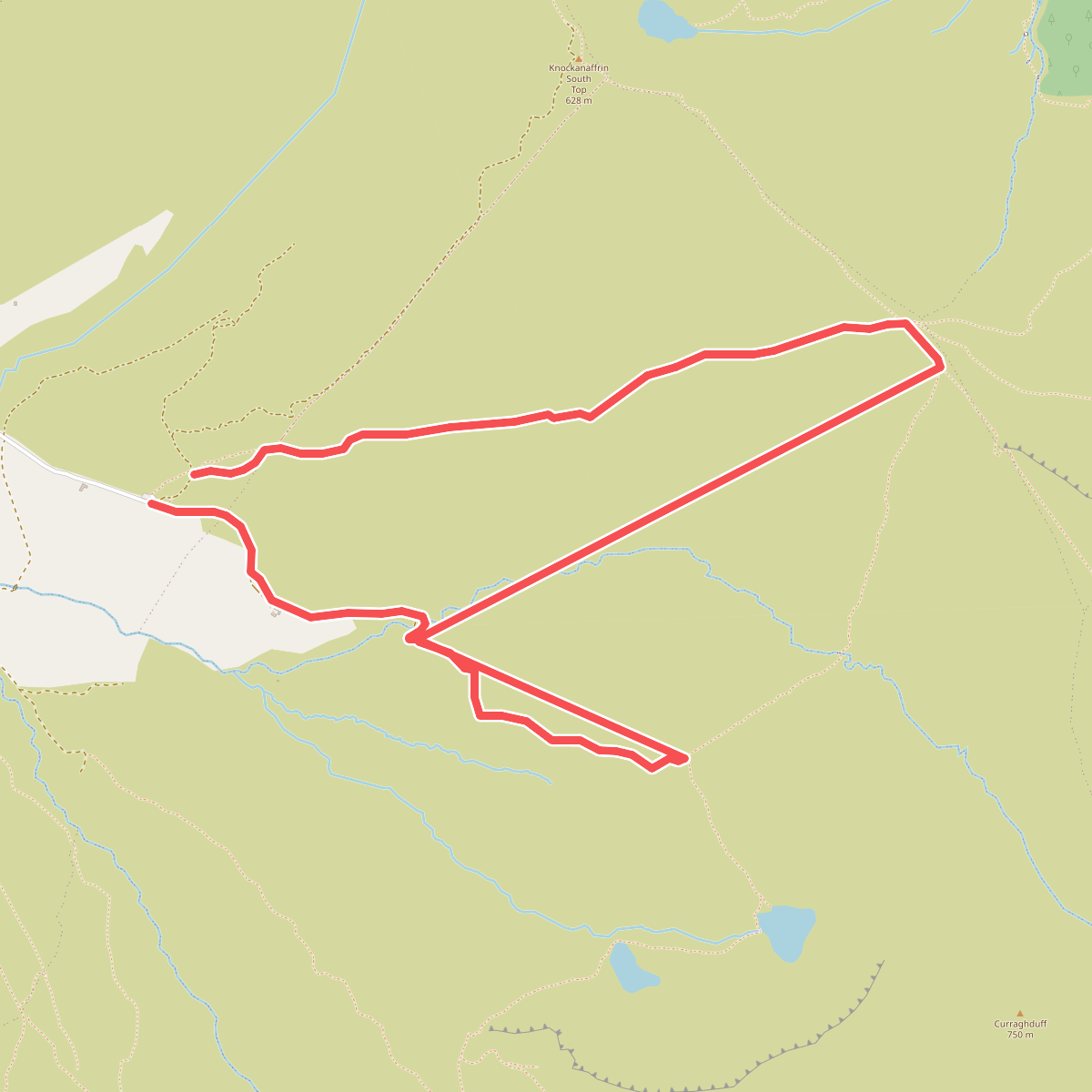
#6. Coumlara Loop
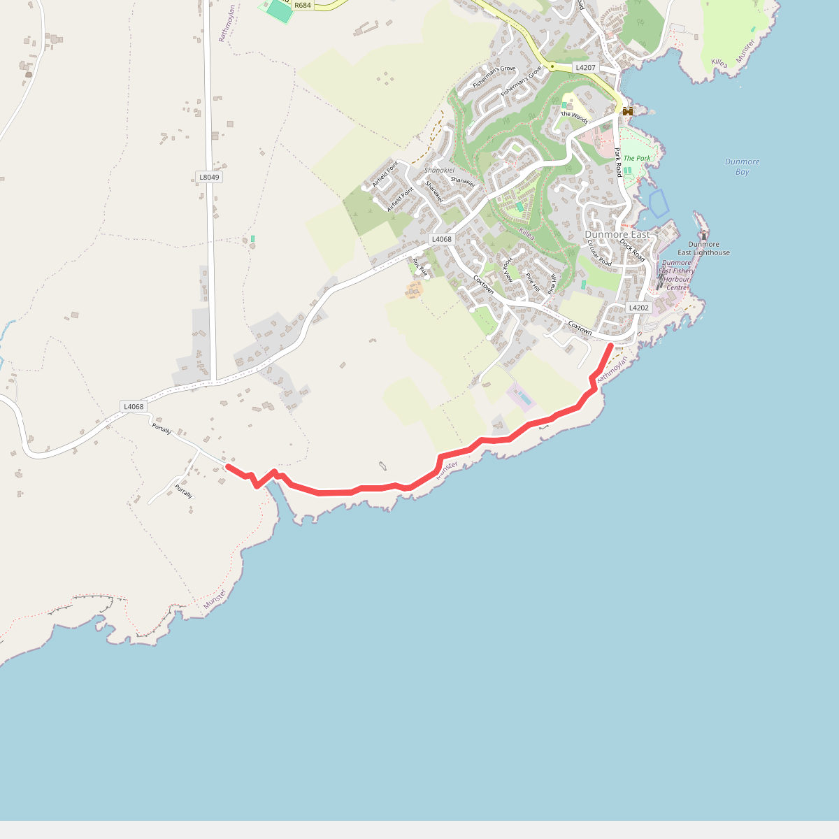
#7. Dunmore-Portally Cliff Walk
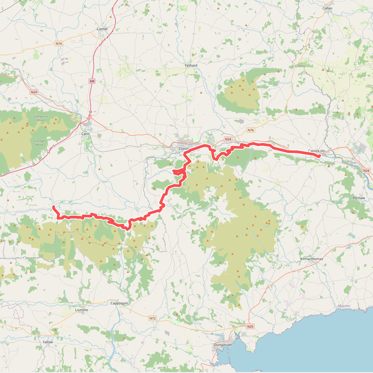
#8. East Munster Way
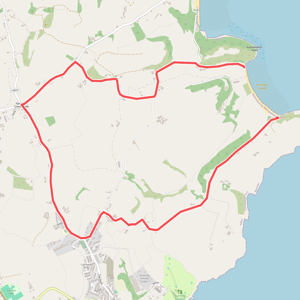
#9. Fairy Bush Forenaught Loop
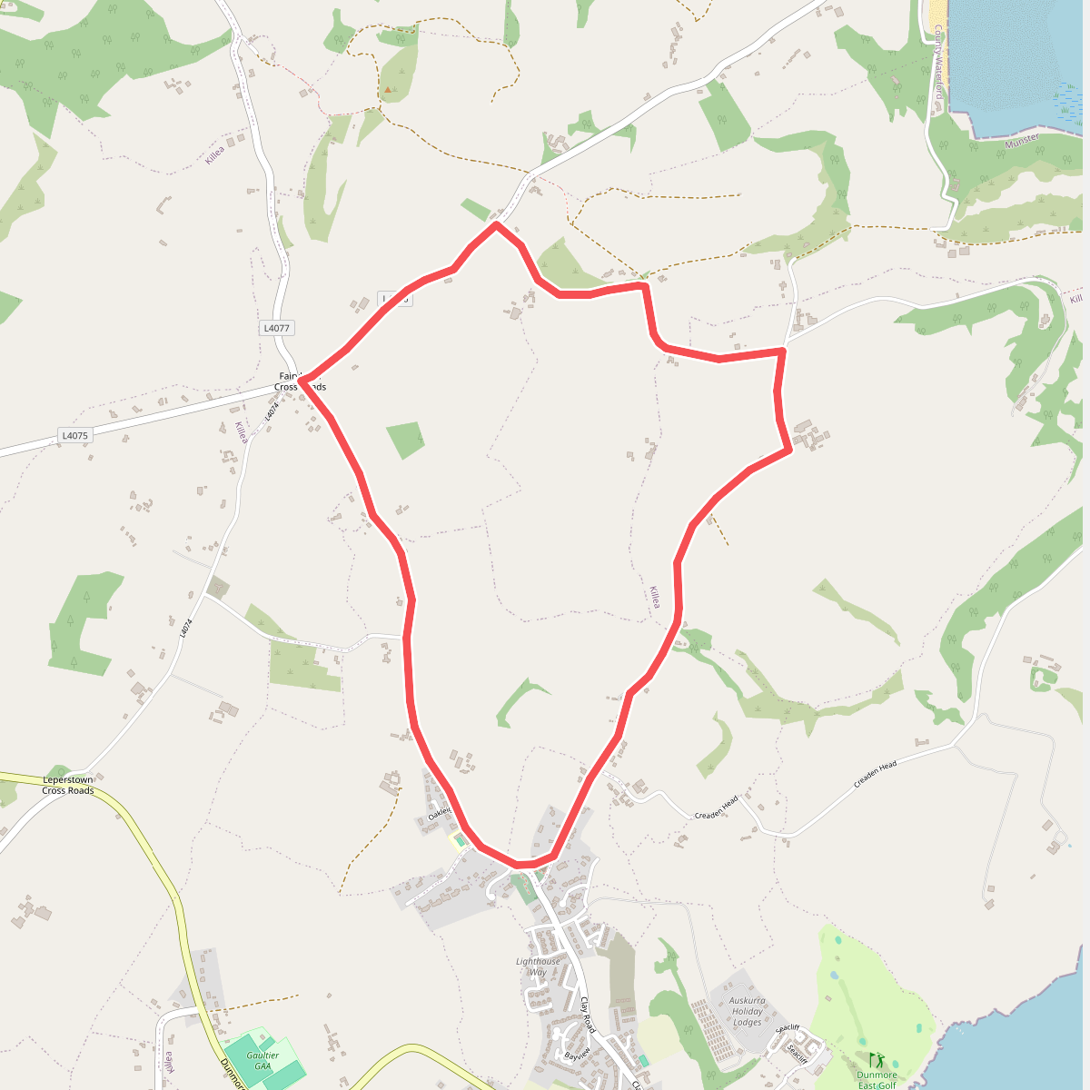
#10. Fairy Bush Loop
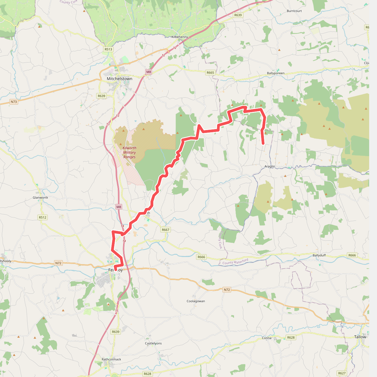
#11. Fermoy - Araglin