The best hiking routes in County Tipperary
Discover the best walks in County Tipperary. 23 routes on the map, with descriptions, photos and GPX.
About County Tipperary
County Tipperary is defined by its agricultural heartland, the Golden Vale, which means many walks here follow low-lying river paths and farm tracks rather than rugged mountain passes. If you prefer flat, grassy riverside paths, the Suir Blueway offers straightforward walking along old towpaths where you will see stone bridges and ruined castles. The terrain here is gentle, dominated by rich pastures and hedgerows, meaning you will not find deep gorges or high-altitude scrambling in these central plains.
Read more
About County Tipperary
County Tipperary is defined by its agricultural heartland, the Golden Vale, which means many walks here follow low-lying river paths and farm tracks rather than rugged mountain passes. If you prefer flat, grassy riverside paths, the Suir Blueway offers straightforward walking along old towpaths where you will see stone bridges and ruined castles. The terrain here is gentle, dominated by rich pastures and hedgerows, meaning you will not find deep gorges or high-altitude scrambling in these central plains.
Read moreCounty Tipperary is defined by its agricultural heartland, the Golden Vale, which means many walks here follow low-lying river paths and farm tracks rather than rugged mountain passes. If you prefer flat, grassy riverside paths, the Suir Blueway offers straightforward walking along old towpaths where you will see stone bridges and ruined castles. The terrain here is gentle, dominated by rich pastures and hedgerows, meaning you will not find deep gorges or high-altitude scrambling in these central plains.
For those seeking elevation, the landscape rises sharply into sandstone ridges like the Galtee Mountains and the Slievenamon peak. Underfoot, these upland routes transition from gravel forestry tracks to wet peat and heather, requiring navigation skills when low cloud descends. In October, the deciduous woodlands at the base of these hills turn a deep rust colour, contrasting with the dark sitka spruce plantations that cover the lower slopes.
Because much of the land is working farm territory, access is often restricted to designated waymarked ways. You will frequently encounter stiles, kissing gates, and active livestock. While the popular trailheads near Cahir can be busy on weekends, the higher bogland tracks remain quiet, offering straightforward hill walking on peat and sandstone rather than rocky alpine ridges.
Zoom or pan for more routes
Hiking routes in County Tipperary (23)
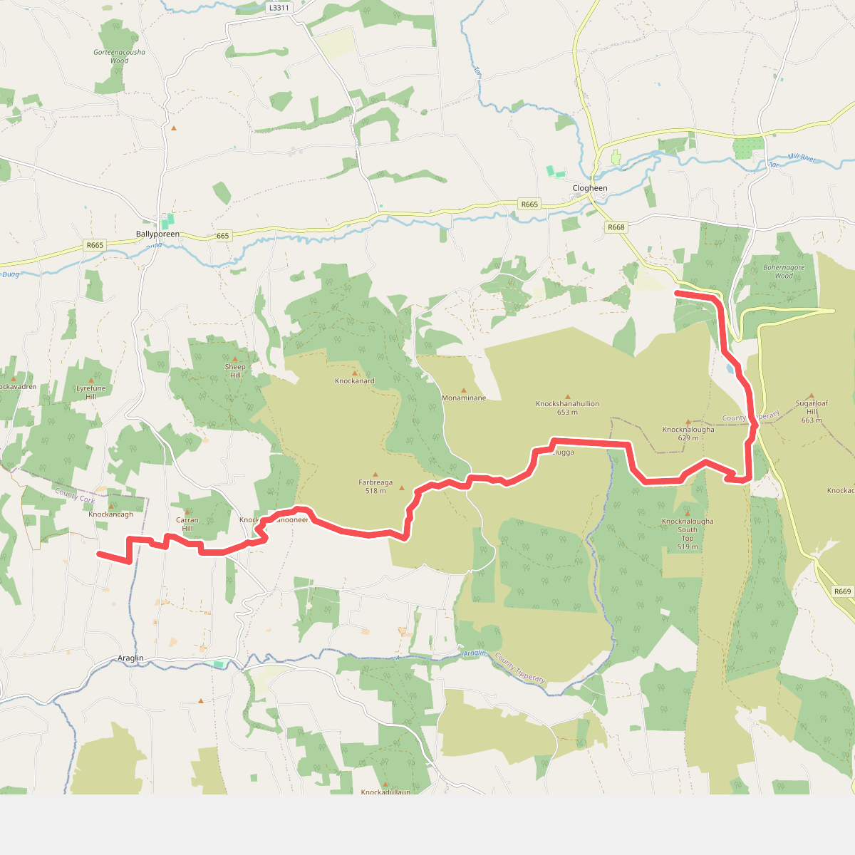
#1. Araglin - Clogheen
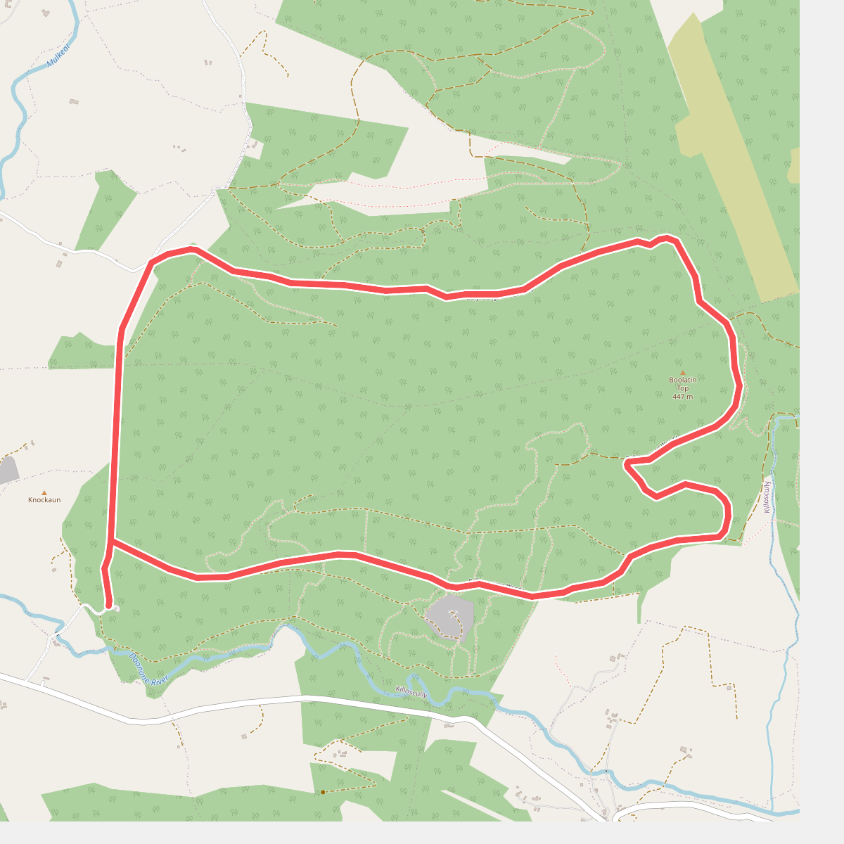
#2. Ballyhourigan Woods looped walk
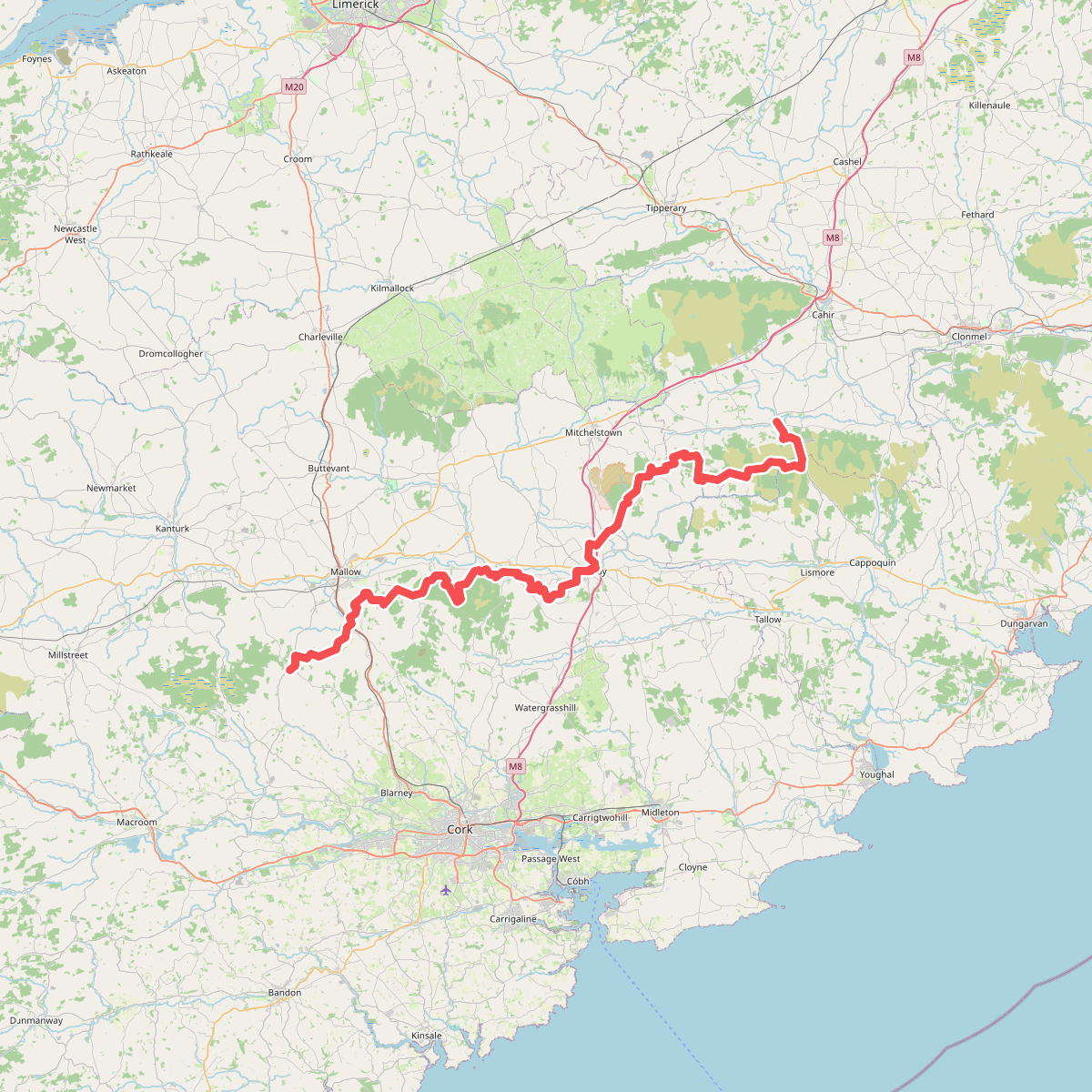
#3. Blackwater (Avondhu) Way
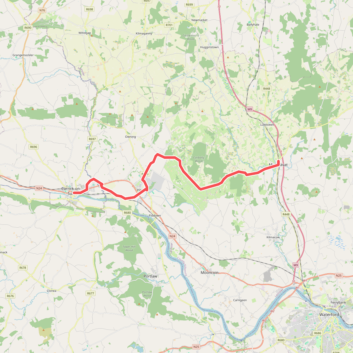
#4. Carrick-on-Suit - Mullinavat
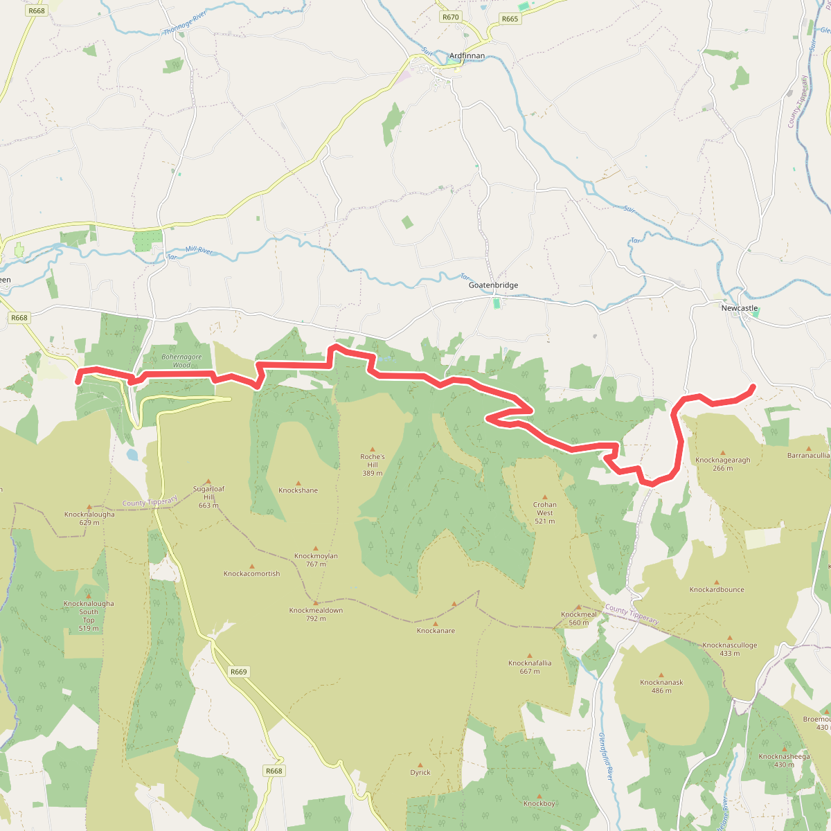
#5. Clogheen - Newcastle
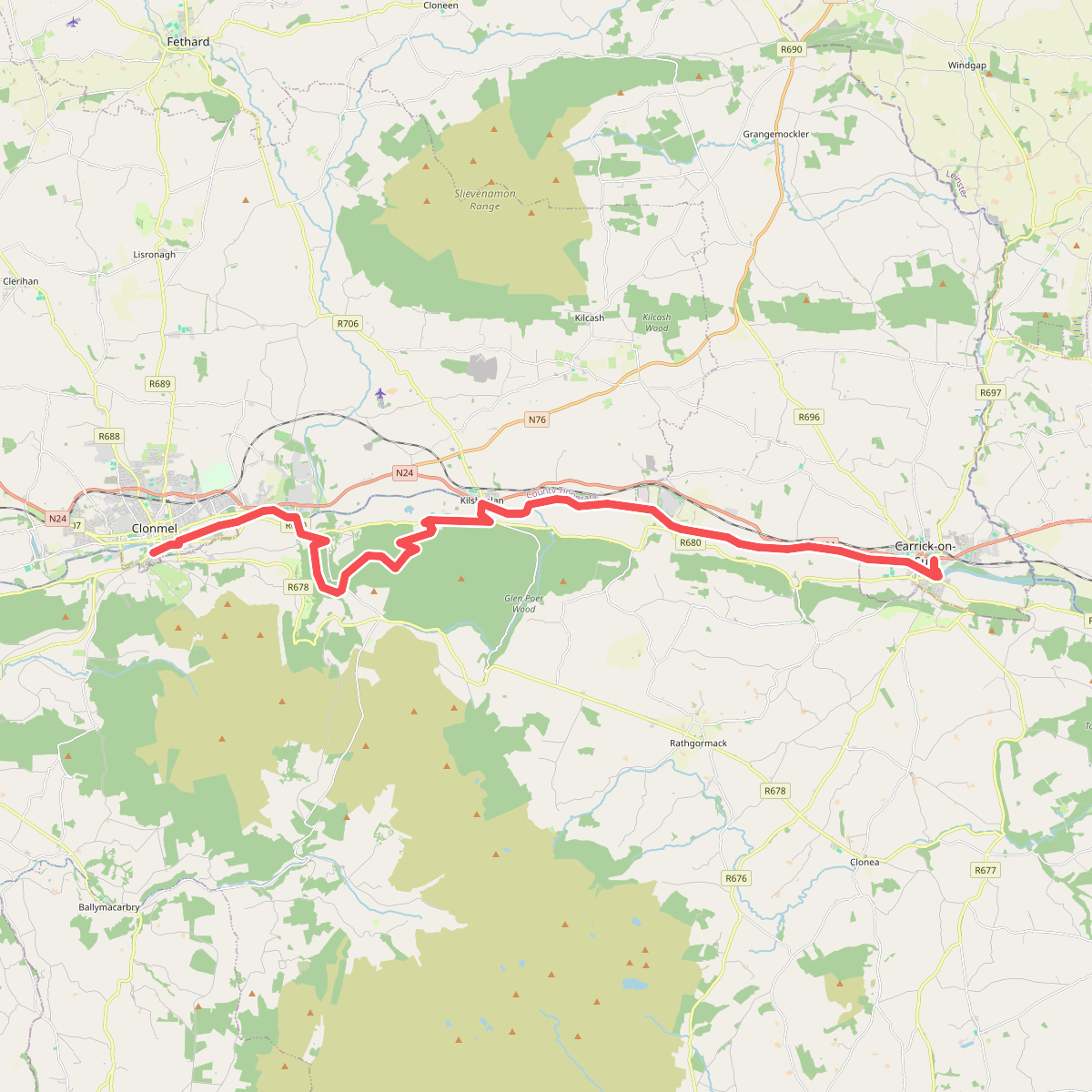
#6. Clonmel - Carrick-on-Suir
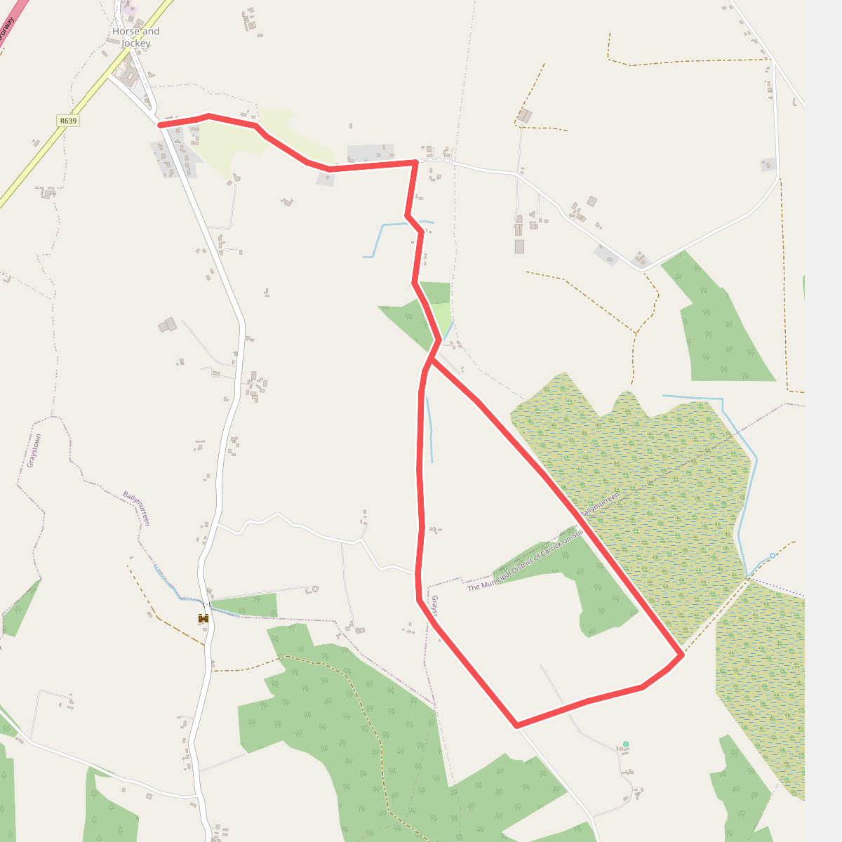
#7. Derrynaflan Loop Walk
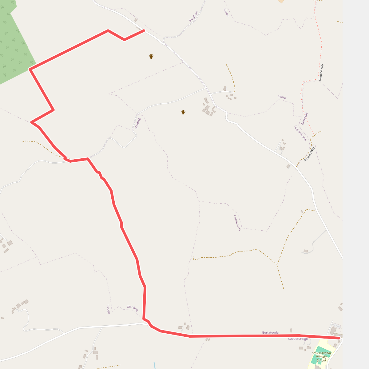
#8. Eamonn A Chnoic Loop
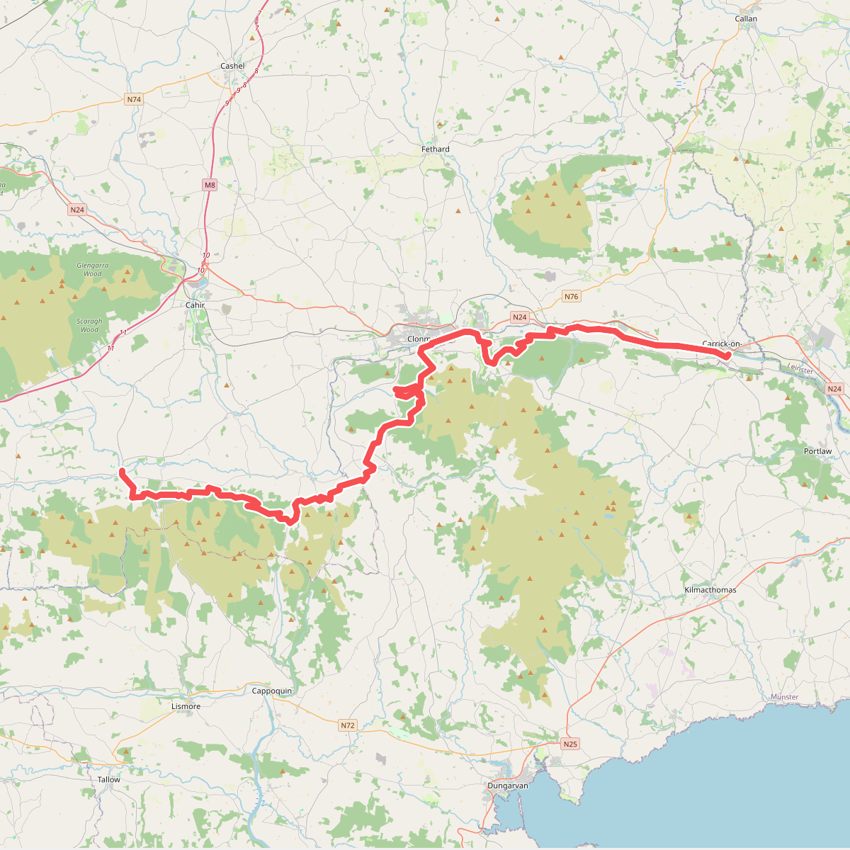
#9. East Munster Way
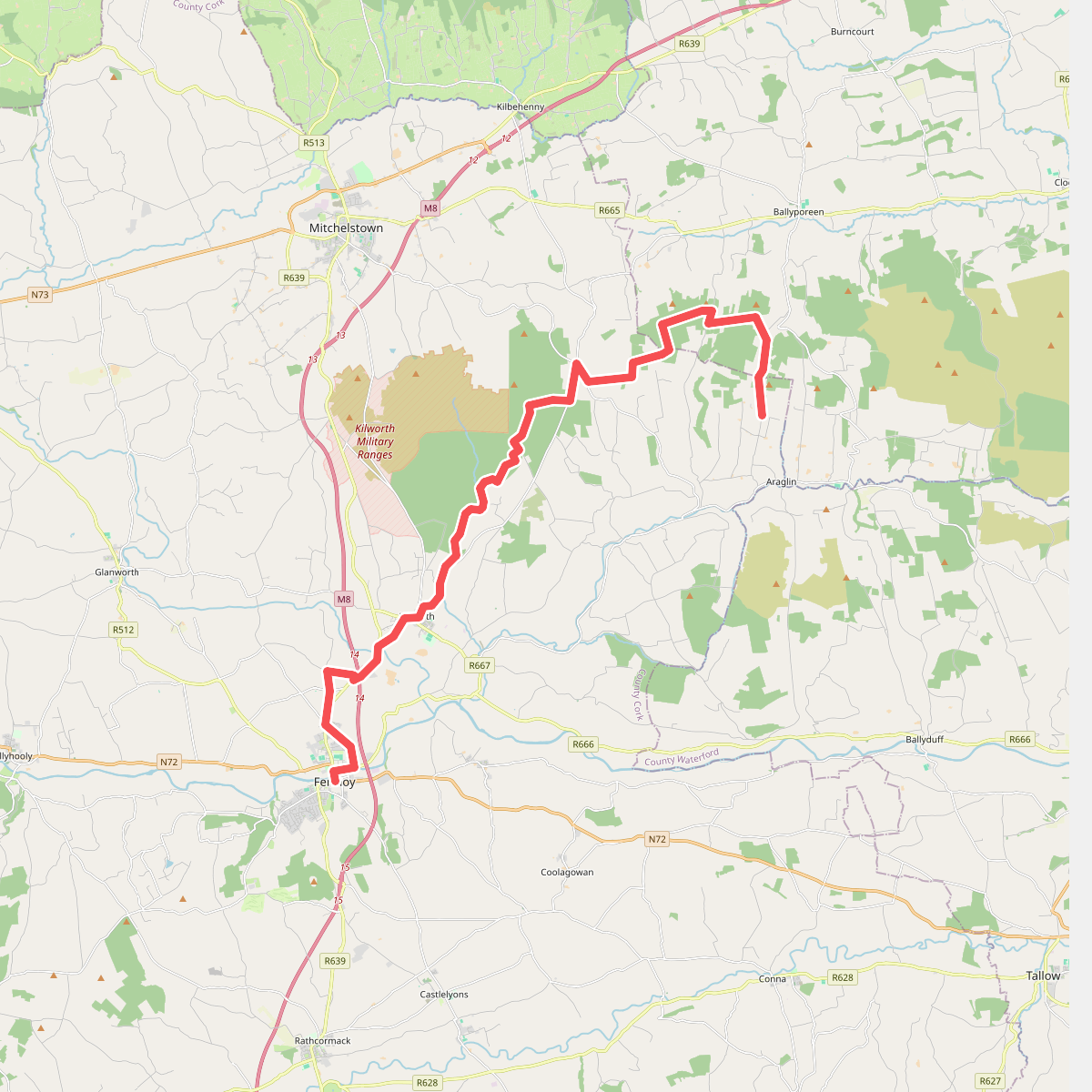
#10. Fermoy - Araglin
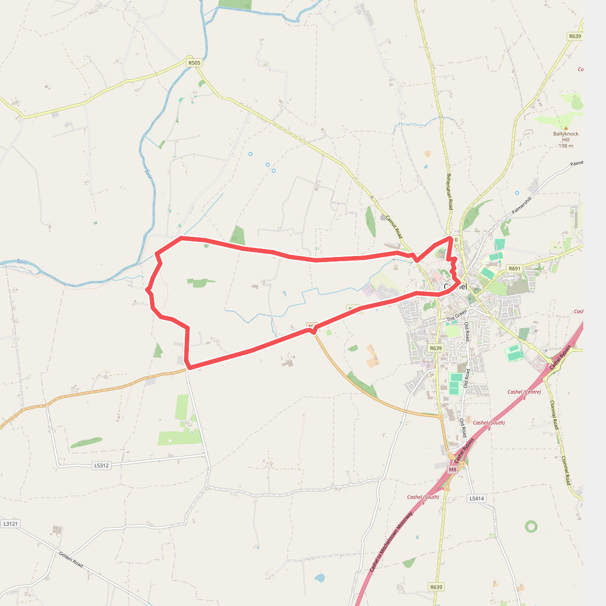
#11. High King Loop