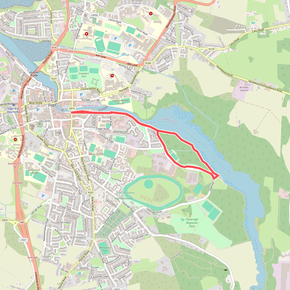
The best hiking routes in County Sligo
Discover the best walks in County Sligo. 15 routes on the map, with descriptions, photos and GPX.
About County Sligo
County Sligo is defined by two distinct landscape types that dictate the walking experience. In the north, the dramatic limestone plateaus of the Dartry Mountains dominate, characterized by sheer cliffs and flat-topped ridges. Underfoot, these upland paths often consist of wet peat, exposed limestone pavement, and rough gravel tracks. In contrast, the southern and western parts of the county transition into low-lying coastal plains, sandy dunes, and gentle, rolling hills around the Ox Mountains. Here, walkers find firmer ground on sandy beaches, grassy coastal paths, and quiet tarmac boreens.
Read more
About County Sligo
County Sligo is defined by two distinct landscape types that dictate the walking experience. In the north, the dramatic limestone plateaus of the Dartry Mountains dominate, characterized by sheer cliffs and flat-topped ridges. Underfoot, these upland paths often consist of wet peat, exposed limestone pavement, and rough gravel tracks. In contrast, the southern and western parts of the county transition into low-lying coastal plains, sandy dunes, and gentle, rolling hills around the Ox Mountains. Here, walkers find firmer ground on sandy beaches, grassy coastal paths, and quiet tarmac boreens.
Read moreCounty Sligo is defined by two distinct landscape types that dictate the walking experience. In the north, the dramatic limestone plateaus of the Dartry Mountains dominate, characterized by sheer cliffs and flat-topped ridges. Underfoot, these upland paths often consist of wet peat, exposed limestone pavement, and rough gravel tracks. In contrast, the southern and western parts of the county transition into low-lying coastal plains, sandy dunes, and gentle, rolling hills around the Ox Mountains. Here, walkers find firmer ground on sandy beaches, grassy coastal paths, and quiet tarmac boreens.
The shape of the landscape is a direct result of its geological history, which is highly visible from the trail. The massive limestone blocks were carved by glaciers, leaving behind steep valleys and distinctive flat summits like Benbulbin. On the lower ground, centuries of turf cutting have shaped the boglands, leaving deep, straight-sided trenches alongside the peat paths. Walkers will also notice ancient stone walls dividing the fields, a testament to generations of pastoral farming that continues to define the rural valleys.
This is not a region of alpine peaks or deep, forested gorges, but rather one of open, exposed ridges and low coastal flats. The well-known coastal paths and forest walks near Sligo town tend to be busier, while the higher peatland tracks remain quiet. In late August, the heather on the upland slopes turns a deep purple, transforming the hillsides. Walkers should expect rough, uneven terrain on the hills and prepare for soft, damp ground underfoot on the peat paths.
Zoom or pan for more routes
Hiking routes in County Sligo (15)
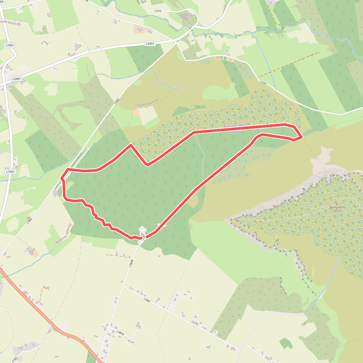
#1. Ben Bulben Walk
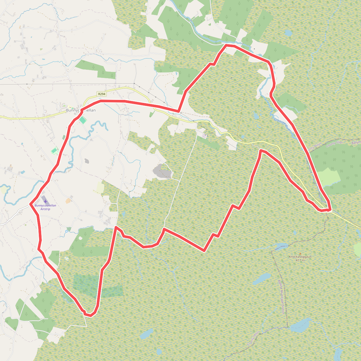
#2. Bunnyconnellan Loop
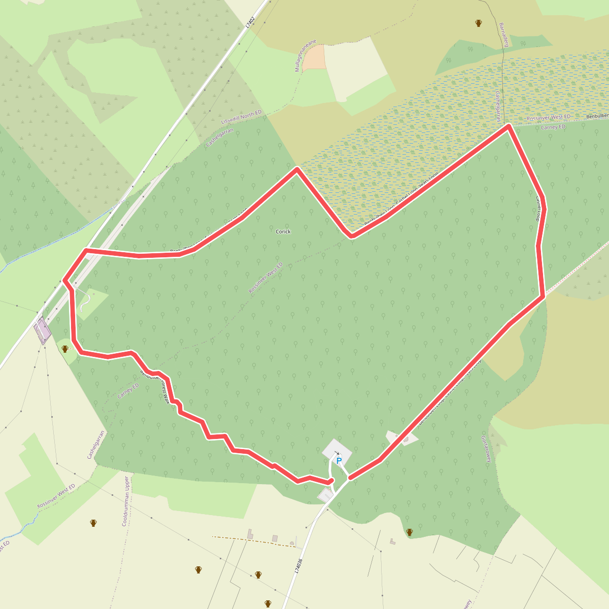
#3. Cashel Loop
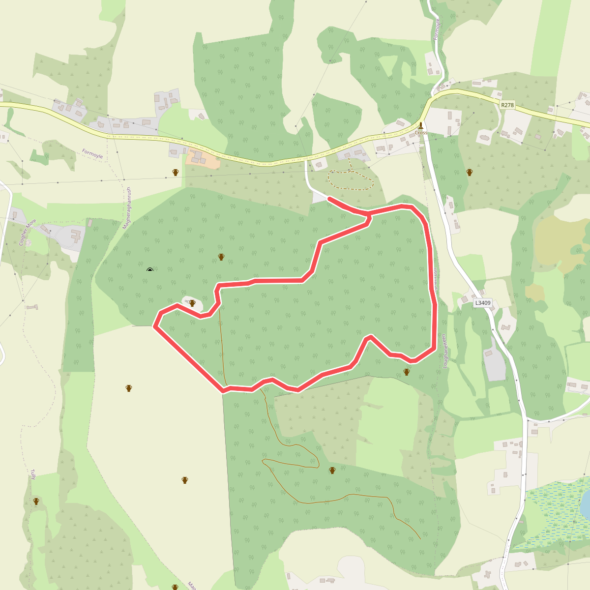
#4. Court Tomb Trail
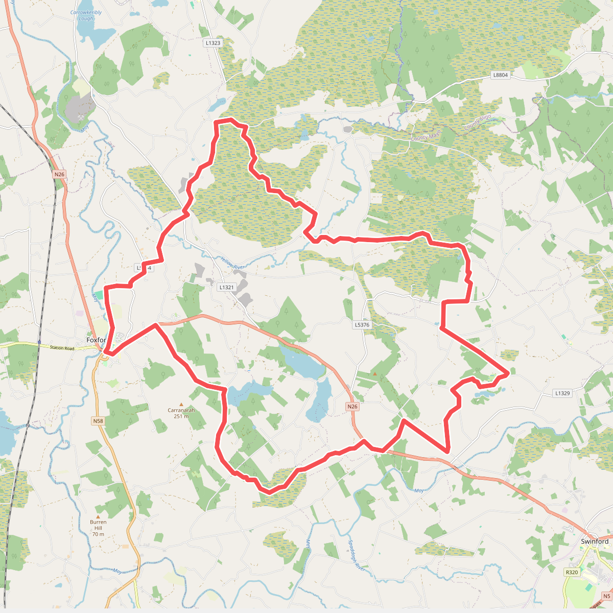
#5. Foxford Way Loop
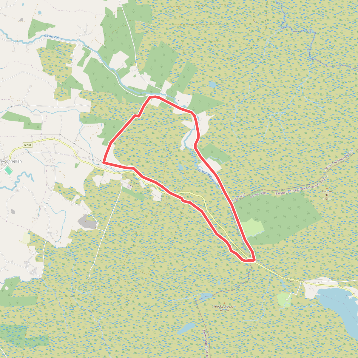
#6. Glen Loop
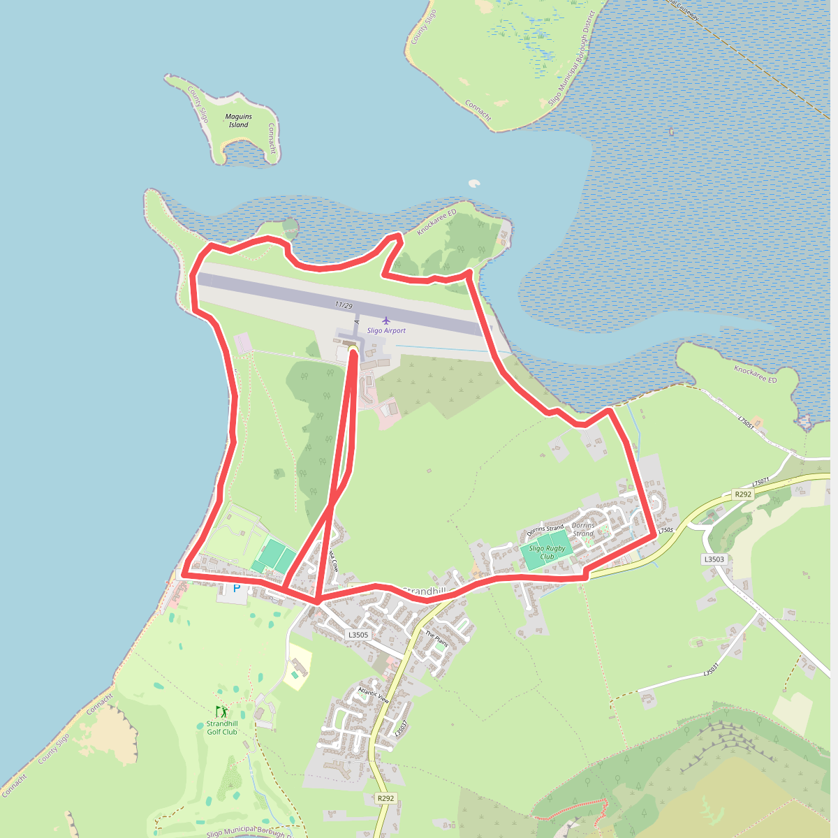
#7. Killaspugbrone Loop
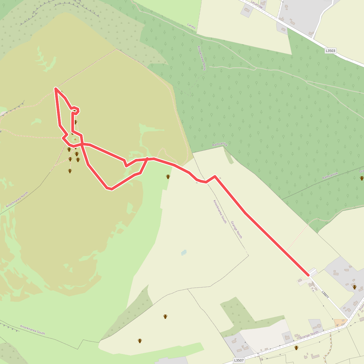
#8. Knocknarea trail
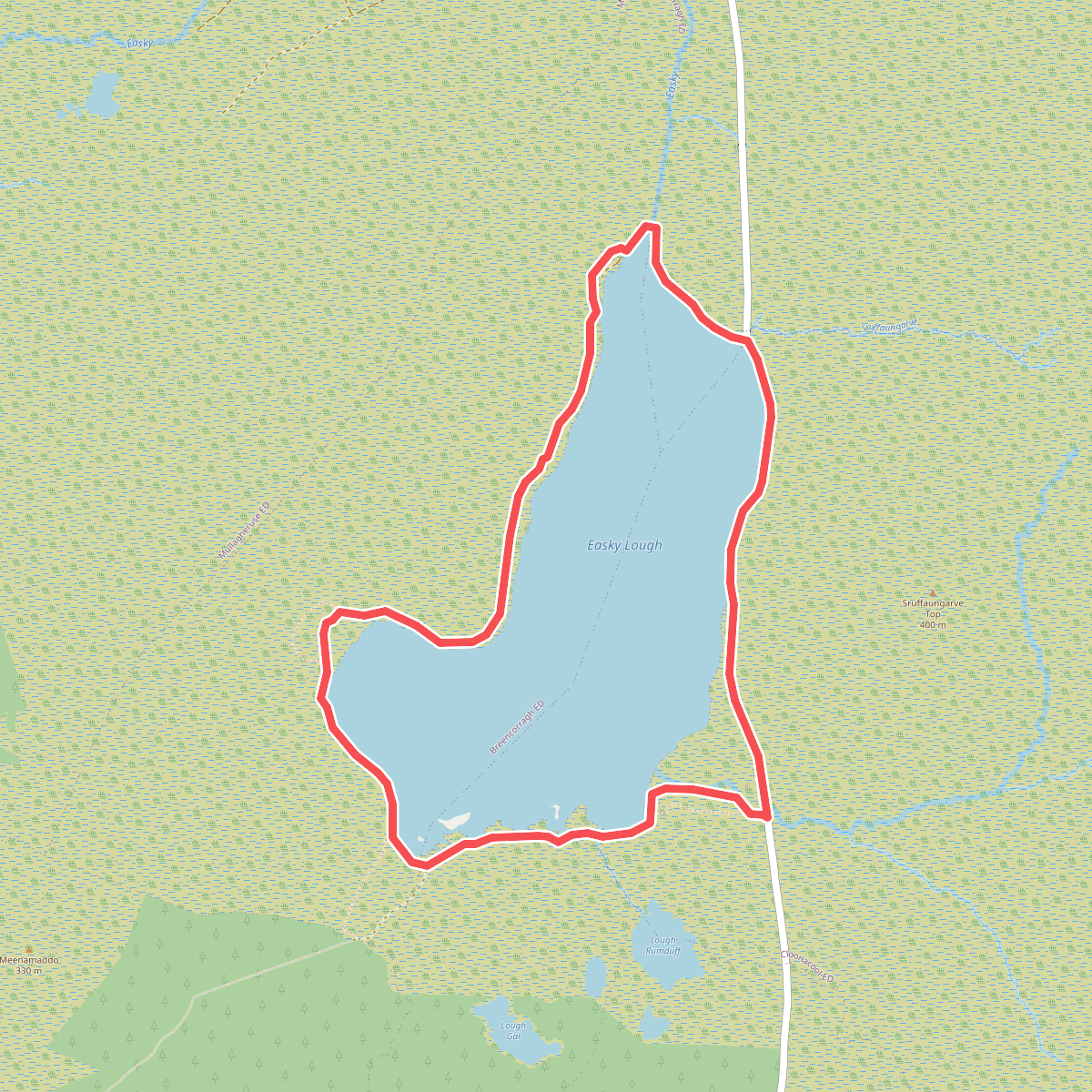
#9. Lough Easkey Loop
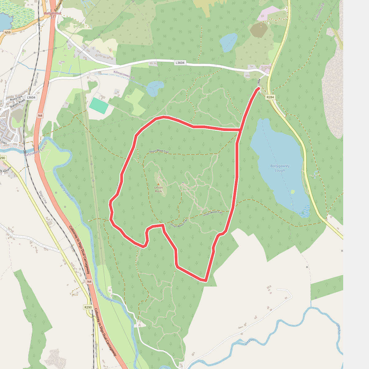
#10. Oakwood Trail
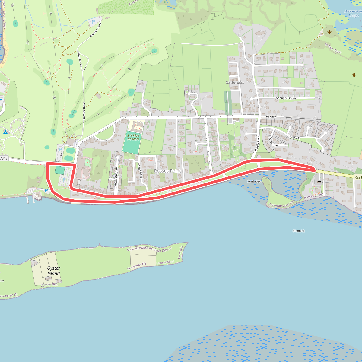
#11. Rosses Point Slí na Sláinte