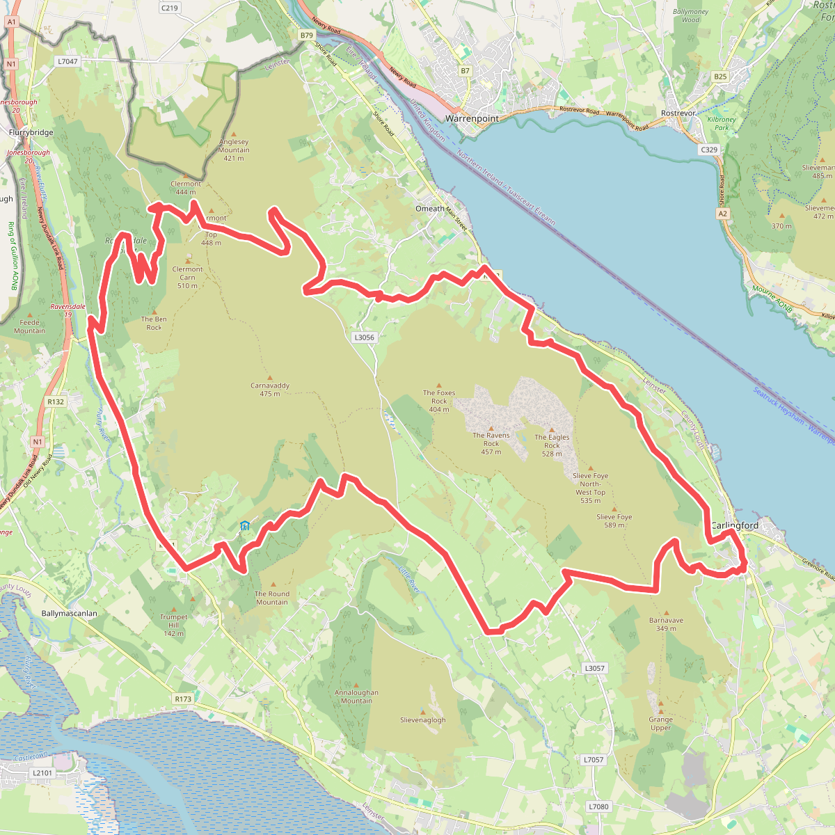
The best hiking routes in County Louth
Discover the best walks in County Louth. 14 routes on the map, with descriptions, photos and GPX.
About County Louth
County Louth, Ireland's smallest county, offers a landscape defined by its coastal lowlands and the sharp transition to the granite hills of the Cooley Peninsula. Walkers should not expect the vast, high-altitude plateaus found in the west of Ireland; instead, the terrain here is characterized by low-lying farmland, tidal mudflats, and steep, rocky ridges that rise abruptly from the sea. Underfoot, paths range from the soft sand and shingle of the Irish Sea coastline to the rough, heather-clad peat and exposed stone tracks of the uplands.
Read more
About County Louth
County Louth, Ireland's smallest county, offers a landscape defined by its coastal lowlands and the sharp transition to the granite hills of the Cooley Peninsula. Walkers should not expect the vast, high-altitude plateaus found in the west of Ireland; instead, the terrain here is characterized by low-lying farmland, tidal mudflats, and steep, rocky ridges that rise abruptly from the sea. Underfoot, paths range from the soft sand and shingle of the Irish Sea coastline to the rough, heather-clad peat and exposed stone tracks of the uplands.
Read moreCounty Louth, Ireland's smallest county, offers a landscape defined by its coastal lowlands and the sharp transition to the granite hills of the Cooley Peninsula. Walkers should not expect the vast, high-altitude plateaus found in the west of Ireland; instead, the terrain here is characterized by low-lying farmland, tidal mudflats, and steep, rocky ridges that rise abruptly from the sea. Underfoot, paths range from the soft sand and shingle of the Irish Sea coastline to the rough, heather-clad peat and exposed stone tracks of the uplands.
To the north, the landscape is dominated by the Ring of Gullion AONB, which extends across the border. Here, the walking is defined by a circular ring dike of low hills surrounding a central mountain, where paths follow ancient forestry tracks and open heather moorland. In contrast, the southern and eastern parts of the county offer flat coastal walking along the salt marshes of Dundalk Bay, where the ground is predominantly clay and silt, shaped by the daily retreat of the tide.
In late August, the upland slopes of the Cooley range turn a deep purple as the heather blooms, making this the best time to experience the contrast between the dark hills and the grey waters of Carlingford Lough below. The lower coastal paths are generally easy to navigate but can feel exposed, while the steeper climbs in the north require careful footwork on loose scree and wet peat. The well-known forest parks near the coast tend to attract more visitors, whereas the high ridges of the Cooley Peninsula remain much quieter.
Nature areas in County Louth
Zoom or pan for more routes
Hiking routes in County Louth (14)
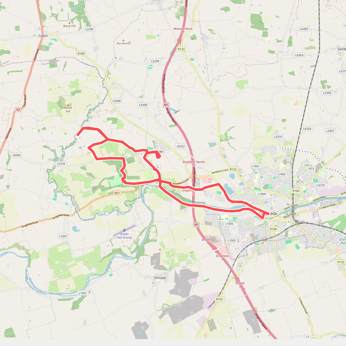
#1. Boyne Valley Camino
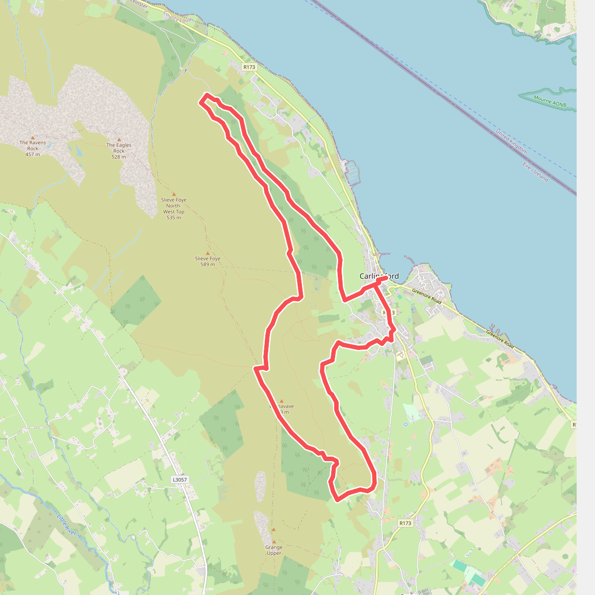
#2. Carlingford - Barnavave
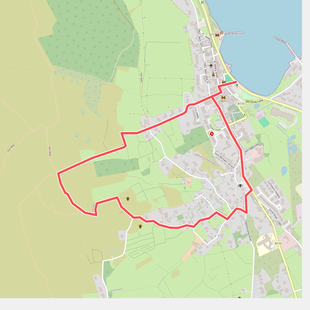
#3. Carlingford - Loop 1A- Commons Loop
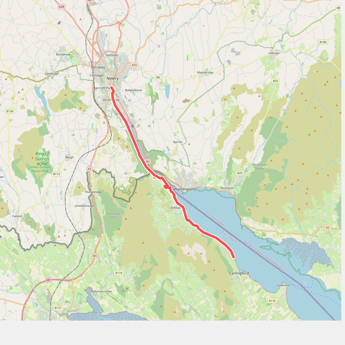
#4. Carlingford Lough Greenway
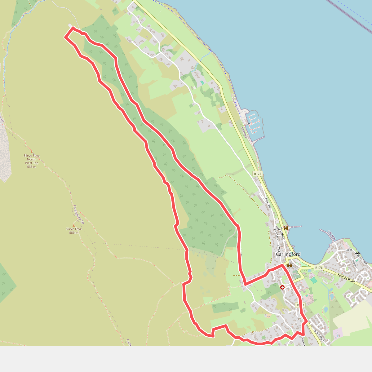
#5. Carlingford - Slieve Foye Loop
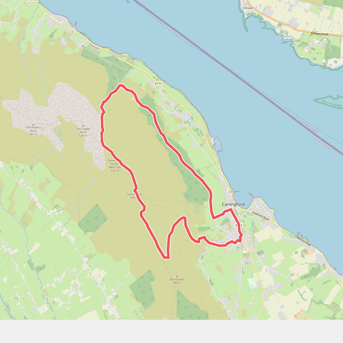
#6. Carlingford - Slieve Foye Mountain Loop
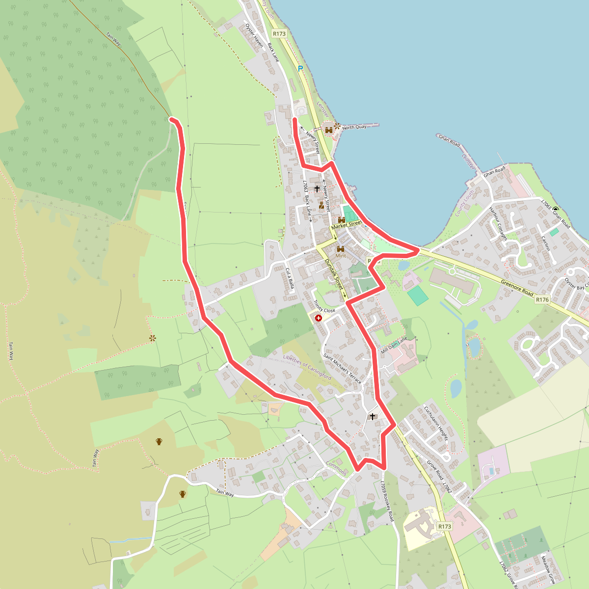
#7. Carlingford - Walk 1 - Carlingford Loop
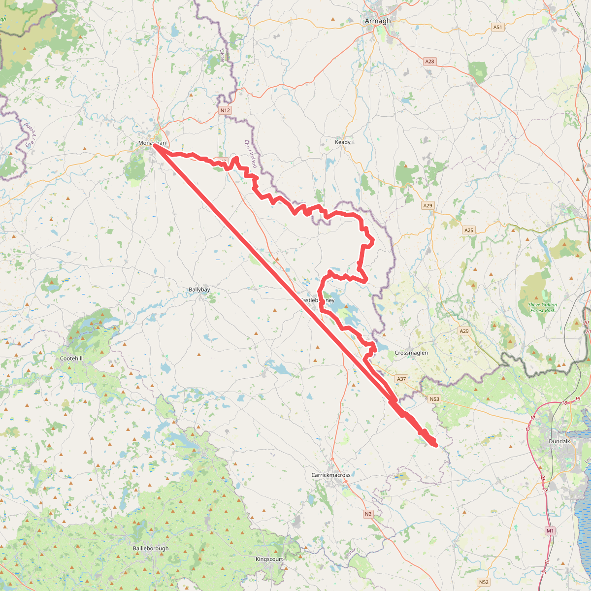
#8. Monaghan Way
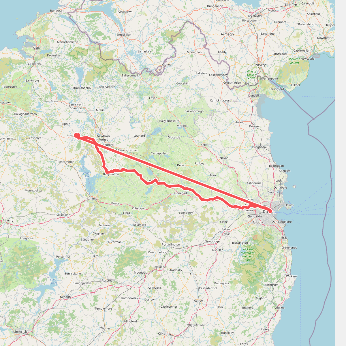
#9. National Famine Way
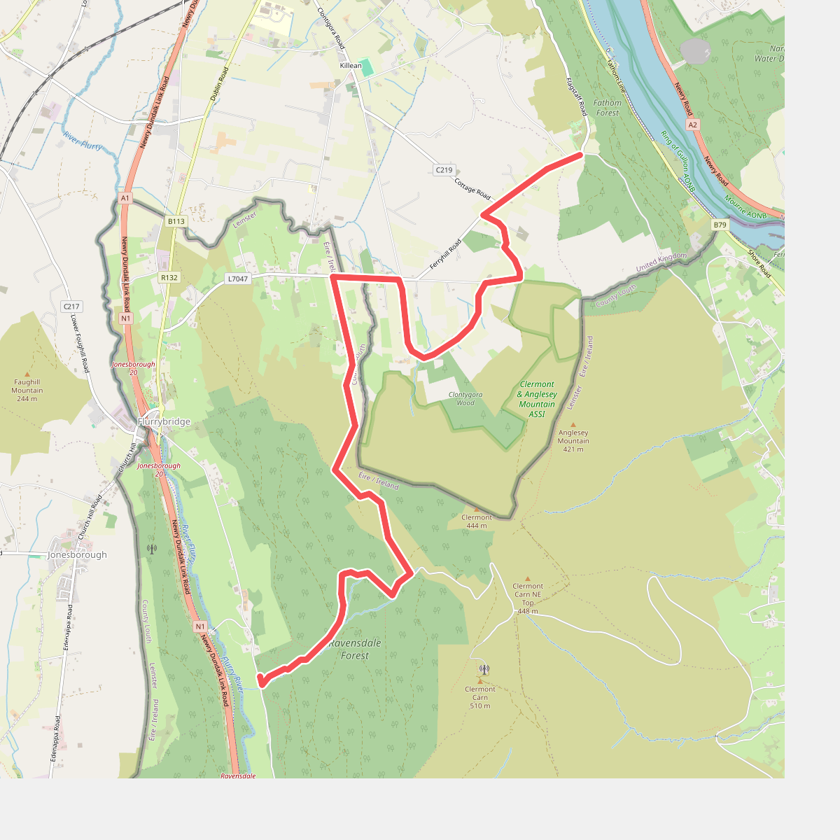
#10. Ring of Gullion Way - Section 2
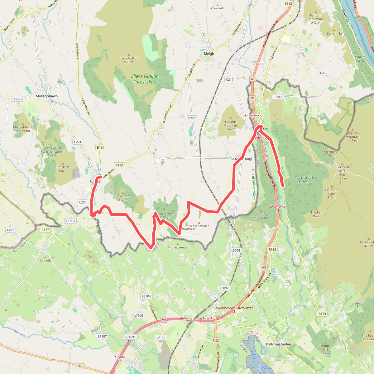
#11. Ring of Gullion Way - Section 3