The best hiking routes in County Longford
Discover the best walks in County Longford. 3 routes on the map, with descriptions, photos and GPX.
About County Longford
County Longford presents a low-lying, watery landscape dominated by peat bogs, pasture, and the slow-moving River Shannon. Walkers should not expect dramatic peaks or deep valleys here; the terrain is resolutely flat to gently undulating. Underfoot, you will mostly encounter gravel forest roads, tarmac canal towpaths, and damp peat tracks. The visual character of the county is defined by this flatness, where the sky dominates and the drainage ditches, straight canal lines, and cutaway bogs show how generations of workers have reshaped the wet midland soil.
Read more
About County Longford
County Longford presents a low-lying, watery landscape dominated by peat bogs, pasture, and the slow-moving River Shannon. Walkers should not expect dramatic peaks or deep valleys here; the terrain is resolutely flat to gently undulating. Underfoot, you will mostly encounter gravel forest roads, tarmac canal towpaths, and damp peat tracks. The visual character of the county is defined by this flatness, where the sky dominates and the drainage ditches, straight canal lines, and cutaway bogs show how generations of workers have reshaped the wet midland soil.
Read moreCounty Longford presents a low-lying, watery landscape dominated by peat bogs, pasture, and the slow-moving River Shannon. Walkers should not expect dramatic peaks or deep valleys here; the terrain is resolutely flat to gently undulating. Underfoot, you will mostly encounter gravel forest roads, tarmac canal towpaths, and damp peat tracks. The visual character of the county is defined by this flatness, where the sky dominates and the drainage ditches, straight canal lines, and cutaway bogs show how generations of workers have reshaped the wet midland soil.
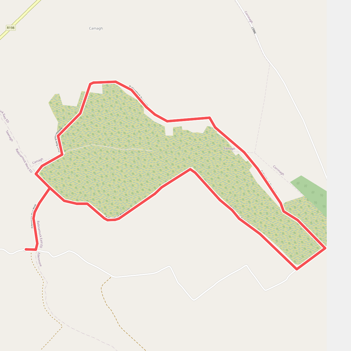
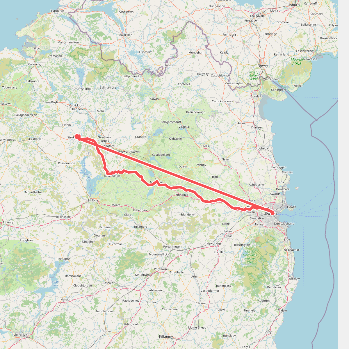
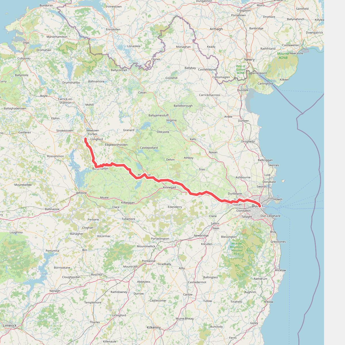
For a walk defined by industrial heritage and still waters, the Royal Canal Way offers a reliable, flat route along the county's southern edge. The path here is consistent, running along grassy banks and gravel towpaths past old stone locks and bridges. In contrast, the paths around Derrycassin Woods in the north of the county bring you under a canopy of mature conifers and broadleaf trees, where the ground is covered in leaf litter and soil, hugging the shoreline of Lough Gowna.
In November, the deciduous woodlands around the northern lakes lose their leaves, opening up clear views across the grey water that are obscured during the summer. The peatlands in the center of the county offer a completely different, open walking experience, though they require sticking to designated gravel tracks to avoid the deep, waterlogged bog holes. While the canal paths near the larger towns can be busier with local walkers, the remote bog roads and forestry tracks remain quiet throughout the year.
Zoom or pan for more routes