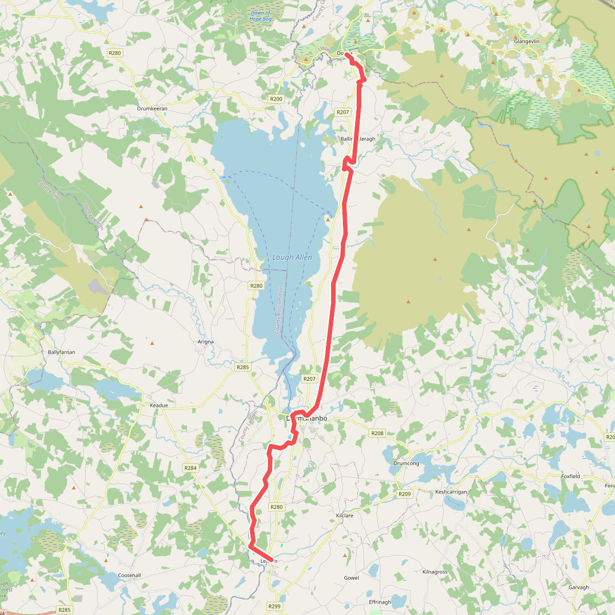
The best hiking routes in County Leitrim
Discover the best walks in County Leitrim. 10 routes on the map, with descriptions, photos and GPX.
About County Leitrim
County Leitrim is divided by Lough Allen into two distinct landscapes. The northern half is dominated by dramatic limestone plateaus and gritstone ridges, where walkers encounter steep escarpments and deep glacial valleys. Underfoot, paths here often cross wet peat, sandstone rubble, and exposed limestone pavement. In contrast, the southern half of the county consists of drumlin country, a dense network of small, rounded clay hills left behind by retreating glaciers, interspersed with small lakes and canal towpaths.
Read more
About County Leitrim
County Leitrim is divided by Lough Allen into two distinct landscapes. The northern half is dominated by dramatic limestone plateaus and gritstone ridges, where walkers encounter steep escarpments and deep glacial valleys. Underfoot, paths here often cross wet peat, sandstone rubble, and exposed limestone pavement. In contrast, the southern half of the county consists of drumlin country, a dense network of small, rounded clay hills left behind by retreating glaciers, interspersed with small lakes and canal towpaths.
Read moreCounty Leitrim is divided by Lough Allen into two distinct landscapes. The northern half is dominated by dramatic limestone plateaus and gritstone ridges, where walkers encounter steep escarpments and deep glacial valleys. Underfoot, paths here often cross wet peat, sandstone rubble, and exposed limestone pavement. In contrast, the southern half of the county consists of drumlin country, a dense network of small, rounded clay hills left behind by retreating glaciers, interspersed with small lakes and canal towpaths.
For those seeking height, the Dartry Mountains in the north offer high-altitude walking along cliffs like those at Eagles Rock, though there are no alpine peaks or jagged ridges to be found. The walking here is characterized by wide, grassy plateau tops and boggy terrain. To the south, the routes are much flatter, following gravel forestry tracks, grassy canal banks along the Shannon-Erne Waterway, and quiet tarmac lanes that wind between the drumlins.
In October, the deciduous woodlands around Derrycarne Wood on the shores of Lough Bofin turn a deep rust color, making it a distinct choice for low-level walking. While the northern uplands feel remote and can be quiet even in midsummer, the lakeside paths and canal ways in the south are more frequented by boaters and local walkers. Leitrim does not offer high-mountain scrambles, but rather a choice between exposed peatland ridges and sheltered, undulating lakeside paths.
Zoom or pan for more routes
Hiking routes in County Leitrim (10)
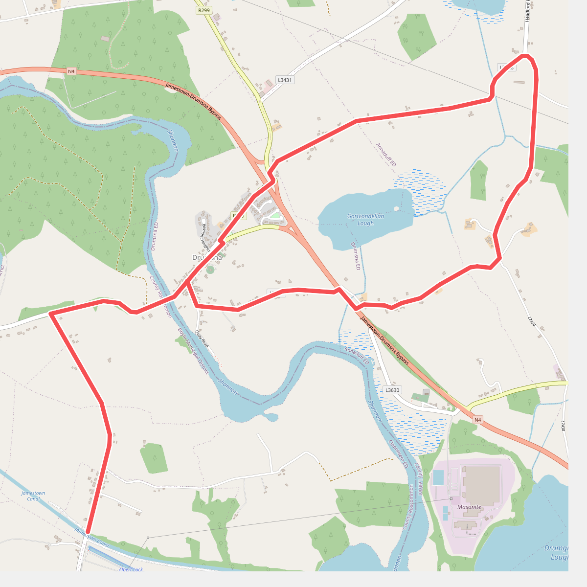
#1. Anthony TrollopeTrail
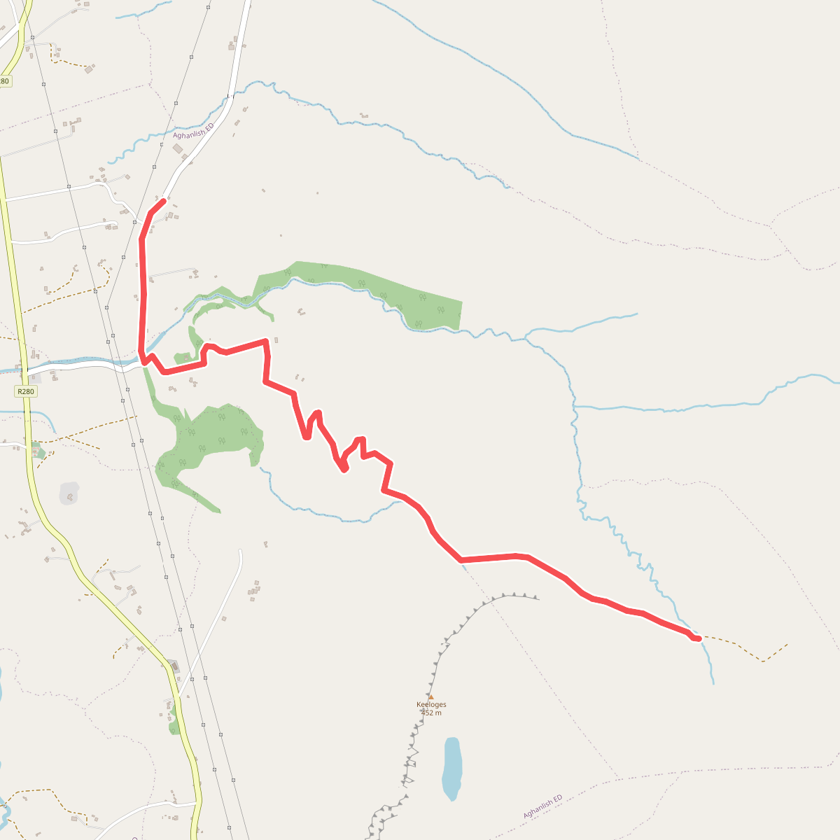
#2. Arroo Trail
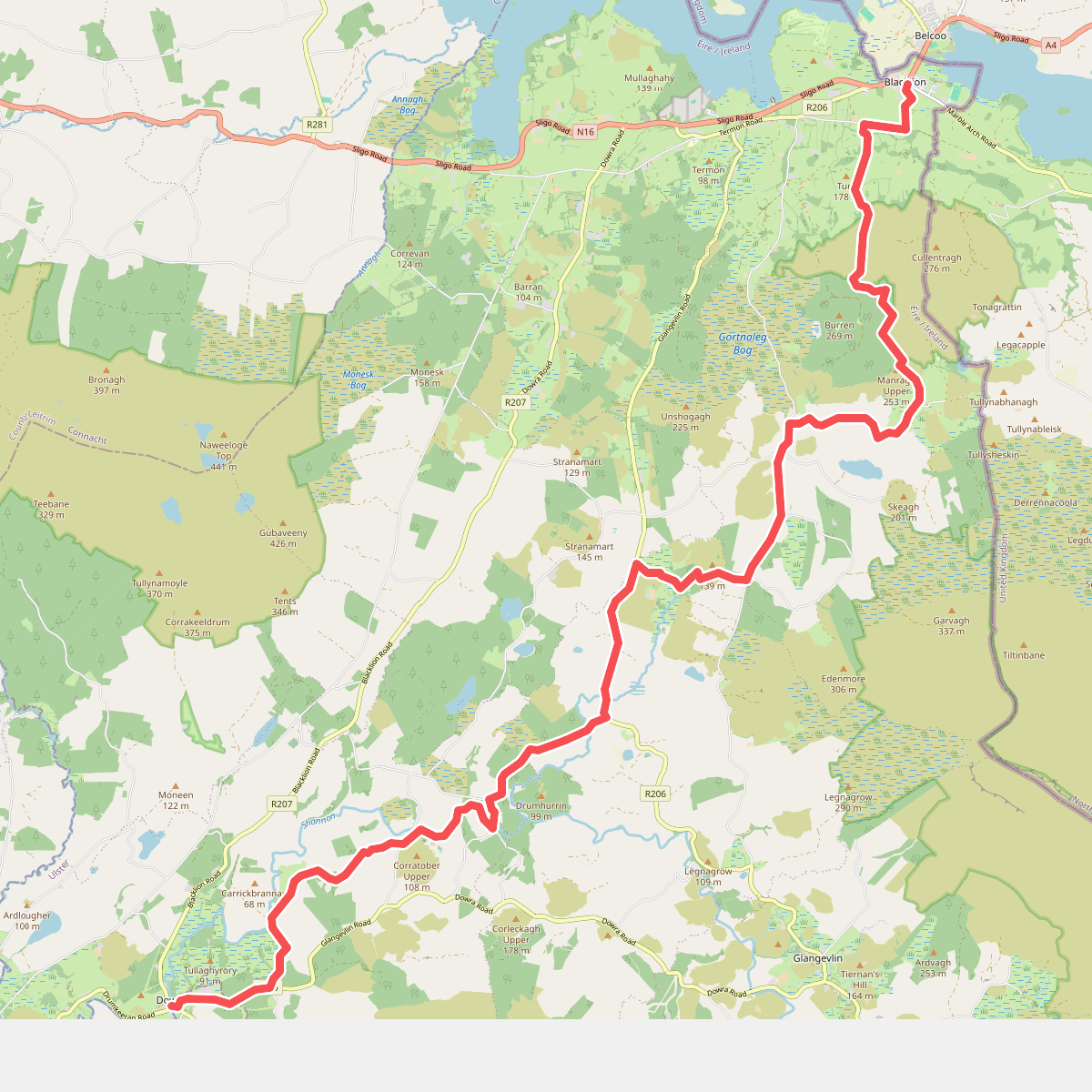
#3. Cavan Way
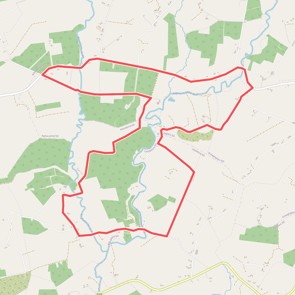
#4. Crummy Loop
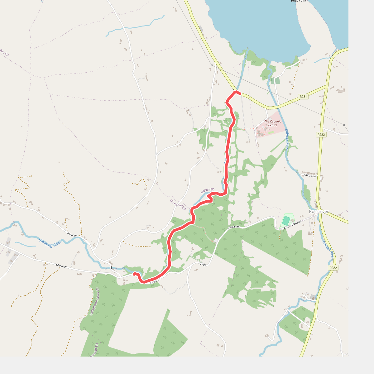
#5. Glenaniff Waterfalls
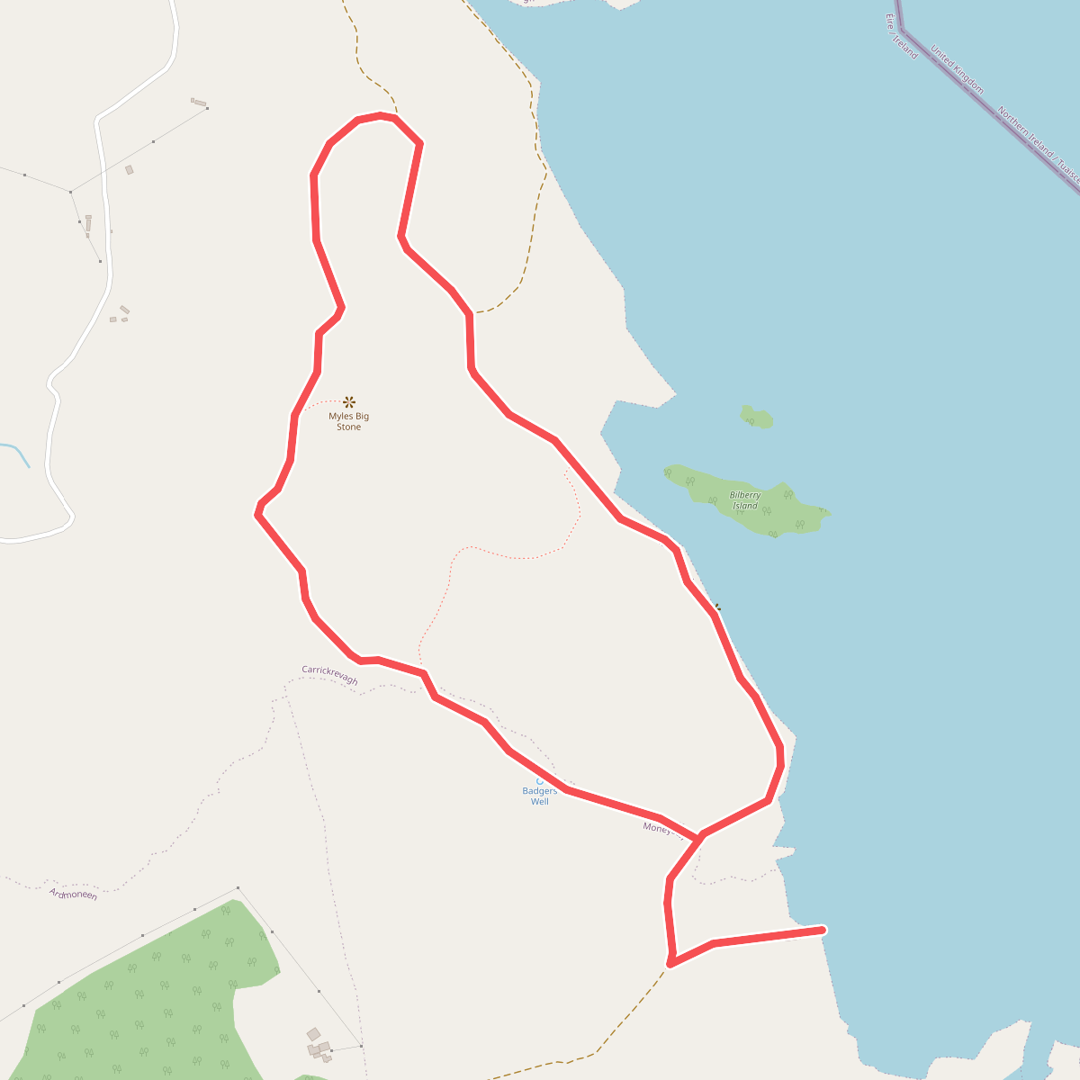
#6. Glenfarne Cycle and Walk Loop
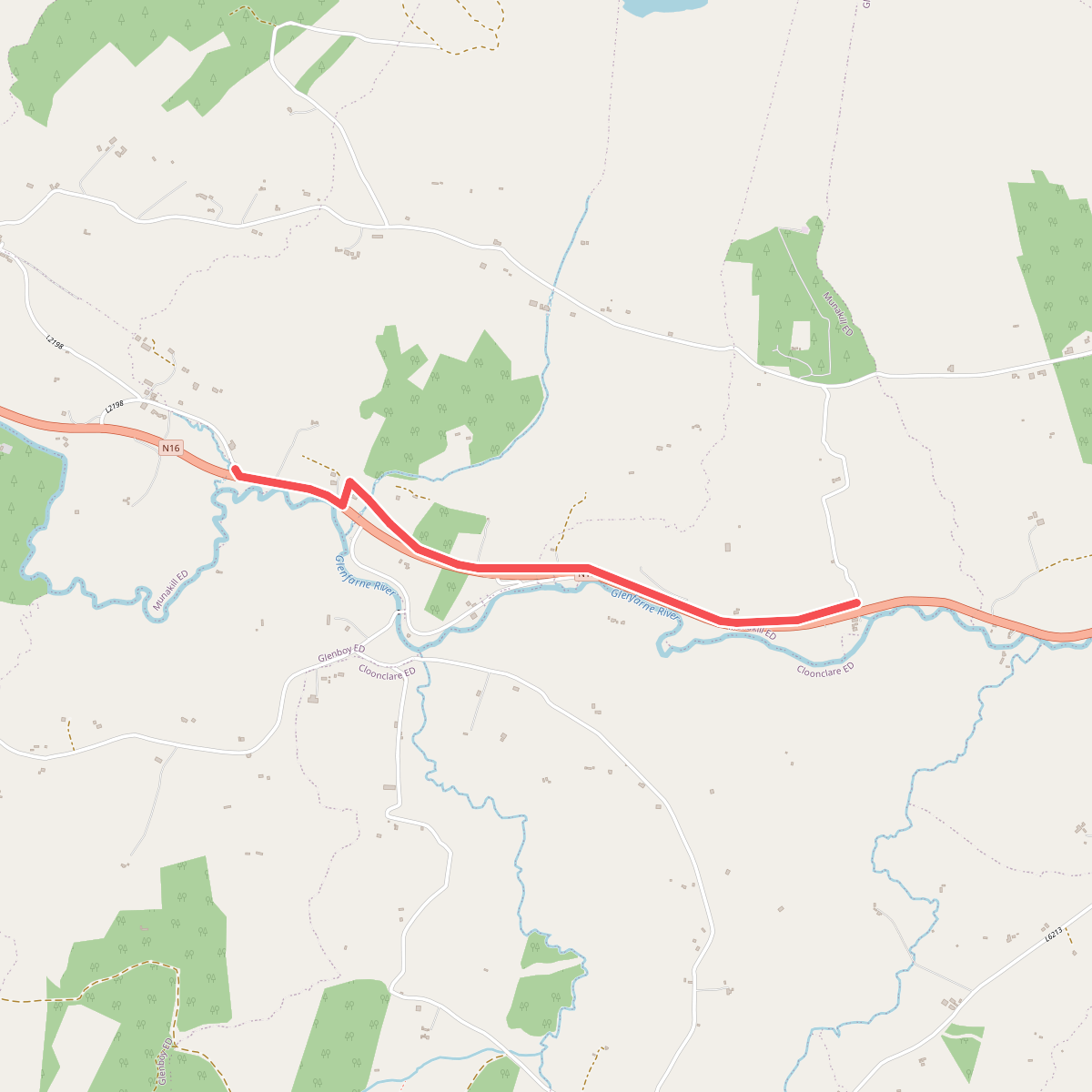
#7. Glenfarne Greenway
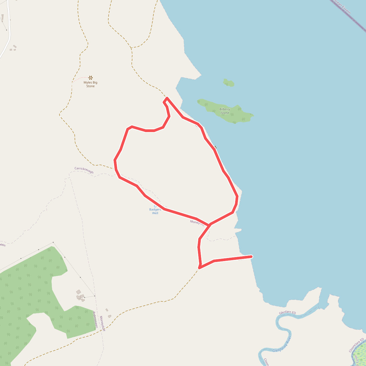
#8. Lough MacNean Walk
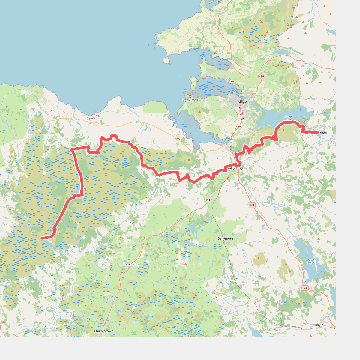
#9. Sligo Way