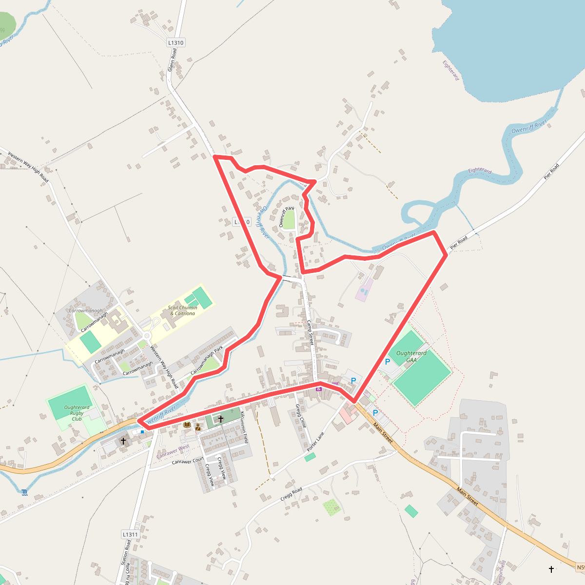
The best hiking routes in County Galway
Discover the best walks in County Galway. 16 routes on the map, with descriptions, photos and GPX.
About County Galway
County Galway divides sharply into two distinct walking landscapes, separated by the massive waters of Lough Corrib. To the west lies Connemara National Park, a terrain dominated by dark quartzite peaks, wet heath, and deep blanket bog. Here, walkers generally follow gravel tracks or wooden boardwalks designed to keep boots out of the saturated peat, though rougher mountain routes quickly turn into steep, trackless rock and heather. The vegetation is low and scrubby, shaped by grazing and poor soils, meaning walkers are fully exposed to the elements with very little tree cover.
Read more
About County Galway
County Galway divides sharply into two distinct walking landscapes, separated by the massive waters of Lough Corrib. To the west lies Connemara National Park, a terrain dominated by dark quartzite peaks, wet heath, and deep blanket bog. Here, walkers generally follow gravel tracks or wooden boardwalks designed to keep boots out of the saturated peat, though rougher mountain routes quickly turn into steep, trackless rock and heather. The vegetation is low and scrubby, shaped by grazing and poor soils, meaning walkers are fully exposed to the elements with very little tree cover.
Read moreCounty Galway divides sharply into two distinct walking landscapes, separated by the massive waters of Lough Corrib. To the west lies Connemara National Park, a terrain dominated by dark quartzite peaks, wet heath, and deep blanket bog. Here, walkers generally follow gravel tracks or wooden boardwalks designed to keep boots out of the saturated peat, though rougher mountain routes quickly turn into steep, trackless rock and heather. The vegetation is low and scrubby, shaped by grazing and poor soils, meaning walkers are fully exposed to the elements with very little tree cover.
To the south, stretching across the county boundary, the landscape changes completely into the limestone pavement of the Burren National Park. Underfoot, the ground is a grey, terraced expanse of bare rock, split by deep crevices called grykes where delicate ferns and wildflowers shelter. Walking here requires careful stepping on uneven, hard stone rather than navigating soft mud. In May, these limestone terraces are brightened by the blue flowers of spring gentians, contrasting with the otherwise grey and stony hillsides.
This is not a county of gentle woodland strolls or manicured parkland. Walkers should expect either the steep, boggy ascents of the western mountains or the firm, ankle-straining limestone terraces of the south. Both areas are highly exposed, lacking the shelter of deep valleys or forests, so the choice comes down to whether you prefer climbing through wet peat or navigating dry, fractured stone.
Nature areas in County Galway
Zoom or pan for more routes
Hiking routes in County Galway (16)
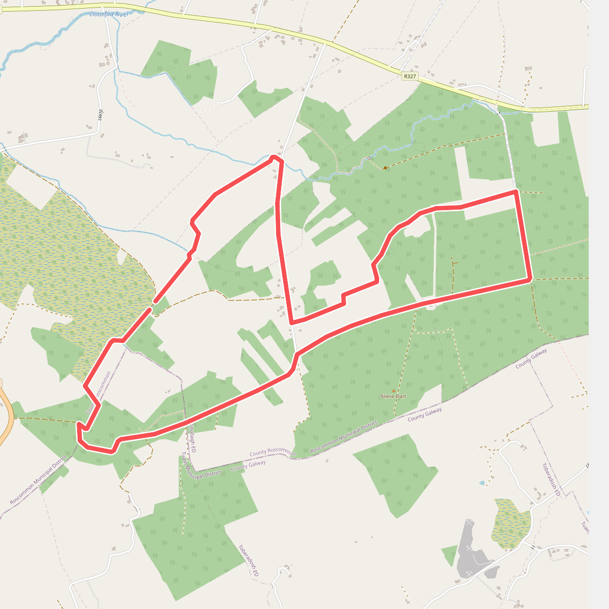
#1. Cloonfad Loop
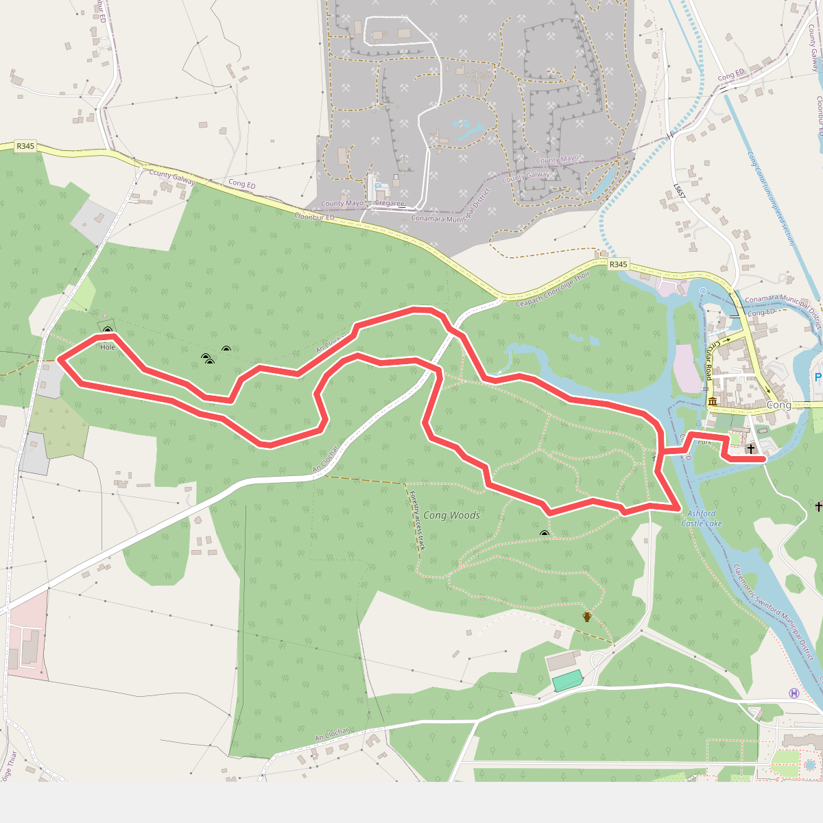
#2. Cong Nature Trail
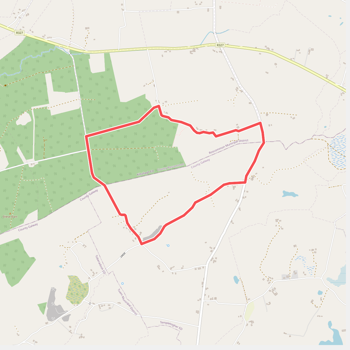
#3. Cortoon
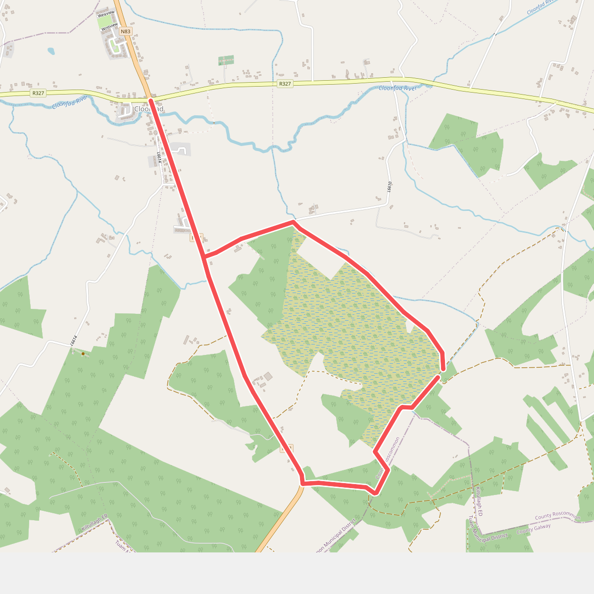
#4. Easgaidh
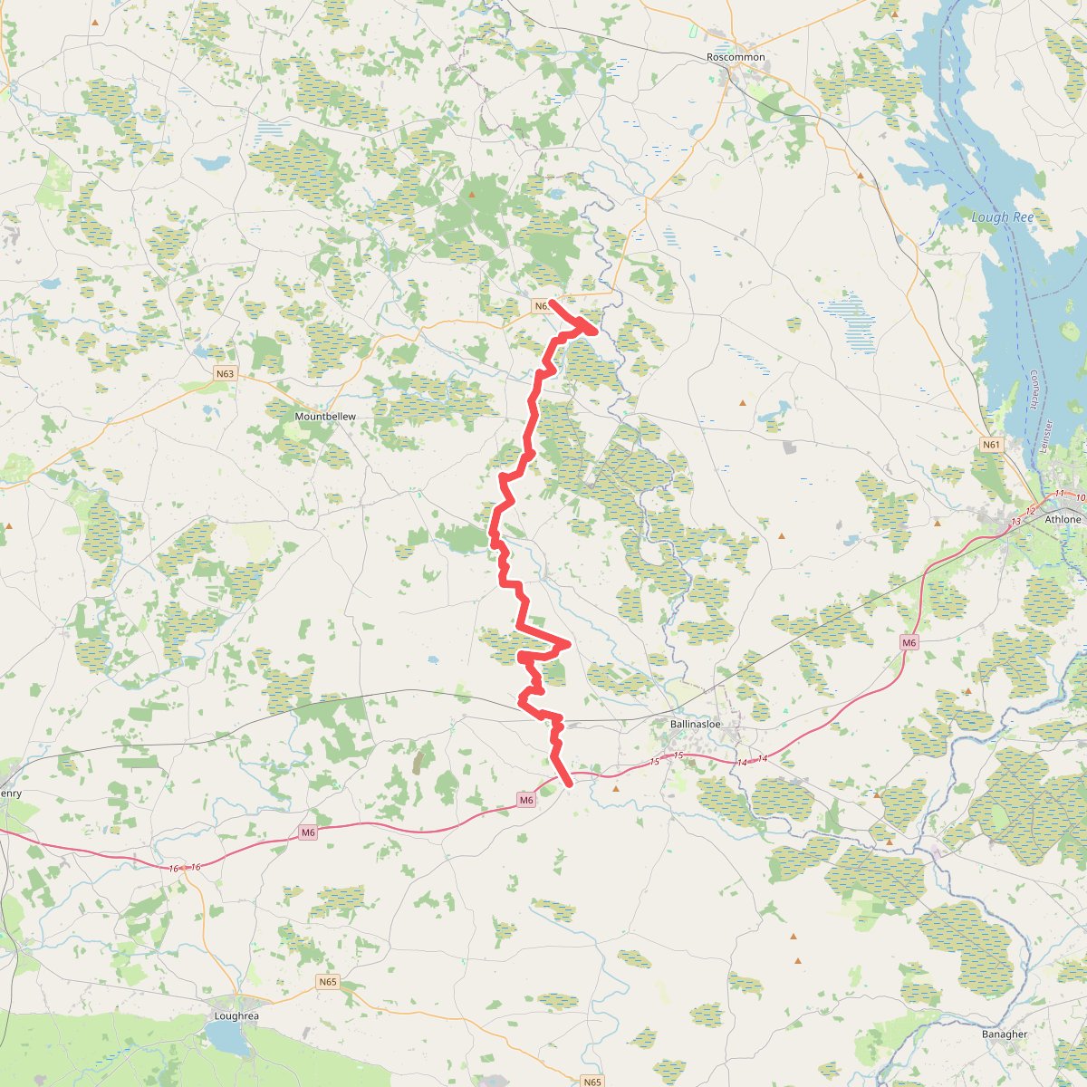
#5. Hymany Way
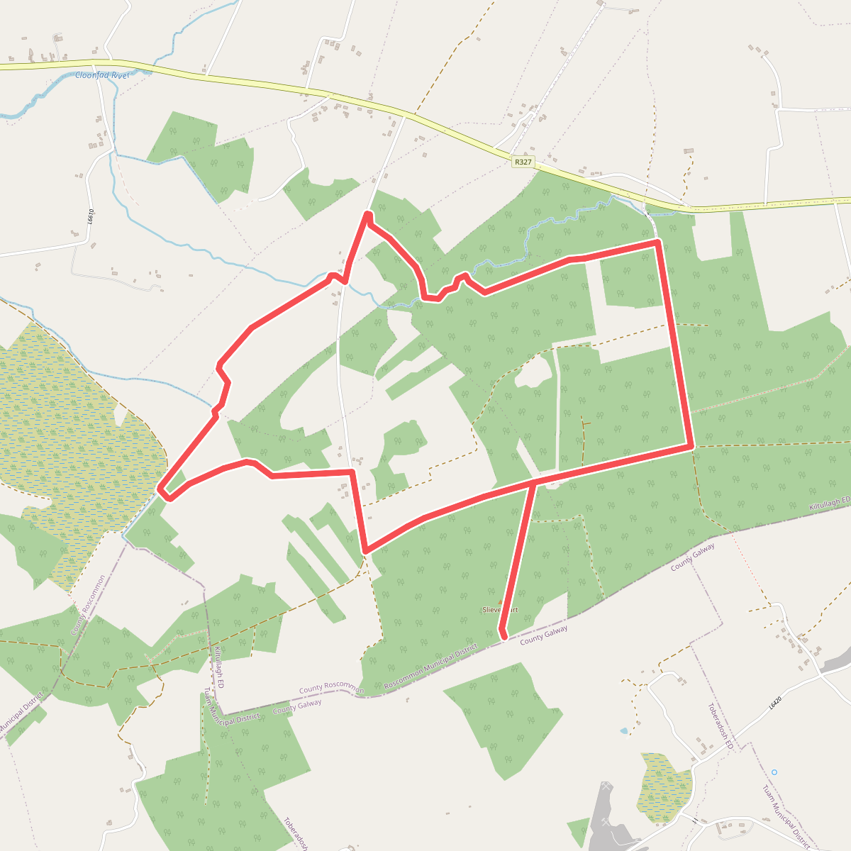
#6. Iath Ghlas
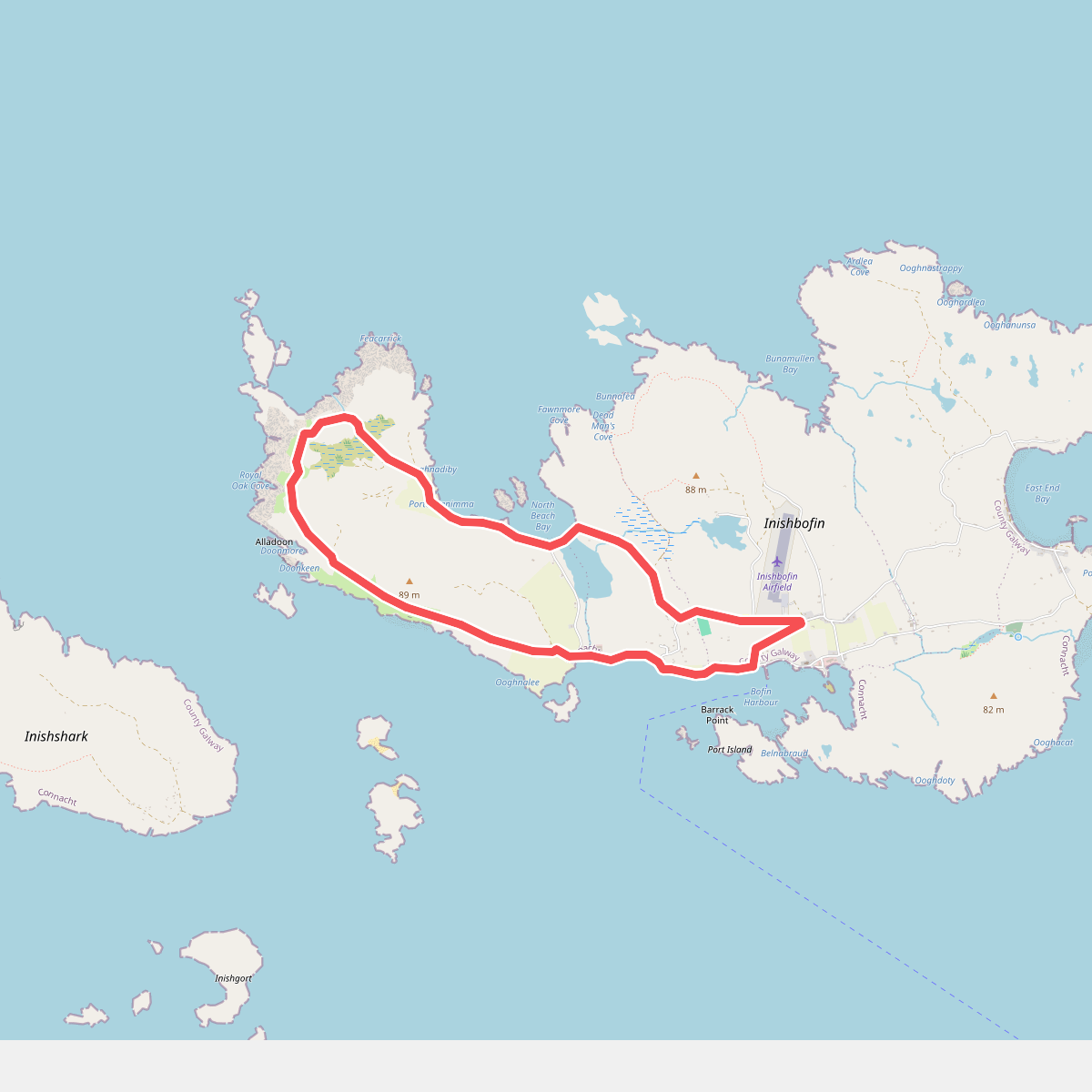
#7. Inishbofin Westquarter Loop Walk
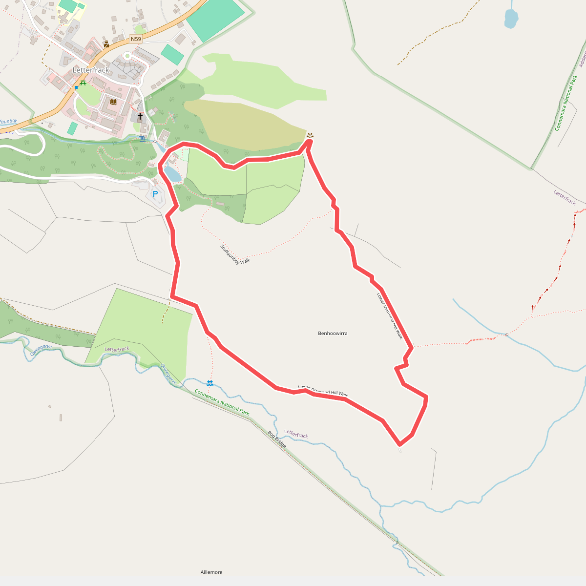
#8. Lower Diamond Hill walk
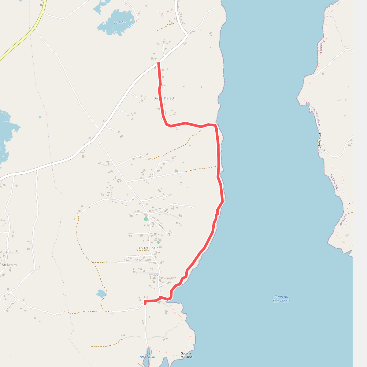
#9. Lúibín Garumna
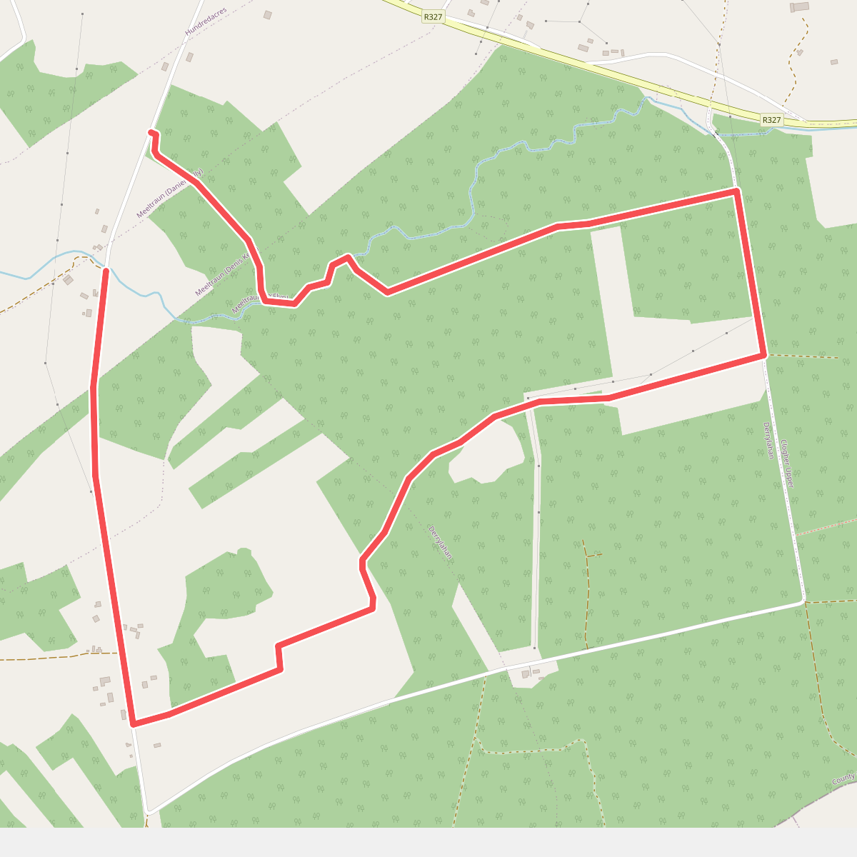
#10. Nature Walk
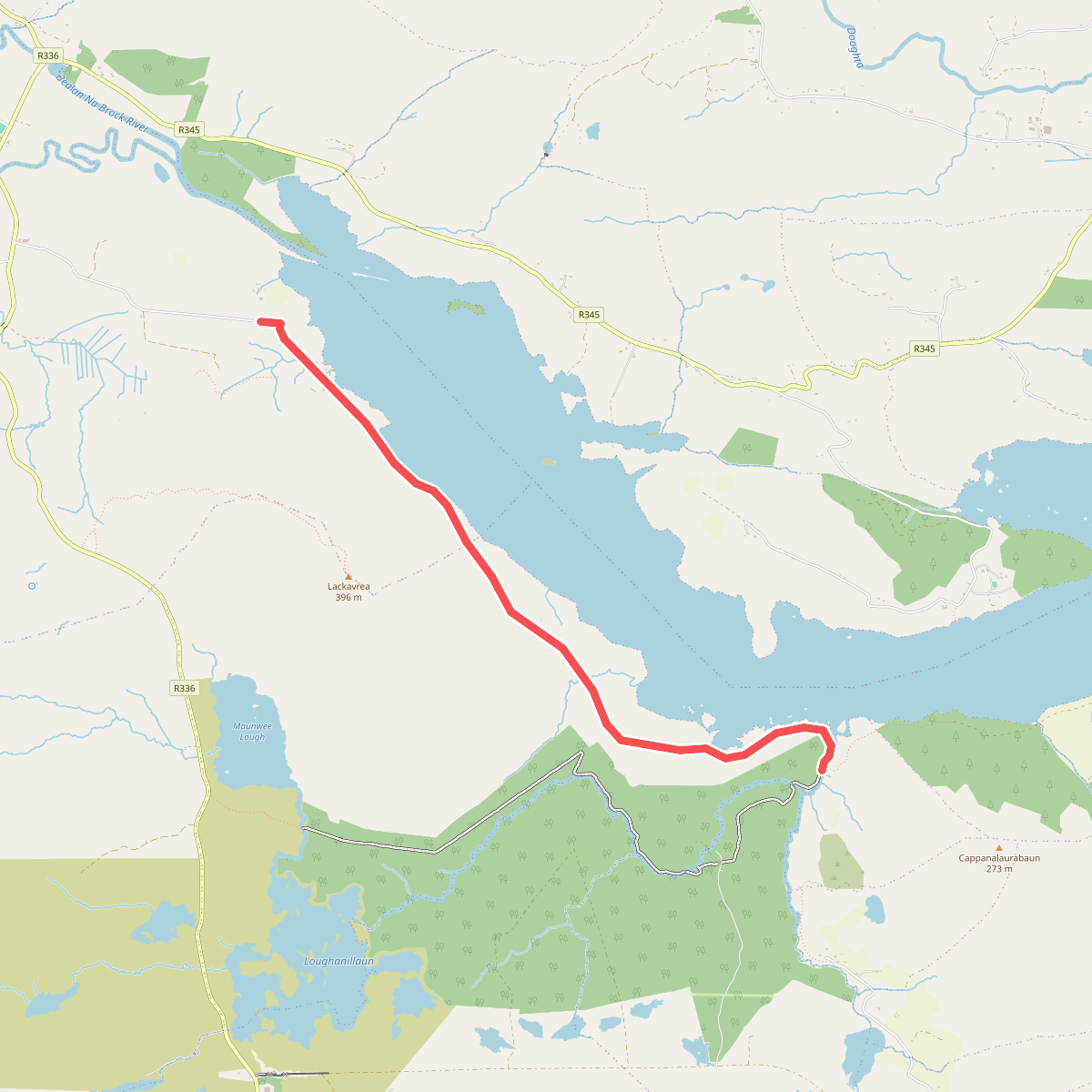
#11. Old Western Way Route