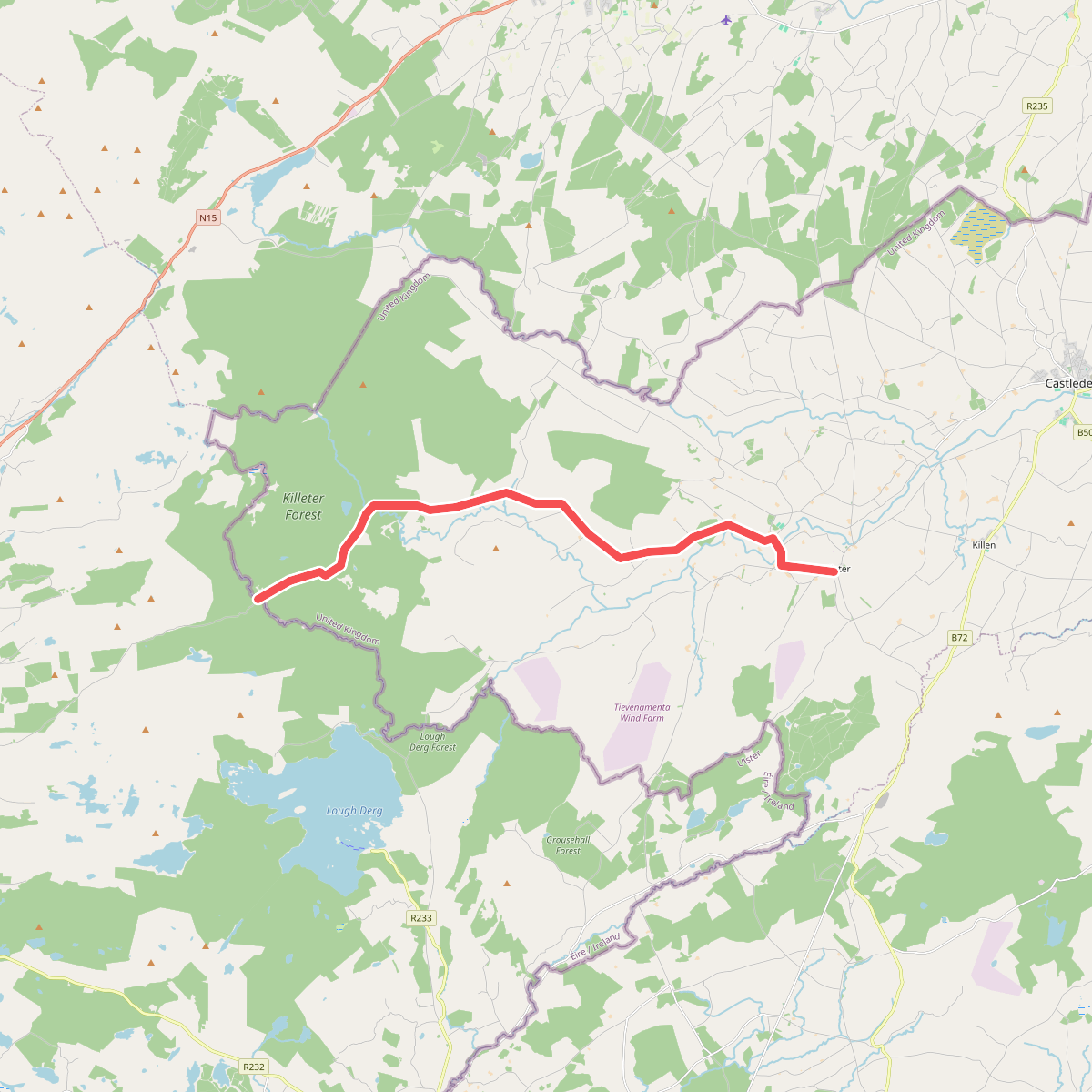
The best hiking routes in County Donegal
Discover the best walks in County Donegal. 24 routes on the map, with descriptions, photos and GPX.
About County Donegal
County Donegal offers two distinct walking environments: the rugged, granite-dominated interior and the deeply indented Atlantic coastline. In the interior, Páirc Naisiúnta Ghleann Bheatha (Glenveagh National Park) showcases a deep glaciated valley where steep quartzite cliffs flank a long freshwater lough. Outside of this sheltered glen, the terrain quickly transitions into vast blanket bogs and exposed upland ridges where navigation requires careful attention.
Read more
About County Donegal
County Donegal offers two distinct walking environments: the rugged, granite-dominated interior and the deeply indented Atlantic coastline. In the interior, Páirc Naisiúnta Ghleann Bheatha (Glenveagh National Park) showcases a deep glaciated valley where steep quartzite cliffs flank a long freshwater lough. Outside of this sheltered glen, the terrain quickly transitions into vast blanket bogs and exposed upland ridges where navigation requires careful attention.
Read moreCounty Donegal offers two distinct walking environments: the rugged, granite-dominated interior and the deeply indented Atlantic coastline. In the interior, Páirc Naisiúnta Ghleann Bheatha (Glenveagh National Park) showcases a deep glaciated valley where steep quartzite cliffs flank a long freshwater lough. Outside of this sheltered glen, the terrain quickly transitions into vast blanket bogs and exposed upland ridges where navigation requires careful attention.
Walking in Glenveagh means navigating a mix of gravel estate tracks, rough peat paths, and sections of wooden boardwalk designed to protect the fragile bogland. The landscape here is defined by its lack of natural woodland, save for the native oak and birch woods preserved deep within the glen. Underfoot, walkers should expect wet, fibrous peat and slippery stone, reflecting the high rainfall that continuously shapes this acidic terrain.
For those choosing where to walk, the contrast is straightforward. The national park provides structured, linear routes along the valley floor with clear trail marking, making it suitable for straightforward navigation. In contrast, the surrounding Donegal highlands offer no waymarked paths, requiring walkers to negotiate pathless heather, bog holes, and steep scree slopes without waypoints.
Nature areas in County Donegal
Zoom or pan for more routes
Hiking routes in County Donegal (24)
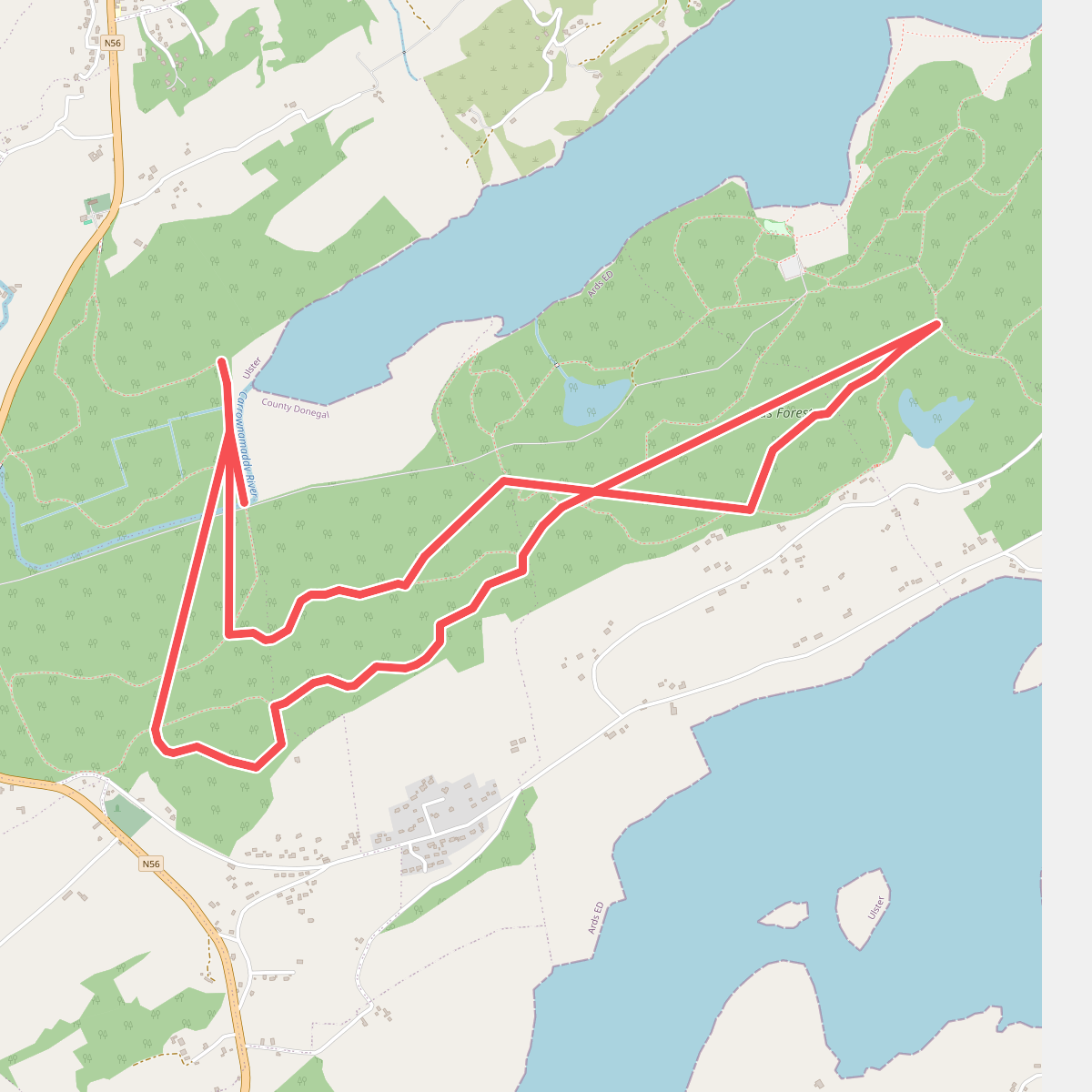
#1. Ards Forest - Red Walk
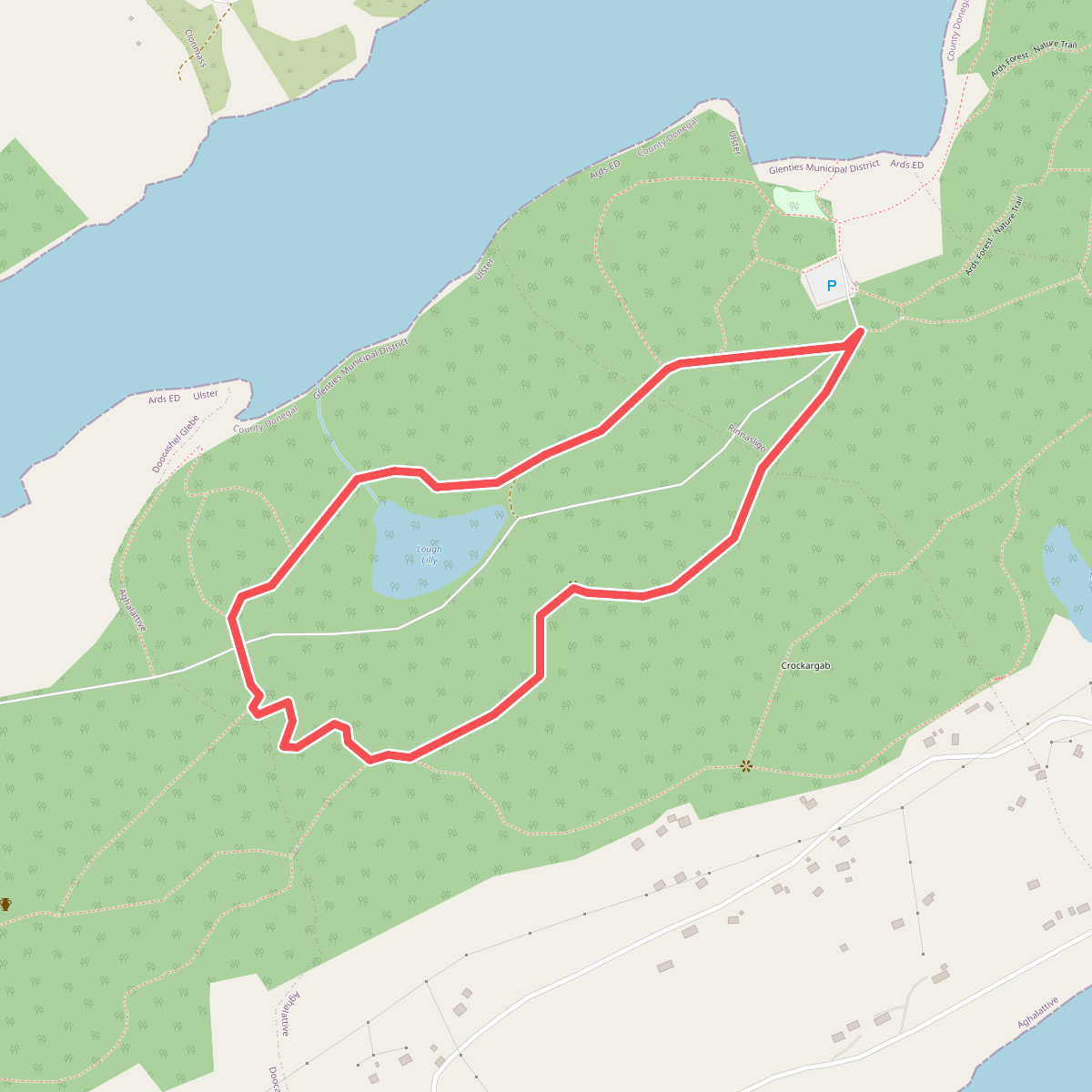
#2. Ards Forest - Yellow Route
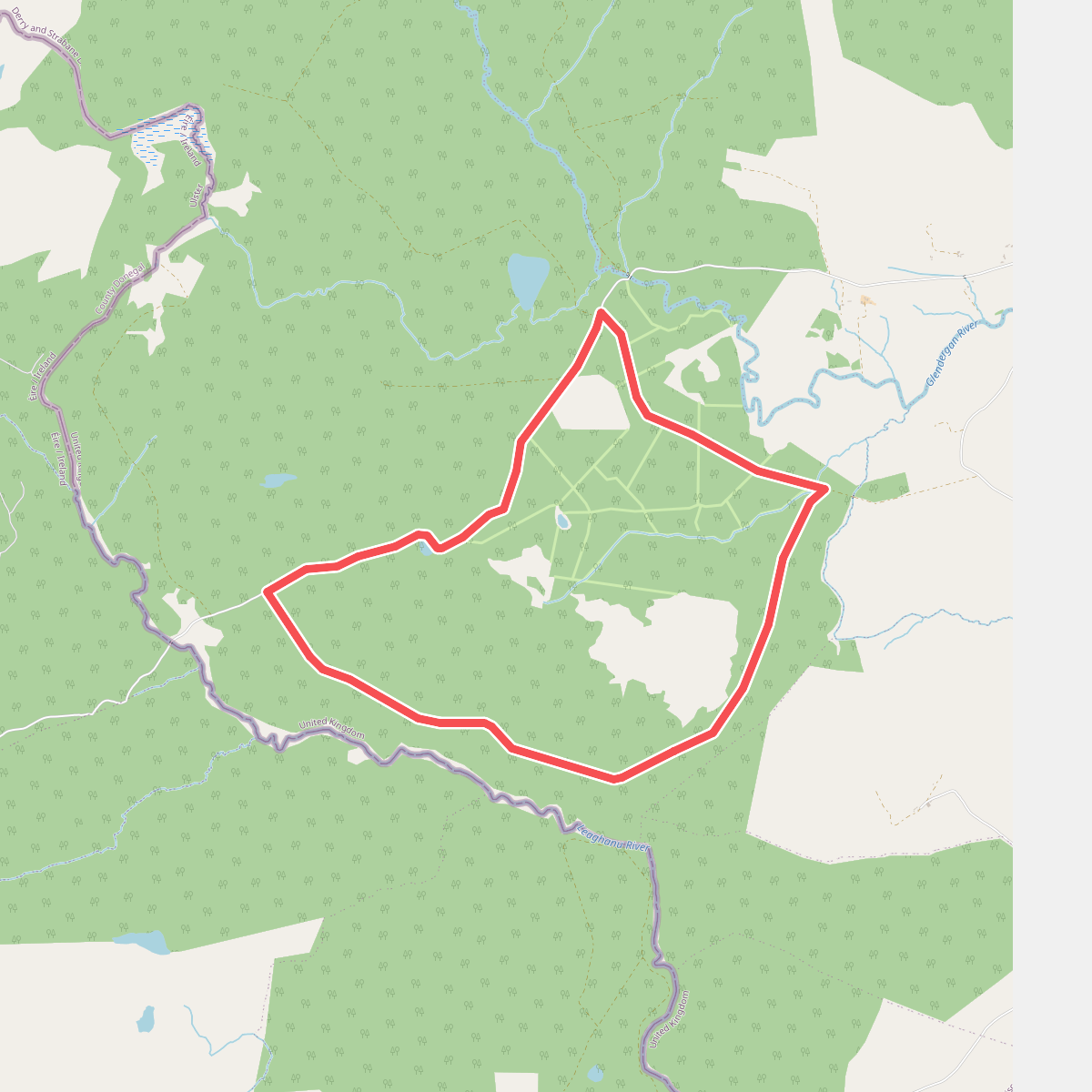
#3. Bannadoo Trail
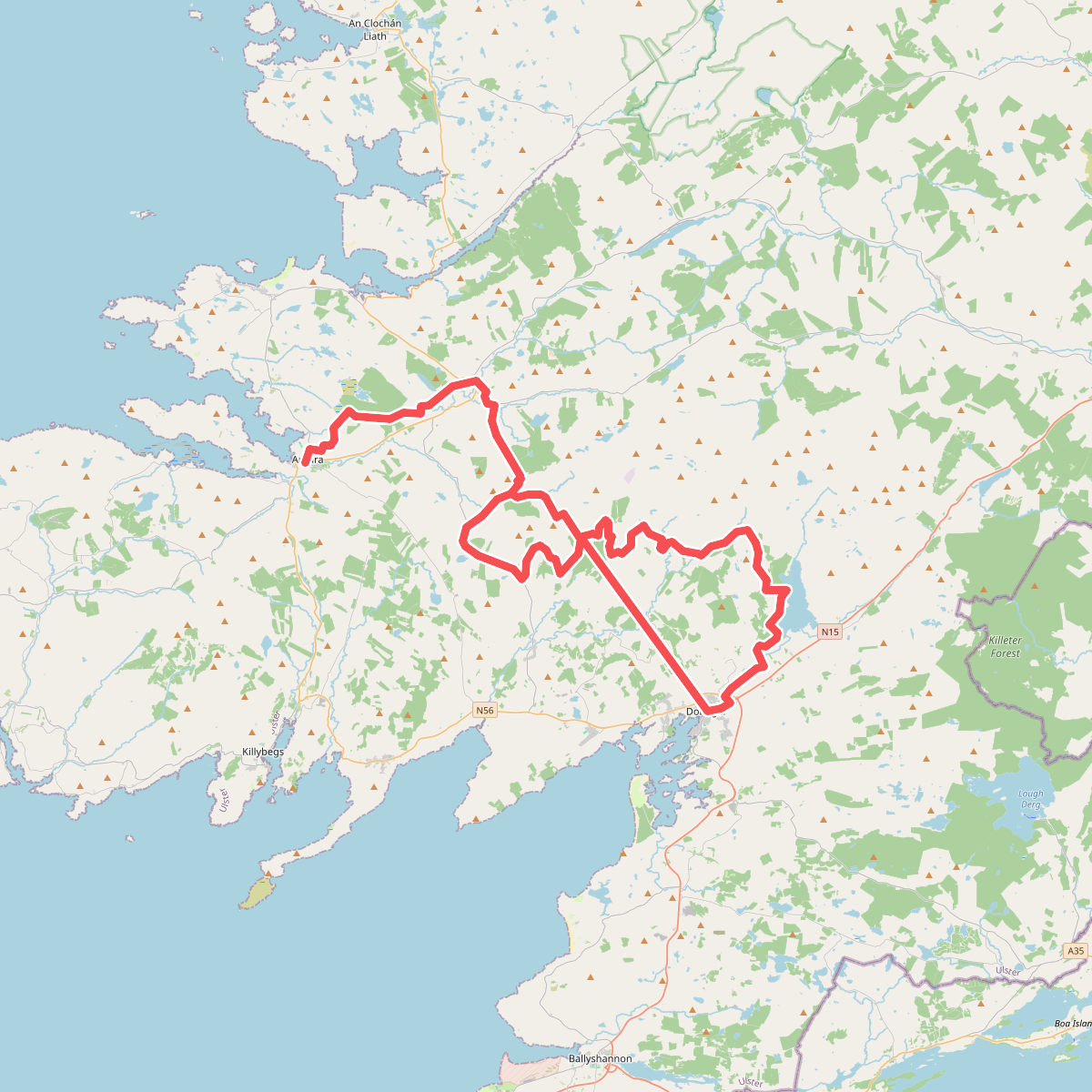
#4. Bluestack Way
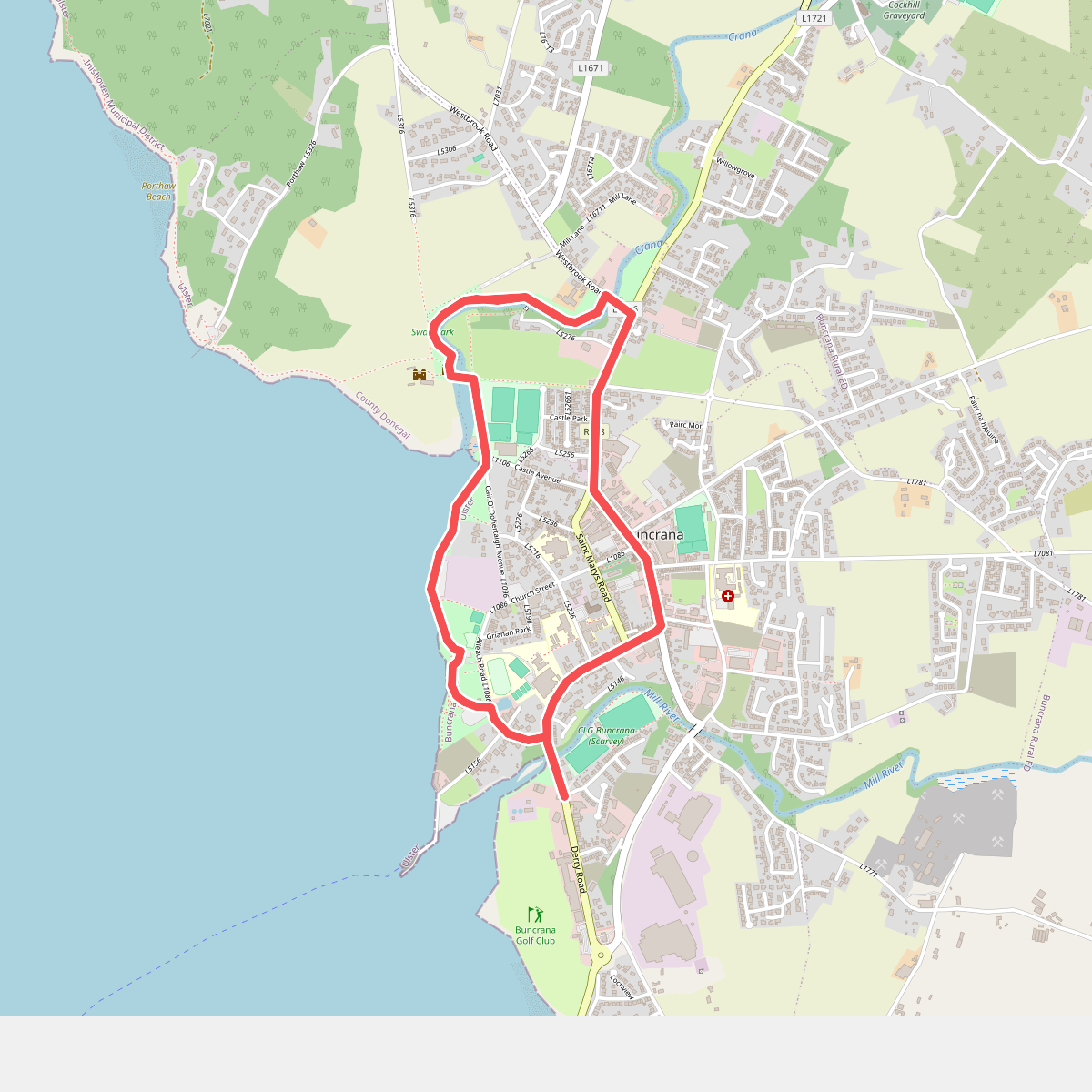
#5. Buncrana Heritage Trail
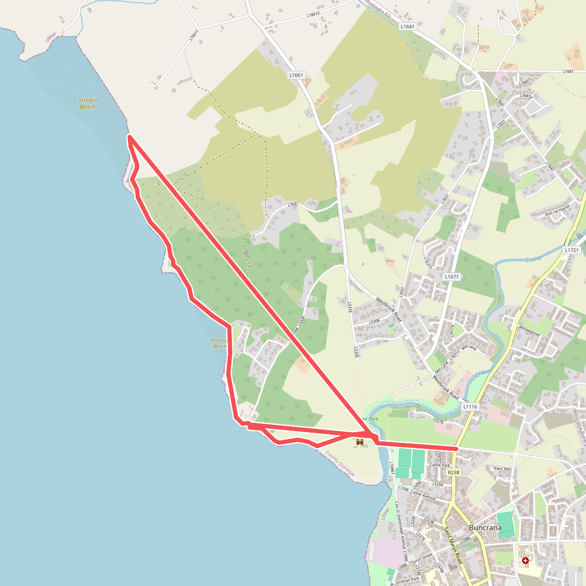
#6. Buncrana Shore Path Coastal Walk
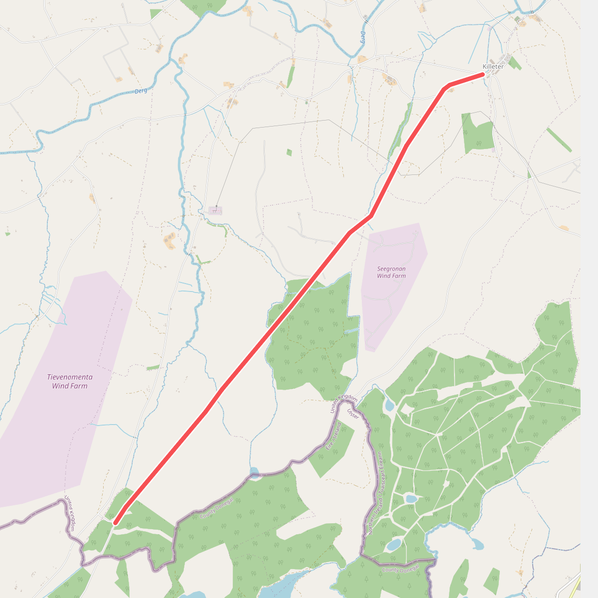
#7. Causeway Hill - From Killeter Village
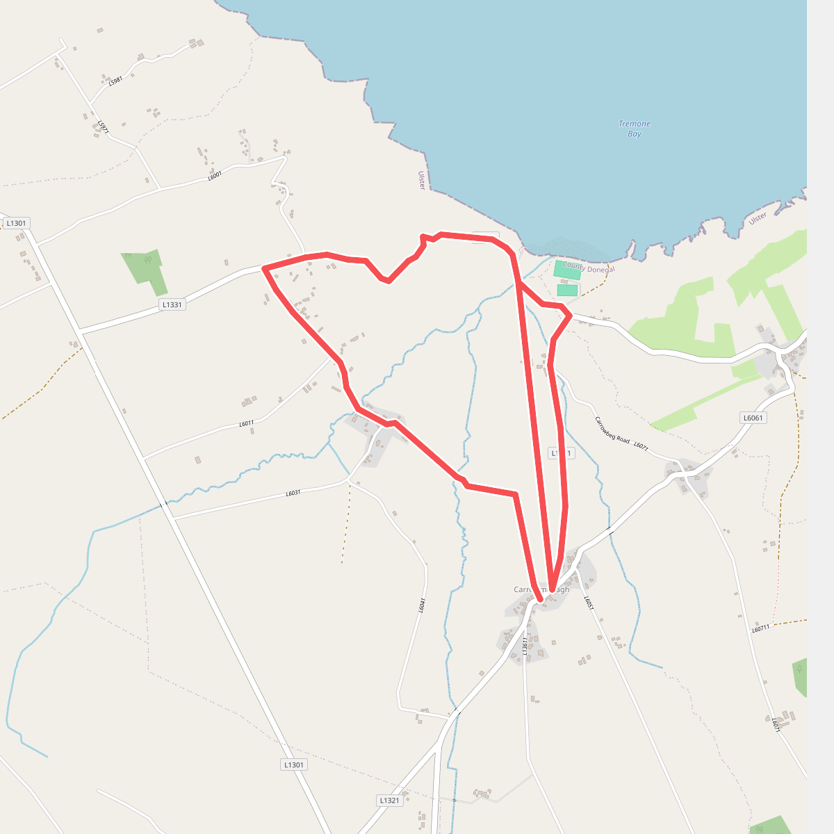
#8. D'Arcy Magee Walk
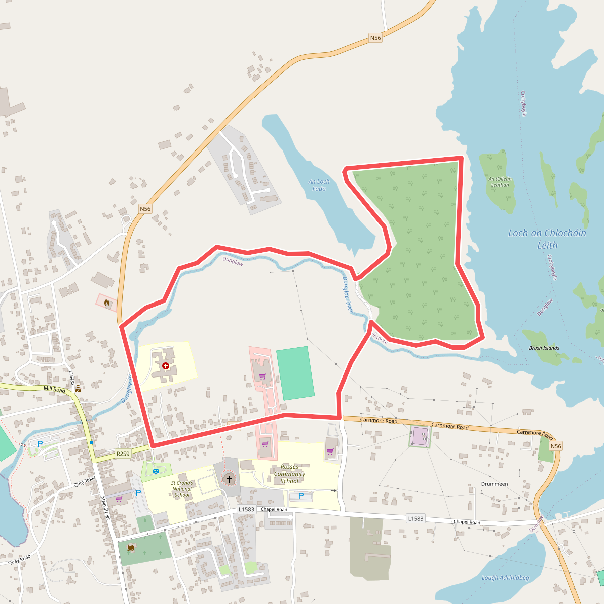
#9. Dungloe River Walk incorporating Cope Mountain Walk
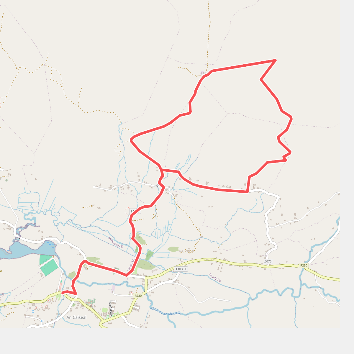
#10. Glencolmcille - Drum Loop
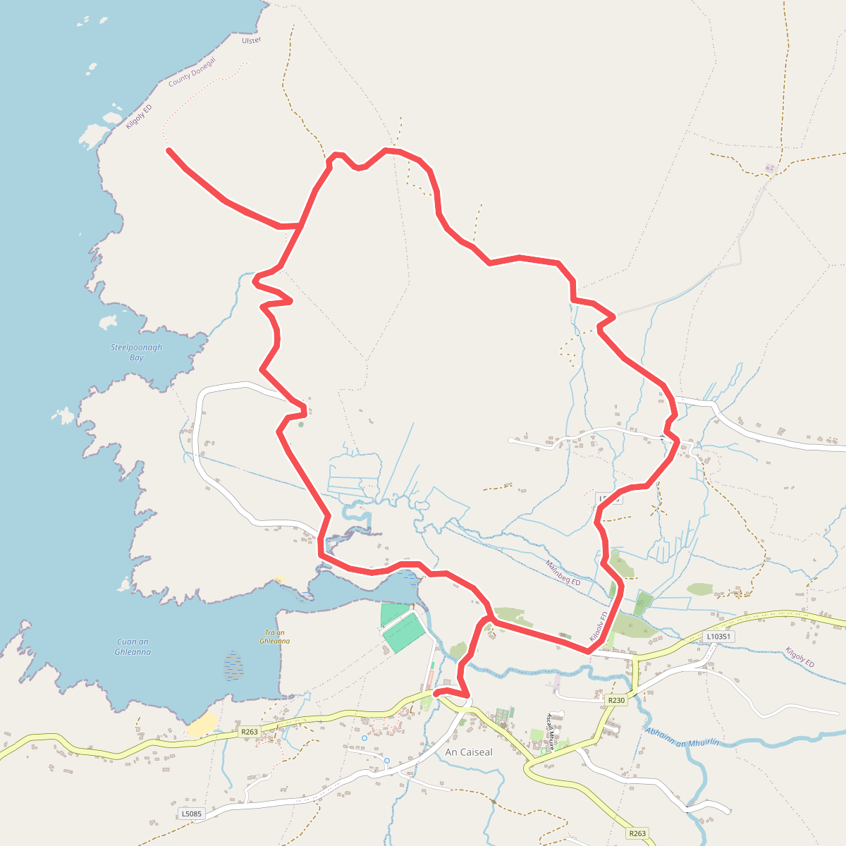
#11. Glencolmcille - Tower Loop