

The best hiking routes in Central Bohemian Region
Discover the best walks in Central Bohemian Region. 528 routes on the map, with descriptions, photos and GPX.
About Central Bohemian Region
The Central Bohemian Region offers distinct walking terrains shaped by its geology, ranging from deep river canyons to sandstone labyrinth forests. If you prefer walking on firm forest tracks under dense broadleaf canopy, the western areas like CHKO Křivoklátsko provide steep, wooded valleys carved by the Berounka River. In contrast, walking in CHKO Český kras means navigating limestone paths, where the underfoot is often stony and dry, leading past active quarries and steep karst gorges.
Read more
About Central Bohemian Region
The Central Bohemian Region offers distinct walking terrains shaped by its geology, ranging from deep river canyons to sandstone labyrinth forests. If you prefer walking on firm forest tracks under dense broadleaf canopy, the western areas like CHKO Křivoklátsko provide steep, wooded valleys carved by the Berounka River. In contrast, walking in CHKO Český kras means navigating limestone paths, where the underfoot is often stony and dry, leading past active quarries and steep karst gorges.
Read moreThe Central Bohemian Region offers distinct walking terrains shaped by its geology, ranging from deep river canyons to sandstone labyrinth forests. If you prefer walking on firm forest tracks under dense broadleaf canopy, the western areas like CHKO Křivoklátsko provide steep, wooded valleys carved by the Berounka River. In contrast, walking in CHKO Český kras means navigating limestone paths, where the underfoot is often stony and dry, leading past active quarries and steep karst gorges.
For those seeking sandstone formations and softer ground, chráněná krajinná oblast Kokořínsko - Máchův kraj and CHKO Český ráj feature networks of sandy paths winding through narrow rock towers and damp pine-forested ravines. These northern areas are highly popular, meaning well-known rock formations can be busier, whereas the southern granite hills of CHKO Blaník offer a quieter, more uniform forest walk on dirt tracks. CHKO Brdy, a former military training area, presents a completely different character with wide, open gravel roads through vast spruce plantations and peat bogs.
This region does not have high alpine peaks or dramatic mountain ridges; the walking is characterized by gently rolling plateaus cut by sudden valleys. In October, the beech forests of CHKO Křivoklátsko turn a deep yellow, making the leaf-littered paths highly visible, while the sandy tracks of chráněná krajinná oblast Kokořínsko - Máchův kraj remain green with pine needles. Your choice depends on whether you want the rugged limestone steps of the karst or the softer, flatter sandy paths of the pine forests.
Nature areas in Central Bohemian Region
Zoom or pan for more routes
Hiking routes in Central Bohemian Region (528)
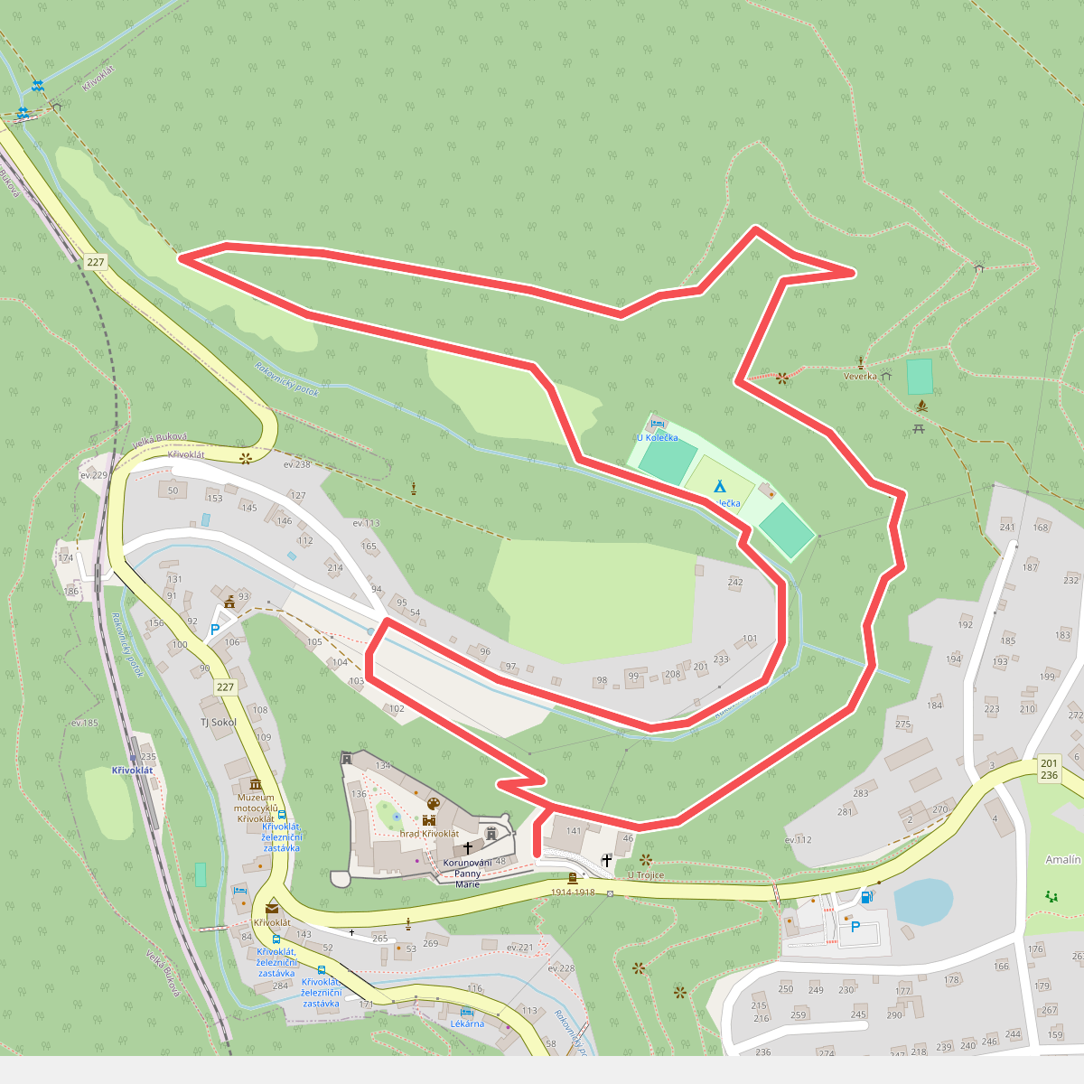
#1. Bednářská stezka
Křivoklát
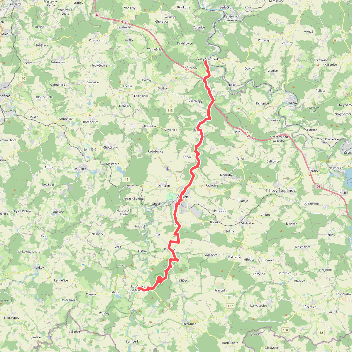
#2. Blaník - Říp - etapa 1: Louňovice pod Blaníkem - Český Šternberk
Louňovice pod Blaníkem,Pravonín,Kondrac,Vlašim,Ctiboř,Libež,Všechlapy,Divišov,Český Šternberk
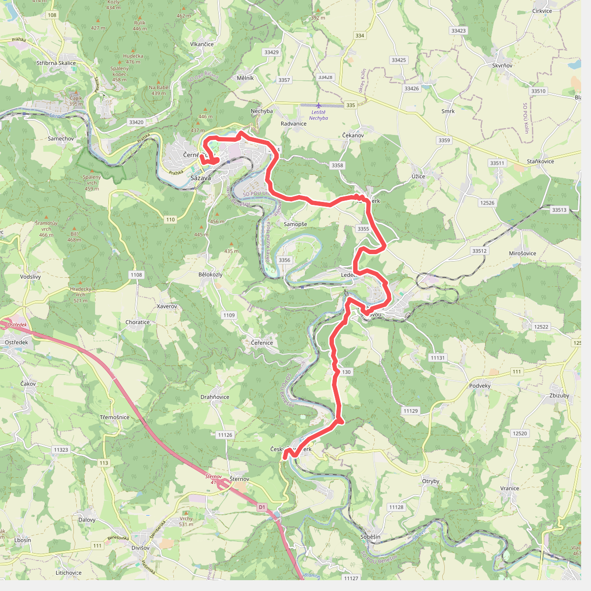
#3. Blaník - Říp - etapa 2: Český Šternberk - Sázava
Sázava,Úžice,Samopše,Rataje nad Sázavou,Ledečko,Český Šternberk
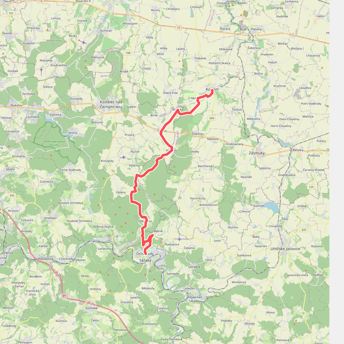
#4. Blaník - Říp - etapa 3: Sázava - Kouřim
Sázava,Vlkančice,Stříbrná Skalice,Výžerky,Barchovice,Oleška,Ždánice,Kouřim
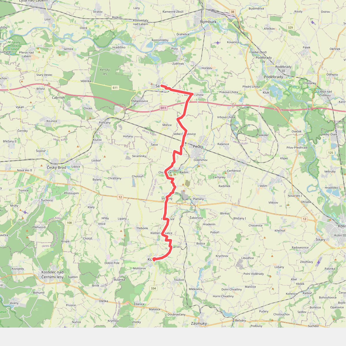
#5. Blaník - Říp - etapa 4: Kouřim - Sadská
Kouřim,Klášterní Skalice,Třebovle,Vrbčany,Radim,Chotutice,Pečky,Kostelní Lhota,Sadská
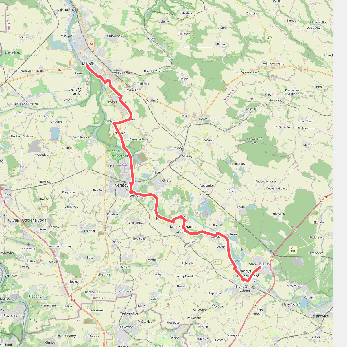
#6. Blaník - Říp - etapa 6: St. Boleslav - Mělník
Brandýs nad Labem-Stará Boleslav,Záryby,Kostelec nad Labem,Tišice,Neratovice,Libiš,Tuhaň,Kly,Velký Borek,Mělník
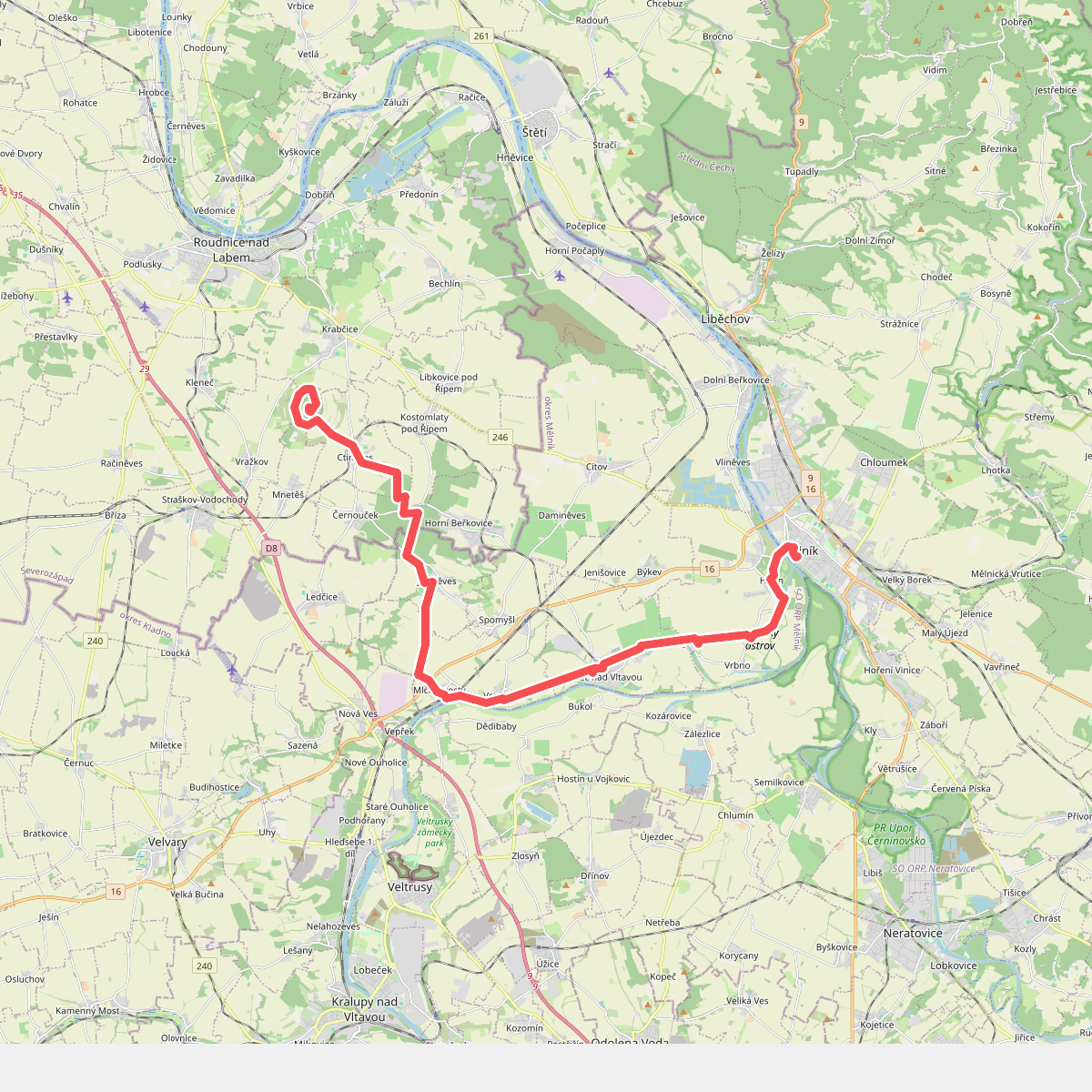
#7. Blaník - Říp - etapa 7: Mělník - Říp
Mělník,Hořín,Lužec nad Vltavou,Vraňany,Jeviněves,Horní Beřkovice,Černouček,Kostomlaty pod Řípem,Ctiněves,Mnetěš
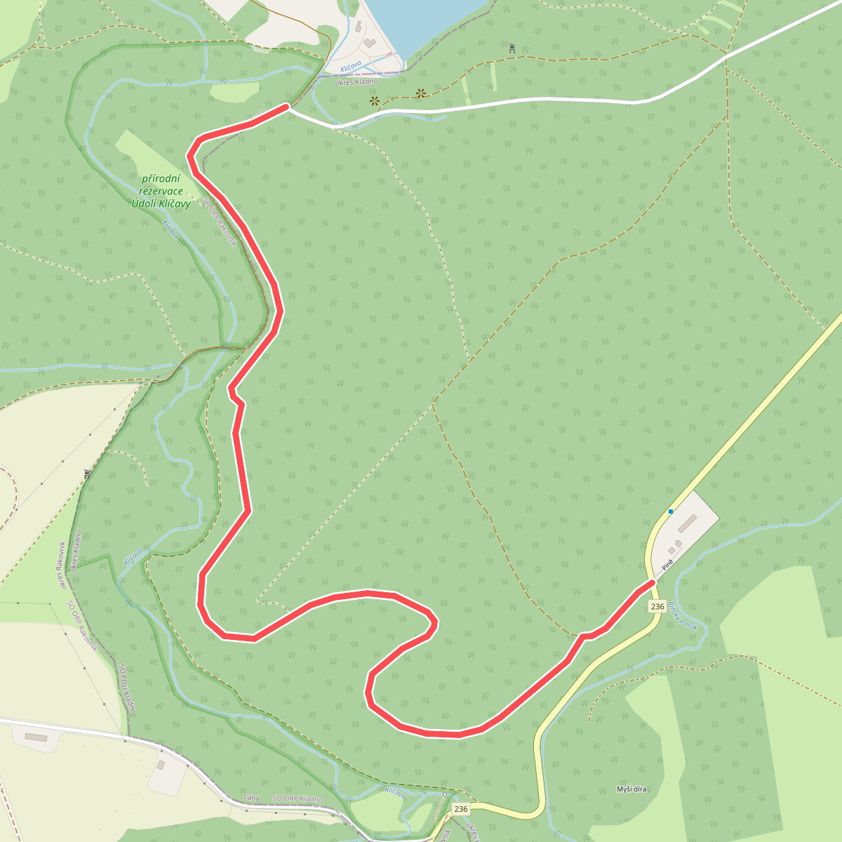
#8. Bývalá koněspřežka
Ruda,Lány
![[Č] Běchovice - Úvaly](https://wandelweb.fsn1.your-objectstorage.com/tracks/static-maps/36130-1779134523-large.png)
#9. [Č] Běchovice - Úvaly
SO Praha 21,Úvaly
![[Č] Beroun - Nový Jáchymov](https://wandelweb.fsn1.your-objectstorage.com/tracks/static-maps/35794-1779134376-large.png)
#10. [Č] Beroun - Nový Jáchymov
Nový Jáchymov,Hudlice,Nižbor,Králův Dvůr,Beroun
![[Č] Březnice - Hudčice](https://wandelweb.fsn1.your-objectstorage.com/tracks/static-maps/35427-1779134222-large.png)
#11. [Č] Březnice - Hudčice
Březnice,Hudčice
![[Č] Březnice - Orlík](https://wandelweb.fsn1.your-objectstorage.com/tracks/static-maps/35428-1779134220-large.png)
#12. [Č] Březnice - Orlík
Březnice,Nestrašovice,Mirovice,Zalužany,Lety,Kožlí,Orlík nad Vltavou



