The best hiking routes in Castile-La Mancha
Discover the best walks in Castile-La Mancha. 442 routes on the map, with descriptions, photos and GPX.
About Castile-La Mancha
Castile-La Mancha is a region of vast, elevated plains and sudden river incisions, rather than a landscape of high alpine peaks or deep mountain passes. Walkers must choose between two distinct environments: the flat, watery basins where reed beds and shallow lagoons dominate, and the rugged, limestone gorges carved by rivers. Underfoot, you will mostly encounter hard-packed clay, loose gravel, and occasional wooden boardwalks over wetland areas.
Read more
About Castile-La Mancha
Castile-La Mancha is a region of vast, elevated plains and sudden river incisions, rather than a landscape of high alpine peaks or deep mountain passes. Walkers must choose between two distinct environments: the flat, watery basins where reed beds and shallow lagoons dominate, and the rugged, limestone gorges carved by rivers. Underfoot, you will mostly encounter hard-packed clay, loose gravel, and occasional wooden boardwalks over wetland areas.
Read moreCastile-La Mancha is a region of vast, elevated plains and sudden river incisions, rather than a landscape of high alpine peaks or deep mountain passes. Walkers must choose between two distinct environments: the flat, watery basins where reed beds and shallow lagoons dominate, and the rugged, limestone gorges carved by rivers. Underfoot, you will mostly encounter hard-packed clay, loose gravel, and occasional wooden boardwalks over wetland areas.
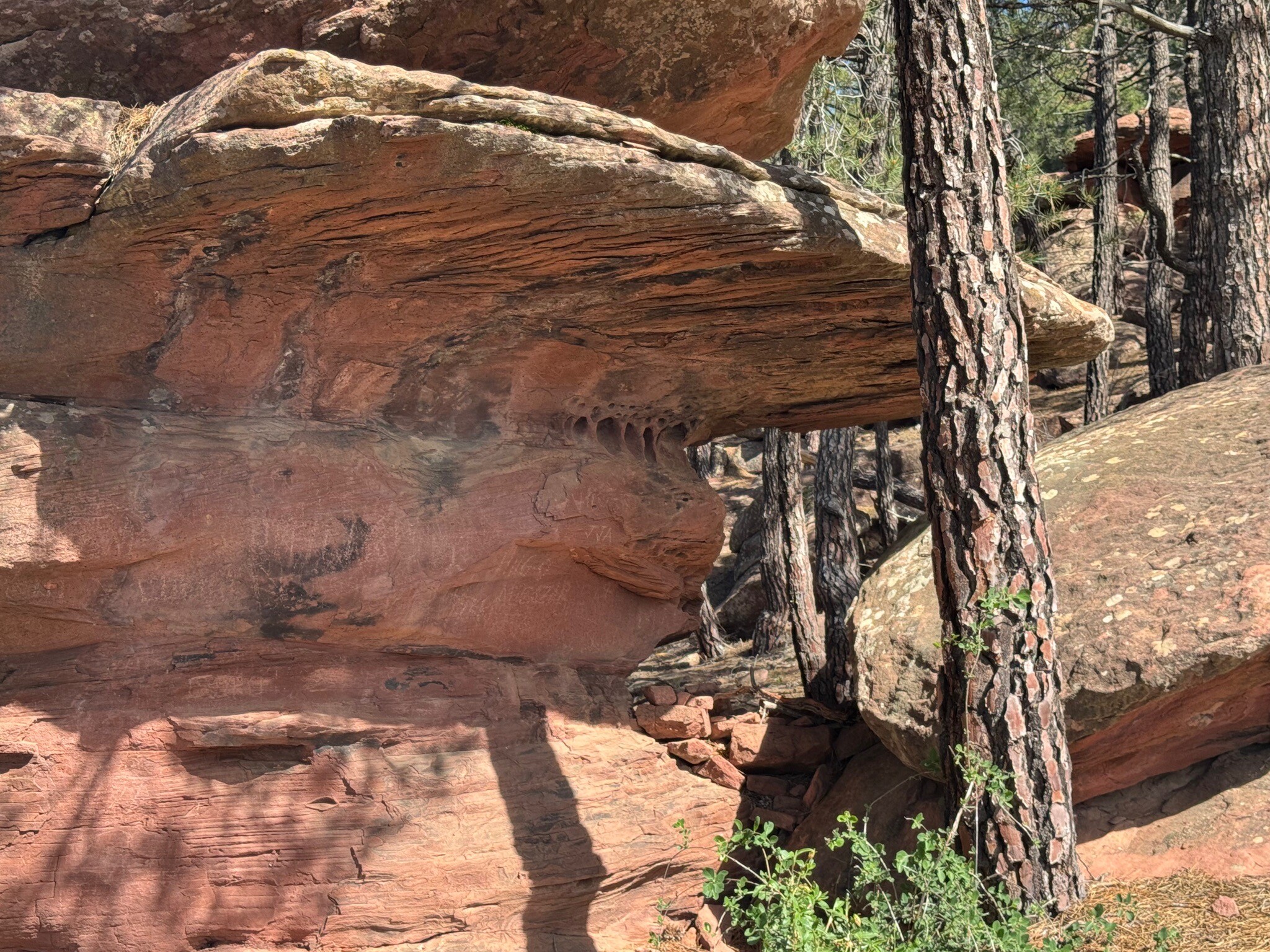
For those drawn to water and birdlife, the Parque nacional de las Tablas de Daimiel offers flat walking along wooden platforms over flooded wetlands, while the Parque Natural de las Lagunas de Ruidera features a chain of fifteen interconnected lakes separated by natural tufa rock barriers. In contrast, the Parque Natural de las Hoces del Cabriel presents a much steeper terrain, where the path follows deep, sheer-sided gorges carved through the limestone by the Cabriel River. Here, the vegetation shifts to pine forests and riverside thickets, providing a completely different sense of enclosure.
In the Parque nacional de Cabañeros, the landscape opens up into Mediterranean scrubland and wide pastures, where the flat dehesa plains meet the foothills of the Toledo Mountains. In May, these pastures are often covered in flowering rockrose, showing the transition from spring to the dry summer. This is a region for those who appreciate subtle changes in vegetation, limestone geology, and quiet, expansive walking trails rather than dramatic mountain climbs.
Nature areas in Castile-La Mancha
Zoom or pan for more routes
Hiking routes in Castile-La Mancha (442)
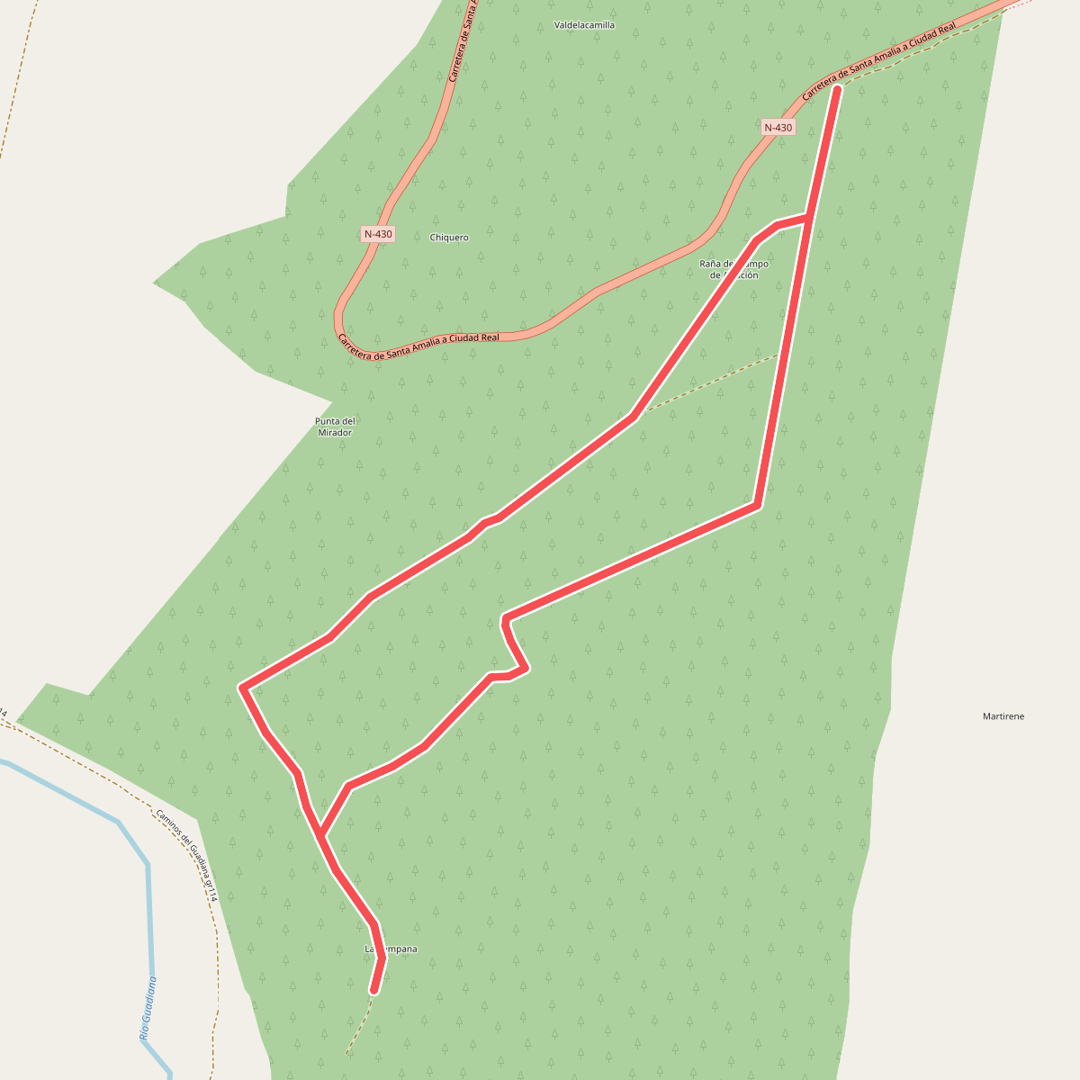
#1. Aeródromo Republicano de Luciana
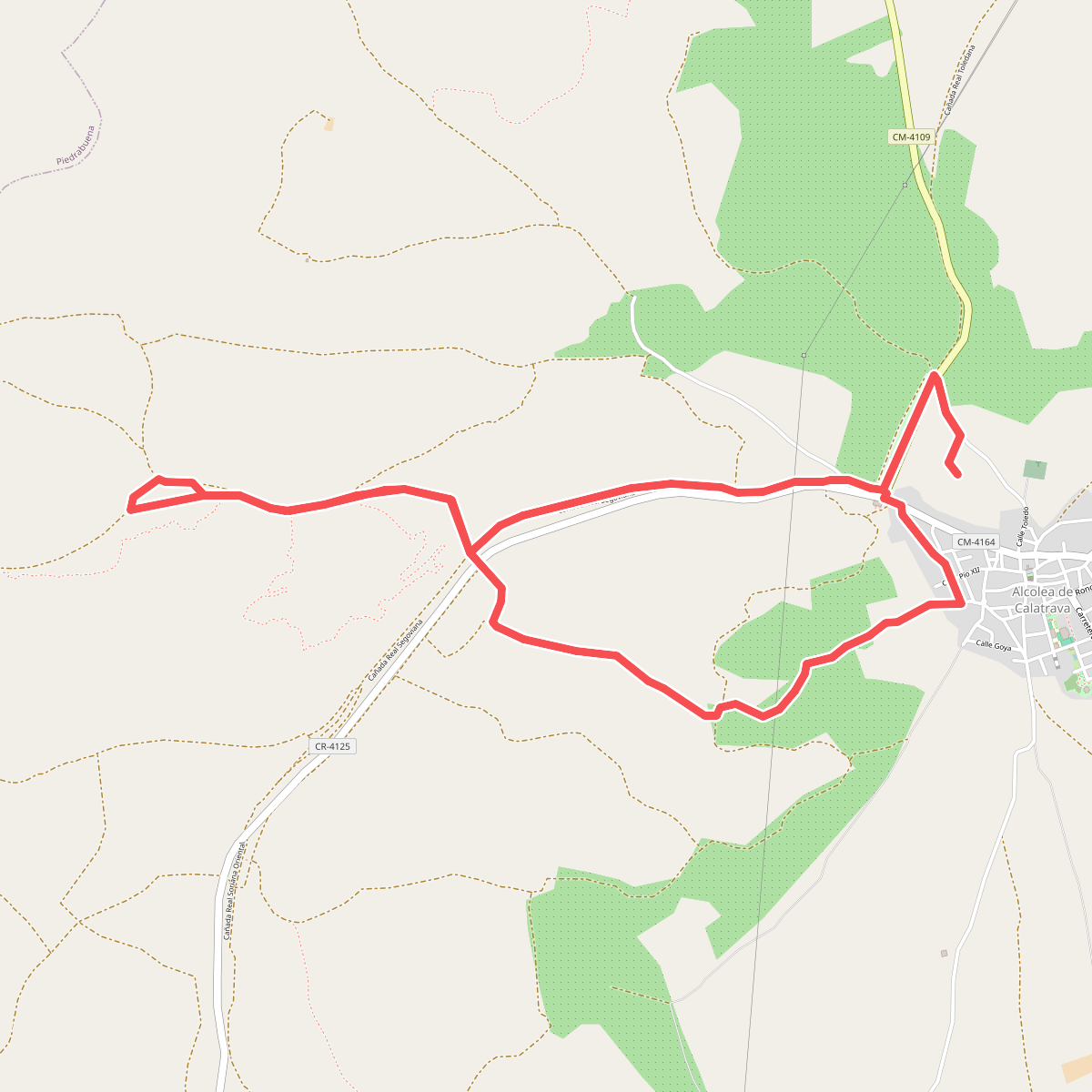
#2. Alcolea de Cva. Campo Alegre Volcán del Cerro de la Cruz
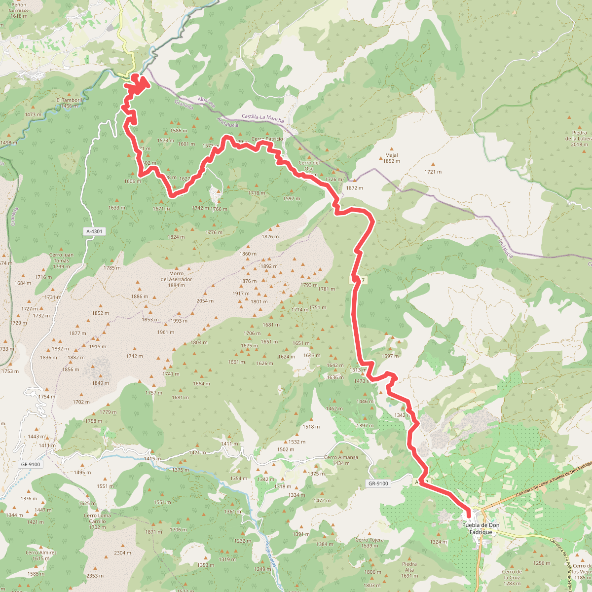
#3. Andalucía - North Route (Província de Granada)
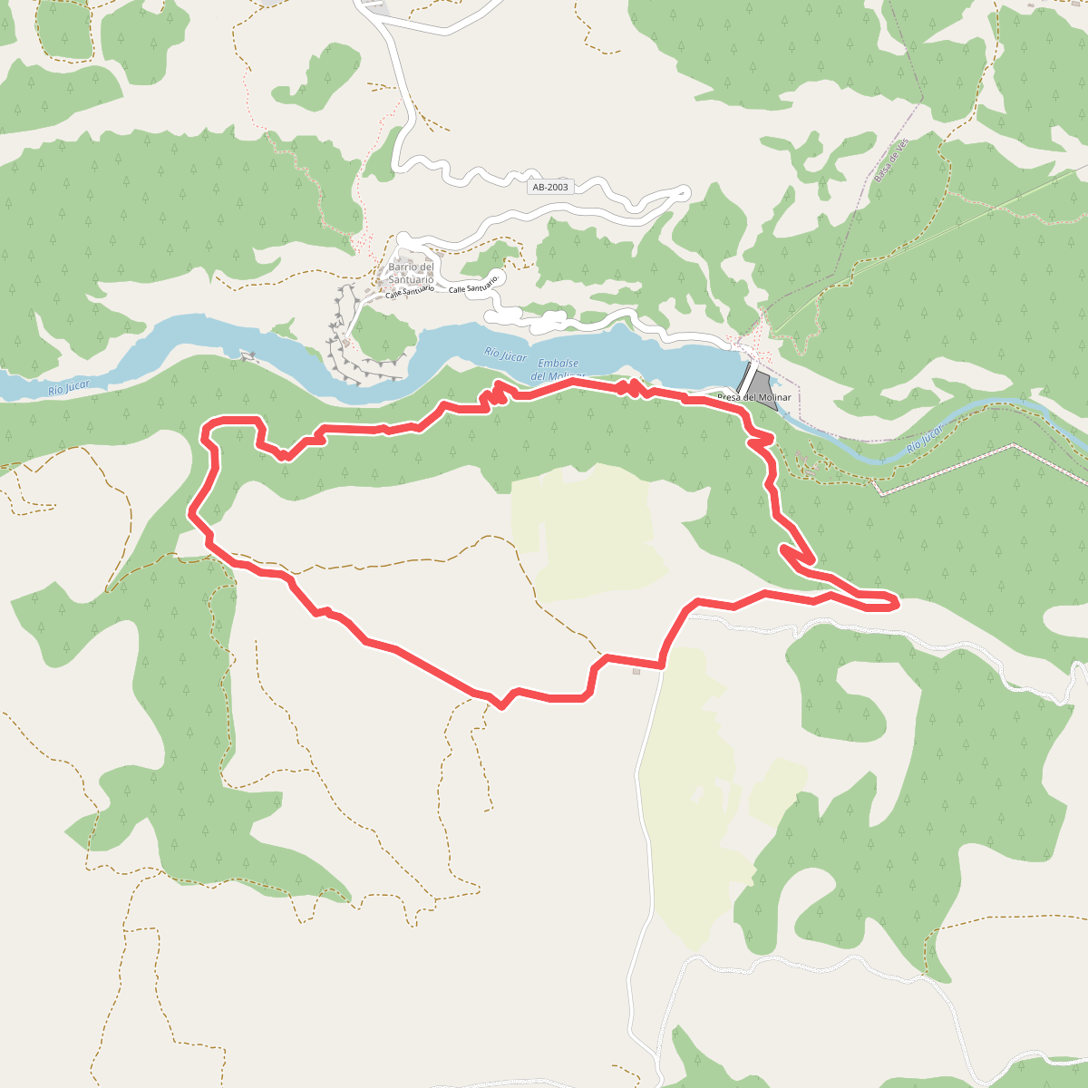
#4. Antiguo camino a las herradas, Carcelén y Murcia
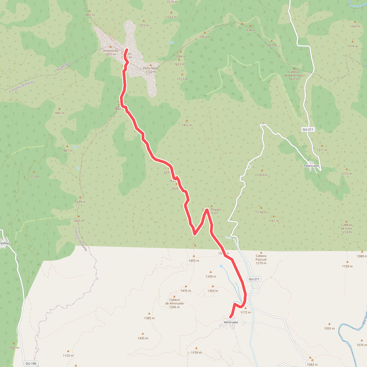
#5. Ascensión al Ocejón desde Almiruete
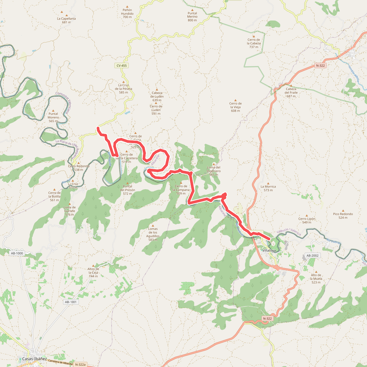
#6. Baños de Fuente Podrida - El Tete
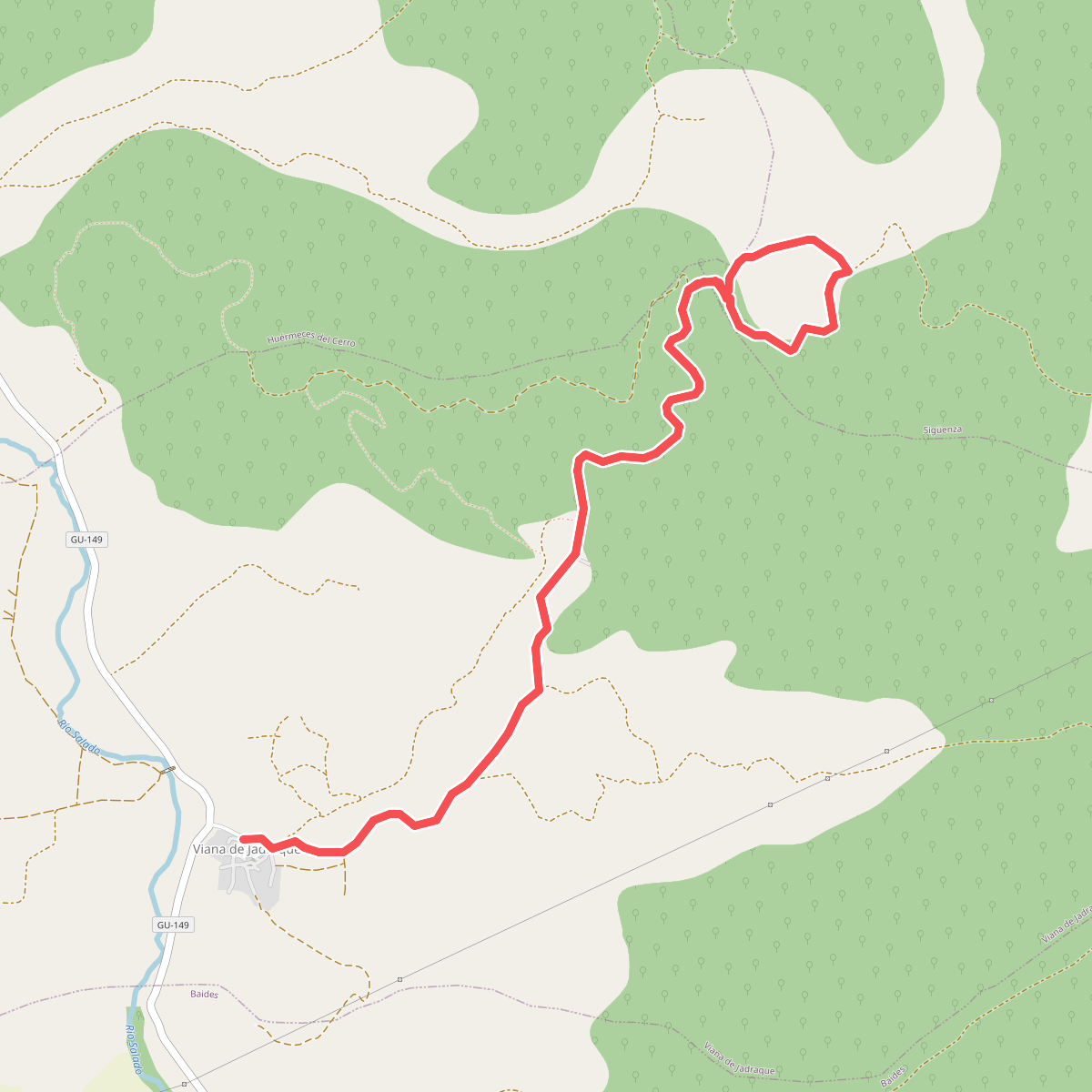
#7. Barranco de Viana
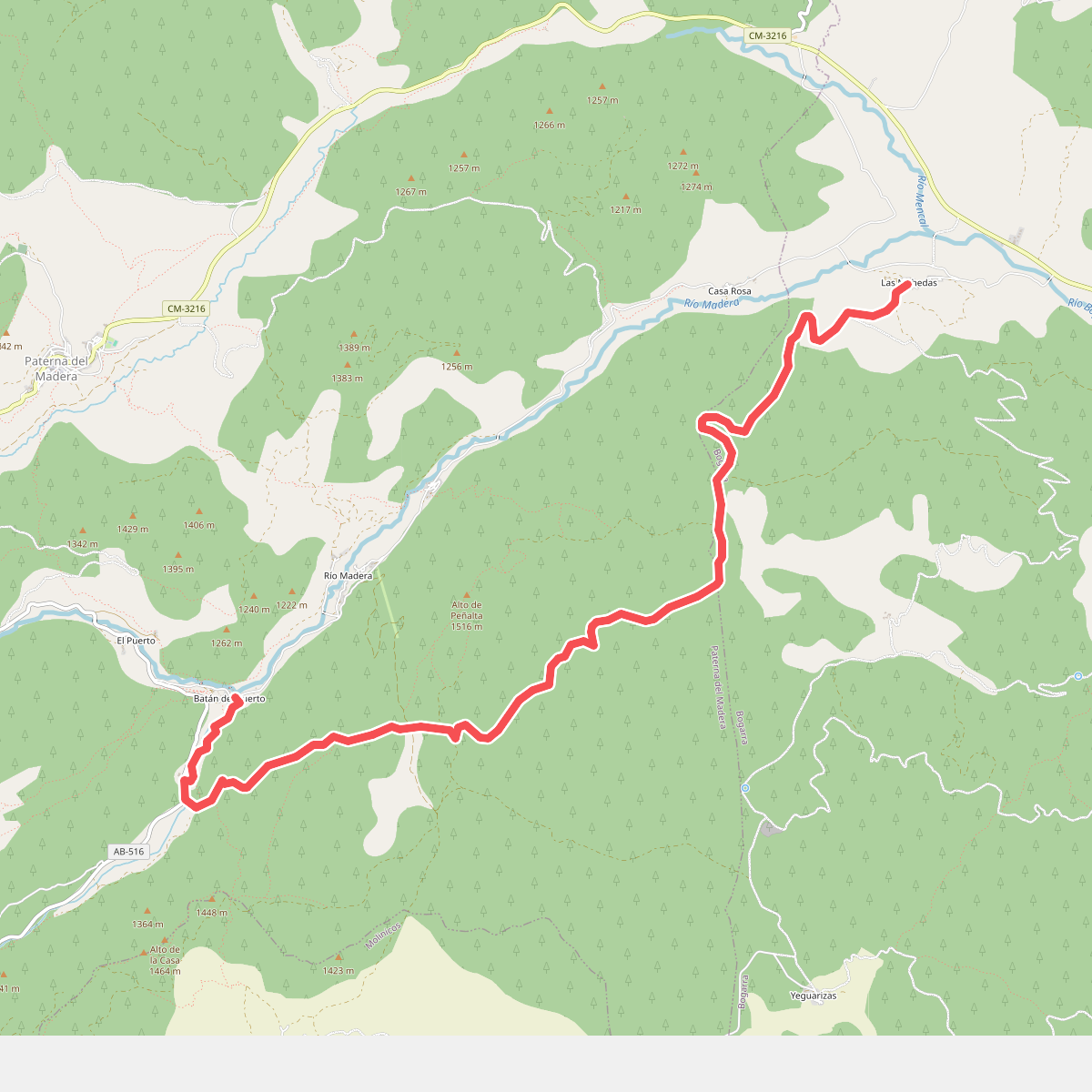
#8. Batán del Puerto-Mohedas
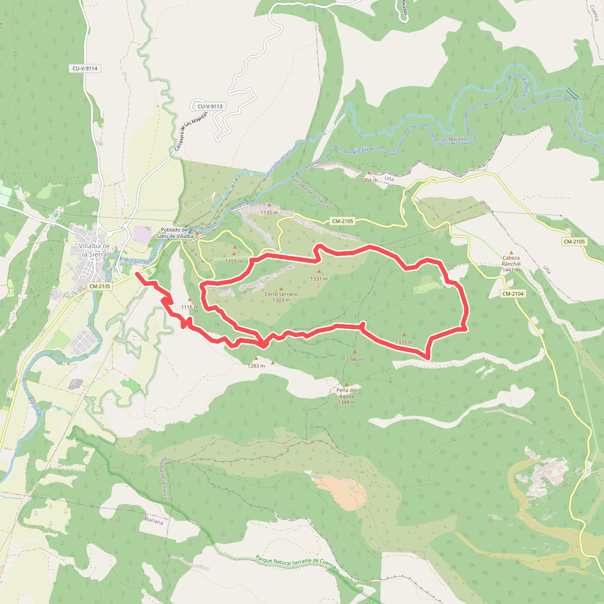
#9. Bco. Santa Maria y Piedra Yunque
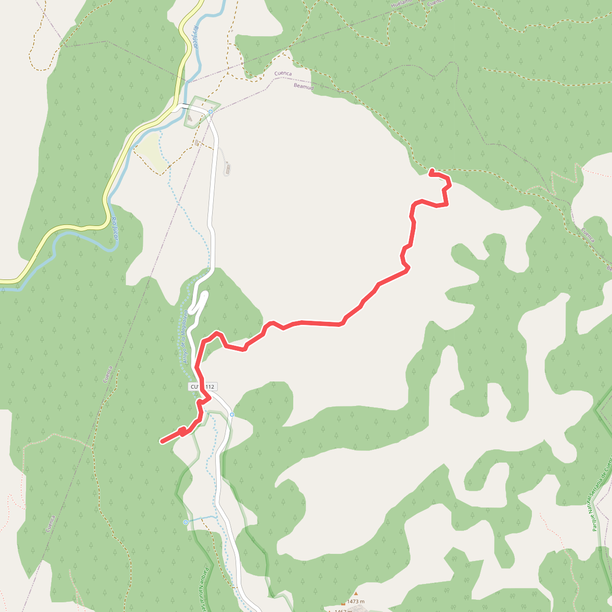
#10. Beamud-Molino de Juan Romero. Variante 1
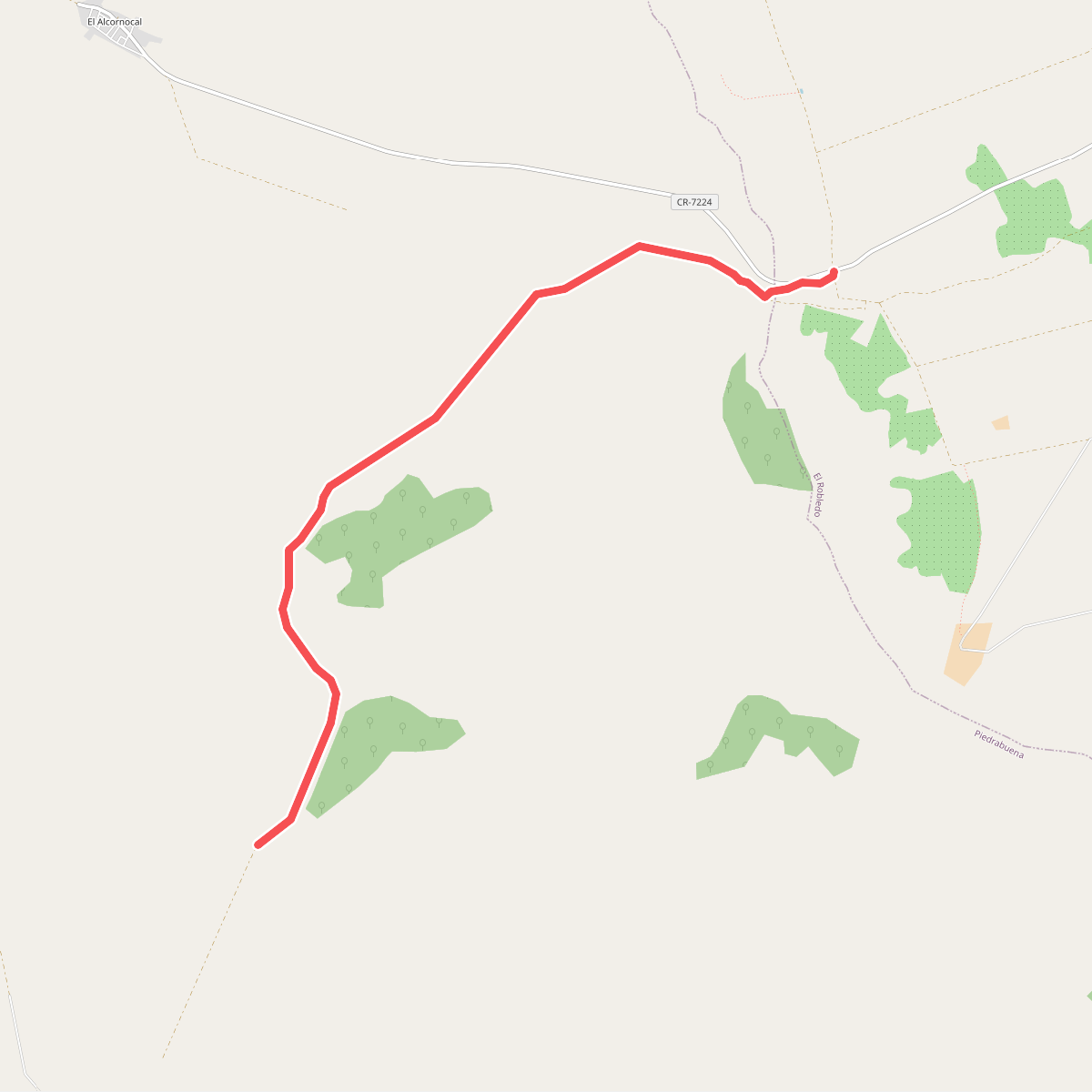
#11. Bonal del Morro de la Parilla