

The best hiking routes in Canton Wiltz
Discover the best walks in Canton Wiltz. 6 routes on the map, with descriptions, photos and GPX.
About Canton Wiltz
Canton Wiltz, located in northwestern Luxembourg, is defined by its deep river valleys and high agricultural plateaus. Walkers should choose their routes based on whether they prefer the sheltered, wooded ravines or the exposed, windy heights. The terrain is characterized by steep slate slopes that require sturdy footwear, with paths alternating between packed dirt, loose shale, and occasional tarmac on the approach to villages. You will notice how the local slate quarrying history has shaped the landscape, leaving sharp rock cuts alongside the trails.
Read more
About Canton Wiltz
Canton Wiltz, located in northwestern Luxembourg, is defined by its deep river valleys and high agricultural plateaus. Walkers should choose their routes based on whether they prefer the sheltered, wooded ravines or the exposed, windy heights. The terrain is characterized by steep slate slopes that require sturdy footwear, with paths alternating between packed dirt, loose shale, and occasional tarmac on the approach to villages. You will notice how the local slate quarrying history has shaped the landscape, leaving sharp rock cuts alongside the trails.
Read moreCanton Wiltz, located in northwestern Luxembourg, is defined by its deep river valleys and high agricultural plateaus. Walkers should choose their routes based on whether they prefer the sheltered, wooded ravines or the exposed, windy heights. The terrain is characterized by steep slate slopes that require sturdy footwear, with paths alternating between packed dirt, loose shale, and occasional tarmac on the approach to villages. You will notice how the local slate quarrying history has shaped the landscape, leaving sharp rock cuts alongside the trails.
To the west, the landscape transitions into the Parc naturel Haute-Sûre Forêt d'Anlier. Here, the focus shifts toward the massive reservoir lake and its densely forested fingers. Walking in this section means navigating steep lakeside paths under a canopy of beech and oak, where the water is a constant presence but often hidden by the trees. The open plateaus above these valleys offer wide views of working farmland, which can feel stark and exposed compared to the enclosed forest tracks.
This region does not offer high mountain peaks or flat, sandy plains. Instead, expect a continuous pattern of short, sharp climbs and descents. In November, the oak forests in the river loops lose their leaves, revealing the rugged slate ribs of the hillsides that are obscured by foliage during the summer months. Popular lakeside spots attract more visitors, while the steep forest trails deeper in the valleys remain much quieter.
Nature areas in Canton Wiltz
Zoom or pan for more routes
Hiking routes in Canton Wiltz (6)
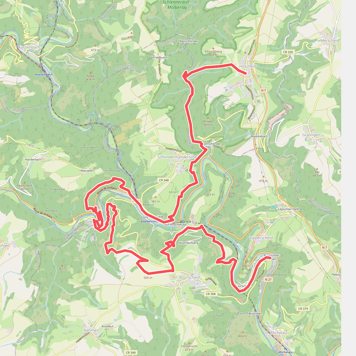
#1. Bourscheid - Hoscheid · Escapardenne Lee Trail etappe 2
Bourscheid,Goesdorf,Parc Hosingen
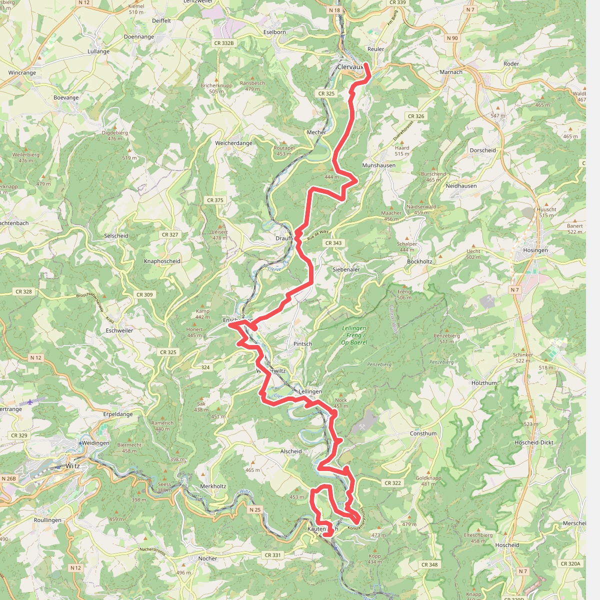
#2. Eislek Trail Kautenbach Clervaux
Kiischpelt,Clervaux
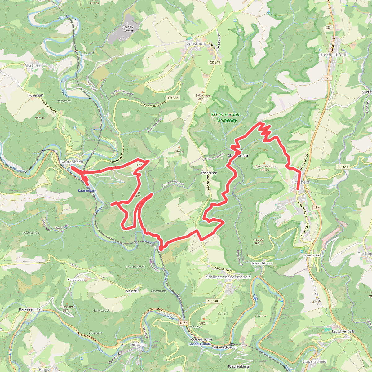
#3. Hoscheid - Kaurenbach · Escapardenne Lee Trail etappe 3
Parc Hosingen,Bourscheid,Kiischpelt
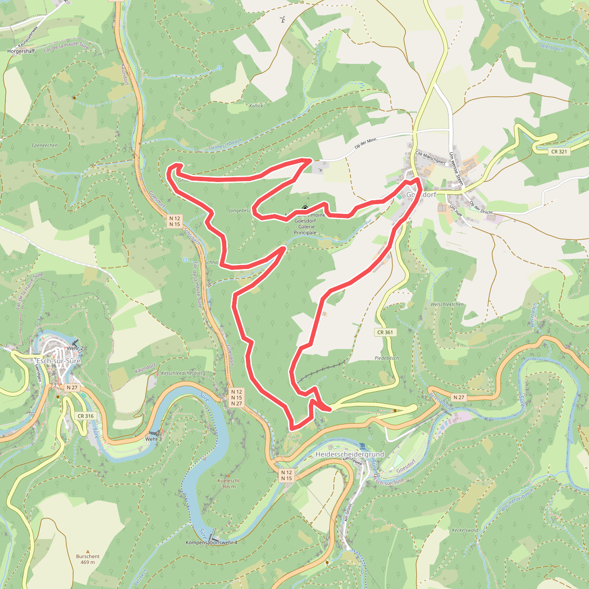
#4. Go2
Goesdorf
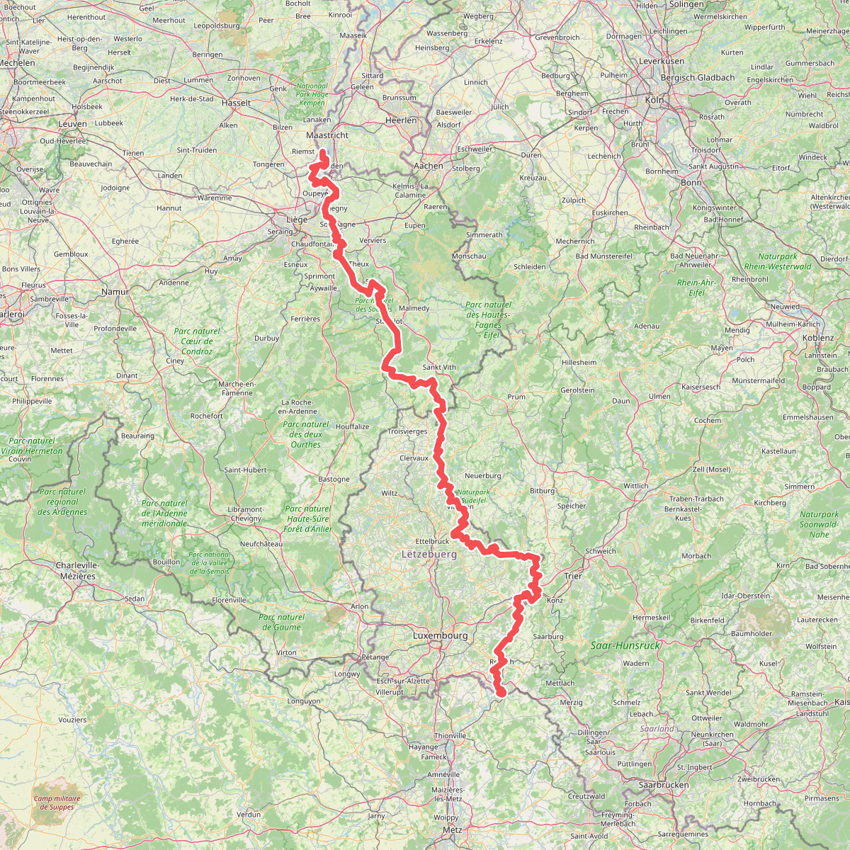
#5. Gr5 vanaf Maastricht
Riemst,Visé,Wonck,Haccourt,Feneur,Blegny,Soumagne,Olne,Trooz,Sprimont,Theux,Spa,La Gleize,Stavelot,Wanne,Vielsalm,Gouvy,Thommen,Reuland,Clervaux,Dasburg,Parc Hosingen,Putscheid,Vianden,Tandel,Bettendorf,Vallée de l'Ernz,Beaufort,Berdorf,Echternach,Rosport-Mompach,Condominium Lëtzebuerg-Deutschland,Mertert,Manternach,Wormeldange,Stadtbredimus,Remich,Schengen,Perl
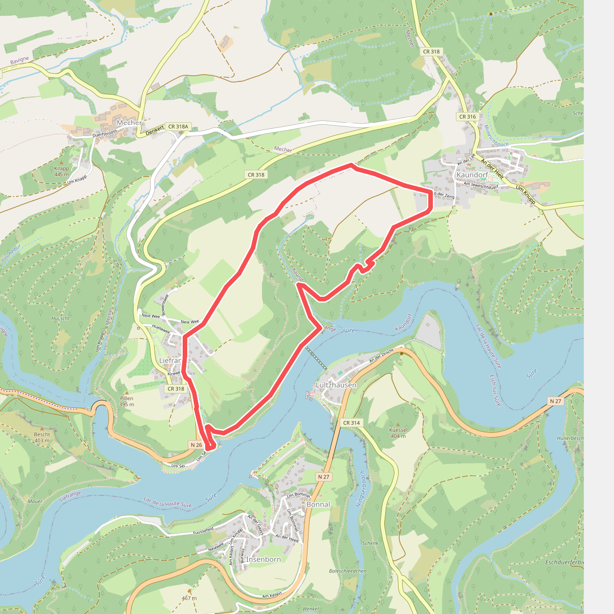
#6. LH 3 Liefrange
Lac de la Haute-Sûre



