

The best hiking routes in Canton Remich
Discover the best walks in Canton Remich. 13 routes on the map, with descriptions, photos and GPX.
About Canton Remich
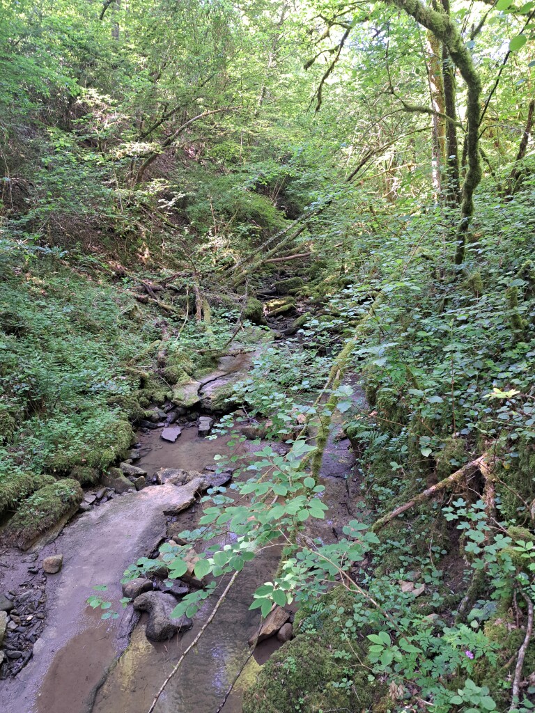
Canton Remich, situated in the southeastern corner of Luxembourg, is defined by its relationship with the Moselle River. The landscape consists of steep, terraced vineyards rising directly from the riverbanks, which quickly flatten out into a gently rolling agricultural plateau. Walkers should expect a mix of paved vineyard tracks and dirt paths that cut through agricultural fields, rather than deep wilderness or high mountain peaks.
Read more
About Canton Remich
Canton Remich, situated in the southeastern corner of Luxembourg, is defined by its relationship with the Moselle River. The landscape consists of steep, terraced vineyards rising directly from the riverbanks, which quickly flatten out into a gently rolling agricultural plateau. Walkers should expect a mix of paved vineyard tracks and dirt paths that cut through agricultural fields, rather than deep wilderness or high mountain peaks.
Read moreCanton Remich, situated in the southeastern corner of Luxembourg, is defined by its relationship with the Moselle River. The landscape consists of steep, terraced vineyards rising directly from the riverbanks, which quickly flatten out into a gently rolling agricultural plateau. Walkers should expect a mix of paved vineyard tracks and dirt paths that cut through agricultural fields, rather than deep wilderness or high mountain peaks.
While the wider region touches the edges of the Saar-Hunsruck protected area, the walking experience within Canton Remich itself is dominated by viticulture and open farmland. The valley sides are heavily shaped by human hands, featuring stone walls and orderly rows of vines that capture the sun. Up on the plateau, the paths lead through open fields and small patches of deciduous woodland, offering a much flatter and more straightforward walking terrain.
Underfoot, you will mostly encounter hard-packed gravel, asphalt agricultural roads, and clay-heavy soil that can become sticky. In October, the vineyard slopes turn a deep yellow during the grape harvest, making this the most visually distinct time to visit the river trails. The valley floor paths near the towns are often busier with strollers, while the open plateau routes offer a quieter, more solitary walking experience.
Nature areas in Canton Remich
Zoom or pan for more routes
Hiking routes in Canton Remich (13)
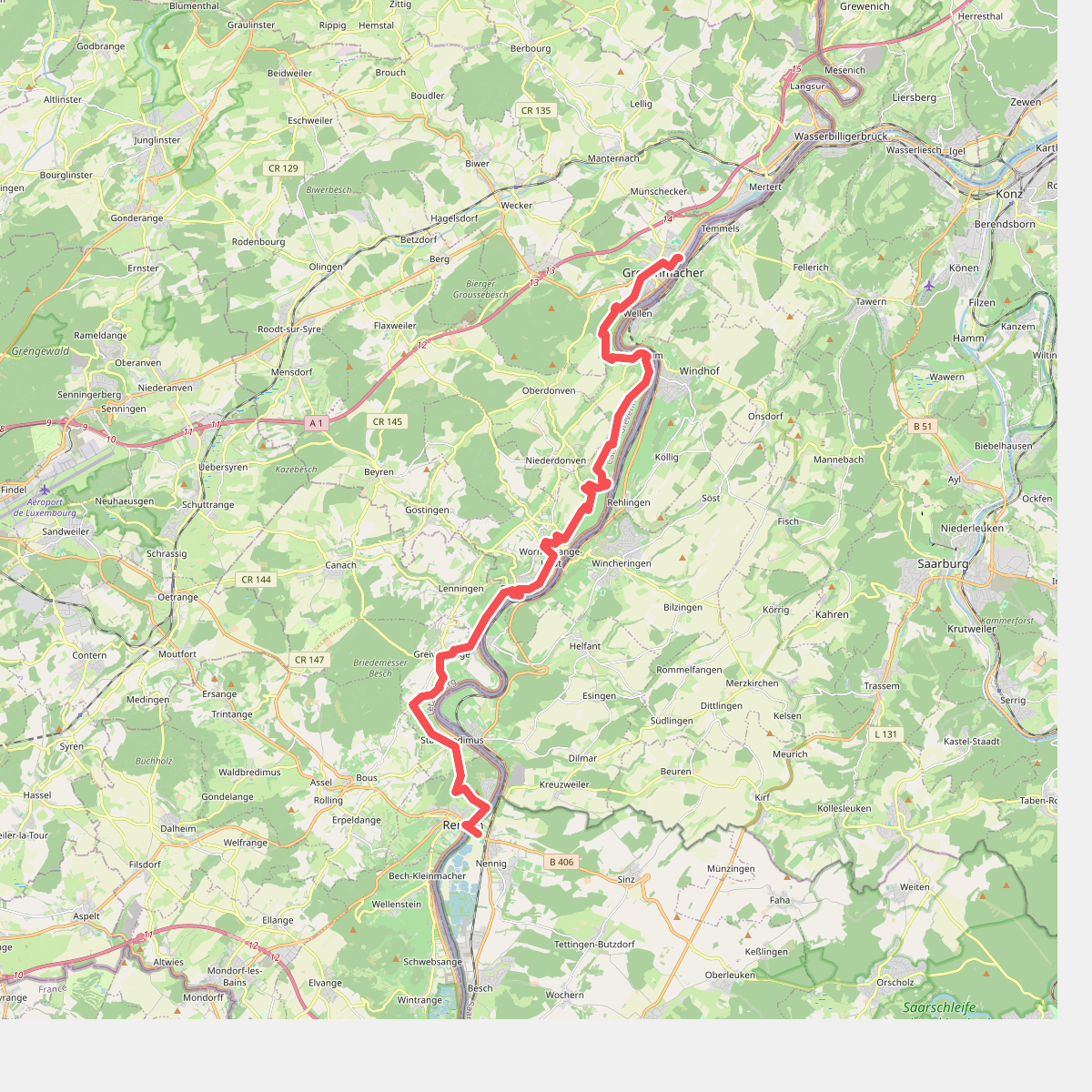
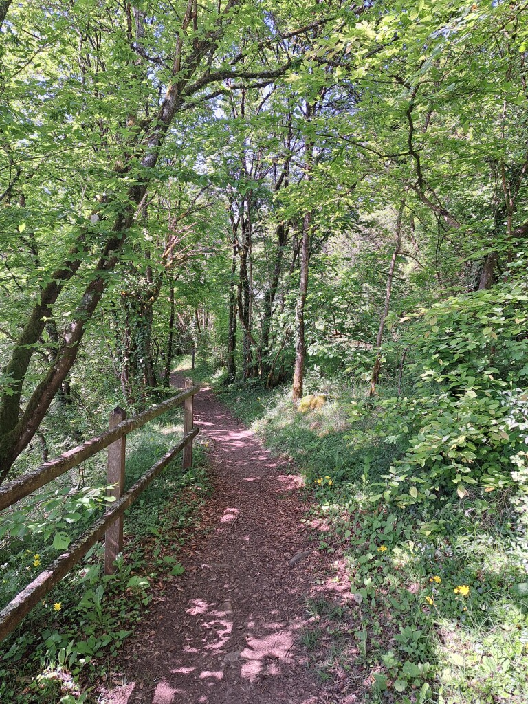
#1. Grevenmacher - Remich · GR5 etappe 30
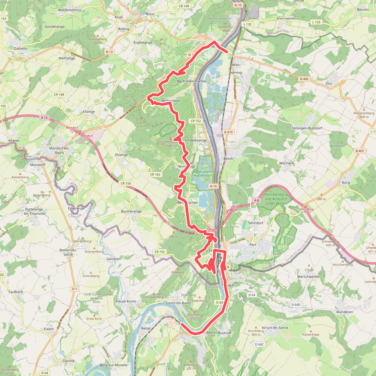
#2. Remich - Sierck-Les-Bains · GR5 etappe 31
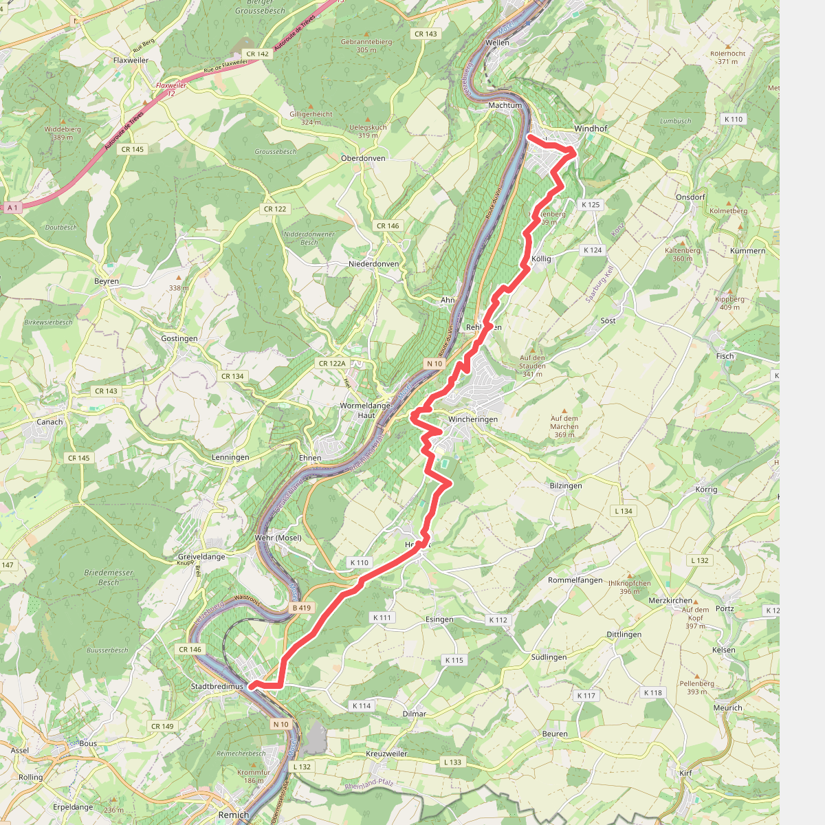
#3. Palzem - Nittel · Moselsteig etappe 2
Palzem,Wincheringen,Nittel
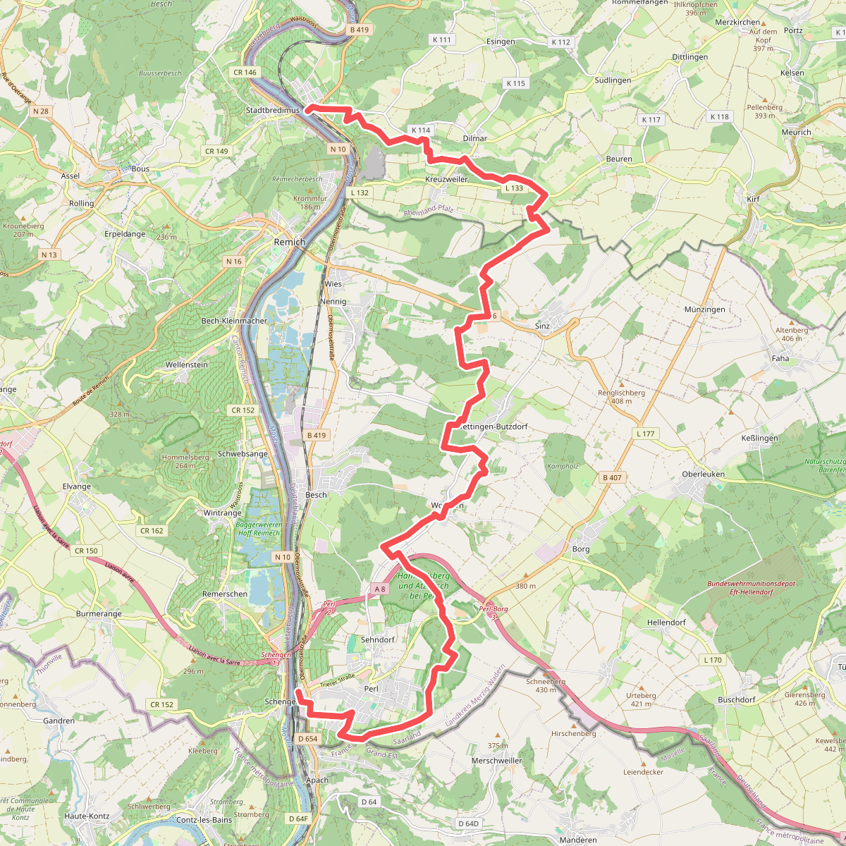
#4. Perl - Palzem · Moselsteig etappe 1
Perl,Kirf,Palzem
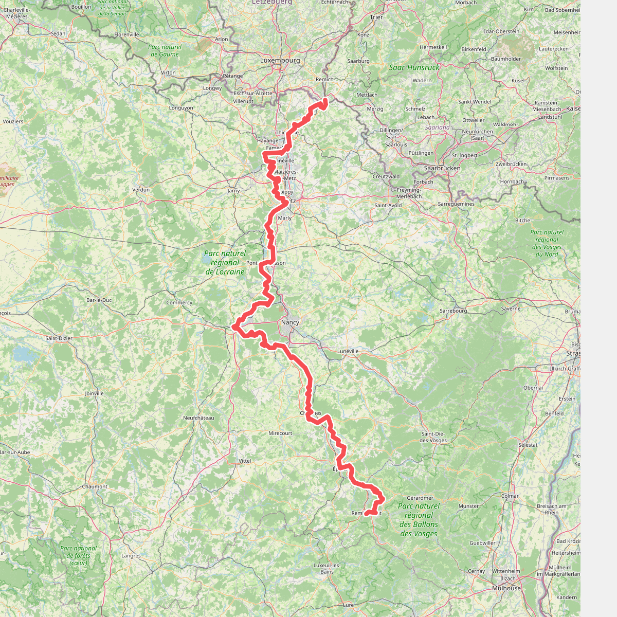
#5. Chemin de la Moselle
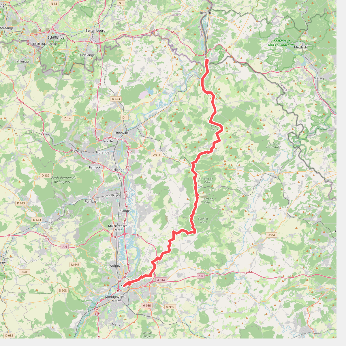
#6. Chemin des Allemands · Perl – Metz
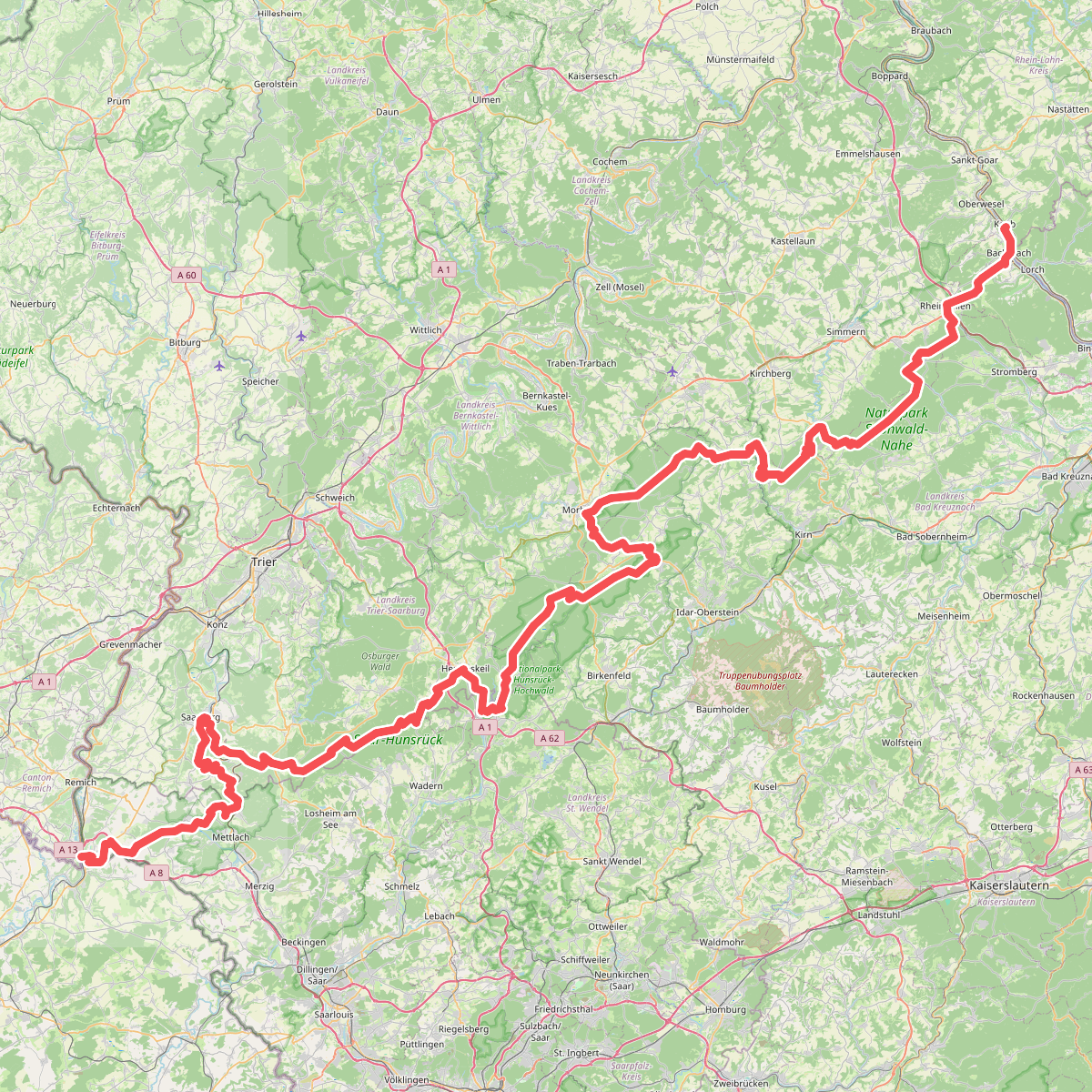
#7. European long distance path E3 - part Saarland, Rheinland-Pfalz
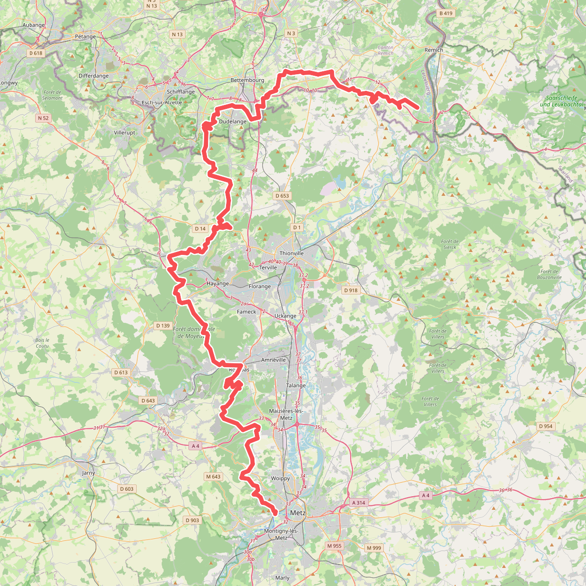
#8. GR 5
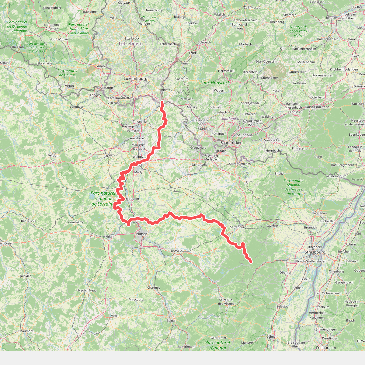
#9. GR 5 Lorraine
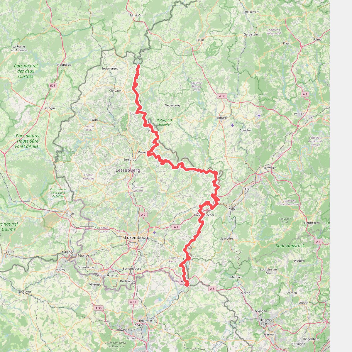
#10. GR 5 Luxembourg
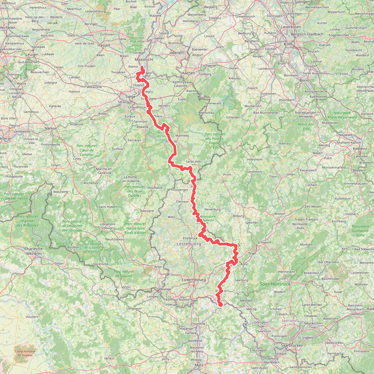
#11. Gr5 vanaf Maastricht
Riemst,Visé,Wonck,Haccourt,Feneur,Blegny,Soumagne,Olne,Trooz,Sprimont,Theux,Spa,La Gleize,Stavelot,Wanne,Vielsalm,Gouvy,Thommen,Reuland,Clervaux,Dasburg,Parc Hosingen,Putscheid,Vianden,Tandel,Bettendorf,Vallée de l'Ernz,Beaufort,Berdorf,Echternach,Rosport-Mompach,Condominium Lëtzebuerg-Deutschland,Mertert,Manternach,Wormeldange,Stadtbredimus,Remich,Schengen,Perl
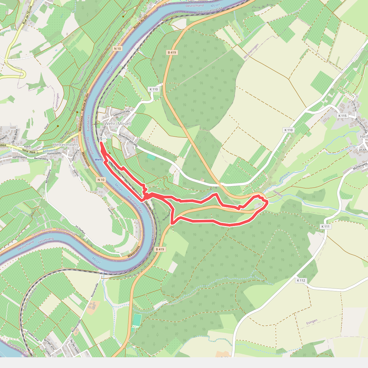
#12. Moselsteig Seitensprung Wehrer Rosenberg
Palzem



