

The best hiking routes in Canton Mersch
Discover the best walks in Canton Mersch. 30 routes on the map, with descriptions, photos and GPX.
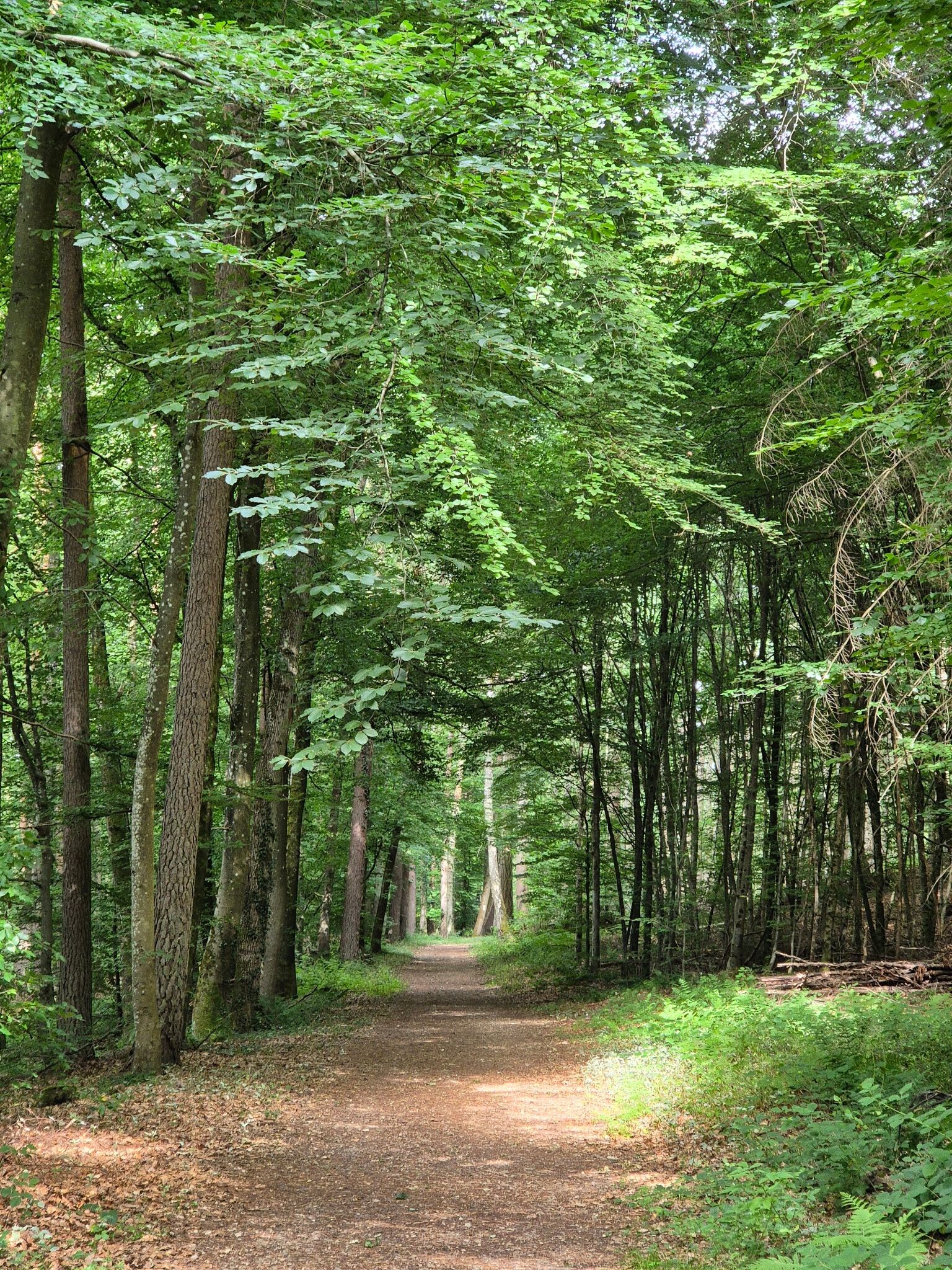
About Canton Mersch
Canton Mersch occupies the geographic heart of Luxembourg, characterized by a transition from the flat, agricultural Alzette valley to the rugged sandstone formations of the Gutland. Walkers will not find high mountain peaks or deep alpine gorges here, but rather a dense network of wooded valleys, rolling farmland, and quiet sandstone plateaus. The landscape is defined by this contrast between the wide, open river plains and the sudden, steep-sided rocky ravines that slice through the forests.
Read more
About Canton Mersch
Canton Mersch occupies the geographic heart of Luxembourg, characterized by a transition from the flat, agricultural Alzette valley to the rugged sandstone formations of the Gutland. Walkers will not find high mountain peaks or deep alpine gorges here, but rather a dense network of wooded valleys, rolling farmland, and quiet sandstone plateaus. The landscape is defined by this contrast between the wide, open river plains and the sudden, steep-sided rocky ravines that slice through the forests.
Read moreCanton Mersch occupies the geographic heart of Luxembourg, characterized by a transition from the flat, agricultural Alzette valley to the rugged sandstone formations of the Gutland. Walkers will not find high mountain peaks or deep alpine gorges here, but rather a dense network of wooded valleys, rolling farmland, and quiet sandstone plateaus. The landscape is defined by this contrast between the wide, open river plains and the sudden, steep-sided rocky ravines that slice through the forests.
Underfoot, the paths vary from soft forest soil and sandy tracks near the sandstone cliffs to hard-packed clay and gravel agricultural roads across the open plateaus. In the wooded ravines, such as those around Larochette or Meysembourg, the trail often winds around massive, moss-covered rock formations where the dampness lingers on the stone. In contrast, the paths along the Alzette river plain are flat and exposed, offering straightforward walking through open fields and past small rural villages.
Choosing where to walk depends on your preference for enclosure or openness. The central and eastern parts of the canton offer shaded, labyrinthine paths through sandstone crevices, which are particularly striking in November when the deciduous leaves have fallen to reveal the bare rock structures. The western areas present a more open, rolling agricultural landscape where the views extend across fields and orchards, though these routes offer less shelter from the elements.
Zoom or pan for more routes
Hiking routes in Canton Mersch (30)
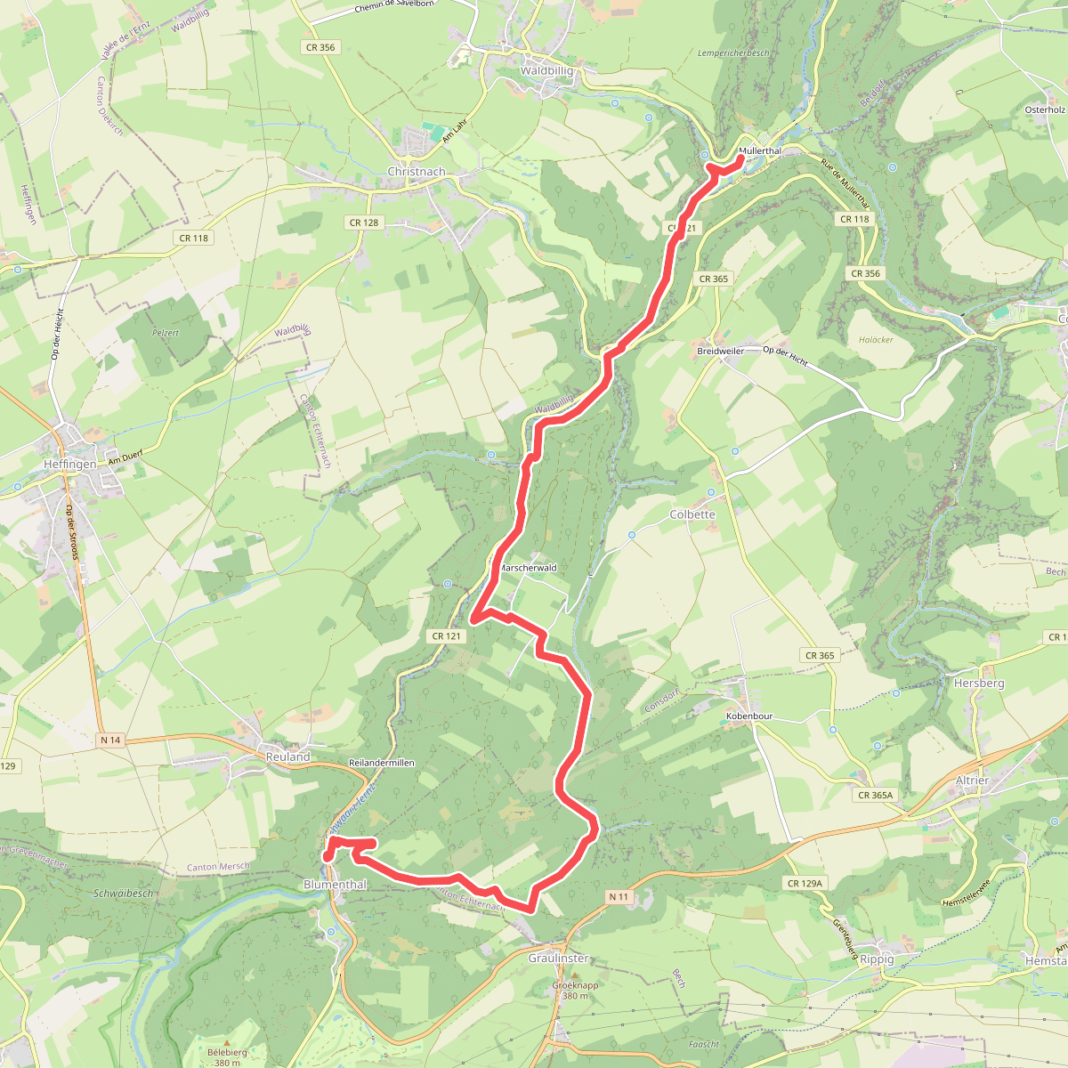

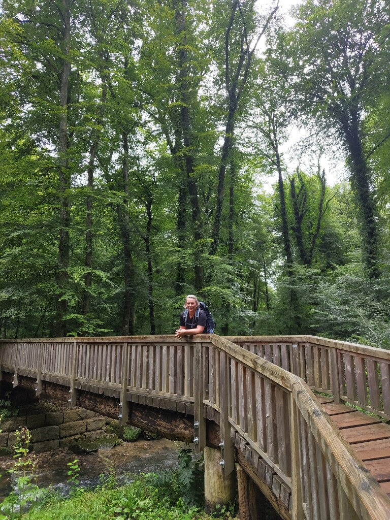
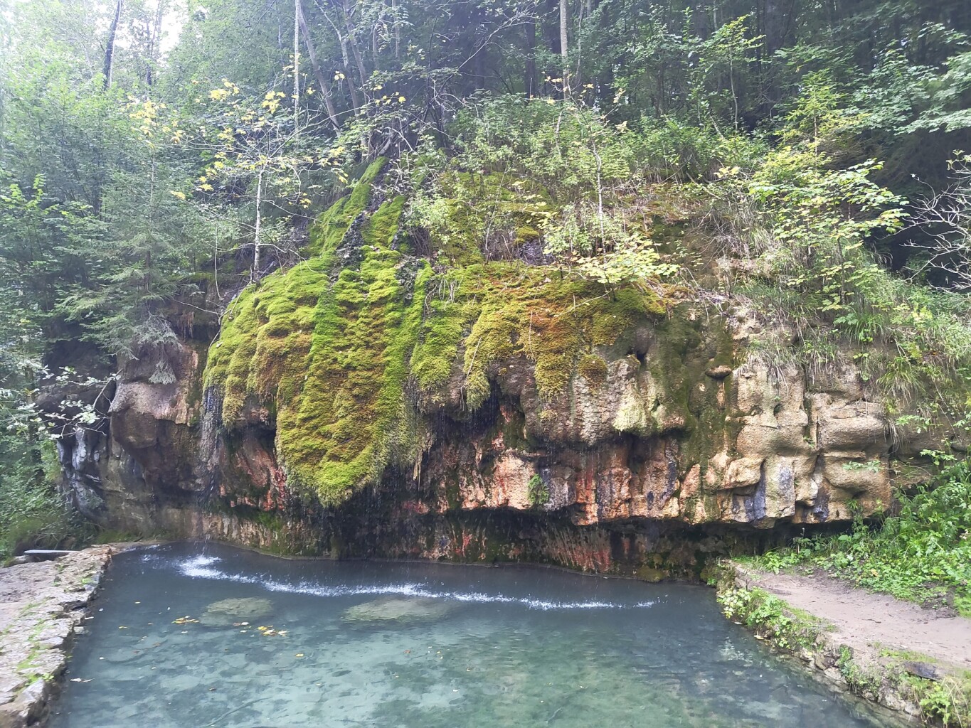
#1. Mullerthal - Blumenthal · Mullerthal Trail etappe 7
Waldbillig,Consdorf,Bech
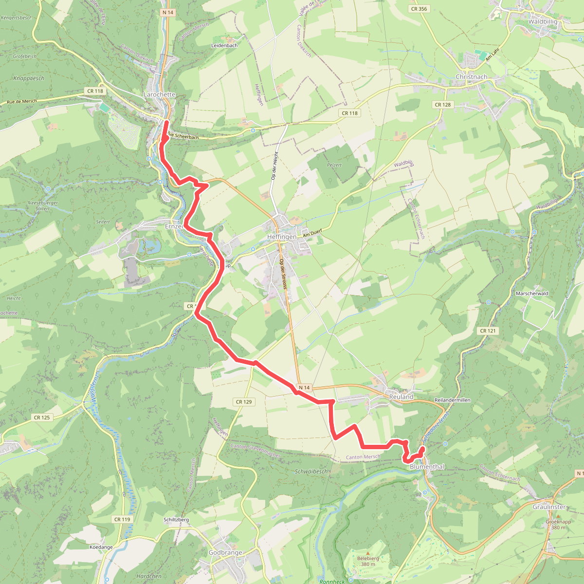
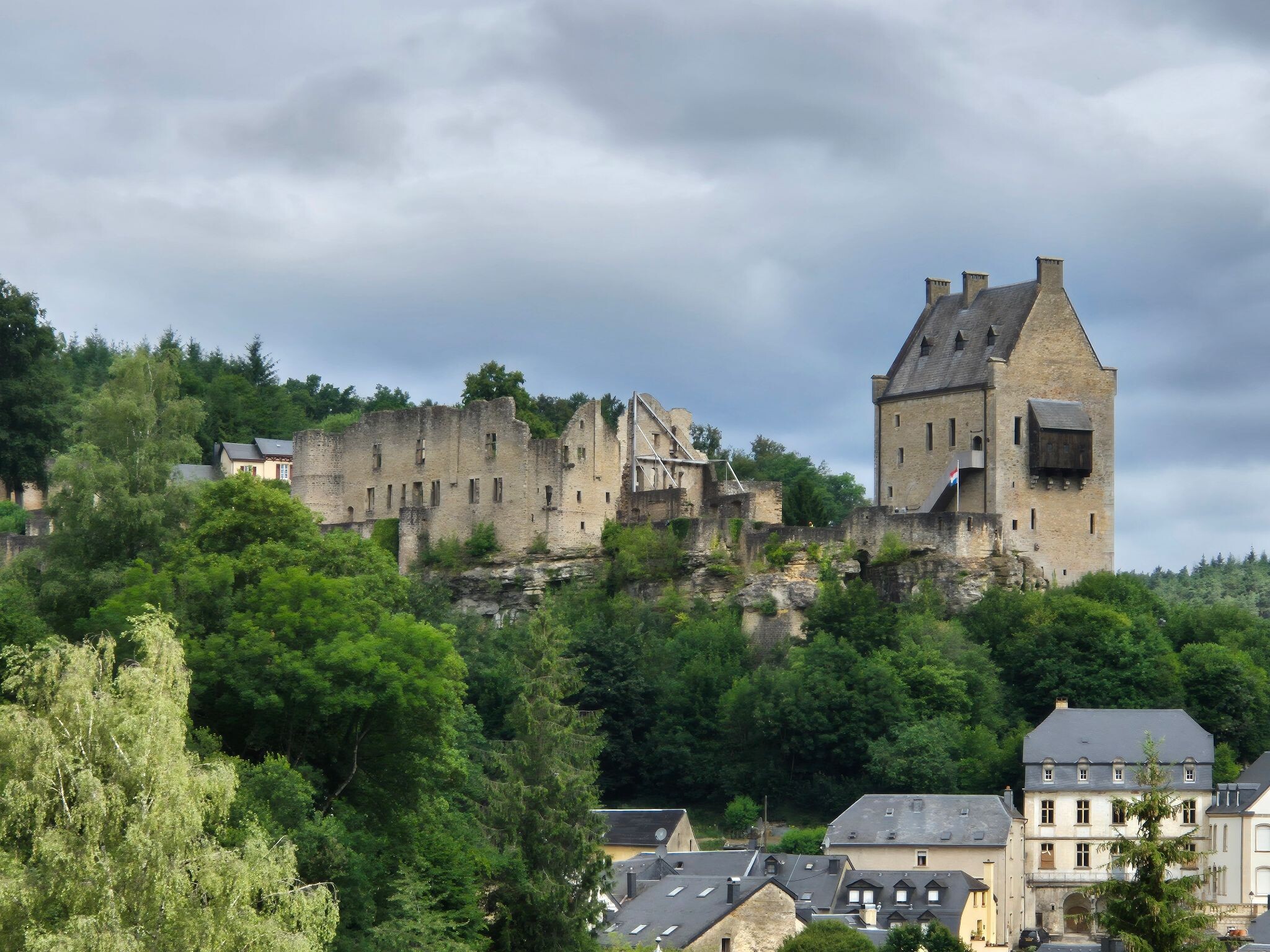
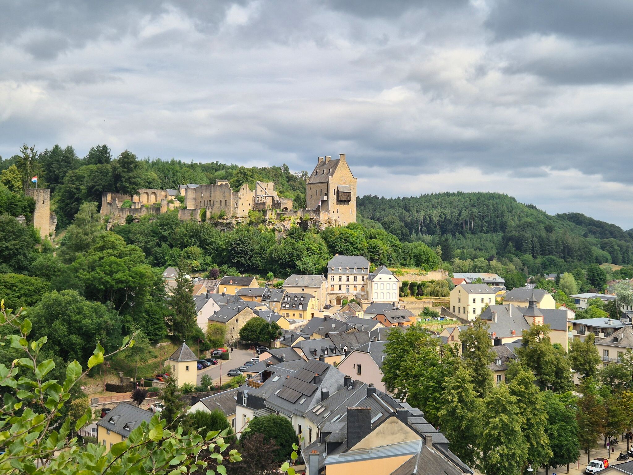
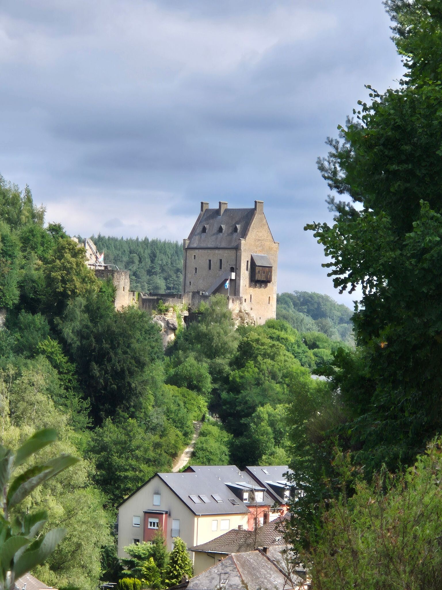
#2. Blumenthal - Larochette · Mullerthal Trail etappe 8
Bech,Heffingen,Larochette
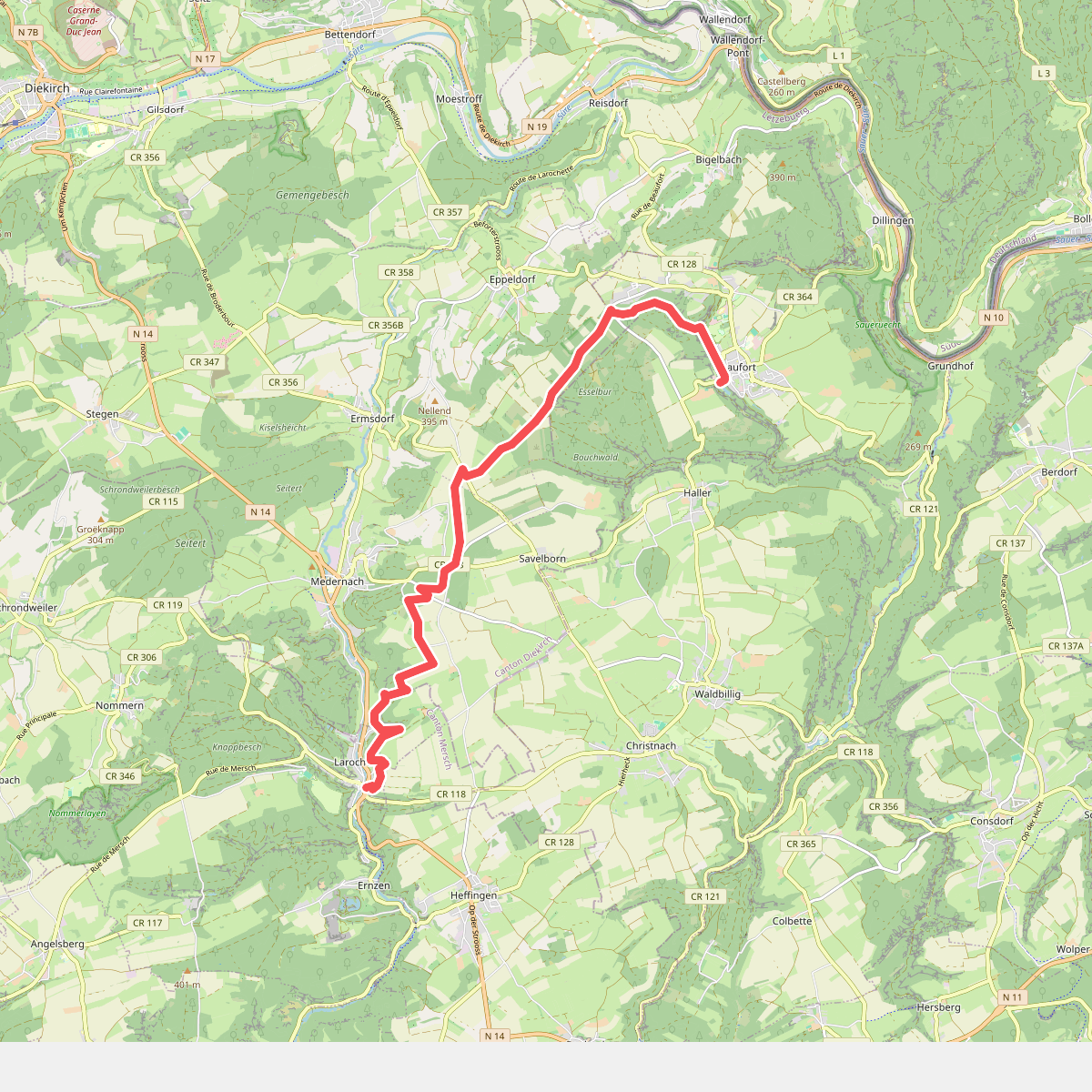
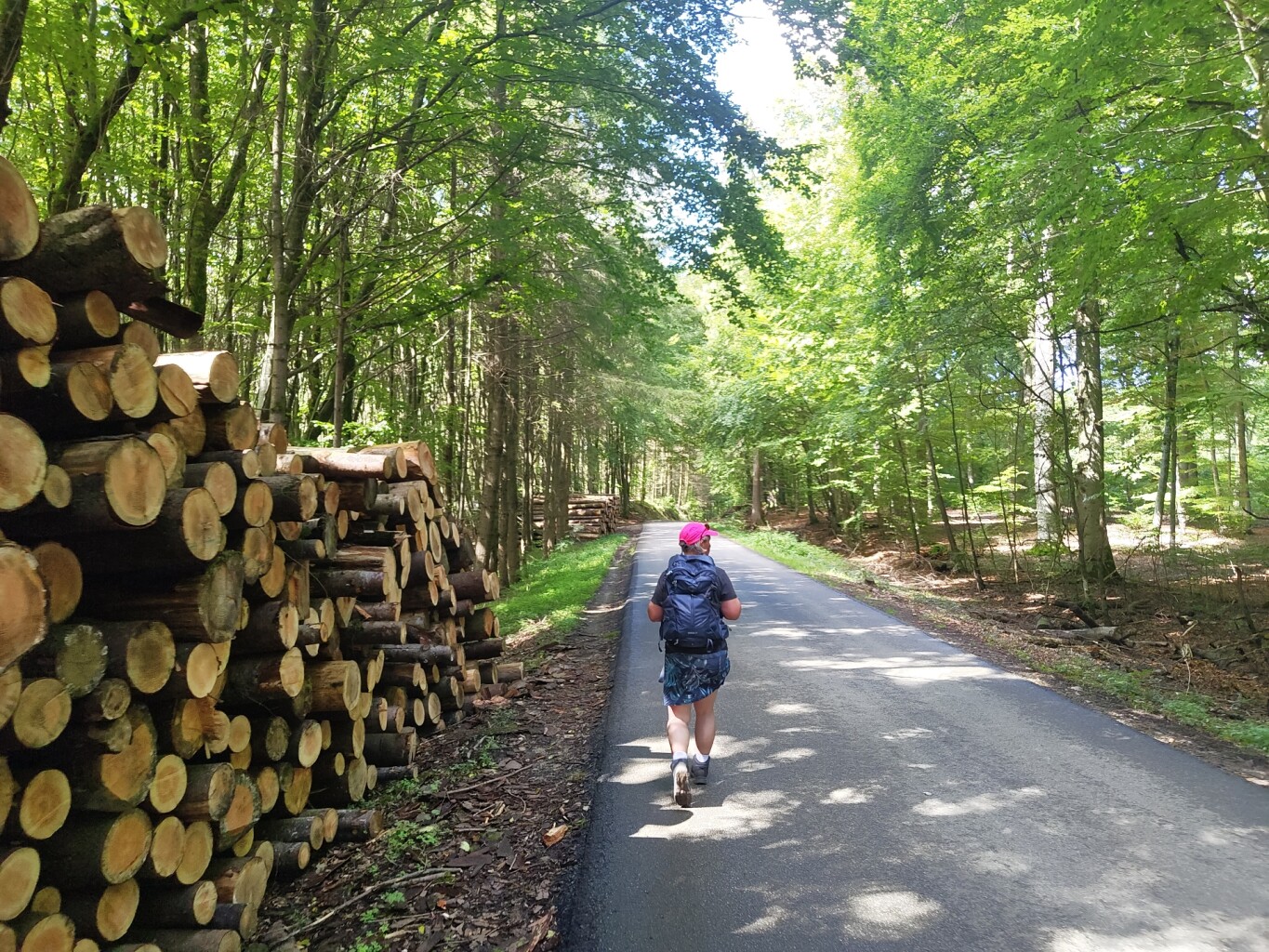
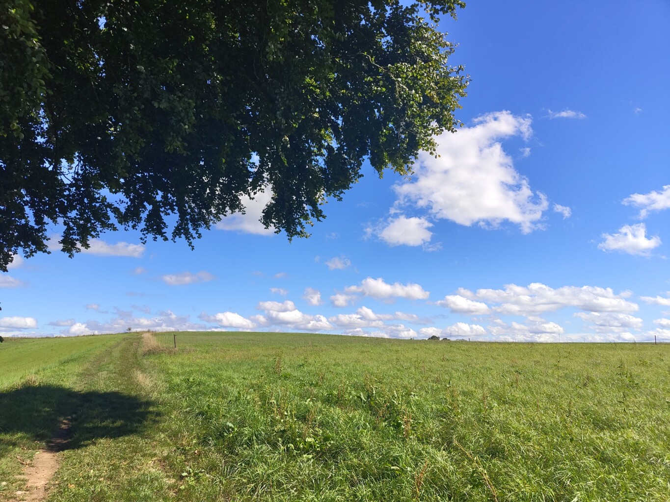
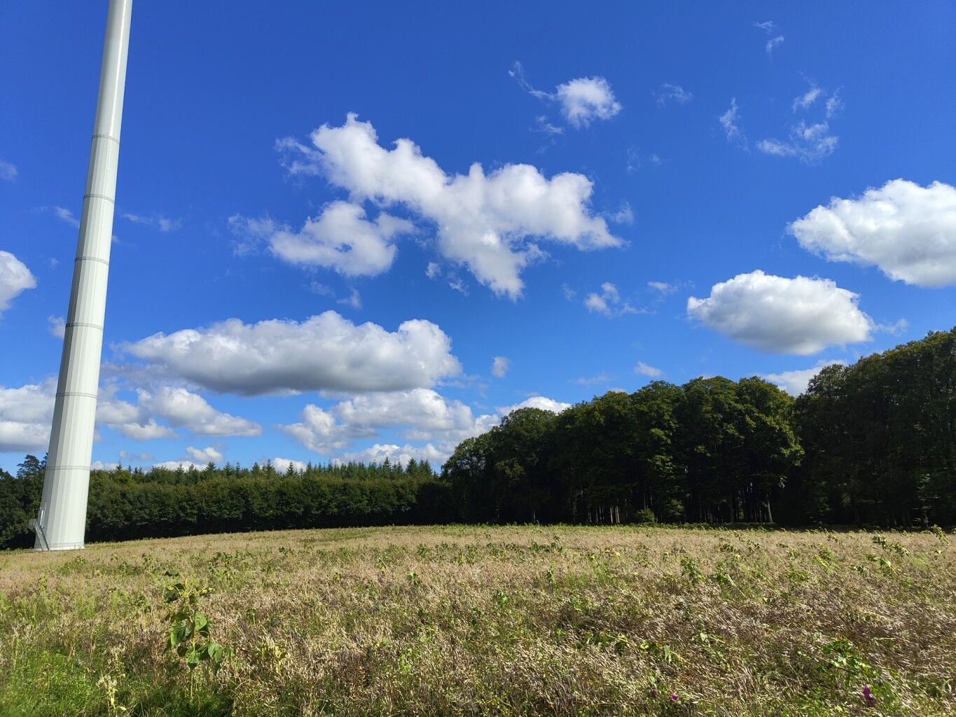
#3. Larochette - Beaufort · Mullerthal Trail etappe 9
Larochette,Vallée de l'Ernz,Beaufort
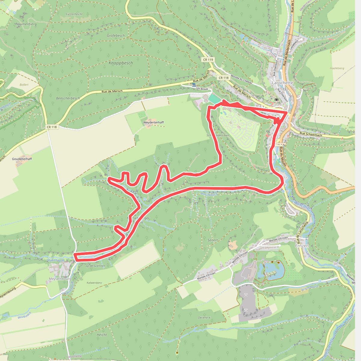
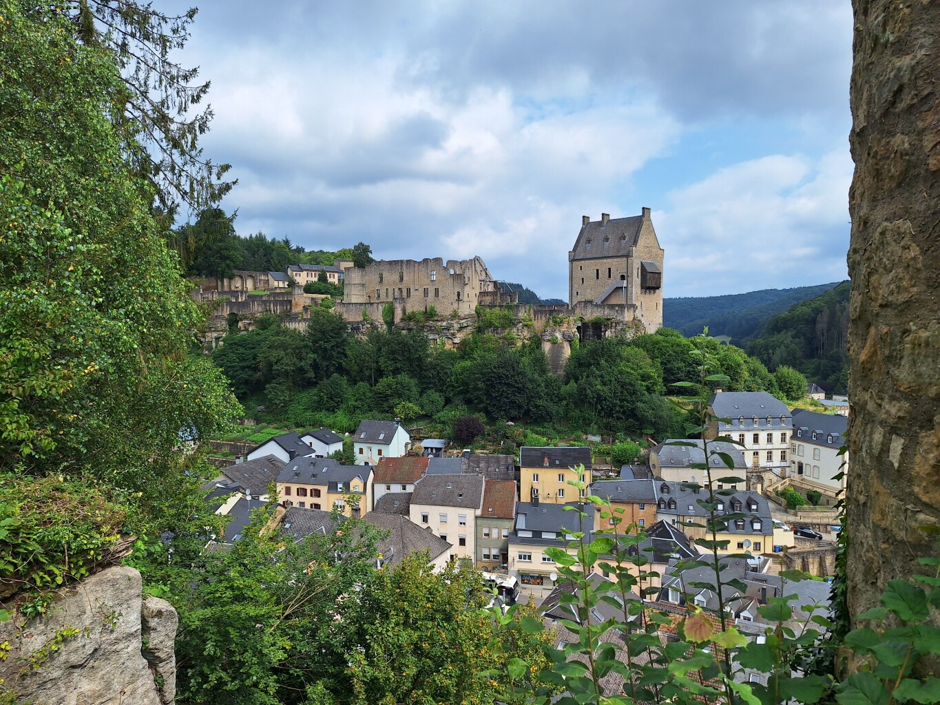
#4. Mullerthal L2
Larochette
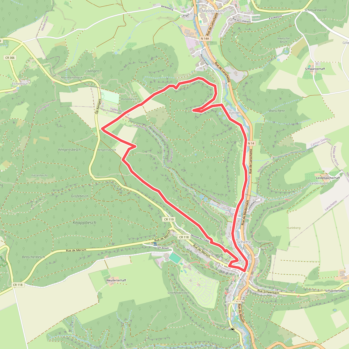
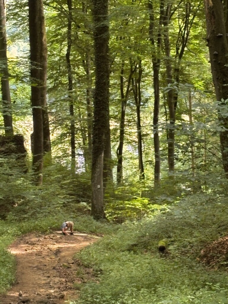
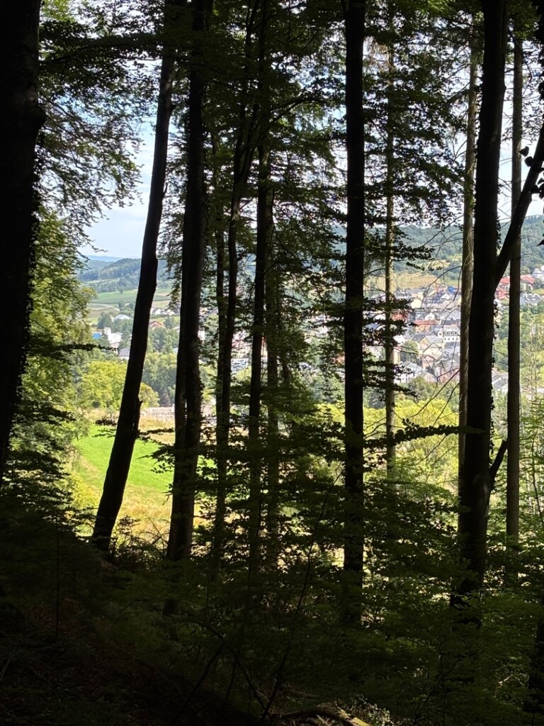
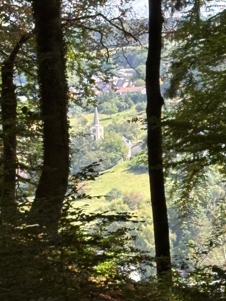
#5. Mullerthal L5
Larochette,Vallée de l'Ernz
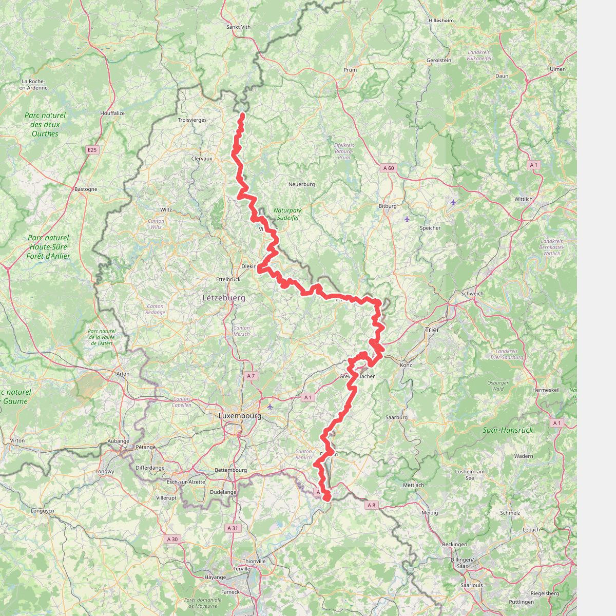
#6. GR 5 Luxembourg
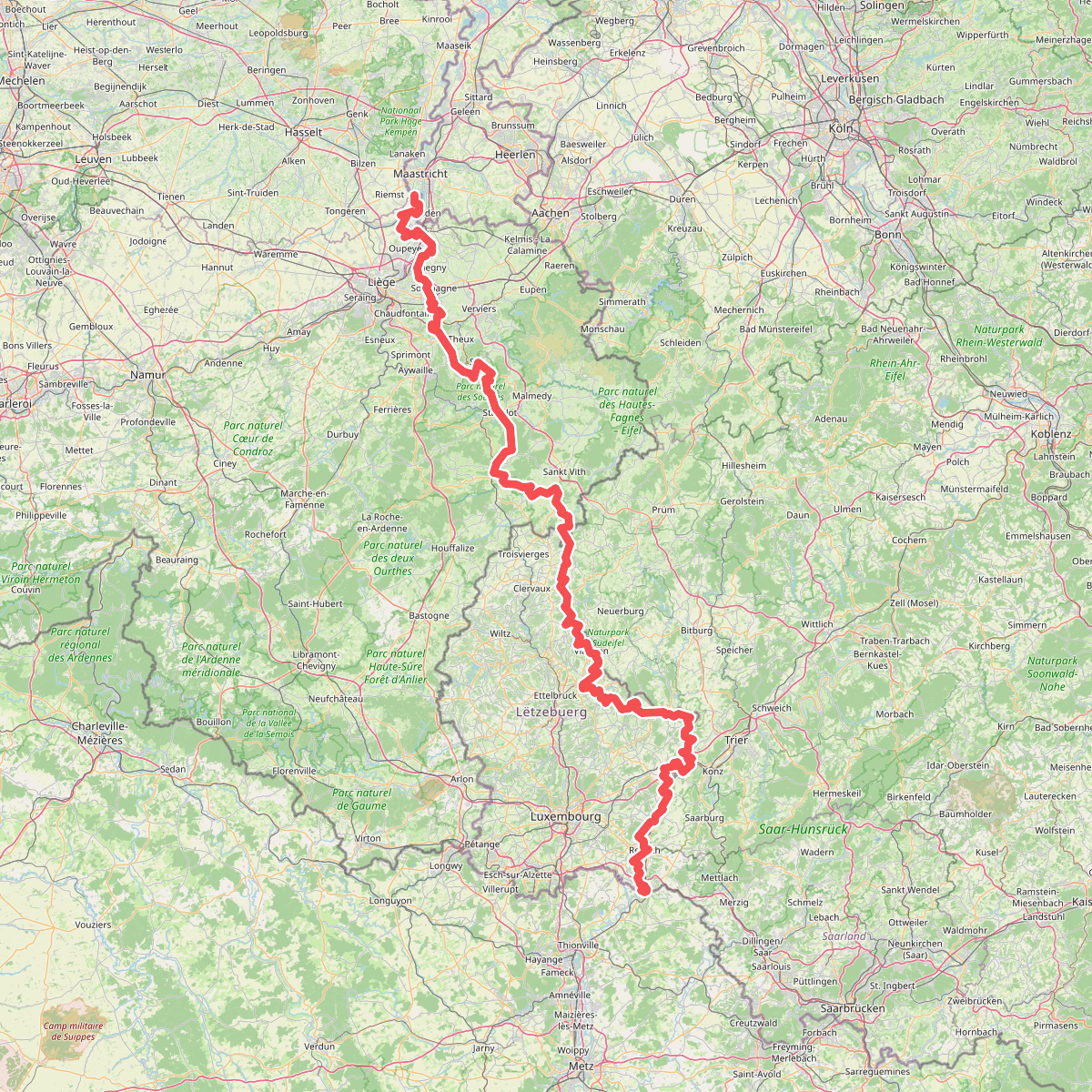
#7. Gr5 vanaf Maastricht
Riemst,Visé,Wonck,Haccourt,Feneur,Blegny,Soumagne,Olne,Trooz,Sprimont,Theux,Spa,La Gleize,Stavelot,Wanne,Vielsalm,Gouvy,Thommen,Reuland,Clervaux,Dasburg,Parc Hosingen,Putscheid,Vianden,Tandel,Bettendorf,Vallée de l'Ernz,Beaufort,Berdorf,Echternach,Rosport-Mompach,Condominium Lëtzebuerg-Deutschland,Mertert,Manternach,Wormeldange,Stadtbredimus,Remich,Schengen,Perl
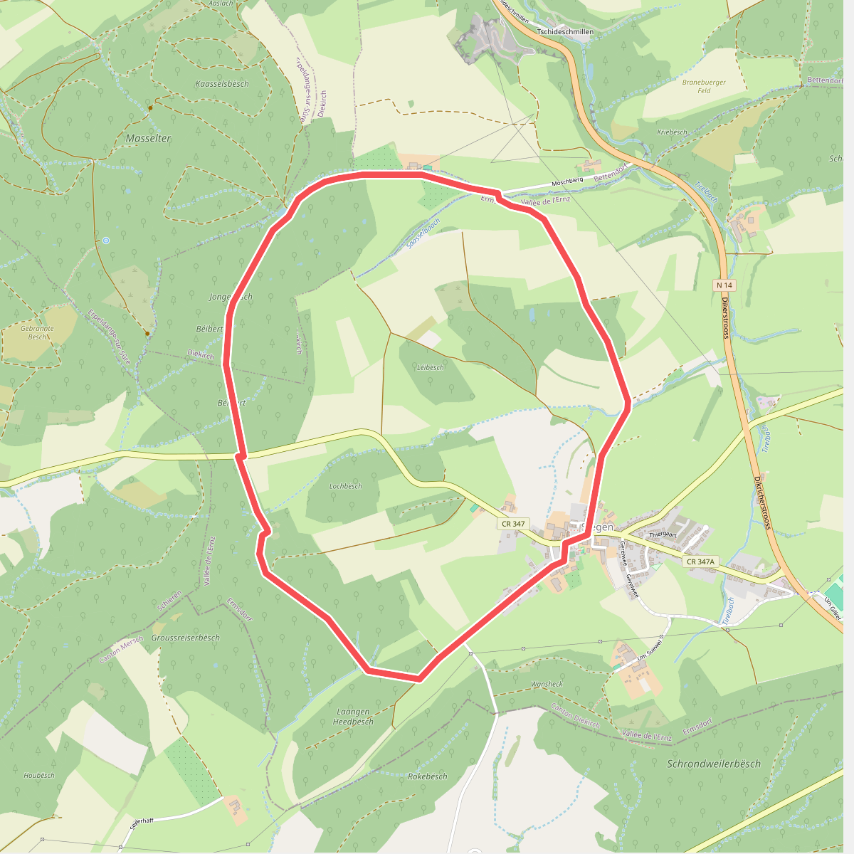
#8. Mullerthal E8
Vallée de l'Ernz,Diekirch
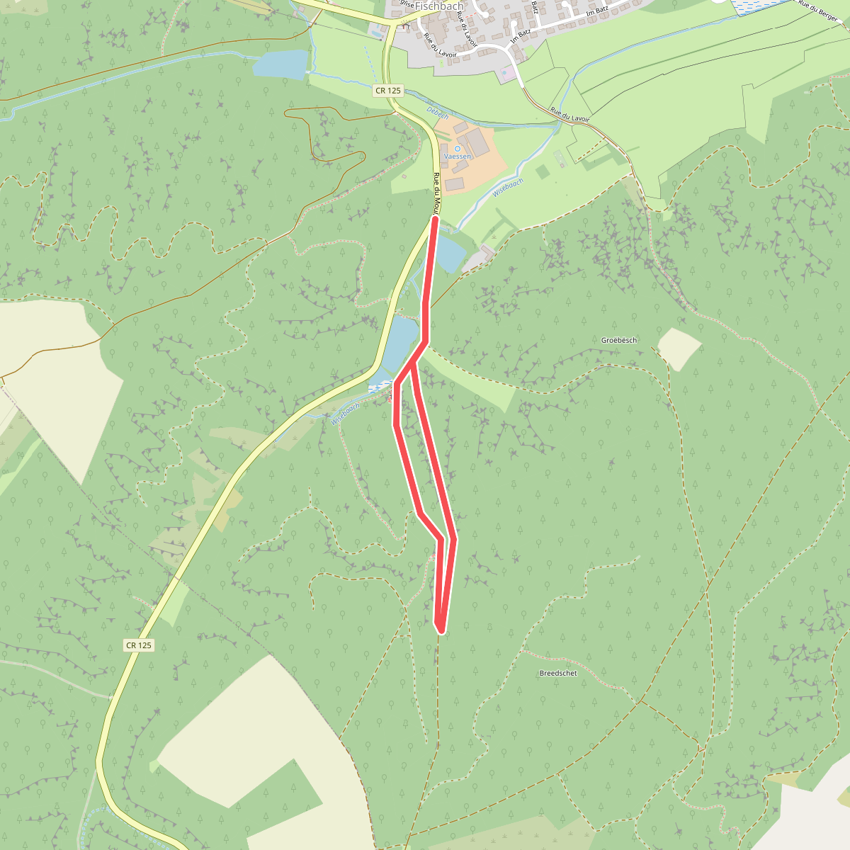
#9. Mullerthal F1
Étangs de Fischbach
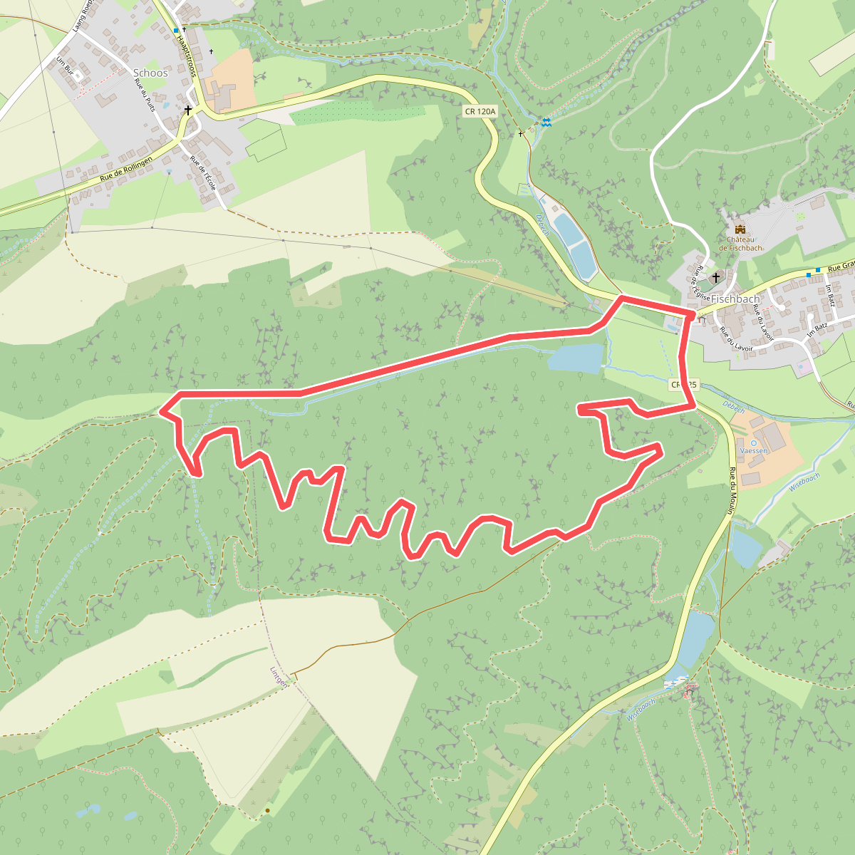
#10. Mullerthal F2
Étangs de Fischbach,Lintgen
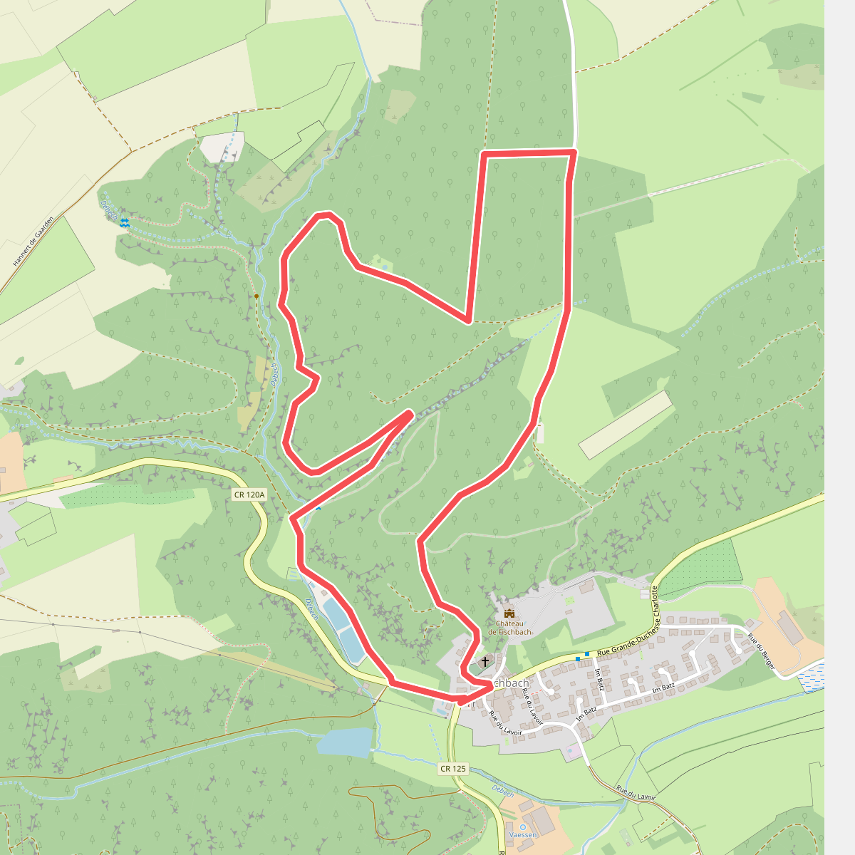
#11. Mullerthal F3
Étangs de Fischbach
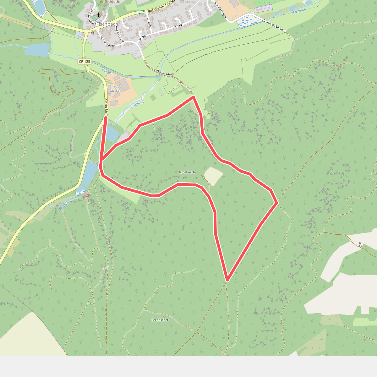
#12. Mullerthal F4
Étangs de Fischbach



