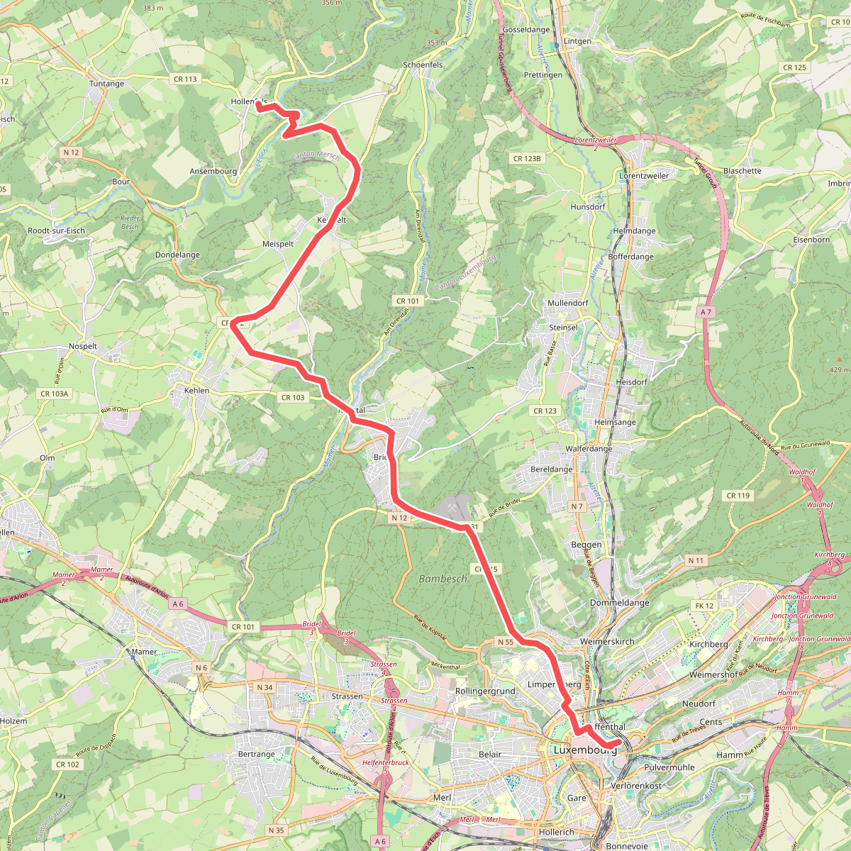
The best hiking routes in Canton Luxembourg
Discover the best walks in Canton Luxembourg. 7 routes on the map, with descriptions, photos and GPX.
About Canton Luxembourg
Canton Luxembourg offers a landscape of transition, where the urban sprawl of the capital city quickly gives way to rolling agricultural plateaus and pockets of dense sandstone forestry. This is not a region of dramatic gorges or high mountain peaks, but rather a network of gentle valleys carved by modest watercourses like the Alzette. Walkers will find a mix of wide agricultural tracks and shaded woodland paths that reveal the area's dual character of suburban convenience and rural quiet. Underfoot, the terrain alternates between hard-packed gravel, forest dirt, and paved agricultural lanes.
Read more
About Canton Luxembourg
Canton Luxembourg offers a landscape of transition, where the urban sprawl of the capital city quickly gives way to rolling agricultural plateaus and pockets of dense sandstone forestry. This is not a region of dramatic gorges or high mountain peaks, but rather a network of gentle valleys carved by modest watercourses like the Alzette. Walkers will find a mix of wide agricultural tracks and shaded woodland paths that reveal the area's dual character of suburban convenience and rural quiet. Underfoot, the terrain alternates between hard-packed gravel, forest dirt, and paved agricultural lanes.
Read moreCanton Luxembourg offers a landscape of transition, where the urban sprawl of the capital city quickly gives way to rolling agricultural plateaus and pockets of dense sandstone forestry. This is not a region of dramatic gorges or high mountain peaks, but rather a network of gentle valleys carved by modest watercourses like the Alzette. Walkers will find a mix of wide agricultural tracks and shaded woodland paths that reveal the area's dual character of suburban convenience and rural quiet. Underfoot, the terrain alternates between hard-packed gravel, forest dirt, and paved agricultural lanes.
To the north and east of the capital, the landscape opens into wide, undulating fields where the soil is heavily farmed. In these sections, you will walk along exposed farm tracks with wide views of villages and church spires. In contrast, the wooded valleys, such as those near Hesperange or Steinsel, offer cooler, enclosed paths under beech and oak canopies. Here, the sandstone geology becomes visible in small rocky outcrops and steeper, clay-heavy climbs.
In late October, the beech forests in the valley sides turn a deep copper, making these wooded sections particularly distinct from the open, muddy fields nearby. While paths close to the city edges and popular parklands can be busy with local joggers and families, the deeper forest tracks further north remain quiet. Choosing a walk here means deciding between open, breezy plateau tracks and the sheltered, damp air of the sandstone stream valleys.
Zoom or pan for more routes
Hiking routes in Canton Luxembourg (7)
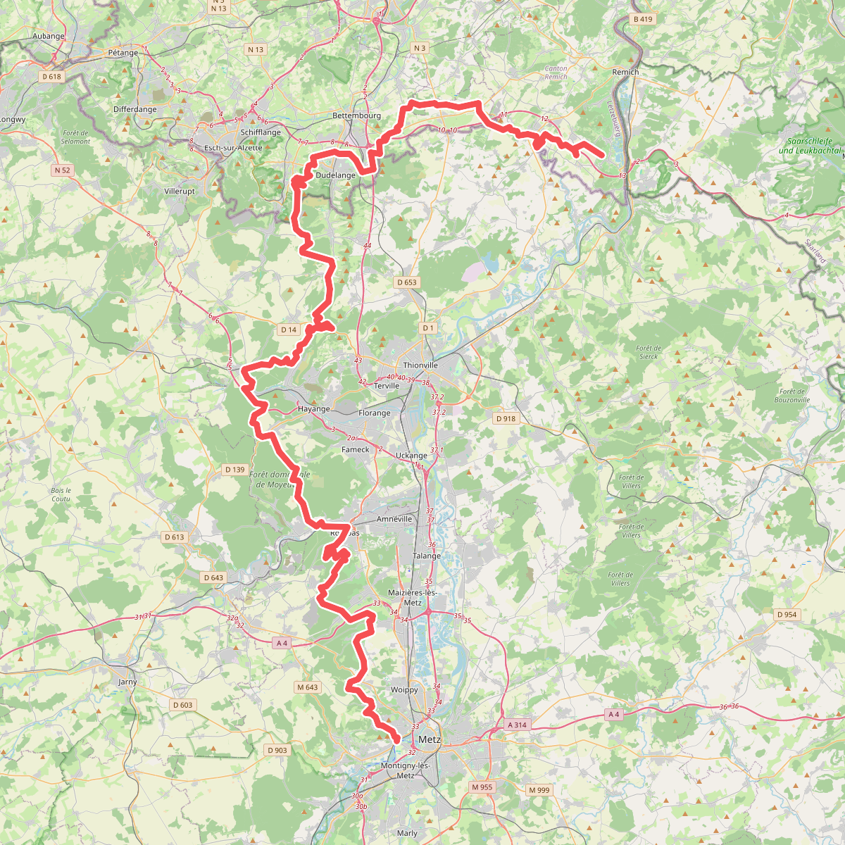
#1. GR 5
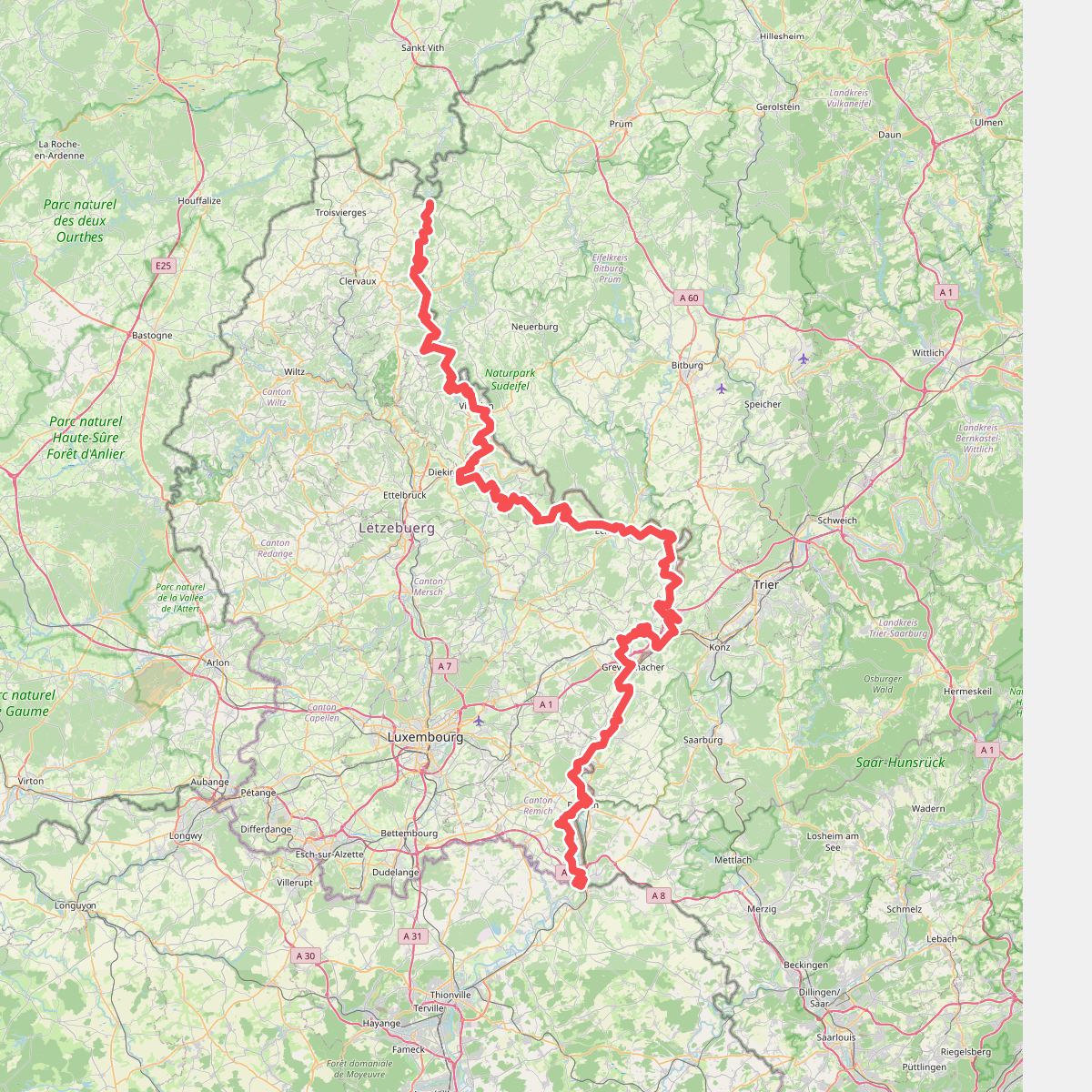
#2. GR 5 Luxembourg
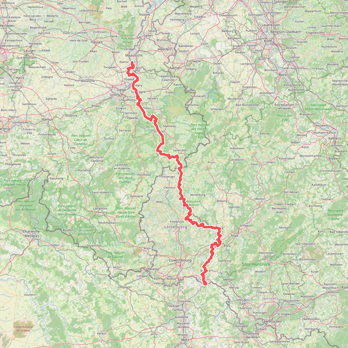
#3. Gr5 vanaf Maastricht
Riemst,Visé,Wonck,Haccourt,Feneur,Blegny,Soumagne,Olne,Trooz,Sprimont,Theux,Spa,La Gleize,Stavelot,Wanne,Vielsalm,Gouvy,Thommen,Reuland,Clervaux,Dasburg,Parc Hosingen,Putscheid,Vianden,Tandel,Bettendorf,Vallée de l'Ernz,Beaufort,Berdorf,Echternach,Rosport-Mompach,Condominium Lëtzebuerg-Deutschland,Mertert,Manternach,Wormeldange,Stadtbredimus,Remich,Schengen,Perl
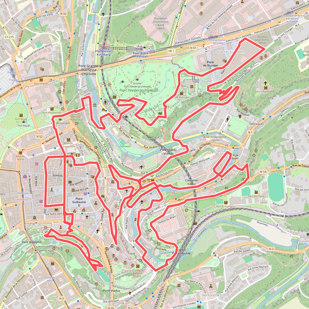
#4. Stadswandeling
Luxembourg
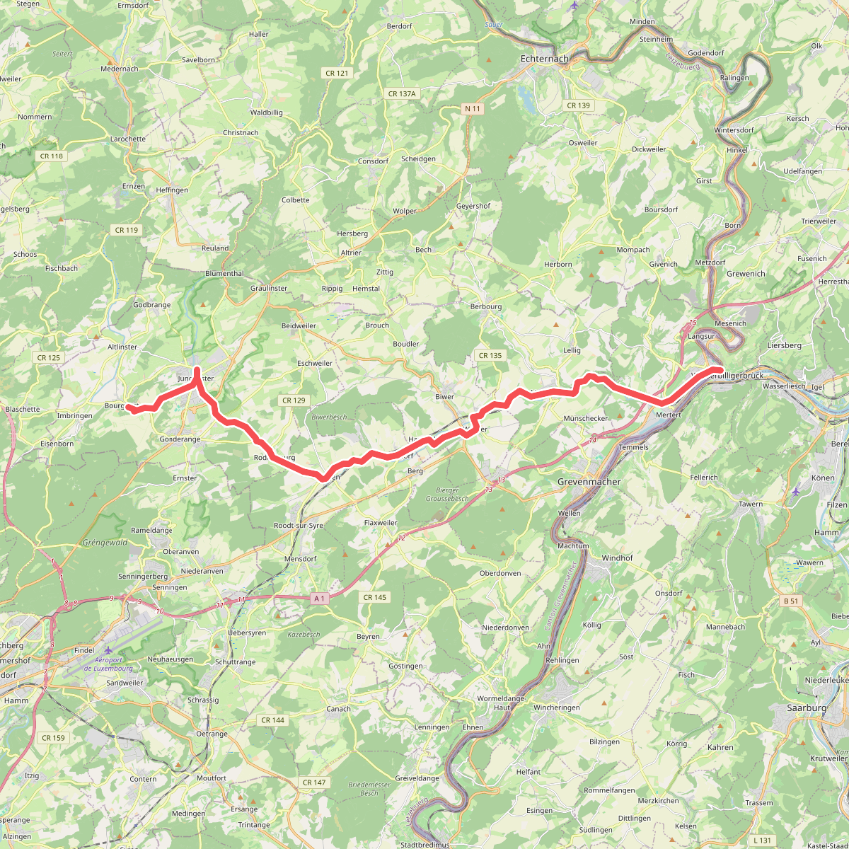
#5. Via Sancti Martini HW-40-01 Mertert (Lux) - Junglinster
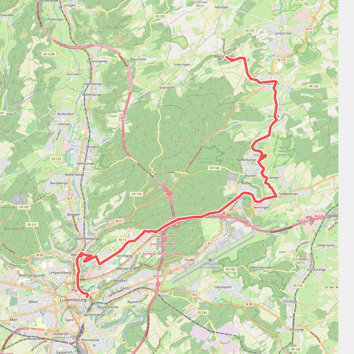
#6. Via Sancti Martini HW-40-02 Junglinster - Luxembourg