

The best hiking routes in Canton Echternach
Discover the best walks in Canton Echternach. 76 routes on the map, with descriptions, photos and GPX.
About Canton Echternach
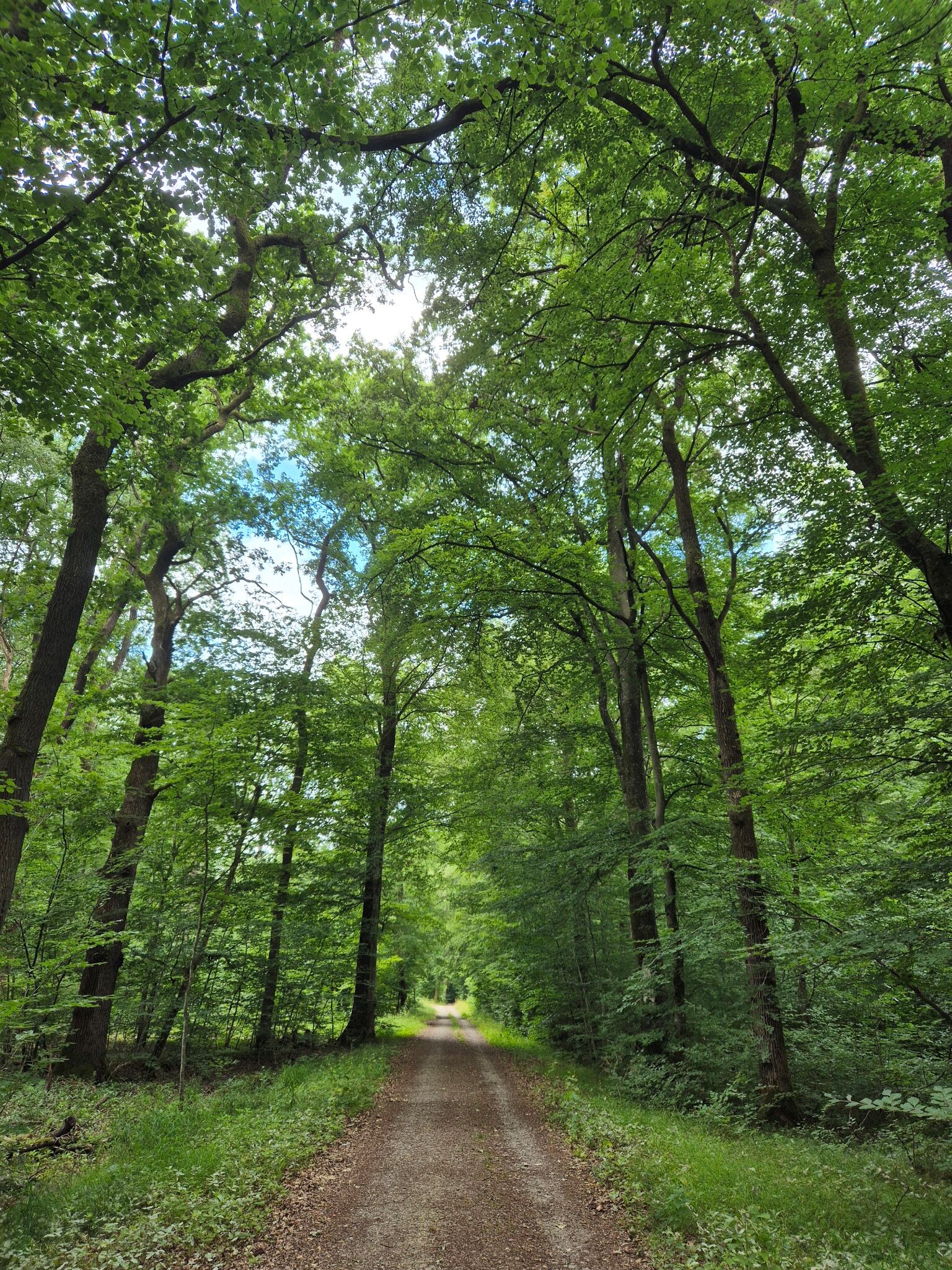
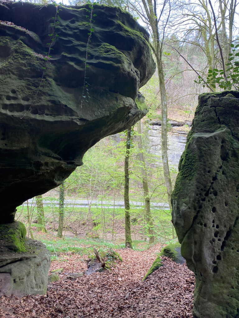
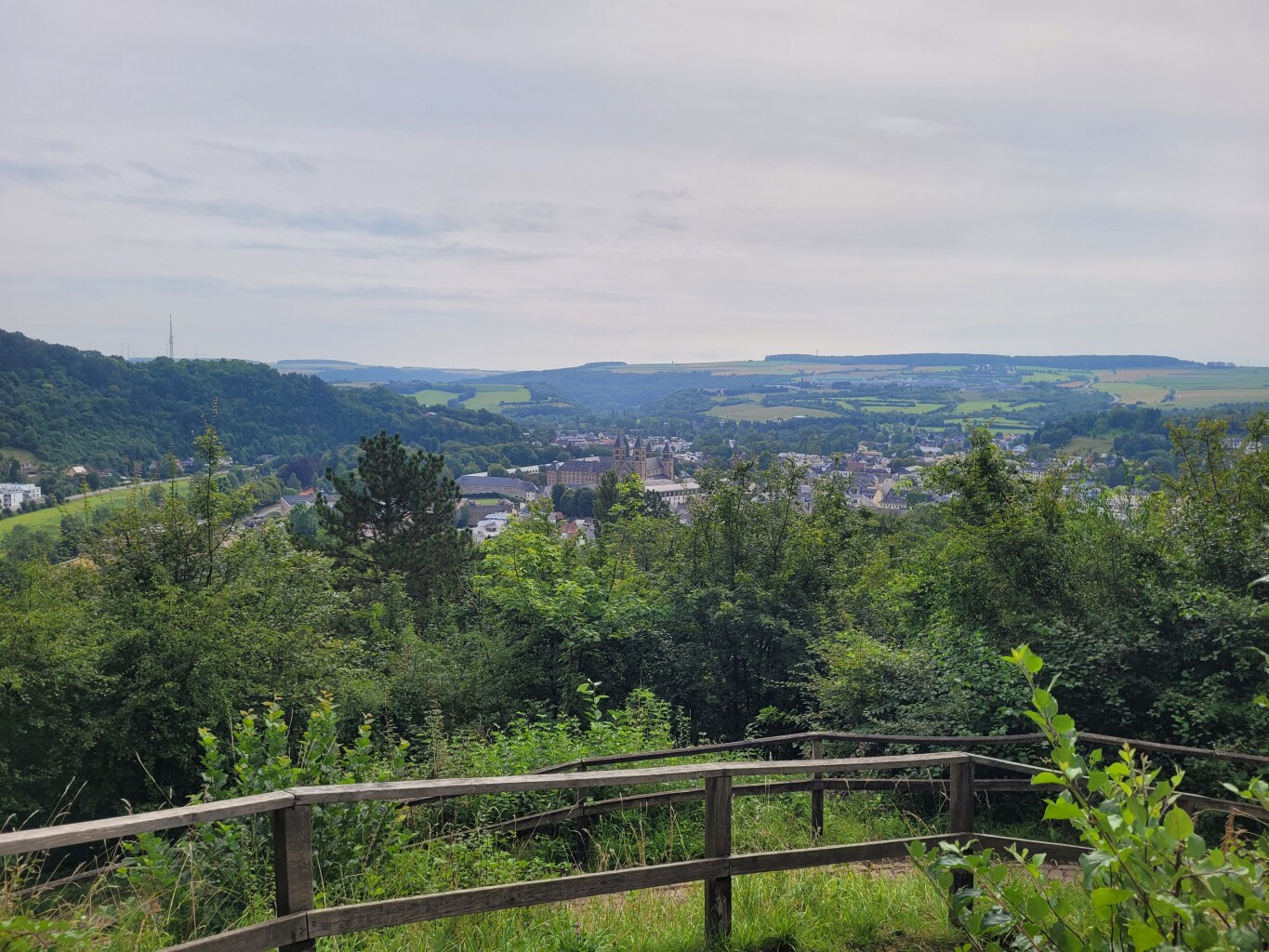
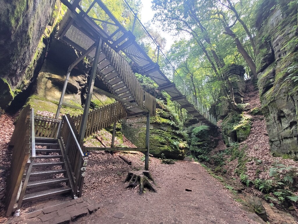
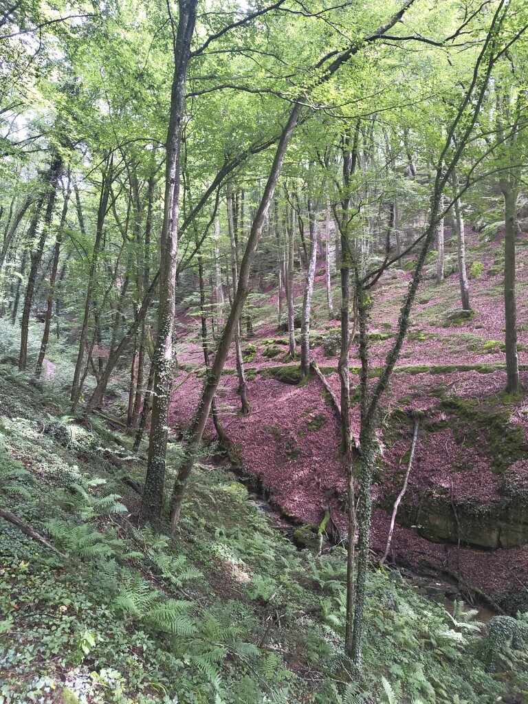
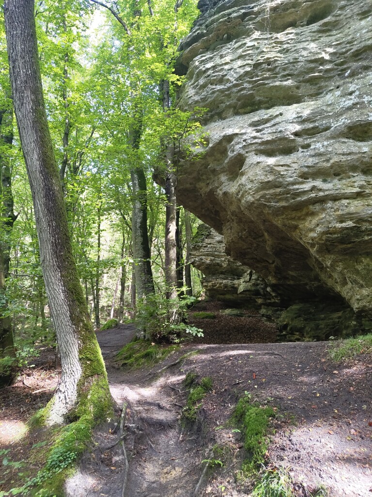
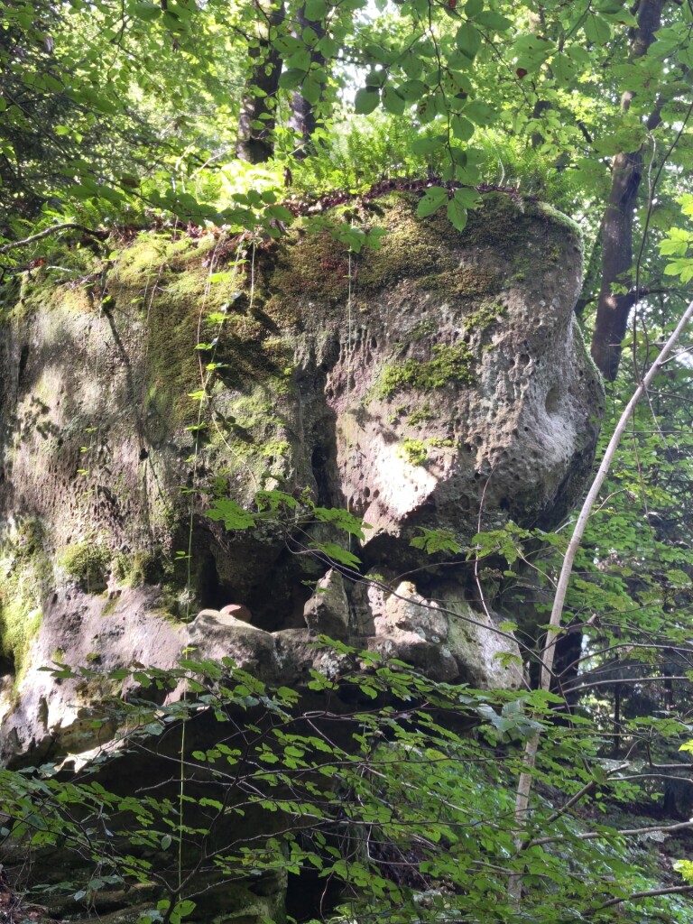
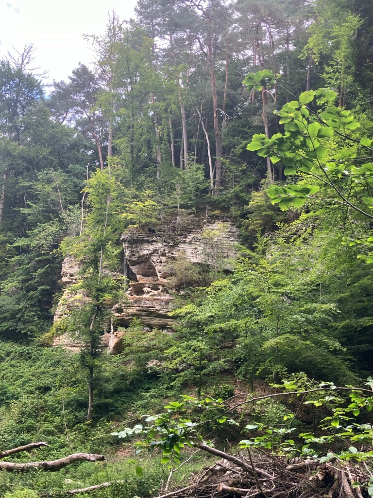
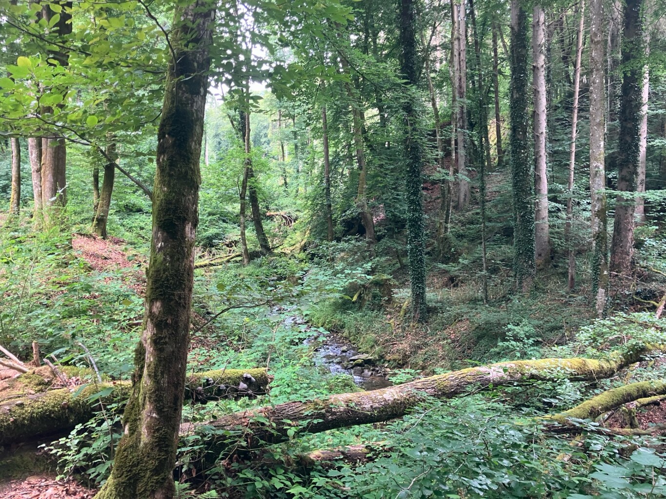
Canton Echternach, located in eastern Luxembourg, is defined by its dramatic sandstone topography rather than high mountain peaks. Walkers should expect steep-sided wooded gorges, labyrinthine rock crevices, and flat-topped hills instead of sweeping alpine vistas. The terrain is heavily forested, meaning views are usually framed by beech trees and moss-covered stone walls rather than open horizons. Underfoot, paths alternate between sandy forest soil, stone steps carved directly into the cliffs, and occasional wooden footbridges over narrow streams.
Read more
About Canton Echternach
Canton Echternach, located in eastern Luxembourg, is defined by its dramatic sandstone topography rather than high mountain peaks. Walkers should expect steep-sided wooded gorges, labyrinthine rock crevices, and flat-topped hills instead of sweeping alpine vistas. The terrain is heavily forested, meaning views are usually framed by beech trees and moss-covered stone walls rather than open horizons. Underfoot, paths alternate between sandy forest soil, stone steps carved directly into the cliffs, and occasional wooden footbridges over narrow streams.
Read moreCanton Echternach, located in eastern Luxembourg, is defined by its dramatic sandstone topography rather than high mountain peaks. Walkers should expect steep-sided wooded gorges, labyrinthine rock crevices, and flat-topped hills instead of sweeping alpine vistas. The terrain is heavily forested, meaning views are usually framed by beech trees and moss-covered stone walls rather than open horizons. Underfoot, paths alternate between sandy forest soil, stone steps carved directly into the cliffs, and occasional wooden footbridges over narrow streams.
To the north and east, the landscape transitions into the Naturpark Südeifel, a protected area spanning the German-Luxembourg border. Here, the Sauer River has carved a wide valley, offering gentler riverside paths that contrast with the rugged, enclosed labyrinth of the inner Mullerthal region. While the famous rock formations near the town of Echternach attract steady foot traffic, the deeper forest trails within the German-Luxembourg nature park boundary offer a more secluded experience under a dense canopy.
In late April and May, the forest floor comes alive with fresh green beech leaves that filter the light onto the damp sandstone. You will notice how the sandy paths are actually the eroded remains of the ancient seabed that formed these cliffs millions of years ago. Walking here requires steady footing on uneven stone steps, and those seeking wide-open meadows or long-distance views may find the enclosed, rocky valleys somewhat claustrophobic.
Nature areas in Canton Echternach
Zoom or pan for more routes
Hiking routes in Canton Echternach (76)
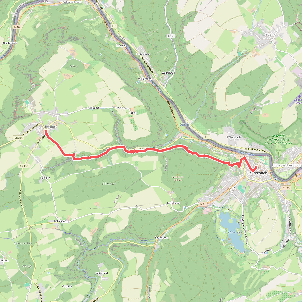
#1. Echternach - Berdorf · Mullerthal Trail etappe 5
Berdorf,Echternach
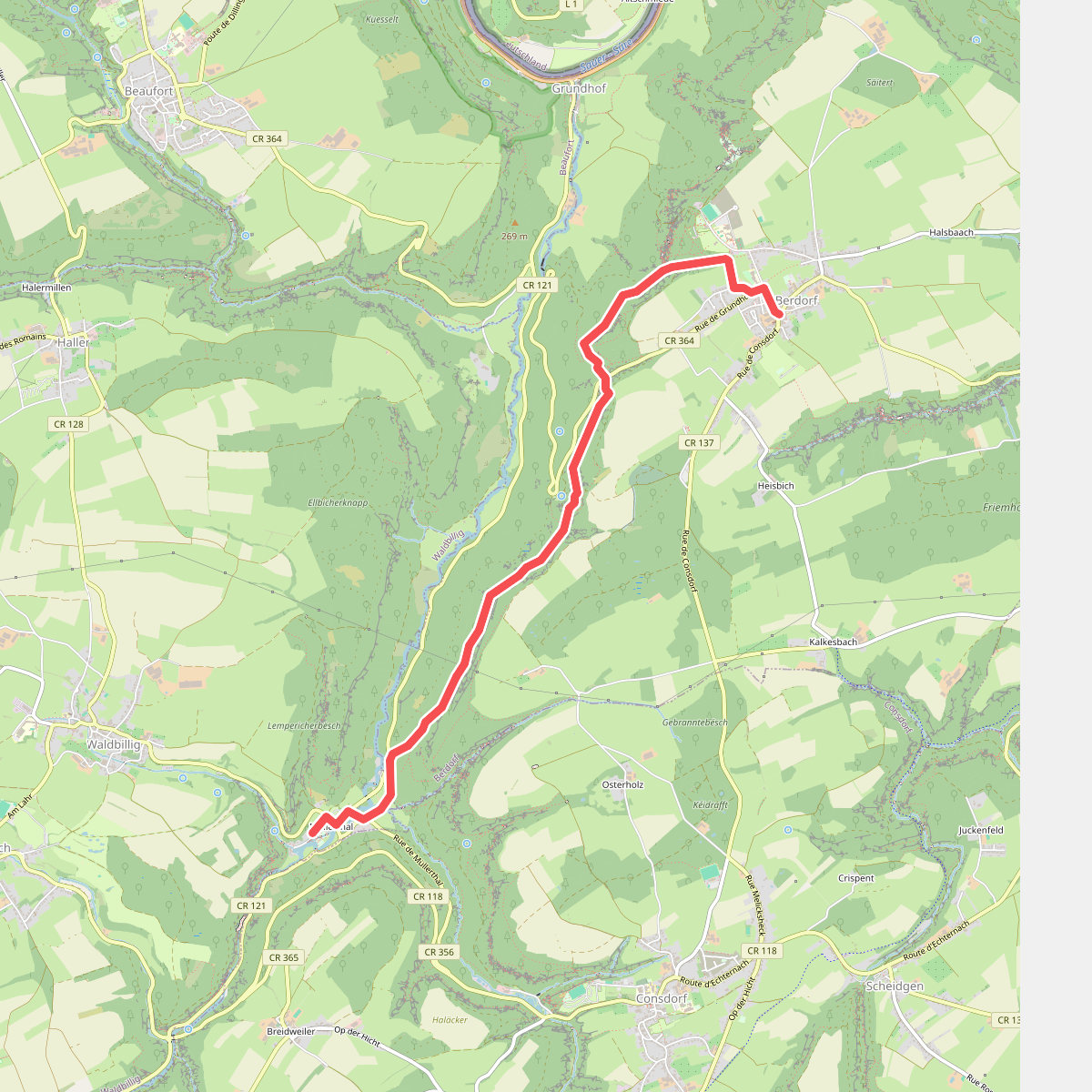

#2. Berdorf - Mullerthal · Mullerthal Trail etappe 6
Waldbillig,Berdorf
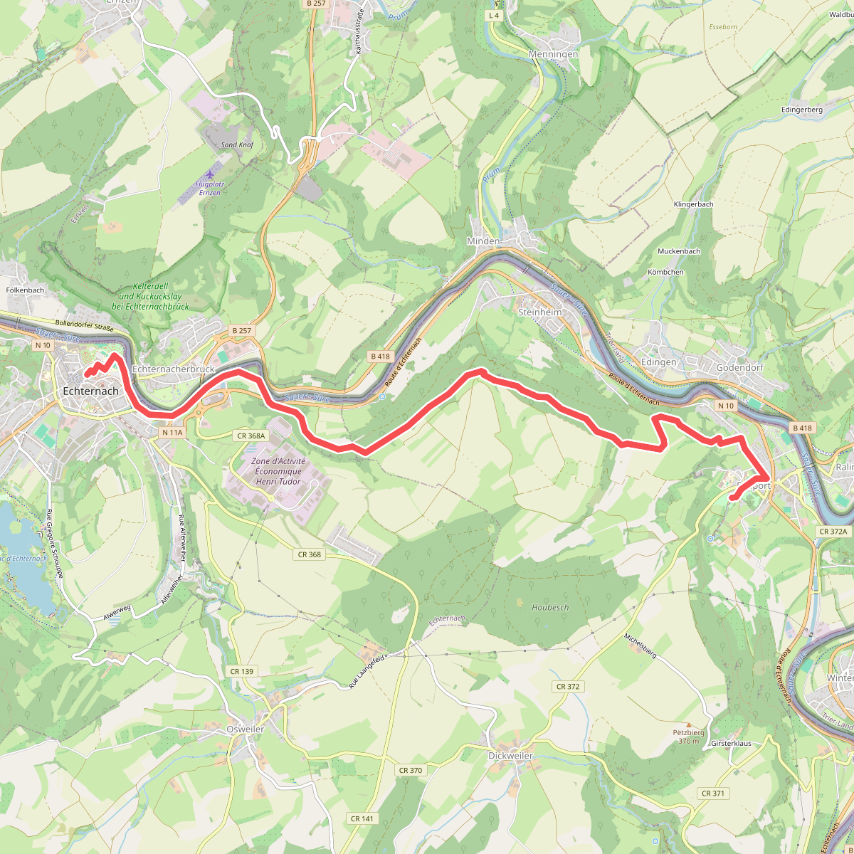
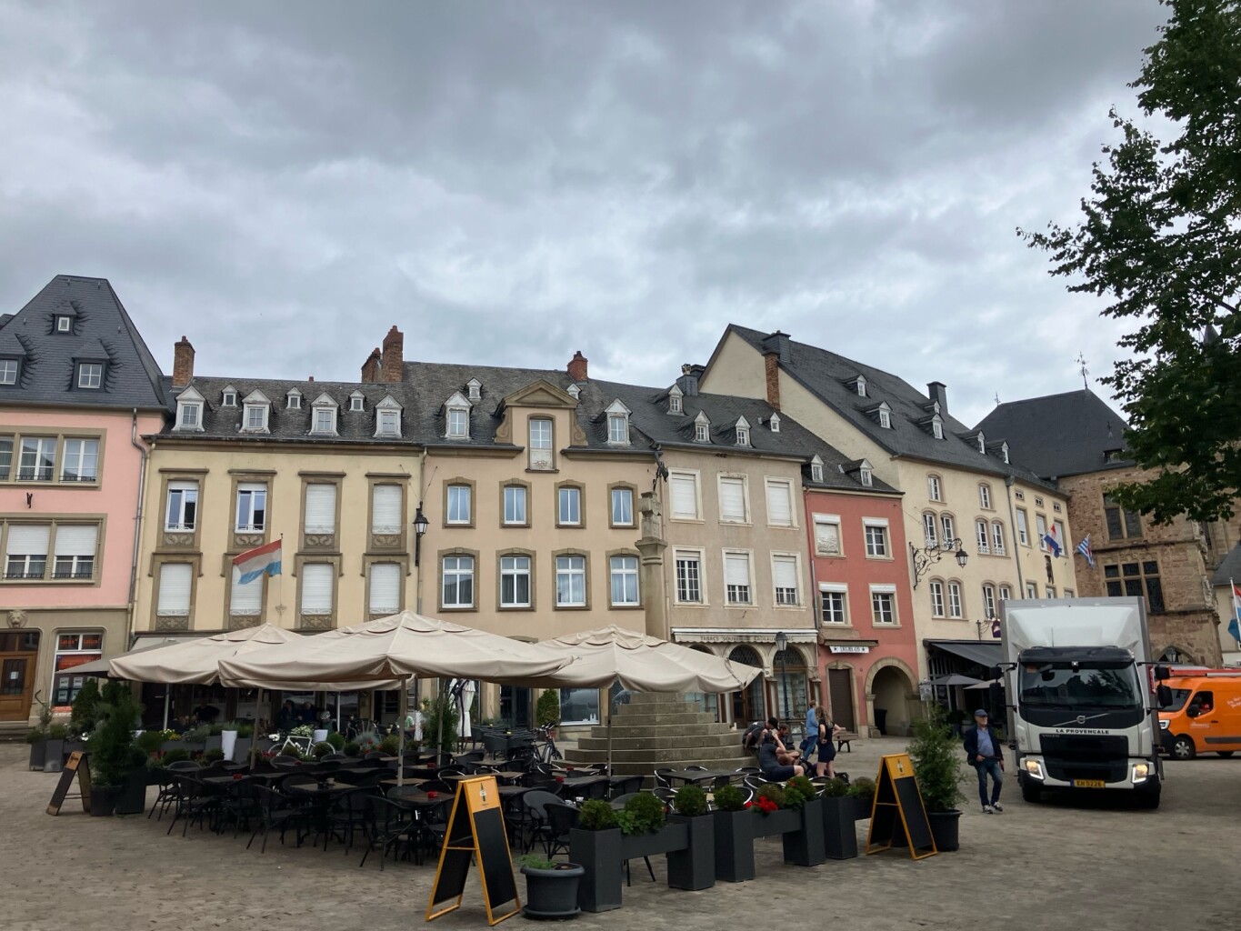
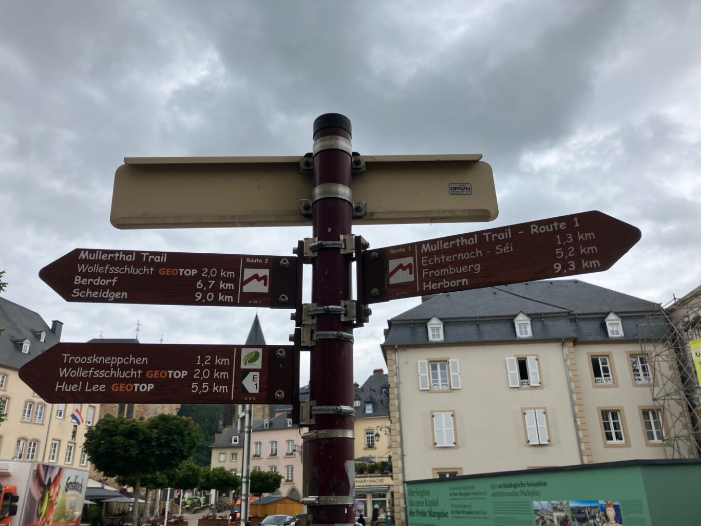
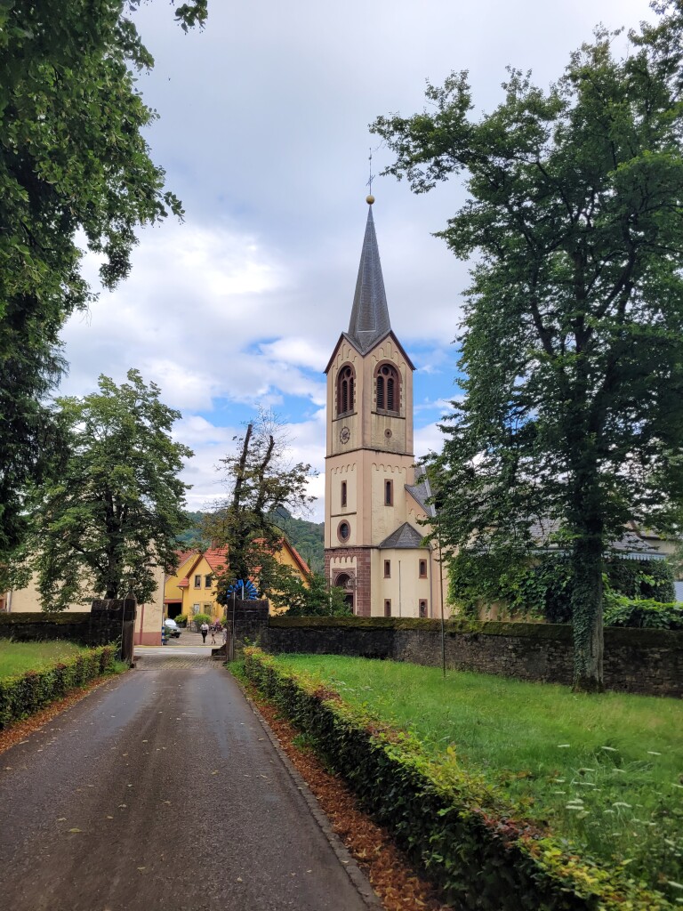
#3. Echternach - Rosport · Mullerthal Trail etappe 1
Rosport-Mompach,Echternach
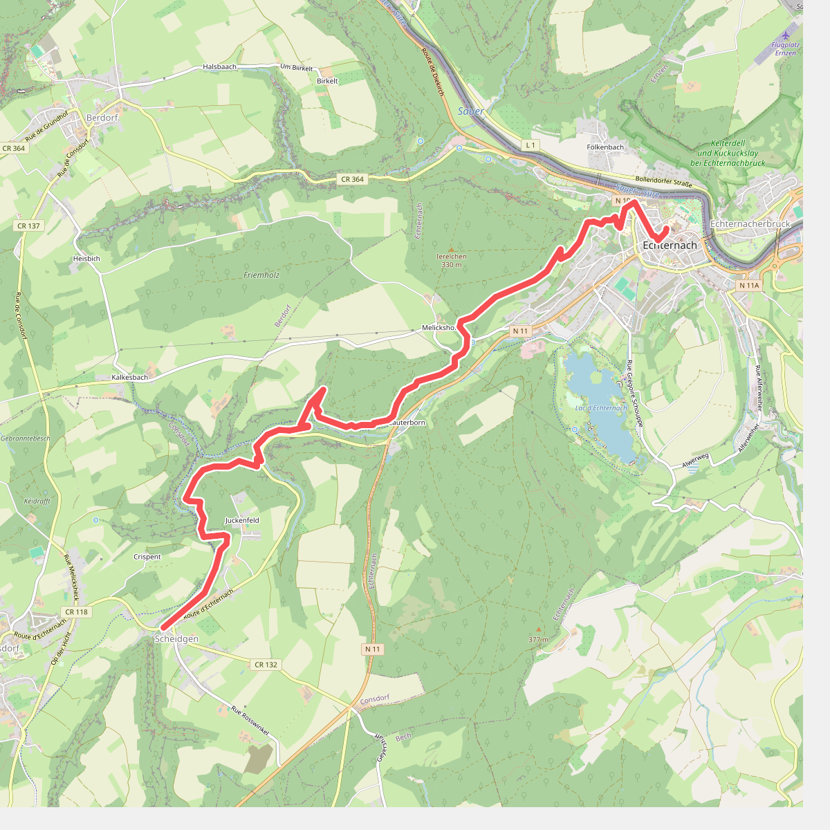
#4. Scheidgen - Echternach · Mullerthal Trail etappe 13
Echternach,Consdorf
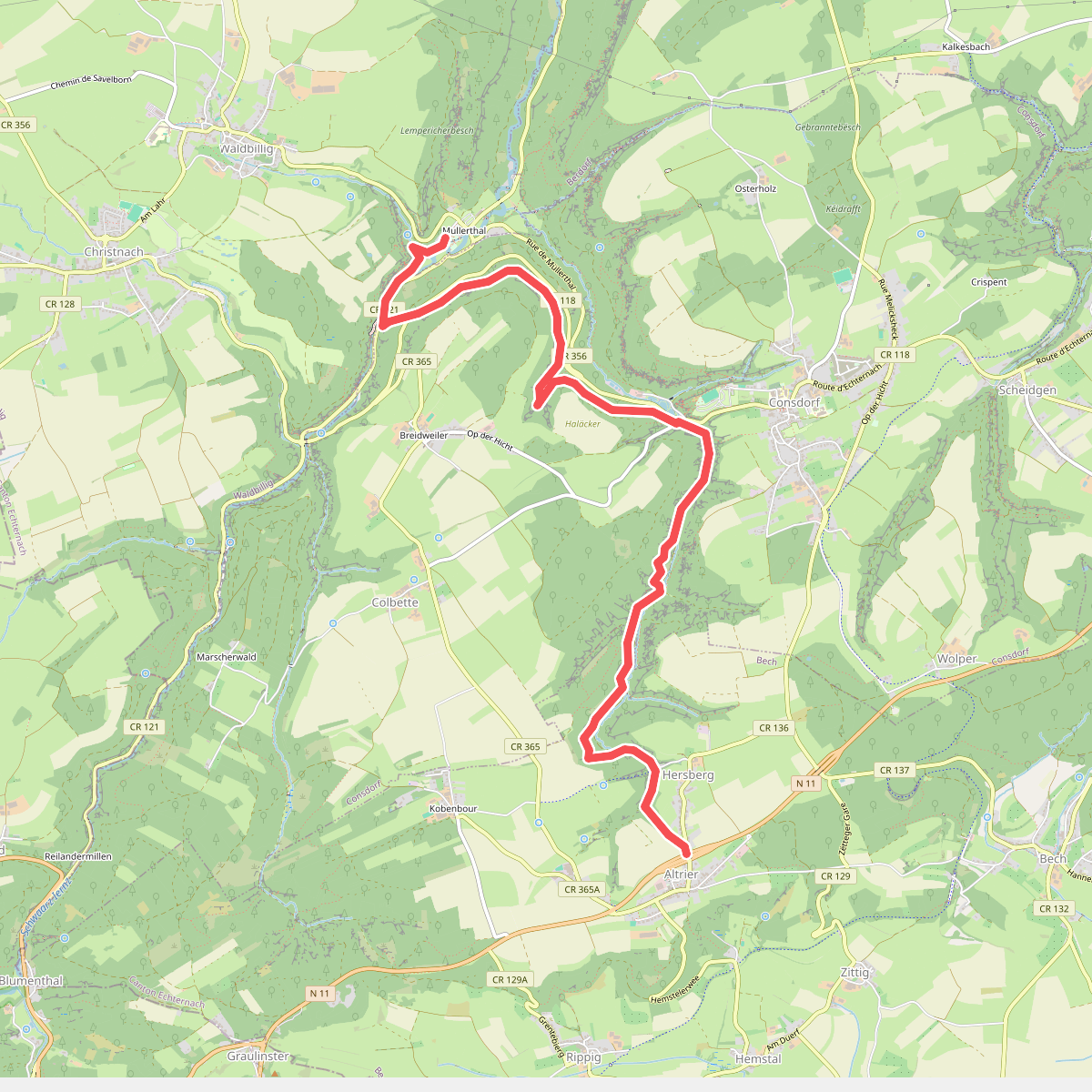
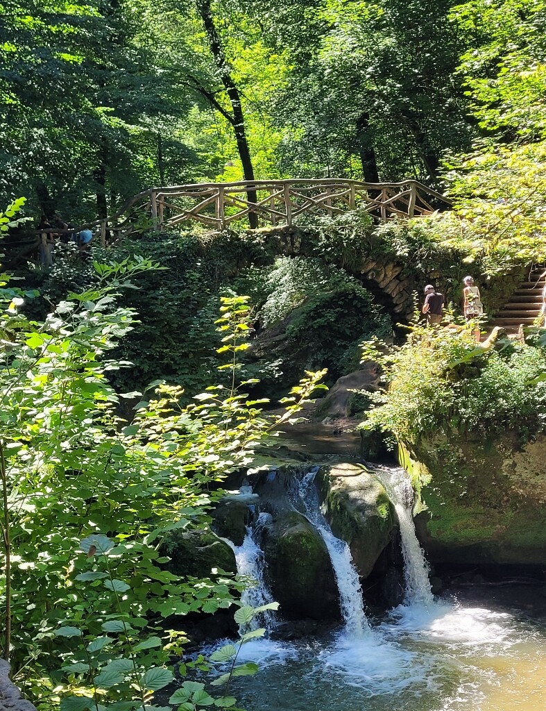
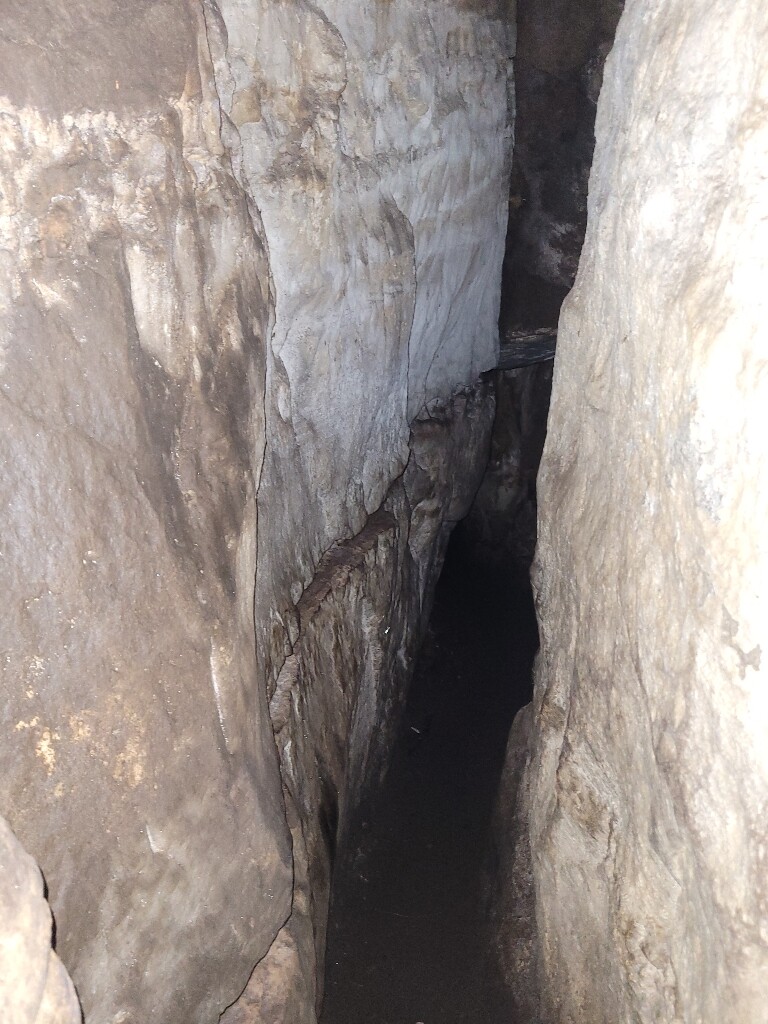
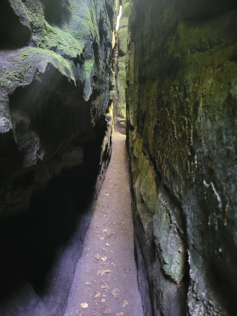
#5. Mullerthal - Hersberg · Mullerthal Trail etappe 11
Bech,Consdorf,Waldbillig
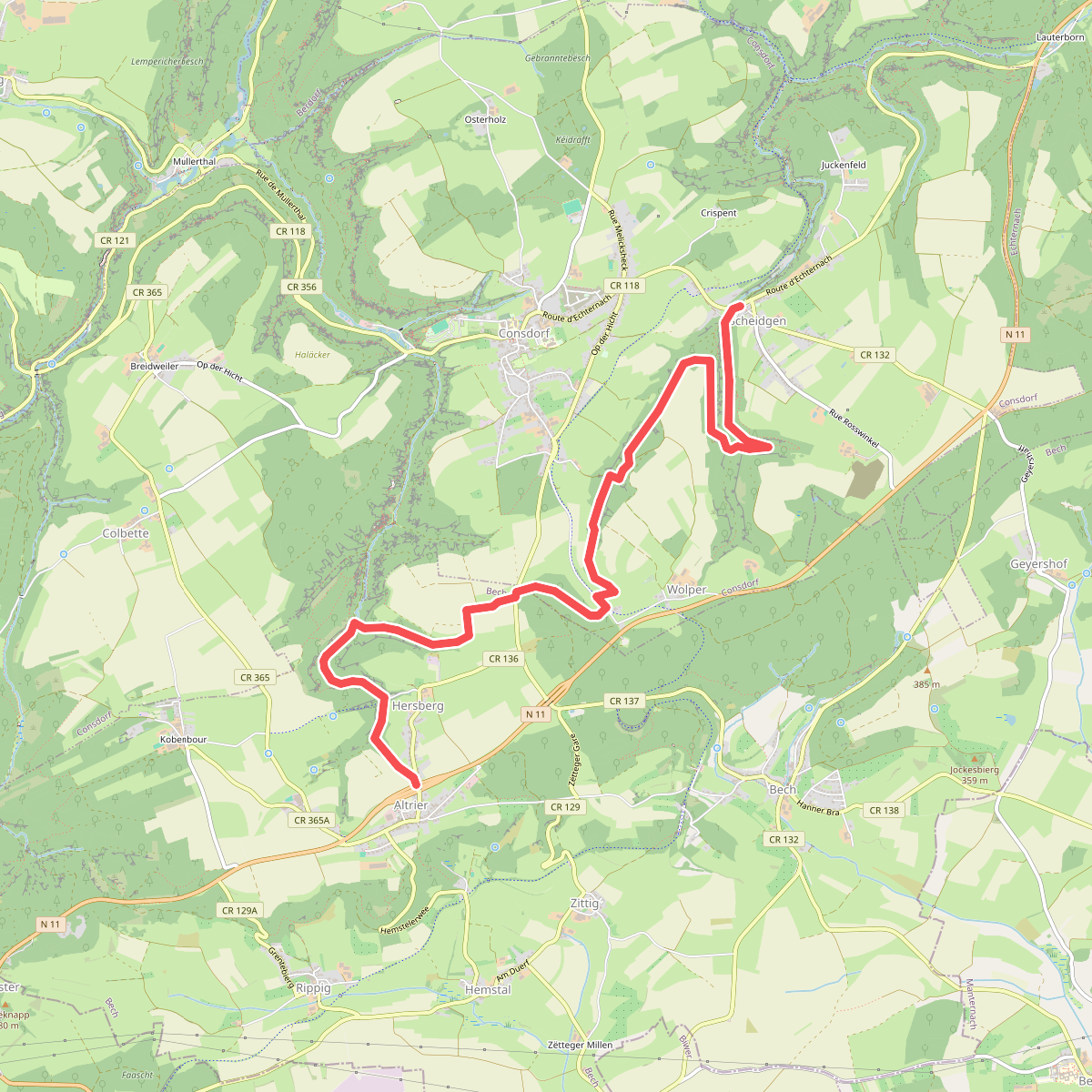
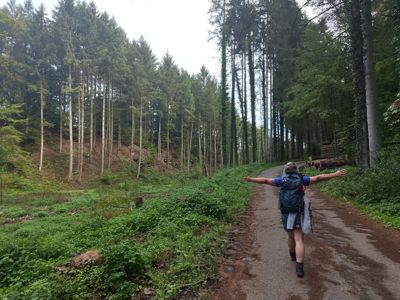
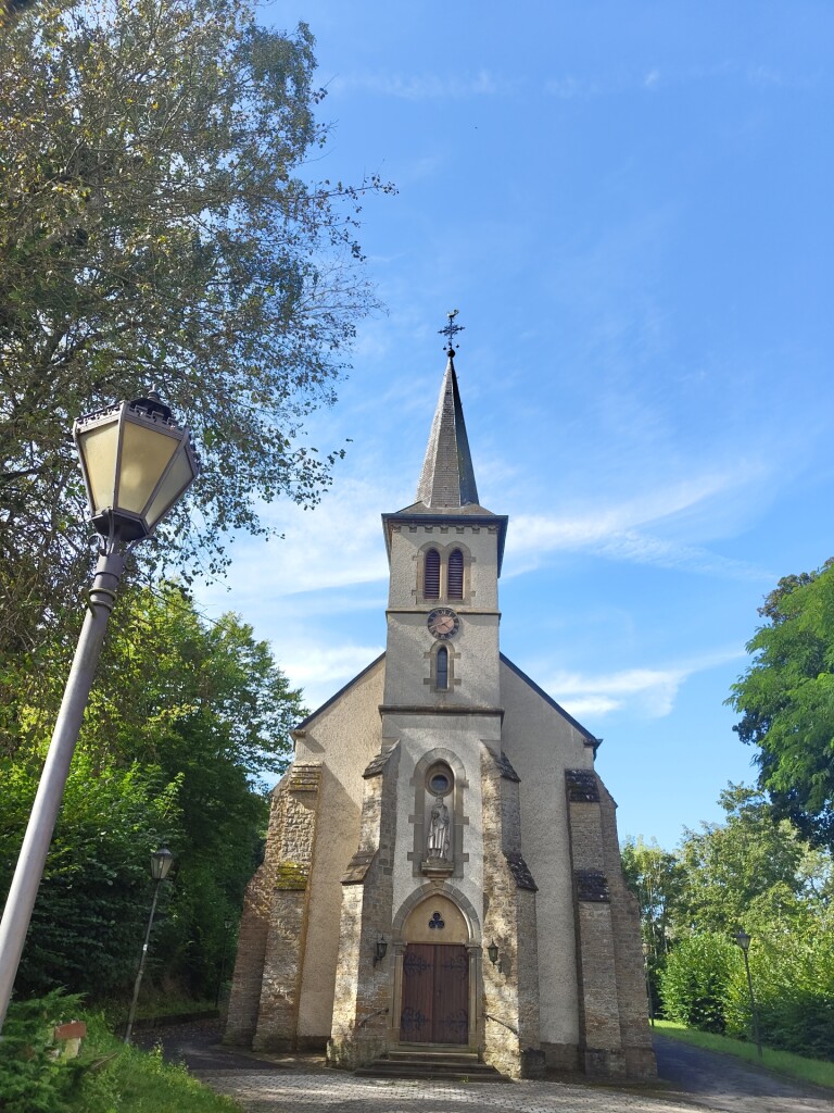
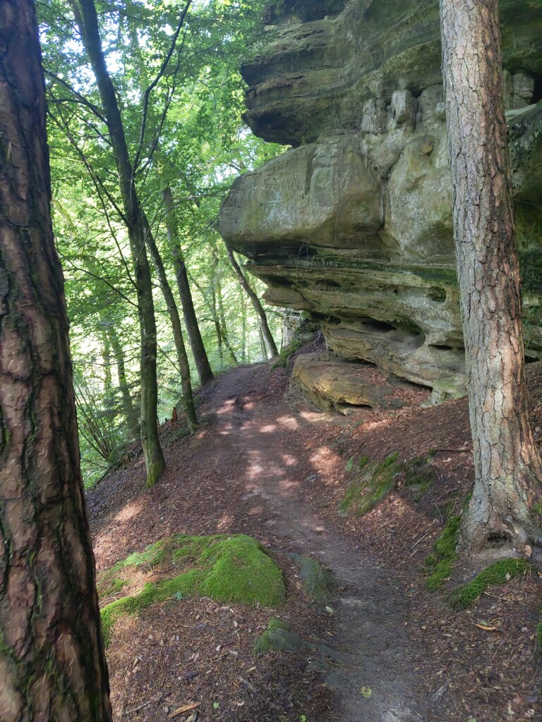
#6. Hersberg - Scheidgen · Mullerthal Trail etappe 12
Consdorf,Bech
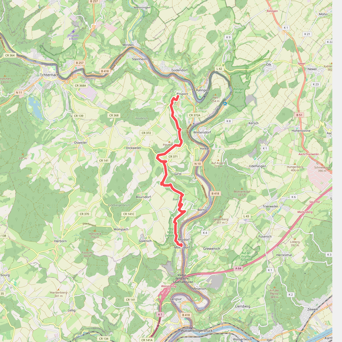
#7. Rosport - Moersdorf · Mullerthal Trail etappe 2
Rosport-Mompach
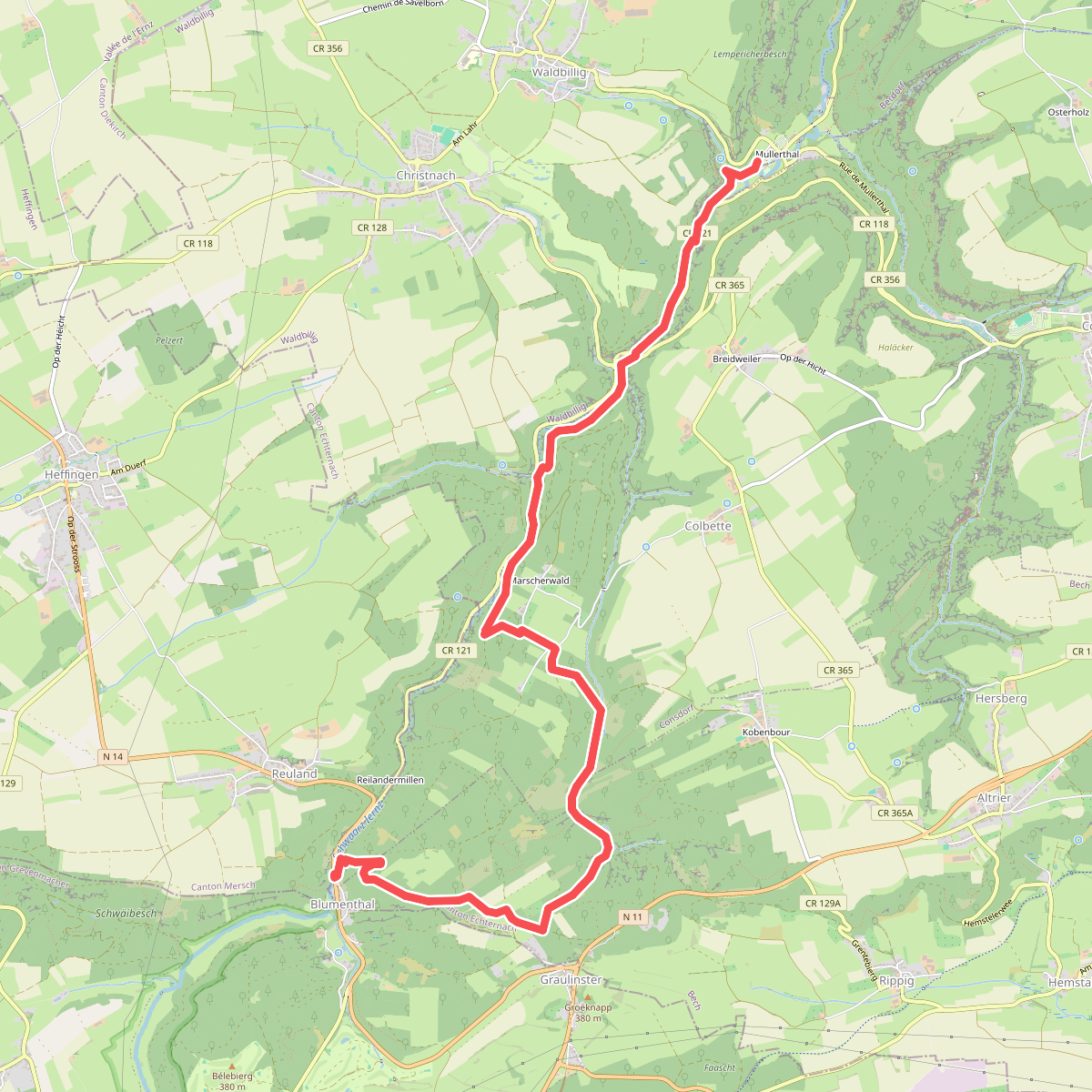
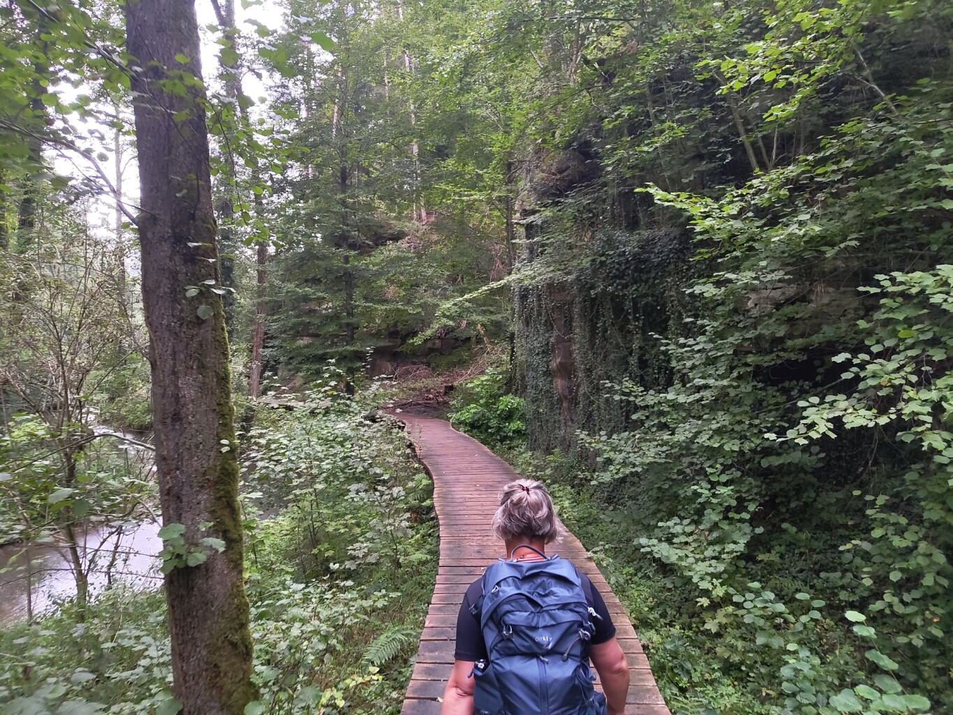
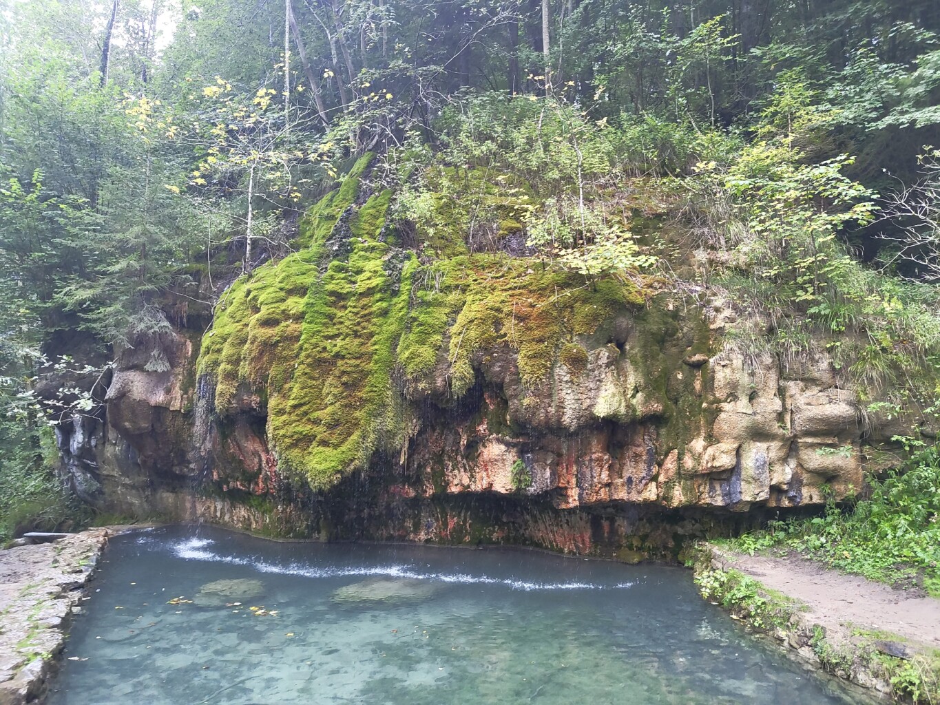
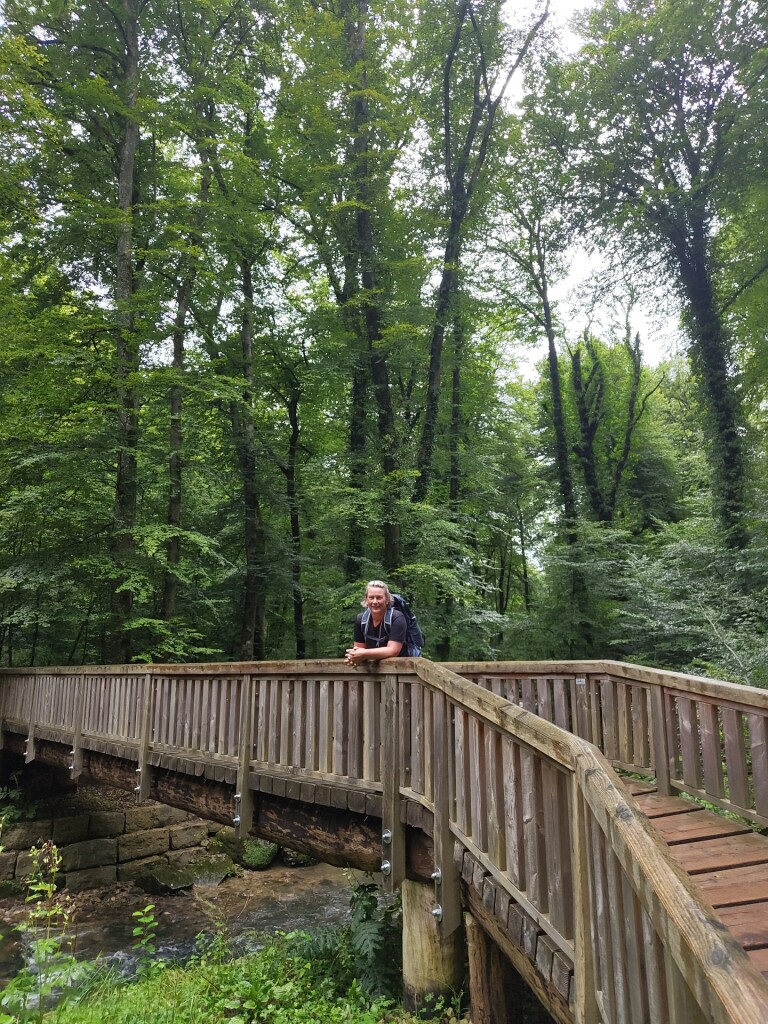
#8. Mullerthal - Blumenthal · Mullerthal Trail etappe 7
Waldbillig,Consdorf,Bech
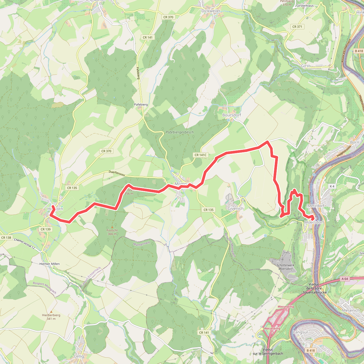
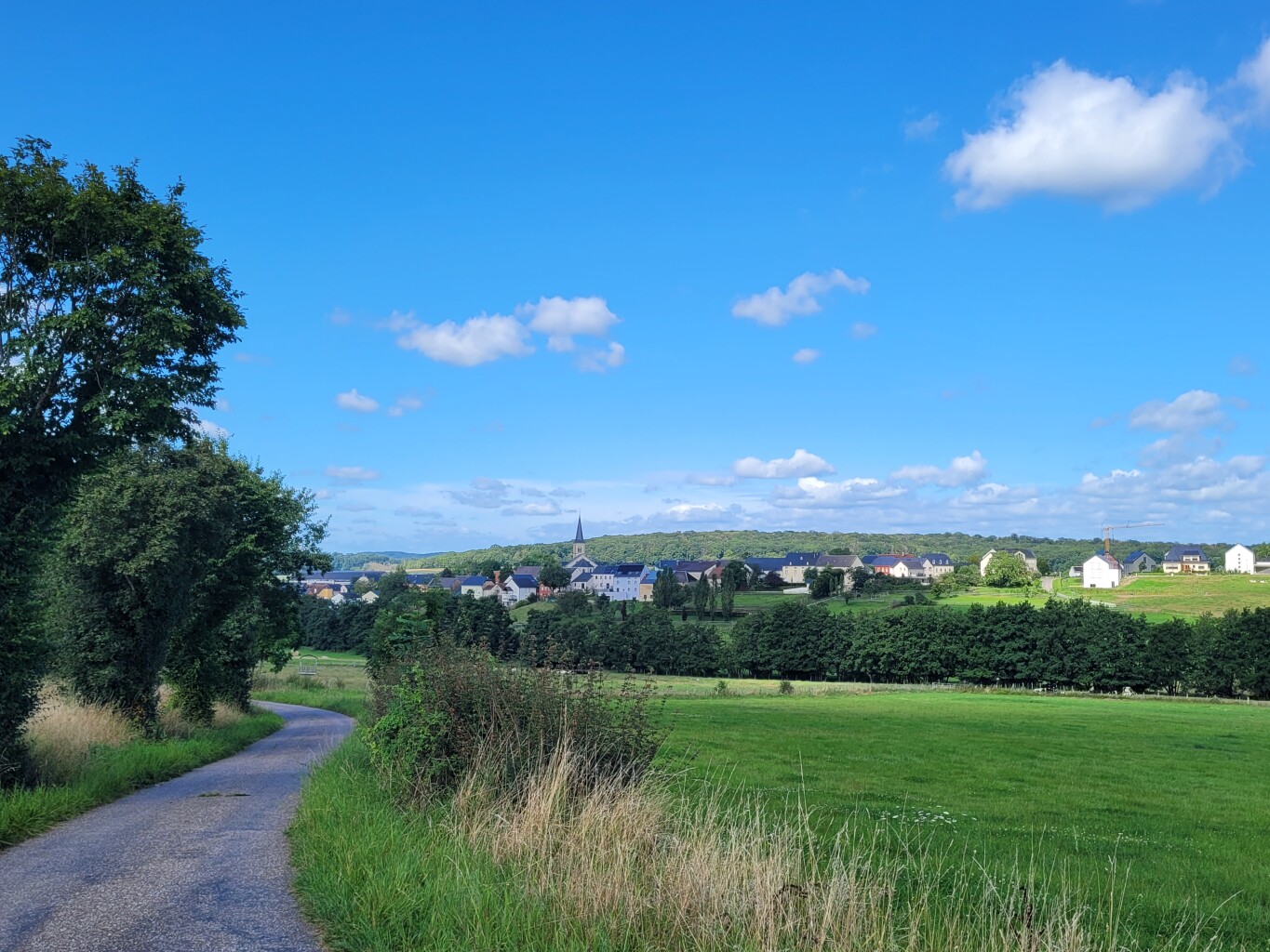
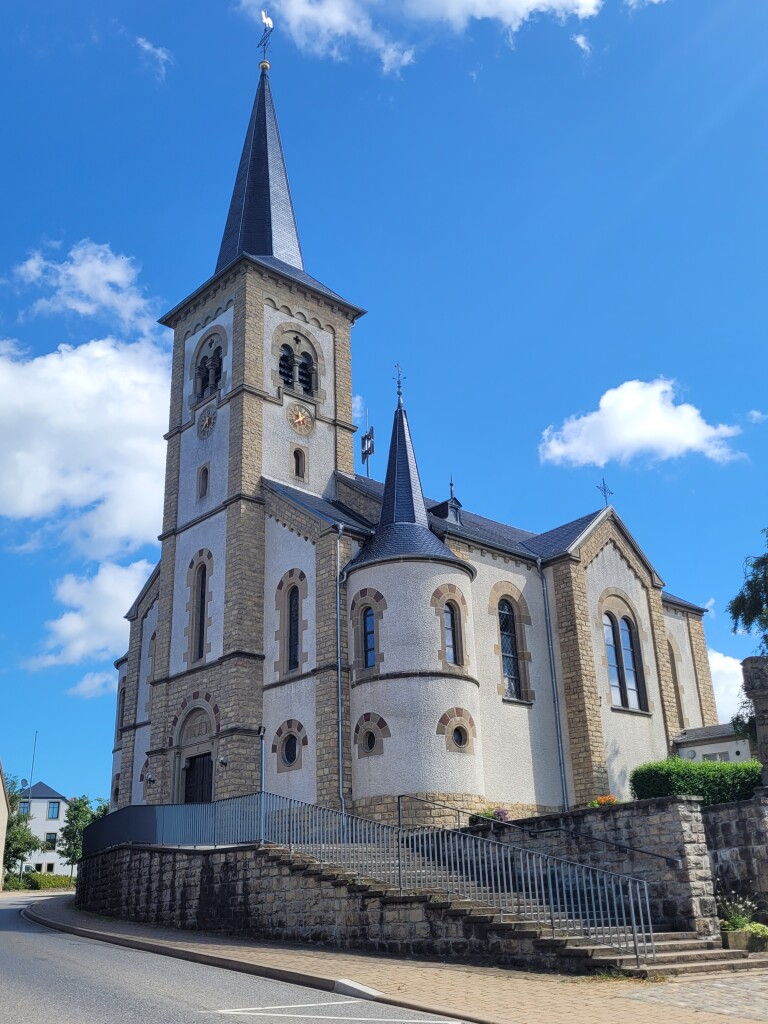
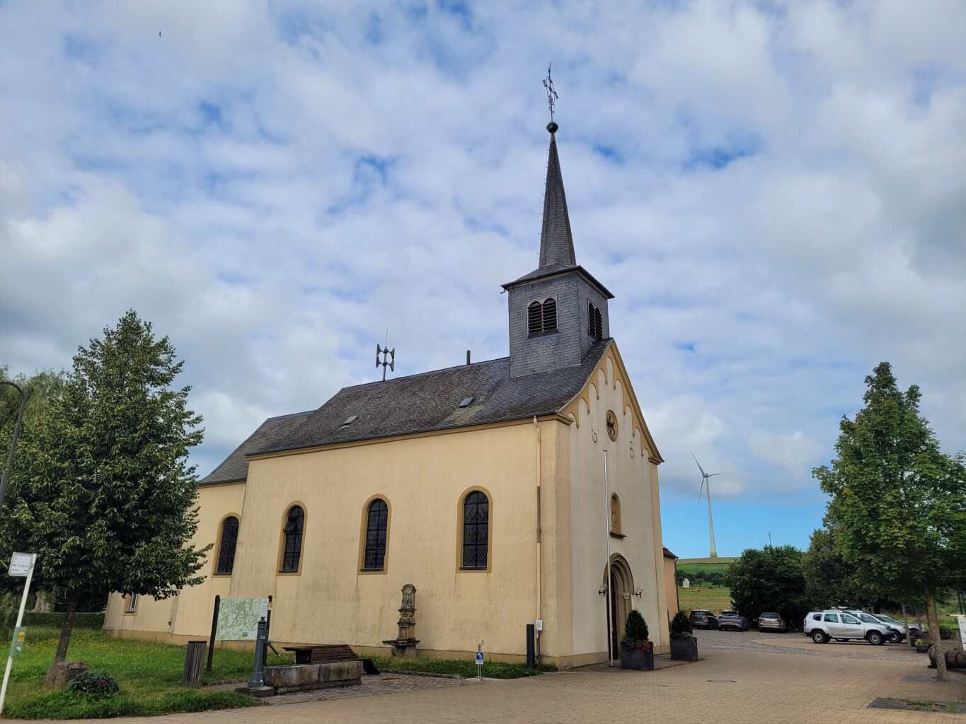
#9. Moersdorf - Herborn · Mullerthal Trail etappe 3
Rosport-Mompach
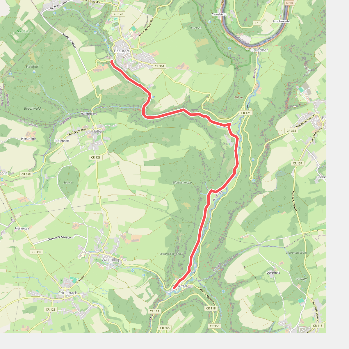

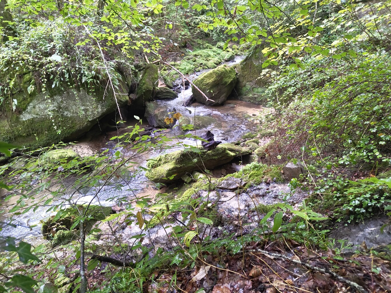
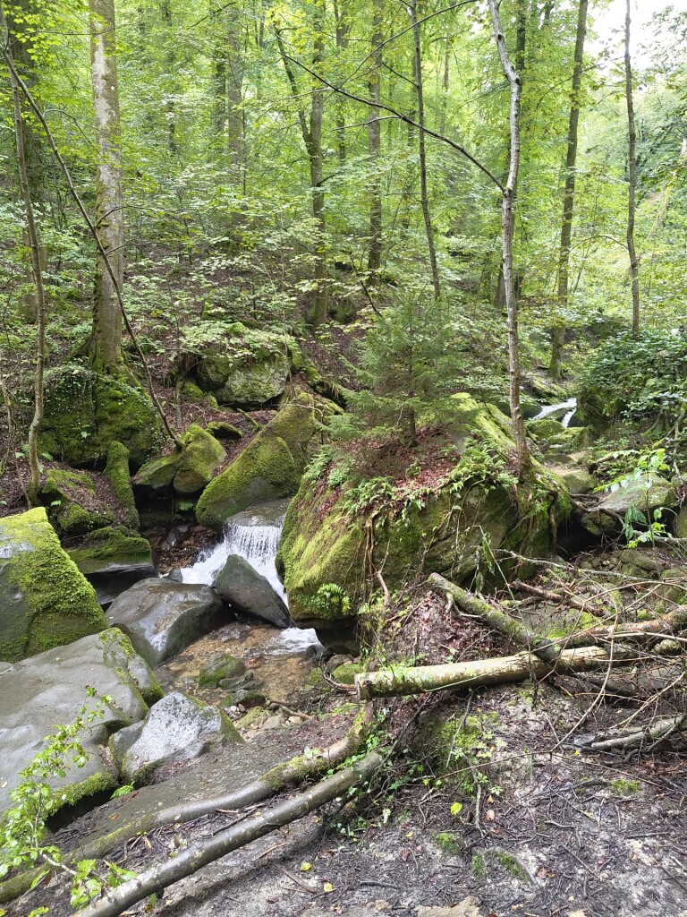
#10. Beaufort - Mullerthal · Mullerthal Trail etappe 10
Beaufort,Waldbillig
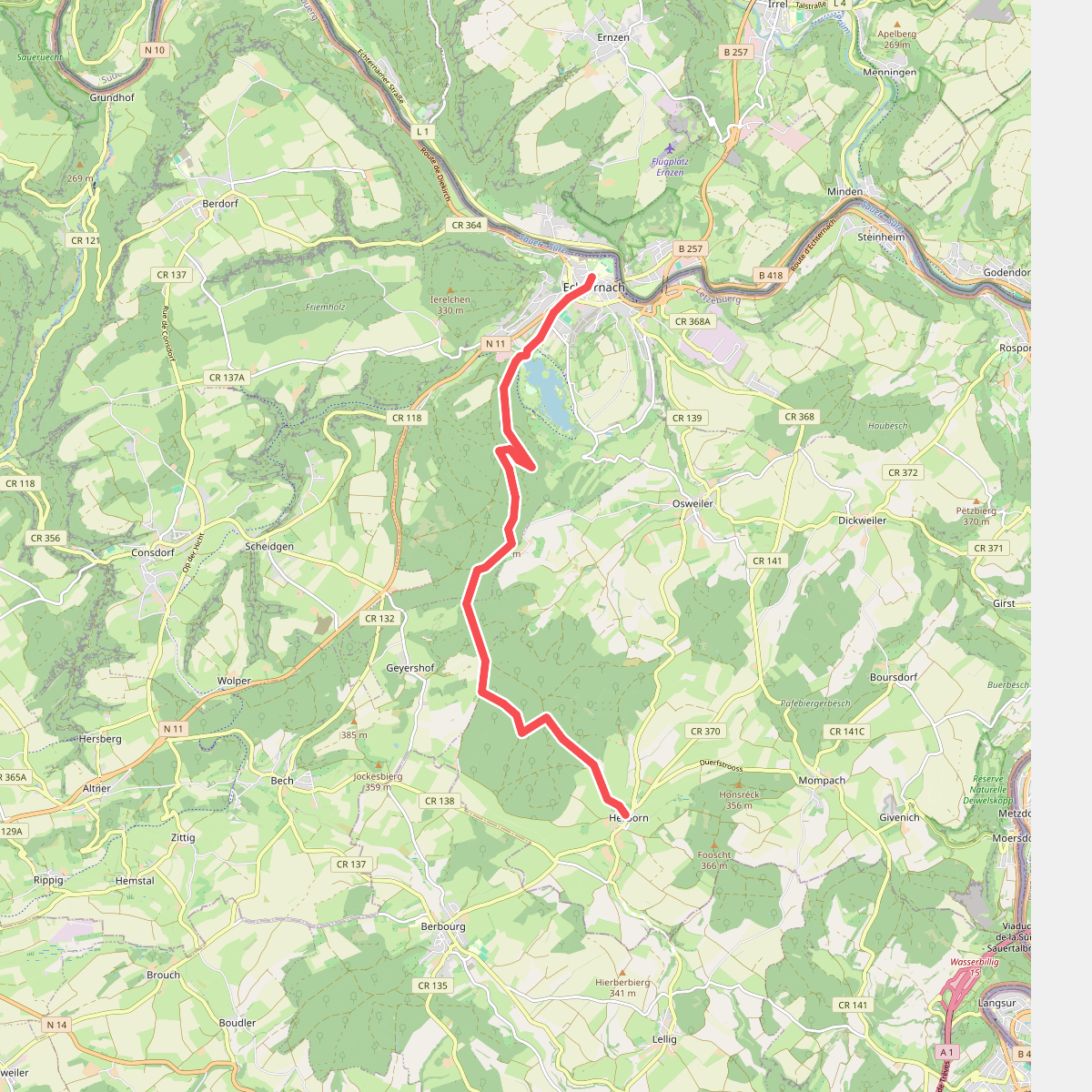
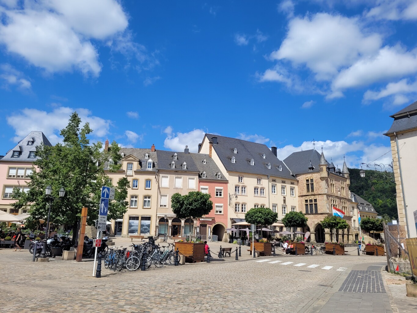
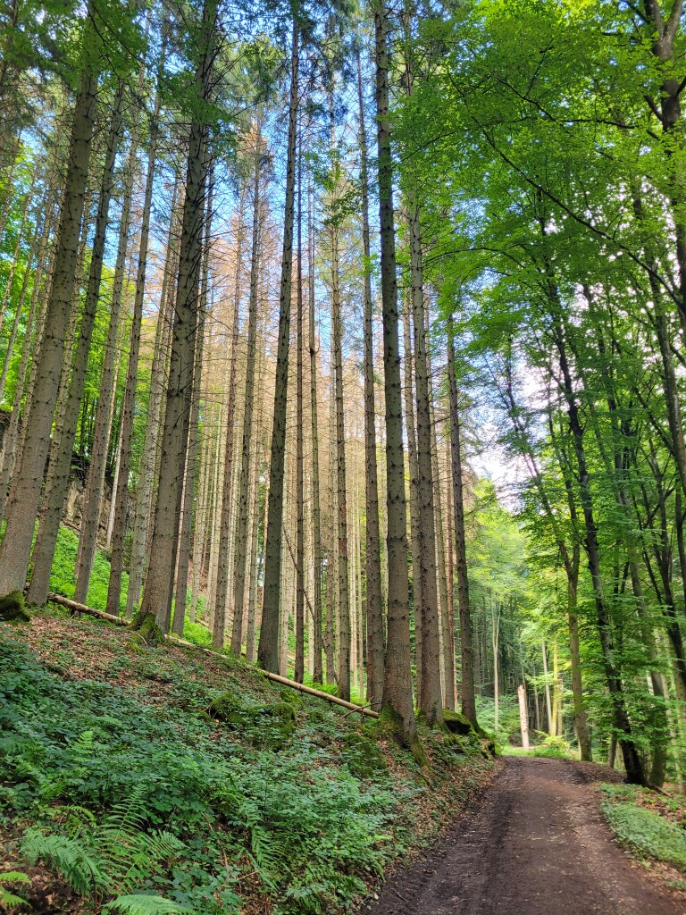
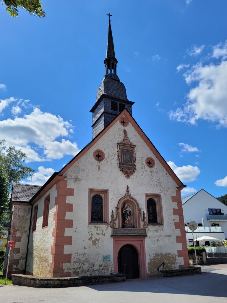
#11. Hernborn - Echternach · Mullerthal Trail etappe 4
Echternach,Bech,Rosport-Mompach
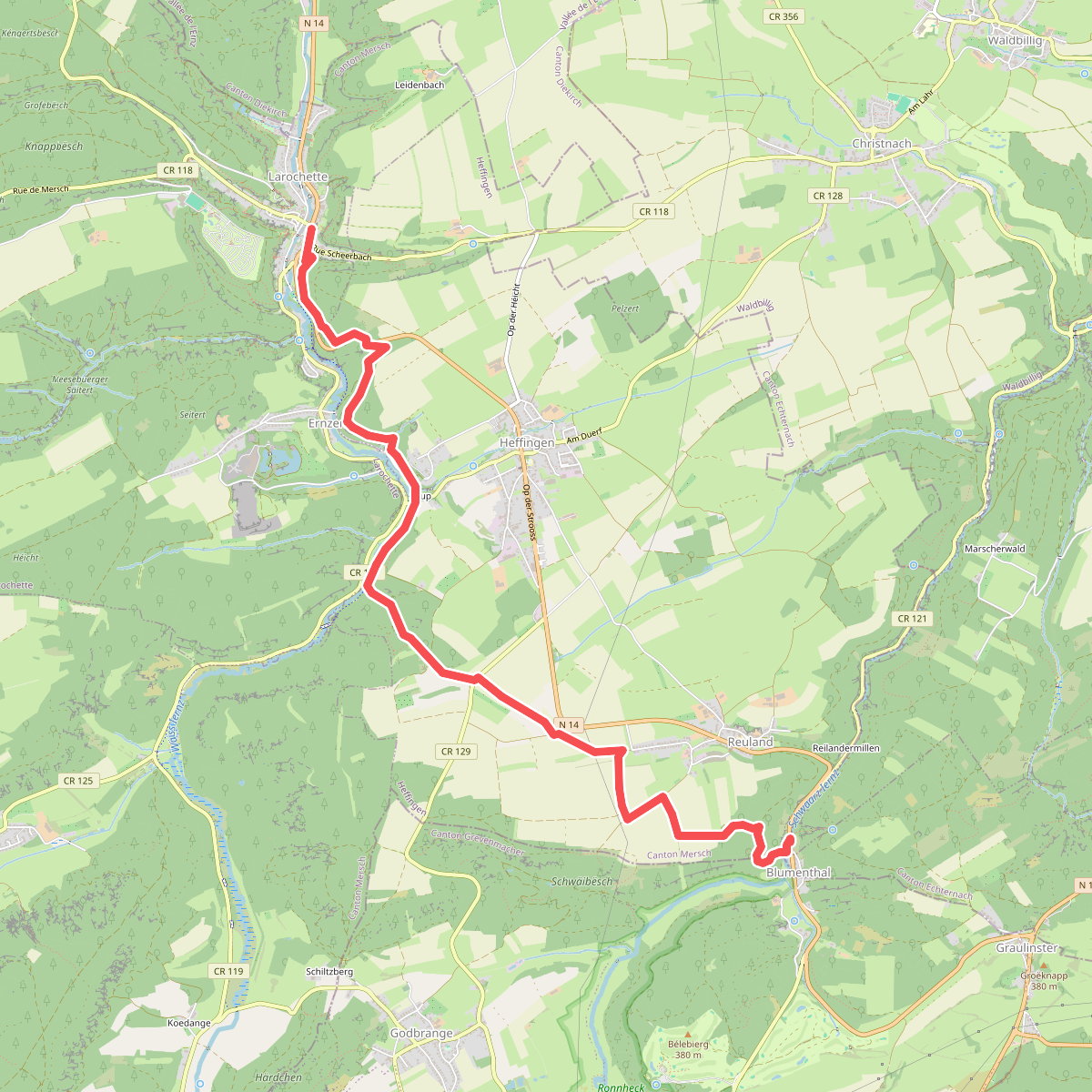
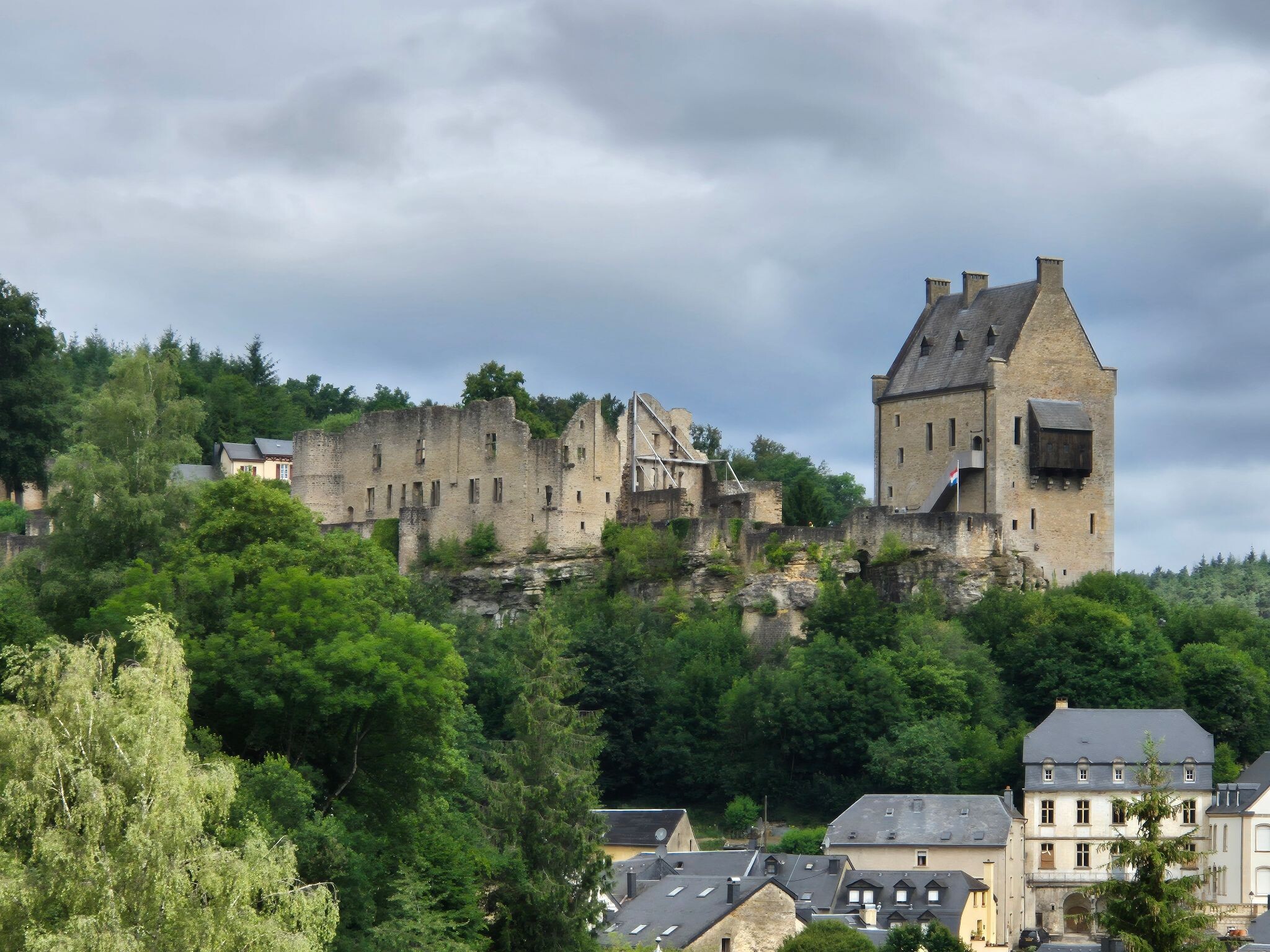
#12. Blumenthal - Larochette · Mullerthal Trail etappe 8
Bech,Heffingen,Larochette



