

The best hiking routes in Canton Diekirch
Discover the best walks in Canton Diekirch. 31 routes on the map, with descriptions, photos and GPX.
About Canton Diekirch
Canton Diekirch offers a transition between two distinct geological zones of Luxembourg. In the north, you climb onto the high, windswept plateau of the Eislek, where the paths are often wide agricultural tracks running between open fields and dense spruce plantations. In the south, the landscape drops into the softer, sandstone valleys of the Guttland, where walking trails follow narrow forested ravines and clay paths along the rivers. This is not a region of high alpine peaks, but rather one of deep river cuts and flat-topped ridges.
Read more
About Canton Diekirch
Canton Diekirch offers a transition between two distinct geological zones of Luxembourg. In the north, you climb onto the high, windswept plateau of the Eislek, where the paths are often wide agricultural tracks running between open fields and dense spruce plantations. In the south, the landscape drops into the softer, sandstone valleys of the Guttland, where walking trails follow narrow forested ravines and clay paths along the rivers. This is not a region of high alpine peaks, but rather one of deep river cuts and flat-topped ridges.
Read moreCanton Diekirch offers a transition between two distinct geological zones of Luxembourg. In the north, you climb onto the high, windswept plateau of the Eislek, where the paths are often wide agricultural tracks running between open fields and dense spruce plantations. In the south, the landscape drops into the softer, sandstone valleys of the Guttland, where walking trails follow narrow forested ravines and clay paths along the rivers. This is not a region of high alpine peaks, but rather one of deep river cuts and flat-topped ridges.
To the east, the Naturpark Südeifel spans the border area, characterized by dramatic sandstone rock formations, narrow crevices, and steep wooded slopes. Underfoot, the trails here alternate between sandy soil worn down from the cliffs and exposed tree roots that require careful stepping. In contrast, the central valleys near the town of Diekirch feature gentler riverside paths that are often paved or gravelled, making them much easier underfoot.
In November, the beech forests of the slopes drop their leaves, opening up views through the trees toward the river bends that are obscured during the summer. While the well-known rocky passages near the border can attract groups of walkers, the high agricultural tracks of the northern plateau remain quiet and empty of crowds throughout the year.
Nature areas in Canton Diekirch
Zoom or pan for more routes
Hiking routes in Canton Diekirch (31)
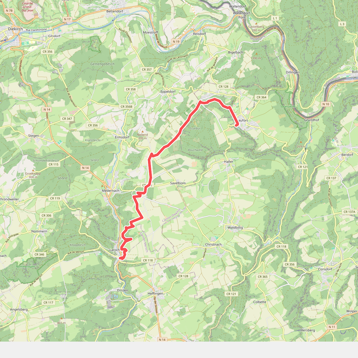
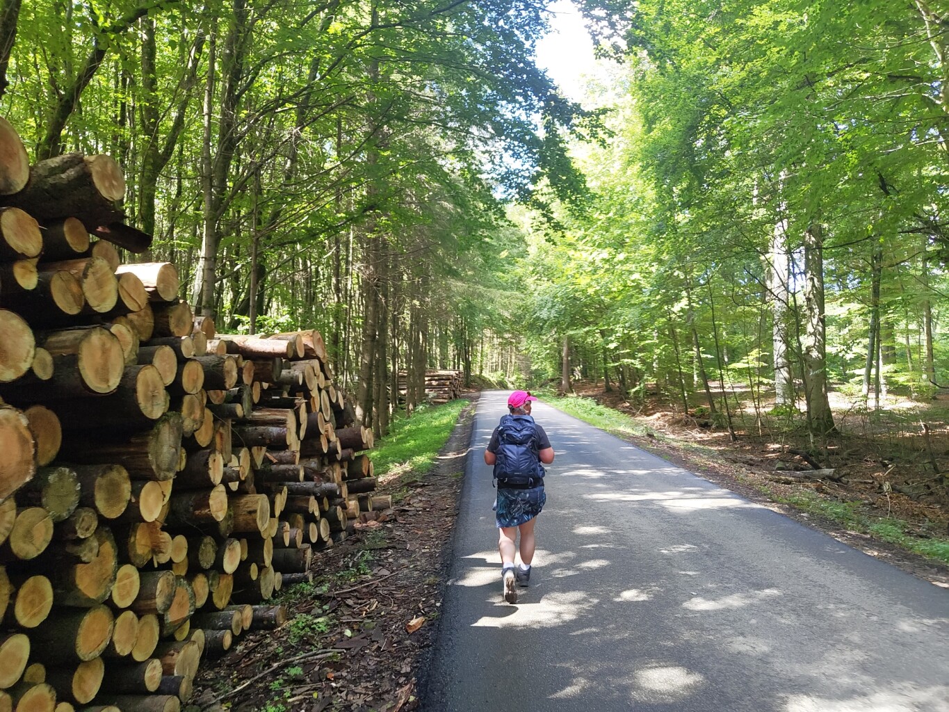
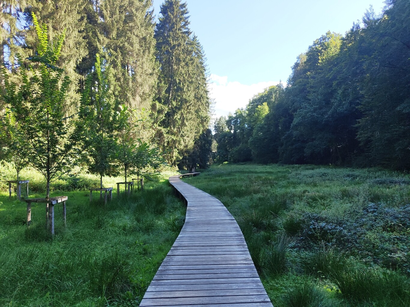
#1. Larochette - Beaufort · Mullerthal Trail etappe 9
Larochette,Vallée de l'Ernz,Beaufort
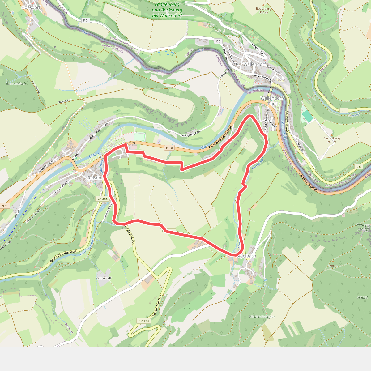
#2. Mullerthal R1
Reisdorf
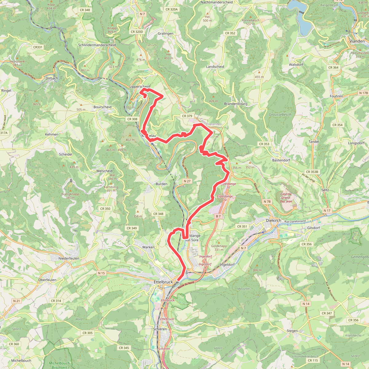
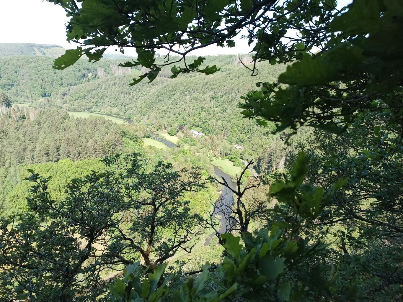
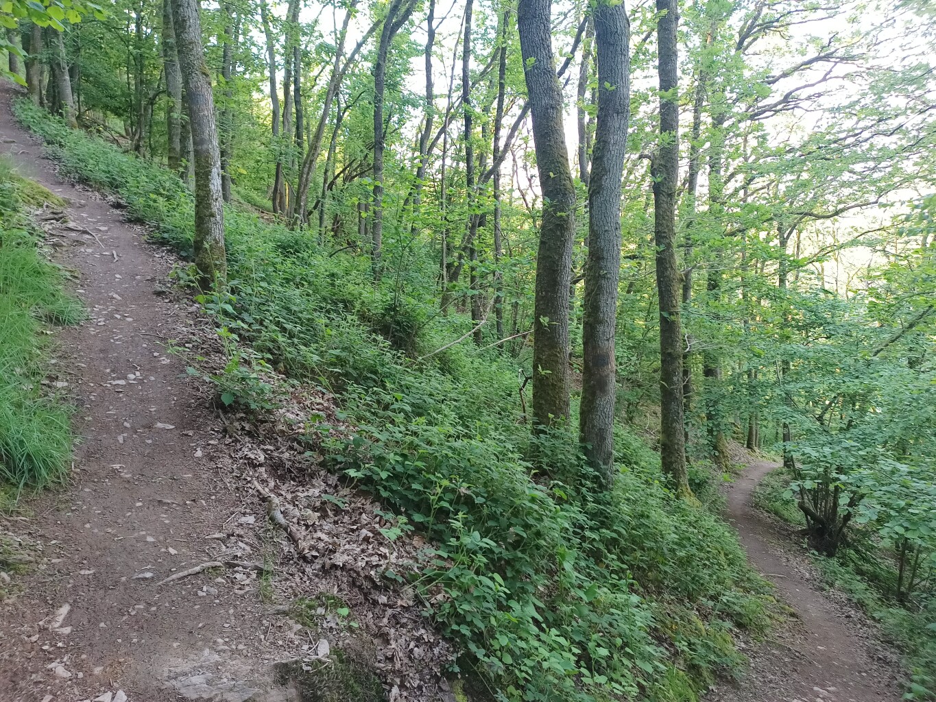
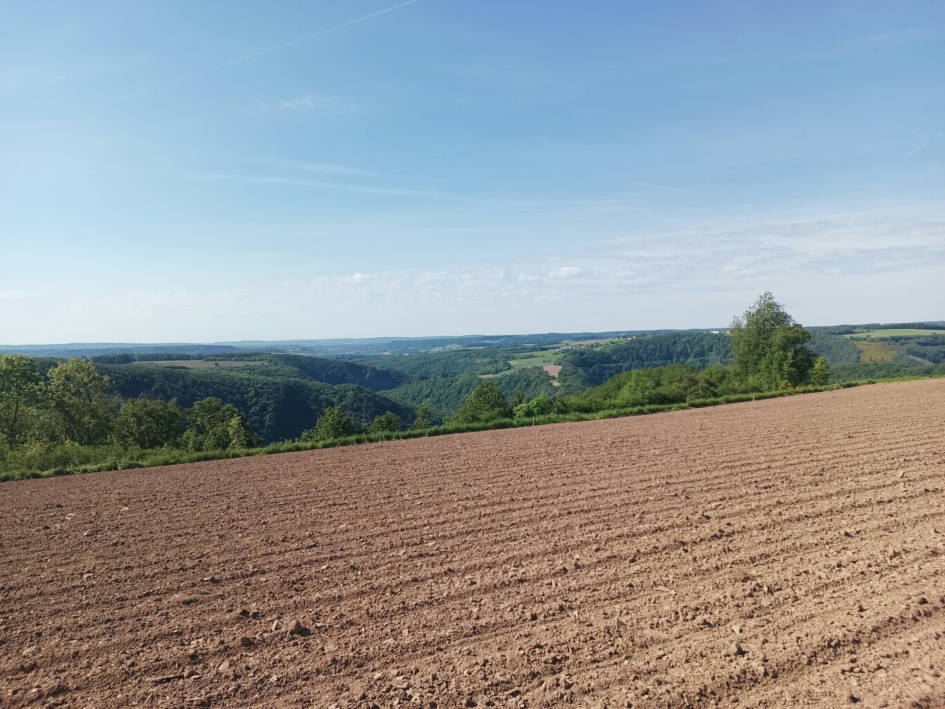
#3. Ettelbruck - Bourscheid · Escapardenne Lee Trail etappe 1
Ettelbruck,Erpeldange-sur-Sûre,Diekirch,Bourscheid
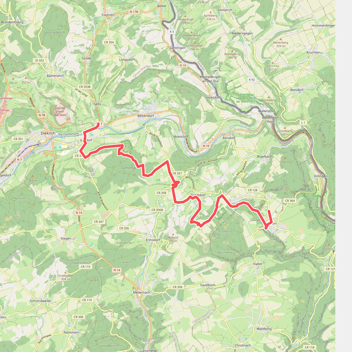
#4. Diekich - Beaufort · GR5 etappe 26
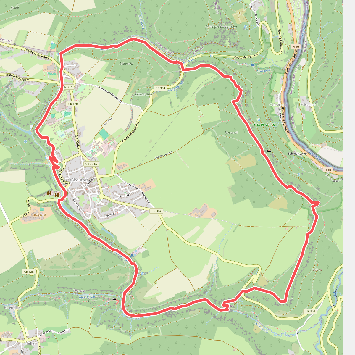
#5. Mullerthal B1
Beaufort,Waldbillig
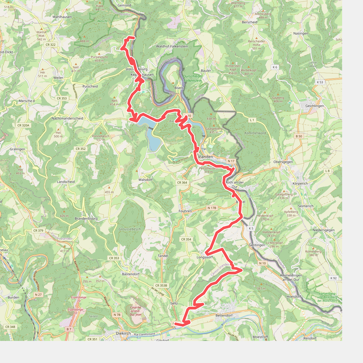
#6. Stolzembourg - Diekirch · GR5 etappe 25
Parc Hosingen,Putscheid,Vianden,Tandel,Bettendorf
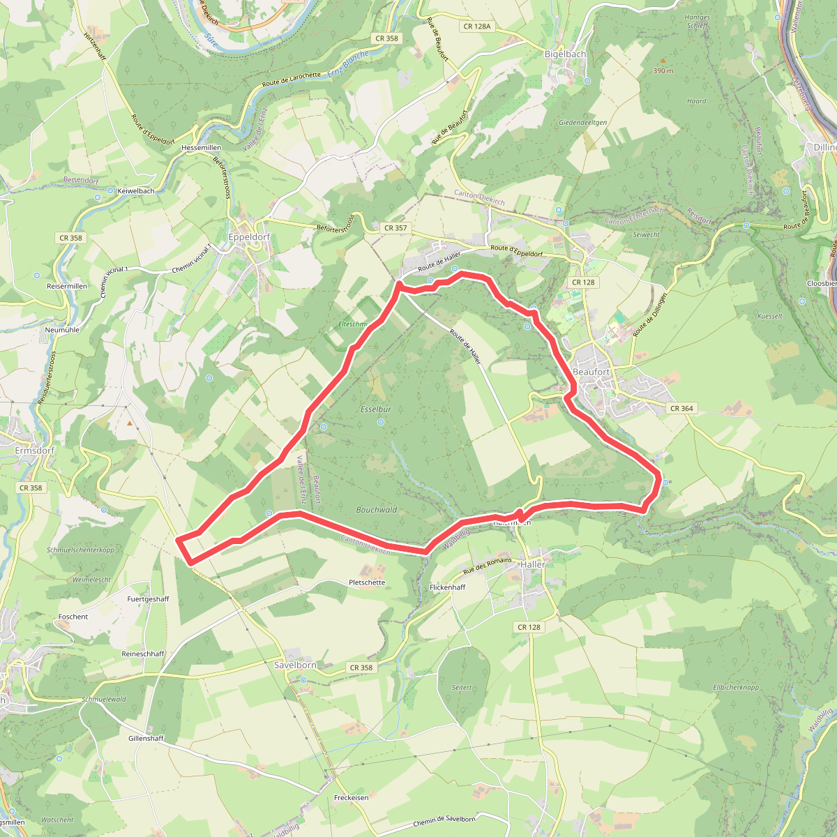
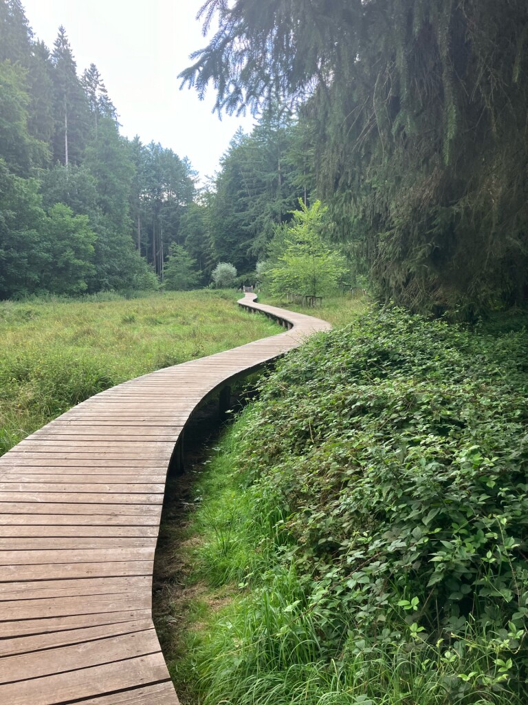
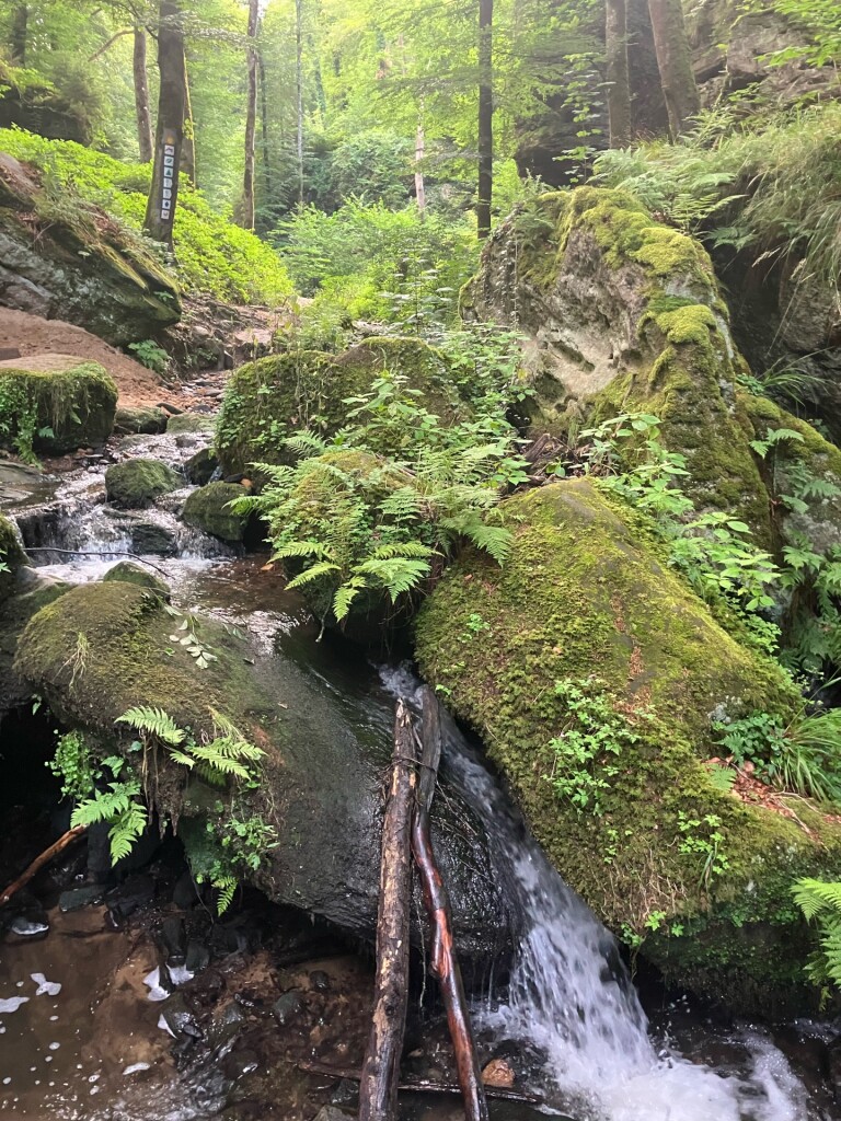
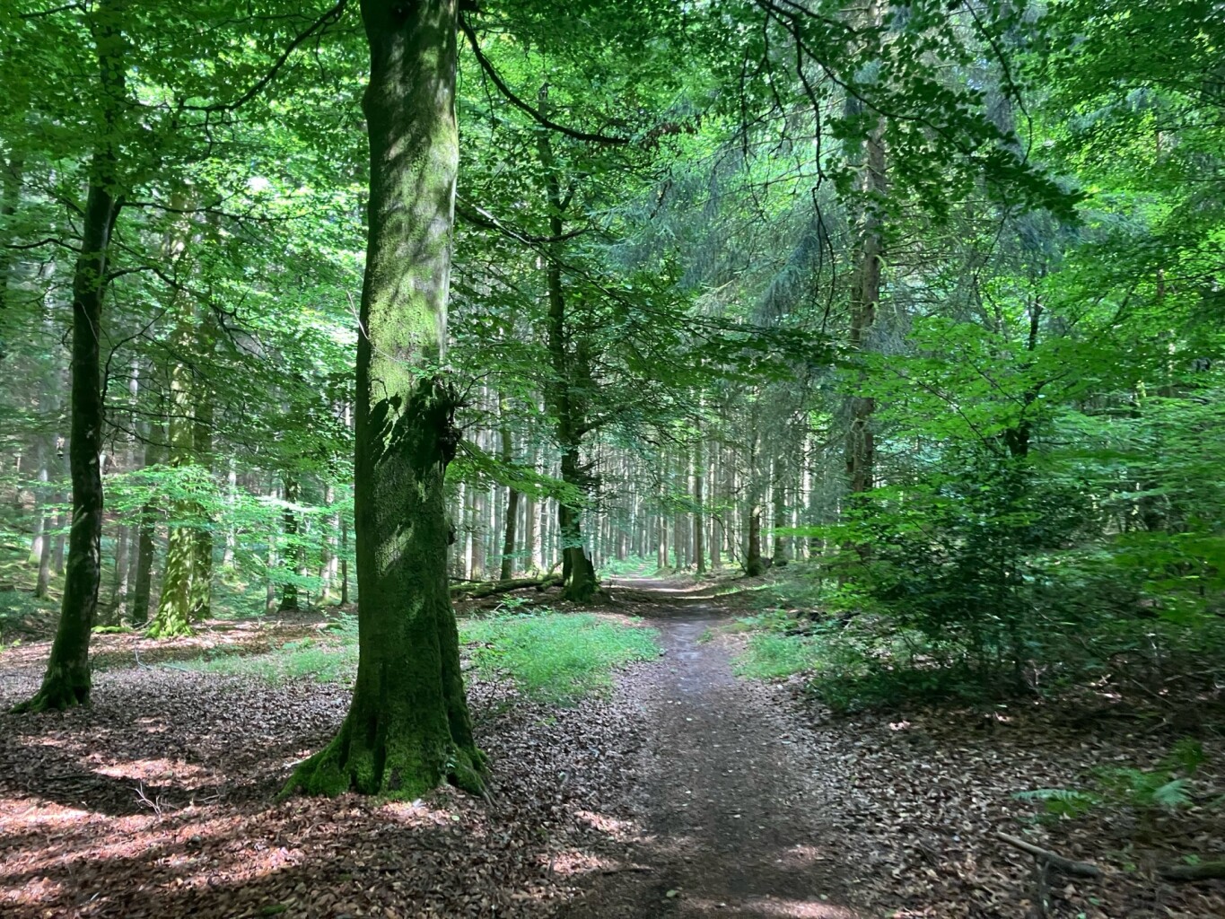
#7. Mullerthal B7
Beaufort,Vallée de l'Ernz
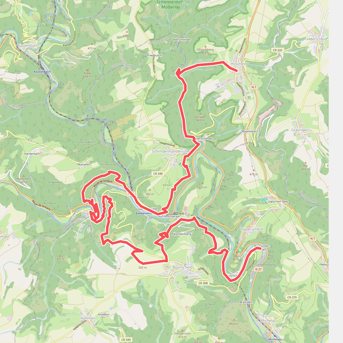
#8. Bourscheid - Hoscheid · Escapardenne Lee Trail etappe 2
Bourscheid,Goesdorf,Parc Hosingen
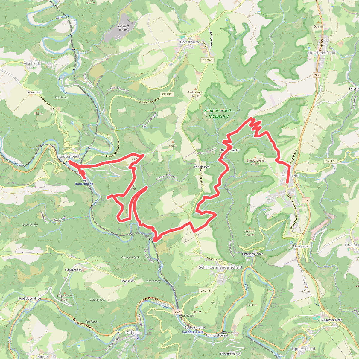
#9. Hoscheid - Kaurenbach · Escapardenne Lee Trail etappe 3
Parc Hosingen,Bourscheid,Kiischpelt
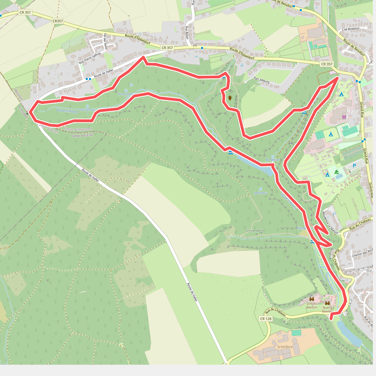
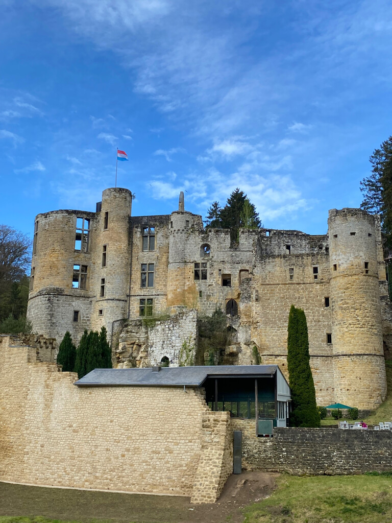
#10. Mullerthal B4
Beaufort
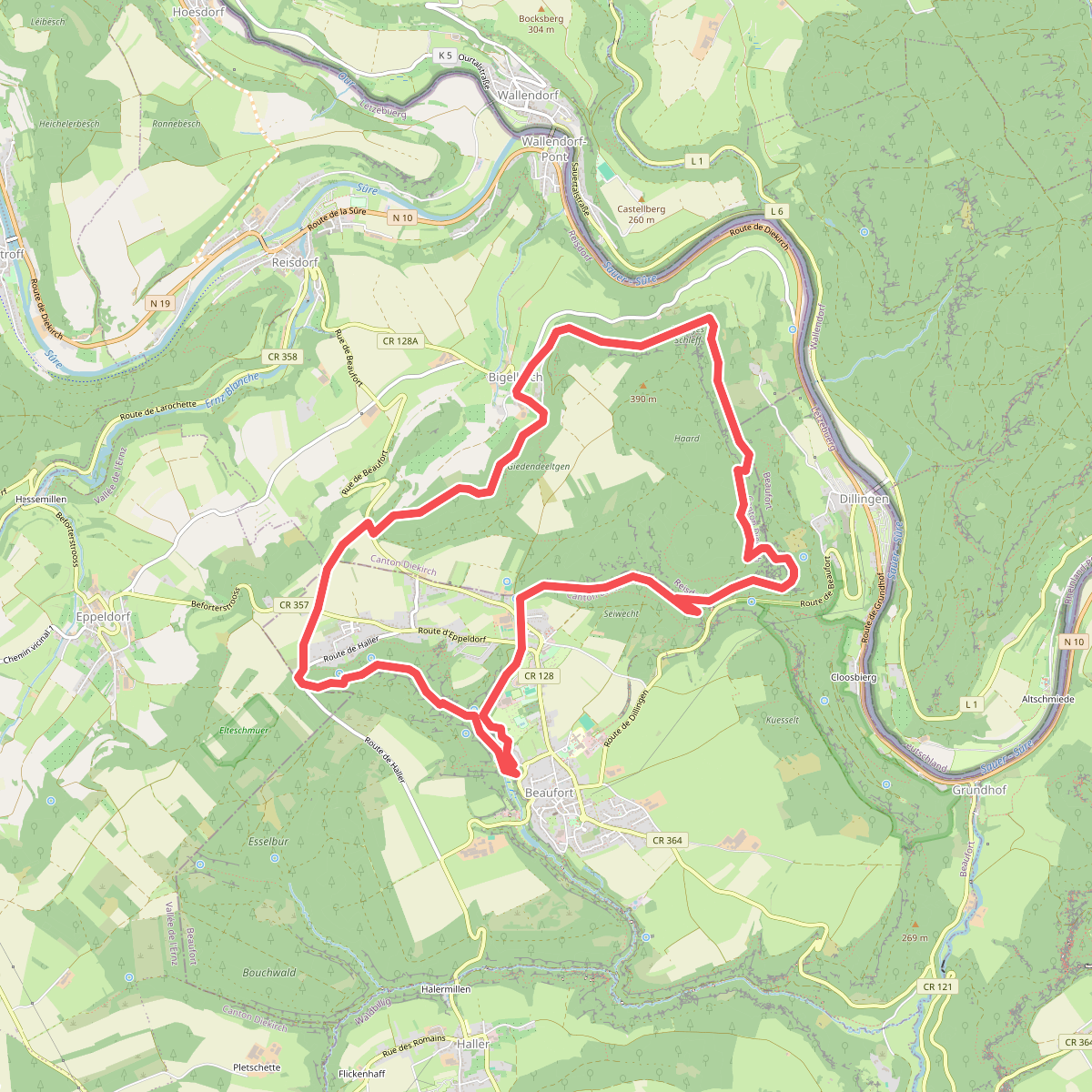
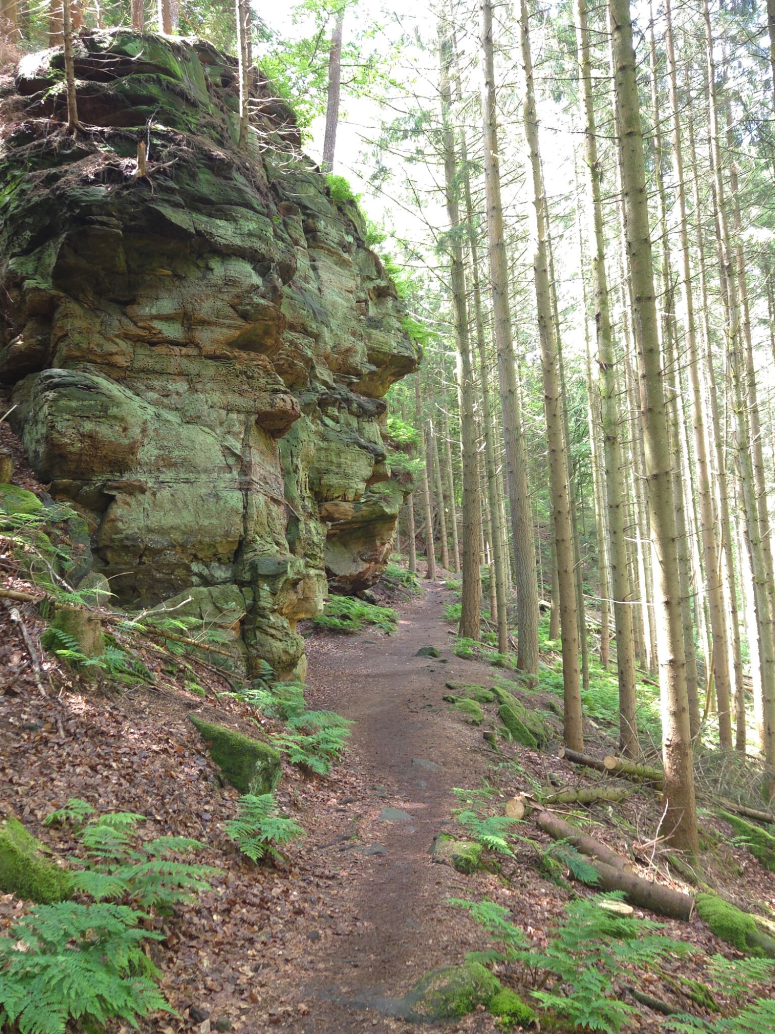
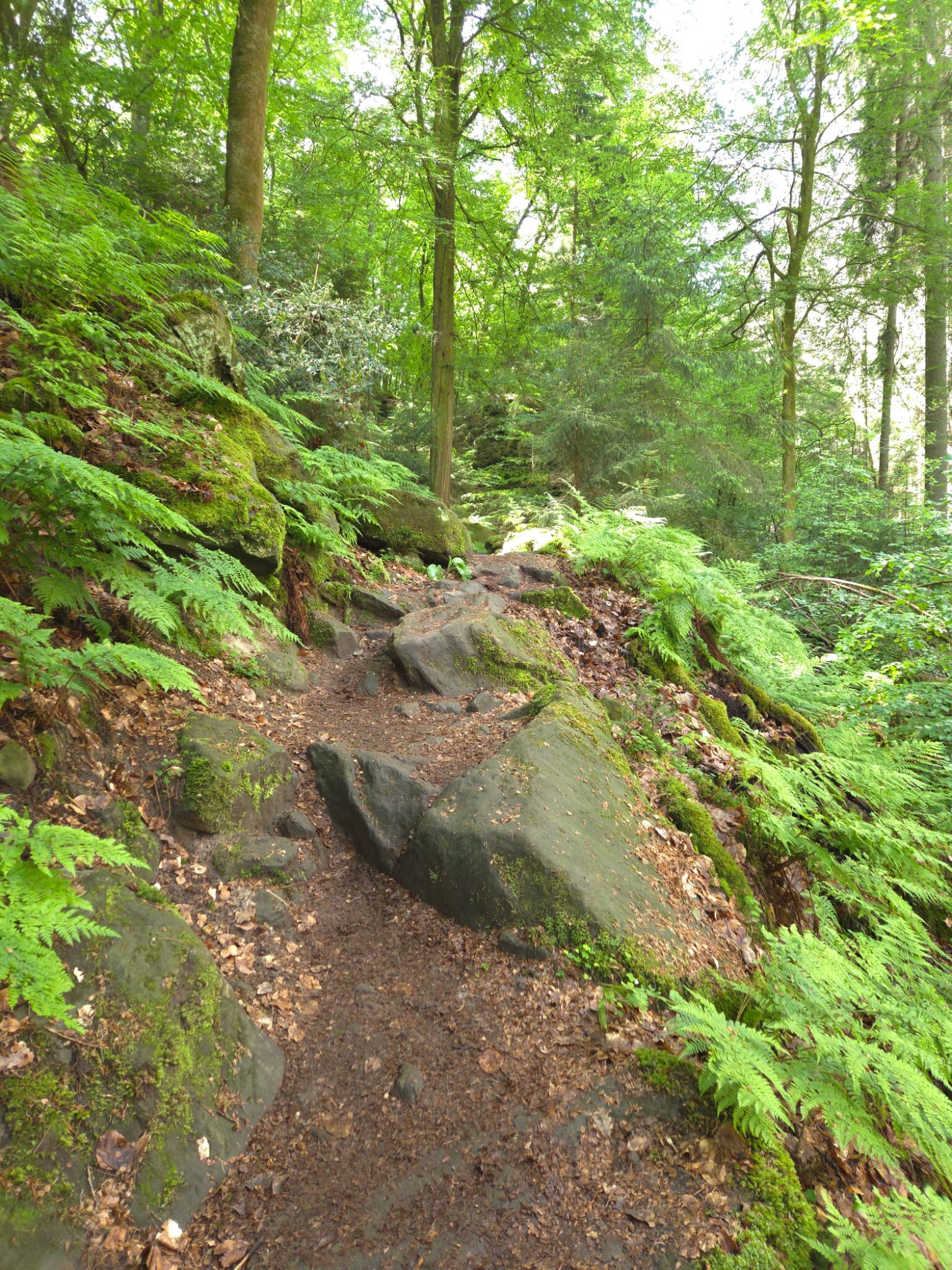
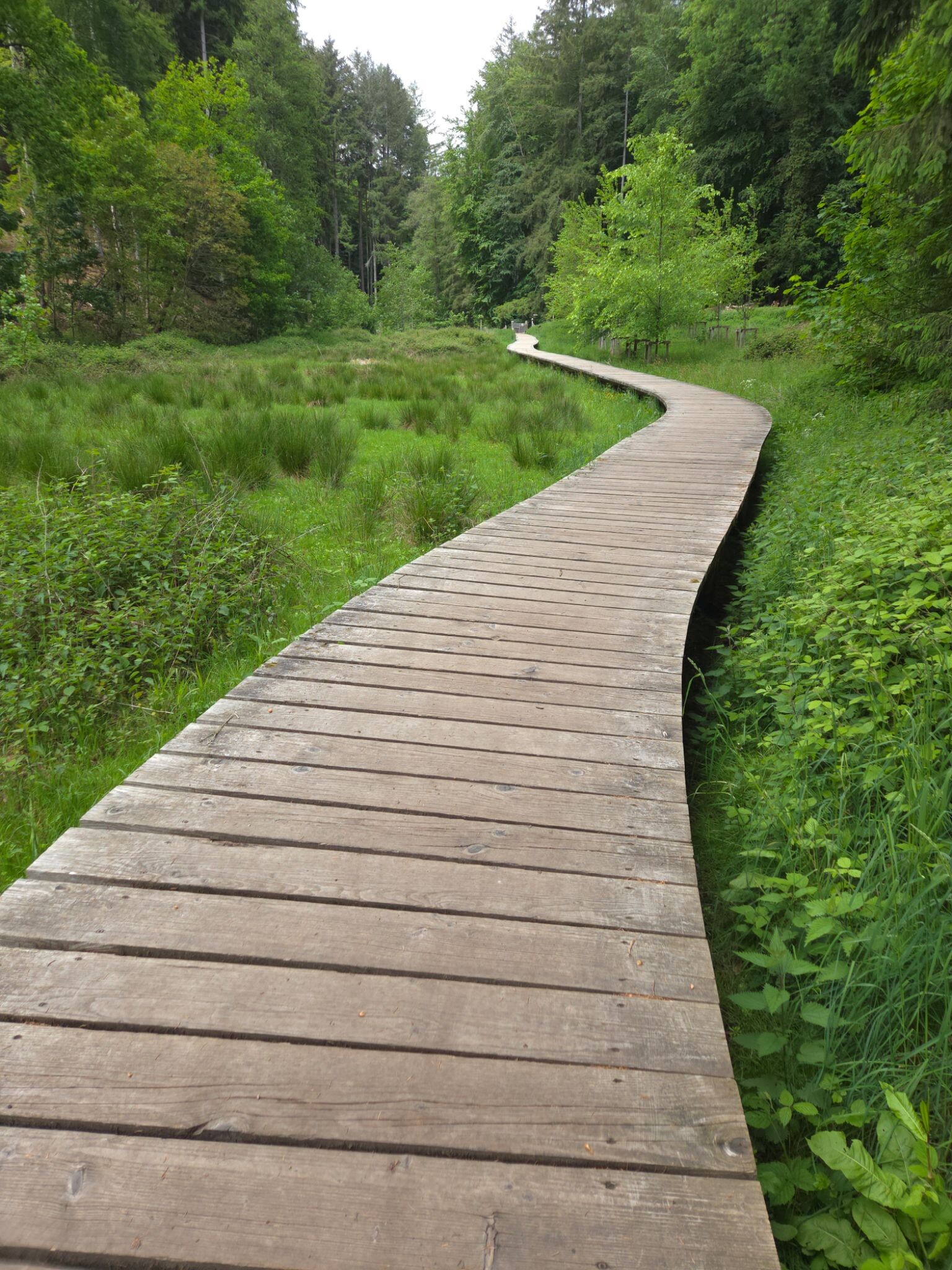
#11. Mullerthal extra tour B
Beaufort,Reisdorf
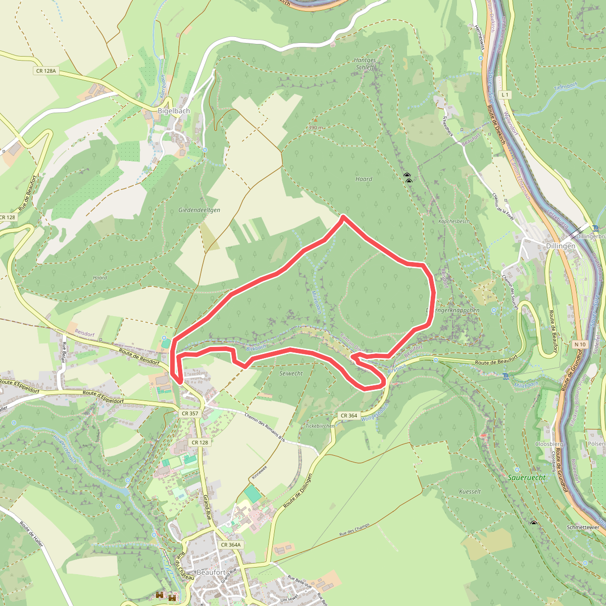
#12. Mullerthal B10
Beaufort,Reisdorf



