The best hiking routes in Blagoevgrad
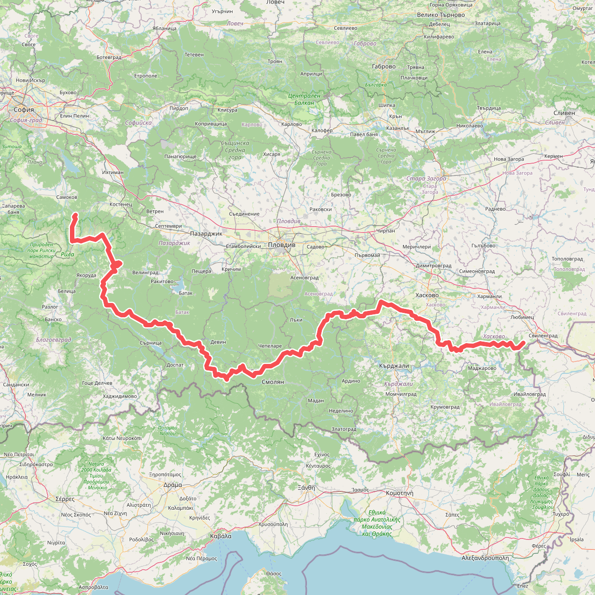
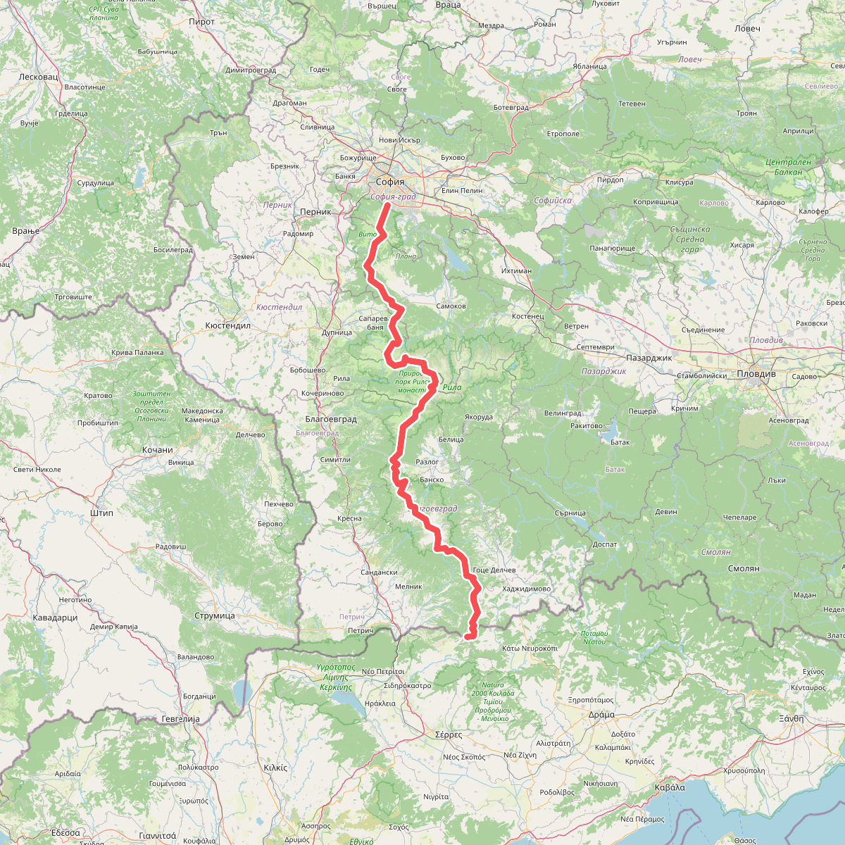
Discover the best walks in Blagoevgrad. 2 routes on the map, with descriptions, photos and GPX.
About Blagoevgrad
Благоевград serves as a gateway to two distinct high-mountain landscapes. To the north, Рила and the adjacent Природен парк Рилски манастир offer steep granite ridges, glacial lakes, and dense pine forests where paths are often rocky and demanding. In contrast, Пирин to the south presents a more jagged, limestone terrain with sharp crests that require careful foot placement on loose stone scree.
Read more
About Blagoevgrad
Благоевград serves as a gateway to two distinct high-mountain landscapes. To the north, Рила and the adjacent Природен парк Рилски манастир offer steep granite ridges, glacial lakes, and dense pine forests where paths are often rocky and demanding. In contrast, Пирин to the south presents a more jagged, limestone terrain with sharp crests that require careful foot placement on loose stone scree.
Read moreБлагоевград serves as a gateway to two distinct high-mountain landscapes. To the north, Рила and the adjacent Природен парк Рилски манастир offer steep granite ridges, glacial lakes, and dense pine forests where paths are often rocky and demanding. In contrast, Пирин to the south presents a more jagged, limestone terrain with sharp crests that require careful foot placement on loose stone scree.
For those seeking lower elevations and gentler terrain, the borderlands offer a different walking experience. Беласица features steep but heavily forested slopes with clay and leaf-litter paths under a thick canopy of beech and chestnut trees. In the drier, Mediterranean-influenced south, the protected area Кресна - Илинденци provides open, rocky trails through low shrubs and eroded clay formations, which feel significantly warmer and more exposed than the northern pine forests.
When choosing a route, expect rugged, uneven mountain tracks rather than flat, paved promenades. High-altitude paths in Рила are typically snow-covered until late May, while the lower valleys of Кресна - Илинденци remain accessible much earlier in the spring. The region does not offer gentle, rolling green hills; instead, walkers must choose between steep, forested climbs and exposed, rocky alpine ridges.
Nature areas in Blagoevgrad
Zoom or pan for more routes