

The best hiking routes in Bern
Discover the best walks in Bern. 566 routes on the map, with descriptions, photos and GPX.


About Bern
Bern is defined by its looping river, the Aare, which carves a deep sandstone gorge around the old town. For a walker, this topography means choosing between two distinct levels. The lower level follows the riverbanks on flat, paved paths and packed gravel, where the water is always in view and the sound of the current dominates. The upper level requires climbing steep, paved lanes or stone steps to reach the high ridges, where the terrain flattens out into residential promenades and open lawns.
Read more
About Bern
Bern is defined by its looping river, the Aare, which carves a deep sandstone gorge around the old town. For a walker, this topography means choosing between two distinct levels. The lower level follows the riverbanks on flat, paved paths and packed gravel, where the water is always in view and the sound of the current dominates. The upper level requires climbing steep, paved lanes or stone steps to reach the high ridges, where the terrain flattens out into residential promenades and open lawns.
Read moreBern is defined by its looping river, the Aare, which carves a deep sandstone gorge around the old town. For a walker, this topography means choosing between two distinct levels. The lower level follows the riverbanks on flat, paved paths and packed gravel, where the water is always in view and the sound of the current dominates. The upper level requires climbing steep, paved lanes or stone steps to reach the high ridges, where the terrain flattens out into residential promenades and open lawns.
On the lower paths, the walking is straightforward but hemmed in by the high wooded slopes of the gorge. You will notice how the city has built massive stone retaining walls directly into the cliffs to secure the streets above. This is not a place for wide, natural vistas; the views are intimate, focusing on the green river water, historic stone bridges, and the timber-framed houses lining the banks. Underfoot, the paths are mostly asphalt or hard-packed earth, designed for easy utility rather than rugged hiking.
Choosing the upper ridges, such as the high promenade of the Bundesterrasse, shifts the perspective entirely. Here, the walking is flat and paved, looking down onto the rooftops of the lower quarters and across the river bend. The landscape on these heights is orderly and urban, dominated by grand public buildings and manicured gravel terraces. It is a stark contrast to the shaded, damp environment of the riverbed below, offering a clear view of how the city adapted its layout to the dramatic bend of the river.
Zoom or pan for more routes
Hiking routes in Bern (566)
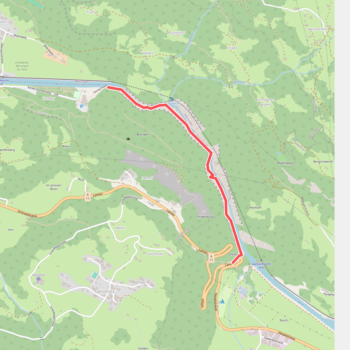
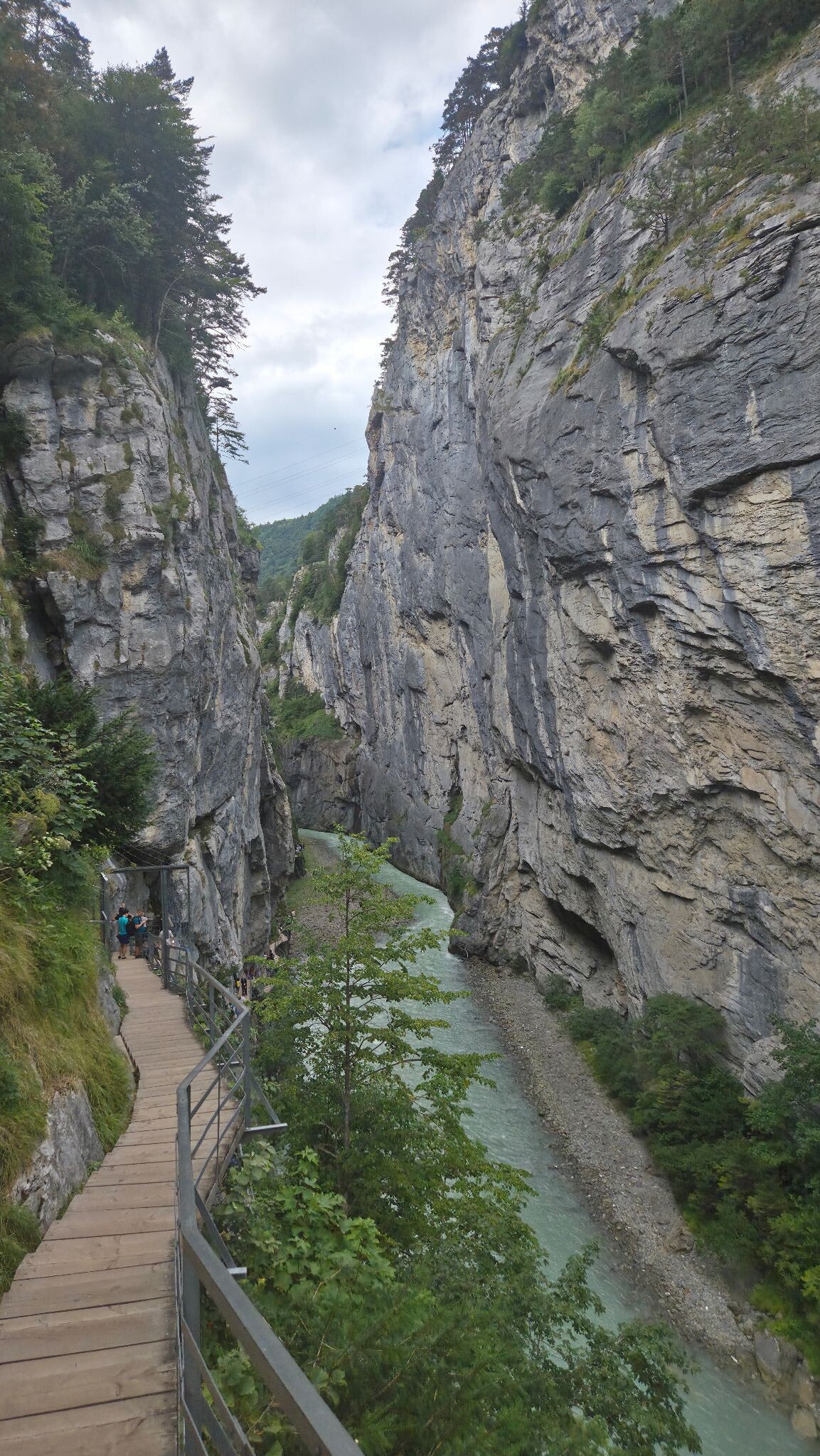
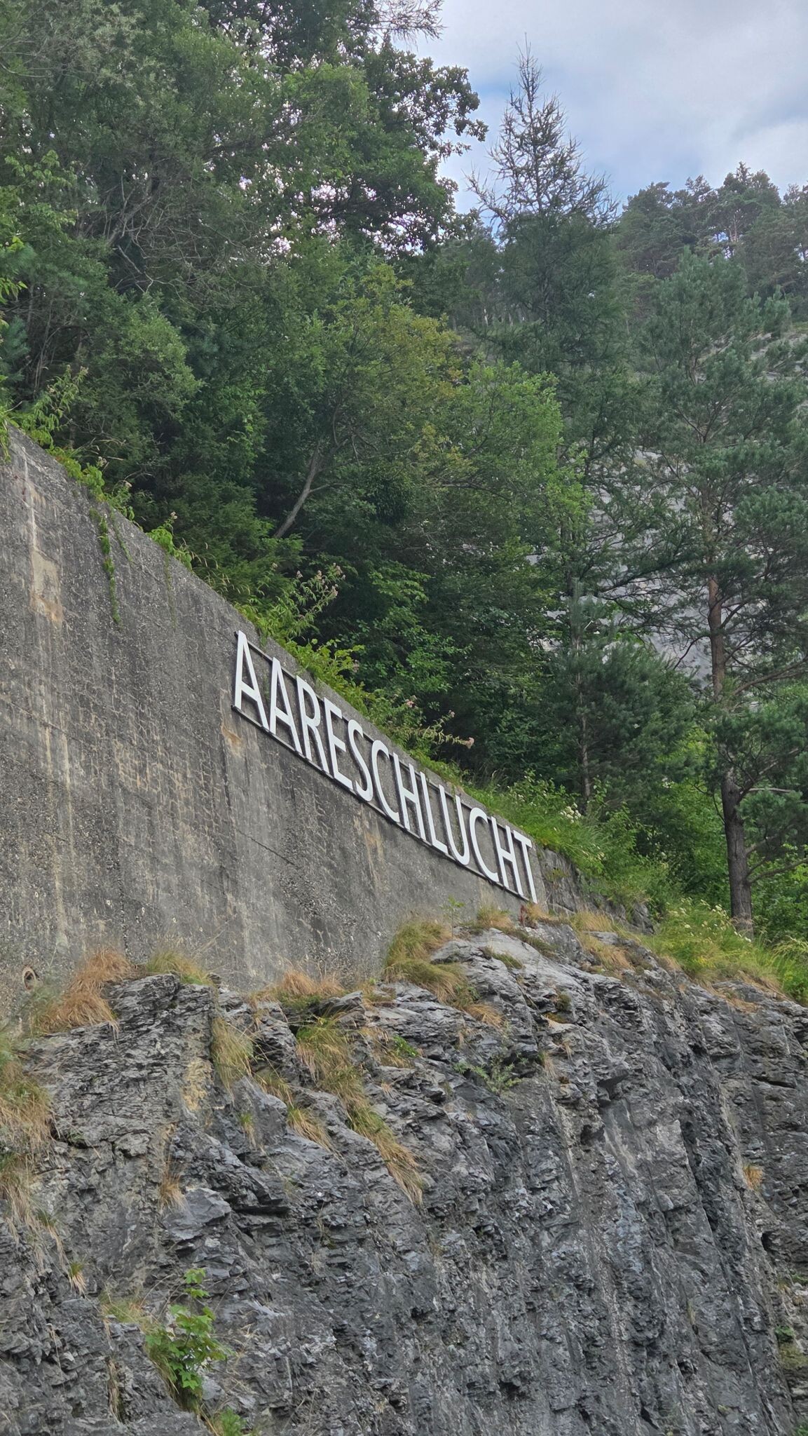
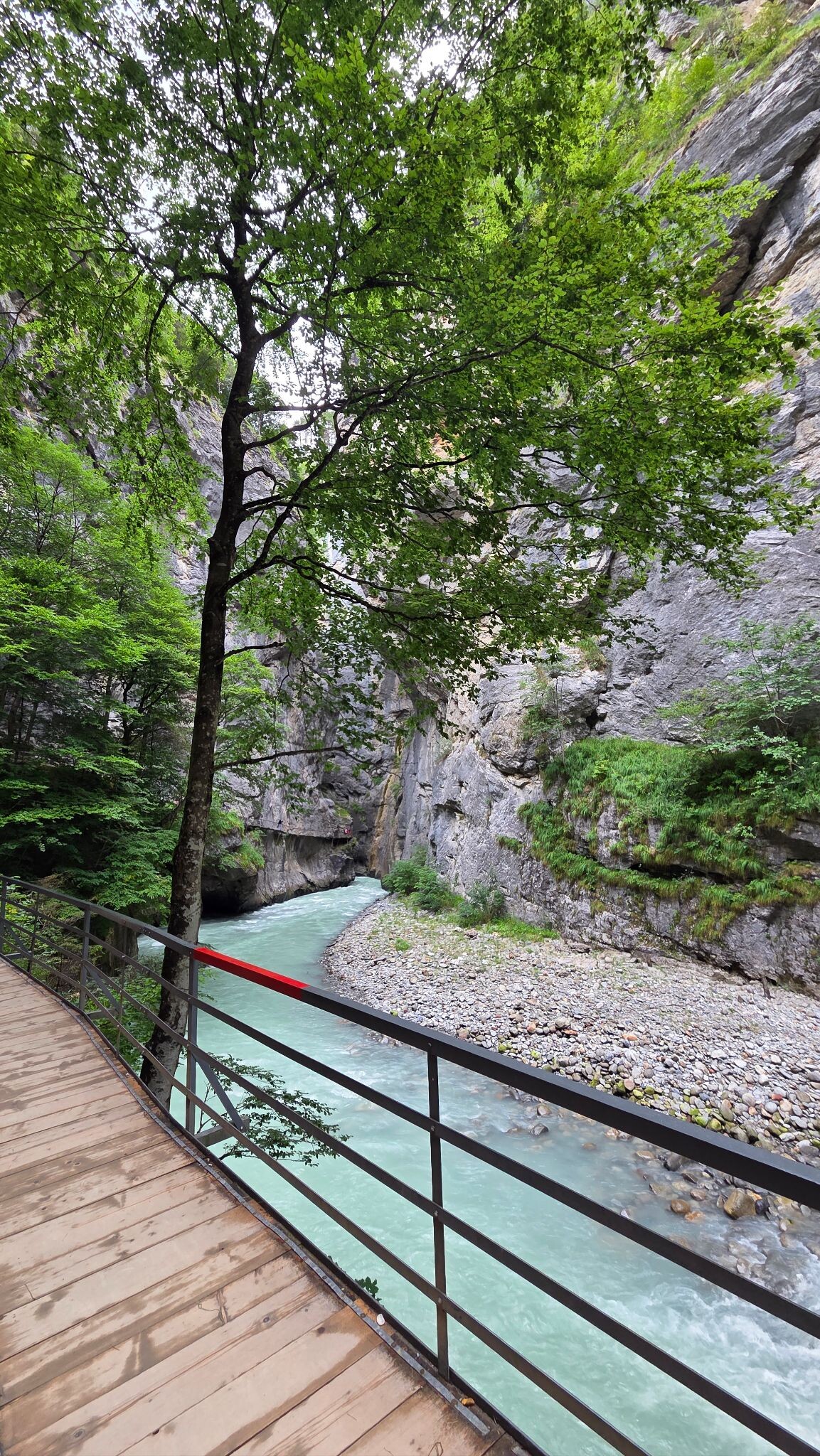
#1. Aareschlucht
Innertkirchen
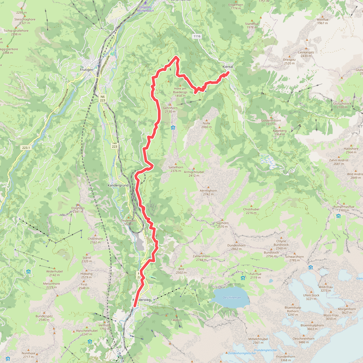
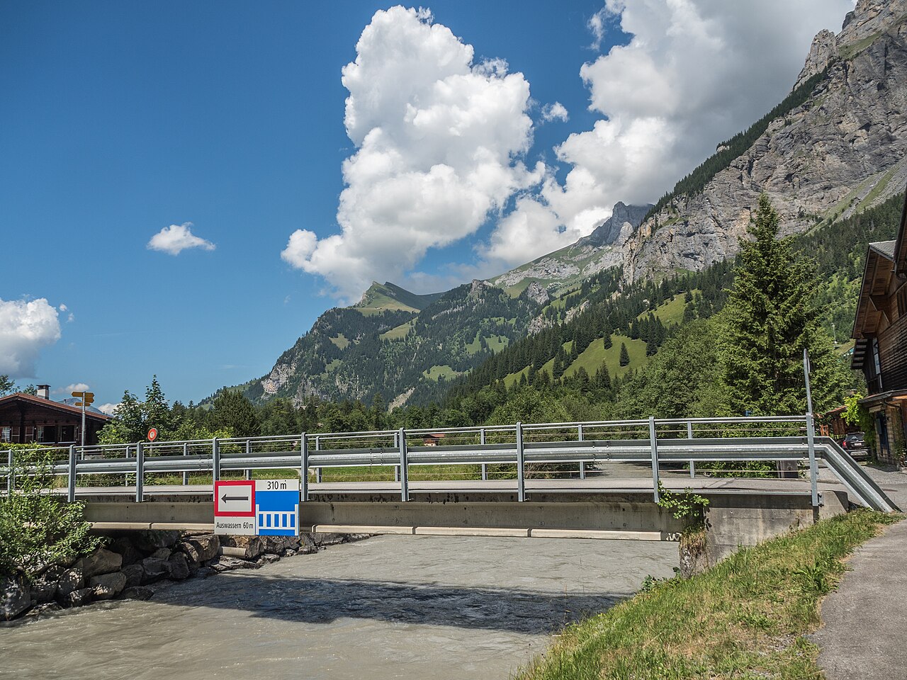
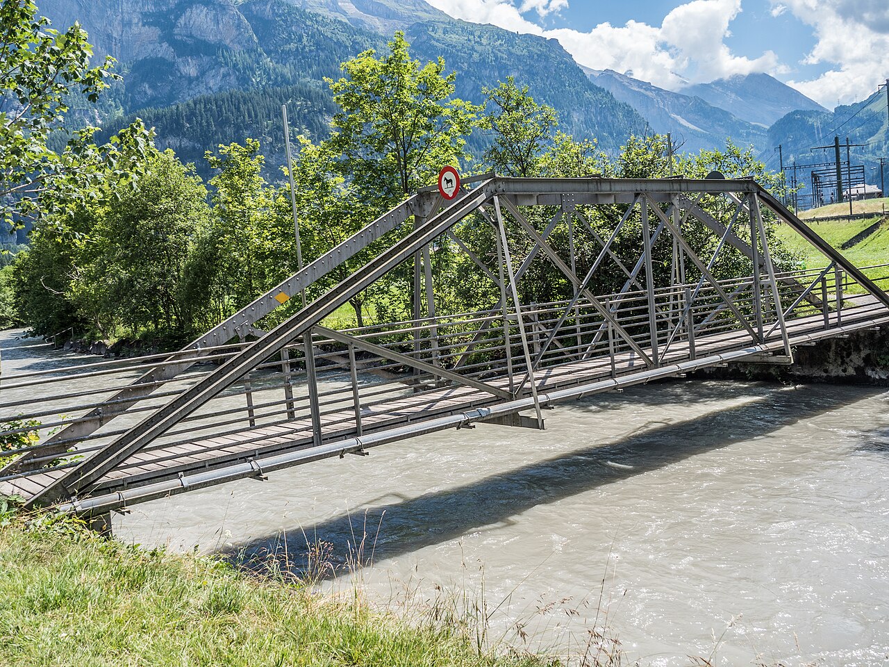
#2. 01-Lötschberg Panoramaweg
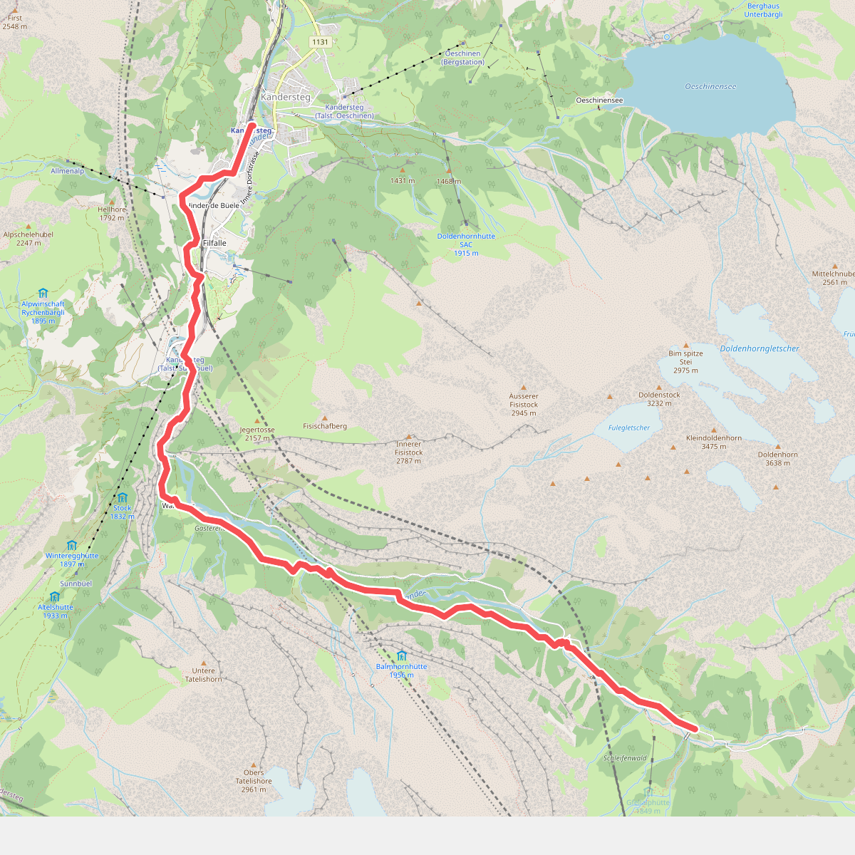
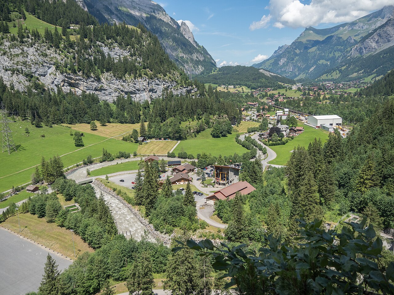
#3. 02-Lötschberg Panoramaweg
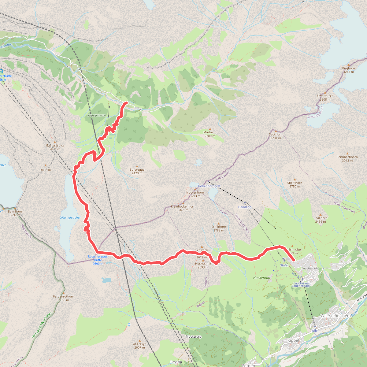
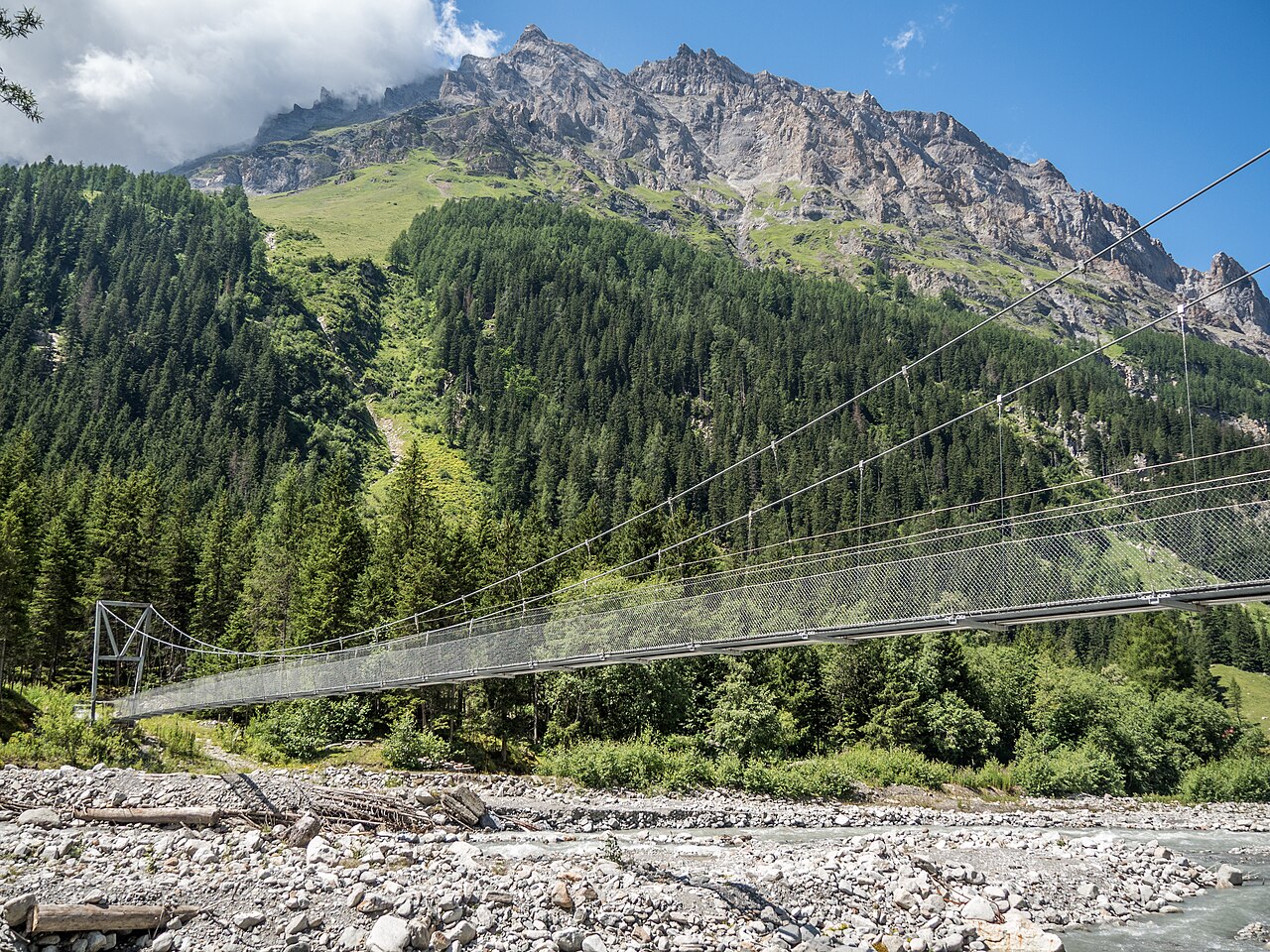
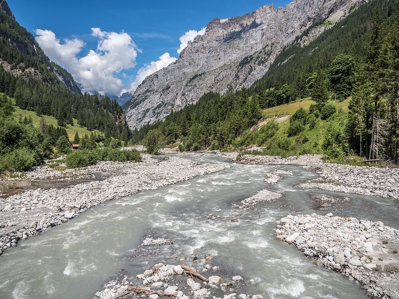
#4. 03-Lötschberg Panoramaweg
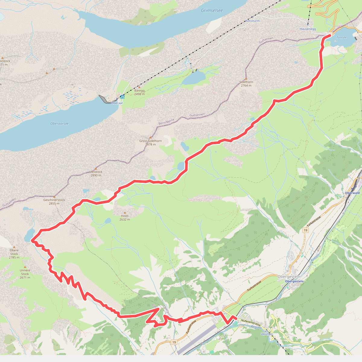
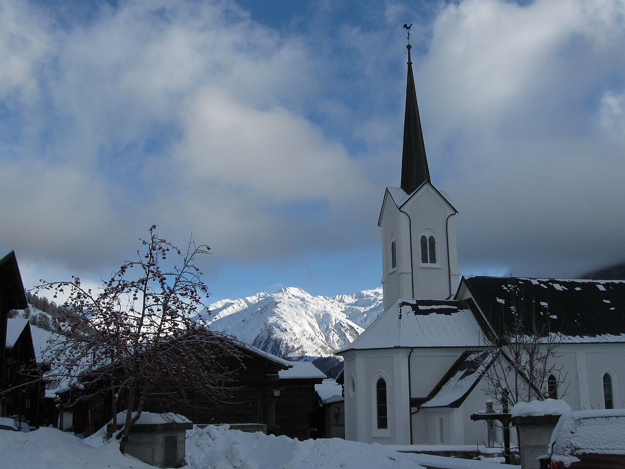
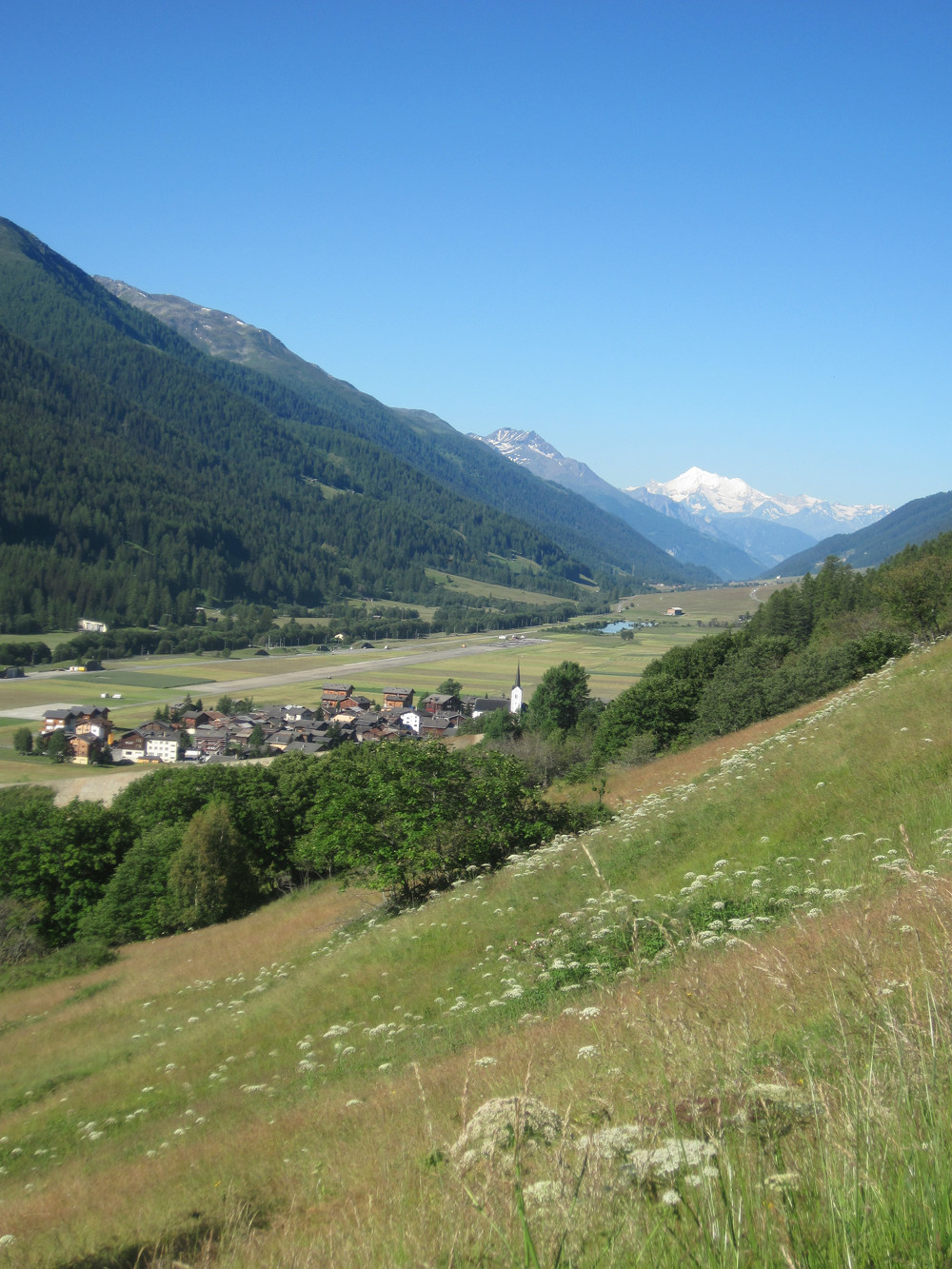
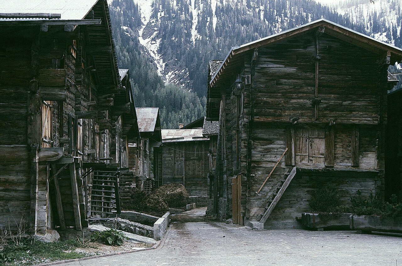
#5. 9 Seen-Weg
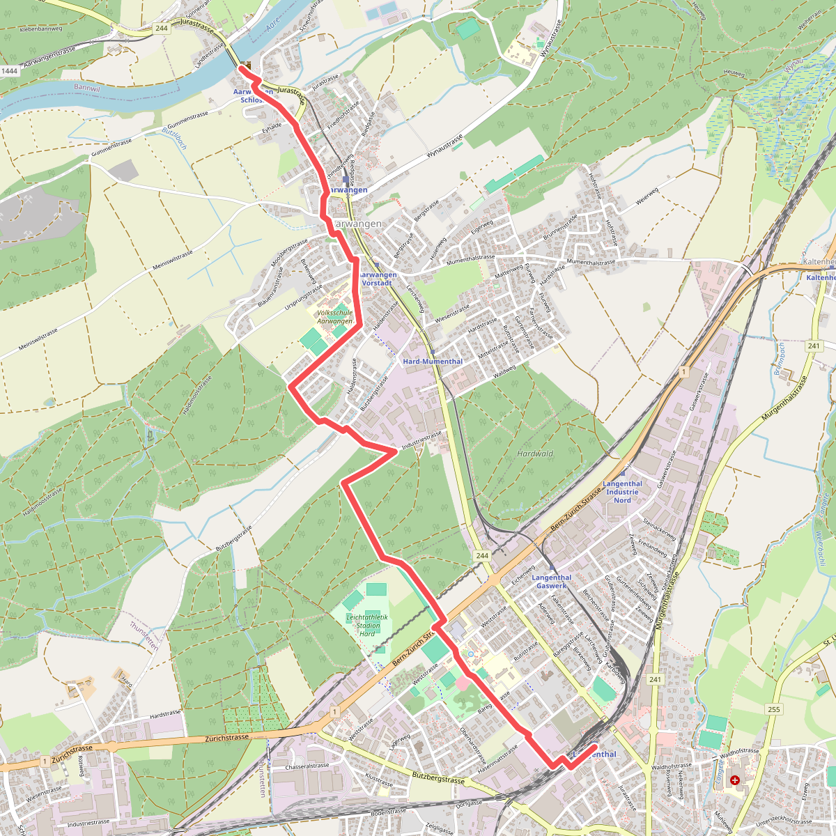
#6. Aarwangen Schloss - Langenthal
Aarwangen,Langenthal
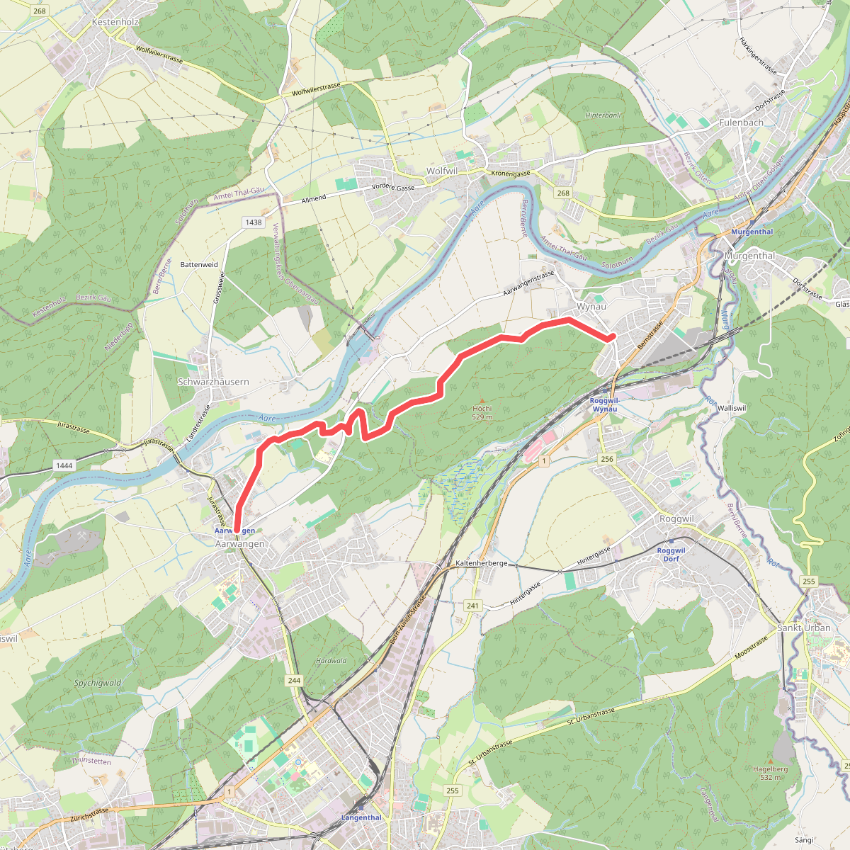
#7. Aarwangen - Wynau
Aarwangen,Wynau
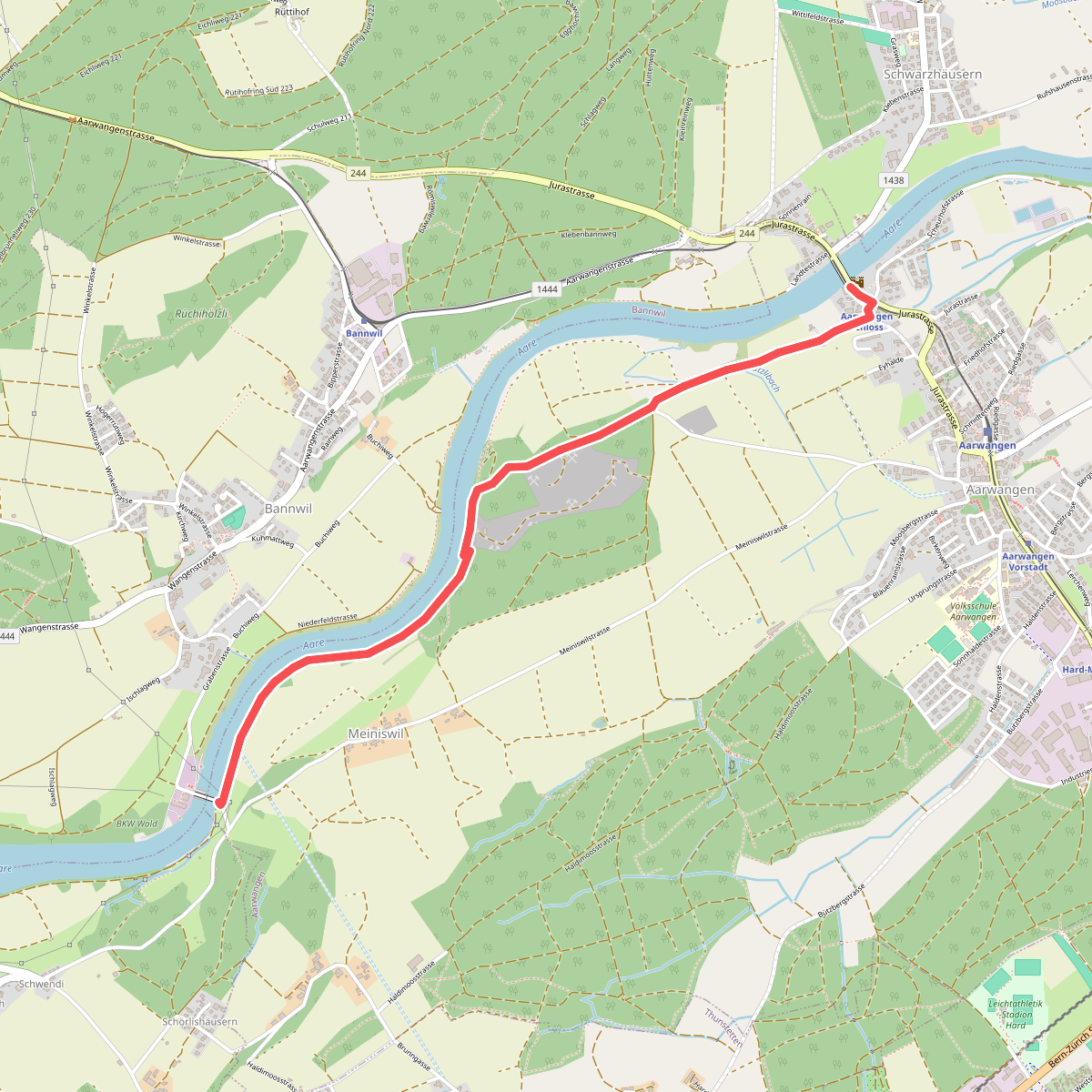
#8. AarwangenSchloss - Bannwil/Kraftwerk
Aarwangen
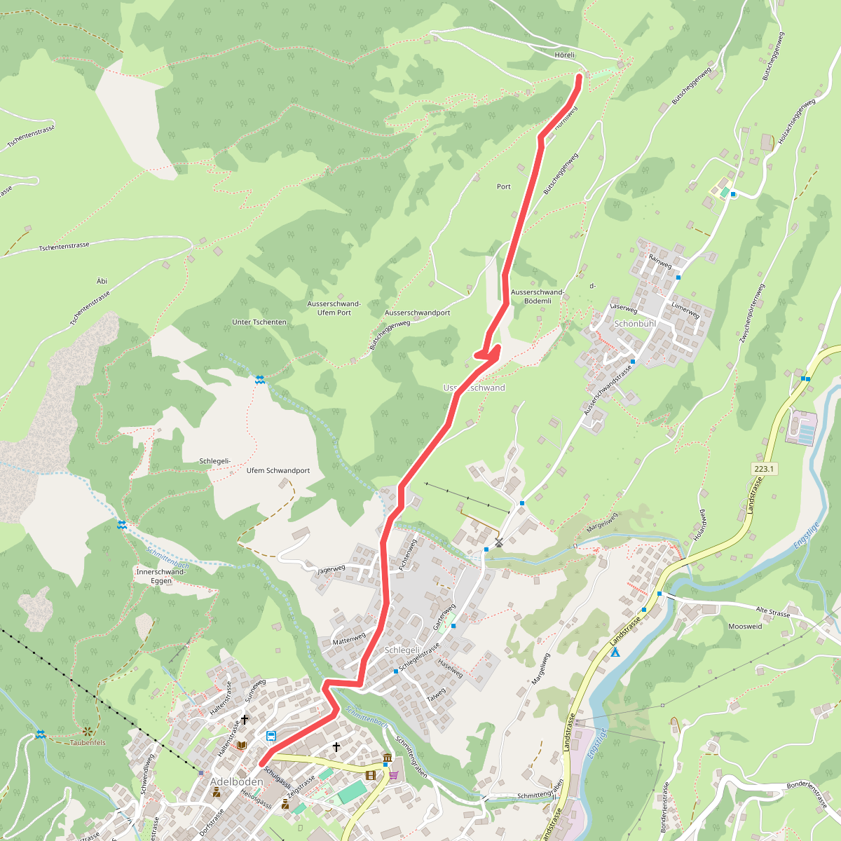
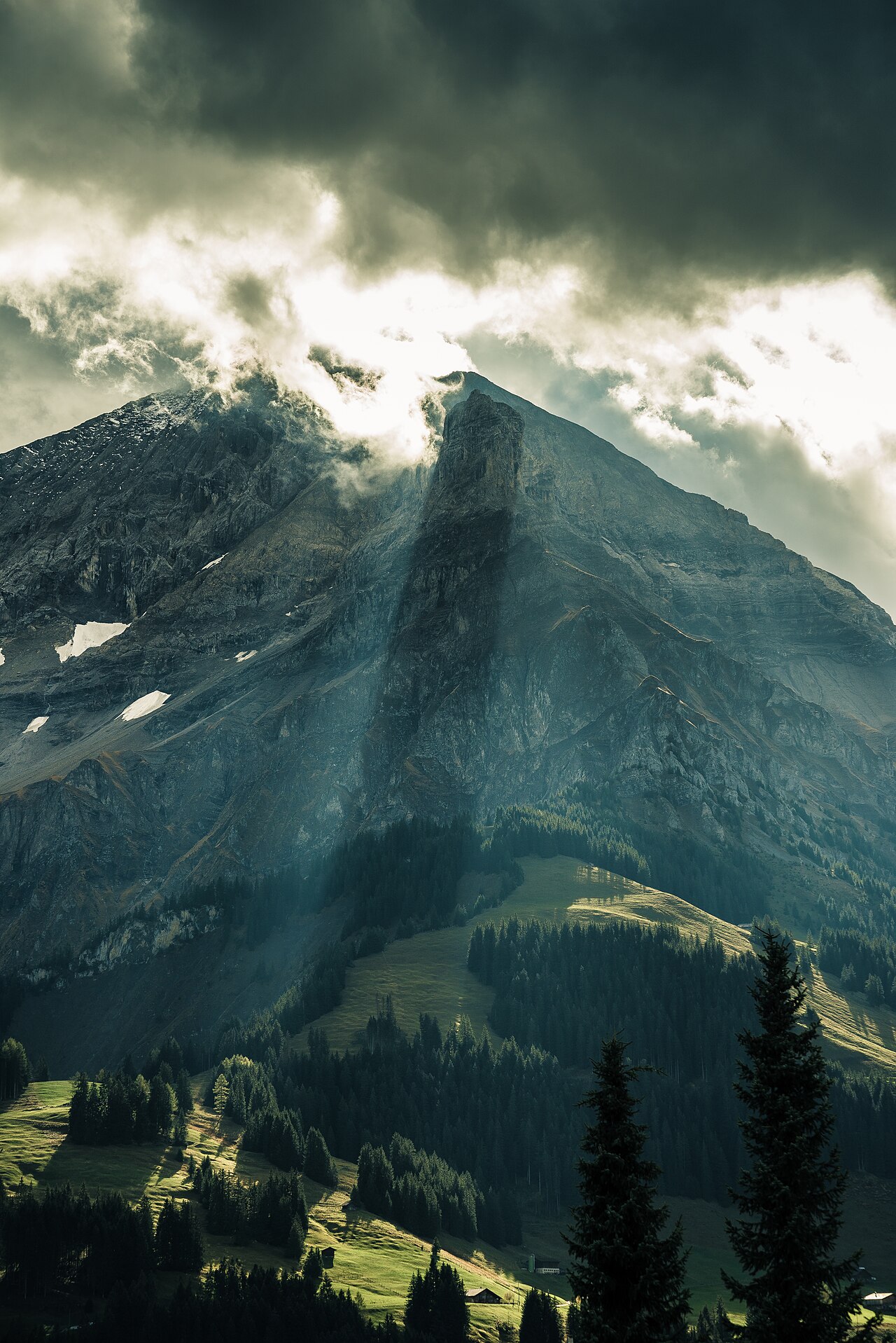
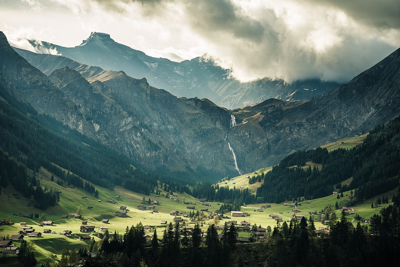
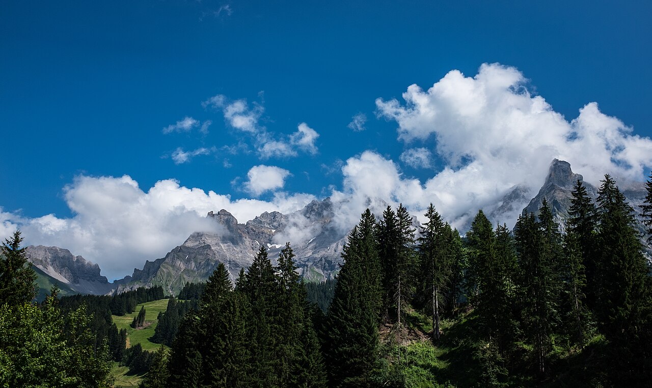
#9. Adelboden - Hörnli
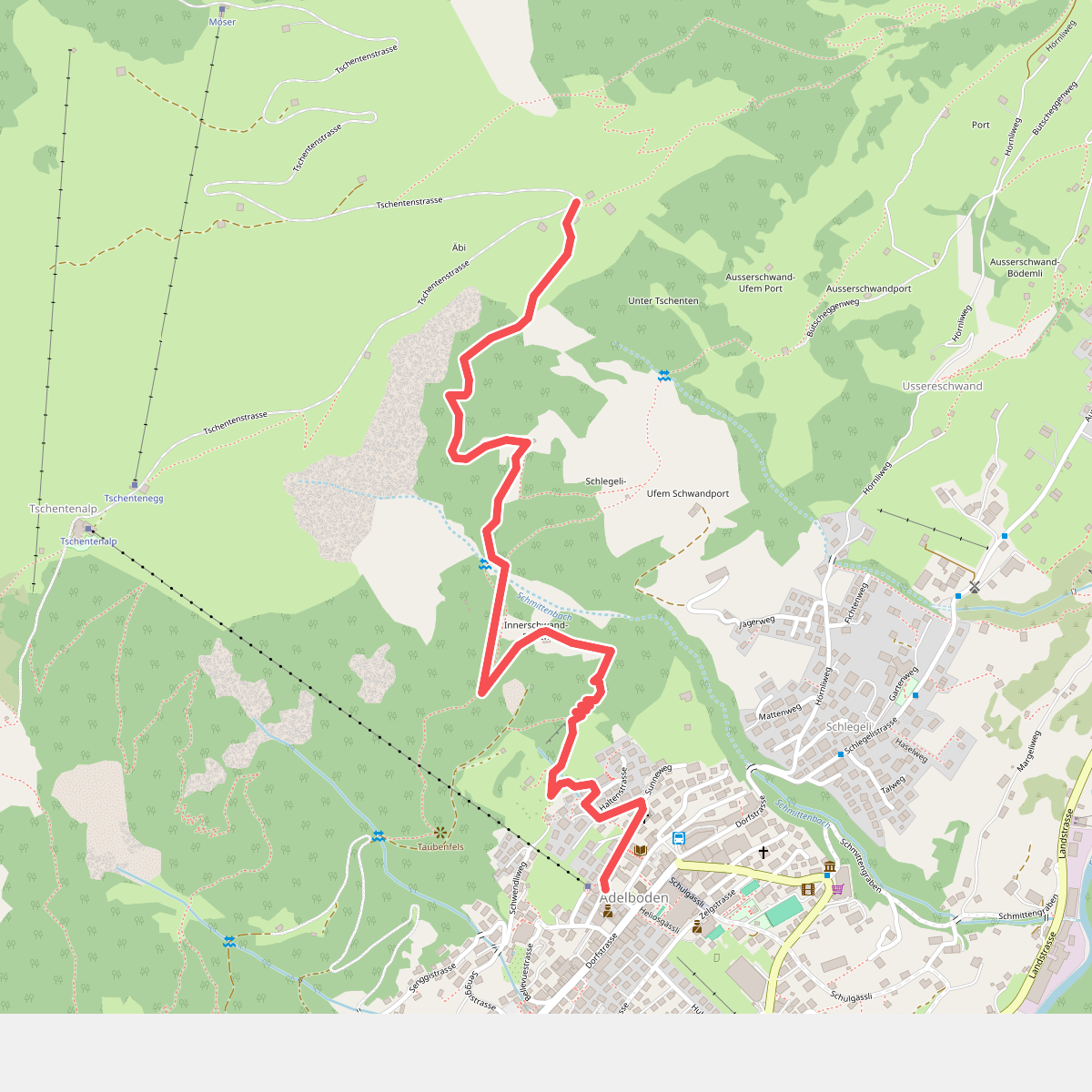
#10. Adelboden - Tschentenegg
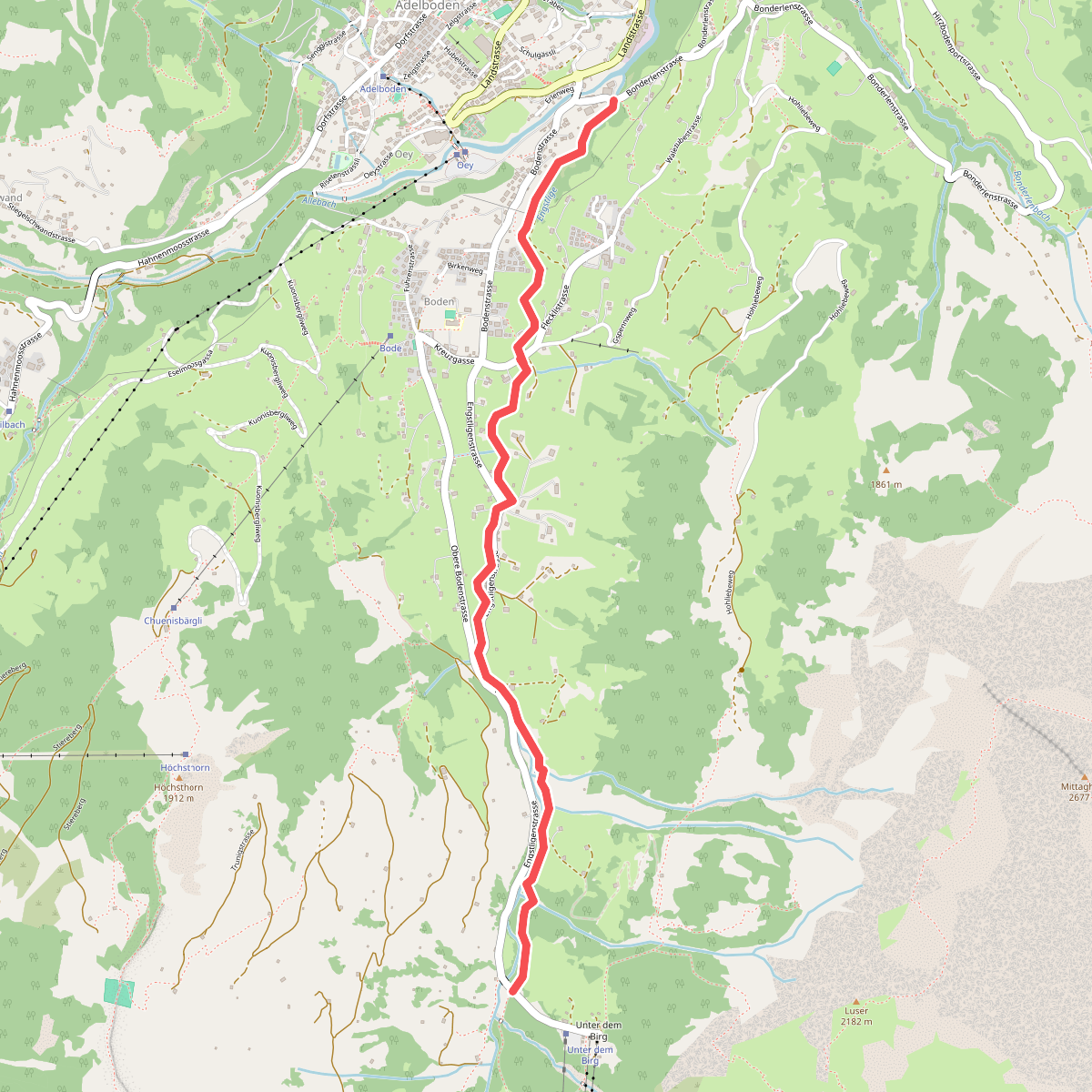
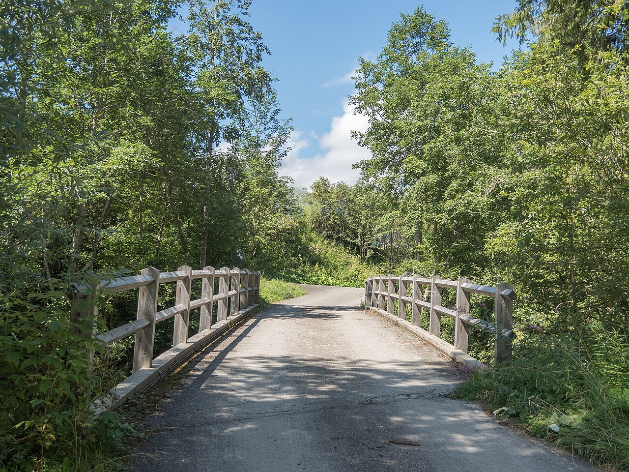
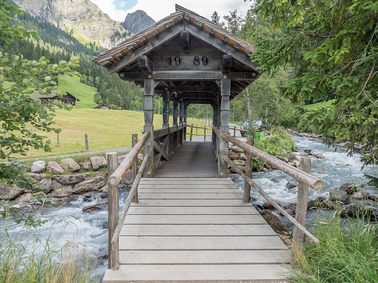
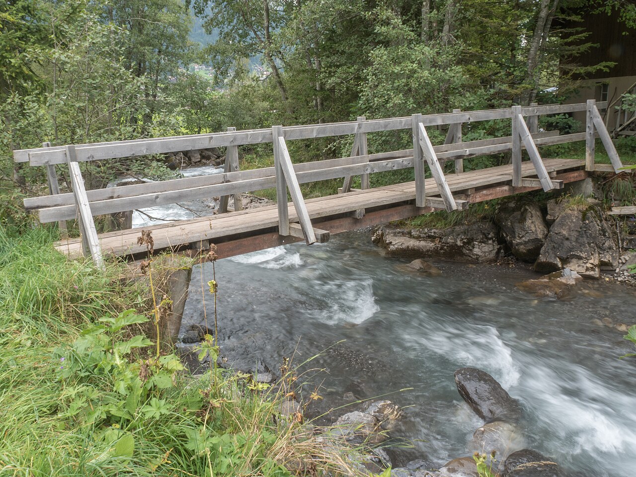
#11. Adelboden - Unter dem Birg
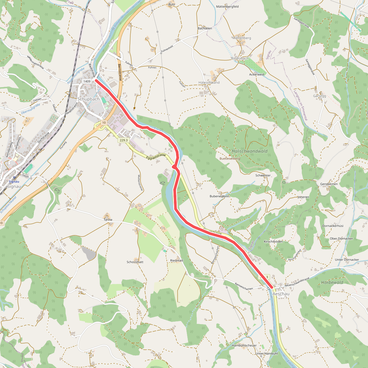
#12. Aeschau - Schüpbach
Eggiwil,Signau



