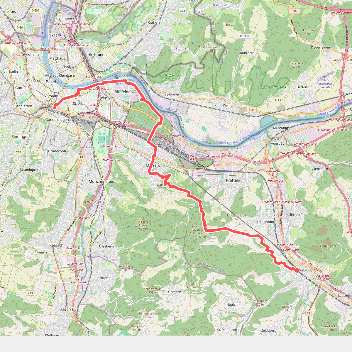
The best hiking routes in Basel-City
Discover the best walks in Basel-City. 6 routes on the map, with descriptions, photos and GPX.
About Basel-City
Basel-City offers a stark contrast between its dense, industrialized urban core along the Rhine and the expansive, forested highlands that rise immediately beyond the national border. Walkers looking for deep woodland silence and steep elevation gains will need to cross into the nearby Naturpark Südschwarzwald, where the terrain shifts abruptly from concrete streets to gravel forestry tracks, dense pine canopies, and granite outcrops. This transboundary landscape is defined by its sudden transition from a bustling river port to quiet, shadowed valleys that feel entirely disconnected from the city below.
Read more
About Basel-City
Basel-City offers a stark contrast between its dense, industrialized urban core along the Rhine and the expansive, forested highlands that rise immediately beyond the national border. Walkers looking for deep woodland silence and steep elevation gains will need to cross into the nearby Naturpark Südschwarzwald, where the terrain shifts abruptly from concrete streets to gravel forestry tracks, dense pine canopies, and granite outcrops. This transboundary landscape is defined by its sudden transition from a bustling river port to quiet, shadowed valleys that feel entirely disconnected from the city below.
Read moreBasel-City offers a stark contrast between its dense, industrialized urban core along the Rhine and the expansive, forested highlands that rise immediately beyond the national border. Walkers looking for deep woodland silence and steep elevation gains will need to cross into the nearby Naturpark Südschwarzwald, where the terrain shifts abruptly from concrete streets to gravel forestry tracks, dense pine canopies, and granite outcrops. This transboundary landscape is defined by its sudden transition from a bustling river port to quiet, shadowed valleys that feel entirely disconnected from the city below.
Underfoot, the paths in the urban center are paved with hard asphalt and cobblestones, while the trails in the neighboring Naturpark Südschwarzwald consist of packed earth, tree roots, and loose forest gravel. You will not find high alpine peaks or dramatic glaciers here; instead, the landscape is characterized by heavily forested, rounded hills and deep, damp ravines. In October, the beech and maple trees in these valleys turn a deep rust-brown, creating a heavy leaf litter that covers the damp forest floor.
The city parks along the Rhine are open and flat, attracting regular foot traffic, whereas the steep climbs into the Naturpark Südschwarzwald offer a much quieter, more physically demanding experience. Choosing where to walk depends on whether you prefer flat, architectural city strolls or the steep, shaded forest tracks that climb into the Black Forest foothills.
Nature areas in Basel-City
Zoom or pan for more routes
Hiking routes in Basel-City (6)
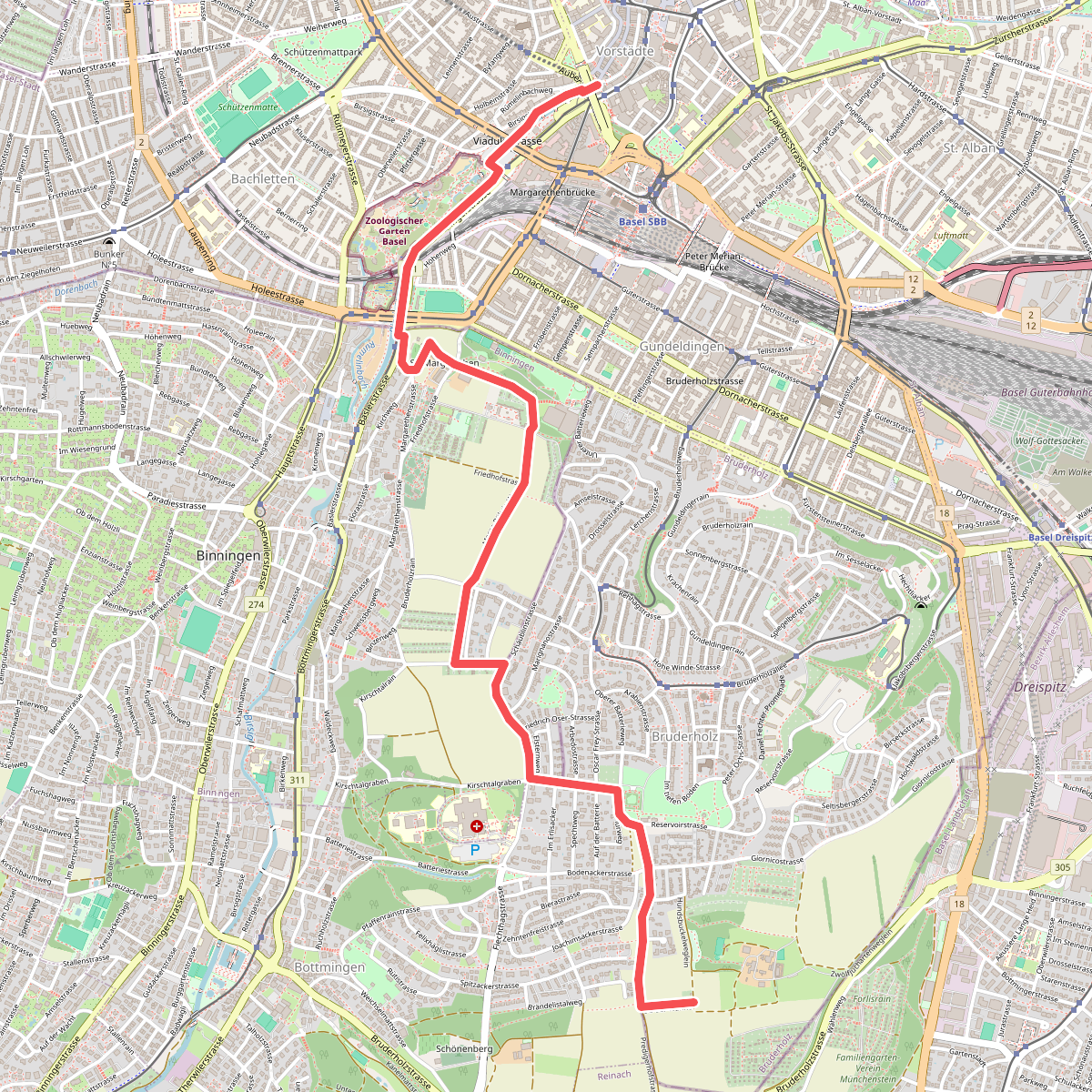
#1. Bruderholz-Rundweg
Basel,Binningen,Bottmingen
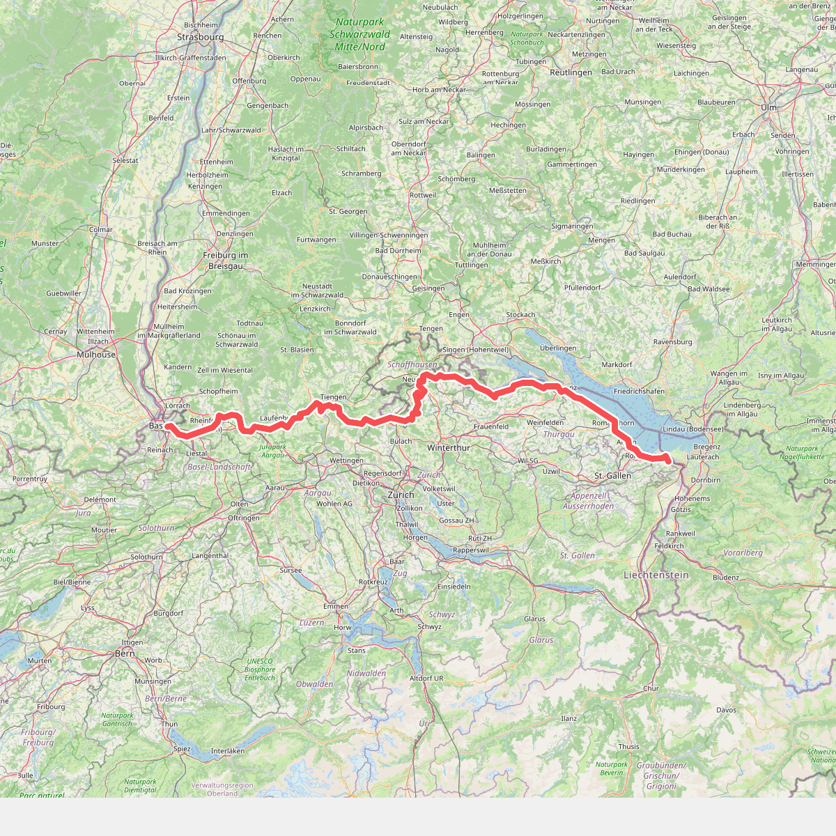
#2. Europäischer Fernwanderweg E5, Schweiz
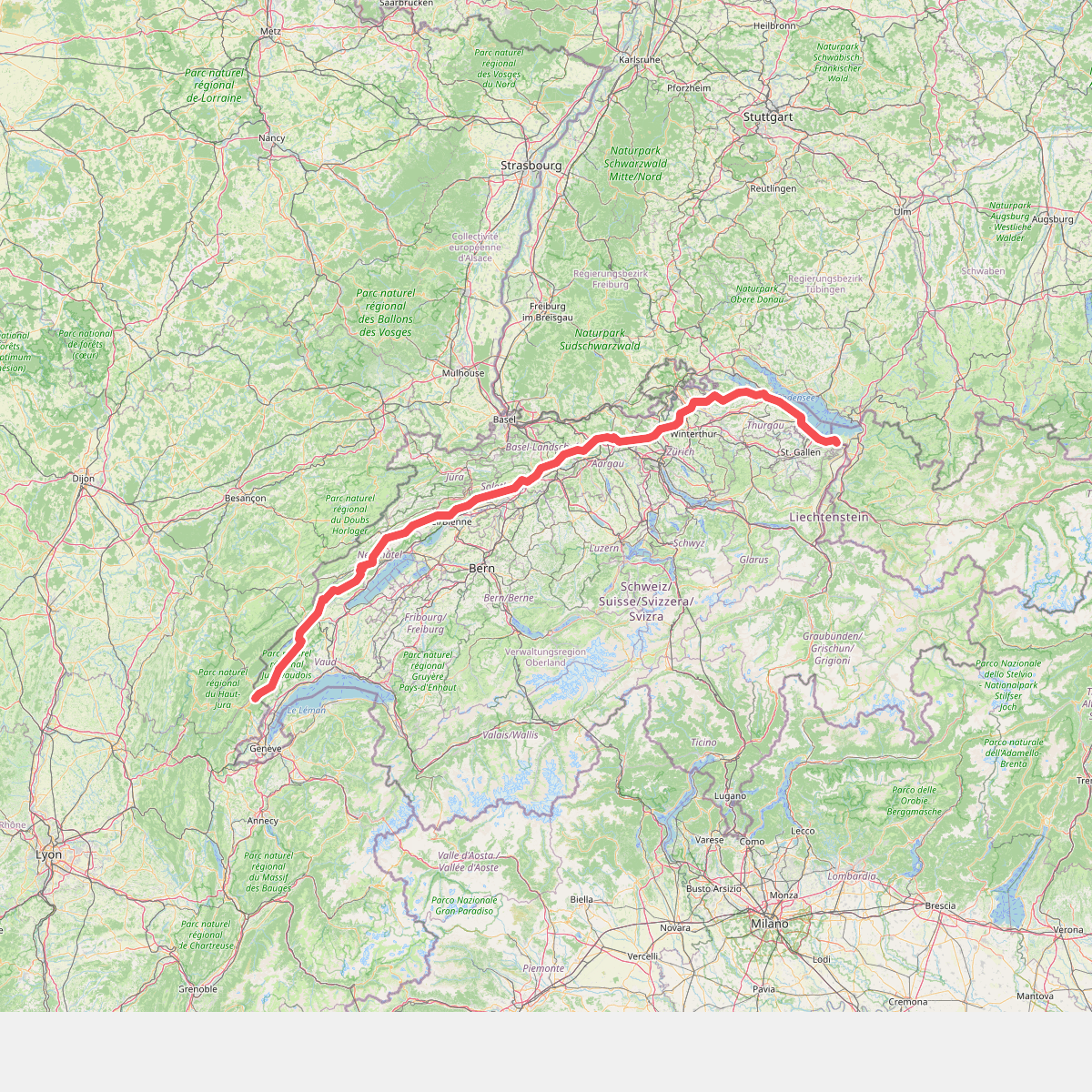
#3. European long distance path E4 - part Switzerland
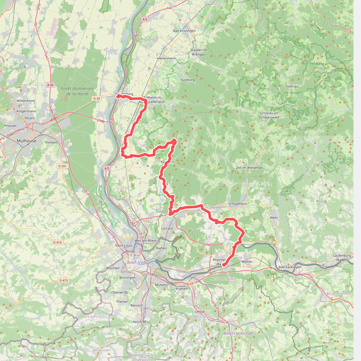
#4. Interregio-Wanderweg (deutscher Abschnitt)
Chalampé,Neuenburg am Rhein,Müllheim im Markgräflerland,Auggen,Schliengen,Bad Bellingen,Kandern,Wittlingen,Rümmingen,Lörrach,Steinen,Maulburg,Rheinfelden (Baden),Schopfheim
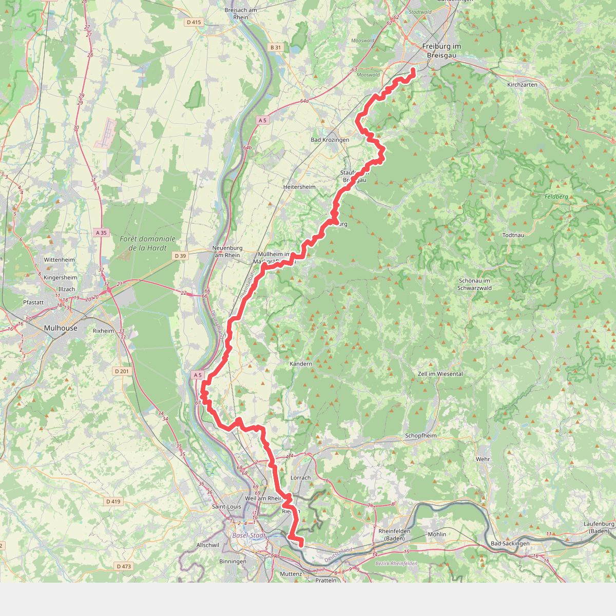
#5. Markgräfler Wiiwegli
Freiburg im Breisgau,Schallstadt,Ebringen,Pfaffenweiler,Staufen im Breisgau,Ballrechten-Dottingen,Sulzburg,Müllheim im Markgräflerland,Badenweiler,Auggen,Schliengen,Bad Bellingen,Efringen-Kirchen,Fischingen,Schallbach,Binzen,Rümmingen,Weil am Rhein,Riehen