

The best hiking routes in Aargau
Discover the best walks in Aargau. 393 routes on the map, with descriptions, photos and GPX.
About Aargau
Aargau is a northern Swiss canton characterized by gently rolling hills, wide river valleys, and low-altitude forested ridges rather than the dramatic high peaks found further south. Walkers will find a landscape shaped by the confluence of major rivers like the Aare, Reuss, and Limmat, where broad gravel paths follow the water and lead through agricultural plains. The terrain is accessible and generally easy underfoot, dominated by packed dirt tracks, forest forestry roads, and paved agricultural lanes.
Read more
About Aargau
Aargau is a northern Swiss canton characterized by gently rolling hills, wide river valleys, and low-altitude forested ridges rather than the dramatic high peaks found further south. Walkers will find a landscape shaped by the confluence of major rivers like the Aare, Reuss, and Limmat, where broad gravel paths follow the water and lead through agricultural plains. The terrain is accessible and generally easy underfoot, dominated by packed dirt tracks, forest forestry roads, and paved agricultural lanes.
Read moreAargau is a northern Swiss canton characterized by gently rolling hills, wide river valleys, and low-altitude forested ridges rather than the dramatic high peaks found further south. Walkers will find a landscape shaped by the confluence of major rivers like the Aare, Reuss, and Limmat, where broad gravel paths follow the water and lead through agricultural plains. The terrain is accessible and generally easy underfoot, dominated by packed dirt tracks, forest forestry roads, and paved agricultural lanes.
To the north, the landscape transitions across the Rhine into the Naturpark Südschwarzwald, where the valleys become narrower and the forests denser. Here, the paths climb steadily through dark pine woods and over granite-strewn hillsides, offering a more enclosed, wooded walking experience compared to the open, farm-dominated valleys of the Aargau lowlands. In October, these dense canopy sections in the north turn deep gold and brown, contrasting with the mist-prone river meadows of the south.
This region is not a wilderness of deep valleys or rugged alpine climbs. Instead, it offers reliable, signposted walking through a working landscape where quiet woodland stretches are regularly punctuated by small villages, orchards, and historic hilltop castles. While popular riverside spots near the larger towns attract local walkers on weekends, the higher forest tracks along the ridge lines remain quiet throughout the week.
Nature areas in Aargau
Zoom or pan for more routes
Hiking routes in Aargau (393)
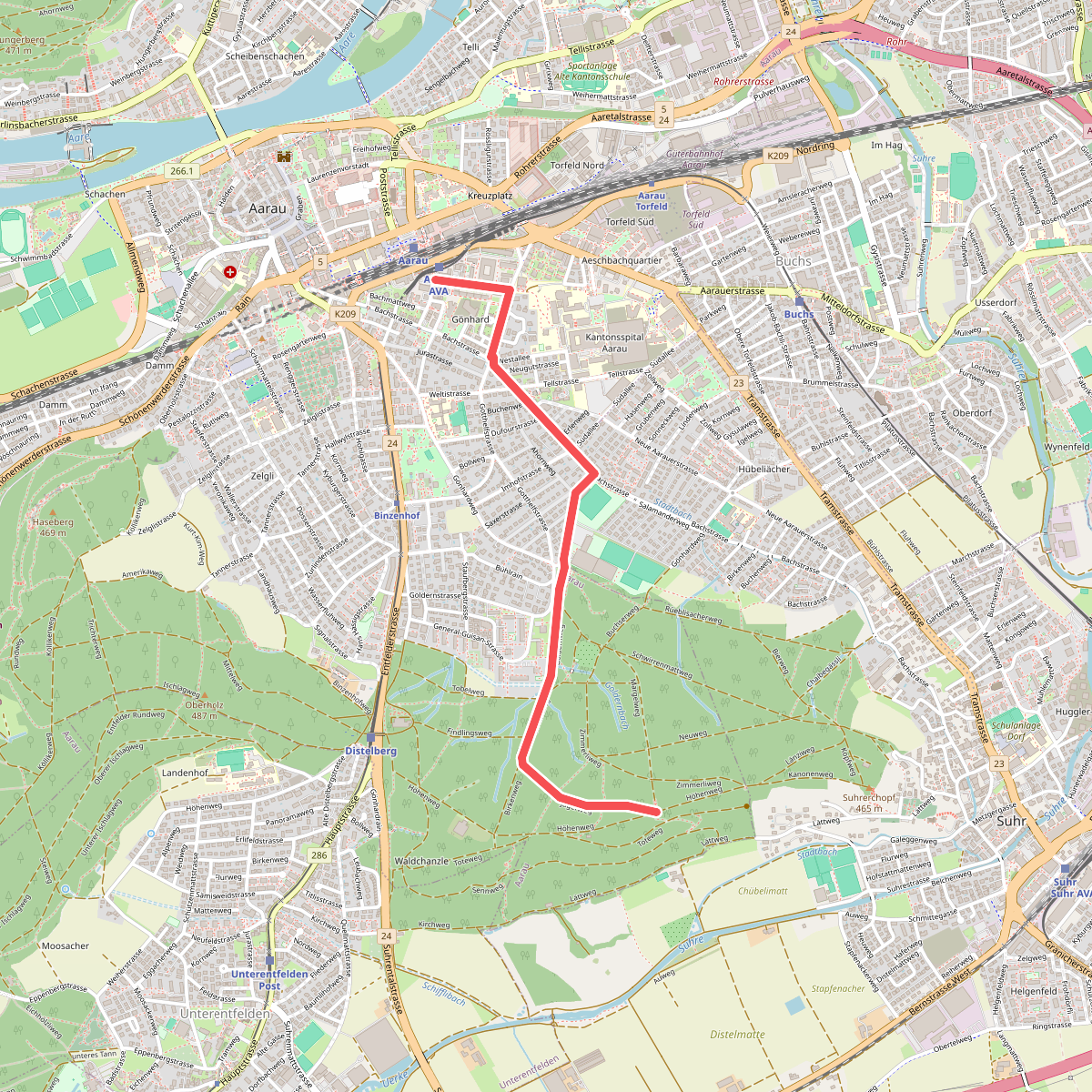
#1. Aarau - Gönert
Aarau
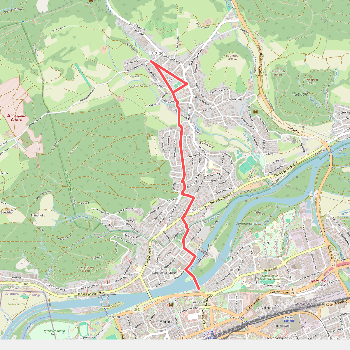
#2. Aarau - Küttigen
Aarau,Küttigen
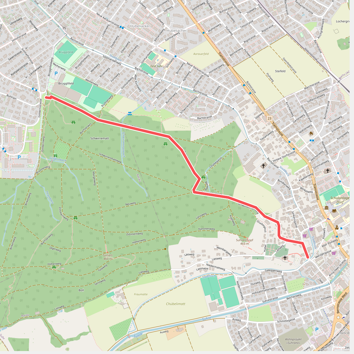
#3. Aarau - Suhr
Suhr,Aarau
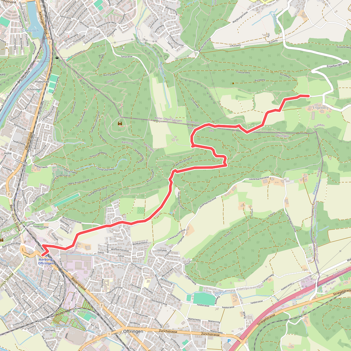
#4. Aarburg - Engelberg
Aarburg,Oftringen,Dulliken
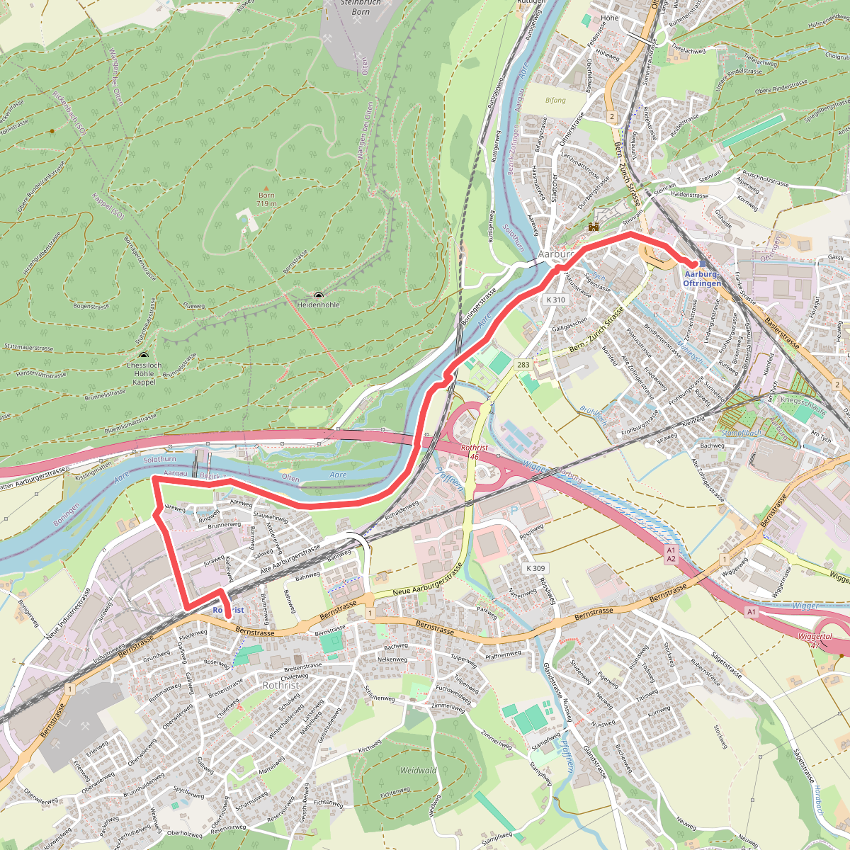
#5. Aarburg - Rothrist
Rothrist,Aarburg
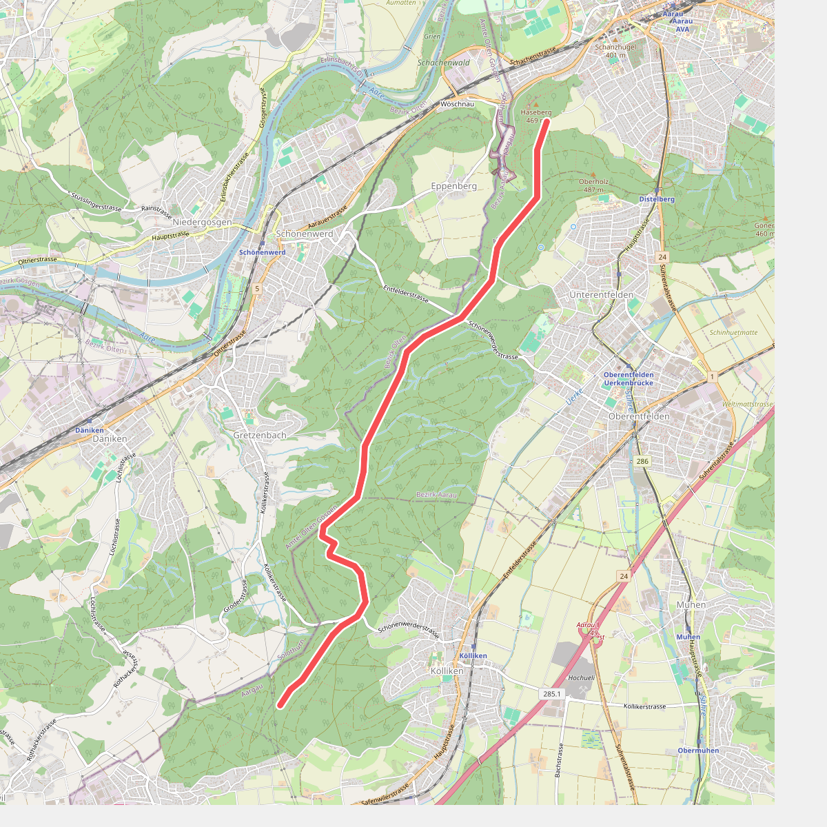
#6. Aargauer Planetenweg
Aarau,Unterentfelden,Oberentfelden,Kölliken
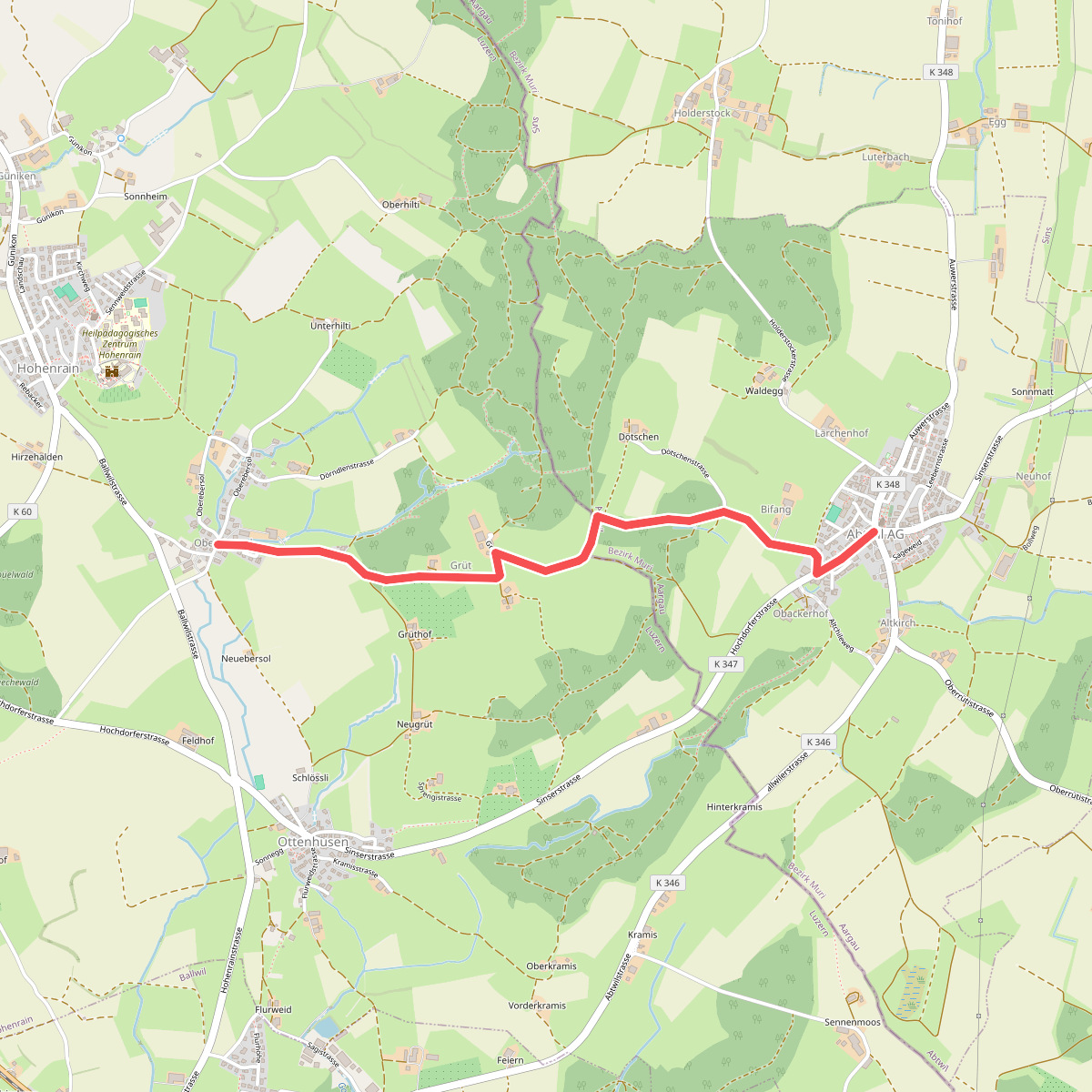
#7. Abtwil - Oberebersol
Hohenrain,Abtwil
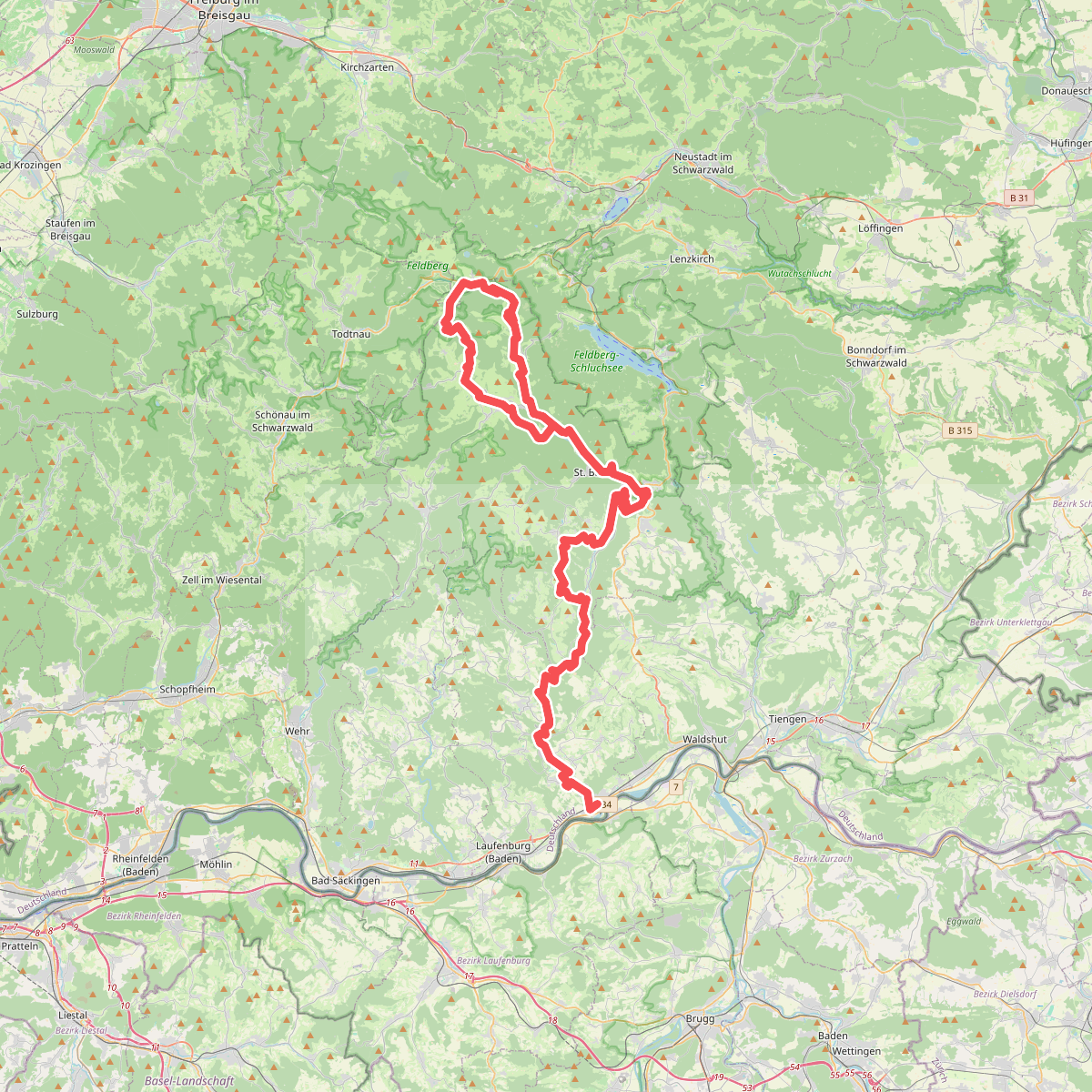
#8. Albsteig Schwarzwald
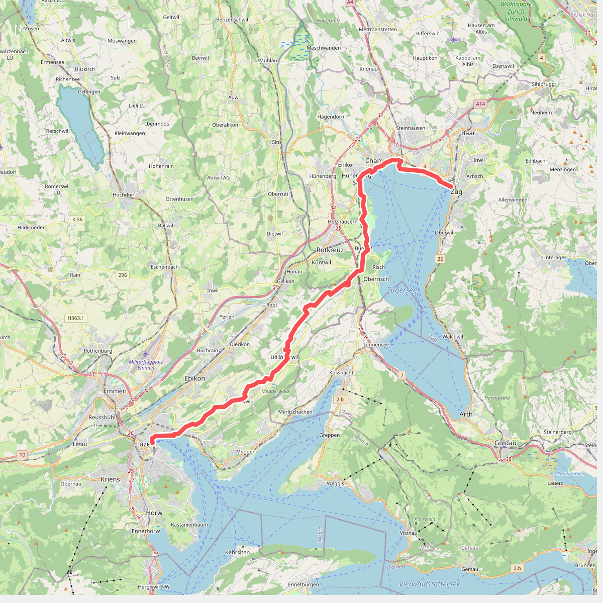
#9. Alpenpanorama-Weg
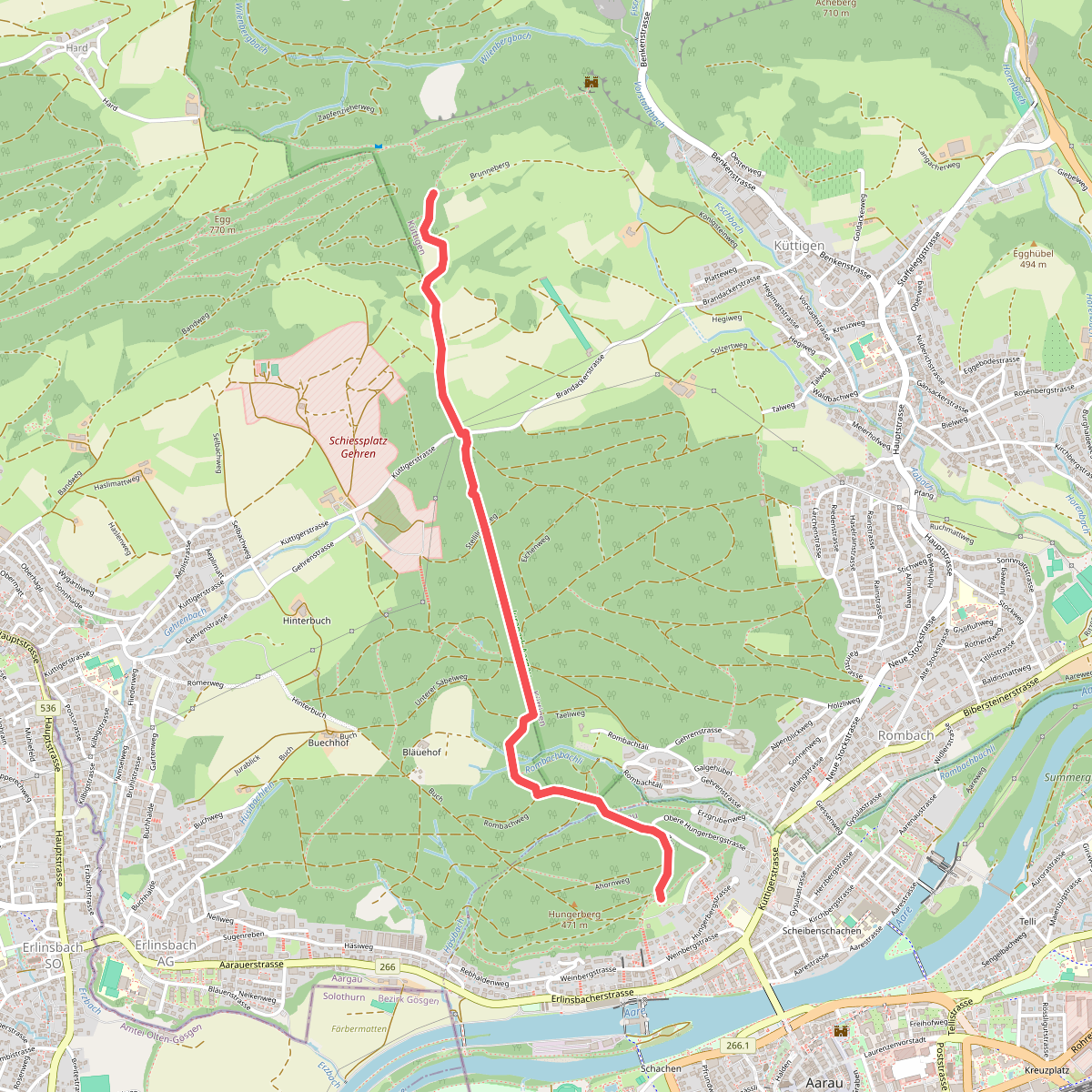
#10. Alpenzeiger- Brunnenberg
Küttigen,Erlinsbach (AG),Aarau
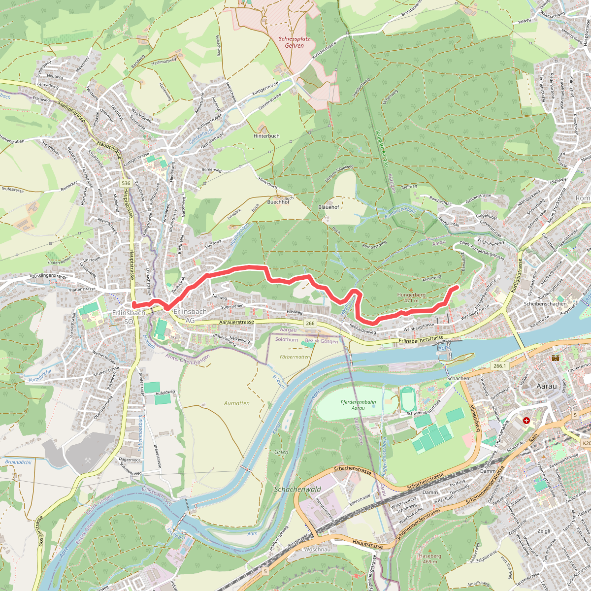
#11. Alpenzeiger- Niedererlinsbach
Erlinsbach (SO),Erlinsbach (AG),Aarau
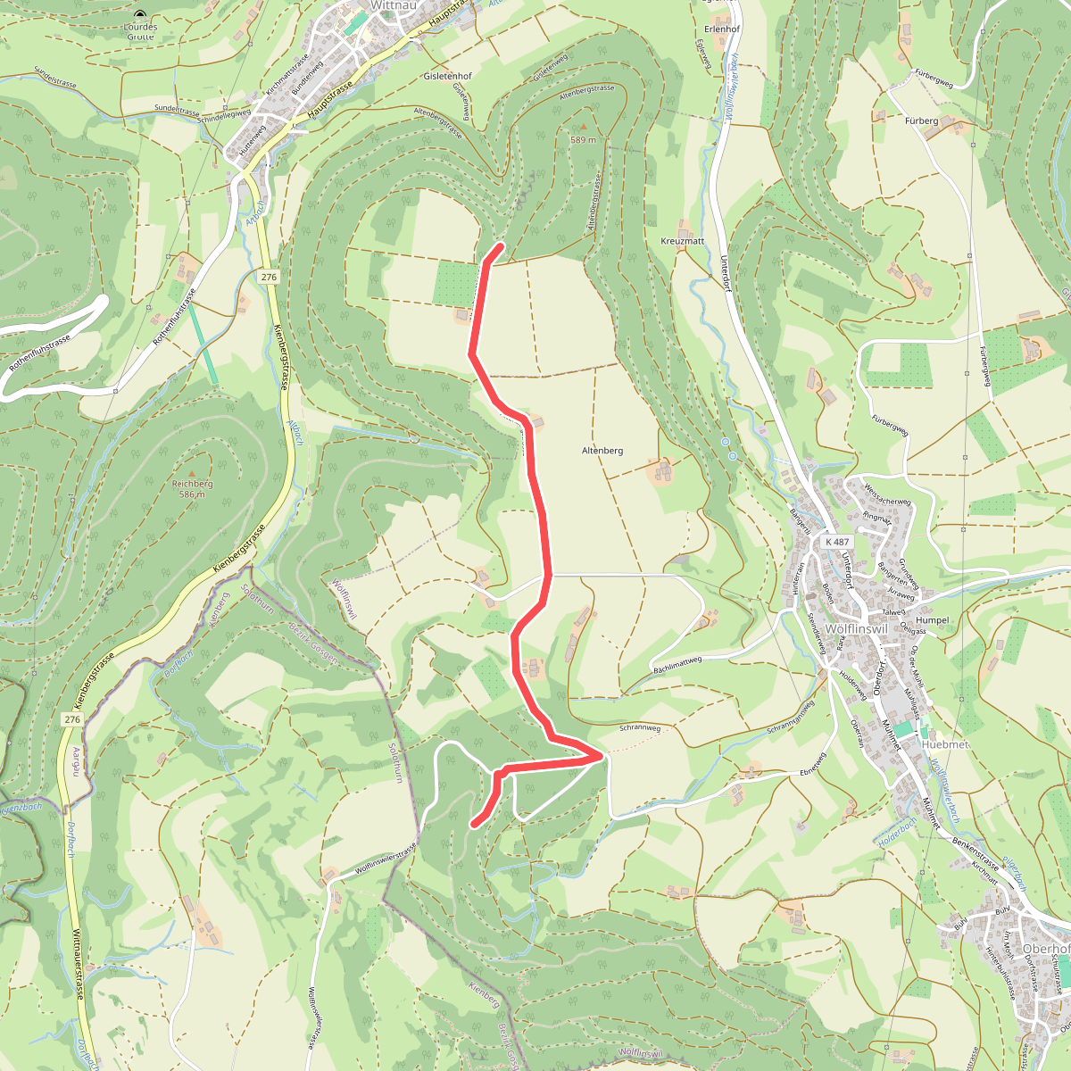
#12. Altenberg - Lammertholz
Wölflinswil,Wittnau



