

The best hiking routes in Germany
Discover the best walks in Germany. 24673 routes on the map, with descriptions, photos and GPX.
About Germany
Germany's northern regions, including Sleeswijk-Holstein and Mecklenburg-Voor-Pommeren, offer low-lying coastal paths and flat terrain. Walking here means navigating sandy tracks, coastal dykes, and wooden boardwalks through lake districts. The landscape is shaped by glacial deposits, resulting in sandy soils and shallow lakes rather than deep valleys. In October, the beech forests along the Baltic cliffs turn bright yellow, which attracts more visitors to the coastal paths, while the inland heathlands of Nedersaksen are generally quieter.
Read more
About Germany
Germany's northern regions, including Sleeswijk-Holstein and Mecklenburg-Voor-Pommeren, offer low-lying coastal paths and flat terrain. Walking here means navigating sandy tracks, coastal dykes, and wooden boardwalks through lake districts. The landscape is shaped by glacial deposits, resulting in sandy soils and shallow lakes rather than deep valleys. In October, the beech forests along the Baltic cliffs turn bright yellow, which attracts more visitors to the coastal paths, while the inland heathlands of Nedersaksen are generally quieter.
Read moreGermany's northern regions, including Sleeswijk-Holstein and Mecklenburg-Voor-Pommeren, offer low-lying coastal paths and flat terrain. Walking here means navigating sandy tracks, coastal dykes, and wooden boardwalks through lake districts. The landscape is shaped by glacial deposits, resulting in sandy soils and shallow lakes rather than deep valleys. In October, the beech forests along the Baltic cliffs turn bright yellow, which attracts more visitors to the coastal paths, while the inland heathlands of Nedersaksen are generally quieter.
Further south, Rijnland-Palts and Baden-Württemberg present a different terrain of forested hills and steep river valleys. Underfoot, paths change to packed earth, sandstone gravel, and exposed tree roots. You will walk past terraced vineyards and sandstone cliffs, where the steepness is a direct result of river erosion cutting through ancient uplands. These forested hills do not offer high alpine peaks, but they require steady climbing on narrow, winding trails.
In Beieren, the landscape rises into actual mountain terrain with limestone paths and rocky steps. This southern region features steep ascents and meadows that are often busy during the summer months. In contrast, the central highlands of Thüringen and Saksen offer dense spruce forests and volcanic hills, where the paths are wider and the gradients are more gentle.
Regions in Germany
Zoom or pan for more routes
Hiking routes in Germany (24,673)
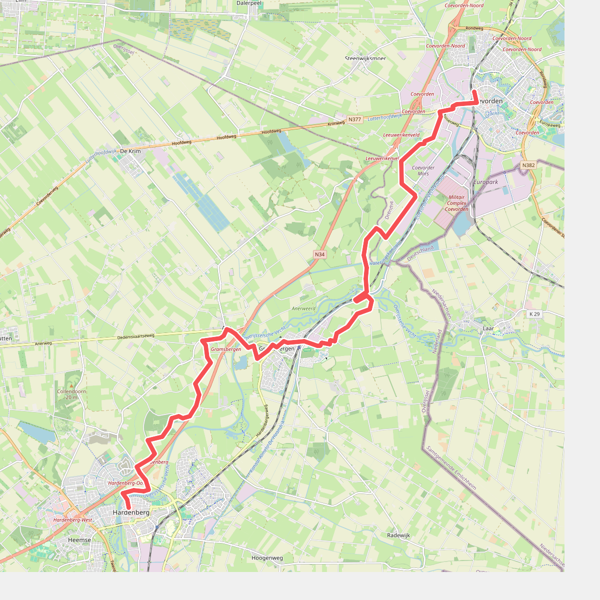
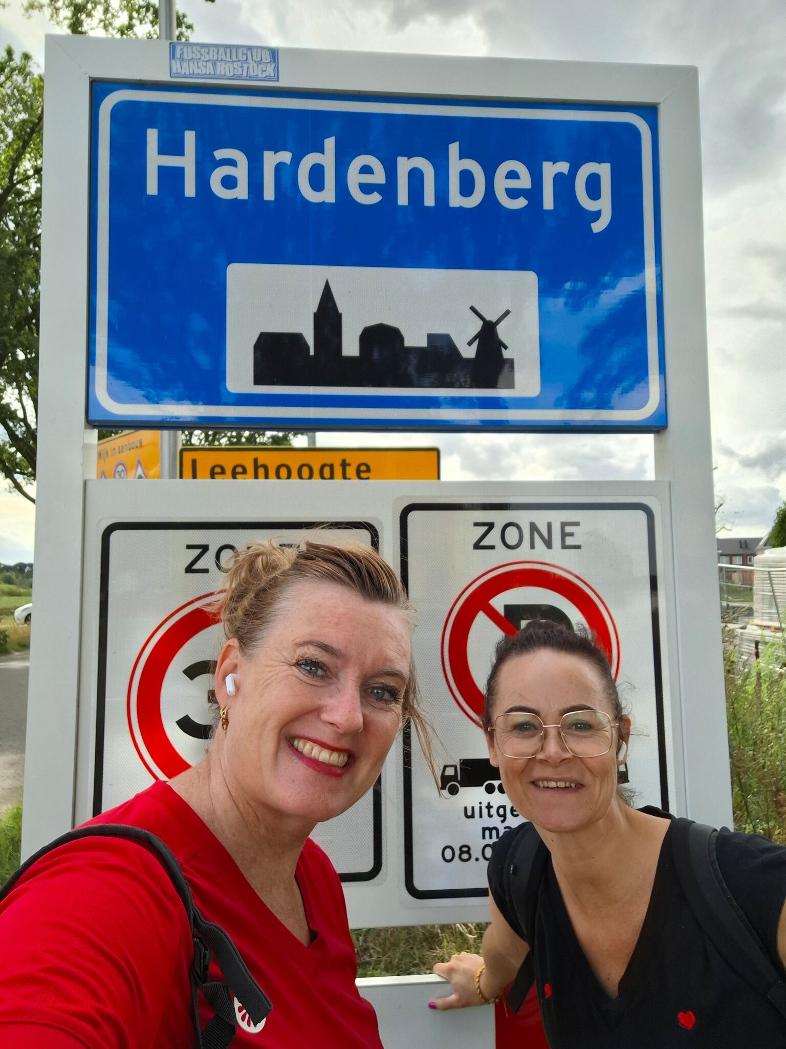
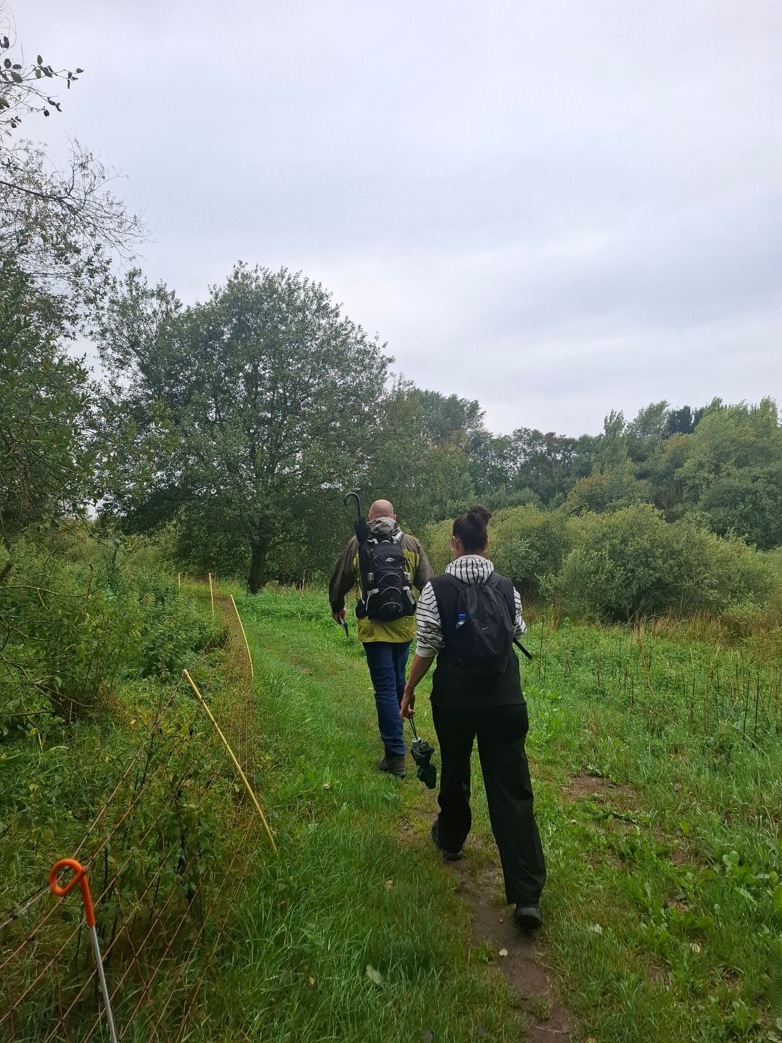
#1. Coevorden - Hardenberg · Pieterpad etappe 8
Coevorden,Holtheme,Gramsbergen,Ane,Anevelde,Collendoorn,Hardenberg
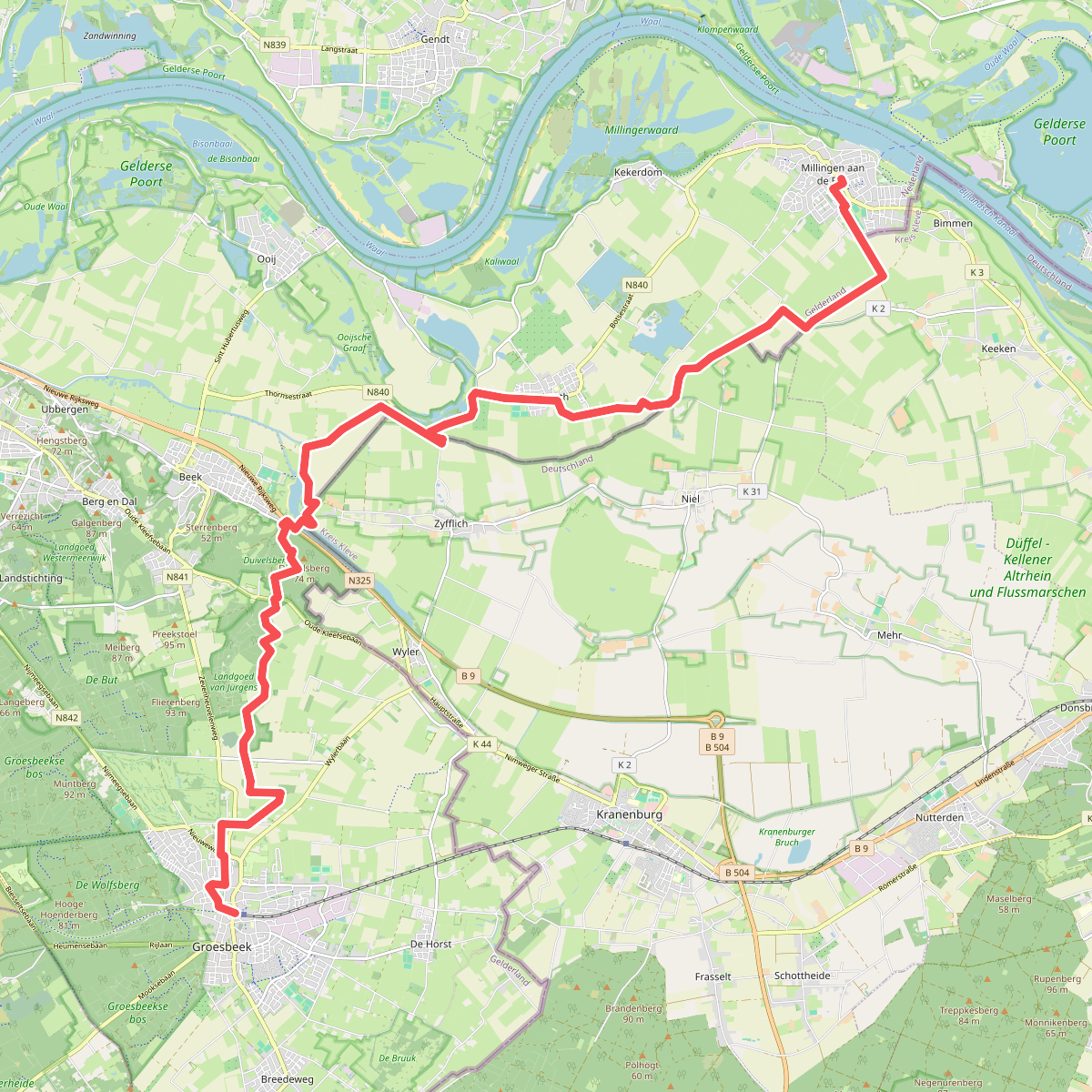
#2. Millingen - Groesbeek · Pieterpad etappe 17
Millingen aan de Rijn,Leuth,Beek,Berg en Dal,Groesbeek
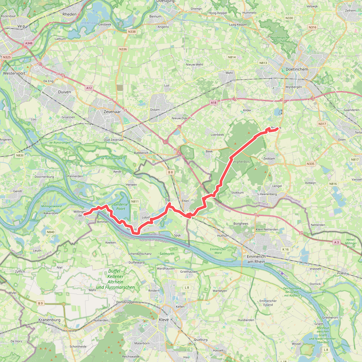
#3. Braamt - Millingen · Pieterpad etappe 16
Braamt,Beek,Stokkum,Spijk,Lobith,Tolkamer,Millingen aan de Rijn
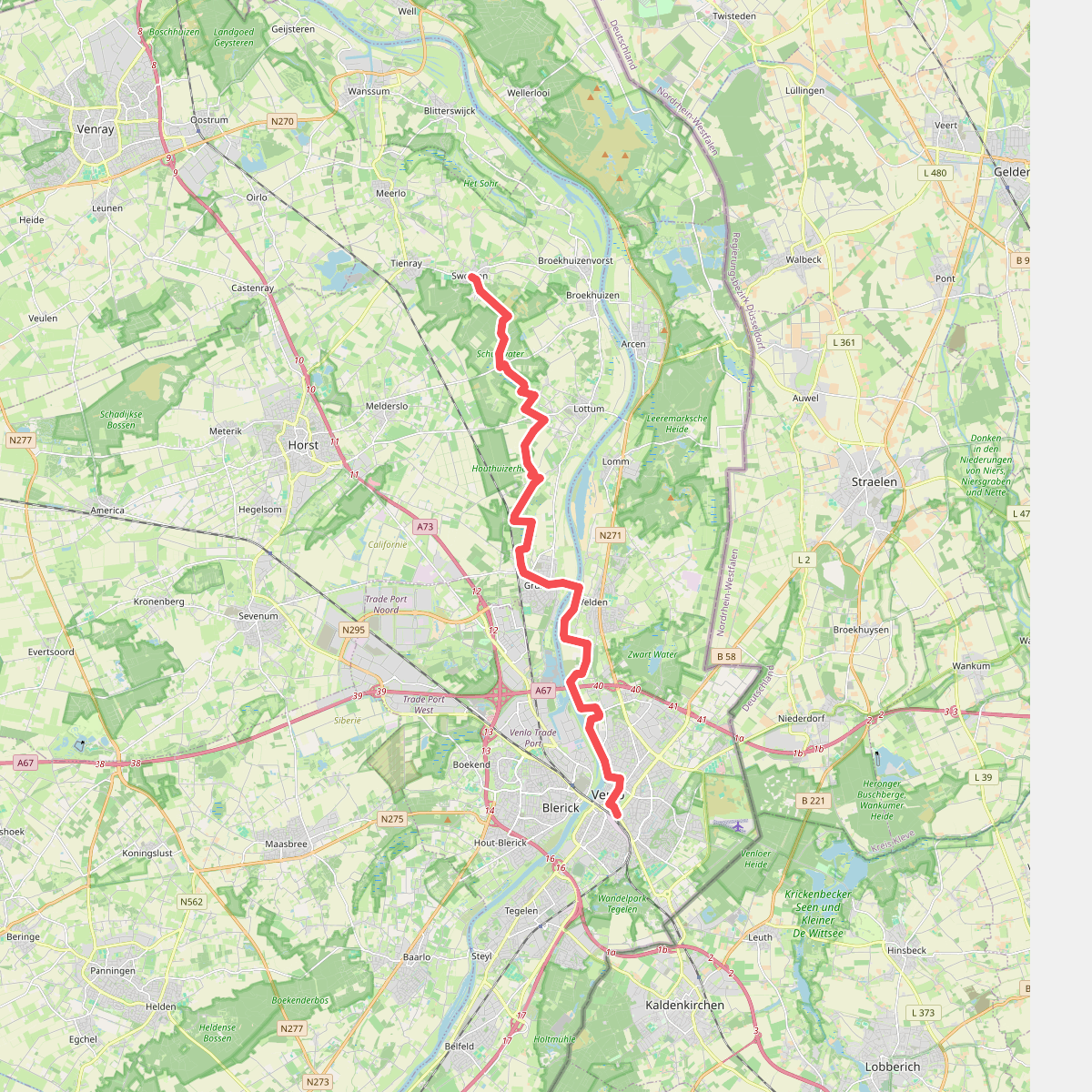
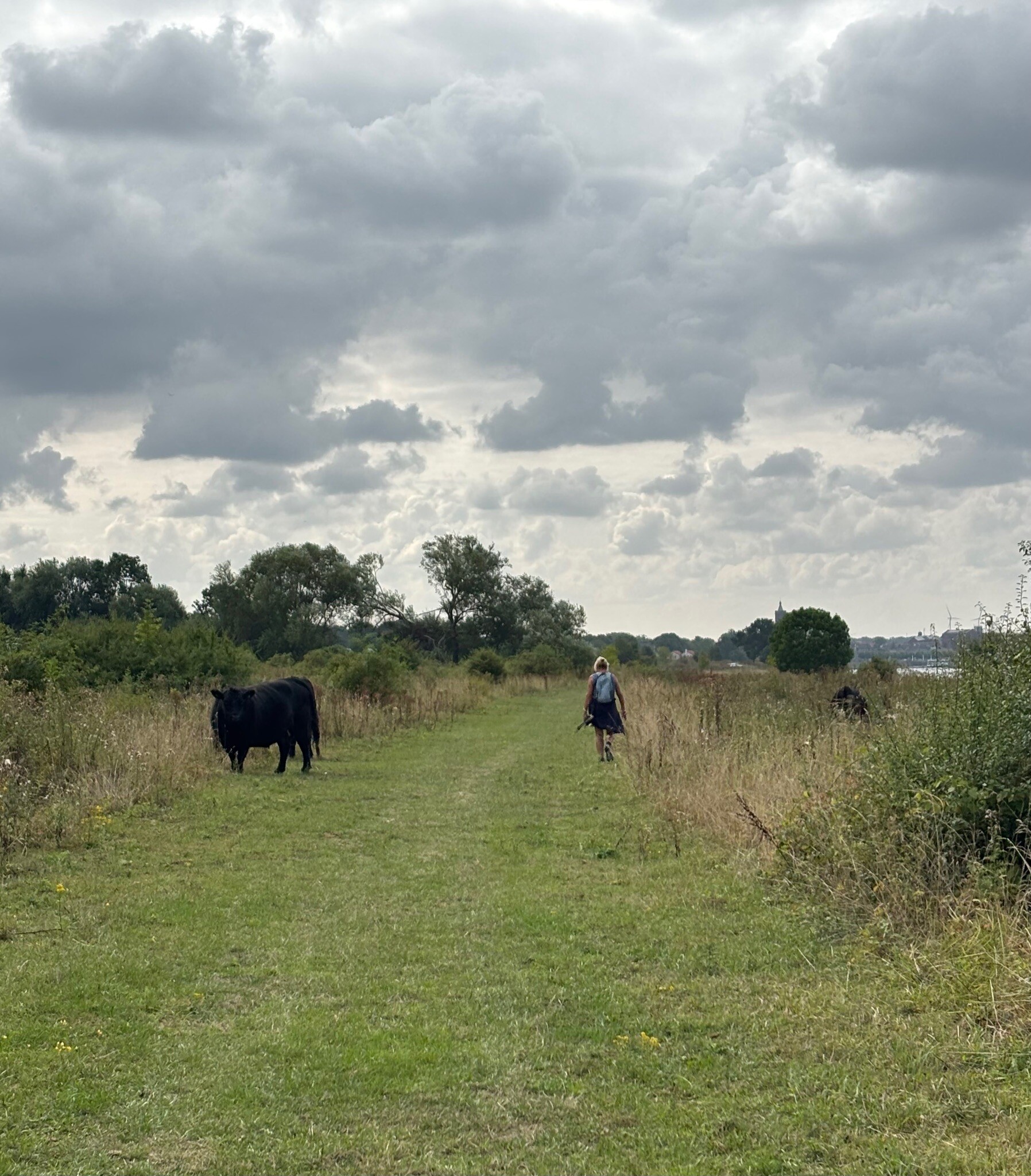
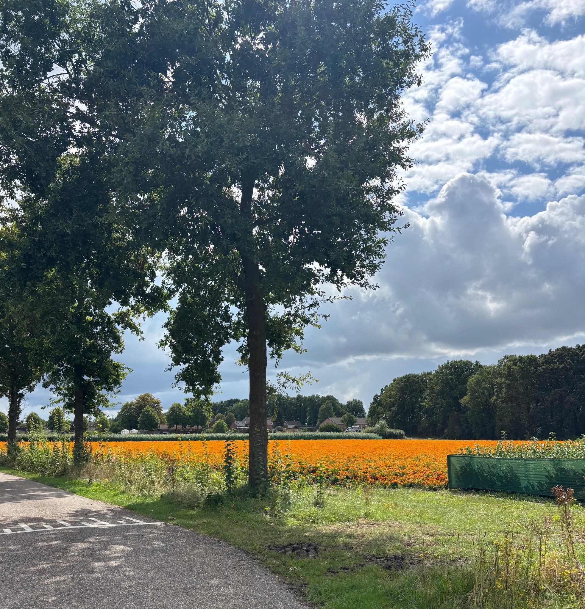
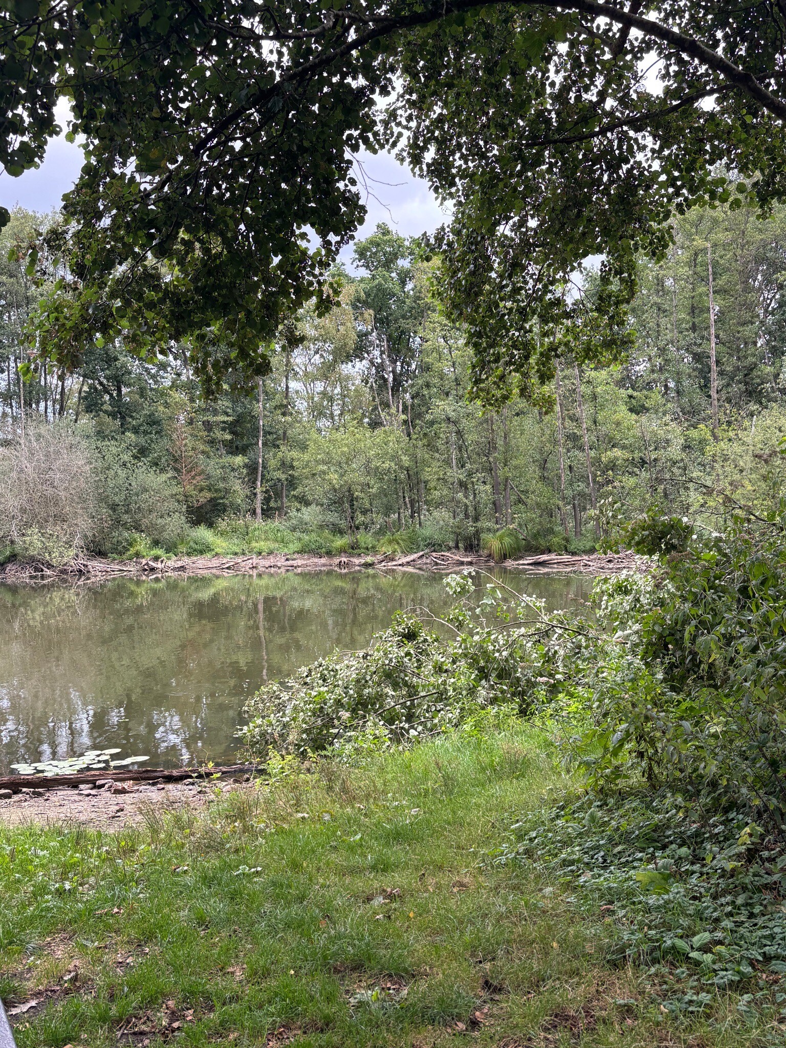
#4. Swolgen - Venlo · Pieterpad etappe 21
Swolgen,Broekhuizen,Lottum,Grubbenvorst,Velden,Venlo
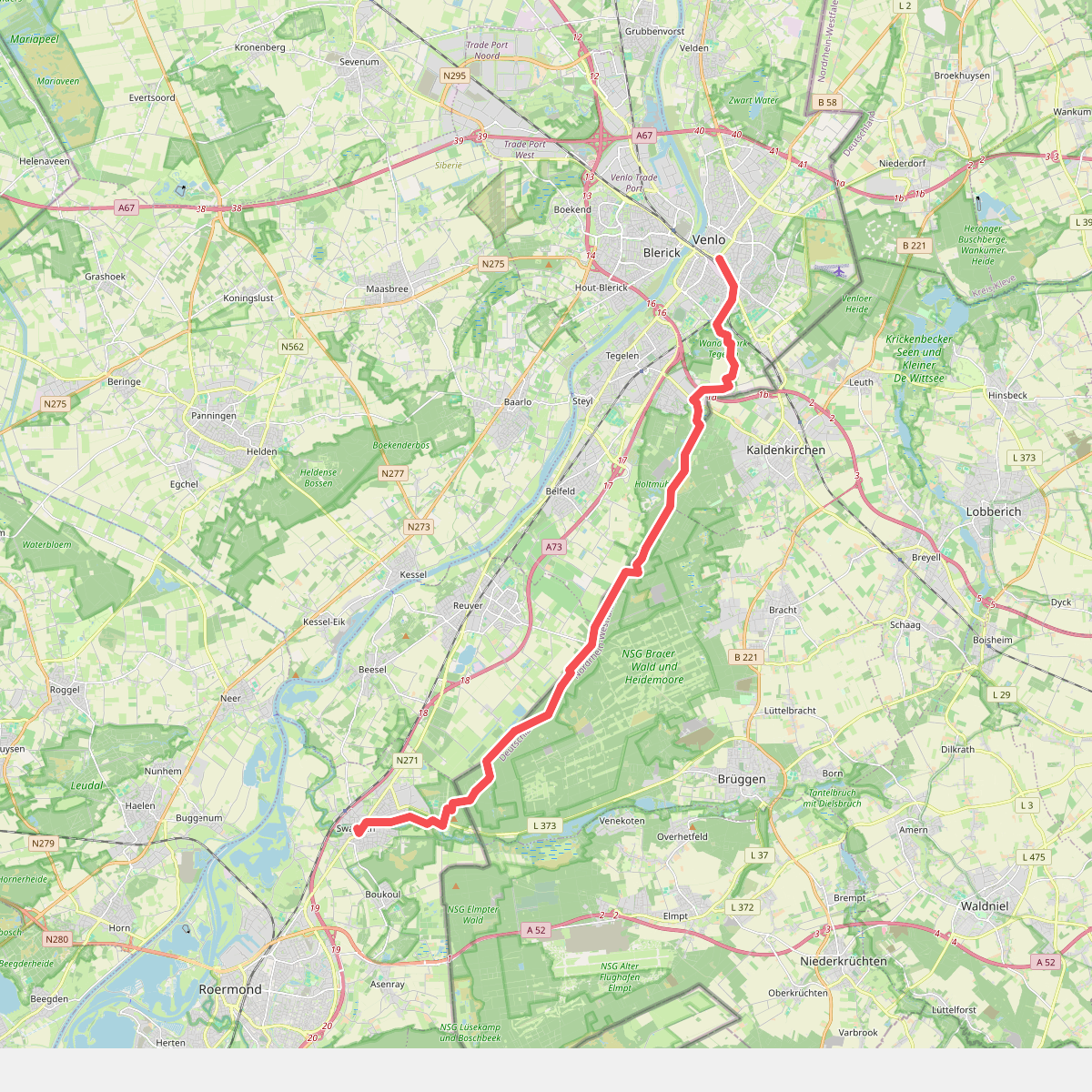
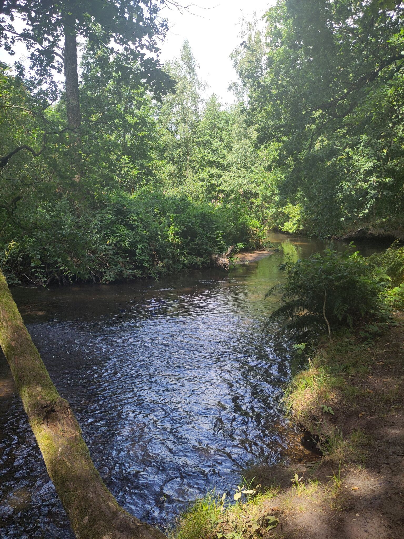
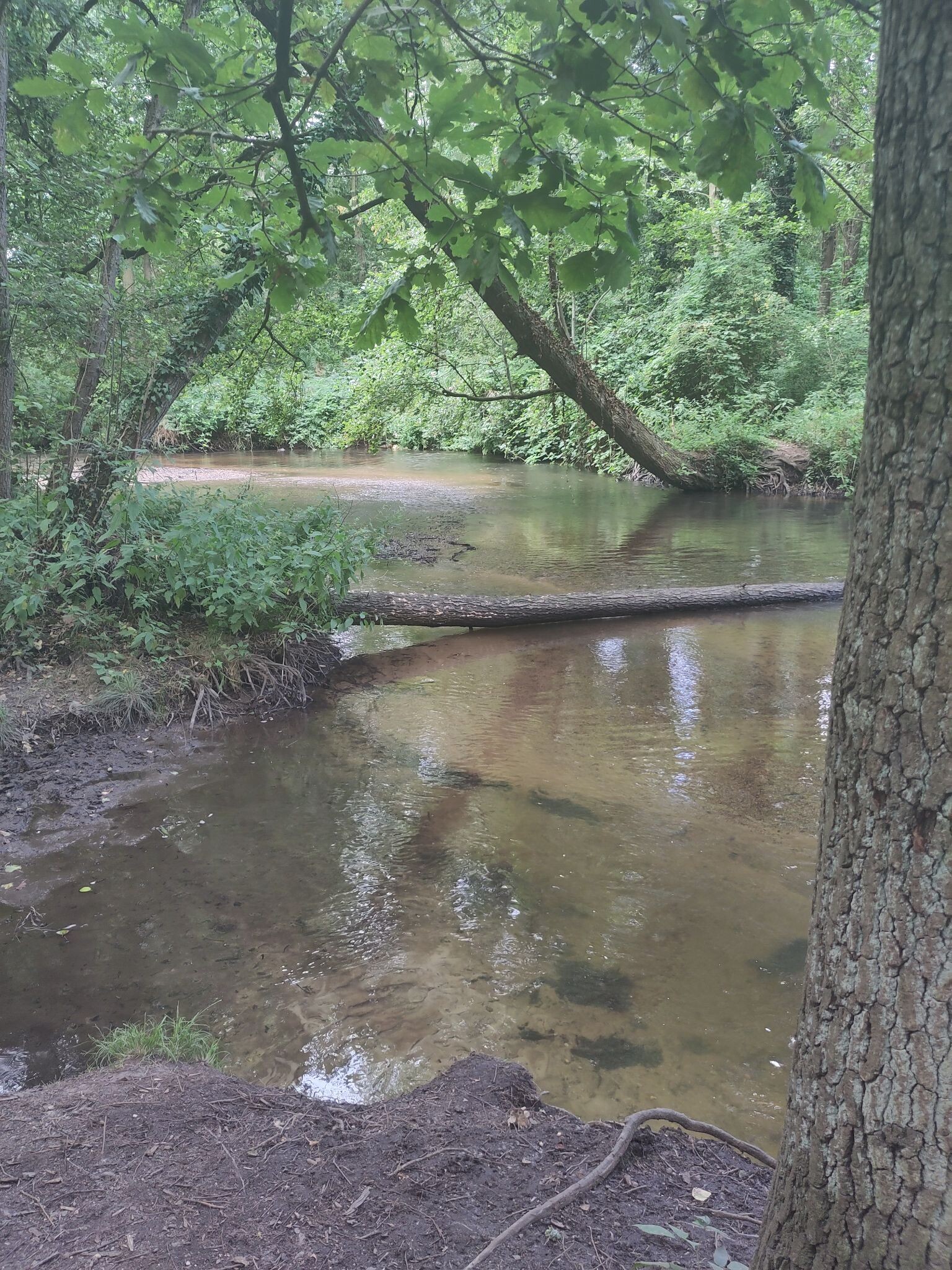
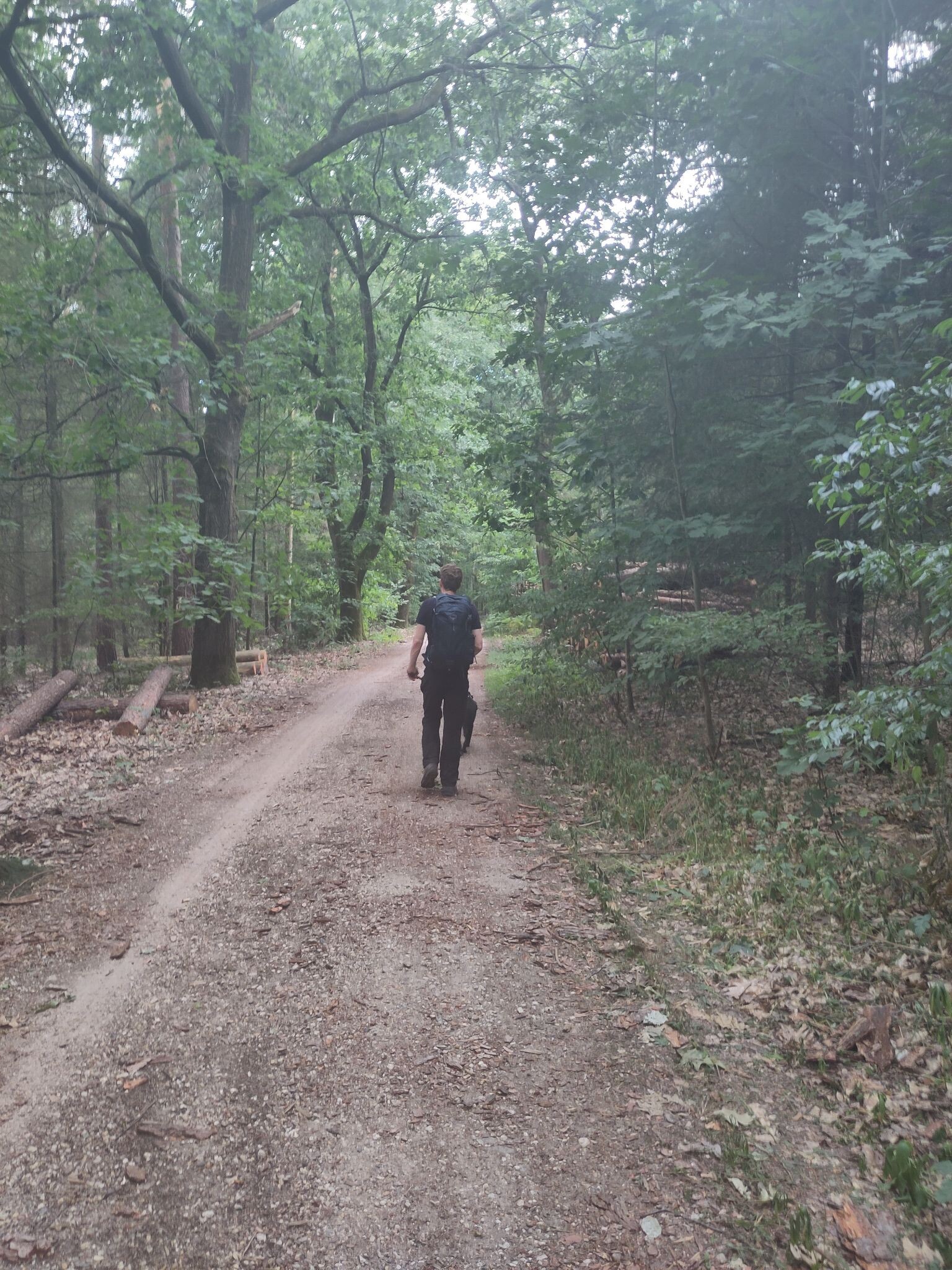
#5. Venlo - Swalmen · Pieterpad etappe 22
Venlo,Tegelen,Belfeld,Reuver,Beesel,Swalmen
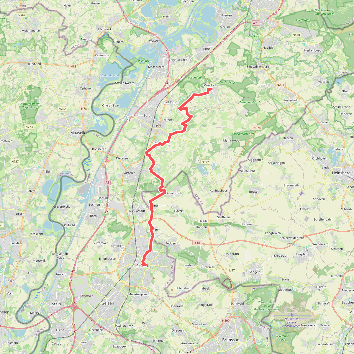
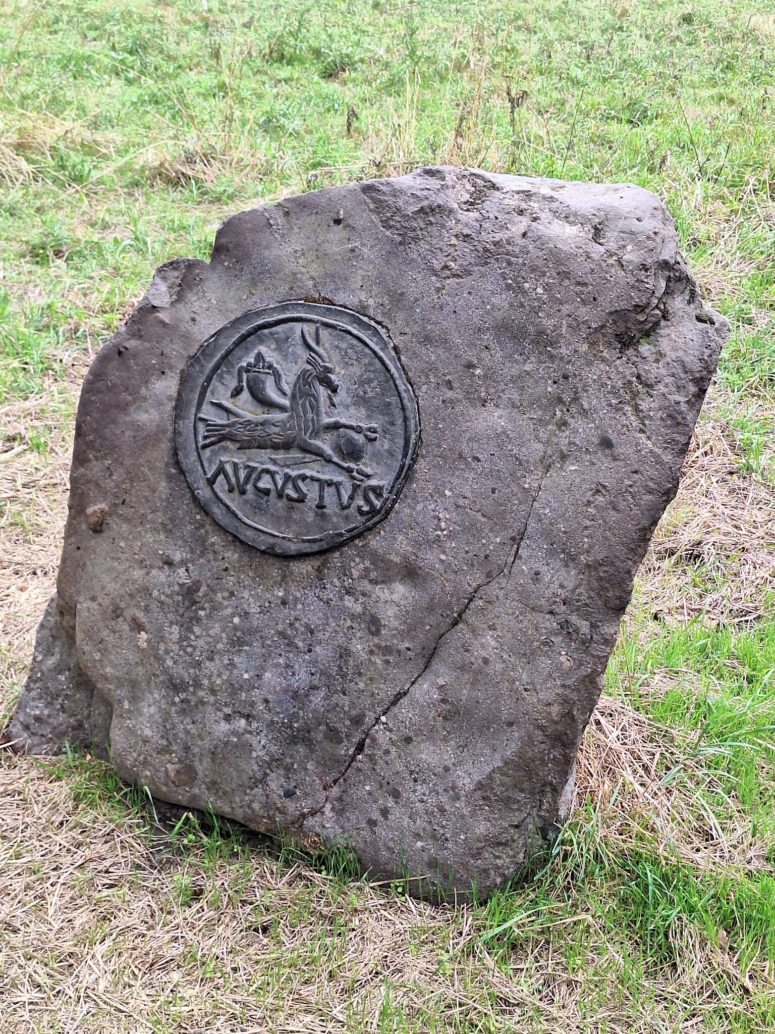

#6. Montfort - Sittard · Pieterpad etappe 24
Montfort,Sint Joost,Echt,Susteren,Nieuwstadt,Sittard
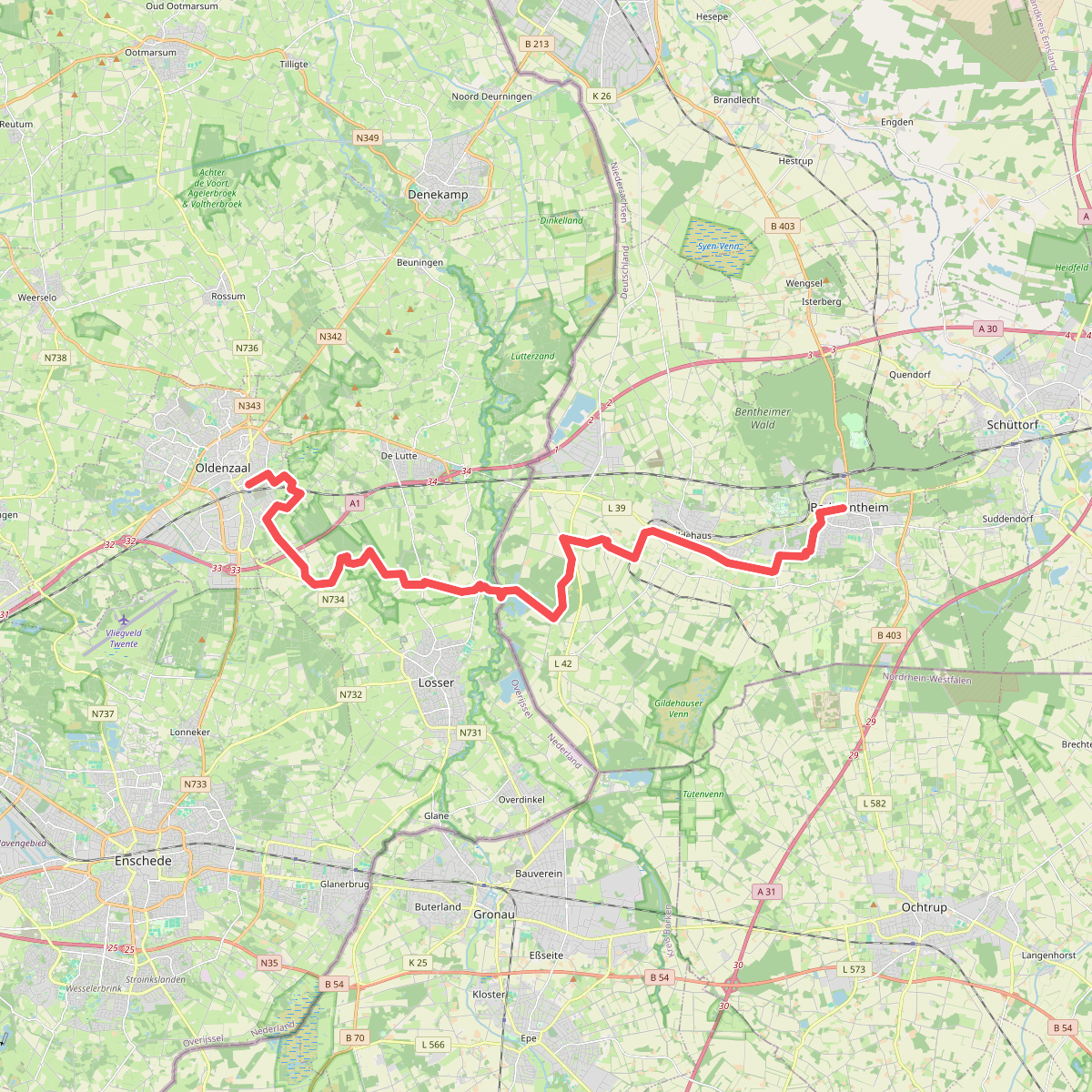
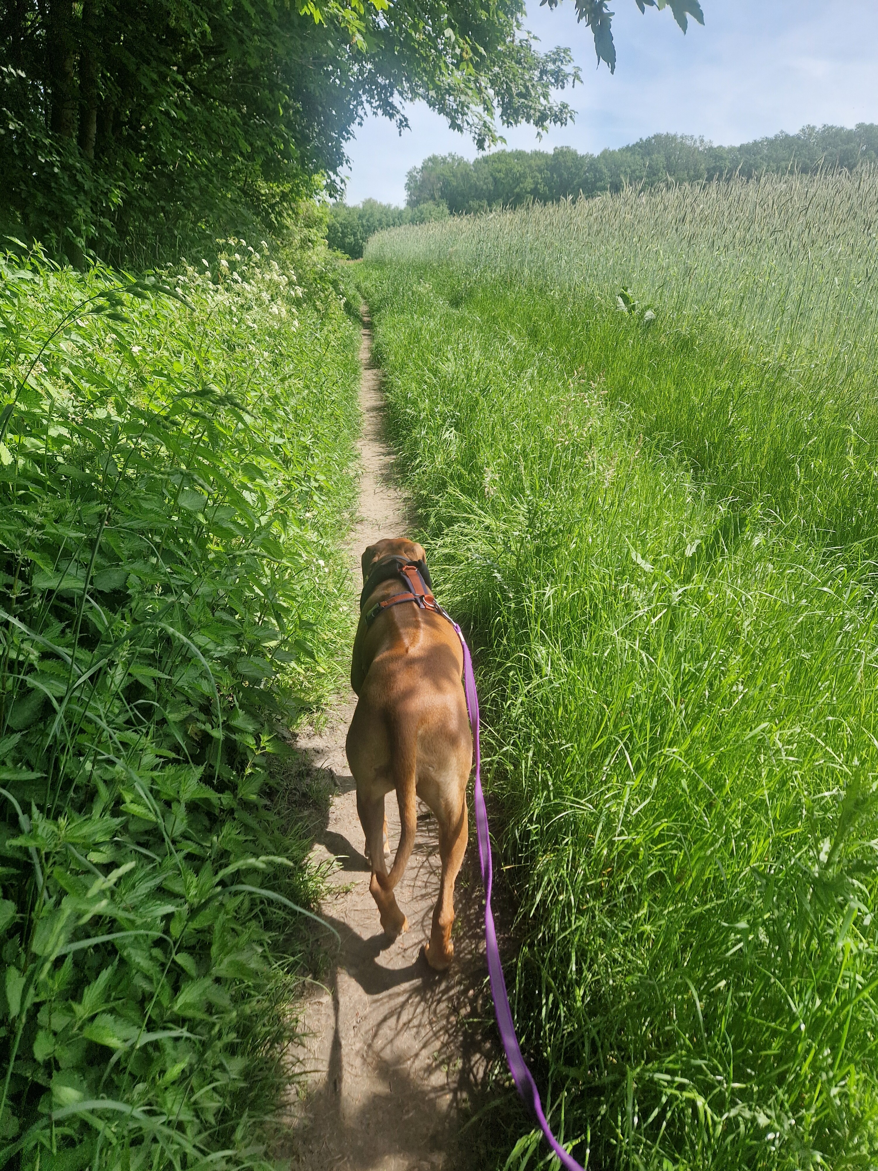
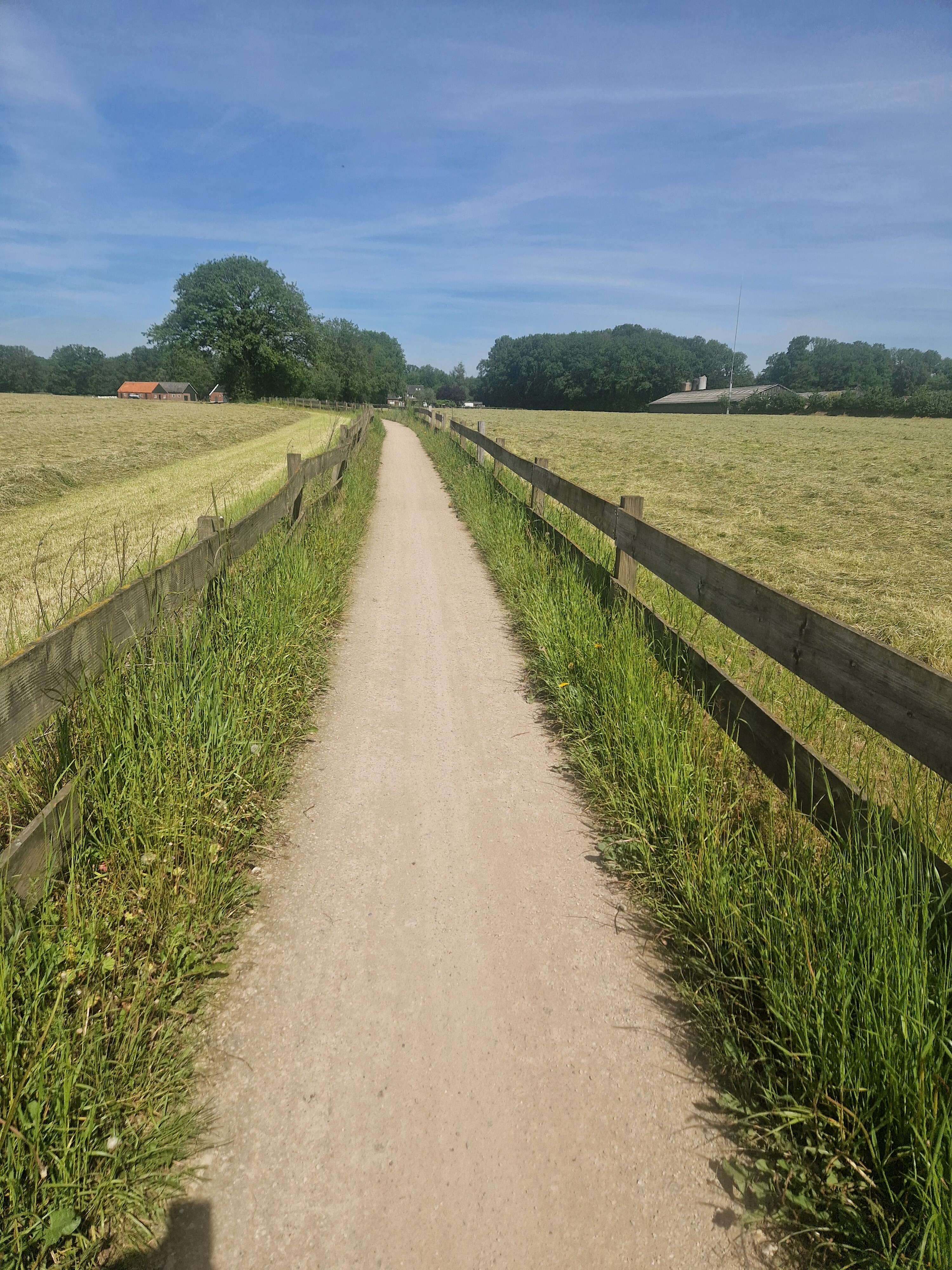
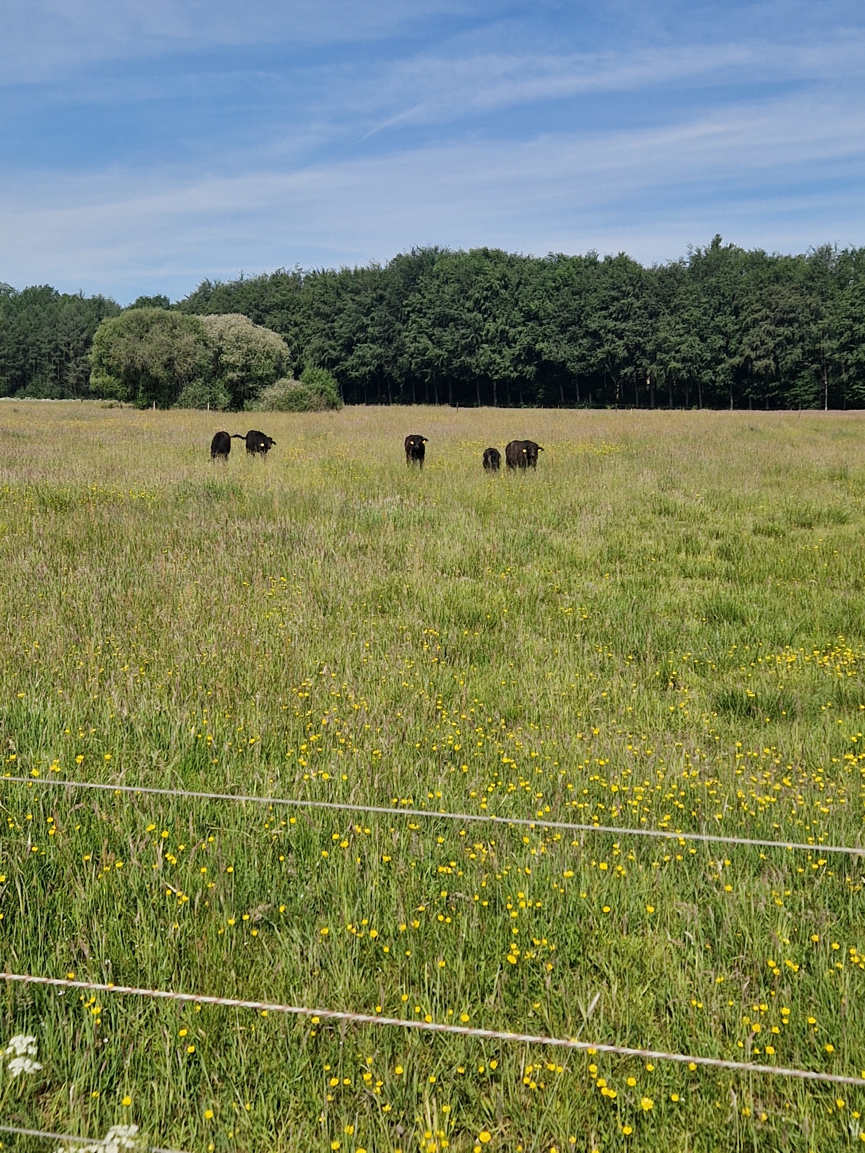
#7. Bad Bentheim - Oldenzaal · Marskramerpad etappe 1
Oldenzaal,de Lutte,Losser
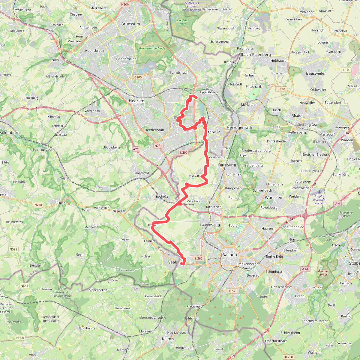
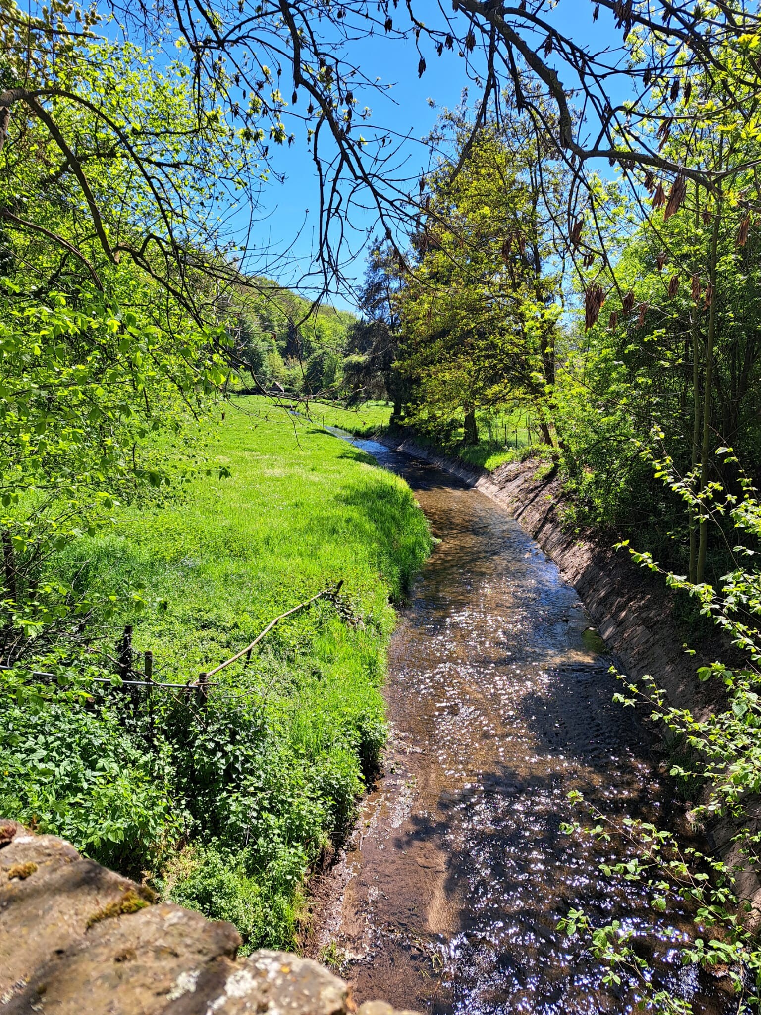
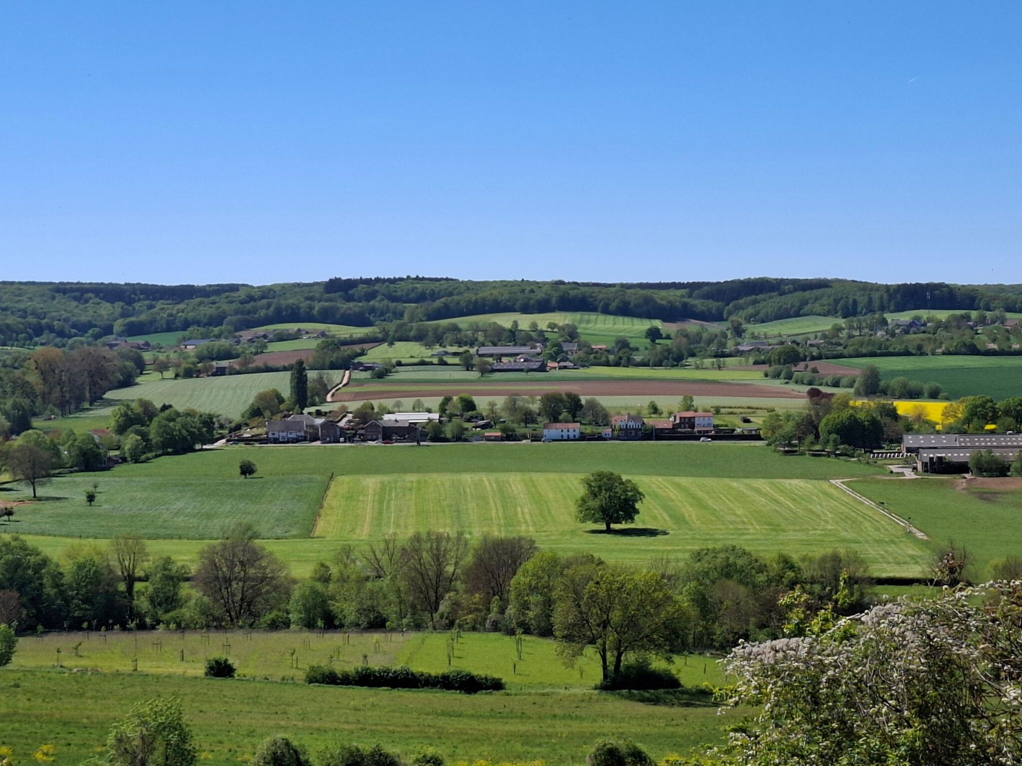
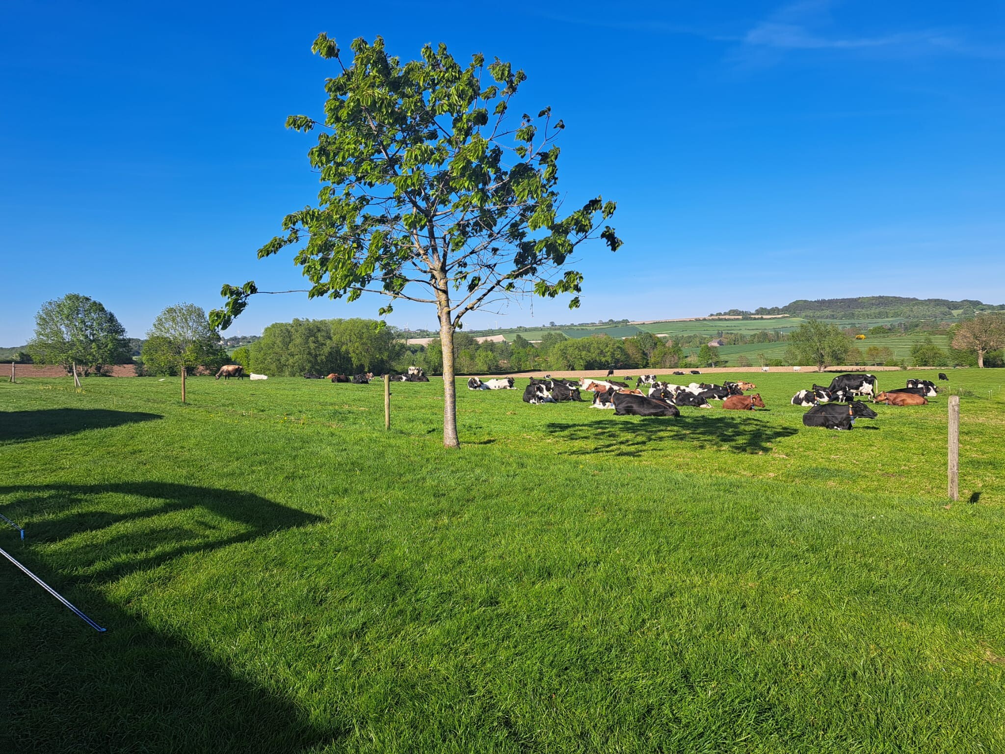
#8. Eygelshoven - Vaals · Dutch Mountain Trail etappe 1
Vaals,Lemiers,Bocholtz,Heerlen,Kerkrade,Landgraaf
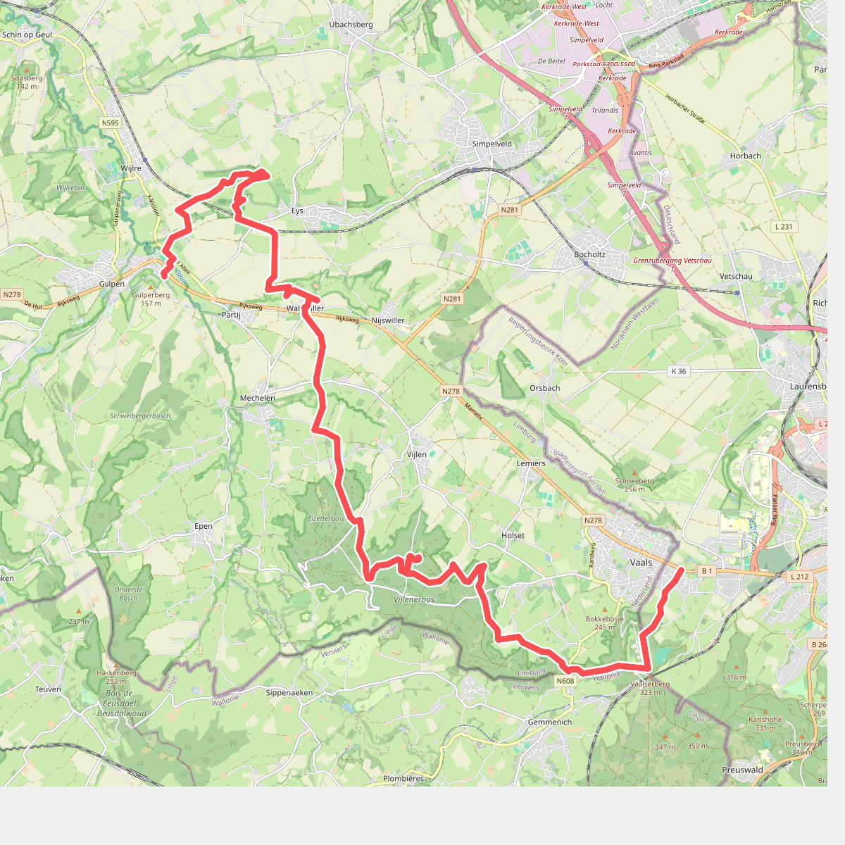
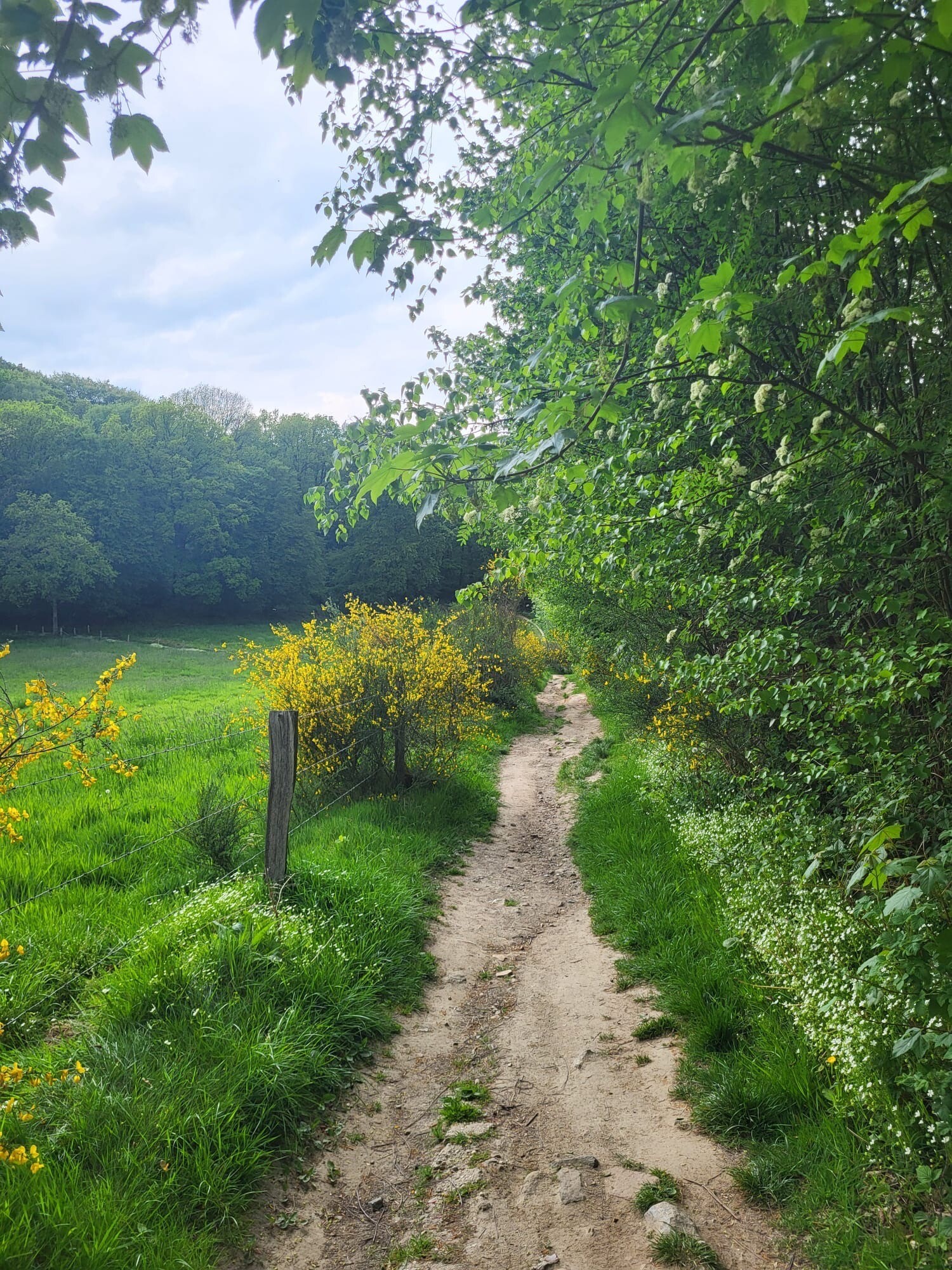
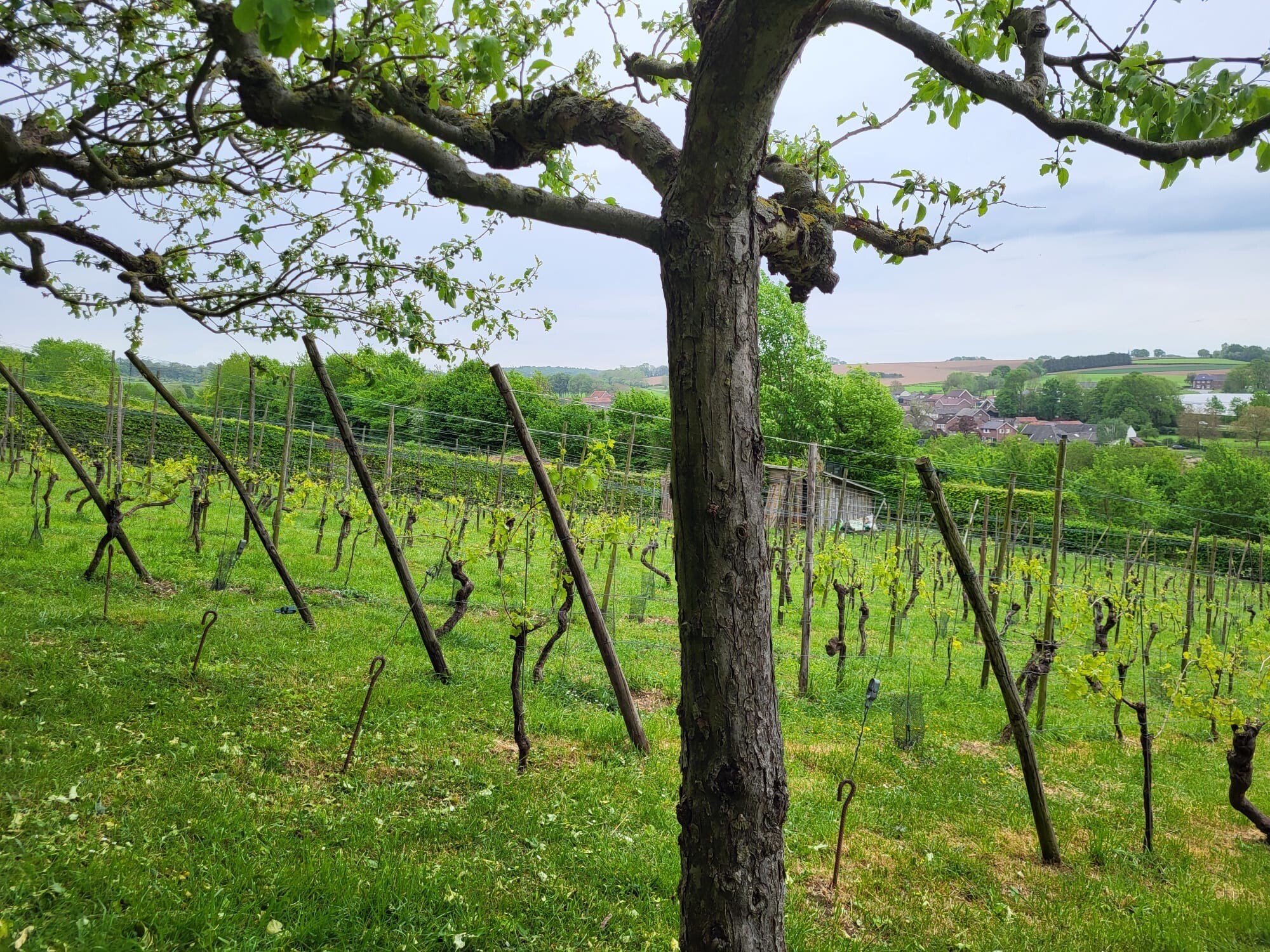
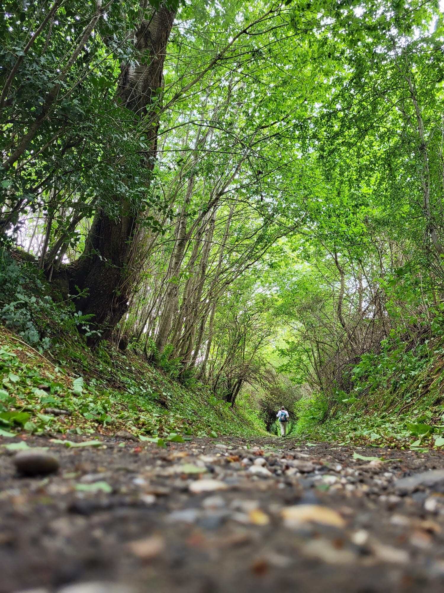
#9. Vaals - Gulpen · Dutch Mountain Trail etappe 2
Gulpen,Wijlre,Eys,Wittem,Mechelen,Vijlen,Vaals
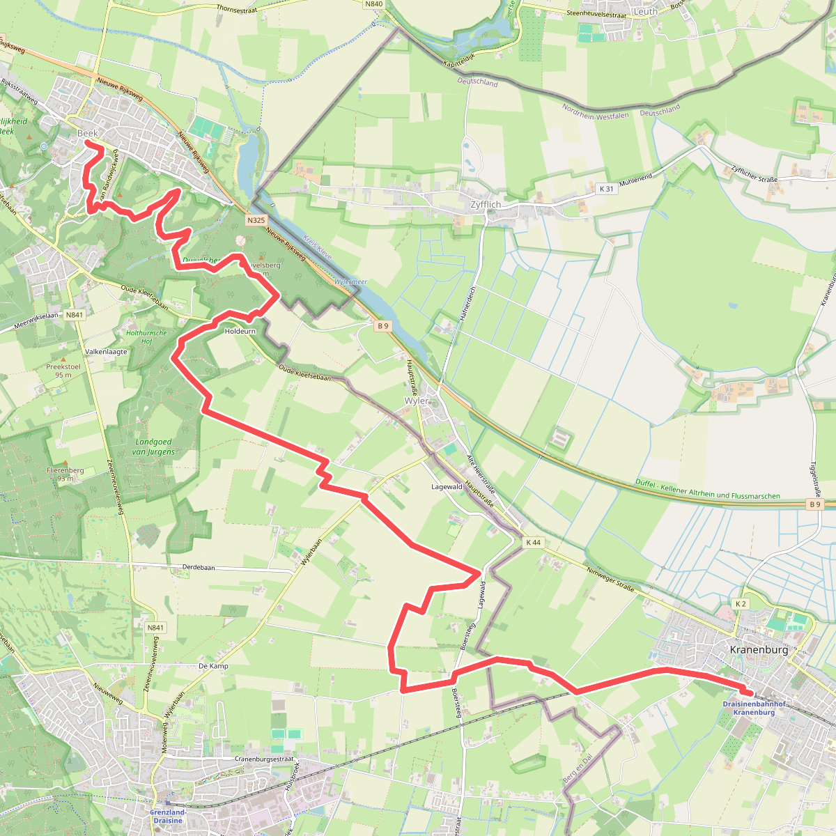
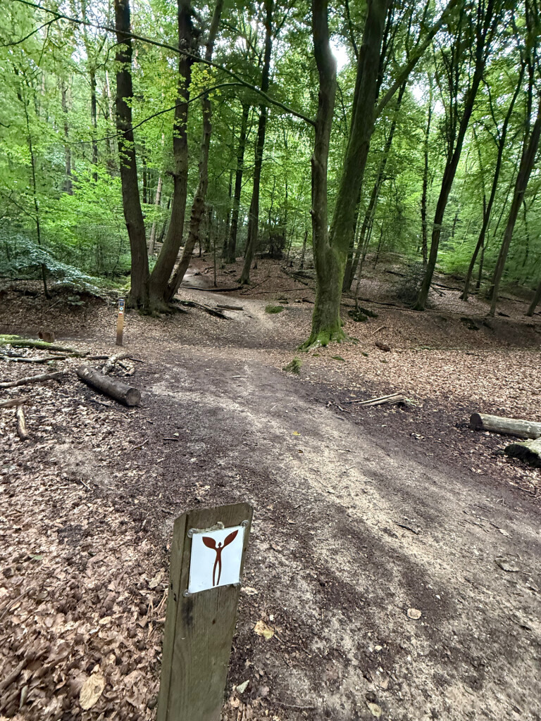
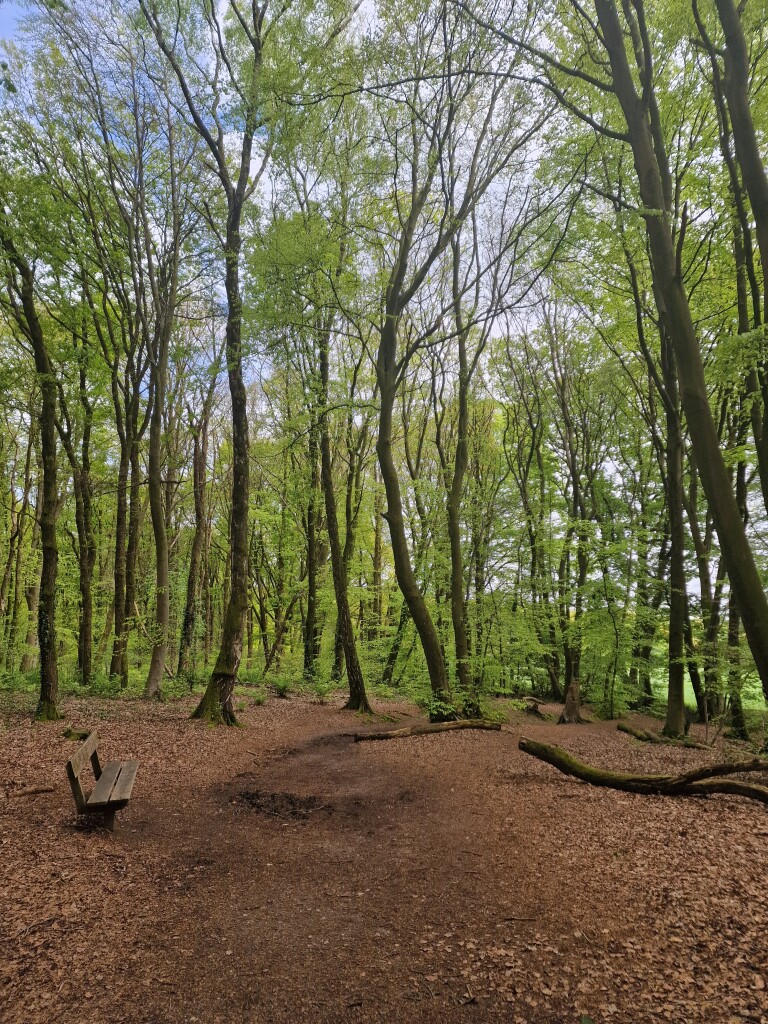
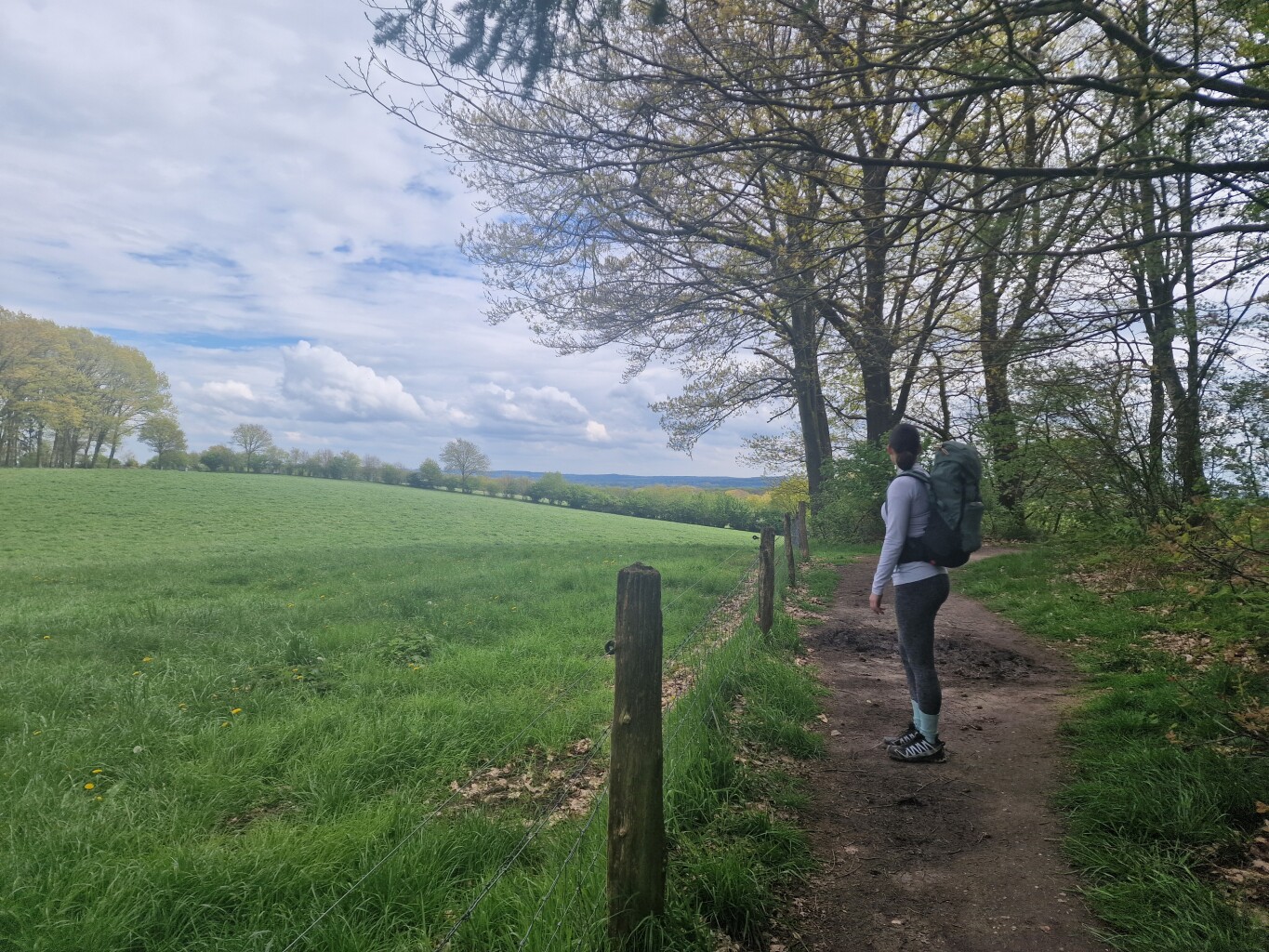
#10. Beek - Kranenburg (D) · Walk of Wisdom etappe 2
Groesbeek,Berg en Dal
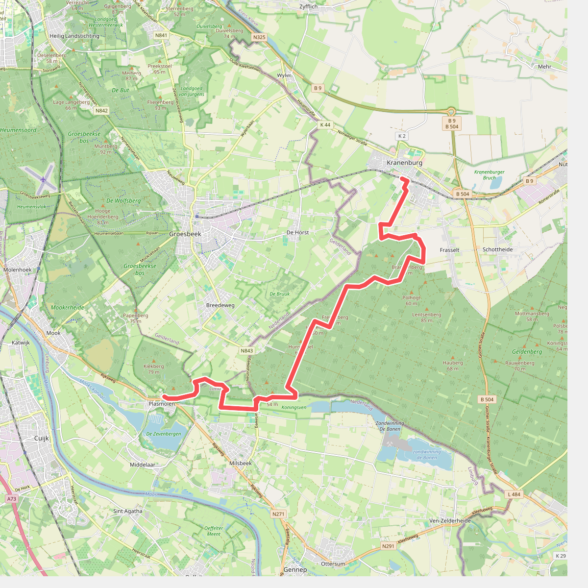
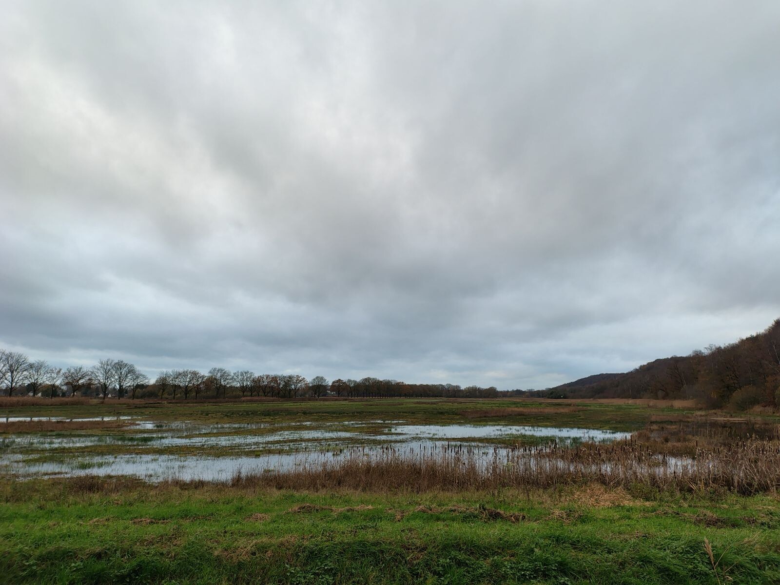
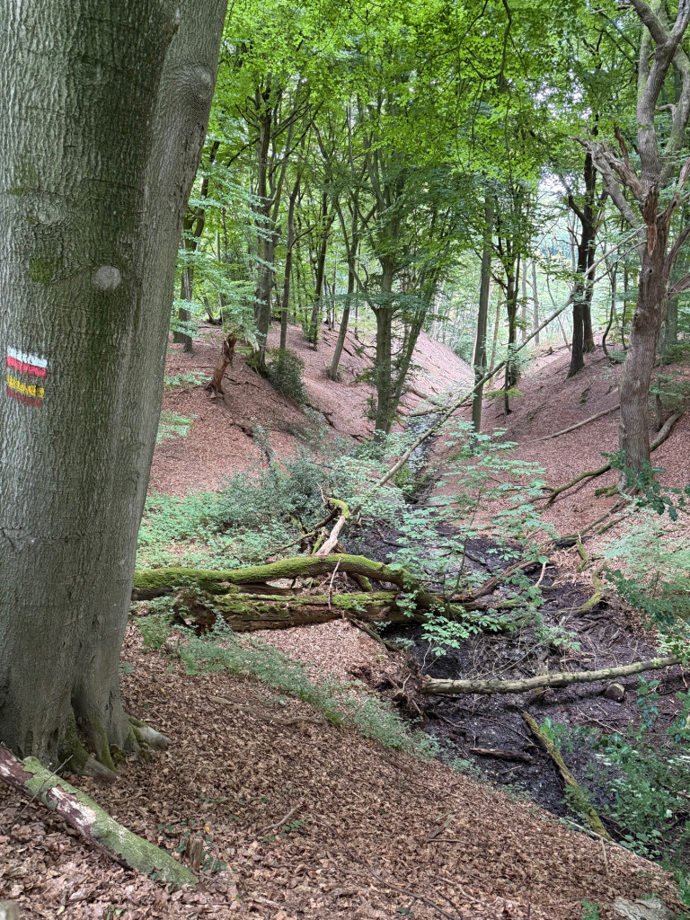
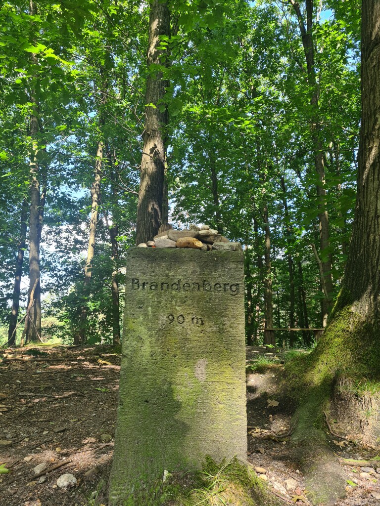
#11. Kranenburg (D) - Plasmolen · Walk of Wisdom etappe 3
Groesbeek,Milsbeek,Ottersum
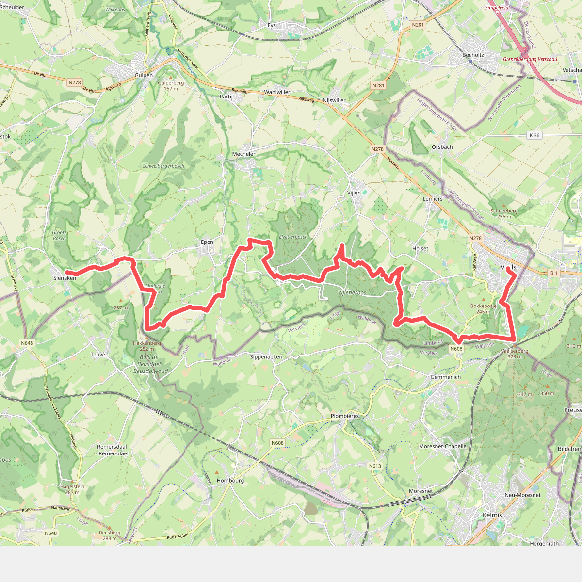
#12. Slenaken - Vaals · Krijtlandpad etappe 3
Vaals,Vijlen,Epen,Mechelen,Heijenrath,Slenaken



