The best hiking routes in ZSC Lago di Vico
Discover the best walks in ZSC Lago di Vico. 4 routes on the map, with descriptions, photos and GPX.
Managed by Regione Lazio
About ZSC Lago di Vico
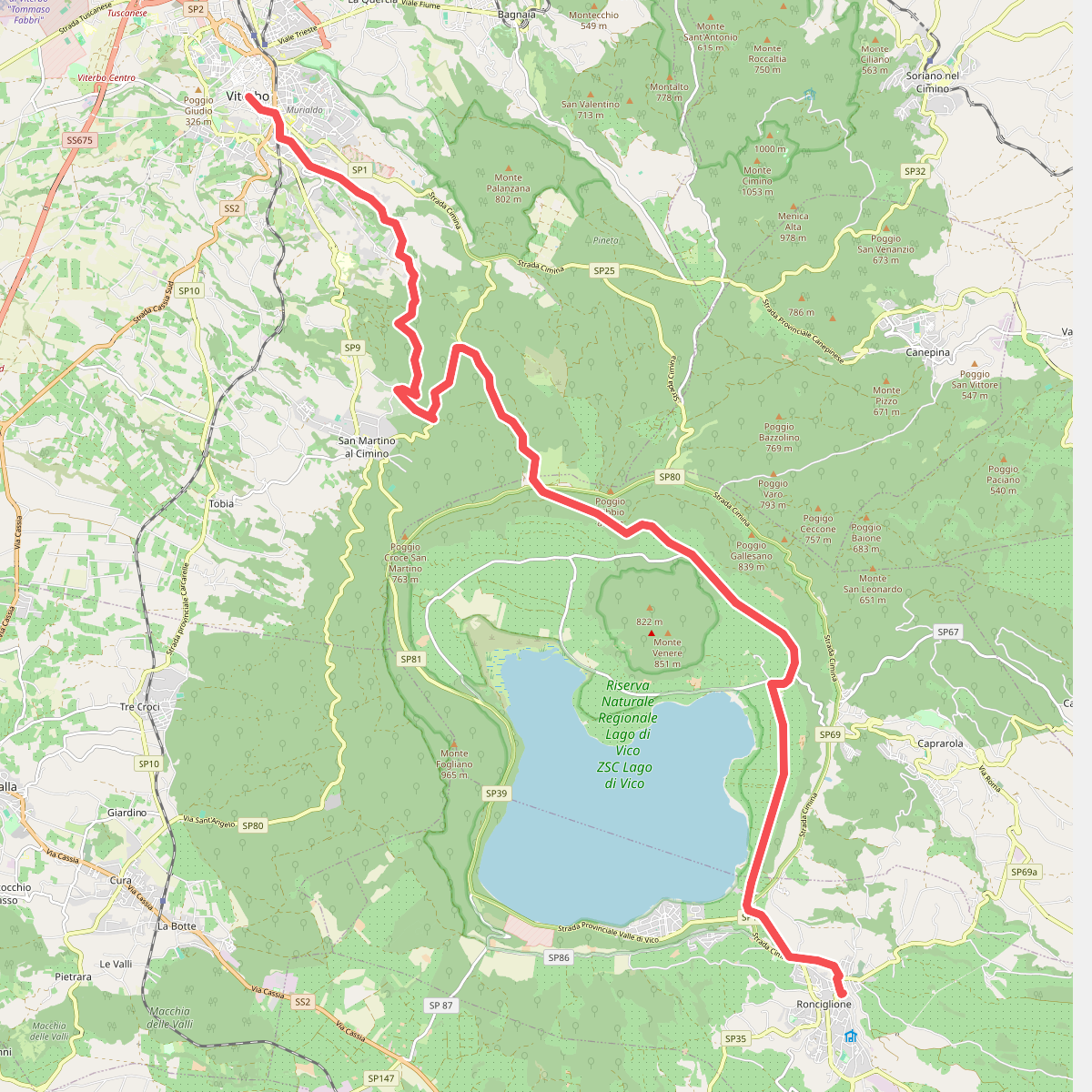
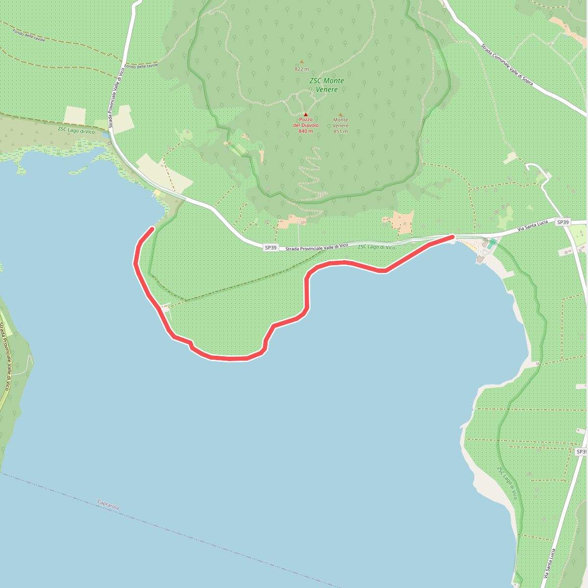
ZSC Lago di Vico is defined by its volcanic origin, where a collapsed caldera now holds a deep lake ringed by steep crater walls. Walking here means choosing between two distinct environments. The lower loop follows the flat, damp lakeshore, where the path runs through dense reed beds and marshy wetlands. In contrast, climbing the inner slopes of the crater takes you into a dense, ancient beech forest, where the canopy creates a dark, cool environment even in midsummer. This beech wood is notable for growing at a much lower altitude than usual, a result of the microclimate trapped within the volcanic basin.
Read more
About ZSC Lago di Vico
ZSC Lago di Vico is defined by its volcanic origin, where a collapsed caldera now holds a deep lake ringed by steep crater walls. Walking here means choosing between two distinct environments. The lower loop follows the flat, damp lakeshore, where the path runs through dense reed beds and marshy wetlands. In contrast, climbing the inner slopes of the crater takes you into a dense, ancient beech forest, where the canopy creates a dark, cool environment even in midsummer. This beech wood is notable for growing at a much lower altitude than usual, a result of the microclimate trapped within the volcanic basin.
Read moreZSC Lago di Vico is defined by its volcanic origin, where a collapsed caldera now holds a deep lake ringed by steep crater walls. Walking here means choosing between two distinct environments. The lower loop follows the flat, damp lakeshore, where the path runs through dense reed beds and marshy wetlands. In contrast, climbing the inner slopes of the crater takes you into a dense, ancient beech forest, where the canopy creates a dark, cool environment even in midsummer. This beech wood is notable for growing at a much lower altitude than usual, a result of the microclimate trapped within the volcanic basin.
Underfoot, the terrain changes quickly depending on your route. The shoreline paths consist of soft, dark volcanic sand and muddy lakeside soil, requiring careful stepping near the water margins. As you ascend into the forested crater walls, the ground shifts to a thick carpet of leaf litter over loose volcanic earth, with exposed tree roots crossing the steeper trails. There are no dramatic rocky peaks or open alpine meadows here; the landscape is intimate, enclosed by the crater rim and focused entirely inward toward the water.
In late October, the beech forest undergoes a sharp transition as the leaves turn copper, contrasting with the dark volcanic soil. The area is managed as a special area of conservation, meaning trails are kept simple rather than highly manicured. While the picnic spots near the southern shore attract local visitors on weekends, the steeper northern trails through the forest remains a quieter option for those looking to observe the natural structure of an ancient volcanic basin.