The best hiking routes in Zona Especial de Conservação do Estuário do Tejo
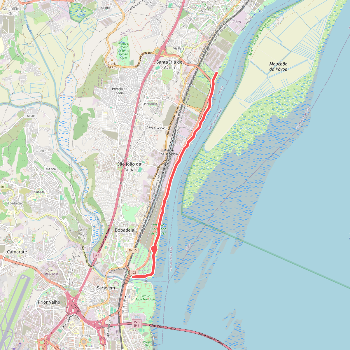
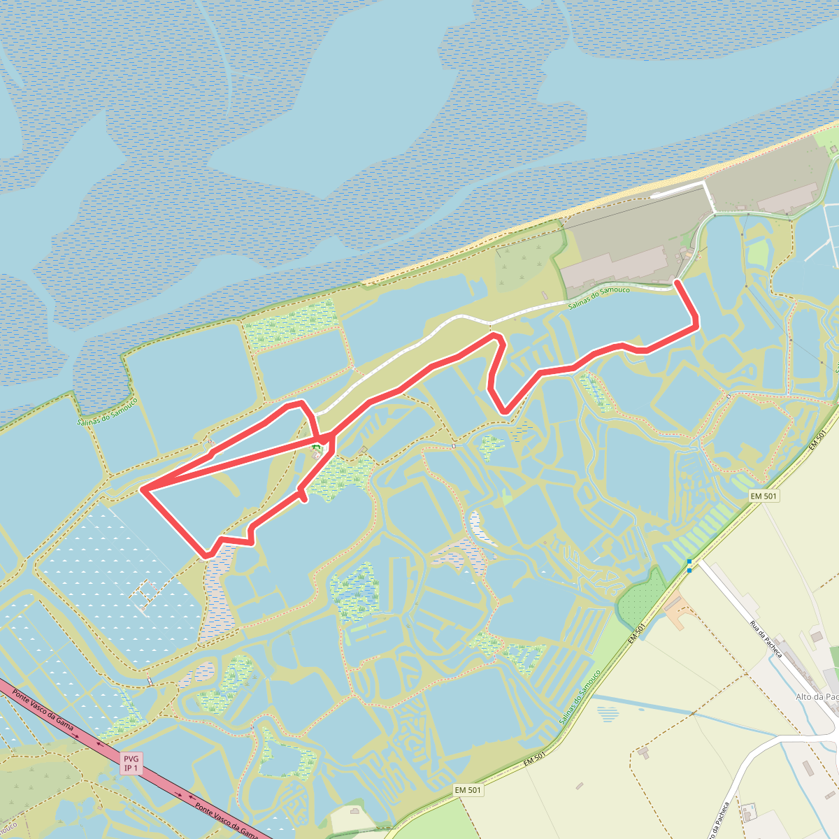
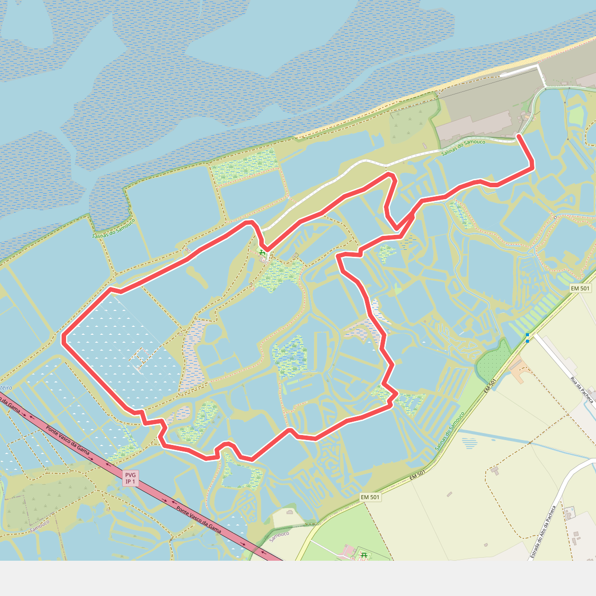
Discover the best walks in Zona Especial de Conservação do Estuário do Tejo. 3 routes on the map, with descriptions, photos and GPX.
Managed by Instituto da Conservação da Natureza e das Florestas
About Zona Especial de Conservação do Estuário do Tejo
The Zona Especial de Conservação do Estuário do Tejo covers a vast expanse of saltwater marshes, tidal mudflats, and agricultural alluvial plains just upstream from Lisbon. Walkers here will find a flat, open landscape shaped by the daily rise and fall of the Atlantic tide. The area is dominated by salt pans, reed beds, and pasture land where cattle graze, offering a stark contrast to the hilly, forested terrain found further inland.
Read more
About Zona Especial de Conservação do Estuário do Tejo
The Zona Especial de Conservação do Estuário do Tejo covers a vast expanse of saltwater marshes, tidal mudflats, and agricultural alluvial plains just upstream from Lisbon. Walkers here will find a flat, open landscape shaped by the daily rise and fall of the Atlantic tide. The area is dominated by salt pans, reed beds, and pasture land where cattle graze, offering a stark contrast to the hilly, forested terrain found further inland.
Read moreThe Zona Especial de Conservação do Estuário do Tejo covers a vast expanse of saltwater marshes, tidal mudflats, and agricultural alluvial plains just upstream from Lisbon. Walkers here will find a flat, open landscape shaped by the daily rise and fall of the Atlantic tide. The area is dominated by salt pans, reed beds, and pasture land where cattle graze, offering a stark contrast to the hilly, forested terrain found further inland.
Underfoot, the paths vary significantly depending on where you walk. The outer dikes and access tracks through the salt pans consist of packed clay and gravel, which can feel hard and dusty. In the wetter marsh interiors, the terrain transitions to soft mud and salt-tolerant vegetation, where walking is generally restricted to designated raised dirt banks to avoid disturbing the nesting birds. There are no boardwalk networks or signposted forest trails here, only long, straight utility tracks that follow the water channels.
This estuary is a critical stopover for migratory waterbirds, particularly during the winter months from November to February when thousands of flamingos and waders feed in the shallow waters. Because of the open nature of the dikes, there is no shelter from the elements, and the landscape remains completely exposed. It is a functional, working wetland where traditional salt extraction and shellfish gathering still take place alongside conservation efforts.