The best hiking routes in Zona de protección de la Reserva Natural Laguna de Fuente de Piedra
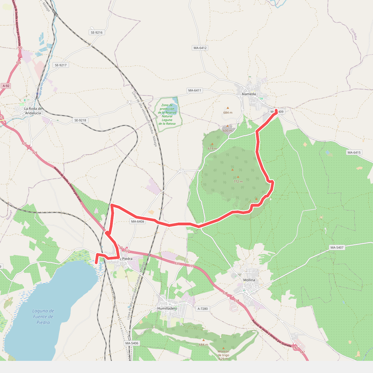
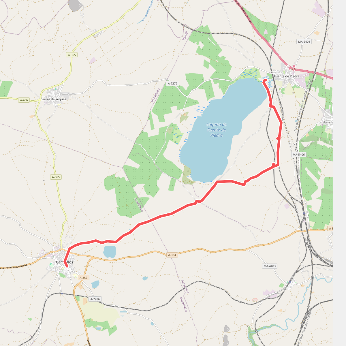
Discover the best walks in Zona de protección de la Reserva Natural Laguna de Fuente de Piedra. 2 routes on the map, with descriptions, photos and GPX.
About Zona de protección de la Reserva Natural Laguna de Fuente de Piedra
The Zona de protección de la Reserva Natural Laguna de Fuente de Piedra is a flat, open saline wetland dominated by Spain's largest natural lake. Unlike deep freshwater reservoirs, this is a shallow, highly mineralised basin where the water level fluctuates dramatically, often leaving vast white salt crusts exposed by July. Walkers will find a landscape of low-lying scrub, salt-tolerant vegetation, and agricultural fields of olive trees and grain bordering the protected zone. The terrain is entirely flat, offering no elevation gain or rocky ridges, but providing clear views across the water to observe the breeding colonies of greater flamingos.
Read more
About Zona de protección de la Reserva Natural Laguna de Fuente de Piedra
The Zona de protección de la Reserva Natural Laguna de Fuente de Piedra is a flat, open saline wetland dominated by Spain's largest natural lake. Unlike deep freshwater reservoirs, this is a shallow, highly mineralised basin where the water level fluctuates dramatically, often leaving vast white salt crusts exposed by July. Walkers will find a landscape of low-lying scrub, salt-tolerant vegetation, and agricultural fields of olive trees and grain bordering the protected zone. The terrain is entirely flat, offering no elevation gain or rocky ridges, but providing clear views across the water to observe the breeding colonies of greater flamingos.
Read moreThe Zona de protección de la Reserva Natural Laguna de Fuente de Piedra is a flat, open saline wetland dominated by Spain's largest natural lake. Unlike deep freshwater reservoirs, this is a shallow, highly mineralised basin where the water level fluctuates dramatically, often leaving vast white salt crusts exposed by July. Walkers will find a landscape of low-lying scrub, salt-tolerant vegetation, and agricultural fields of olive trees and grain bordering the protected zone. The terrain is entirely flat, offering no elevation gain or rocky ridges, but providing clear views across the water to observe the breeding colonies of greater flamingos.
Underfoot, the walking infrastructure consists of designated dirt tracks, gravel paths, and wooden boardwalks that lead to elevated observation hides. Leaving the marked trails is strictly prohibited to protect the nesting birds and fragile lakeside soil. The ground off the main paths is sticky clay and salt-marsh silt, which is highly sensitive to erosion. While the main visitor centre area near the northern shore can attract birdwatchers during the spring nesting season, the peripheral tracks along the olive groves offer a much quieter, agricultural perspective of the lake's basin.
Choosing to walk here means trading varied forest trails for a specialized wetland habitat. There are no shaded woodland canopies or running streams, only the stark, sun-baked expanse of the salt lake. The experience is defined by the presence or absence of water, which shapes the bird populations and the appearance of the salt flats. It is a destination suited for slow, observant walking focused on ornithology rather than a challenging physical hike.