The best hiking routes in Zona de Proteção Especial dos Rios Sabor e Maçãs
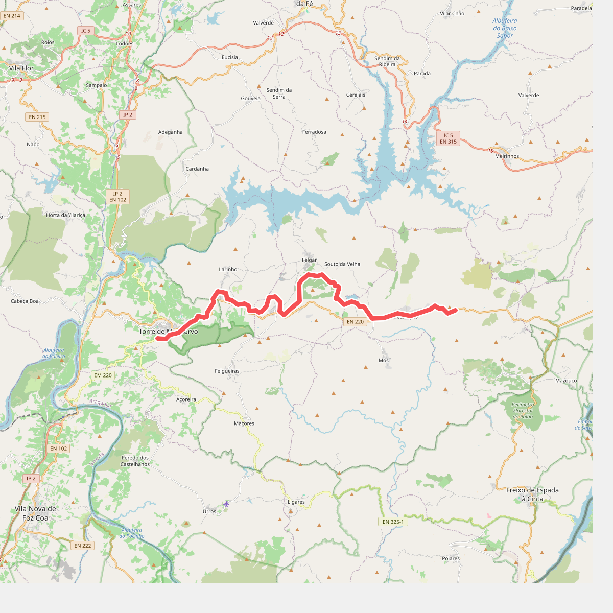
Discover the best walks in Zona de Proteção Especial dos Rios Sabor e Maçãs. 1 routes on the map, with descriptions, photos and GPX.
Managed by ICNF
About Zona de Proteção Especial dos Rios Sabor e Maçãs
The Zona de Proteção Especial dos Rios Sabor e Maçãs is defined by the deep, rocky gorges carved by the Sabor and Maçãs rivers. Unlike the flatter agricultural plateaus of northeastern Portugal, this protected area is characterized by steep, schistose slopes and rugged canyon walls. The terrain is dominated by Mediterranean scrub, holm oaks, and olive groves, with the riverbeds creating narrow corridors of riparian vegetation. Underfoot, walkers will encounter a mix of rough, stony tracks, loose shale, and steep dirt paths that require careful footing.
Read more
About Zona de Proteção Especial dos Rios Sabor e Maçãs
The Zona de Proteção Especial dos Rios Sabor e Maçãs is defined by the deep, rocky gorges carved by the Sabor and Maçãs rivers. Unlike the flatter agricultural plateaus of northeastern Portugal, this protected area is characterized by steep, schistose slopes and rugged canyon walls. The terrain is dominated by Mediterranean scrub, holm oaks, and olive groves, with the riverbeds creating narrow corridors of riparian vegetation. Underfoot, walkers will encounter a mix of rough, stony tracks, loose shale, and steep dirt paths that require careful footing.
Read moreThe Zona de Proteção Especial dos Rios Sabor e Maçãs is defined by the deep, rocky gorges carved by the Sabor and Maçãs rivers. Unlike the flatter agricultural plateaus of northeastern Portugal, this protected area is characterized by steep, schistose slopes and rugged canyon walls. The terrain is dominated by Mediterranean scrub, holm oaks, and olive groves, with the riverbeds creating narrow corridors of riparian vegetation. Underfoot, walkers will encounter a mix of rough, stony tracks, loose shale, and steep dirt paths that require careful footing.
The landscape reflects centuries of traditional, low-intensity farming, with ancient stone terraces clinging to the valley sides and traditional dovecotes dotting the hillsides. The construction of the Baixo Sabor dam has altered parts of the valley floor, turning some fast-flowing river sections into still reservoirs, which you will see from the high trail vantage points. This creates a stark contrast between the flooded valley bottoms and the dry, sun-baked upper slopes.
Walking here is a rugged, solitary experience, lacking the gentle, grassy meadows or extensive signposted boardwalk networks found in coastal reserves. The paths are often demanding and exposed, with little shade during the hot summer months of July and August. It is a landscape suited for those who prefer undeveloped, rocky river valleys and are prepared for steep ascents on uneven, stony ground.