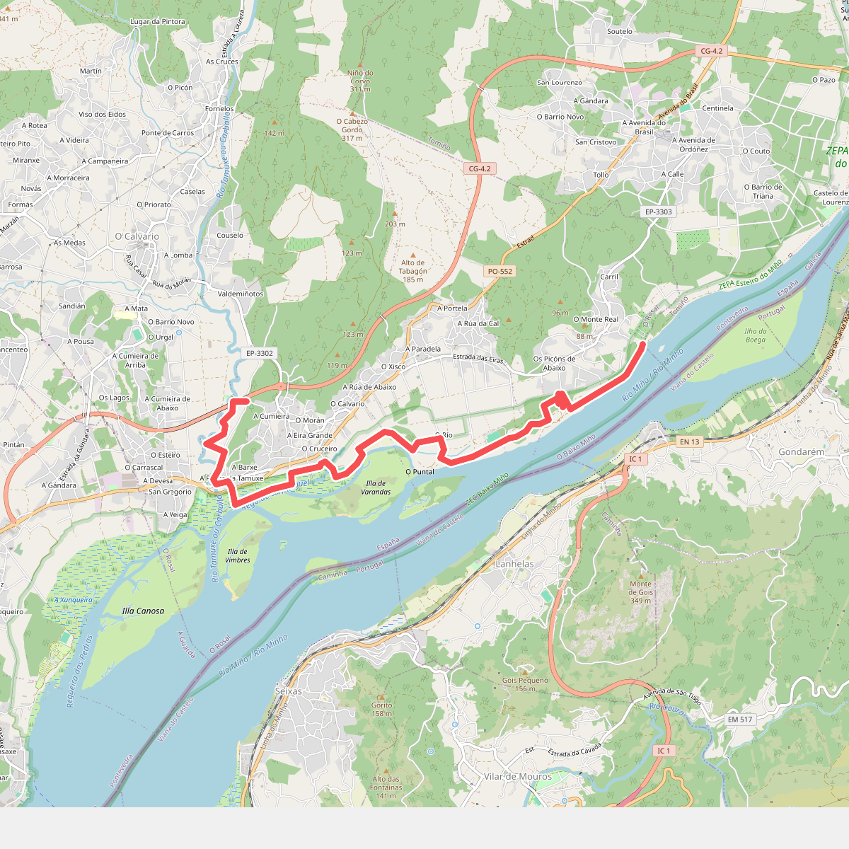
The best hiking routes in Zona de Proteção Especial dos Estuários dos rios Minho e Coura
Discover the best walks in Zona de Proteção Especial dos Estuários dos rios Minho e Coura. 13 routes on the map, with descriptions, photos and GPX.
Managed by ICNF
About Zona de Proteção Especial dos Estuários dos rios Minho e Coura
The Zona de Proteção Especial dos Estuários dos rios Minho e Coura is a flat, brackish estuarine landscape where the freshwater of the Minho and Coura rivers meets the Atlantic tides. Unlike the rugged cliffs of the nearby northern Portuguese coast, this protected area is defined by wide salt marshes, alluvial plains, and tidal mudflats. Walkers will find a low-lying terrain dominated by reeds, rushes, and salt-tolerant vegetation, shaped entirely by the daily rise and fall of the river levels.
Read more
About Zona de Proteção Especial dos Estuários dos rios Minho e Coura
The Zona de Proteção Especial dos Estuários dos rios Minho e Coura is a flat, brackish estuarine landscape where the freshwater of the Minho and Coura rivers meets the Atlantic tides. Unlike the rugged cliffs of the nearby northern Portuguese coast, this protected area is defined by wide salt marshes, alluvial plains, and tidal mudflats. Walkers will find a low-lying terrain dominated by reeds, rushes, and salt-tolerant vegetation, shaped entirely by the daily rise and fall of the river levels.
Read moreThe Zona de Proteção Especial dos Estuários dos rios Minho e Coura is a flat, brackish estuarine landscape where the freshwater of the Minho and Coura rivers meets the Atlantic tides. Unlike the rugged cliffs of the nearby northern Portuguese coast, this protected area is defined by wide salt marshes, alluvial plains, and tidal mudflats. Walkers will find a low-lying terrain dominated by reeds, rushes, and salt-tolerant vegetation, shaped entirely by the daily rise and fall of the river levels.
Underfoot, the paths vary from firm dirt tracks along the agricultural edges to wooden boardwalks designed to keep you above the wettest parts of the marshland. In some sections, the trail transitions into soft sand or muddy clay, especially closer to the water channels. The landscape is highly open, offering views across the wide river channels and the low islands, known as mouchões, which are often covered in dense riparian scrub.
This area is not a place for hill walking or dramatic coastal cliffs, as the elevation remains virtually at sea level throughout. Instead, it offers a slow-paced, horizontal landscape where you can observe the transition from riverine woodland to salt marsh. In winter months, particularly around January, the mudflats become major feeding grounds for migratory wading birds, which are easily visible from the dikes and shoreline paths.
Hiking routes in Zona de Proteção Especial dos Estuários dos rios Minho e Coura (13)
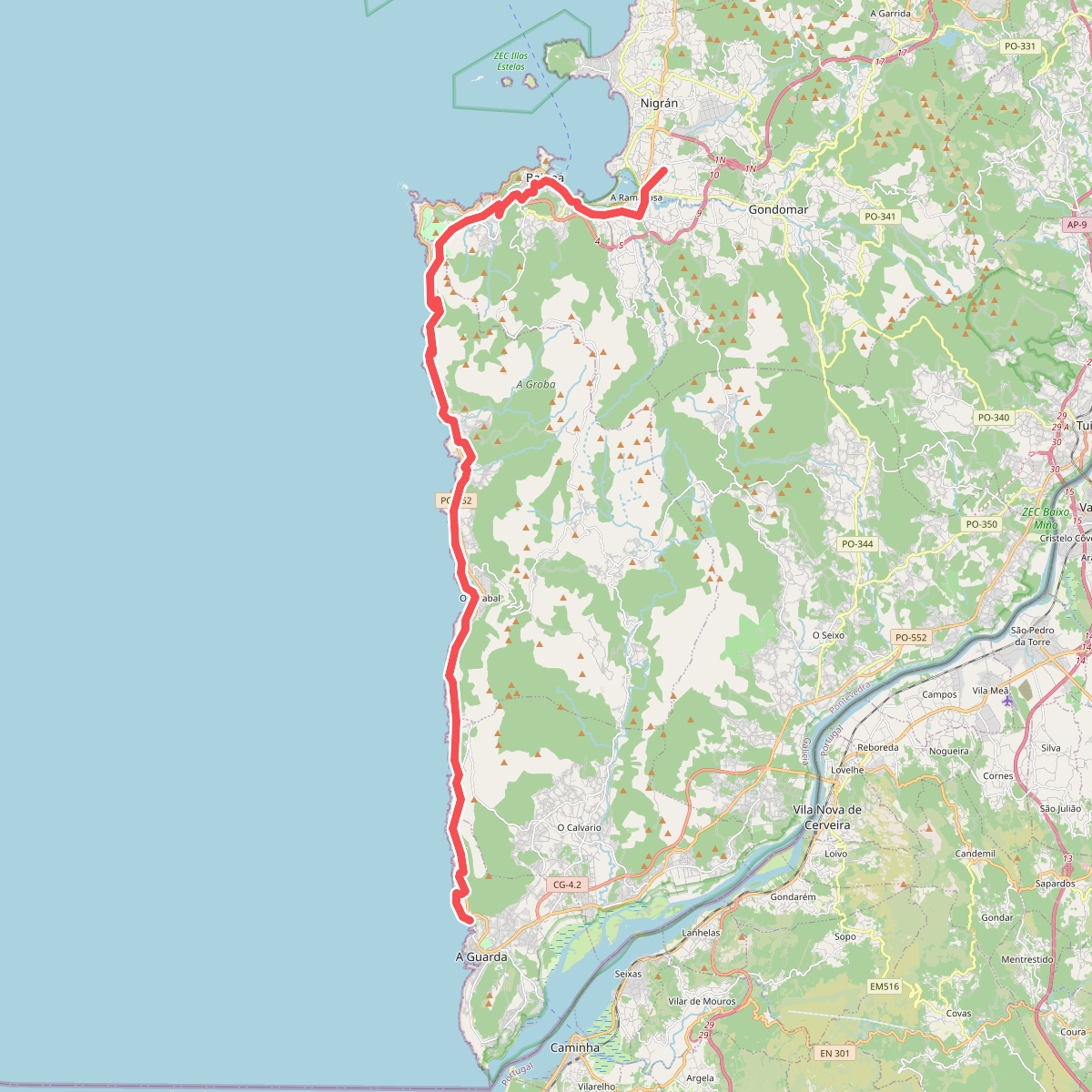
#1. Caminho Português da Costa (A Guarda - A Ramalosa)
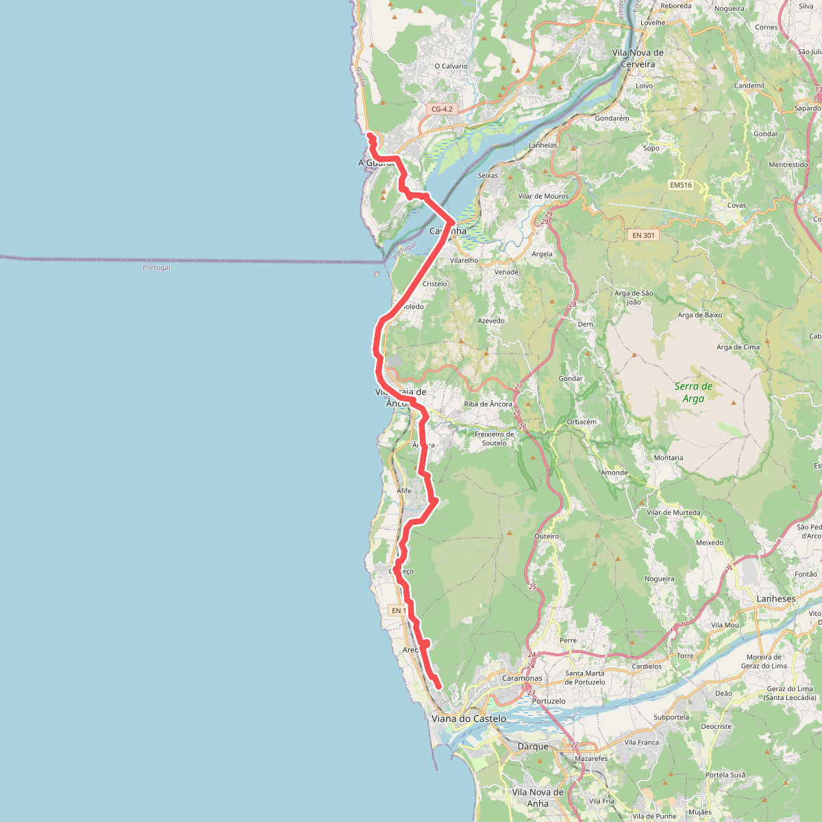
#2. Caminho Português da Costa (Viana do Castelo - A Guarda)
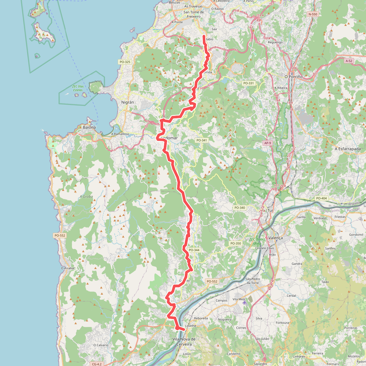
#3. Caminho Português de Nossa Senhora do Norte
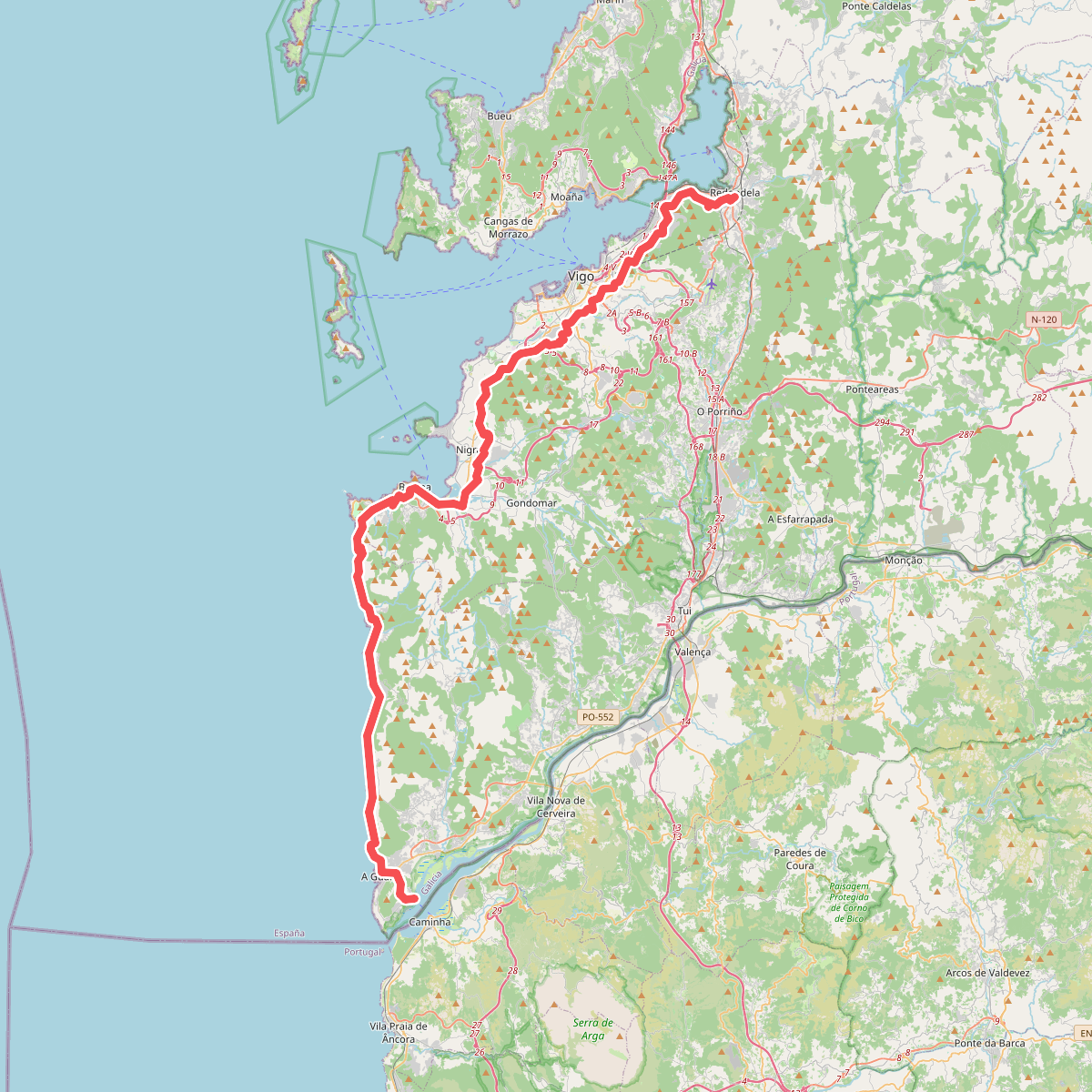
#4. Caminho Português de Santiago
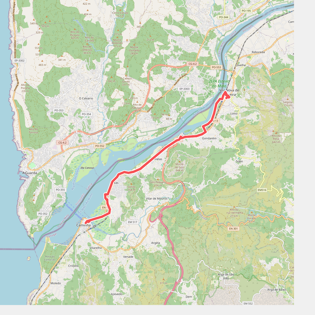
#5. Camino Caminha - Vila Nova de Cerveira
Caminha,Vila Nova de Cerveira
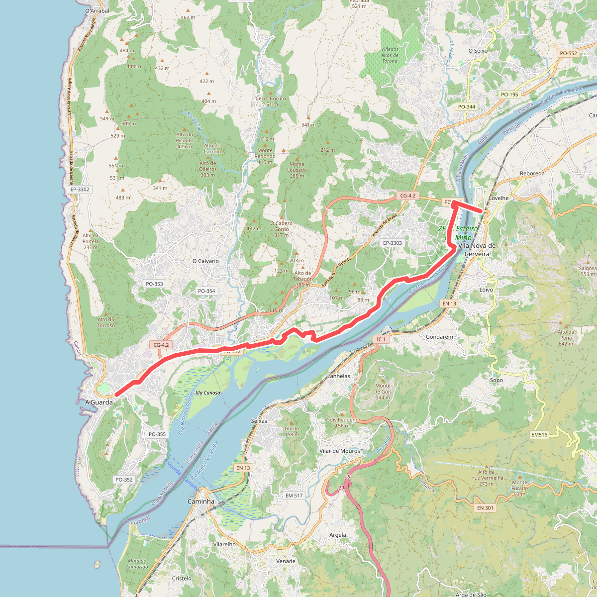
#6. Camiño Portugués da Costa
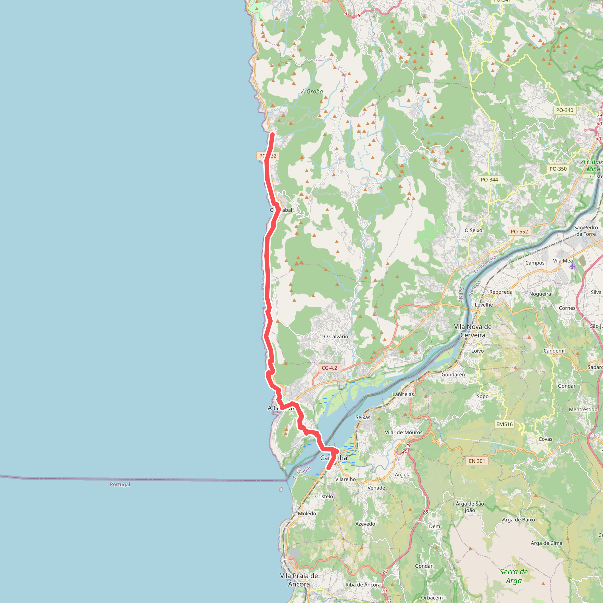
#7. Camino Portuguese da costa Caminha - Viladesuso
Caminha
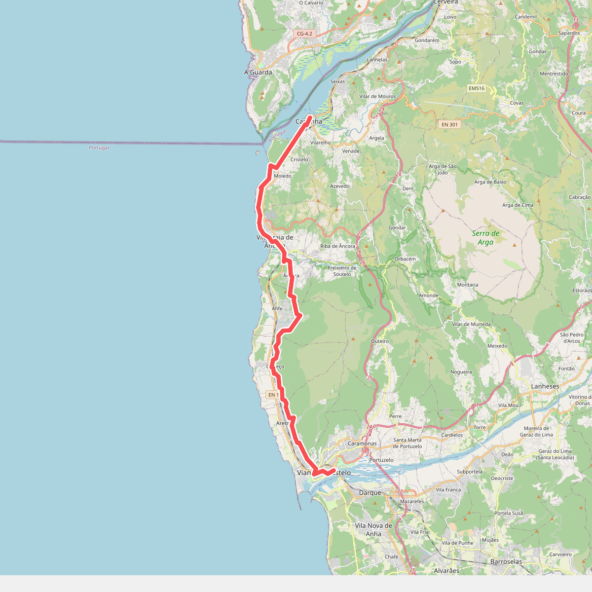
#8. Camino Viana do Castelo - Caminha
Viana do Castelo,Caminha,Vila Praia de Âncora
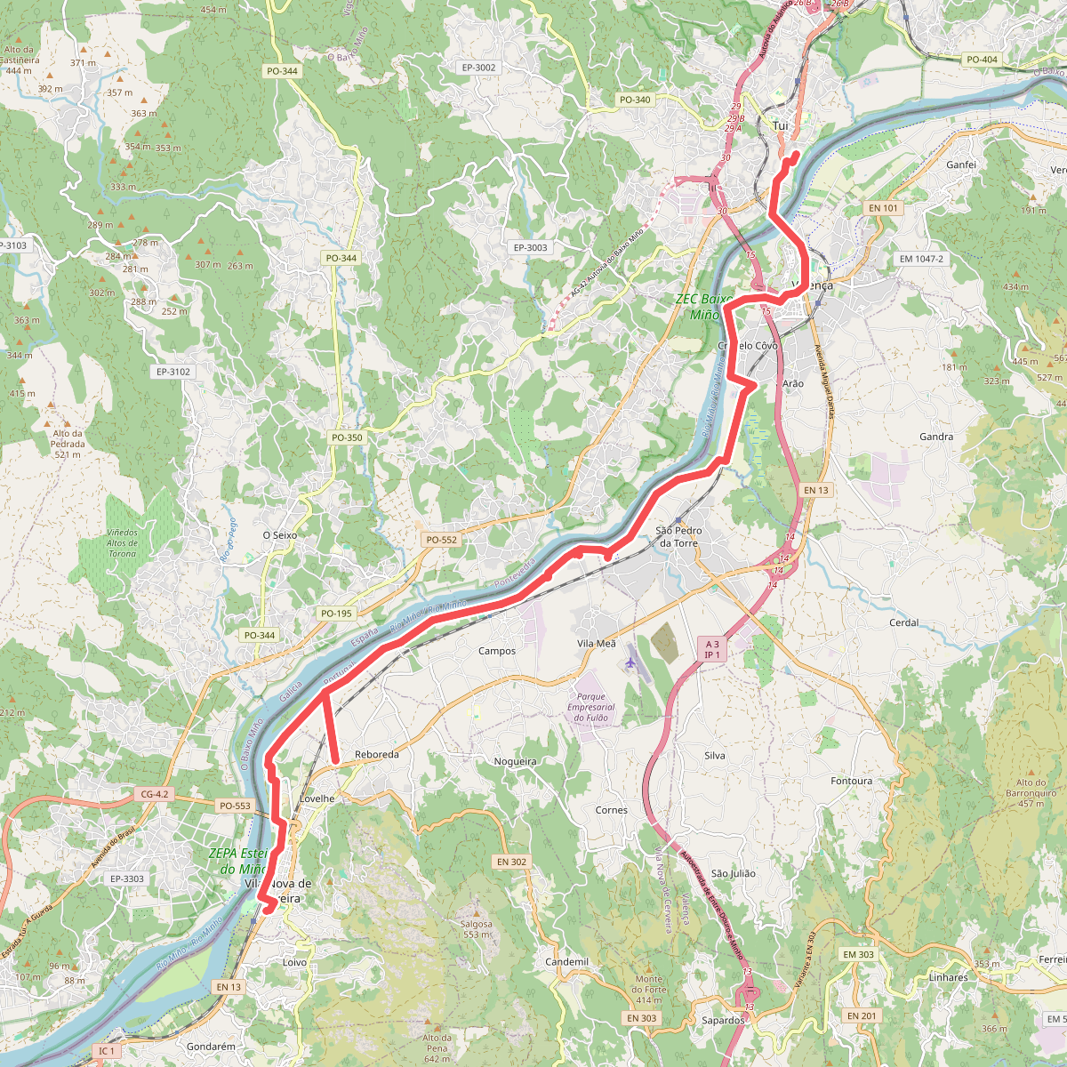
#9. Camino Vila Nova de Cerveira - Tui
Vila Nova de Cerveira,Valença
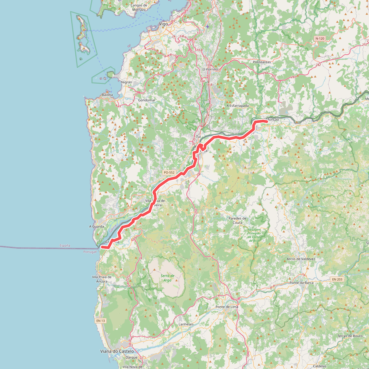
#10. Ecopista do Rio Minho
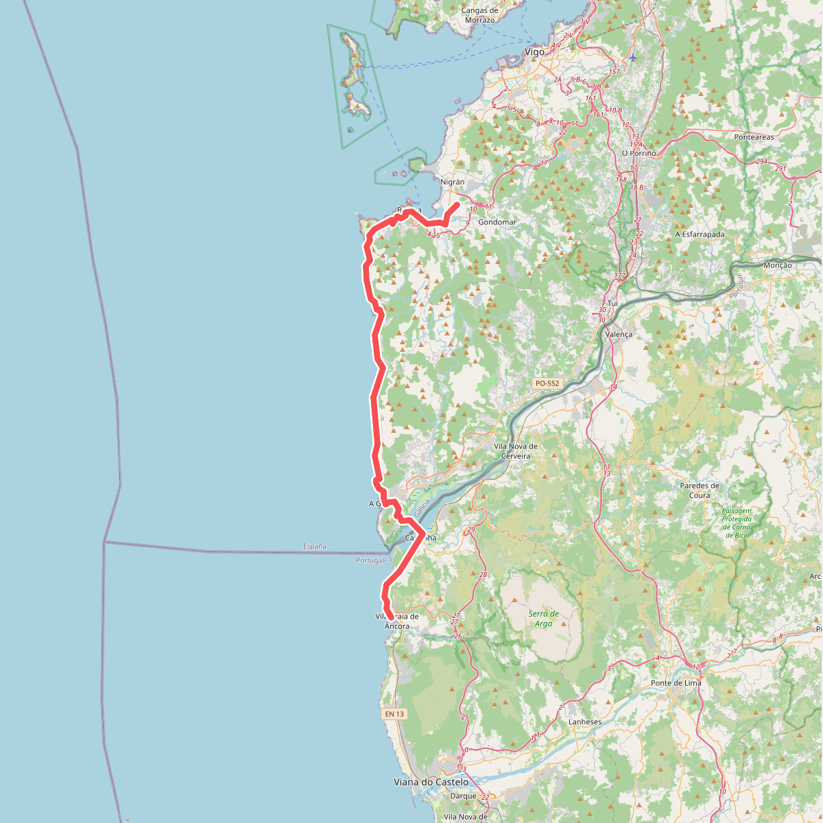
#11. Porto - Santiago deel 3 · Porto - Santiago etappe 3