The best hiking routes in Zona de Proteção Especial da Serra do Gerês
Discover the best walks in Zona de Proteção Especial da Serra do Gerês. 55 routes on the map, with descriptions, photos and GPX.
Managed by ICNF
About Zona de Proteção Especial da Serra do Gerês
The Zona de Proteção Especial da Serra do Gerês is a rugged, high-altitude granitic landscape in northern Portugal. Walkers should expect steep, rocky ascents and descents rather than gentle, rolling paths. Underfoot, the terrain consists mostly of rough granite slabs, loose stones, and sandy dirt tracks, which can be demanding on the ankles. The vegetation is characterized by low-lying mountain scrub, gorse, and heather, with pockets of ancient oak forests, particularly in the protected valleys like Albergaria. Unlike softer coastal hills, this is a stark, exposed mountain environment where navigation requires attention due to the labyrinthine rock formations.
Read more
About Zona de Proteção Especial da Serra do Gerês
The Zona de Proteção Especial da Serra do Gerês is a rugged, high-altitude granitic landscape in northern Portugal. Walkers should expect steep, rocky ascents and descents rather than gentle, rolling paths. Underfoot, the terrain consists mostly of rough granite slabs, loose stones, and sandy dirt tracks, which can be demanding on the ankles. The vegetation is characterized by low-lying mountain scrub, gorse, and heather, with pockets of ancient oak forests, particularly in the protected valleys like Albergaria. Unlike softer coastal hills, this is a stark, exposed mountain environment where navigation requires attention due to the labyrinthine rock formations.
Read moreThe Zona de Proteção Especial da Serra do Gerês is a rugged, high-altitude granitic landscape in northern Portugal. Walkers should expect steep, rocky ascents and descents rather than gentle, rolling paths. Underfoot, the terrain consists mostly of rough granite slabs, loose stones, and sandy dirt tracks, which can be demanding on the ankles. The vegetation is characterized by low-lying mountain scrub, gorse, and heather, with pockets of ancient oak forests, particularly in the protected valleys like Albergaria. Unlike softer coastal hills, this is a stark, exposed mountain environment where navigation requires attention due to the labyrinthine rock formations.
Water is a defining feature of this granite massif. You will frequently cross fast-flowing mountain streams and pass natural rock pools, known locally as pozas, which have been carved into the bedrock over centuries. In the higher elevations, the landscape opens up into bare granite domes and plateau areas where trees cannot grow, exposing the sheer scale of the geological formations. The lower slopes, by contrast, feature traditional agricultural terraces and small stone shelters built by shepherds, showing how the local population adapted to the steep terrain.
Choosing where to walk depends on your tolerance for steep climbs. The valleys offer shaded paths under oak canopies with relatively stable dirt tracks, while the high ridges require scrambling over exposed rock. In May, the mountain slopes are bright with yellow gorse and purple heather blooms, contrasting sharply with the grey stone. The area is a protected sanctuary, meaning there are strict regulations on where you can walk, and some zones require permits or are restricted to designated trails to protect the fragile mountain ecosystem.
Hiking routes in Zona de Proteção Especial da Serra do Gerês (55)
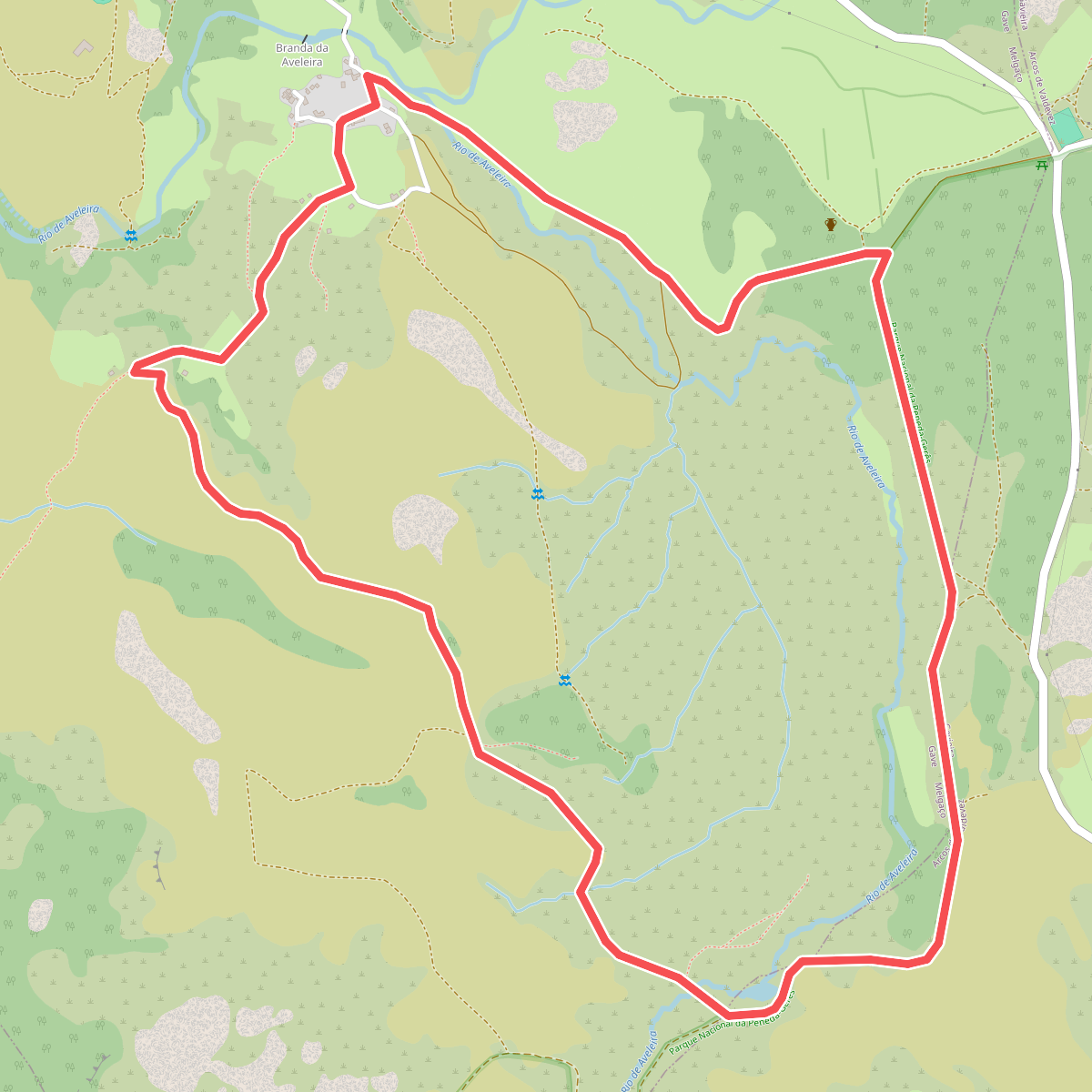
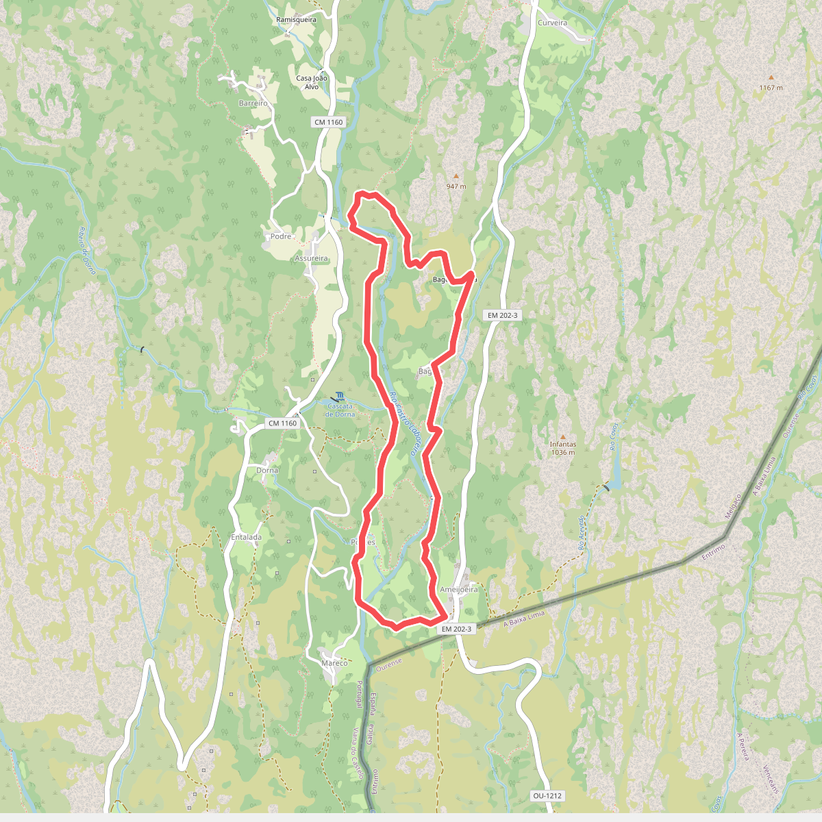
#1. Aveleira
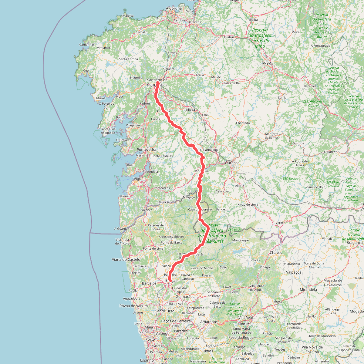
#2. Caminho da Geira e dos Arrieiros
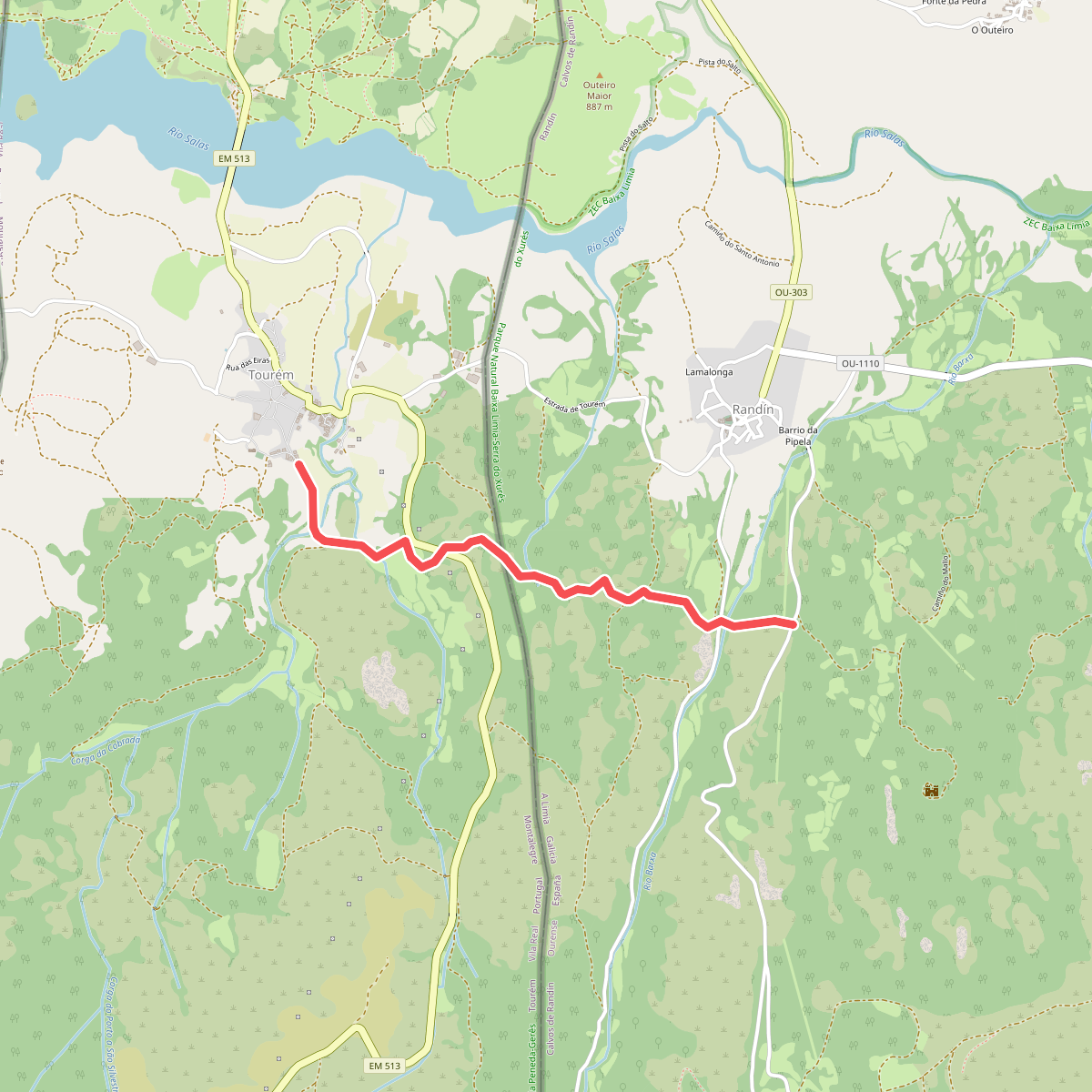
#3. Caminho privilegiado do Couto Misto
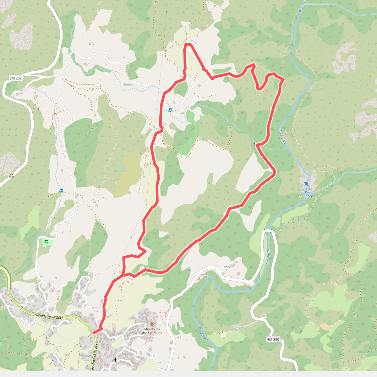
#4. Caminhos do Pão e Caminhos da Fé (Percurso Curto)
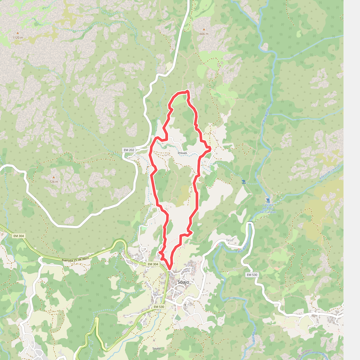
#5. Caminhos do Pão e Caminhos da Fé (Percurso Longo)
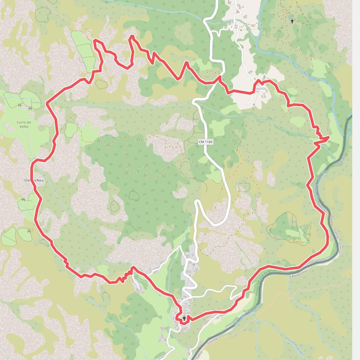
#6. Curro da Velha
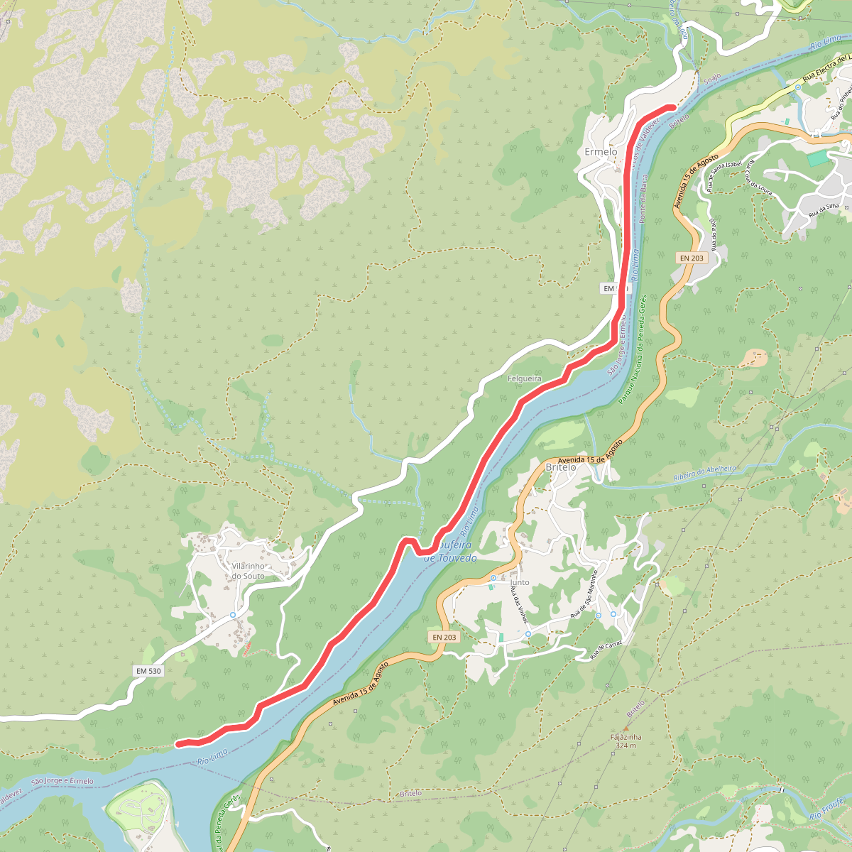
#7. Ecovia do Ermelo
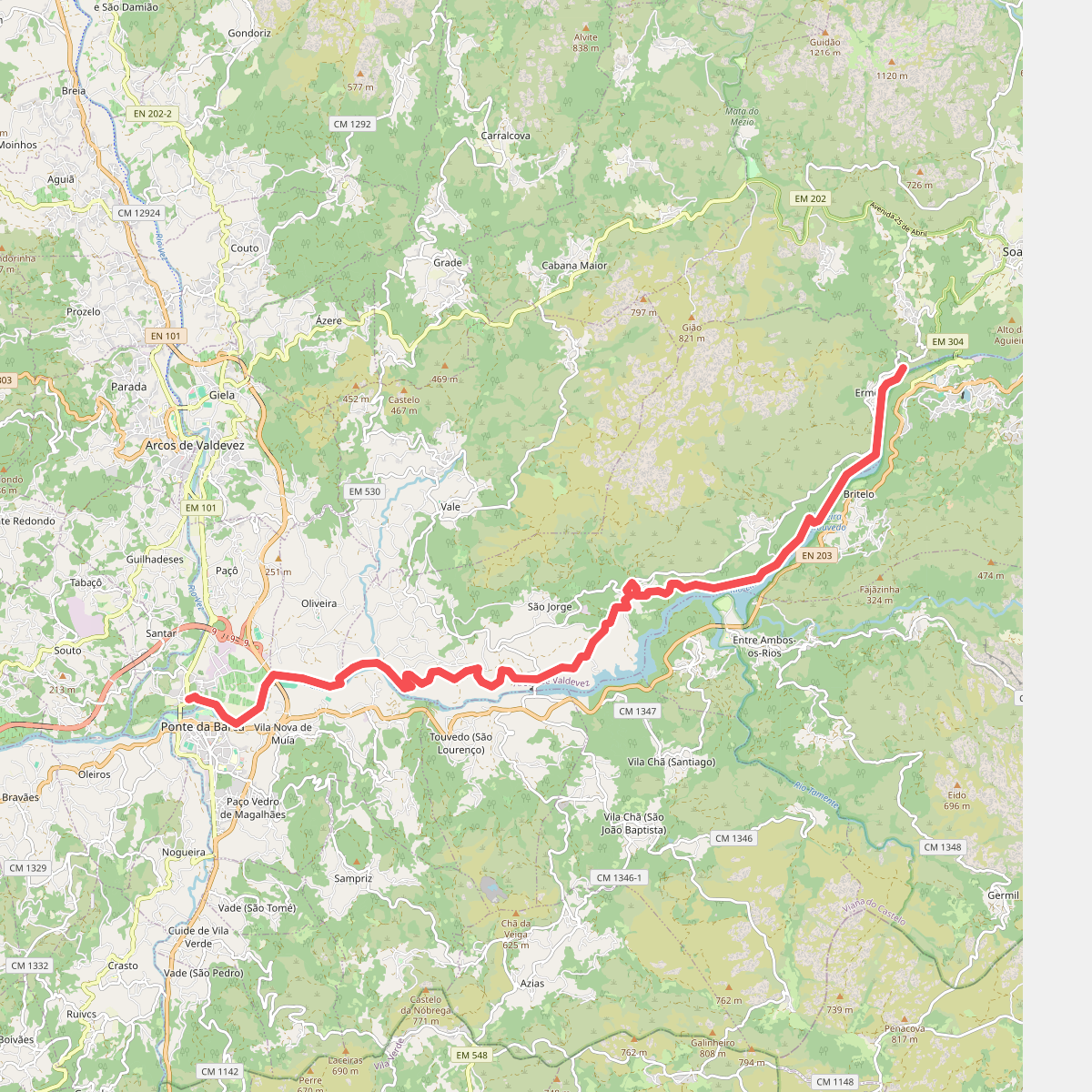
#8. Ecovia do Lima
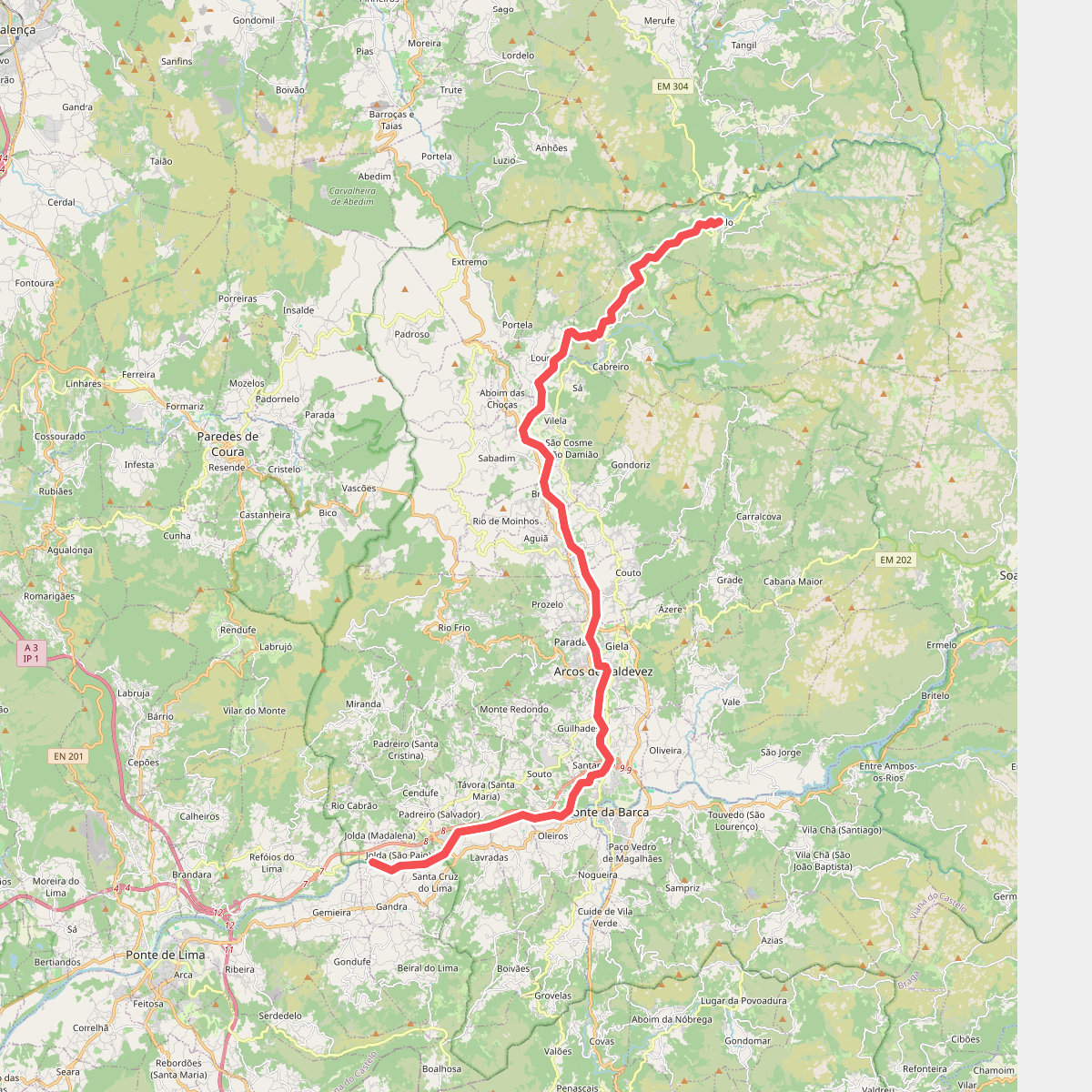
#9. Ecovia do Vez
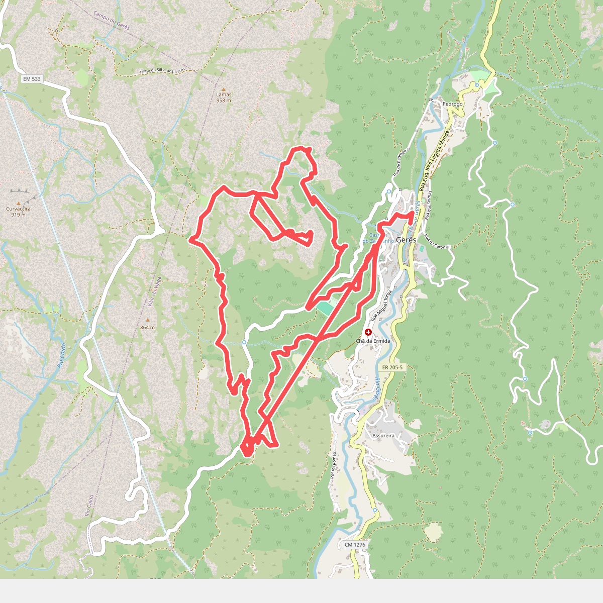
#10. Geres Panorama
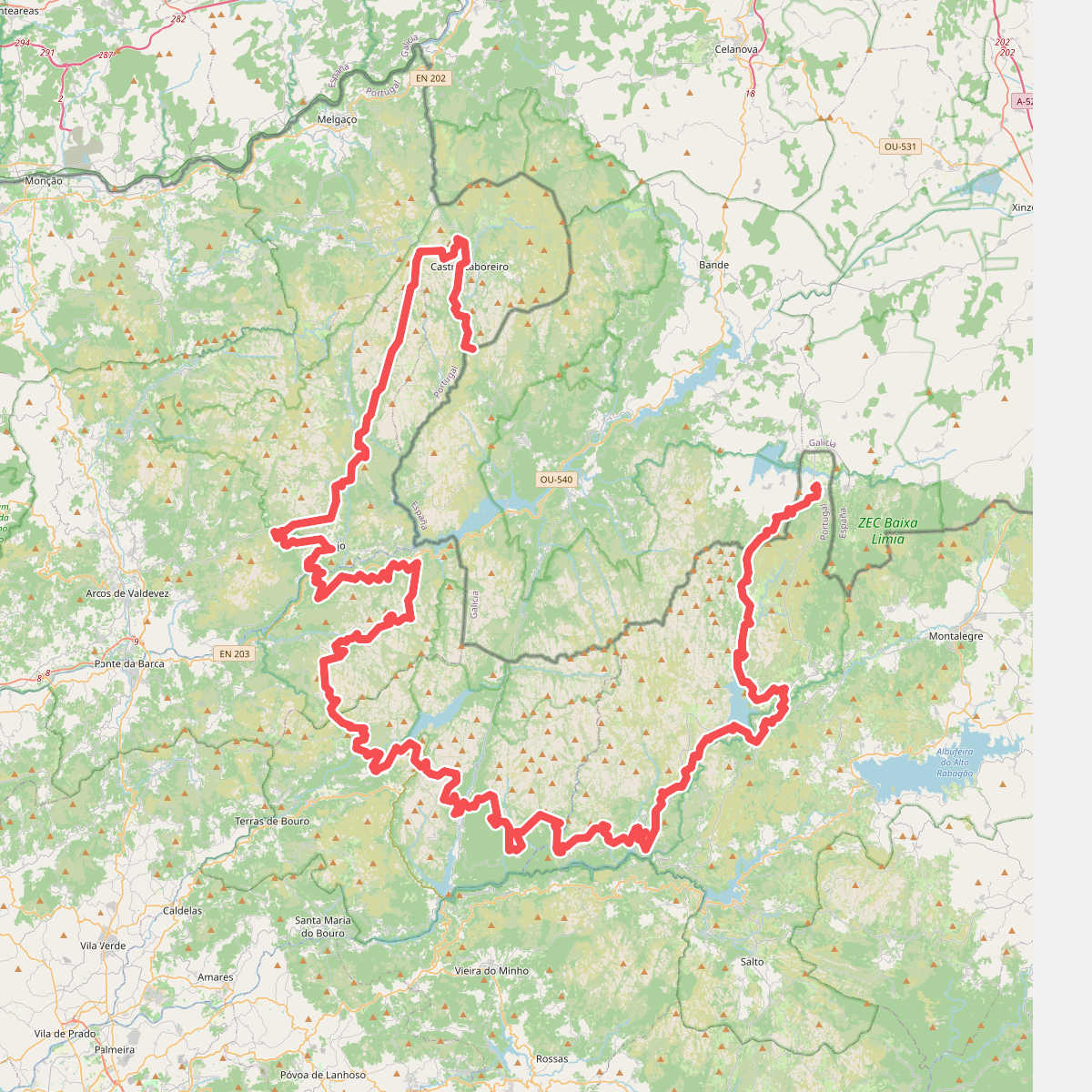
#11. Grande Rota Peneda-Gerês