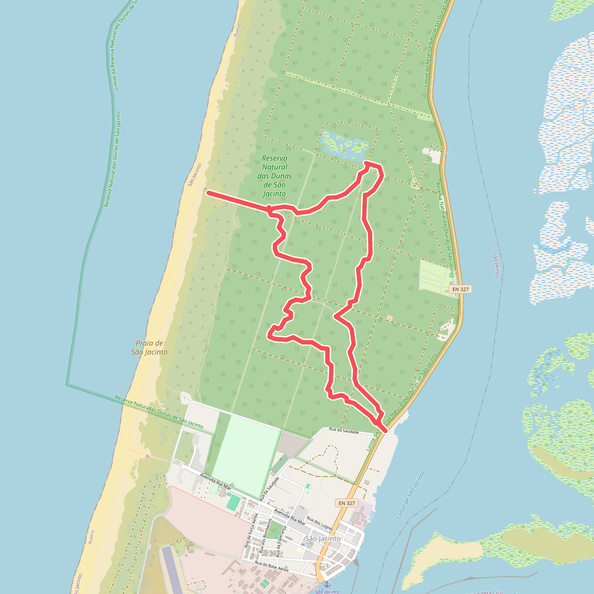
The best hiking routes in Zona de Proteção Especial da Ria de Aveiro
Discover the best walks in Zona de Proteção Especial da Ria de Aveiro. 10 routes on the map, with descriptions, photos and GPX.
Managed by Instituto da Conservação da Natureza e das Florestas
About Zona de Proteção Especial da Ria de Aveiro
The Zona de Proteção Especial da Ria de Aveiro is a vast coastal wetland system dominated by a labyrinth of saltwater channels, mudflats, salt marshes, and agricultural pastures known as bocage. Unlike typical sandy beaches, this protected area is defined by its transition from brackish water to cultivated land. Walkers will find a flat landscape shaped by historical salt extraction and seaweed harvesting, where dikes and tidal channels dictate the path. There are no hills or cliffs here, only a horizontal network of waterways and low-lying fields.
Read more
About Zona de Proteção Especial da Ria de Aveiro
The Zona de Proteção Especial da Ria de Aveiro is a vast coastal wetland system dominated by a labyrinth of saltwater channels, mudflats, salt marshes, and agricultural pastures known as bocage. Unlike typical sandy beaches, this protected area is defined by its transition from brackish water to cultivated land. Walkers will find a flat landscape shaped by historical salt extraction and seaweed harvesting, where dikes and tidal channels dictate the path. There are no hills or cliffs here, only a horizontal network of waterways and low-lying fields.
Read moreThe Zona de Proteção Especial da Ria de Aveiro is a vast coastal wetland system dominated by a labyrinth of saltwater channels, mudflats, salt marshes, and agricultural pastures known as bocage. Unlike typical sandy beaches, this protected area is defined by its transition from brackish water to cultivated land. Walkers will find a flat landscape shaped by historical salt extraction and seaweed harvesting, where dikes and tidal channels dictate the path. There are no hills or cliffs here, only a horizontal network of waterways and low-lying fields.
Underfoot, the terrain varies significantly depending on your choice of path. The outer edges near the dunes feature loose sand tracks, while the inner marshlands are traversed via dirt dikes, grassy embankments, and wooden boardwalks designed to keep walkers above the high-tide line. Some sections follow paved agricultural lanes through the bocage, where stone walls and hedges line the fields. It is a working landscape where traditional salt pans, some still active, sit alongside modern aquaculture installations.
In autumn, particularly during October, the mudflats expose vast feeding grounds for migrating wading birds, making the salt marshes near Murtosa and Apúlia key points for observation. The area is open and exposed, offering little shade from trees except where pine plantations border the dunes. While the wooden boardwalks near urban access points see regular foot traffic, the long dike paths deeper in the estuary offer a much quieter walking experience focused on the movement of the tides and traditional estuary life.
Hiking routes in Zona de Proteção Especial da Ria de Aveiro (10)
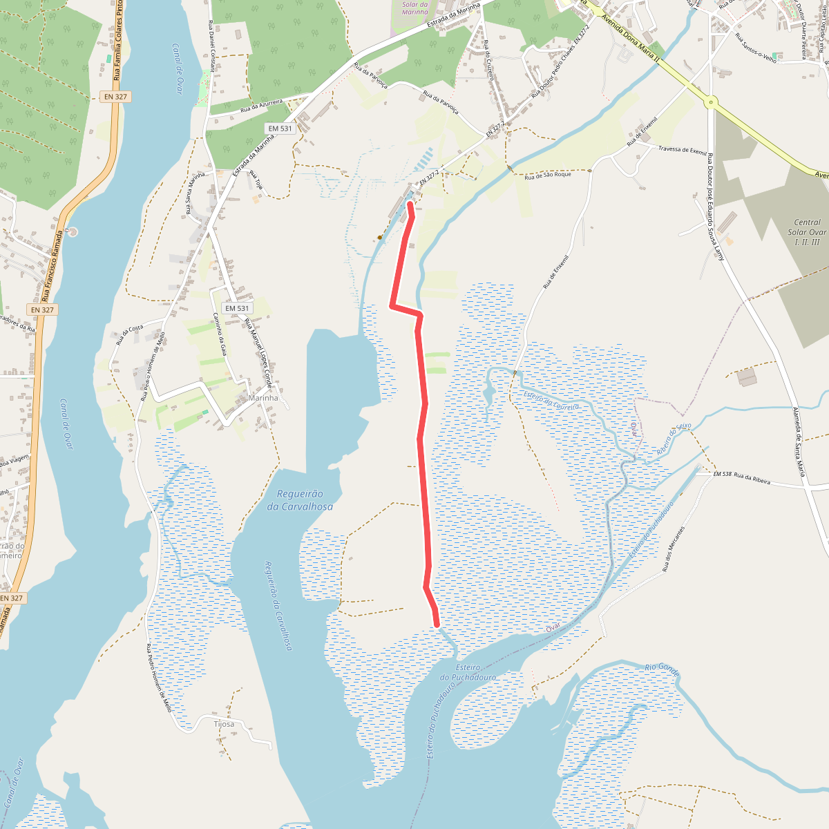
#1. Percurso 2 – Cais da Ribeira até à Foz do Cáster
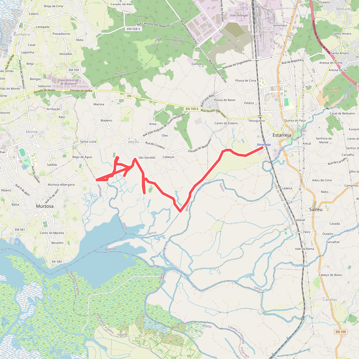
#2. Percurso das Ribeiras de Veiros
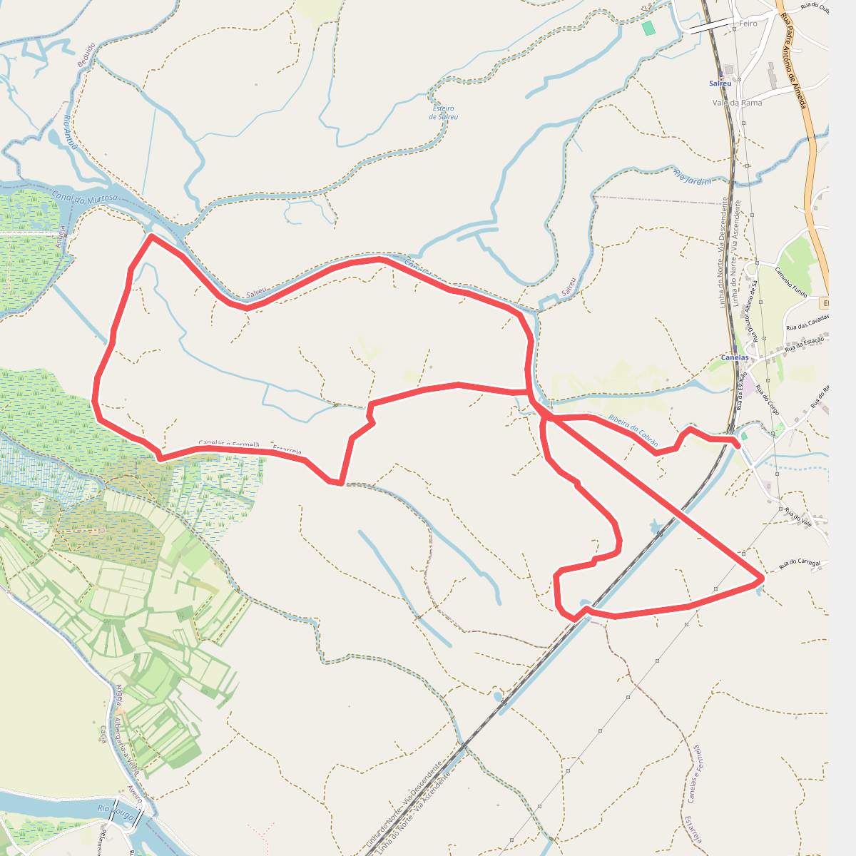
#3. Percurso de Fermelã
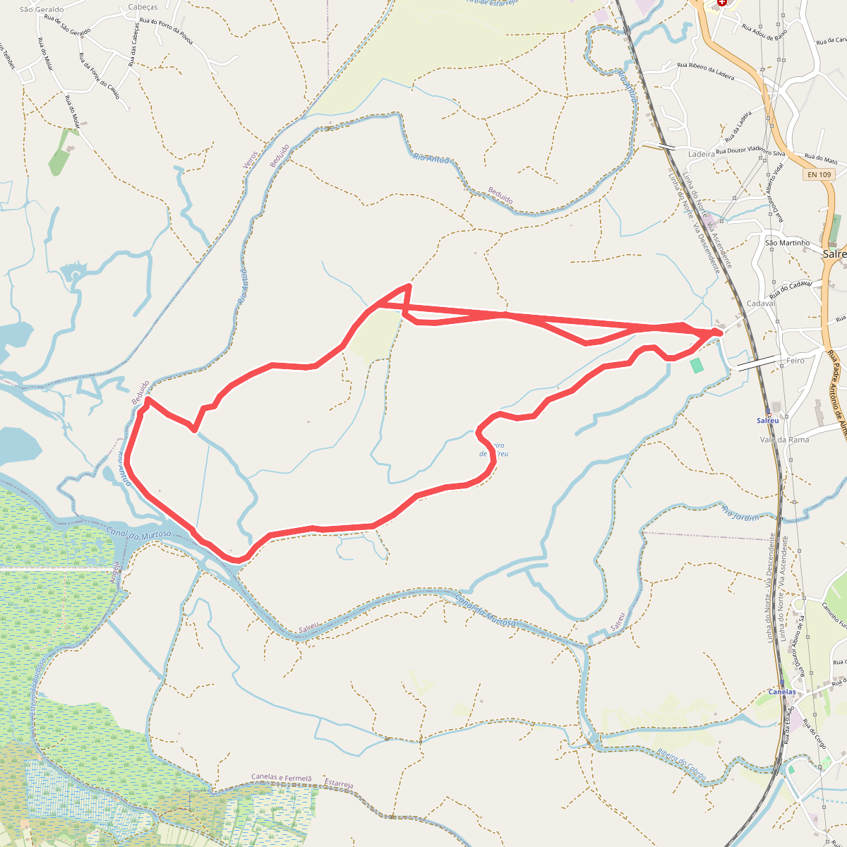
#4. Percurso de Salreu
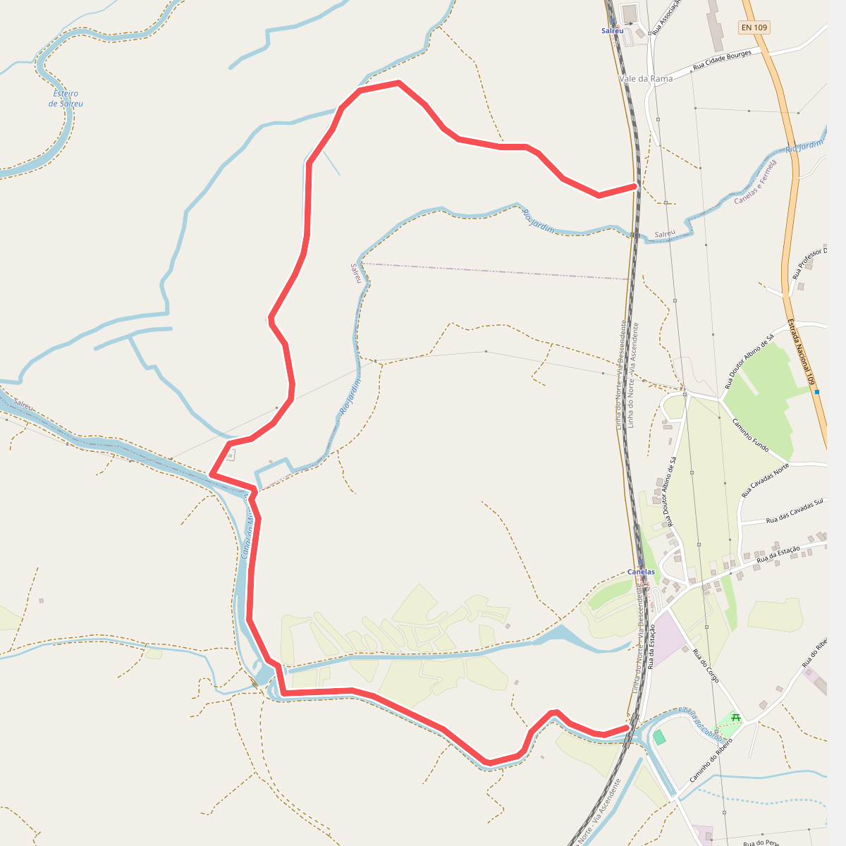
#5. Percurso do Bocage
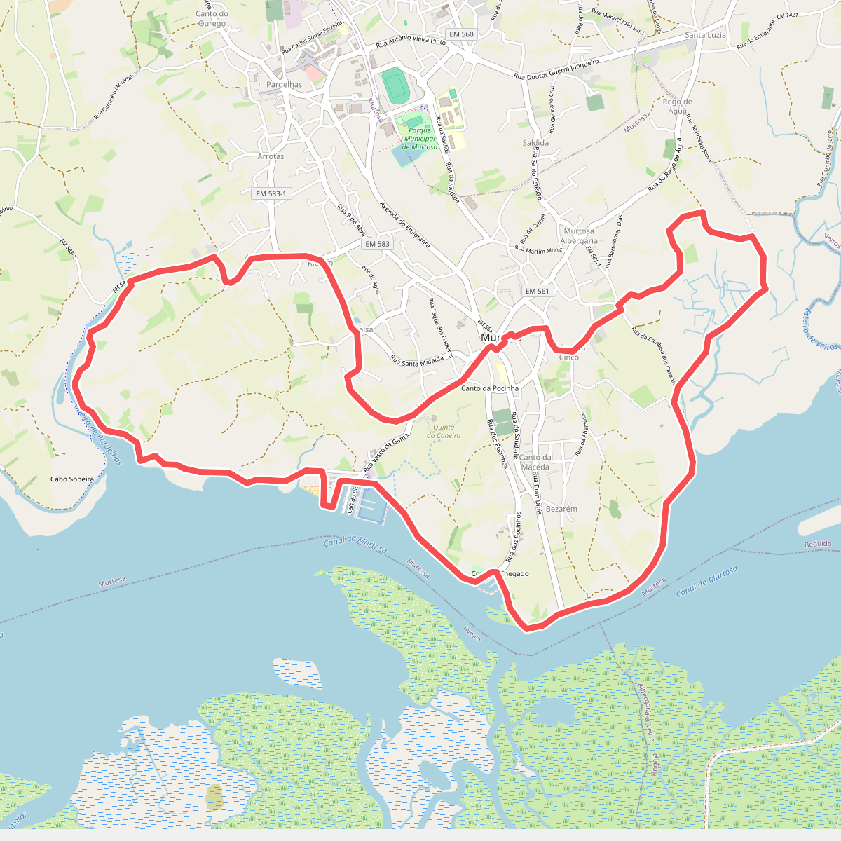
#6. Percurso do Canal da Murtosa
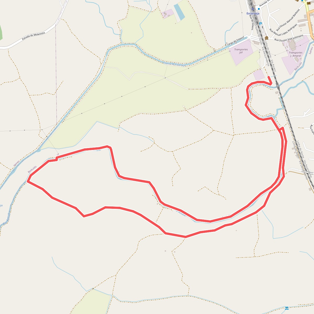
#7. Percurso do Rio Antuã
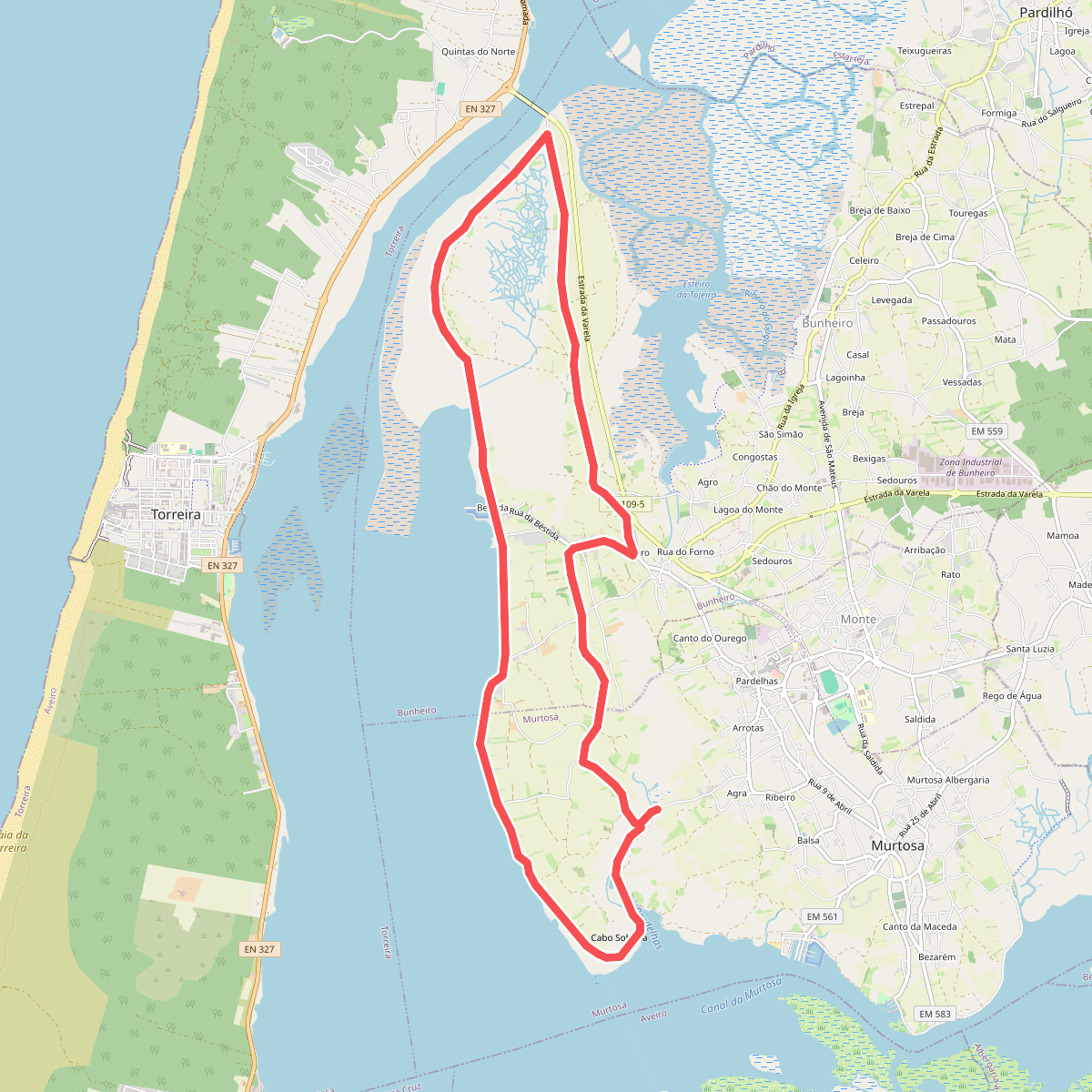
#8. Percurso dos Campos da Ria
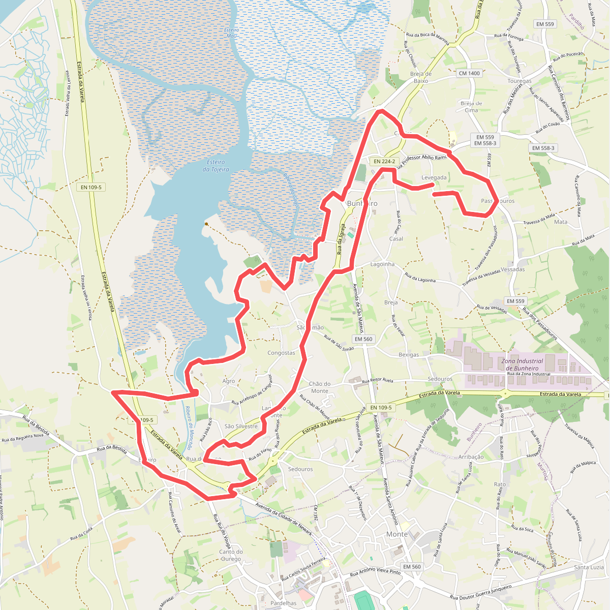
#9. Percurso Natural e Cultural do Bunheiro