The best hiking routes in Zona de Especial Protección para las Aves Embalse del Ebro
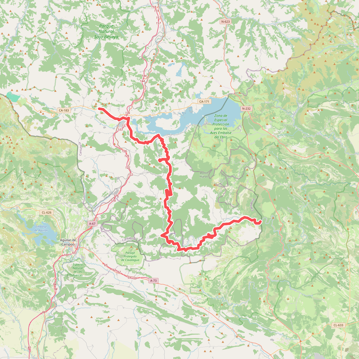
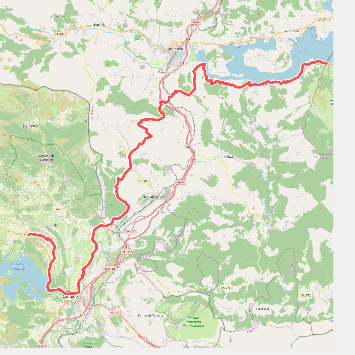
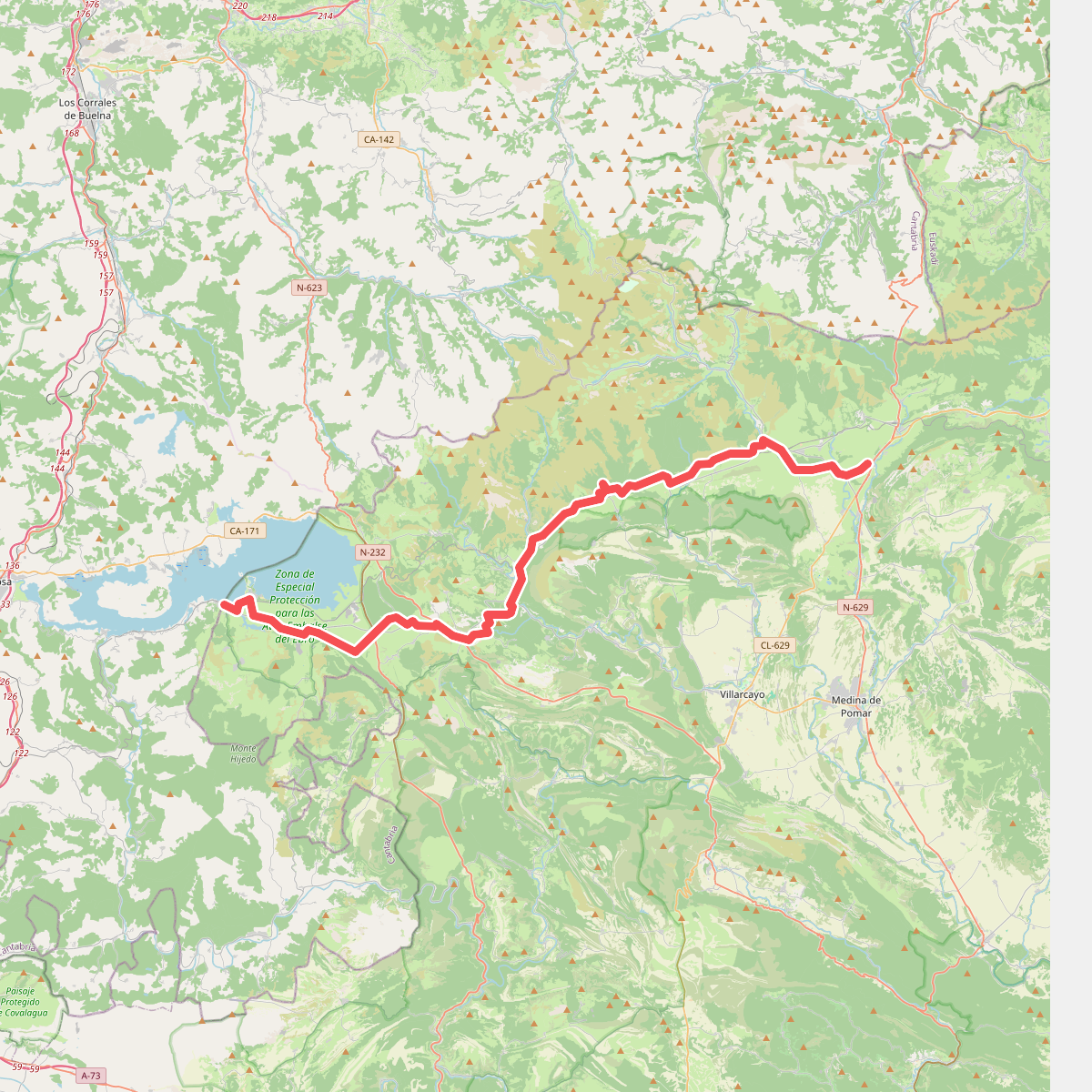
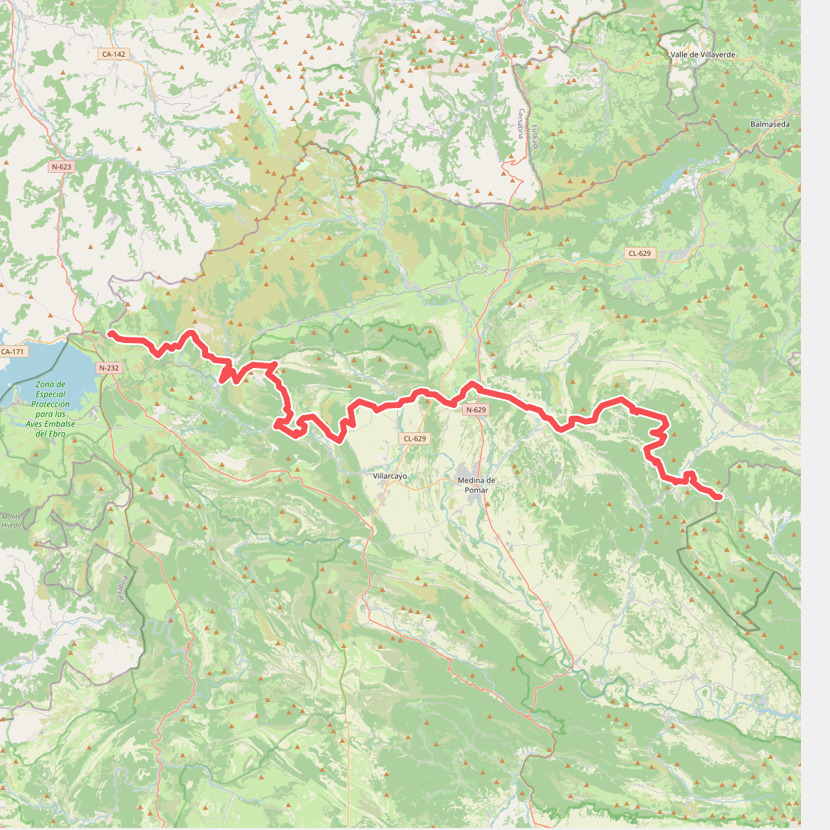
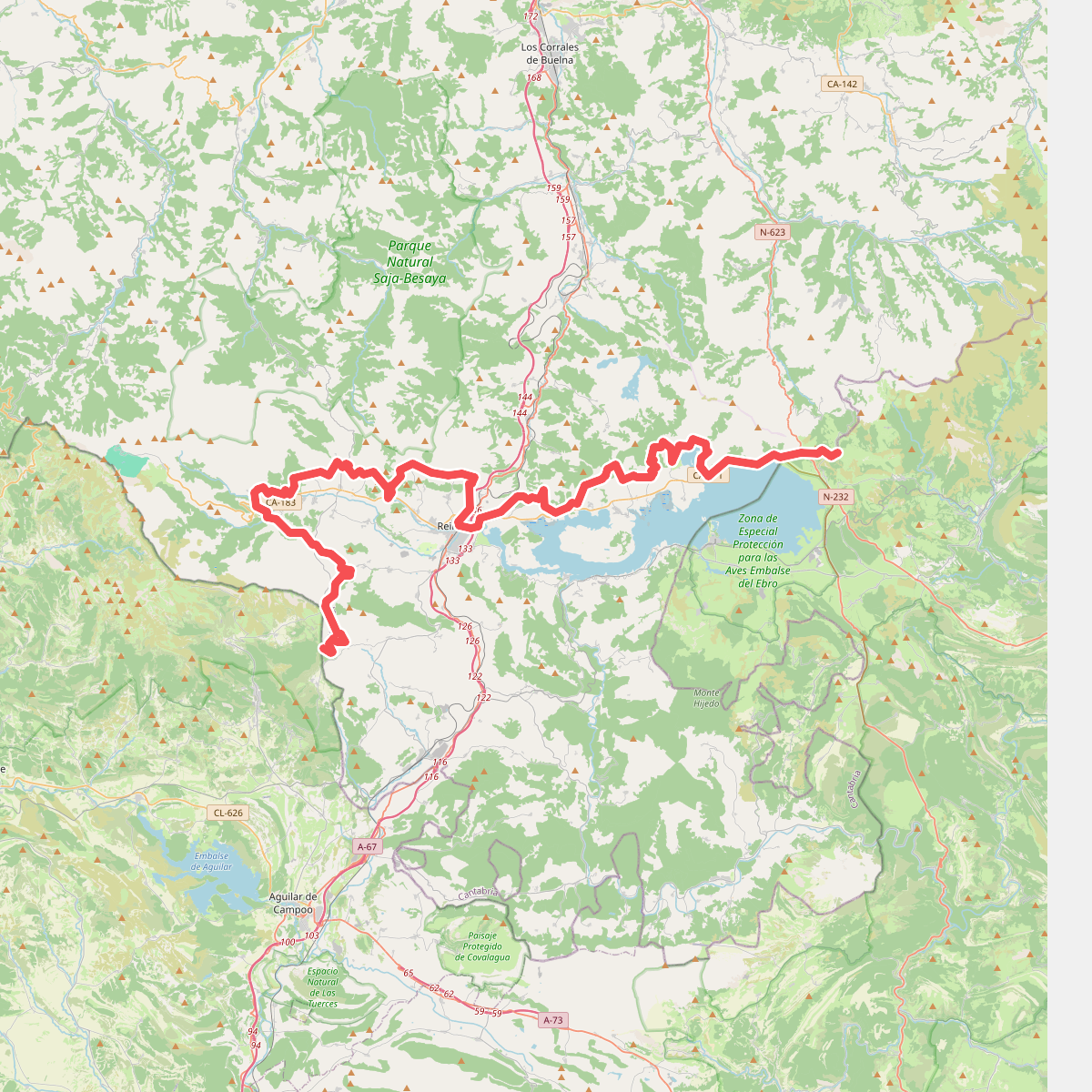
Discover the best walks in Zona de Especial Protección para las Aves Embalse del Ebro. 5 routes on the map, with descriptions, photos and GPX.
Managed by Junta de Castilla y León
About Zona de Especial Protección para las Aves Embalse del Ebro
The Zona de Especial Protección para las Aves Embalse del Ebro centers on a vast reservoir surrounded by a mix of open pastures, scrubby hillsides, and marshy margins. Walkers will find a landscape shaped by water level fluctuations, where wide mudflats can appear alongside shallow bays. Unlike the steep, rocky peaks of the nearby Cantabrian mountains, the terrain here consists of gently rolling shores and flat alluvial plains. It is a functional, open landscape where livestock grazing keeps the lakeside meadows short and accessible.
Read more
About Zona de Especial Protección para las Aves Embalse del Ebro
The Zona de Especial Protección para las Aves Embalse del Ebro centers on a vast reservoir surrounded by a mix of open pastures, scrubby hillsides, and marshy margins. Walkers will find a landscape shaped by water level fluctuations, where wide mudflats can appear alongside shallow bays. Unlike the steep, rocky peaks of the nearby Cantabrian mountains, the terrain here consists of gently rolling shores and flat alluvial plains. It is a functional, open landscape where livestock grazing keeps the lakeside meadows short and accessible.
Read moreThe Zona de Especial Protección para las Aves Embalse del Ebro centers on a vast reservoir surrounded by a mix of open pastures, scrubby hillsides, and marshy margins. Walkers will find a landscape shaped by water level fluctuations, where wide mudflats can appear alongside shallow bays. Unlike the steep, rocky peaks of the nearby Cantabrian mountains, the terrain here consists of gently rolling shores and flat alluvial plains. It is a functional, open landscape where livestock grazing keeps the lakeside meadows short and accessible.
Underfoot, the paths vary from firm gravel tracks and dirt agricultural roads to soft, grassy banks near the water. In the wetter zones and inlets, particularly around the southern shores managed by the Junta de Castilla y León, the ground transitions into clay and marshy peat. There are no purpose-built boardwalks spanning these wetlands, so walkers must navigate the natural shoreline contours, which can require detours around flooded inlets depending on the reservoir level.
In late autumn, particularly around November, the area becomes a major staging ground for migrating waterfowl, which gather in the shallow bays. The lack of dense forest cover means walkers have clear views across the water to observe these seasonal bird concentrations, though it also means there is little shelter from the elements along the exposed lakeside tracks. The northern and southern shores offer different perspectives, with the southern side presenting quieter, more agricultural surroundings compared to the villages and roads that line the northern edge.