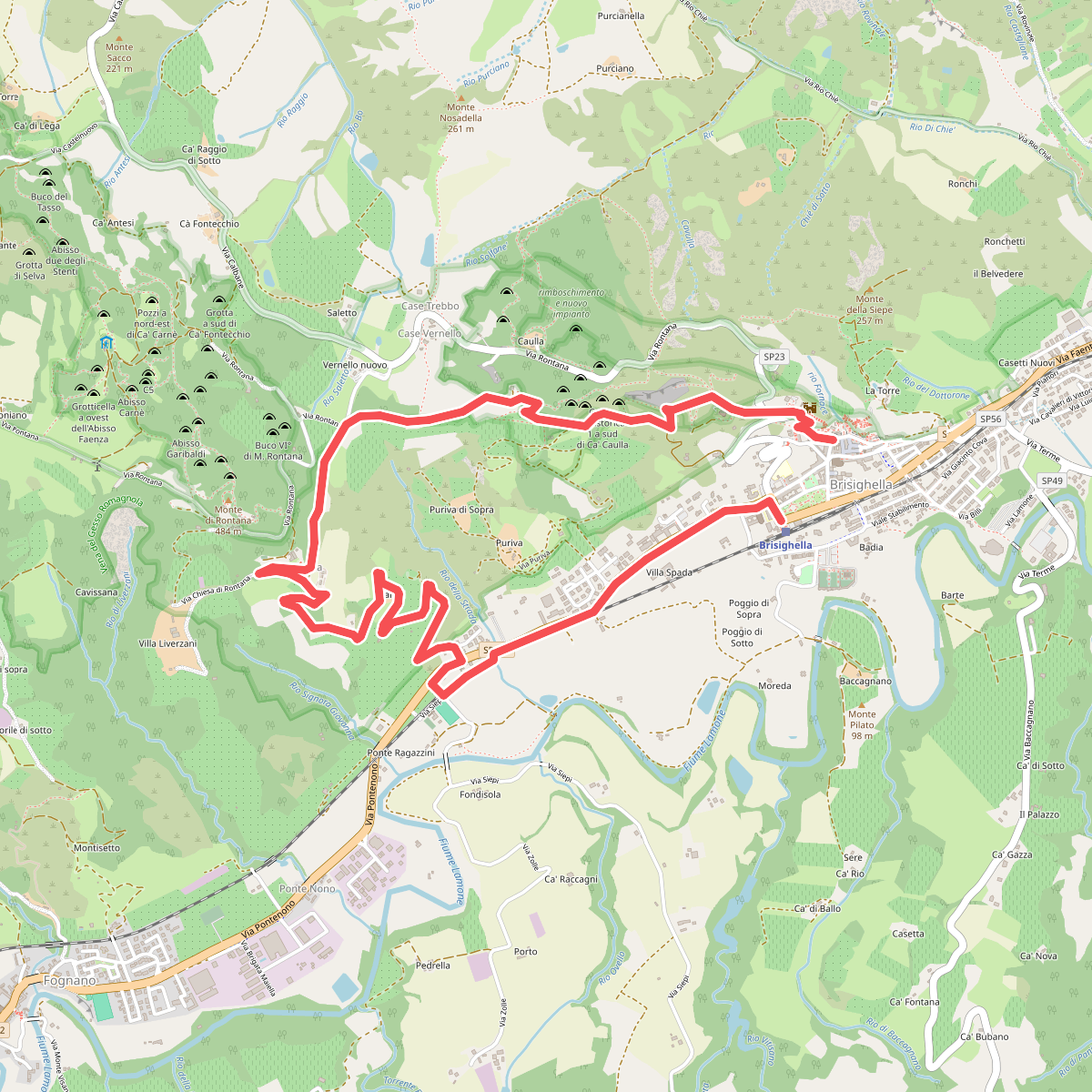
The best hiking routes in Zona C Parco regionale Vena del Gesso Romagnola
Discover the best walks in Zona C Parco regionale Vena del Gesso Romagnola. 20 routes on the map, with descriptions, photos and GPX.
Managed by Ente di gestione per i Parchi e la Biodiversità - Romagna
About Zona C Parco regionale Vena del Gesso Romagnola
Zona C Parco regionale Vena del Gesso Romagnola covers the gentler, agricultural buffer zones that wrap around the sheer gypsum cliffs of the main ridge. Walking here means navigating a landscape of clay hills, olive groves, vineyards, and small patches of deciduous woodland. It lacks the dramatic, exposed rock faces and deep cave systems of the core zone, offering instead a softer terrain of rolling hillsides and rural farming tracks.
Read more
About Zona C Parco regionale Vena del Gesso Romagnola
Zona C Parco regionale Vena del Gesso Romagnola covers the gentler, agricultural buffer zones that wrap around the sheer gypsum cliffs of the main ridge. Walking here means navigating a landscape of clay hills, olive groves, vineyards, and small patches of deciduous woodland. It lacks the dramatic, exposed rock faces and deep cave systems of the core zone, offering instead a softer terrain of rolling hillsides and rural farming tracks.
Read moreZona C Parco regionale Vena del Gesso Romagnola covers the gentler, agricultural buffer zones that wrap around the sheer gypsum cliffs of the main ridge. Walking here means navigating a landscape of clay hills, olive groves, vineyards, and small patches of deciduous woodland. It lacks the dramatic, exposed rock faces and deep cave systems of the core zone, offering instead a softer terrain of rolling hillsides and rural farming tracks.
Underfoot, you will mostly encounter packed dirt lanes, gravel farm roads, and clay paths that can become sticky and heavy after rain. The landscape is shaped by centuries of traditional farming, where neat rows of vines and orchards are terraced into the clay slopes. In late spring, around May, these hillside fields are bright green and active with local agricultural work, contrasting with the dry, pale grey clay that dominates the landscape in the hotter late summer months.
This area is ideal if you prefer steady, moderate climbs over rugged ridge scrambling. While the main gypsum ridge is often busy with weekend hikers, these outer paths in Zona C are generally quieter, shared mainly with local farmers. It is a transition zone where you can observe how the local community lives alongside the protected gypsum karst, without the steep drops and exposed heights found deeper in the park.
Hiking routes in Zona C Parco regionale Vena del Gesso Romagnola (20)
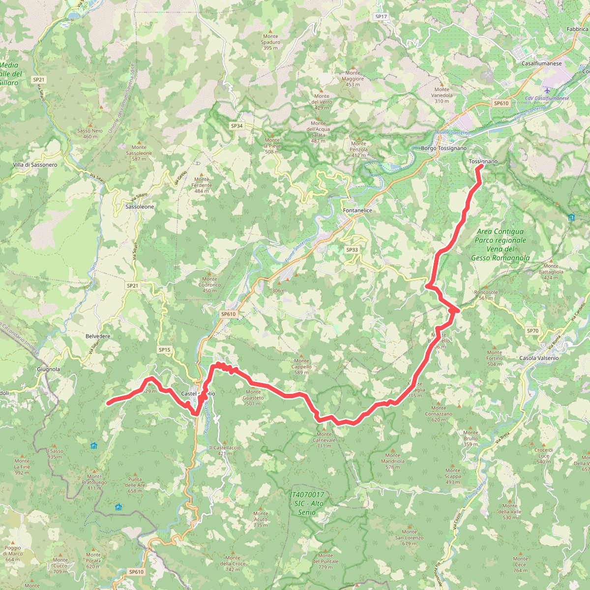
#1. Alta Via dei Parchi: Tappa 15
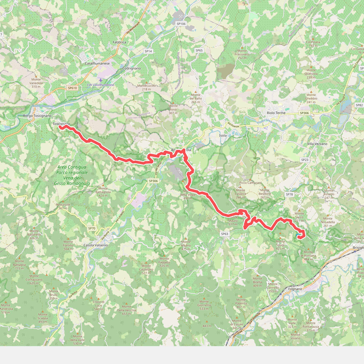
#2. Alta Via dei Parchi: Tappa 16
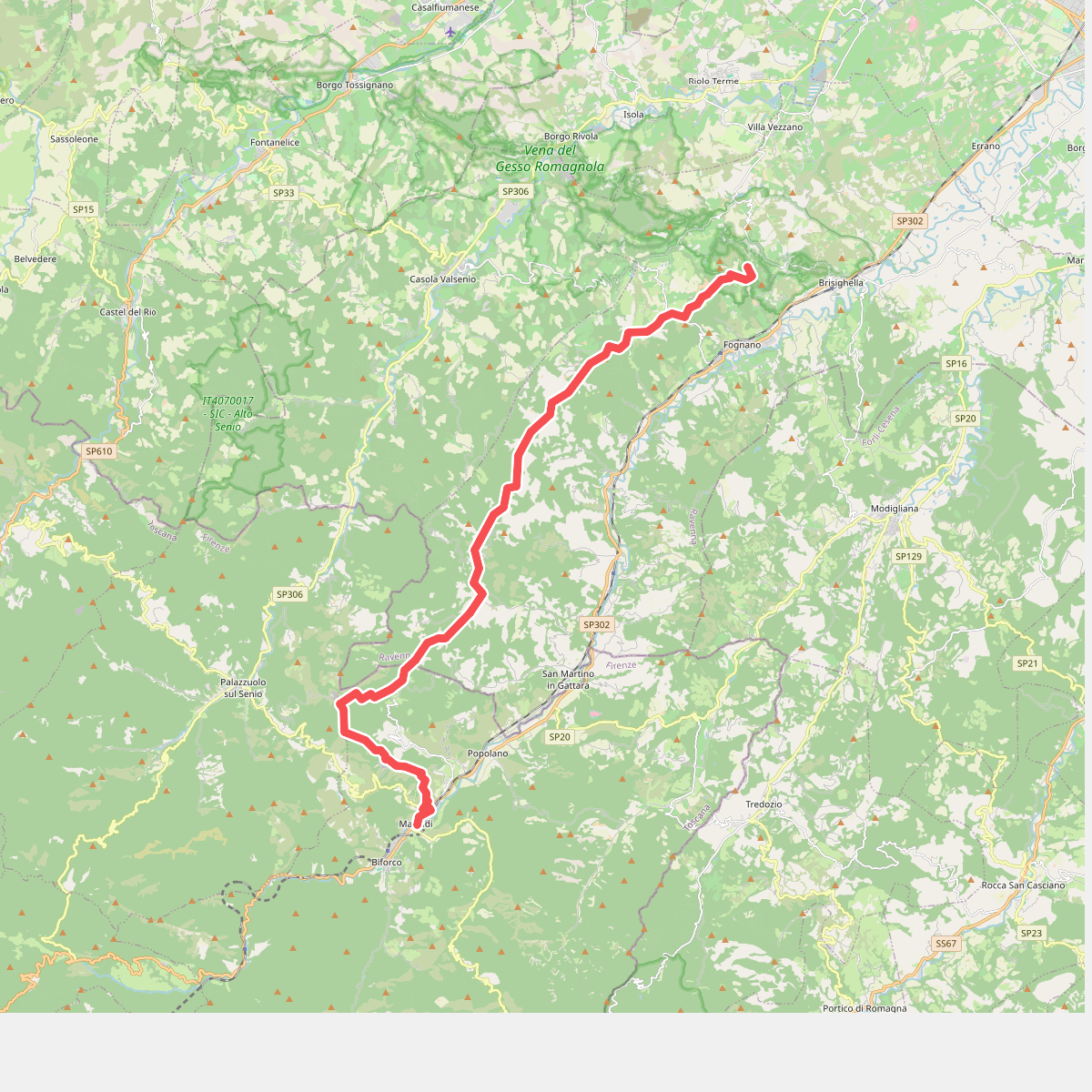
#3. Alta Via dei Parchi: Tappa 17
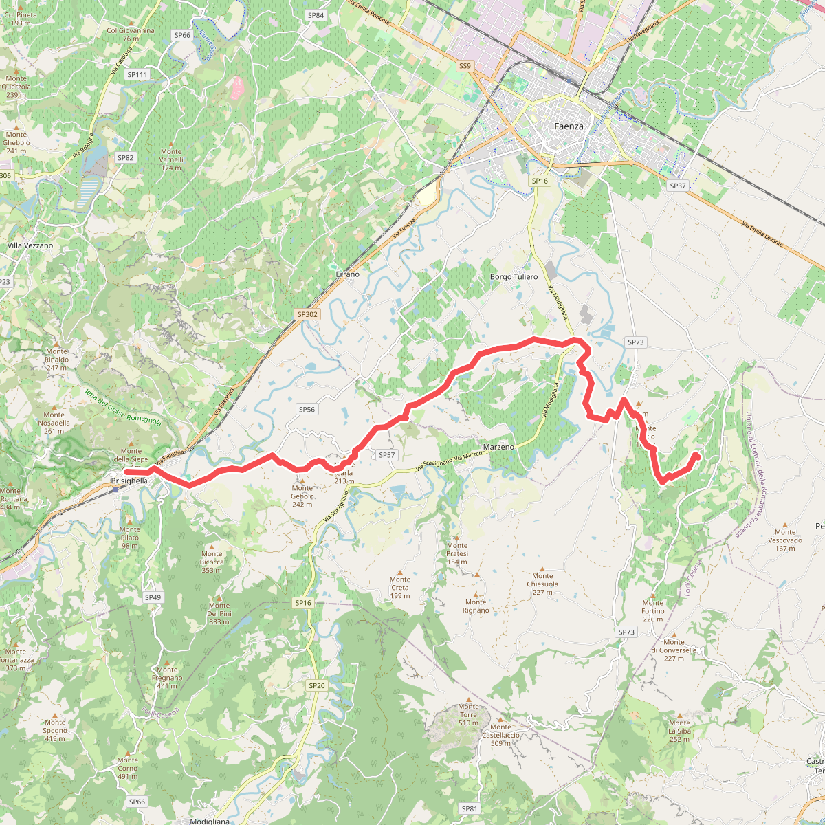
#4. Cammino di Dante - Tappa 3
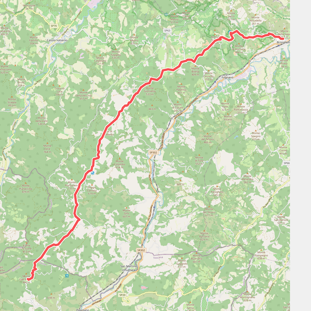
#5. Cammino di Dante - Tappa 4
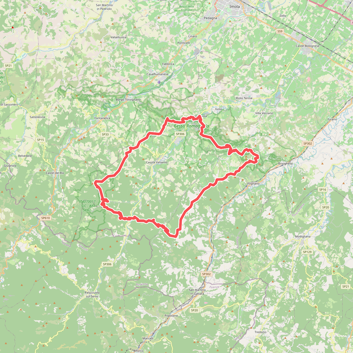
#6. Corolla delle Ginestre
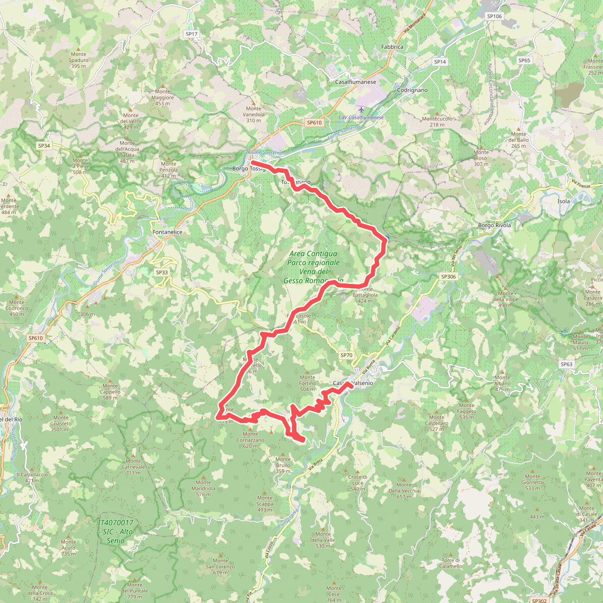
#7. Grande Circuito della Romagna: Tappa 1
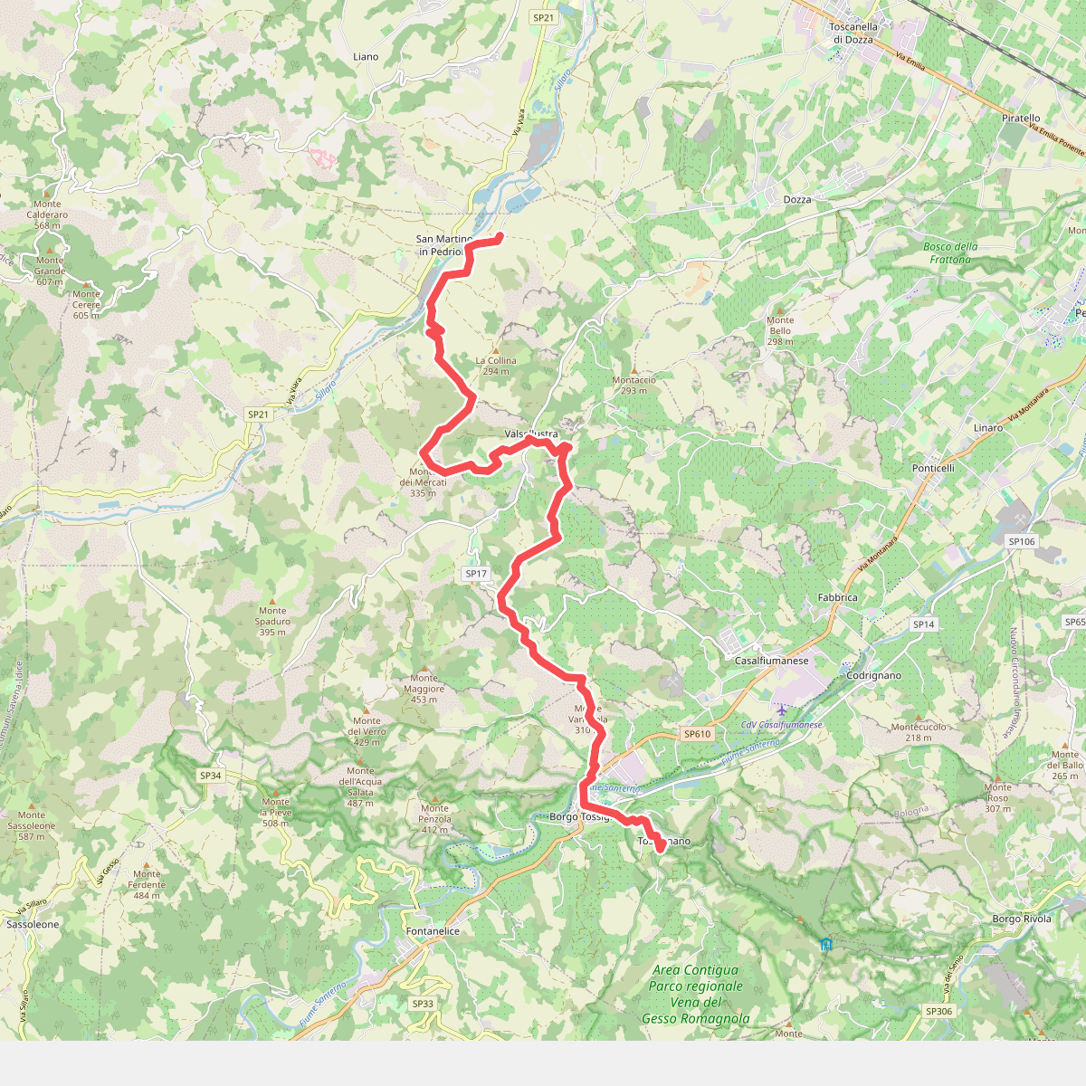
#8. Il Cammino di Sant'Antonio: Tappa 11
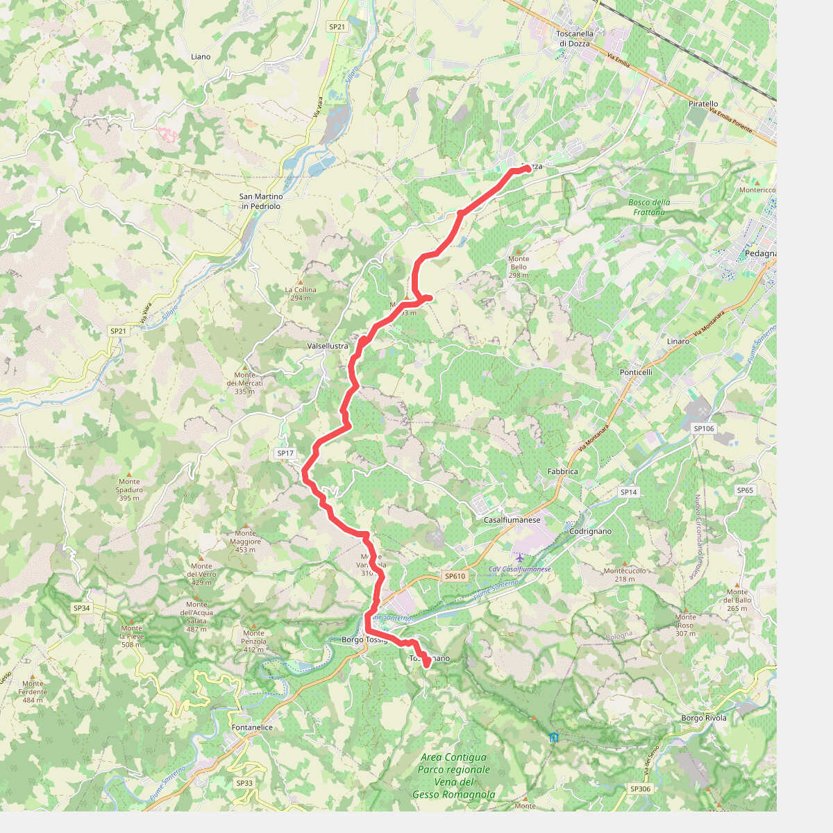
#9. Il Cammino di Sant'Antonio: Tappa 11D
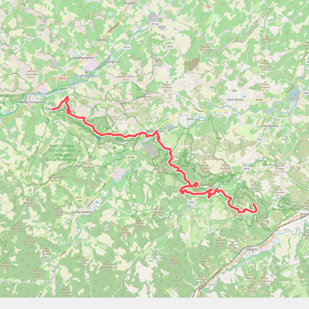
#10. Il Cammino di Sant'Antonio: Tappa 12
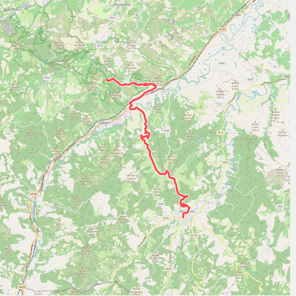
#11. Il Cammino di Sant'Antonio: Tappa 13