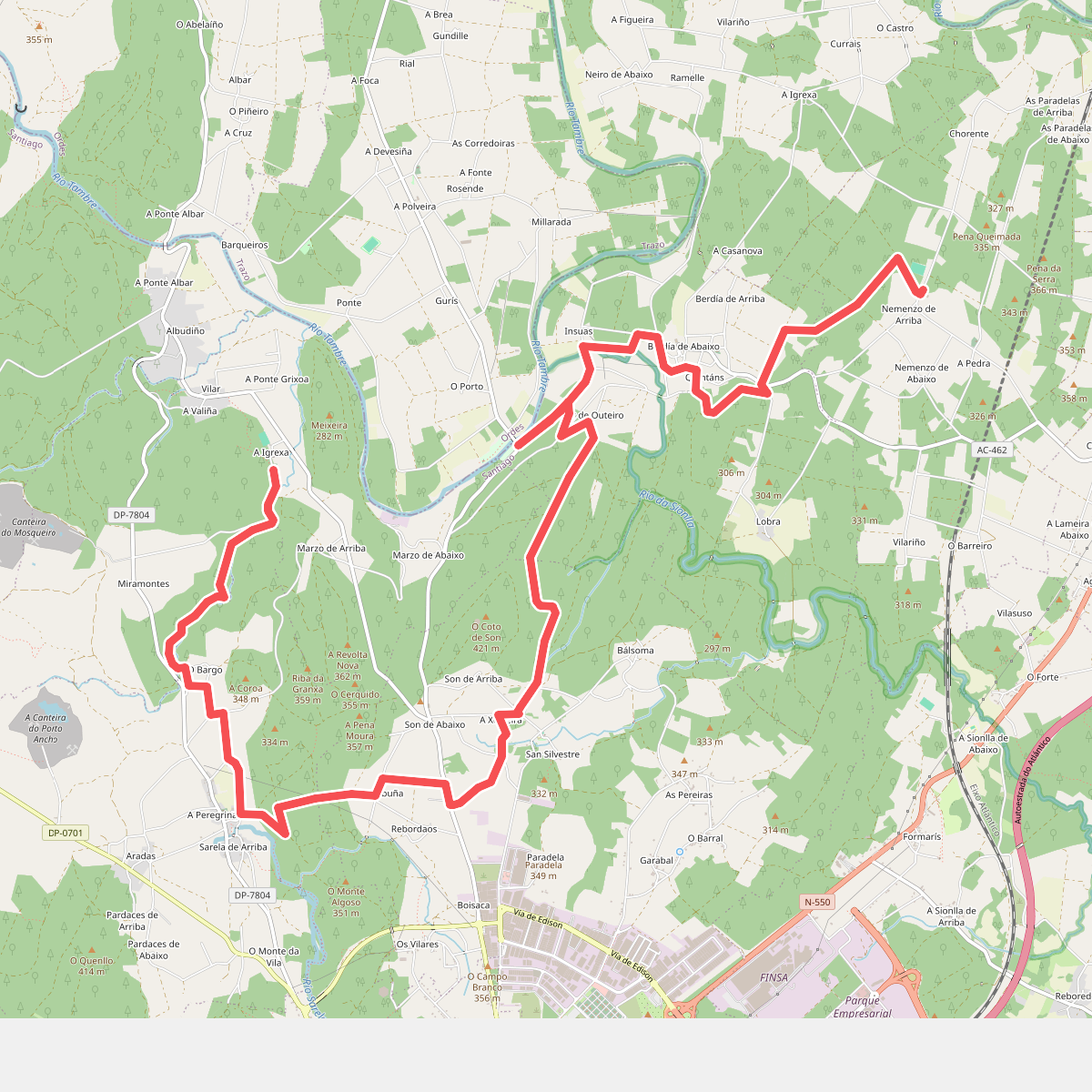
The best hiking routes in ZEC Río Tambre
Discover the best walks in ZEC Río Tambre. 8 routes on the map, with descriptions, photos and GPX.
Managed by Xunta de Galicia
About ZEC Río Tambre
ZEC Río Tambre protects a long, linear river corridor in Galicia, characterized by a transition from fast-flowing inland waters to a wide, tidal estuary. Walkers will find a landscape dominated by dense oak forests, alder-lined riverbanks, and steep granite slopes that confine the riverbed in its upper sections. Unlike flat coastal marshes, this area is defined by its constant relationship with the moving water, where the terrain rises sharply from the riverbanks into wooded hillsides.
Read more
About ZEC Río Tambre
ZEC Río Tambre protects a long, linear river corridor in Galicia, characterized by a transition from fast-flowing inland waters to a wide, tidal estuary. Walkers will find a landscape dominated by dense oak forests, alder-lined riverbanks, and steep granite slopes that confine the riverbed in its upper sections. Unlike flat coastal marshes, this area is defined by its constant relationship with the moving water, where the terrain rises sharply from the riverbanks into wooded hillsides.
Read moreZEC Río Tambre protects a long, linear river corridor in Galicia, characterized by a transition from fast-flowing inland waters to a wide, tidal estuary. Walkers will find a landscape dominated by dense oak forests, alder-lined riverbanks, and steep granite slopes that confine the riverbed in its upper sections. Unlike flat coastal marshes, this area is defined by its constant relationship with the moving water, where the terrain rises sharply from the riverbanks into wooded hillsides.
Underfoot, the paths vary significantly depending on your choice of section. The upper river stretches feature narrow, uneven dirt tracks winding through damp woodland, where exposed tree roots and moss-covered granite boulders require careful stepping. Nearer to the estuary, the paths flatten out into wider, gravelled trails and occasional wooden boardwalks that cross the marshy margins, offering a more stable footing but less shade.
In late autumn, particularly in November, the deciduous canopy drops its leaves, opening up views through the oak woods to the rushing water below. This is a quiet, working river valley where you will encounter historic stone watermills and traditional fishing structures integrated into the banks, rather than manicured parkland. There are no high mountain ridges or open coastal dunes here, only a deep, forested river valley that feels enclosed and intimate.
Hiking routes in ZEC Río Tambre (8)
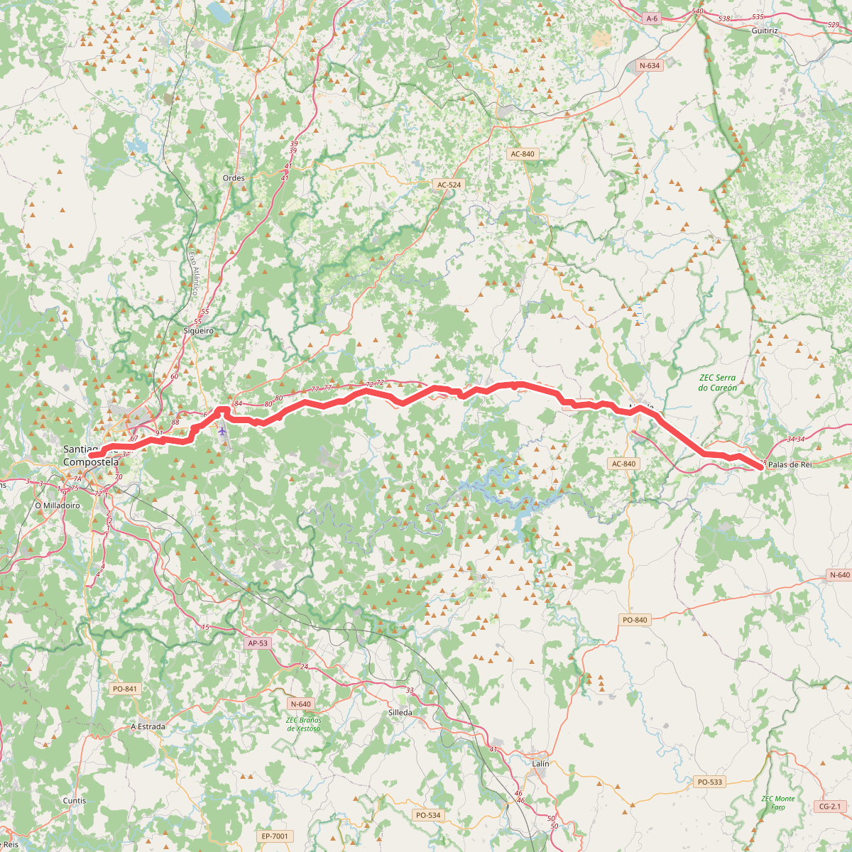
#1. Camiño Francés - 08 Palas de Rei a Compostela
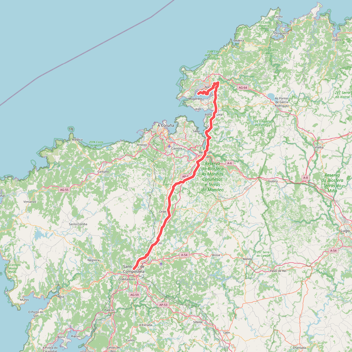
#2. Camiño Inglés
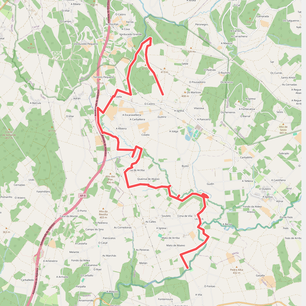
#3. Ruta da Fraga aos Muíños
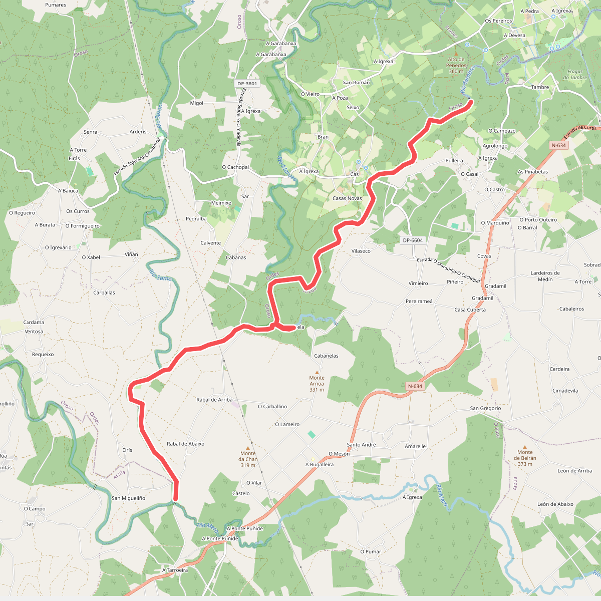
#4. Senda Fluvial da Tarroeira
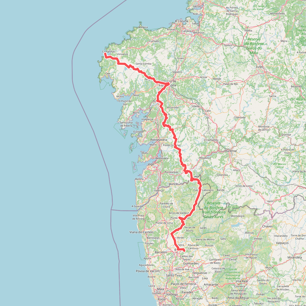
#5. Via Mariana
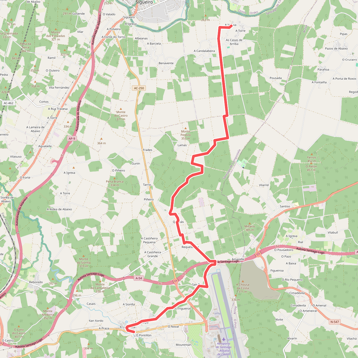
#6. Xiro Grande dos Montes 02 A Lavacolla - A Igrexa
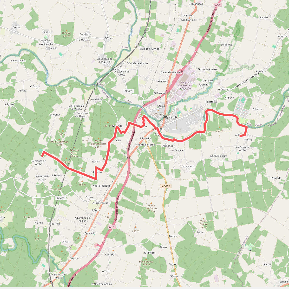
#7. Xiro Grande dos Montes 03 A Igrexa - Carballeira de Nemenzo