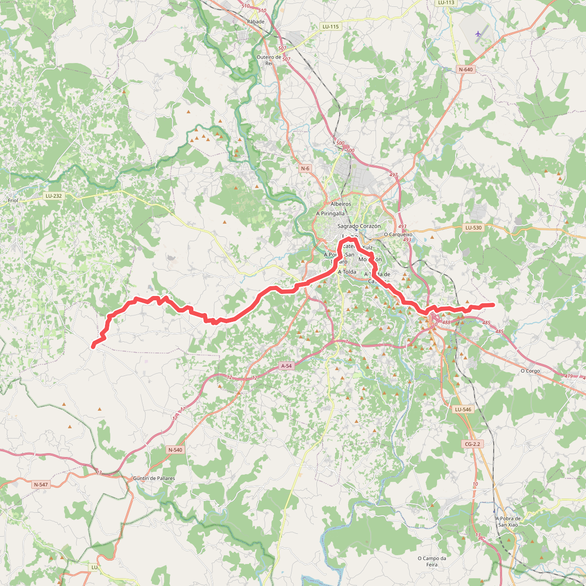
The best hiking routes in ZEC Parga-Ladra-Támoga
Discover the best walks in ZEC Parga-Ladra-Támoga. 9 routes on the map, with descriptions, photos and GPX.
Managed by Xunta de Galicia
About ZEC Parga-Ladra-Támoga
ZEC Parga-Ladra-Támoga is a low-lying Galician river corridor defined by the slow movement of water through flat agricultural basins. Unlike the rugged coastal cliffs or high mountain ranges of northern Spain, this protected area consists of wide, gently sloping valleys where the Parga, Ladra, and Támoga rivers frequently overflow. Walkers will find a landscape shaped by seasonal flooding, characterized by extensive wet oak woods, known locally as fragas, and marshy meadows separated by traditional stone walls and hedgerows.
Read more
About ZEC Parga-Ladra-Támoga
ZEC Parga-Ladra-Támoga is a low-lying Galician river corridor defined by the slow movement of water through flat agricultural basins. Unlike the rugged coastal cliffs or high mountain ranges of northern Spain, this protected area consists of wide, gently sloping valleys where the Parga, Ladra, and Támoga rivers frequently overflow. Walkers will find a landscape shaped by seasonal flooding, characterized by extensive wet oak woods, known locally as fragas, and marshy meadows separated by traditional stone walls and hedgerows.
Read moreZEC Parga-Ladra-Támoga is a low-lying Galician river corridor defined by the slow movement of water through flat agricultural basins. Unlike the rugged coastal cliffs or high mountain ranges of northern Spain, this protected area consists of wide, gently sloping valleys where the Parga, Ladra, and Támoga rivers frequently overflow. Walkers will find a landscape shaped by seasonal flooding, characterized by extensive wet oak woods, known locally as fragas, and marshy meadows separated by traditional stone walls and hedgerows.
Underfoot, the terrain alternates between soft, damp earth tracks through the alluvial forests and firmer gravel lanes that connect small farming hamlets. There are no steep climbs or dramatic viewpoints here; instead, the paths follow the flat riverbanks, occasionally crossing old stone bridges or passing traditional watermills. The vegetation changes visibly as you move away from the water, shifting from alder and willow thickets at the river's edge to damp heaths dominated by gorse and heather on the slightly higher, acidic soils.
Because the area is a working rural landscape, you will share the tracks with local agricultural vehicles, and some sections can be muddy. The river levels fluctuate significantly, meaning some low-lying paths near the water's edge may be impassable during the wetter winter months, while late spring brings thick green canopy cover and blooming riverside meadows. It is a quiet, low-key destination suited for those who prefer level, slow-paced walking through a mix of woodland and traditional pasture.
Hiking routes in ZEC Parga-Ladra-Támoga (9)
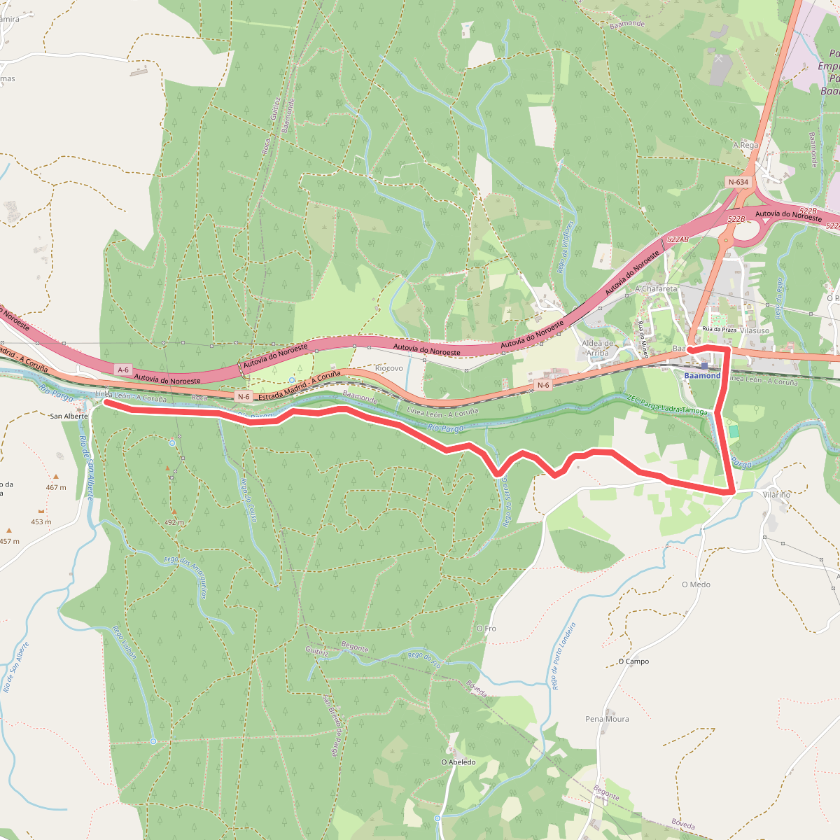
#1. Camiño do Norte (Galicia) · Baamonde – San Breixo de Parga
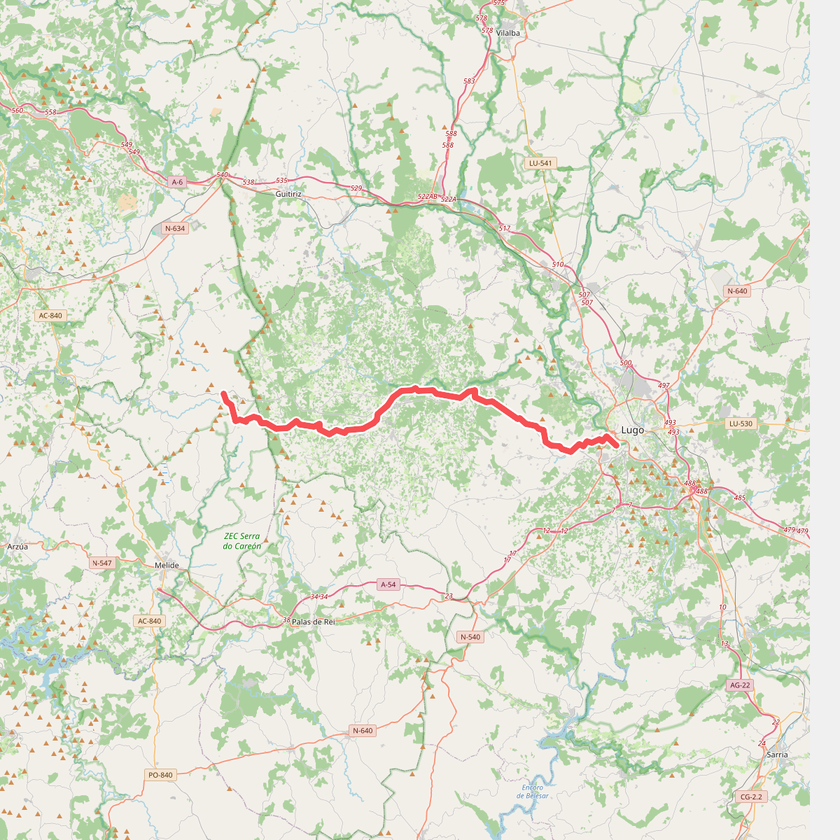
#2. Camino Primitivo (alternativa norte)
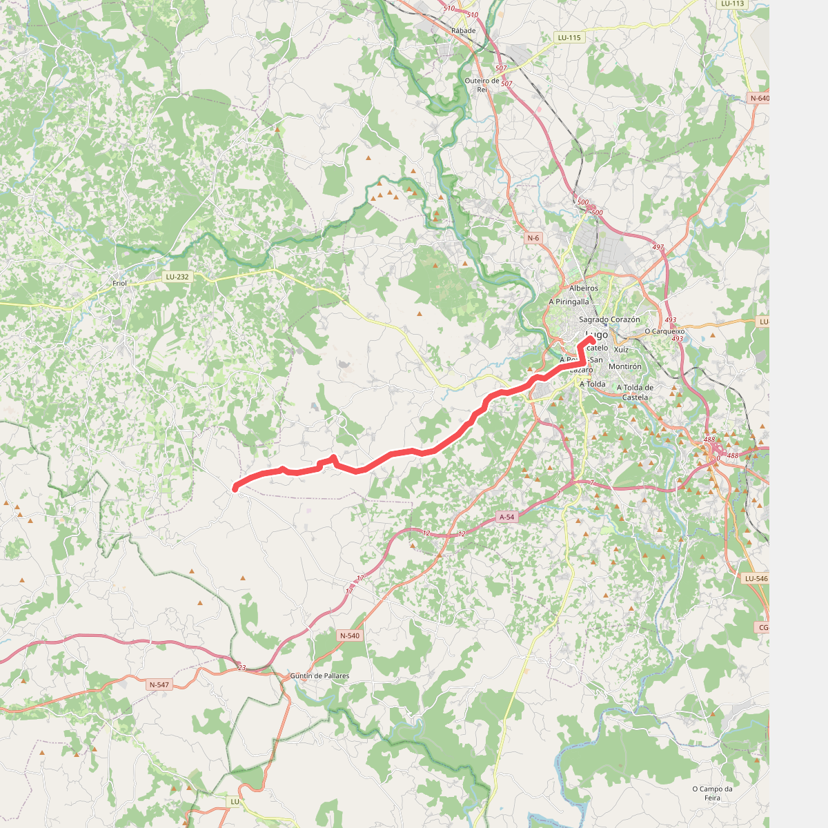
#3. Etapa 10: Lugo - San Romao da Retorta
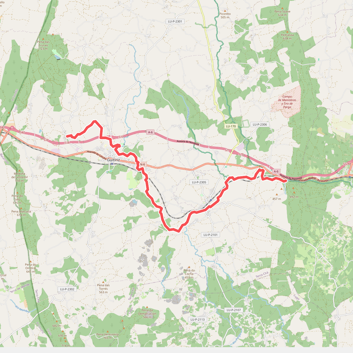
#4. Ruta da agua de Guitiriz
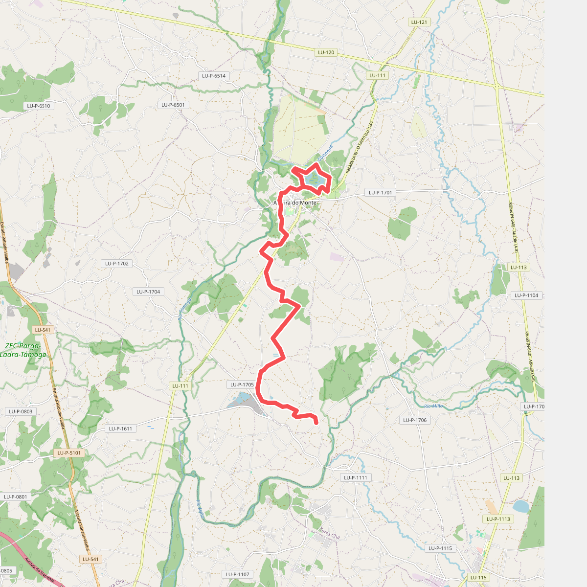
#5. Ruta das Lagoas
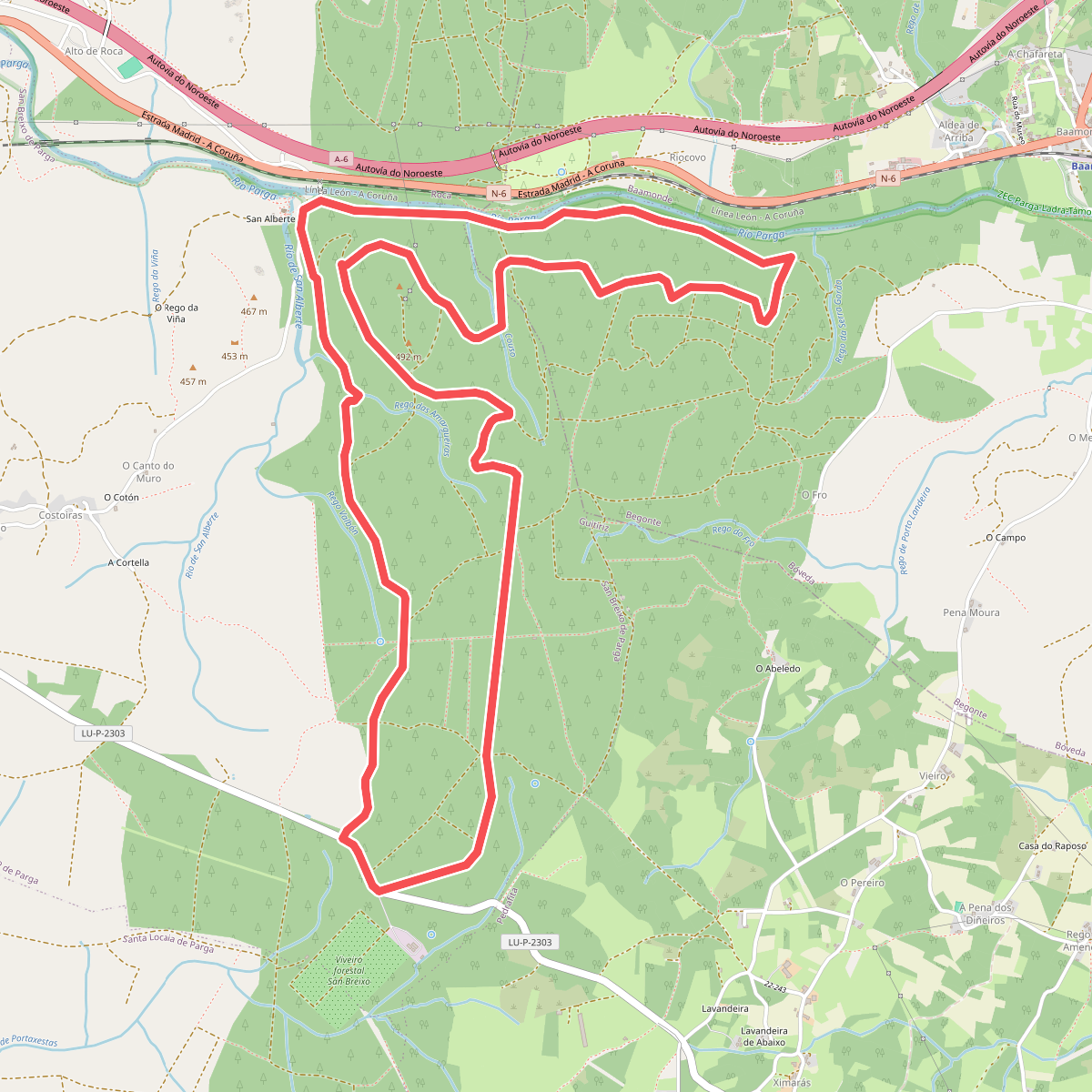
#6. Ruta de Sendeirismo das Bidueiras
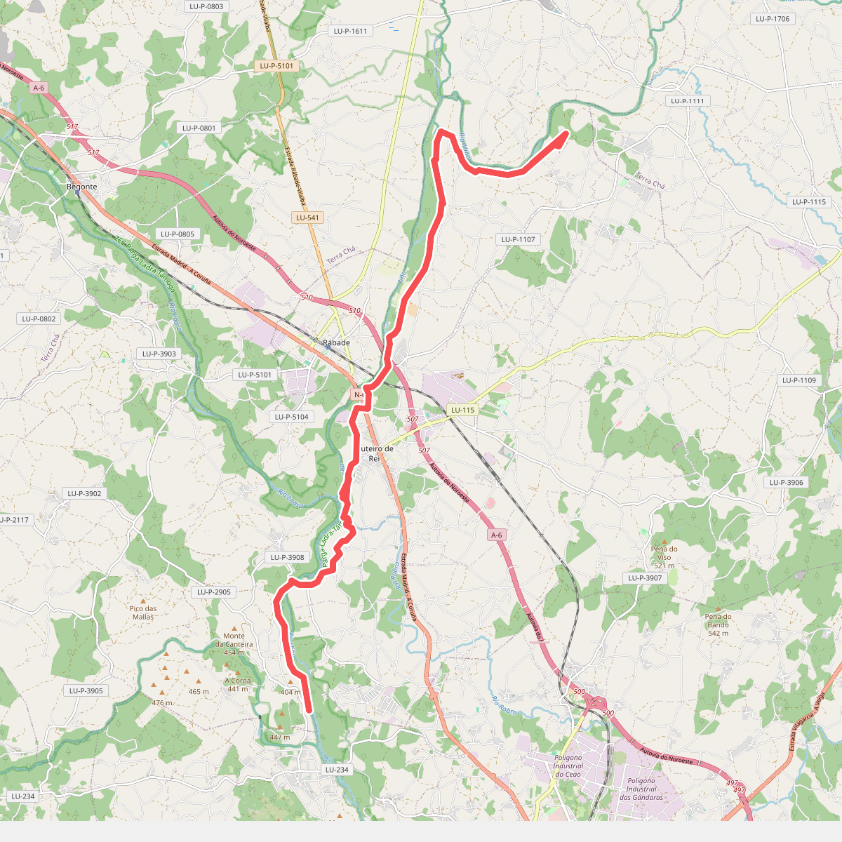
#7. Ruta do Camiño do Miño
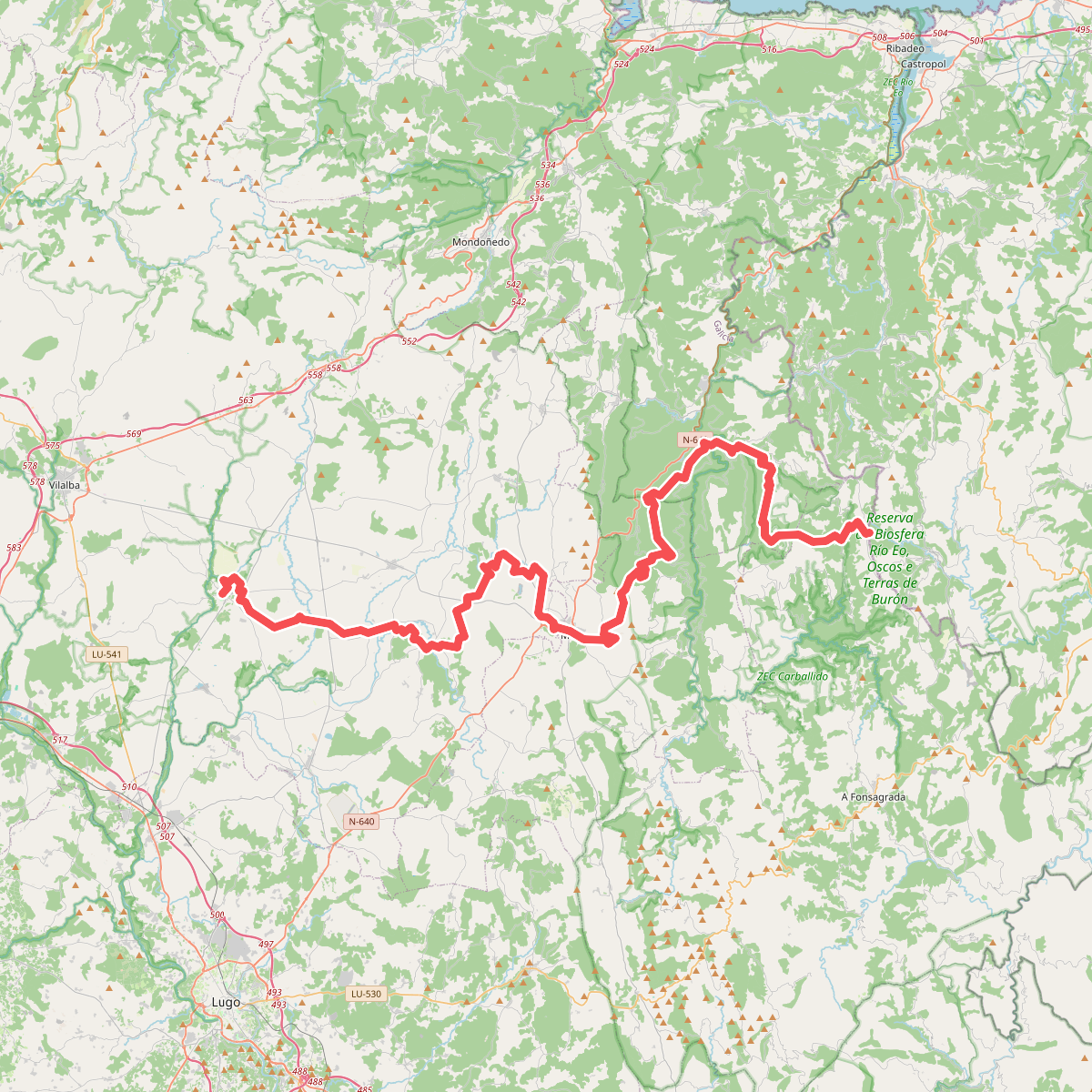
#8. Sendeiro Histórico: Galicia