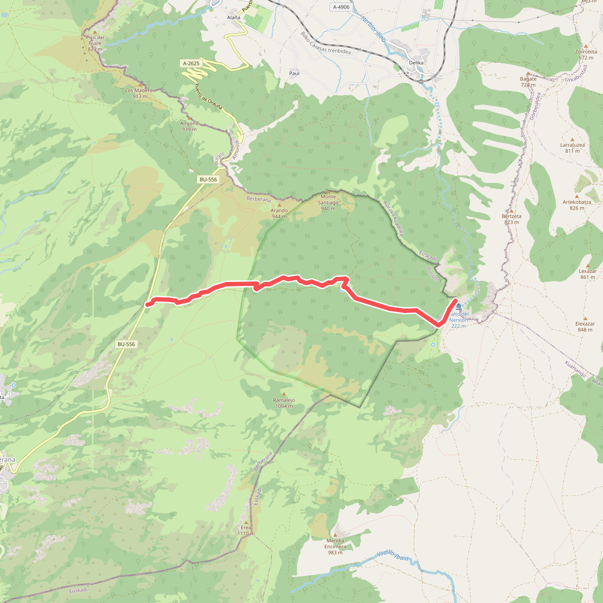
The best hiking routes in ZEC Monte Santiago
Discover the best walks in ZEC Monte Santiago. 14 routes on the map, with descriptions, photos and GPX.
About ZEC Monte Santiago
ZEC Monte Santiago is a limestone plateau in northern Spain where the landscape is defined by a sudden, dramatic drop. Unlike the rolling hills of the surrounding valleys, this protected area consists of a dense beech forest that grows right up to the edge of a sheer cliff face. The main draw is the Salto del Nervión, a waterfall that plunges over the canyon wall, though the stream bed is often dry outside of the winter and spring runoff months. Walking here means moving between the deep shade of the beech canopy and the exposed, rocky rim of the canyon.
Read more
About ZEC Monte Santiago
ZEC Monte Santiago is a limestone plateau in northern Spain where the landscape is defined by a sudden, dramatic drop. Unlike the rolling hills of the surrounding valleys, this protected area consists of a dense beech forest that grows right up to the edge of a sheer cliff face. The main draw is the Salto del Nervión, a waterfall that plunges over the canyon wall, though the stream bed is often dry outside of the winter and spring runoff months. Walking here means moving between the deep shade of the beech canopy and the exposed, rocky rim of the canyon.
Read moreZEC Monte Santiago is a limestone plateau in northern Spain where the landscape is defined by a sudden, dramatic drop. Unlike the rolling hills of the surrounding valleys, this protected area consists of a dense beech forest that grows right up to the edge of a sheer cliff face. The main draw is the Salto del Nervión, a waterfall that plunges over the canyon wall, though the stream bed is often dry outside of the winter and spring runoff months. Walking here means moving between the deep shade of the beech canopy and the exposed, rocky rim of the canyon.
Underfoot, the paths are a mix of wide, flat forest tracks and rougher limestone paths near the cliffs. The terrain is generally level across the plateau, making it an accessible walk rather than a strenuous mountain climb. Because of the karst geology, water disappears quickly into sinkholes and caves, leaving the surface dry underfoot even when the forest itself feels damp. The contrast between the enclosed, mossy woodland and the open canyon edge is the defining feature of the route.
This area is well-known and the main viewpoint can become busy, particularly when the waterfall is active in the wetter months. For a quieter walk, the paths that loop through the interior beech woods away from the cliff edge offer a more solitary experience. There are no steep ascents or rugged peaks here, just a high limestone shelf that ends abruptly, offering clear views down into the Delika canyon below.
Hiking routes in ZEC Monte Santiago (14)
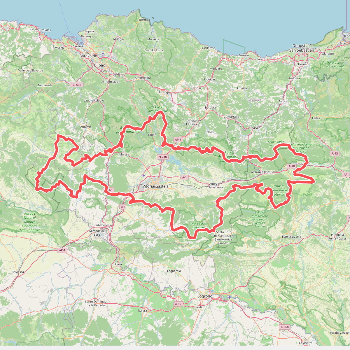
#1. Artzaintza naturbidea
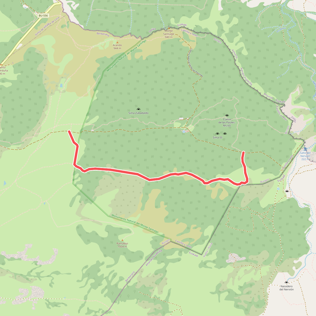
#2. Camino de Alterla
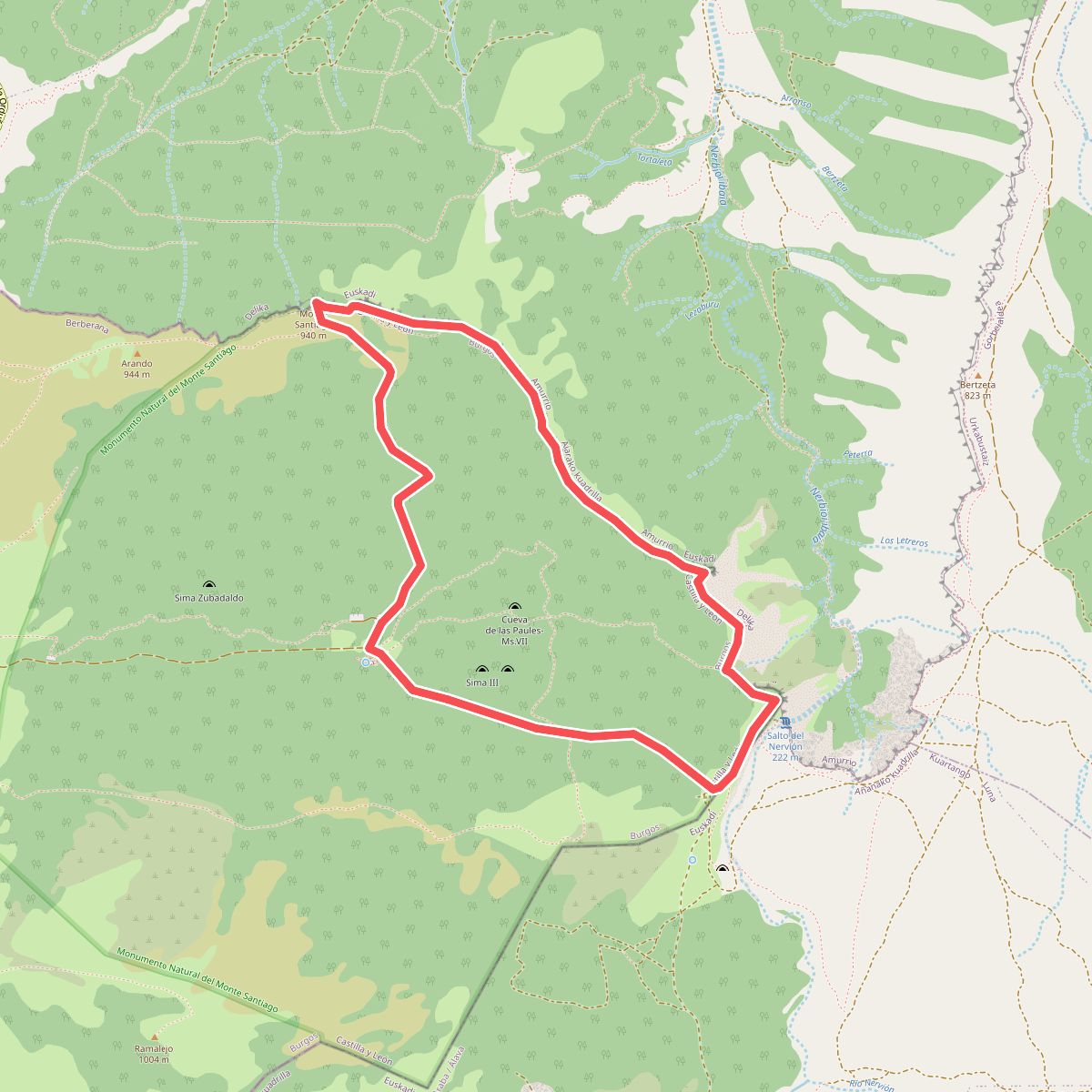
#3. Circular de los Miradores
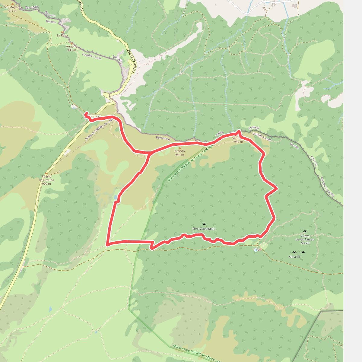
#4. Circular de los usos humanos
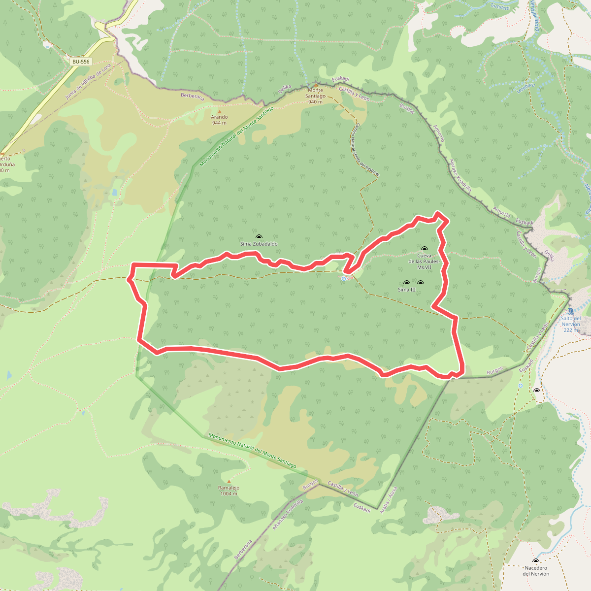
#5. Circular del Bosque
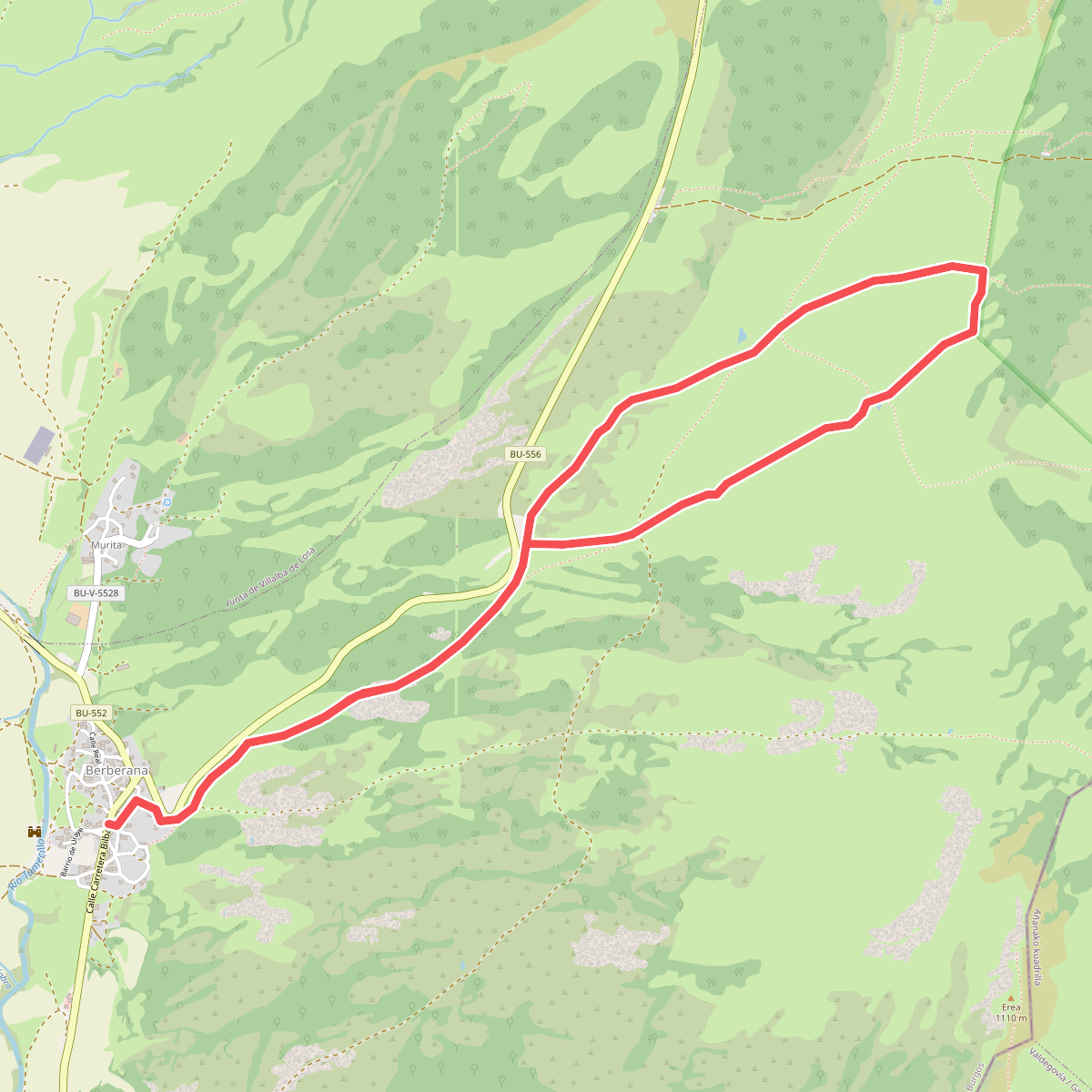
#6. Circular del encinar
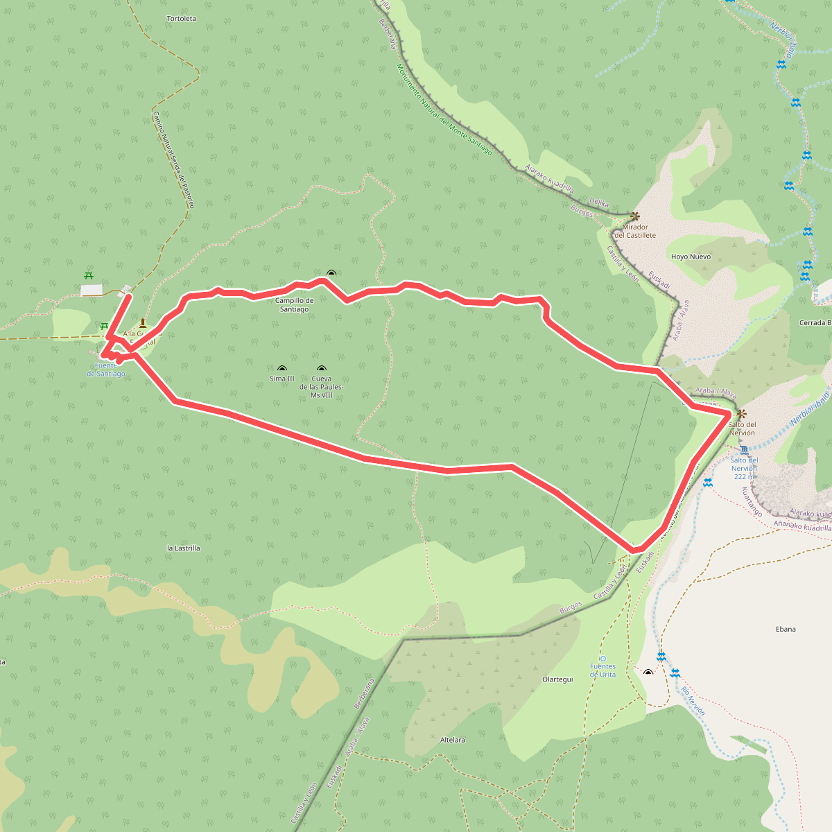
#7. Circular del Karst
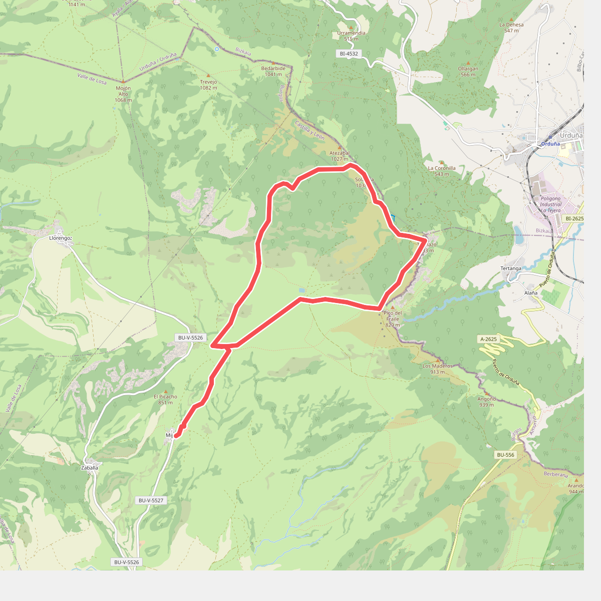
#8. Dehesa del agua
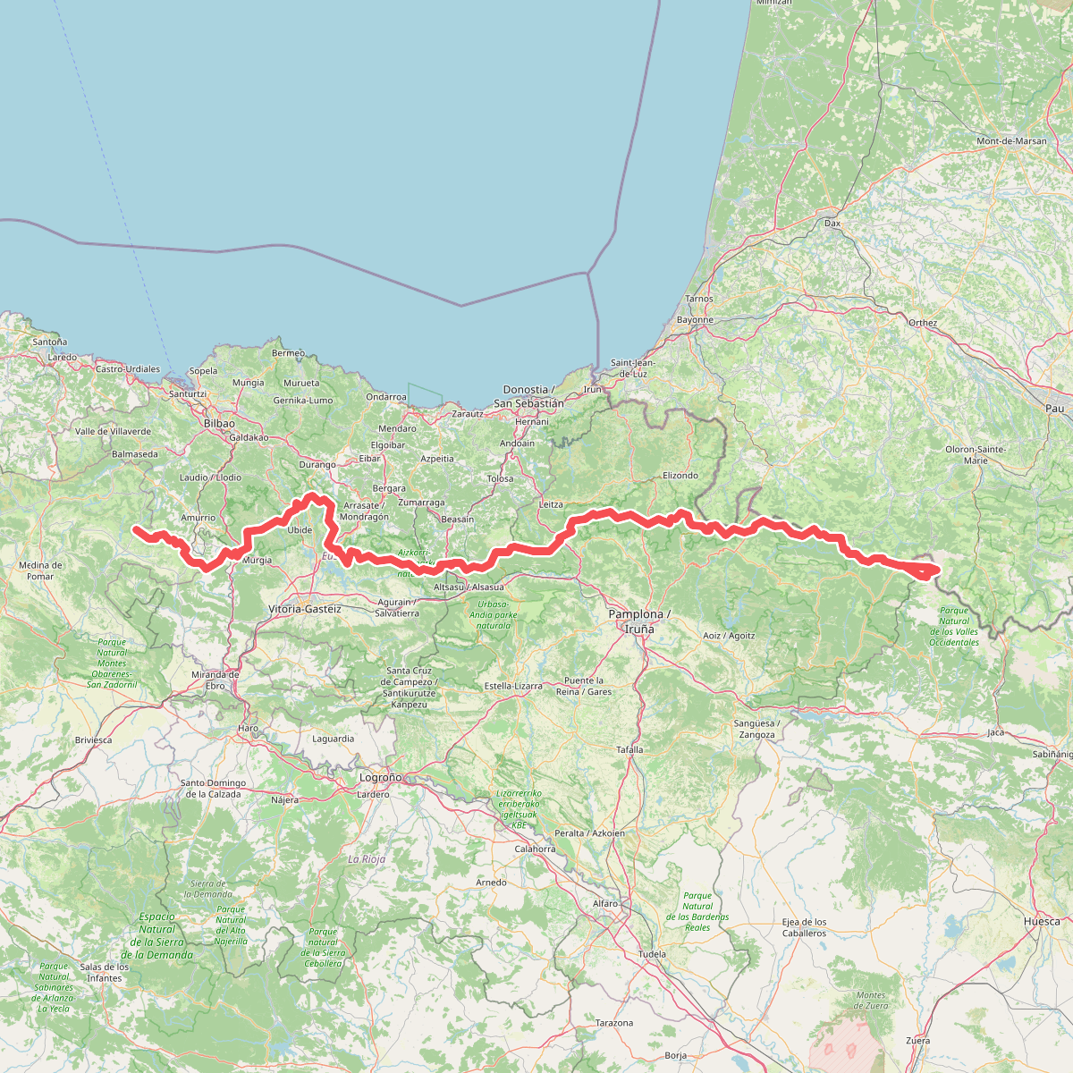
#9. Euskal Herriko ibilaldia
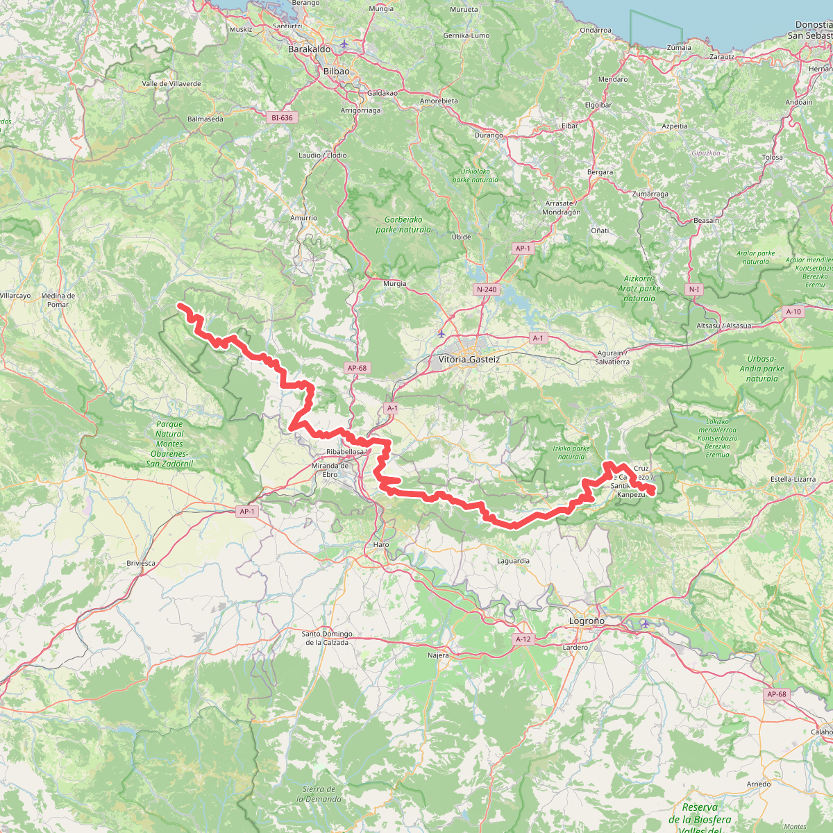
#10. Ibilbide historikoa: Araba
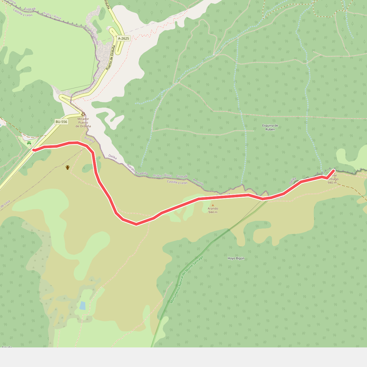
#11. Puerto de Orduña