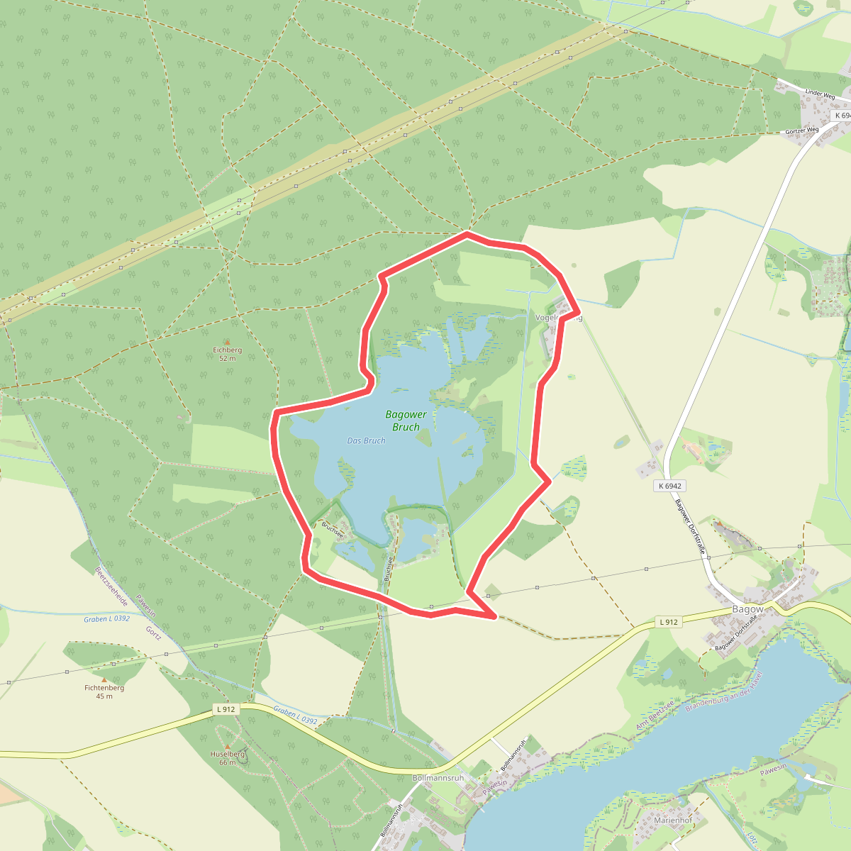
The best hiking routes in Westhavelland
Discover the best walks in Westhavelland. 22 routes on the map, with descriptions, photos and GPX.
About Westhavelland
Westhavelland is a flat, water-dominated landscape shaped by the wide glacial valley of the Havel River. Walkers here will find a mix of damp alluvial meadows, low-lying peat soils, and dry pine forests growing on inland sand dunes. The terrain does not offer hills or deep valleys; instead, the paths follow a network of dikes, grassy riverbanks, and sandy forest tracks. Because of the high water table, many paths through the meadows are simple dirt tracks that can be soft underfoot, while the pine woods offer firmer, sandy ground.
Read more
About Westhavelland
Westhavelland is a flat, water-dominated landscape shaped by the wide glacial valley of the Havel River. Walkers here will find a mix of damp alluvial meadows, low-lying peat soils, and dry pine forests growing on inland sand dunes. The terrain does not offer hills or deep valleys; instead, the paths follow a network of dikes, grassy riverbanks, and sandy forest tracks. Because of the high water table, many paths through the meadows are simple dirt tracks that can be soft underfoot, while the pine woods offer firmer, sandy ground.
Read moreWesthavelland is a flat, water-dominated landscape shaped by the wide glacial valley of the Havel River. Walkers here will find a mix of damp alluvial meadows, low-lying peat soils, and dry pine forests growing on inland sand dunes. The terrain does not offer hills or deep valleys; instead, the paths follow a network of dikes, grassy riverbanks, and sandy forest tracks. Because of the high water table, many paths through the meadows are simple dirt tracks that can be soft underfoot, while the pine woods offer firmer, sandy ground.
This area is defined by its extensive system of drainage ditches and slow-moving river branches, which you will cross on small wooden and concrete bridges. In April and May, the low meadows flood naturally, turning large sections of the walking routes into temporary wetlands where waterbirds gather. Unlike drier forest regions, the vegetation here changes rapidly over short distances, shifting from reeds and willows along the riverbanks to heather and dry mosses on the sandy elevations.
While the main trails near the towns of Rathenow and Milow are well-marked and have firmer surfaces, the deeper marshland paths require careful navigation. There are no boardwalk networks here, so walkers must stick to the raised dikes to avoid the wettest ground. It is a quiet landscape where the main features are the wide river bends, grazing cattle in the summer pastures, and the transition from damp soil to dry sand underfoot.
Hiking routes in Westhavelland (22)
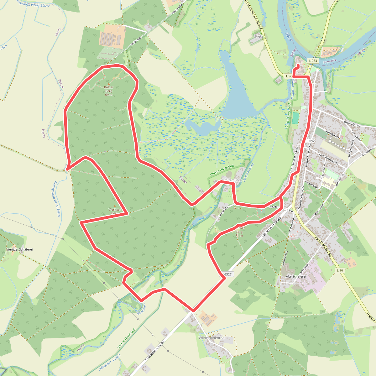
#1. 3-Berge-Tour
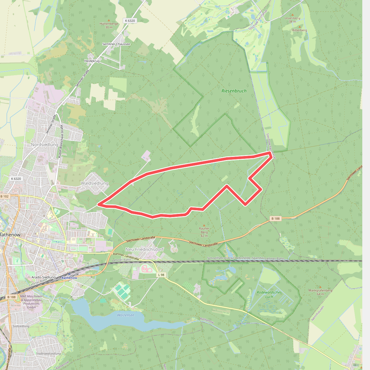
#2. Eschhorstwanderweg
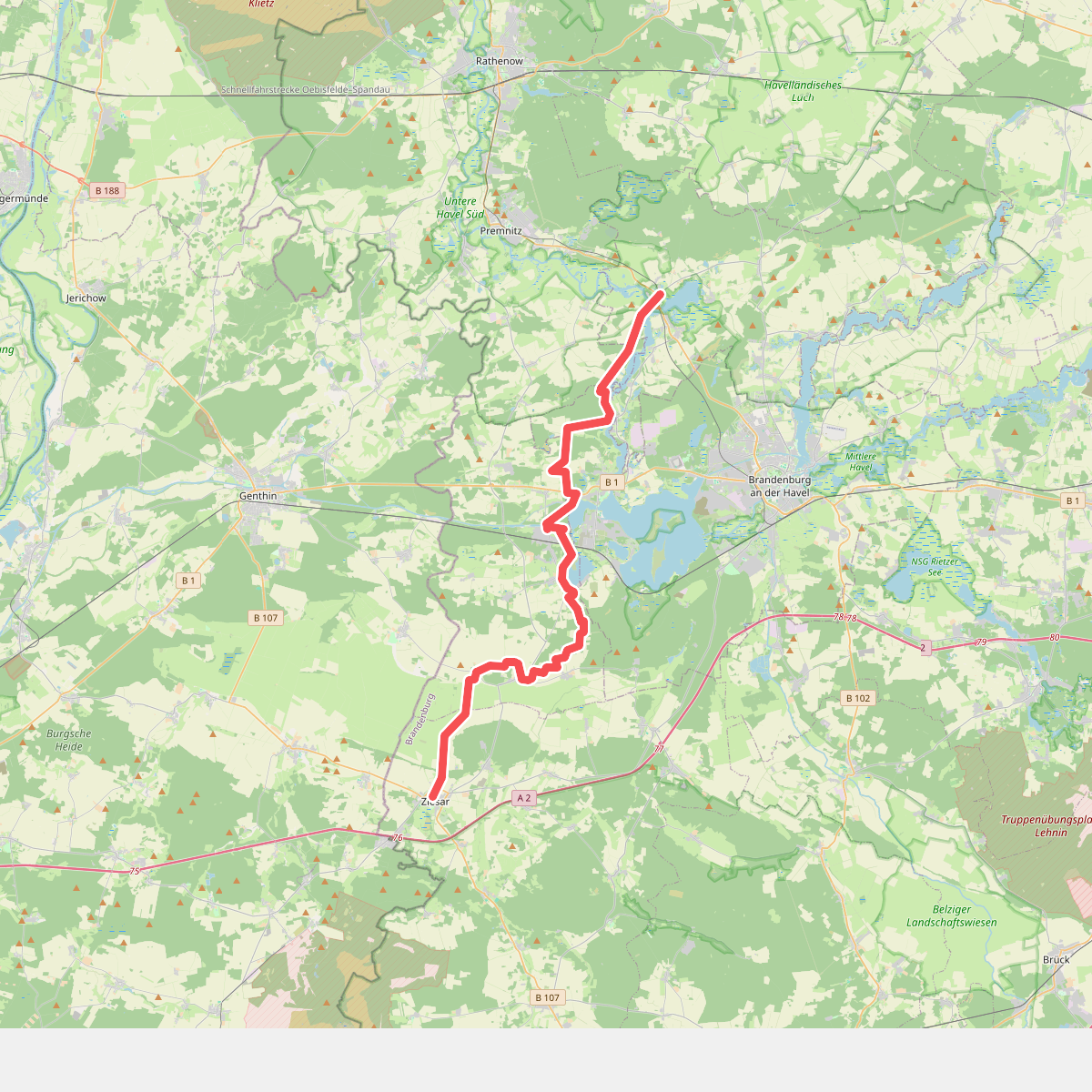
#3. Fiener-Bruch-Havel-Wanderweg
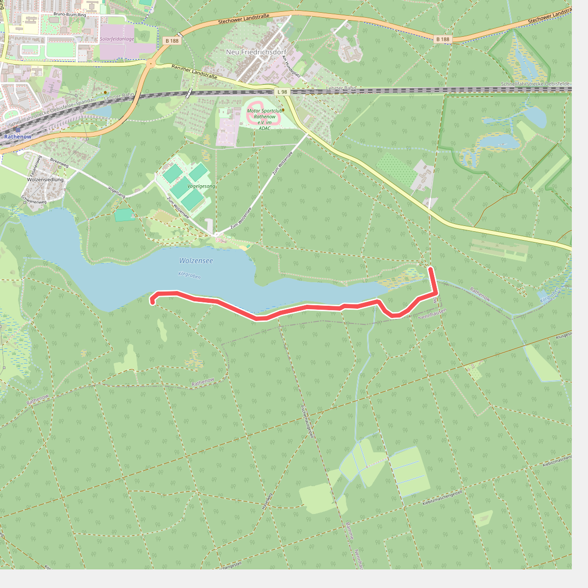
#4. Gelber Balken
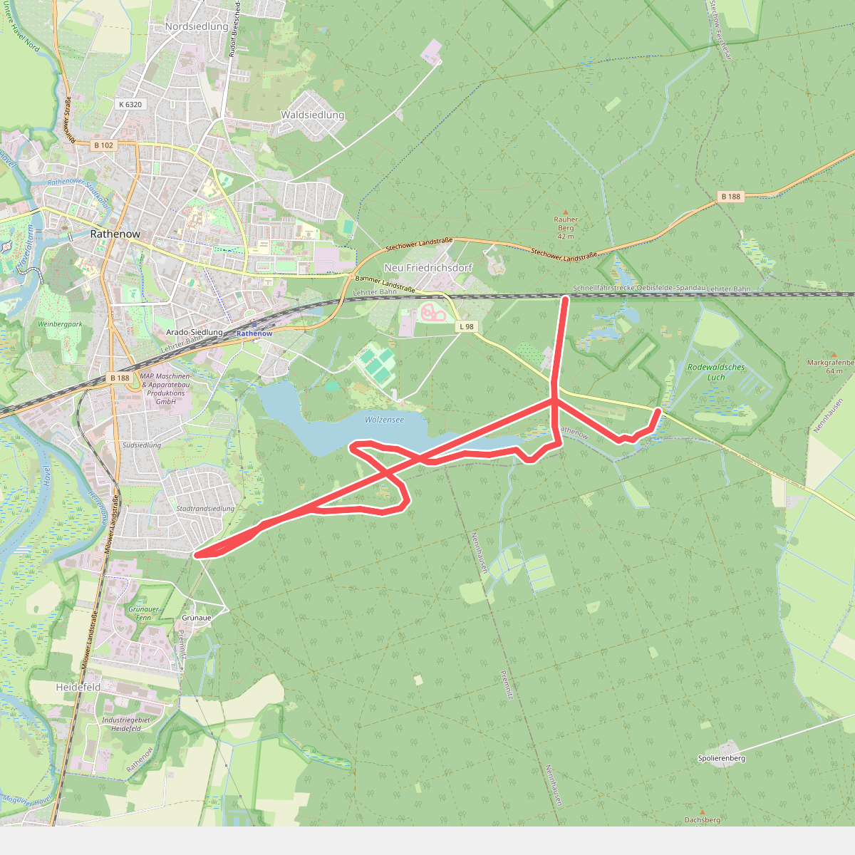
#5. Grüner Balken
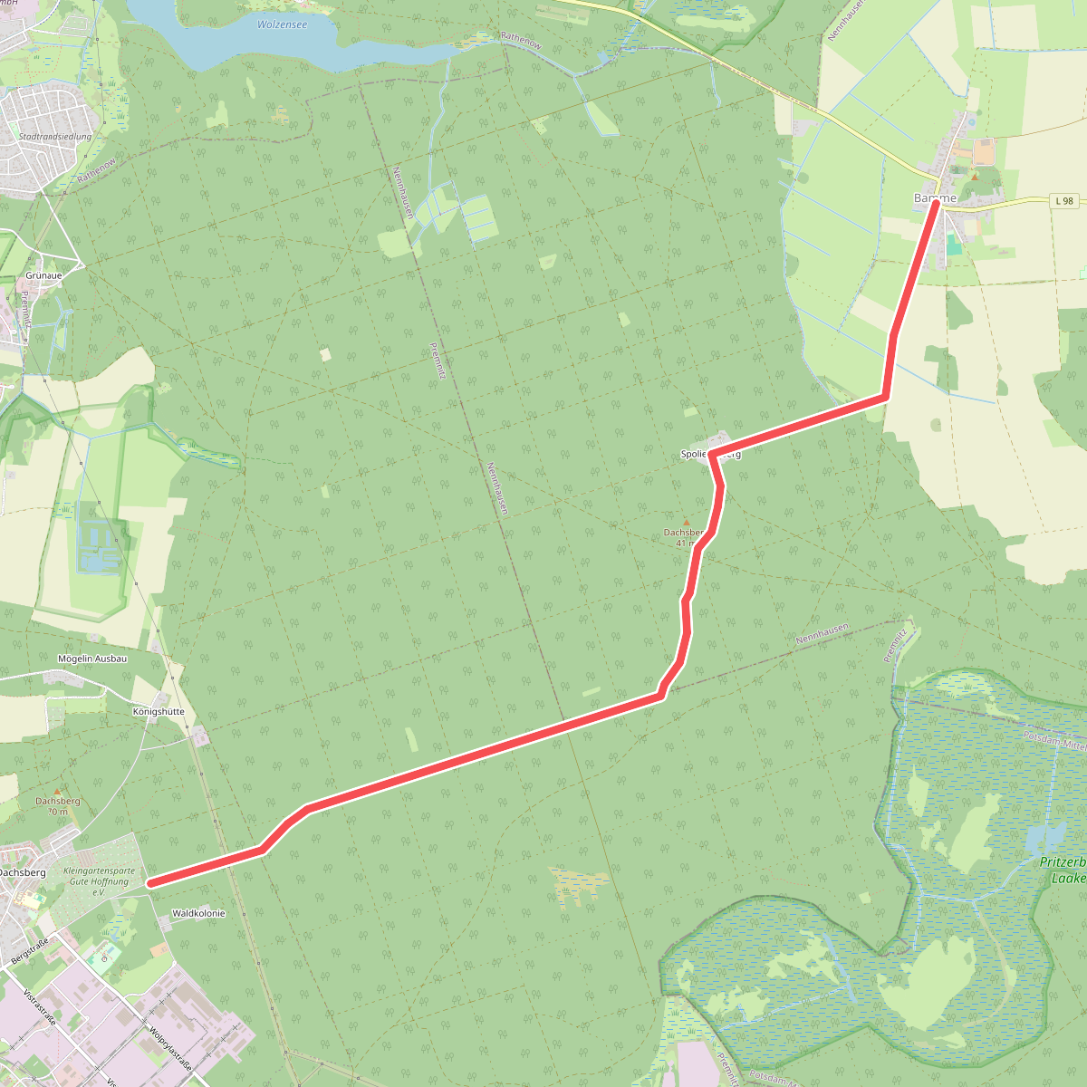
#6. Grüner Balken
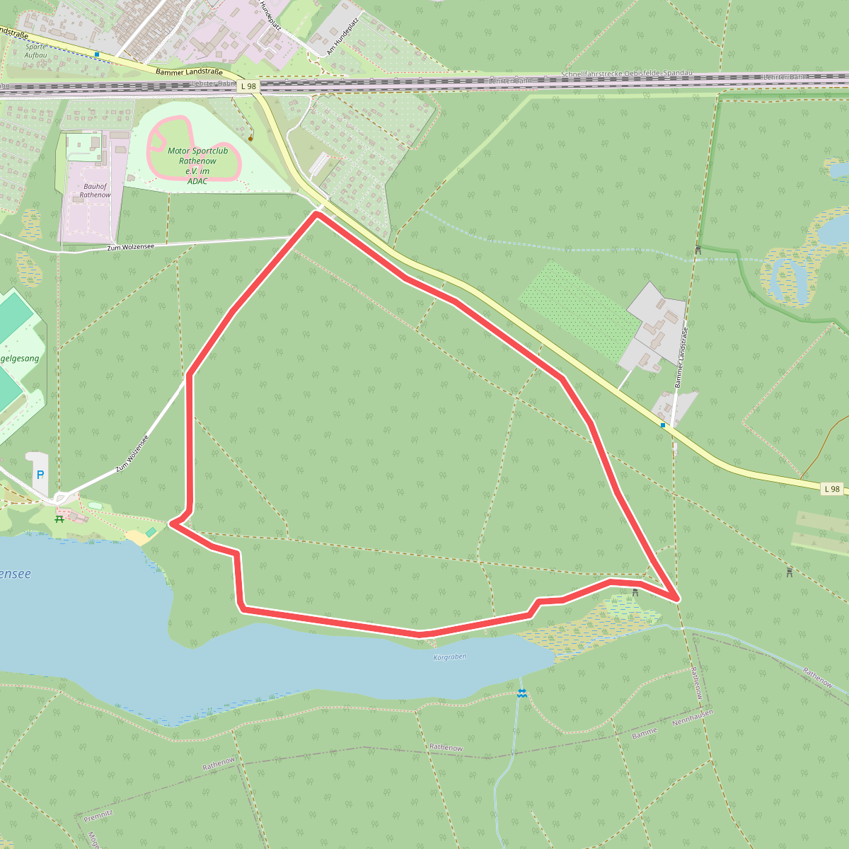
#7. Husarenwanderweg
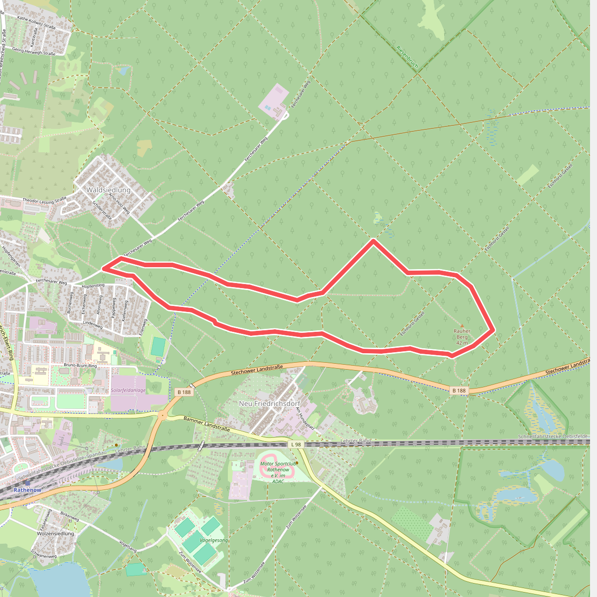
#8. Laufstrecken im Rathenower Stadtforst
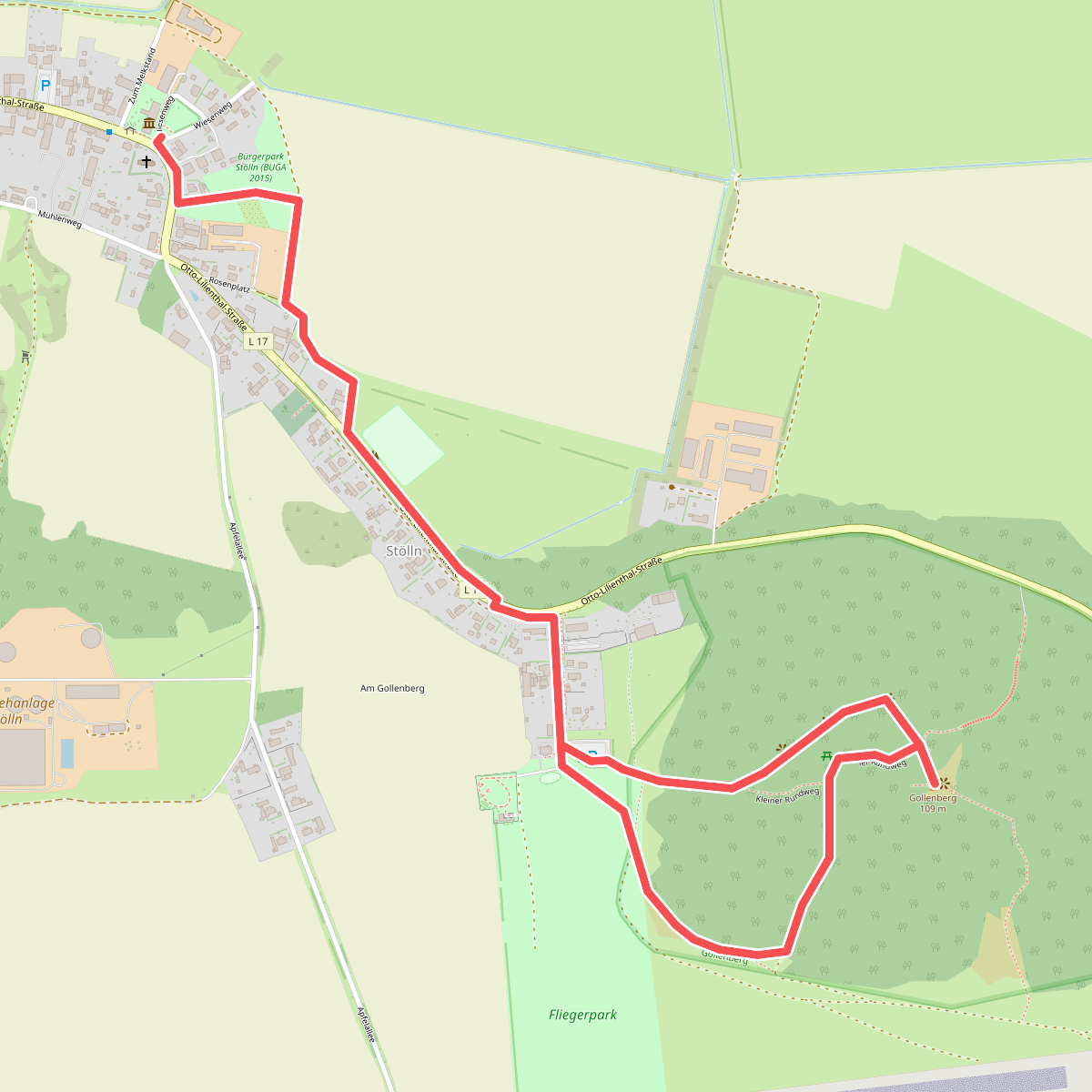
#9. Lilienthalpfad
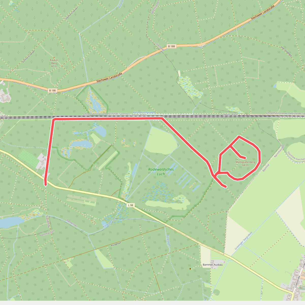
#10. Markgrafenwanderweg
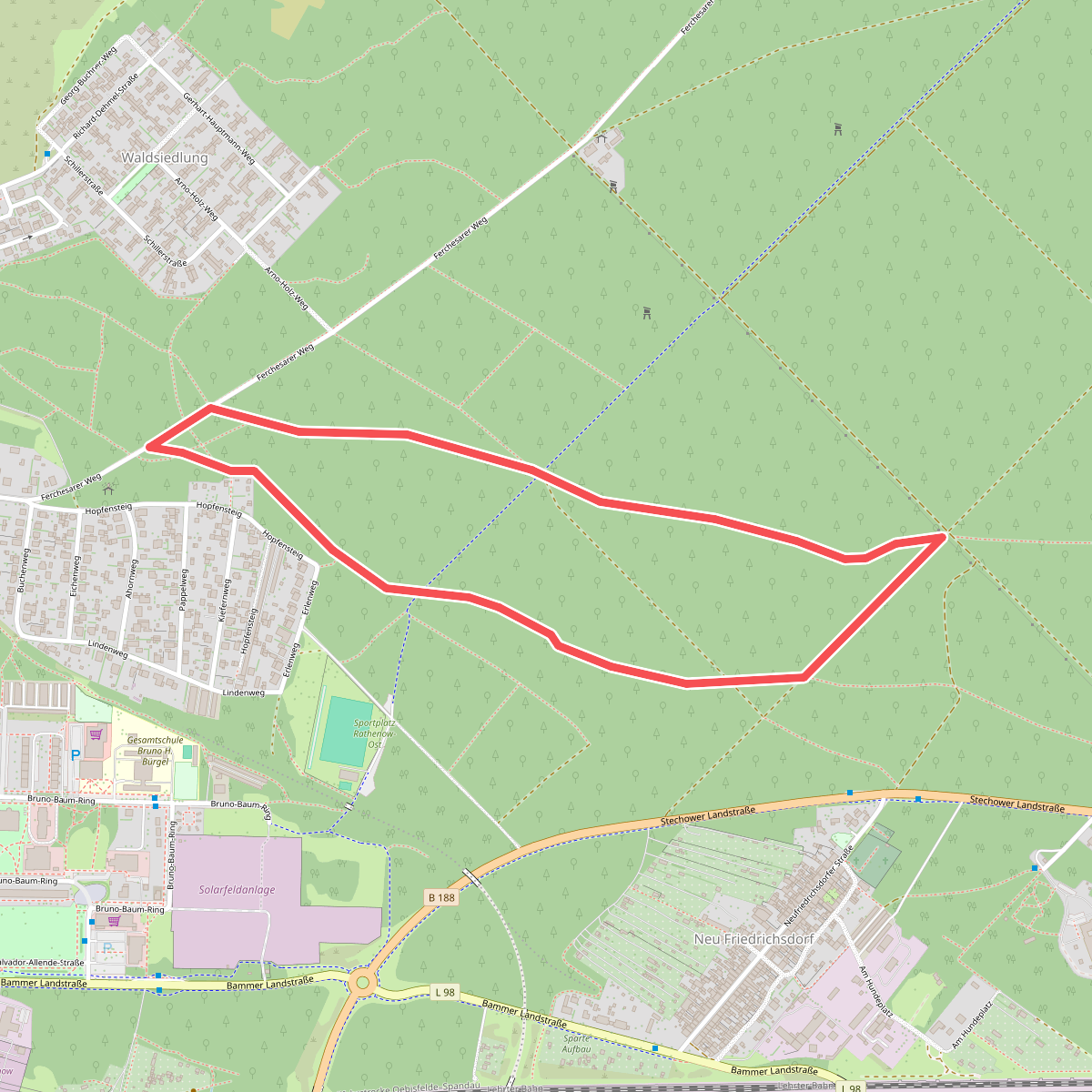
#11. Naturlehrpfad