The best hiking routes in Витоша
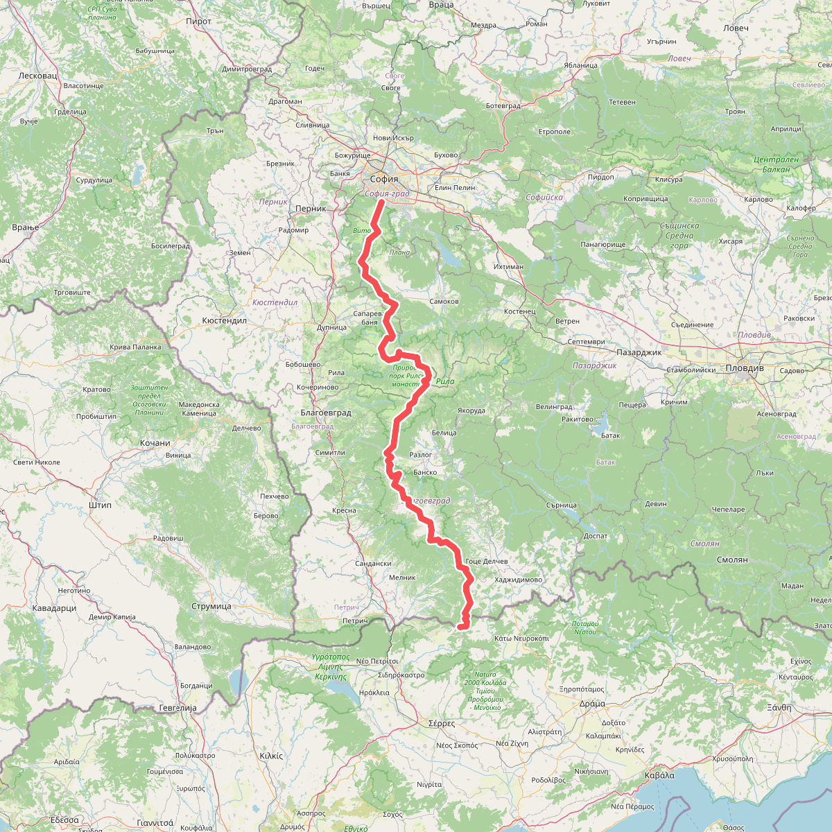
Discover the best walks in Витоша. 1 routes on the map, with descriptions, photos and GPX.
About Витоша
Vitoša rises as a massive, dome-shaped volcanic massif directly south of Sofia. Unlike the jagged, glaciated peaks of other Bulgarian ranges, this mountain is characterized by its broad, rounded ridges and gentle upper plateaus. Walkers will immediately notice the transition from dense deciduous forests of beech and oak on the lower slopes to dark spruce woods higher up, eventually opening into subalpine meadows. A defining feature of the landscape is the presence of stone rivers, which are long runs of huge, water-smoothed moraine boulders filling the valley bottoms.
Read more
About Витоша
Vitoša rises as a massive, dome-shaped volcanic massif directly south of Sofia. Unlike the jagged, glaciated peaks of other Bulgarian ranges, this mountain is characterized by its broad, rounded ridges and gentle upper plateaus. Walkers will immediately notice the transition from dense deciduous forests of beech and oak on the lower slopes to dark spruce woods higher up, eventually opening into subalpine meadows. A defining feature of the landscape is the presence of stone rivers, which are long runs of huge, water-smoothed moraine boulders filling the valley bottoms.
Read moreVitoša rises as a massive, dome-shaped volcanic massif directly south of Sofia. Unlike the jagged, glaciated peaks of other Bulgarian ranges, this mountain is characterized by its broad, rounded ridges and gentle upper plateaus. Walkers will immediately notice the transition from dense deciduous forests of beech and oak on the lower slopes to dark spruce woods higher up, eventually opening into subalpine meadows. A defining feature of the landscape is the presence of stone rivers, which are long runs of huge, water-smoothed moraine boulders filling the valley bottoms.
Underfoot, the terrain varies from wide, stony dirt tracks and forested paths to wet, peat-covered soils on the high plateau. In the upper zones, particularly around the Cherni Vrah summit, the ground is often boggy and crossed by simple wooden planks or marked by tall metal winter stakes. The open plateau lacks natural shelter, meaning the vegetation is limited to low juniper bushes, mosses, and alpine grasses that turn a deep golden brown by October.
This mountain is highly accessible, which means the northern trails closest to the cabin lifts and trailheads like Zlatnite Mostove are frequently busy. Those seeking quieter walks should head to the southern and western slopes, where the valleys are deeper and the paths are far less frequented. Walkers should expect steady, sometimes steep climbs through the forest zone before reaching the exposed, windy plateau, rather than sharp ridges or dramatic rock walls.