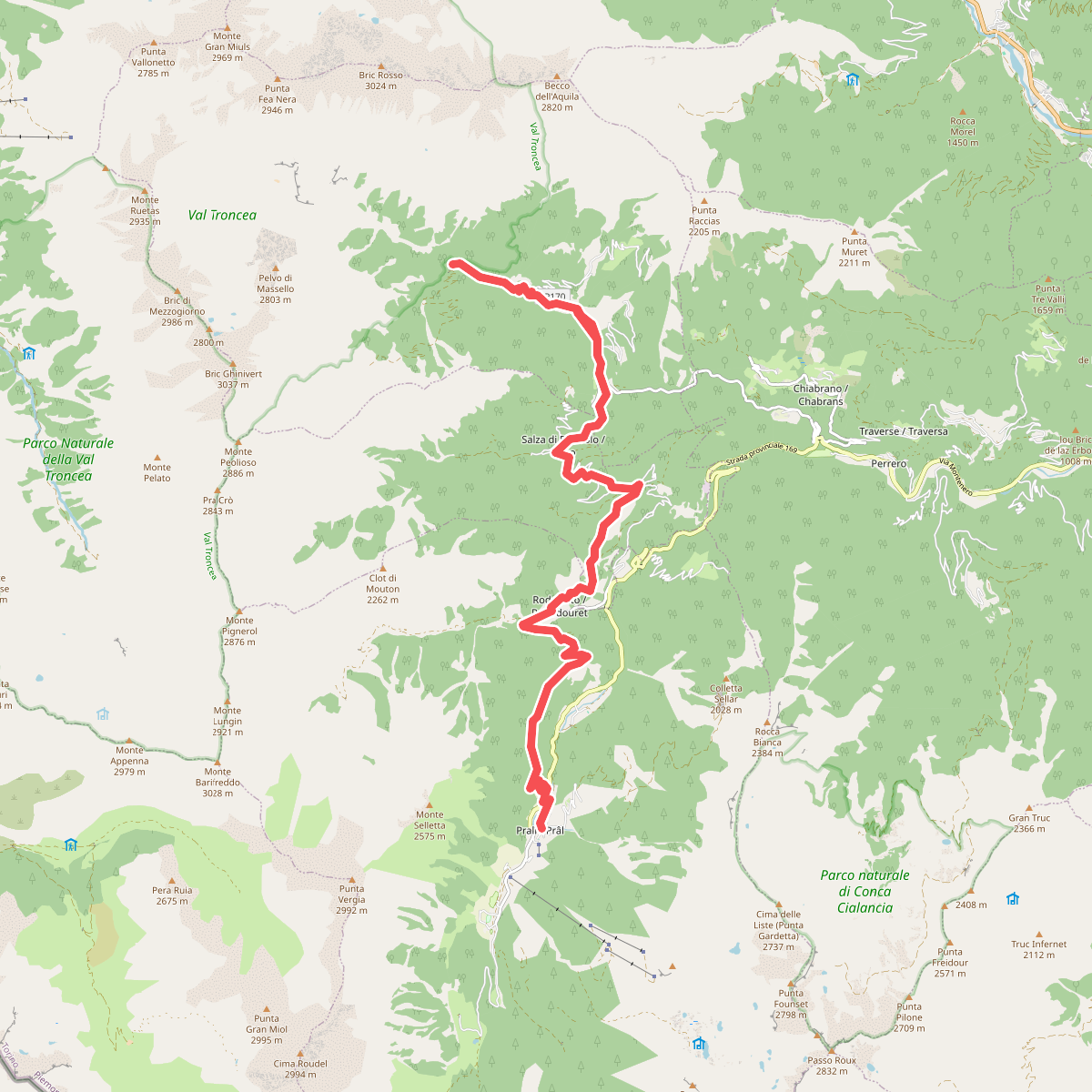
The best hiking routes in Val Troncea
Discover the best walks in Val Troncea. 8 routes on the map, with descriptions, photos and GPX.
About Val Troncea
Val Troncea offers a walking experience defined by a wide, flat-bottomed glacial valley that rises gradually into steep larch forests and high alpine pastures. Unlike rugged, jagged peaks that dominate other parts of the Cottian Alps, this valley is characterized by its U-shaped floor, where the Chisone torrent has deposited gravel and shaped wide shingle beds. As you walk, you will notice how the valley floor is relatively open and easy to navigate, while the lateral slopes rise abruptly, covered in dense larch woods that thin out into alpine meadows at higher elevations.
Read more
About Val Troncea
Val Troncea offers a walking experience defined by a wide, flat-bottomed glacial valley that rises gradually into steep larch forests and high alpine pastures. Unlike rugged, jagged peaks that dominate other parts of the Cottian Alps, this valley is characterized by its U-shaped floor, where the Chisone torrent has deposited gravel and shaped wide shingle beds. As you walk, you will notice how the valley floor is relatively open and easy to navigate, while the lateral slopes rise abruptly, covered in dense larch woods that thin out into alpine meadows at higher elevations.
Read moreVal Troncea offers a walking experience defined by a wide, flat-bottomed glacial valley that rises gradually into steep larch forests and high alpine pastures. Unlike rugged, jagged peaks that dominate other parts of the Cottian Alps, this valley is characterized by its U-shaped floor, where the Chisone torrent has deposited gravel and shaped wide shingle beds. As you walk, you will notice how the valley floor is relatively open and easy to navigate, while the lateral slopes rise abruptly, covered in dense larch woods that thin out into alpine meadows at higher elevations.
Underfoot, the paths transition from wide, flat dirt tracks along the valley floor to steep, stony mule tracks and narrow dirt paths as you climb the slopes. The lower sections are straightforward and accessible, but ascending towards the old mining sites or alpine passes requires navigating loose scree and rocky steps. Traces of the valley's pastoral and industrial past are visible along the trails, from the stone ruins of old alpine chalets to the scars of historical copper mining on the higher slopes.
The valley is generally quieter than the nearby resort areas, though the main track along the torrent attracts more visitors during the peak summer months of July and August. Walking here is about appreciating the transition from the forested valley floor to the sparse, wind-swept pastures near the peaks, without the presence of dramatic glaciers or sheer vertical rock walls.
Hiking routes in Val Troncea (8)
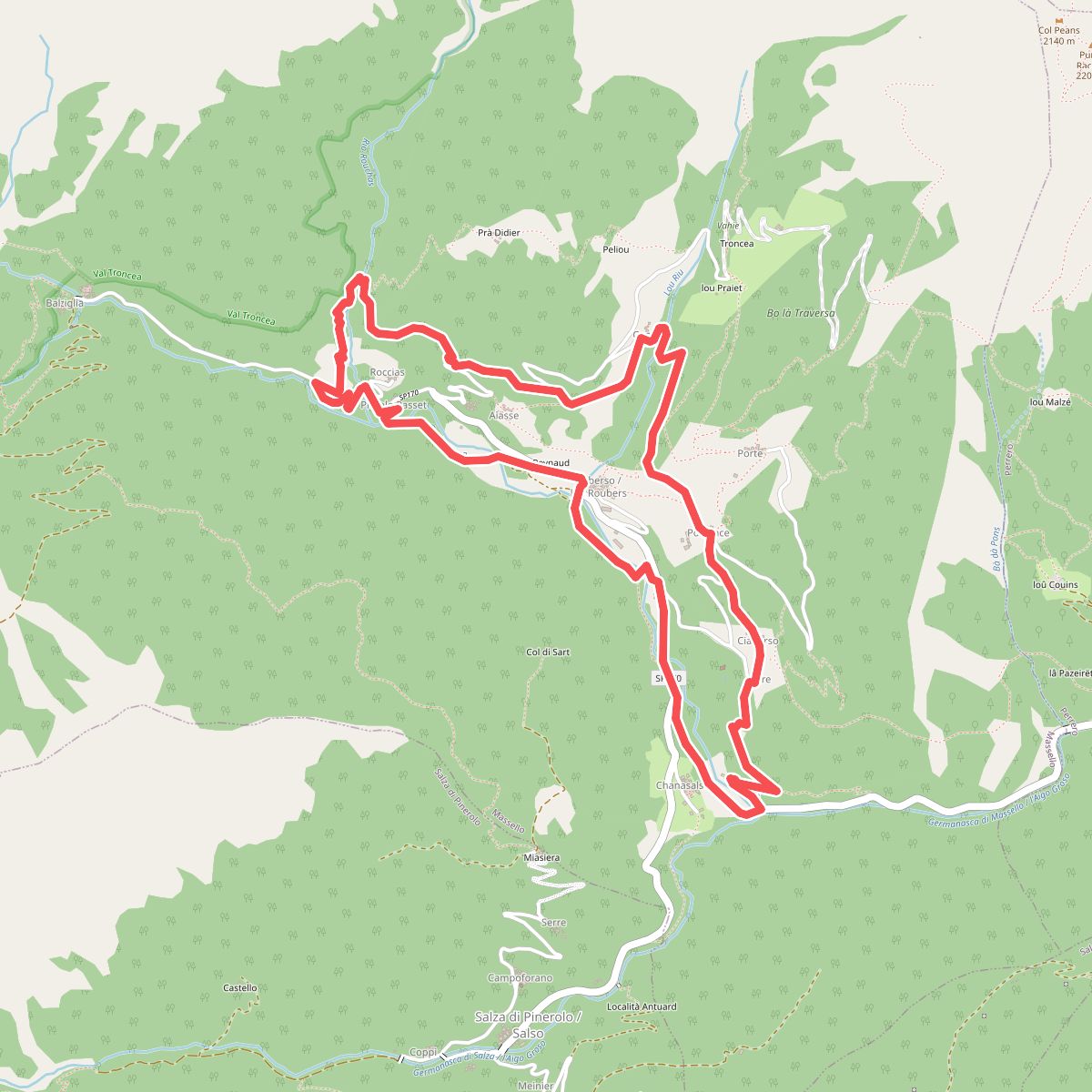
#1. La ruota e l'acqua
Massello
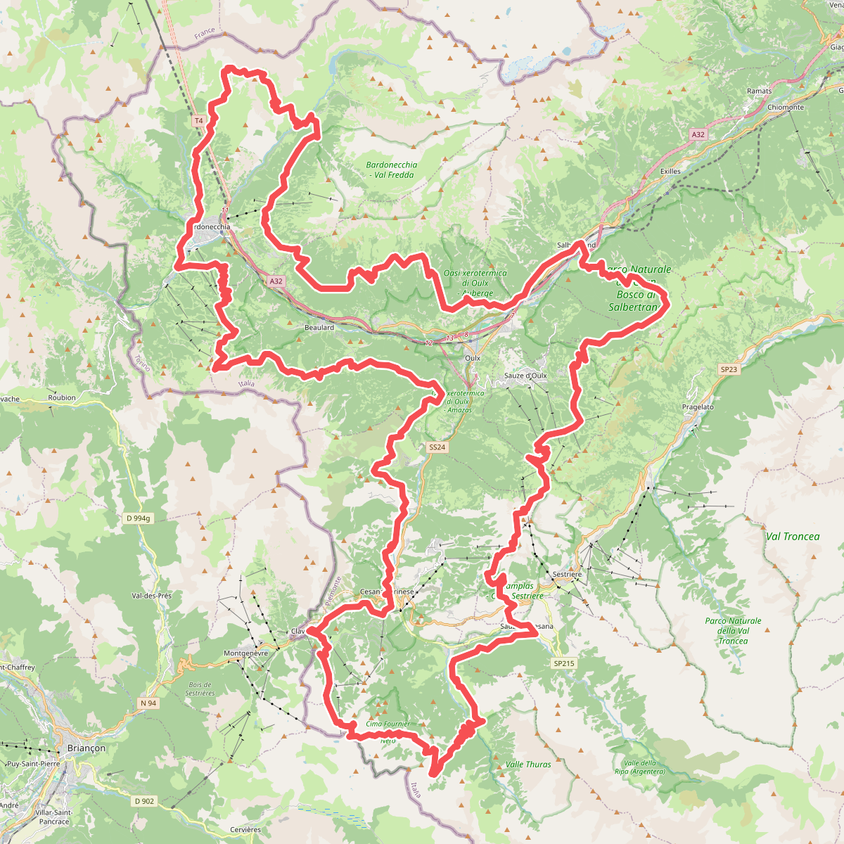
#2. Sentiero Balcone
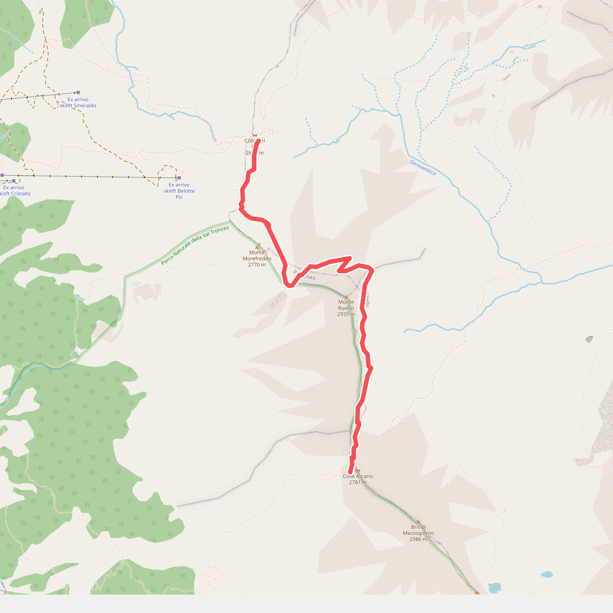
#3. Sentiero degli Alpini
Massello,Pragelato
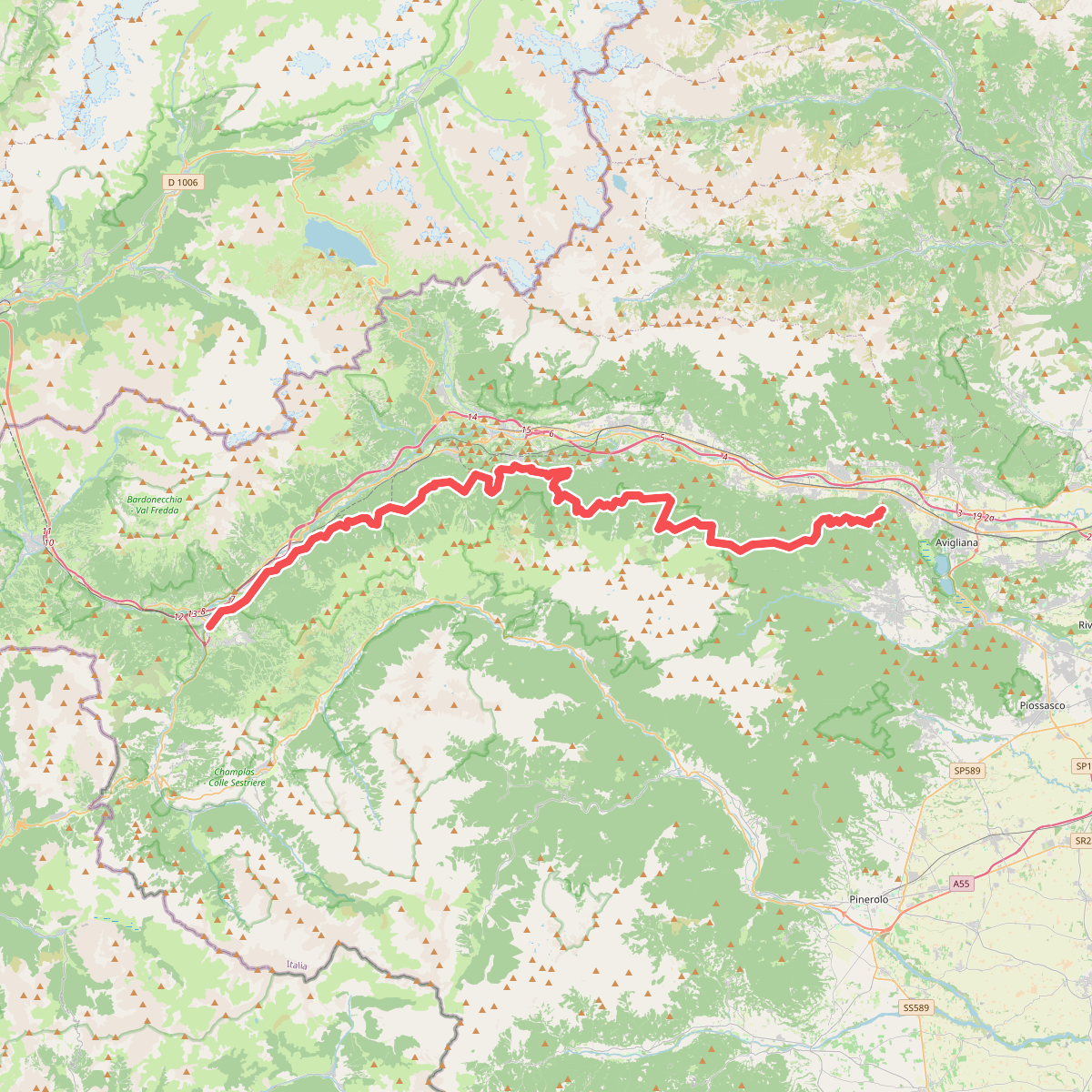
#4. Sentiero dei Franchi
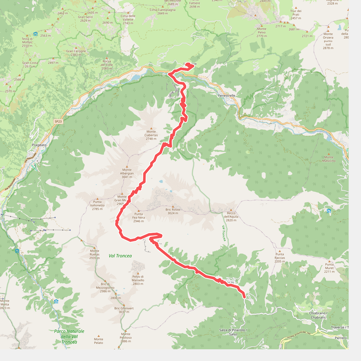
#5. Sentiero Italia - Piemonte E00 · SI
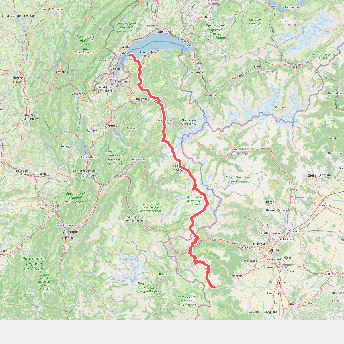
#6. Sulle strade dei valdesi: GRV Glorioso Rimpatrio dei Valdesi
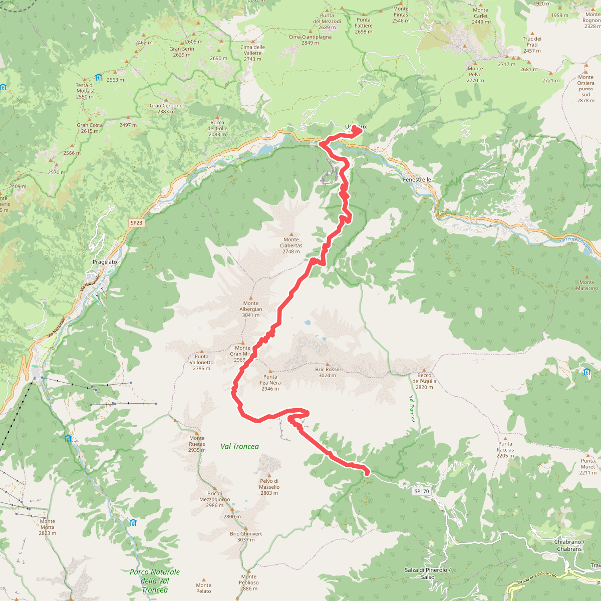
#7. Via Alpina Blue D39