The best hiking routes in Vadvetjåkka
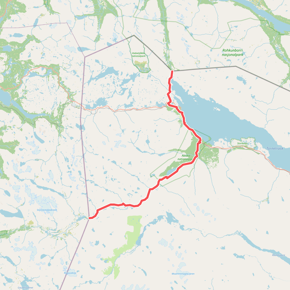
Discover the best walks in Vadvetjåkka. 1 routes on the map, with descriptions, photos and GPX.
About Vadvetjåkka
Vadvetjåkka National Park is a remote, northern wilderness dominated by a single limestone mountain ridge, Vadvetjåkka, which rises between two deep valleys. Unlike the dry, rocky plateaus found in other parts of northern Sweden, this park is characterized by its lush, lime-rich vegetation and extensive wetland systems. The valley floors are a maze of shallow lakes, delta land, and birch forests, while the higher slopes transition into bare alpine tundra.
Read more
About Vadvetjåkka
Vadvetjåkka National Park is a remote, northern wilderness dominated by a single limestone mountain ridge, Vadvetjåkka, which rises between two deep valleys. Unlike the dry, rocky plateaus found in other parts of northern Sweden, this park is characterized by its lush, lime-rich vegetation and extensive wetland systems. The valley floors are a maze of shallow lakes, delta land, and birch forests, while the higher slopes transition into bare alpine tundra.
Read moreVadvetjåkka National Park is a remote, northern wilderness dominated by a single limestone mountain ridge, Vadvetjåkka, which rises between two deep valleys. Unlike the dry, rocky plateaus found in other parts of northern Sweden, this park is characterized by its lush, lime-rich vegetation and extensive wetland systems. The valley floors are a maze of shallow lakes, delta land, and birch forests, while the higher slopes transition into bare alpine tundra.
Walkers will find no marked trails, cabins, or bridges inside the park boundaries. Progress relies entirely on navigating natural terrain, which alternates between thick willow mires in the lowlands and steep, scree-covered limestone slopes higher up. The ground underfoot is frequently wet, consisting of boggy peat and slippery limestone slabs, with no boardwalks to ease the crossing of the delta areas.
In July, the meltwater from the snowfields feeds the active delta of the Njuoraätno river, making the valley bottom particularly difficult to traverse. This park is suited for self-sufficient hikers who prefer off-trail navigation through wet birch forests and rocky ridges over structured path networks.